Arpino Adventure
A road cycling route starting from Anitrella-Chiaiamari
Embark on a road cycling adventure through the hilly terrain of Arpino
Map
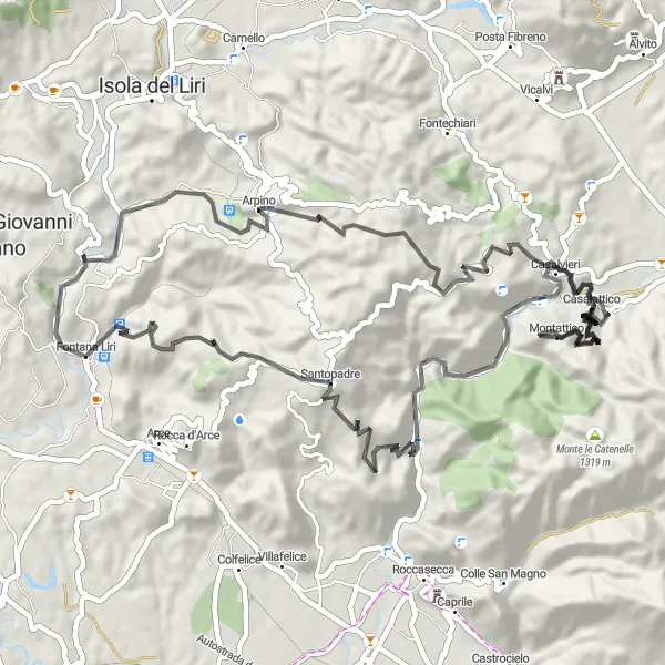
The Arpino Adventure is a thrilling road cycling route that takes riders through the hilly terrain of Arpino in Lazio, Italy. With an elevation gain of 2063 meters and a total distance of 74 kilometers, this route is recommended for experienced cyclists seeking a challenge. Starting near Anitrella-Chiaiamari, riders will enjoy panoramic views, exciting descents, and historic sights. From the enchanting village of Arpino to the stunning vantage point of Punto panoramico, this route offers diverse highlights that showcase the beauty of the region.
road
74 km
2063 m
Savage
Route profile
Highlights on the route
0 km
0 km
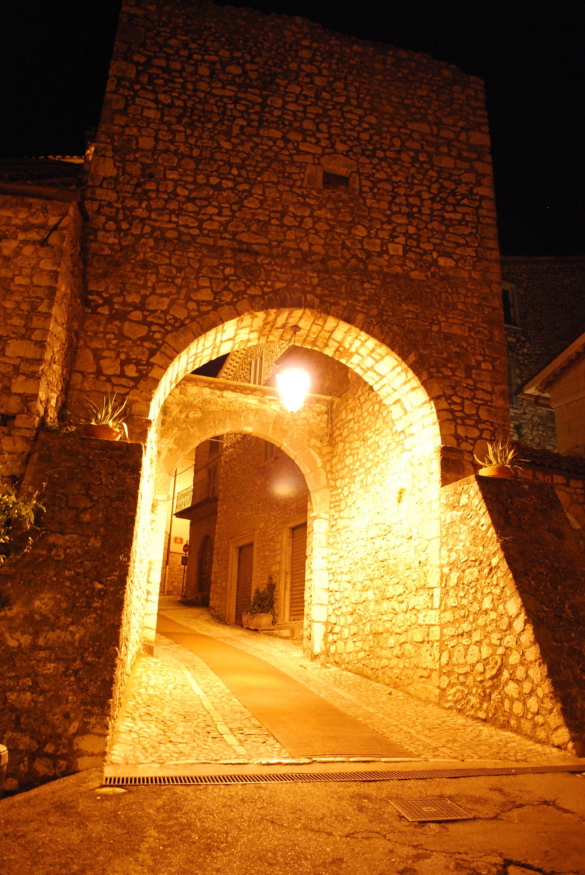
Start: Anitrella Village centerAnitrella-Chiaiamari: Cycling Haven in the Italian Countryside
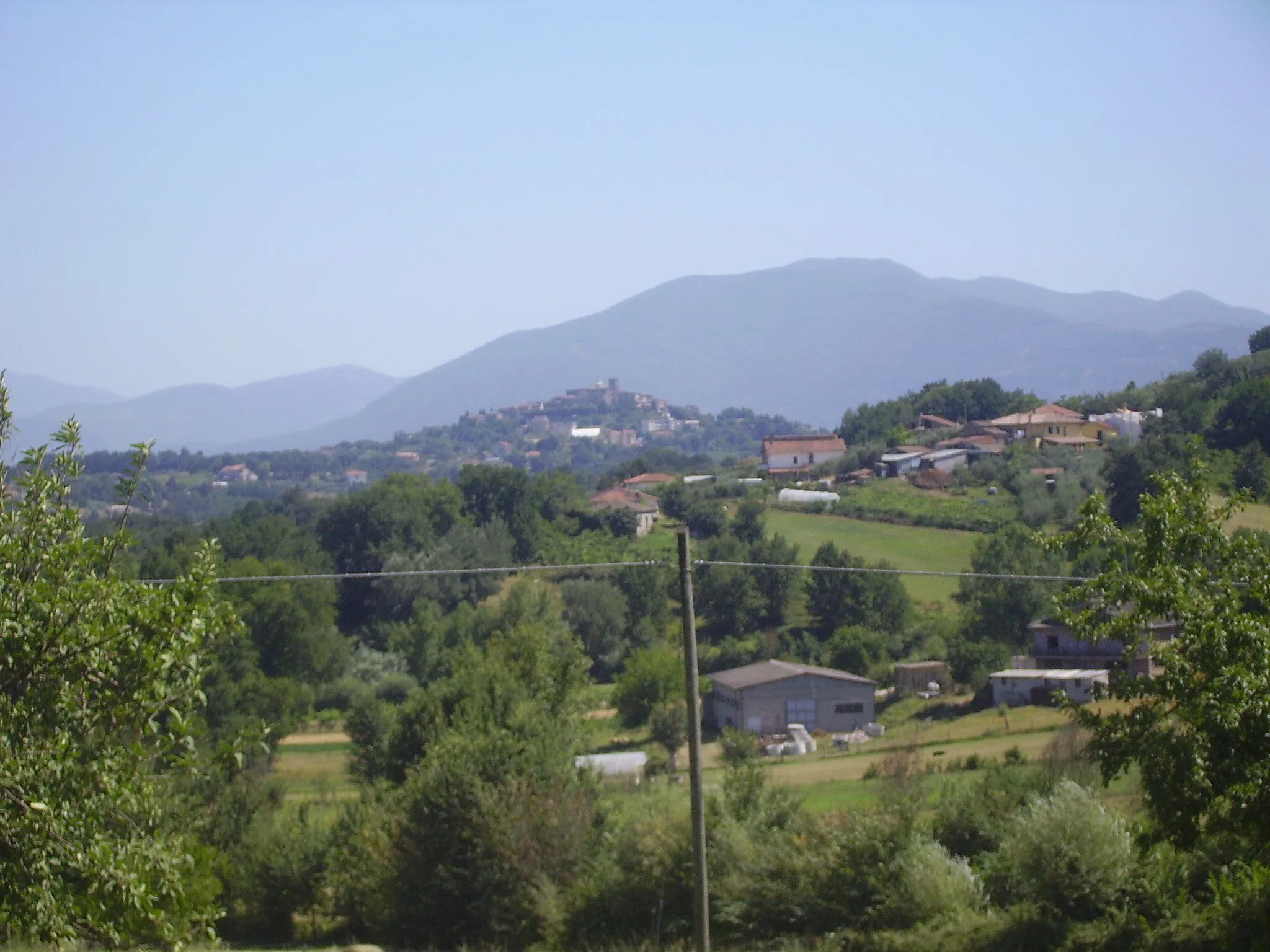
Anitrella-Chiaiamari is a locality in Italy, situated in the Lazio region. For road and gravel cyclists, Anitrella-Chiaiamari offers a mix of hilly and flat routes, allowing riders of all levels to find suitable challenges. The roads in the area are generally well-paved, making it easy to navigate. Nearby, there is the famous climb of Monte Ernici, known for its winding road and stunning views. For gravel cyclists, the trail through Lago di Canterno provides a scenic off-road experience. Anitrella-Chiaiamari is a great destination for cyclists looking to explore the Italian countryside, with a rank of 4.8 km
8 km
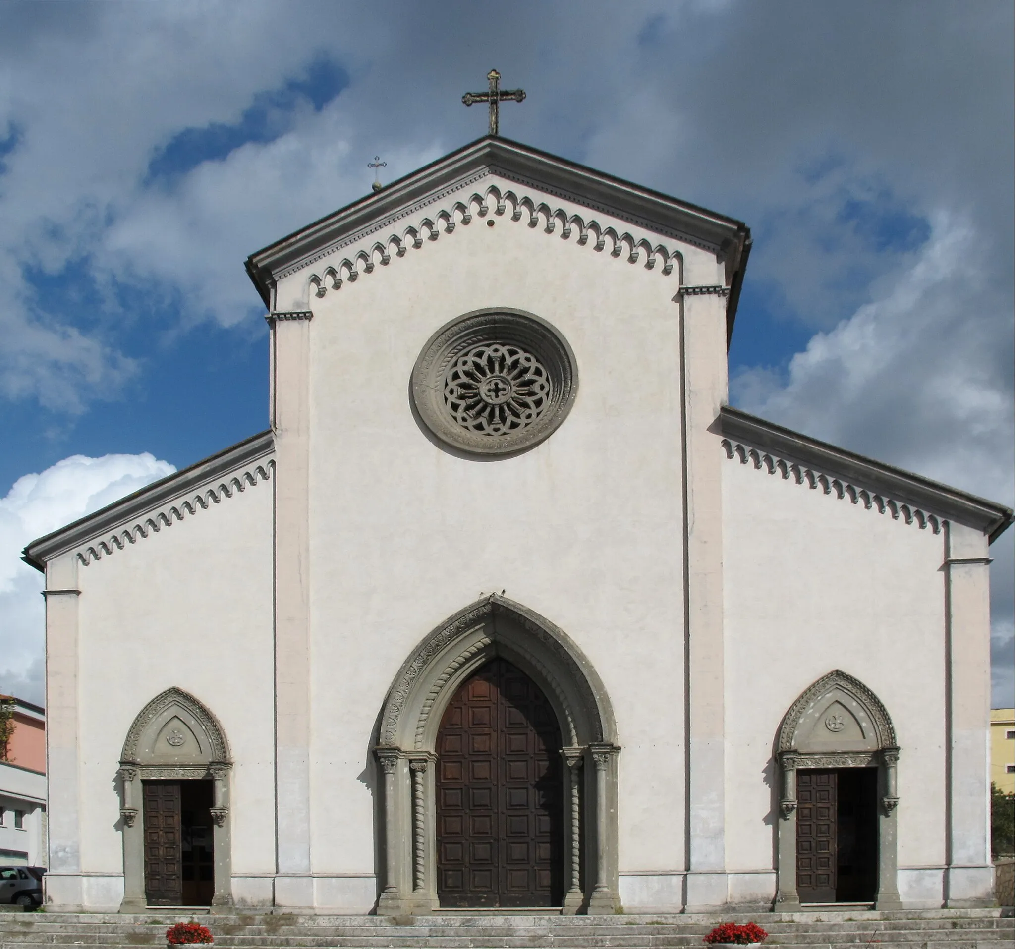
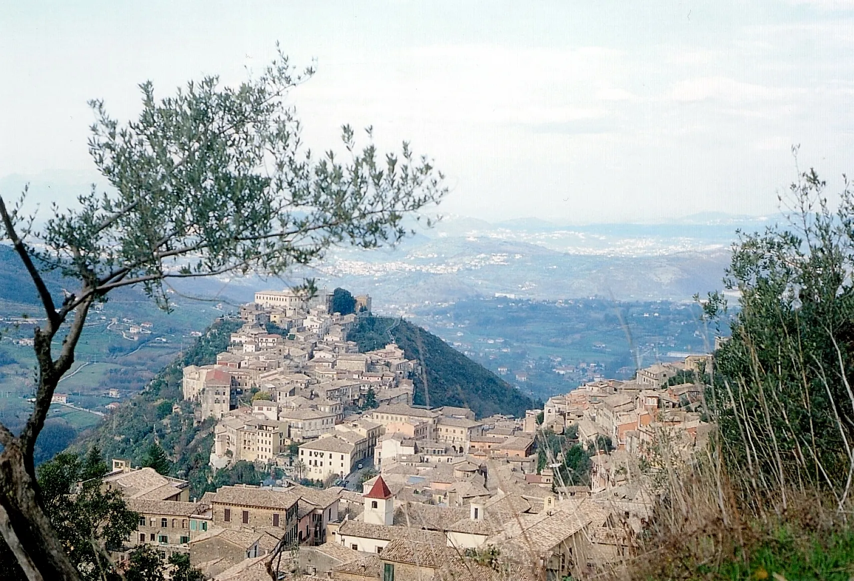
ArpinoVillageArpino, a medieval hilltop town, captures the hearts of cyclists with its narrow lanes, historic buildings, and beautiful squares.
8 km
8 km
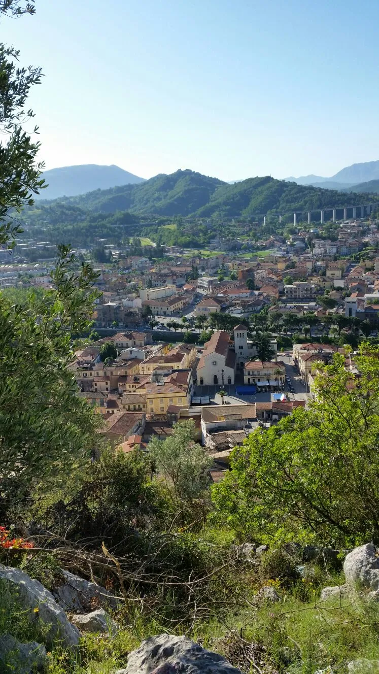
Punto panoramicoViewpointAt Punto panoramico, riders can take a break and soak in the breathtaking views of the surrounding countryside.
19 km
19 km
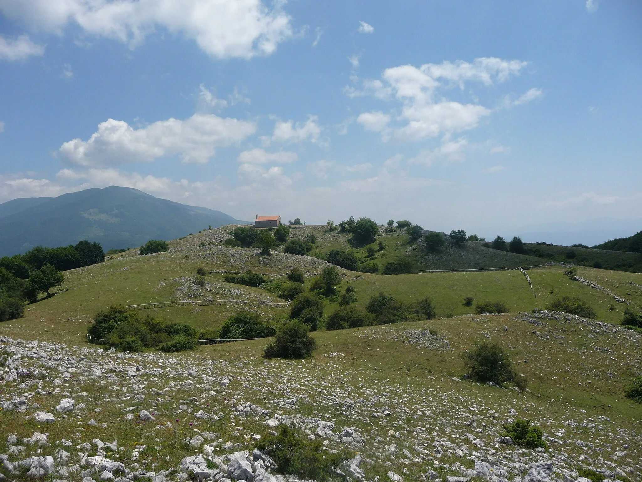
Monte di Togna687 mPeakMonte di Togna offers a challenging climb and rewards riders with a sense of accomplishment as they reach the top.
74 km
74 km
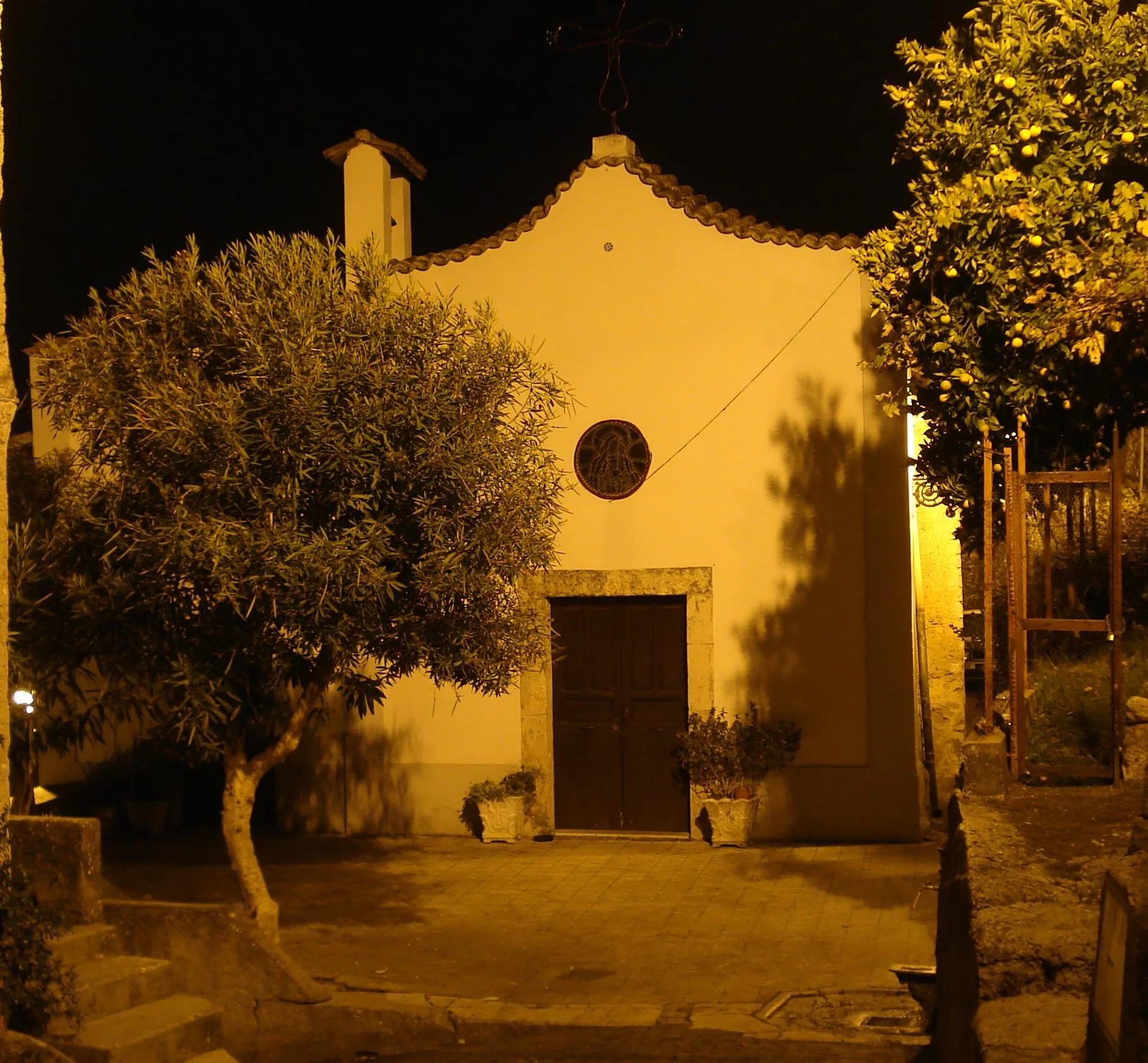
AnitrellaVillageAnitrella, the starting and ending point of the route, provides a picturesque backdrop for a memorable cycling adventure.
74 km
74 km
Finish: Anitrella Village centerAnitrella-Chiaiamari: Cycling Haven in the Italian Countryside
Cycling routes from Anitrella-Chiaiamari:
Cycling routes nearby: