The Mountain Trail
A road cycling route starting from Castelliri
Venture through the picturesque landscape of Lazio's mountains
Map

Embark on a challenging adventure through the enchanting mountains of Lazio. This round-trip cycling route near Castelliri takes you through stunning natural scenery and offers breathtaking views along the way. With a total ascent of 2819 meters and a distance of 124 kilometers, this route is ideal for experienced cyclists seeking a thrilling challenge.
road
124 km
2819 m
Tough
Route profile
Highlights on the route
0 km
0 km
Start: Castelliri Village centerCastelliri: Serene cycling in beautiful Castelliri.
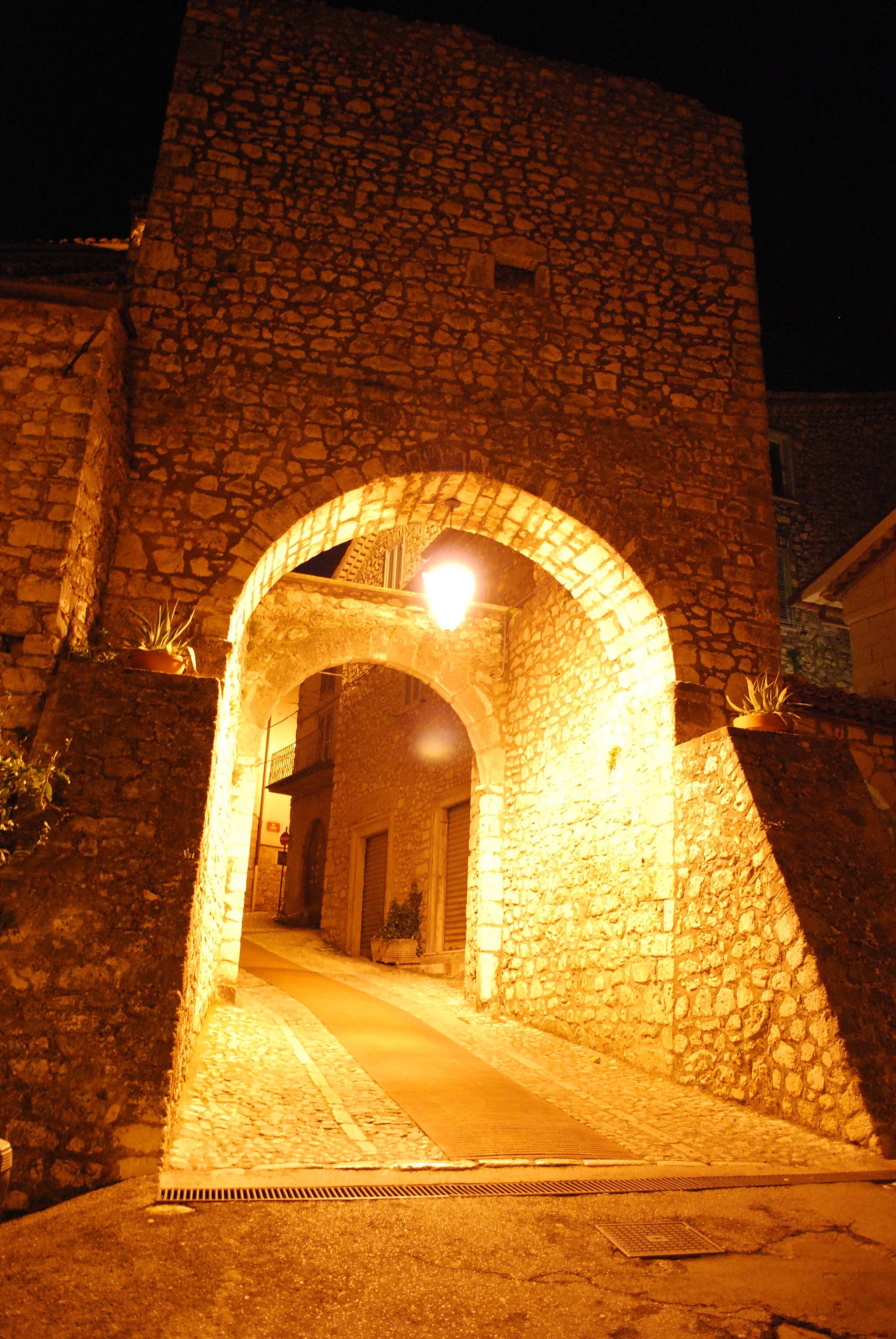
Castelliri is a small picturesque locality located in the Lazio region of Italy. From a cyclist's perspective, Castelliri offers a mix of moderate climbs and countryside routes. The peaceful villages and rolling hills around Castelliri provide a serene backdrop for cycling. One notable cycling spot nearby is natural reserve Riserva Lago di Posta Fibreno, where cyclists can enjoy nature trails and admire the beauty of the lake. With its tranquil atmosphere and scenic landscapes, Castelliri ranks as a 3 in terms of cycling appeal.8 km
8 km
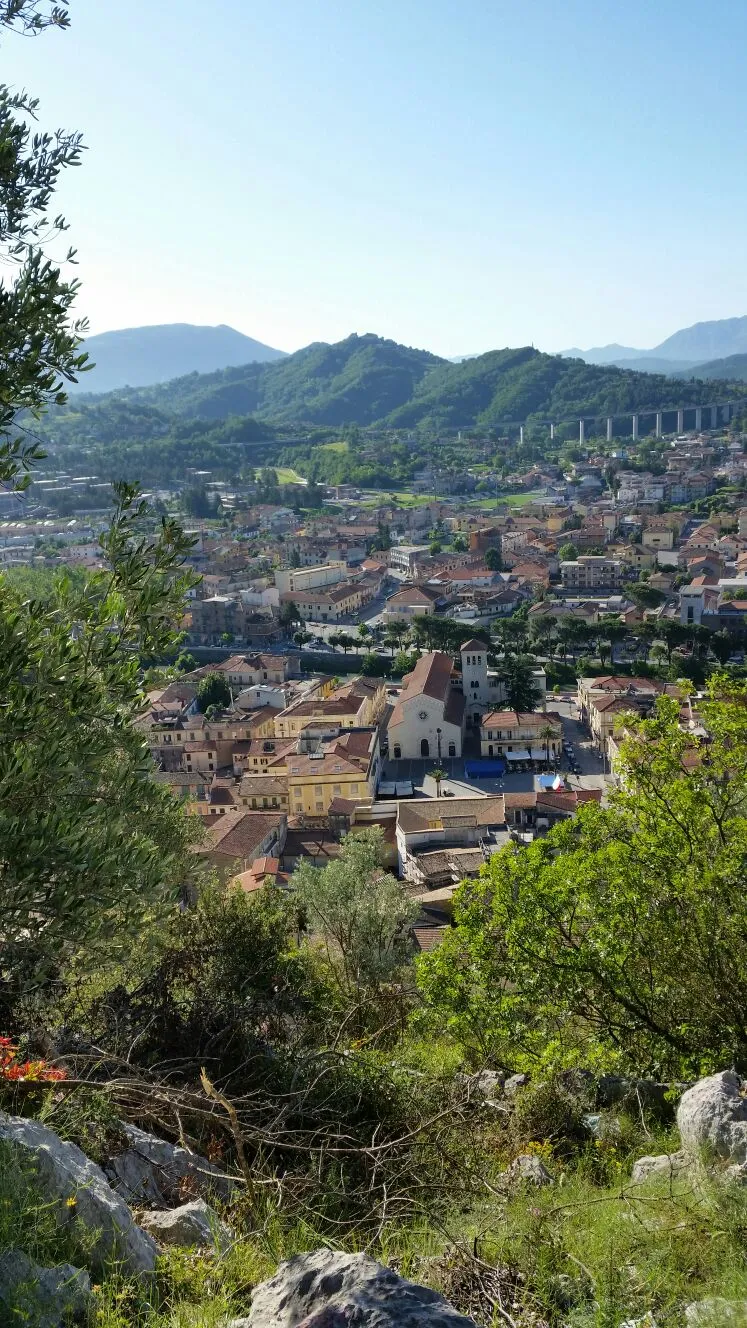
SoraTownAdmire the historic town of Sora, with its charming medieval architecture.
28 km
28 km
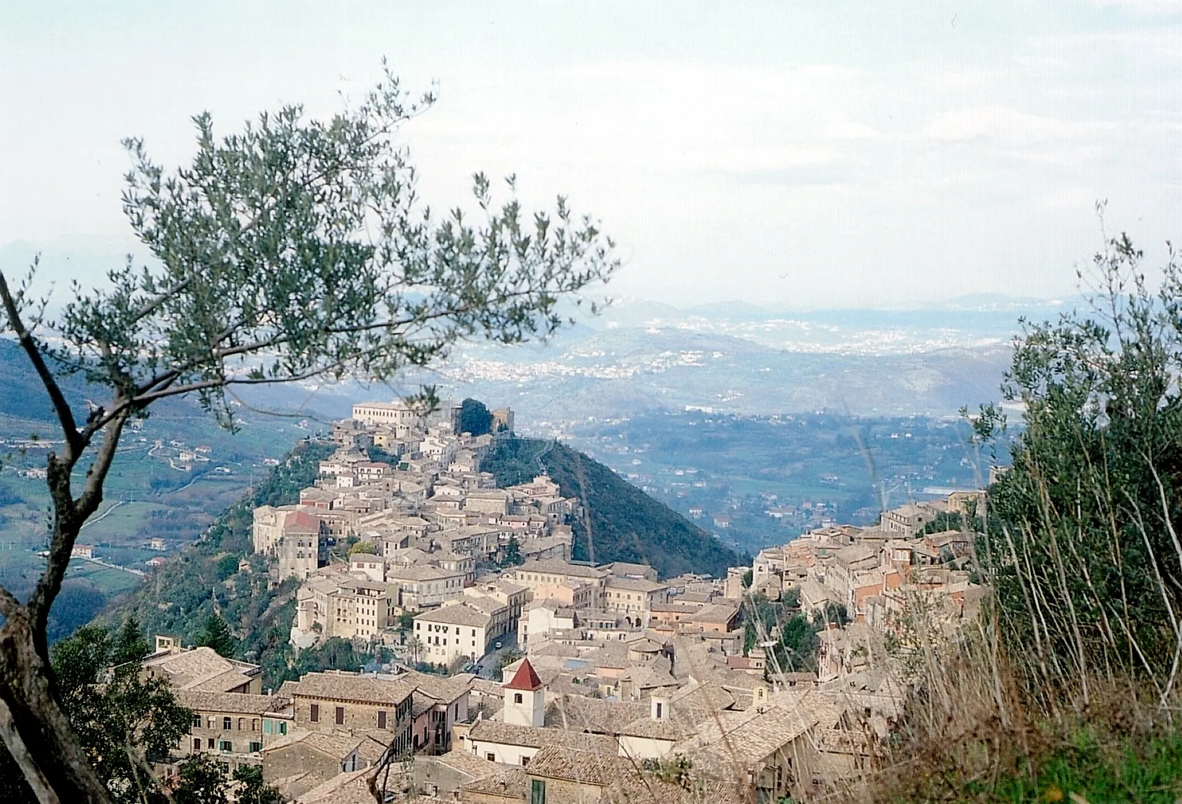
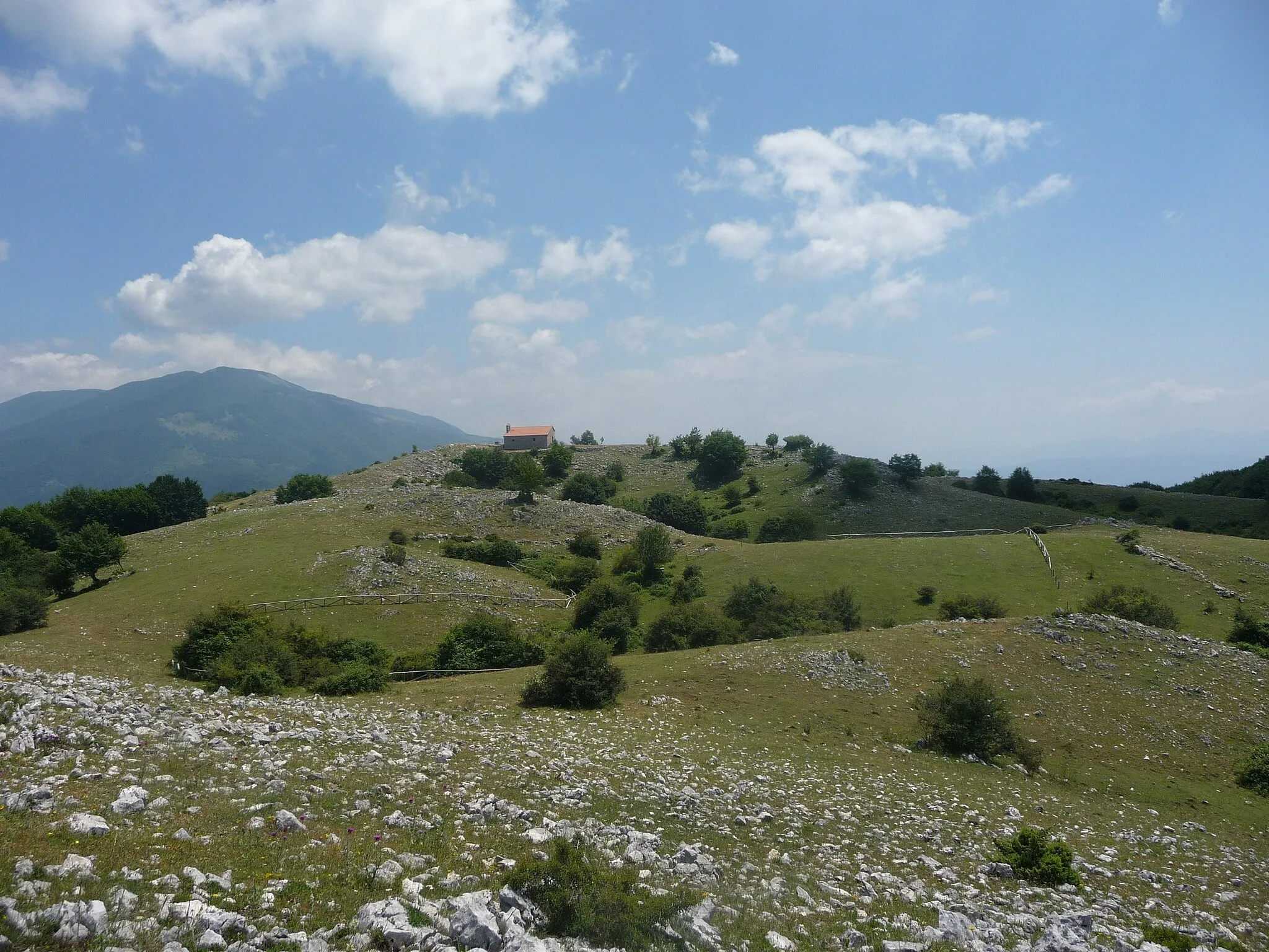
Colle Mancino1238 mPeakConquer the challenging ascent of Colle Mancino and enjoy the panoramic views from the top.
36 km
36 km
Monte Pizzuto1189 mPeakMarvel at the majestic Monte Pizzuto, known for its rugged beauty.
51 km
51 km
OpiVillageExplore the quaint village of Opi, nestled in the heart of the Abruzzo National Park.
80 km
80 km
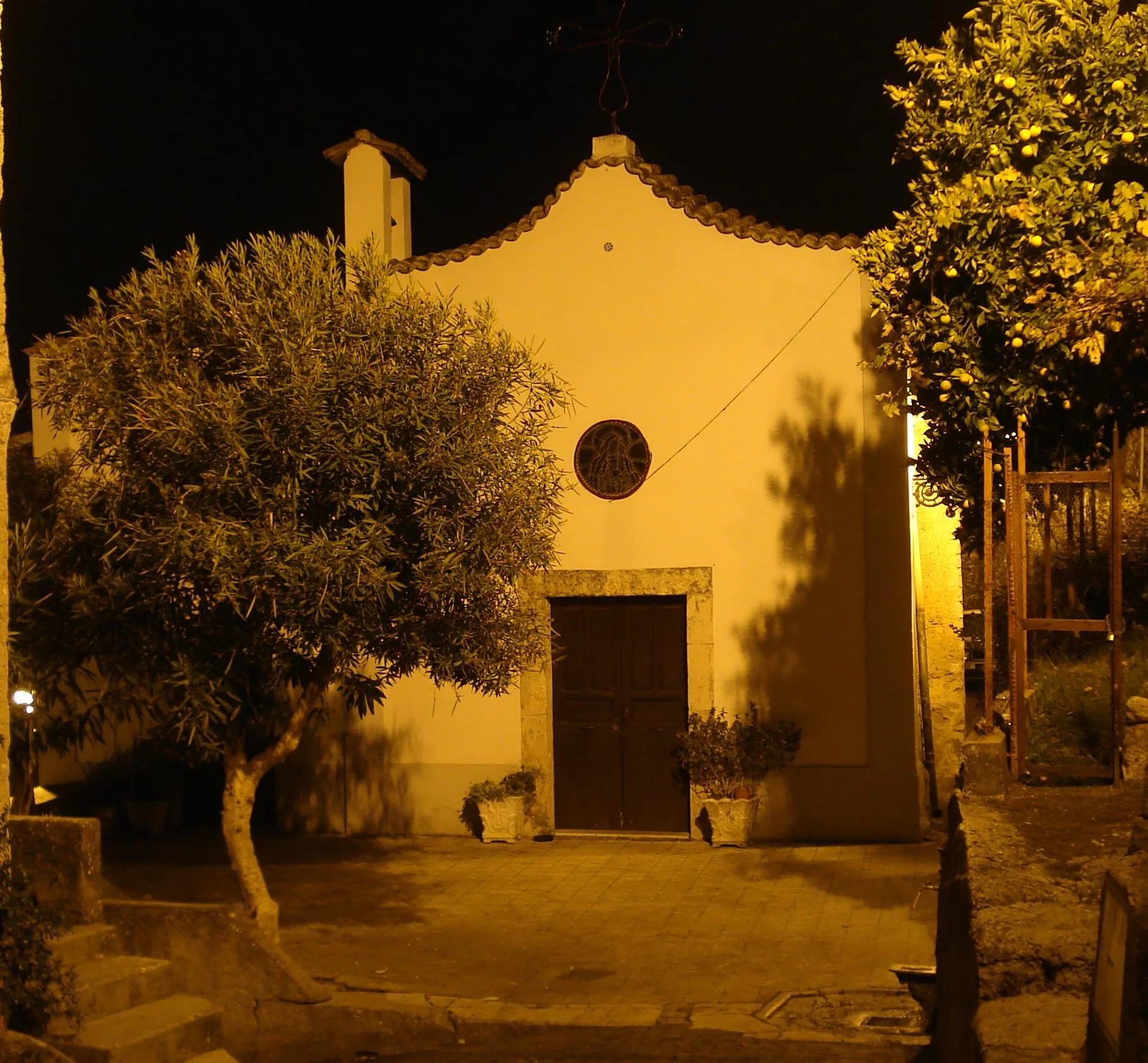
San Donato Val di CominoVillageVisit the picturesque town of San Donato Val di Comino, known for its rich history and scenic landscape.
98 km
98 km
Monte di Togna687 mPeakVenture up the challenging ascent of Monte di Togna, rewarded with panoramic vistas.
112 km
112 km
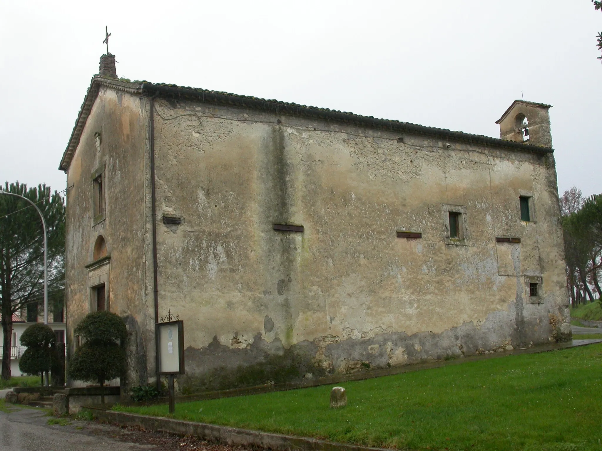
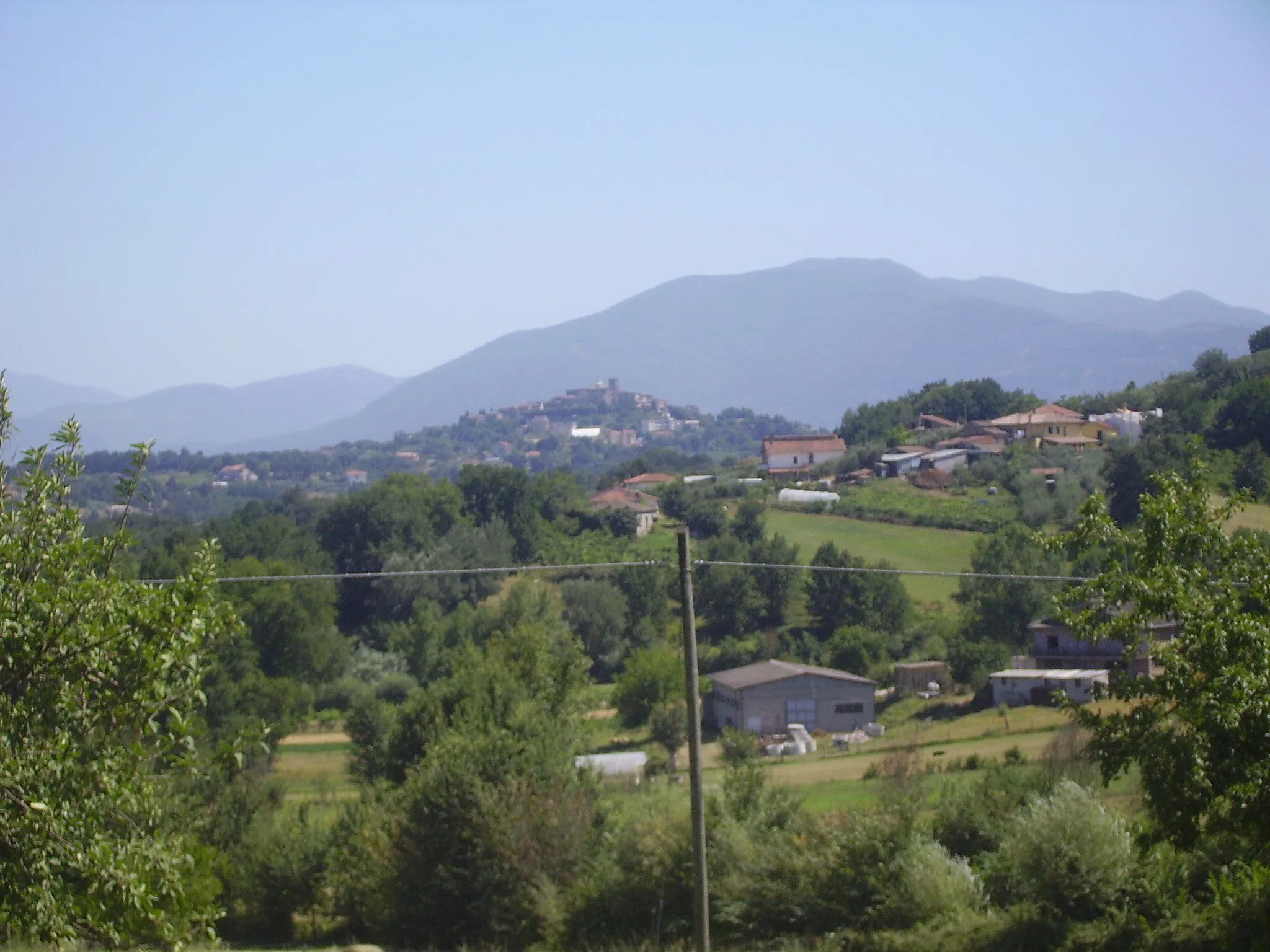
ArpinoVillageDiscover the ancient town of Arpino, famous for its Roman ruins.
112 km
112 km
Punto panoramicoViewpointStop by the Punto Panoramico viewpoint to take in the stunning vistas of the surrounding countryside.
122 km
122 km
Isola del LiriTownExplore the enchanting Isola del Liri, a small town built on two picturesque waterfalls.
124 km
124 km
Finish: Castelliri Village centerCastelliri: Serene cycling in beautiful Castelliri.
Cycling routes from Castelliri:
Cycling routes nearby: