Road cycling route from Monterotondo to Mentana
A road cycling route starting from Monterotondo
Explore the charming town of Mentana on this road cycling route starting from Monterotondo
Map
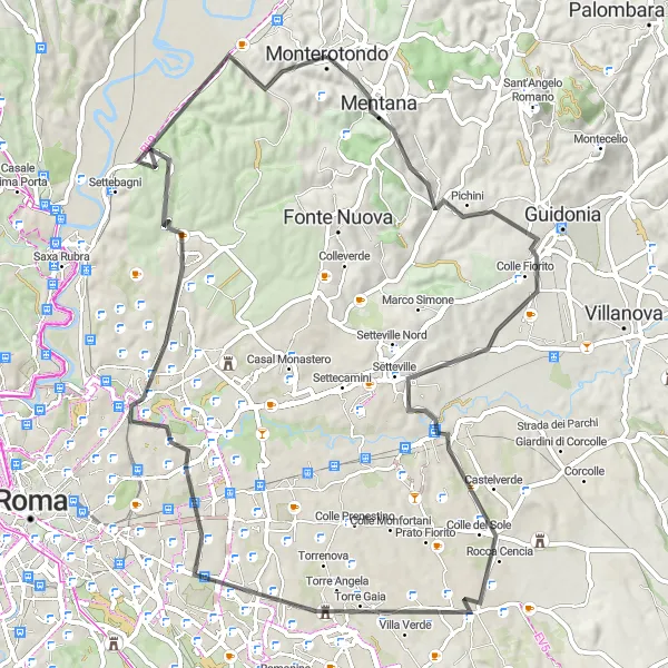
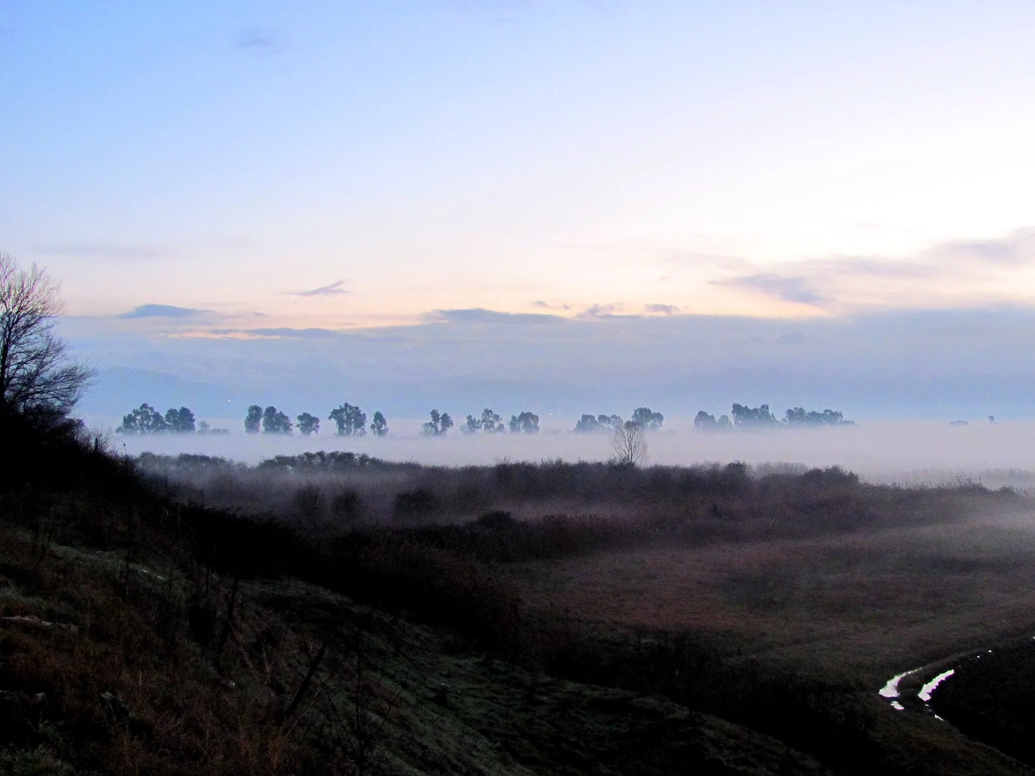
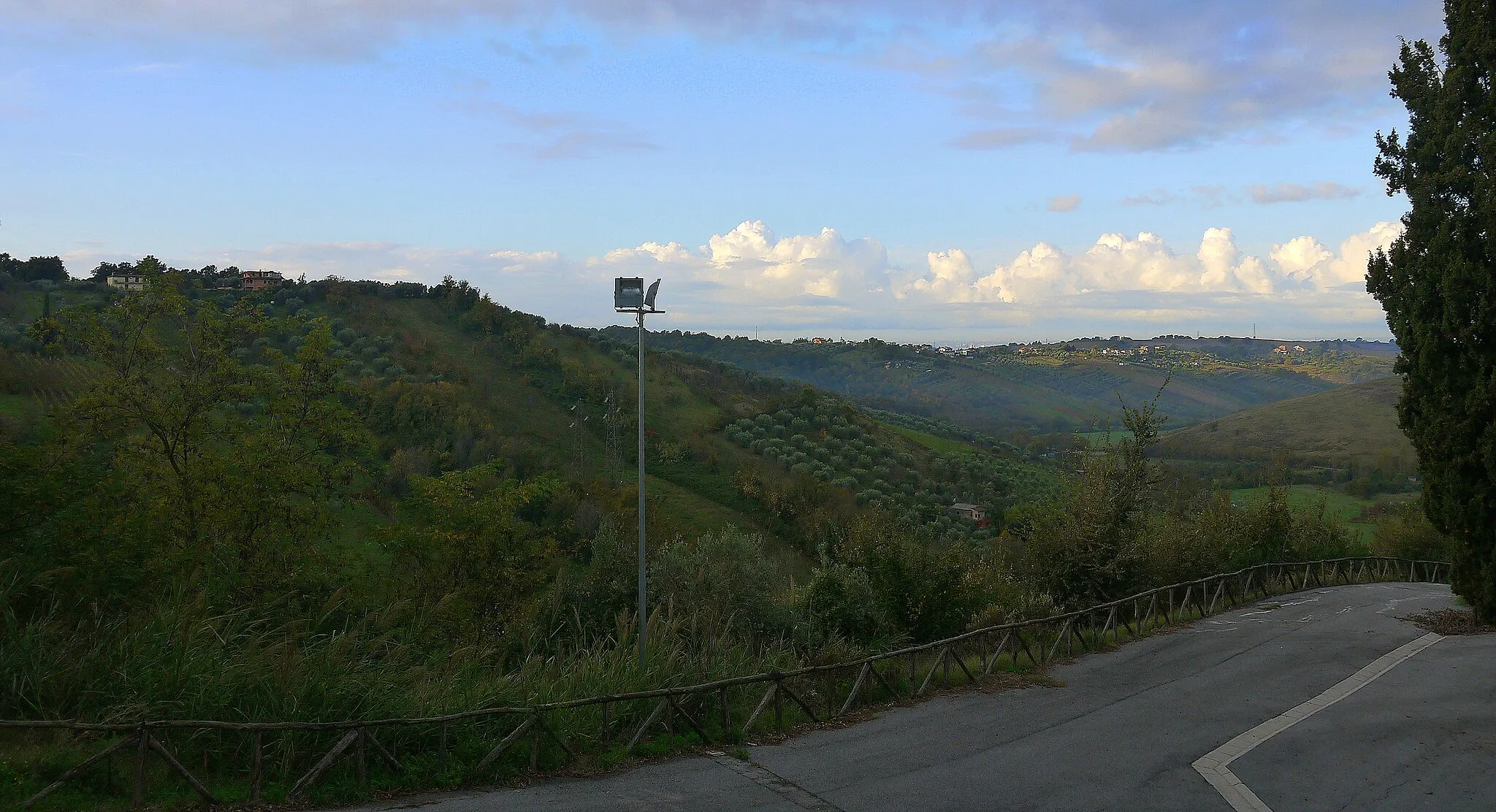
This road cycling route is a great way to explore the beautiful town of Mentana. With a total distance of 77 kilometers and an ascent of 653 meters, it offers a moderate challenge for well-trained amateurs. The highlight of the route is the stunning Monte d'Oro, which offers panoramic views of the surrounding countryside. Other highlights include the historic Setteville and the ancient Torre di Centocelle. Overall, this route provides a scenic and enjoyable cycling experience.
road
77 km
653 m
Tough
Route profile
Highlights on the route
0 km
0 km
Start: Monterotondo City centerMonterotondo: Opportunities for gravel cycling in the surrounding countryside.
Monterotondo is a bustling town located in the Lazio region of Italy. While it may not be an ideal locality for road cycling due to heavy traffic and limited cycling infrastructure, there are still some opportunities for gravel cycling in the surrounding countryside. Monterotondo is well-connected to nearby towns and offers some scenic routes for exploration. The town itself has some cultural attractions and amenities, making it interesting for tourists. Overall, Monterotondo is better suited for gravel cycling enthusiasts looking to explore the less congested roads outside the town.3 km
3 km
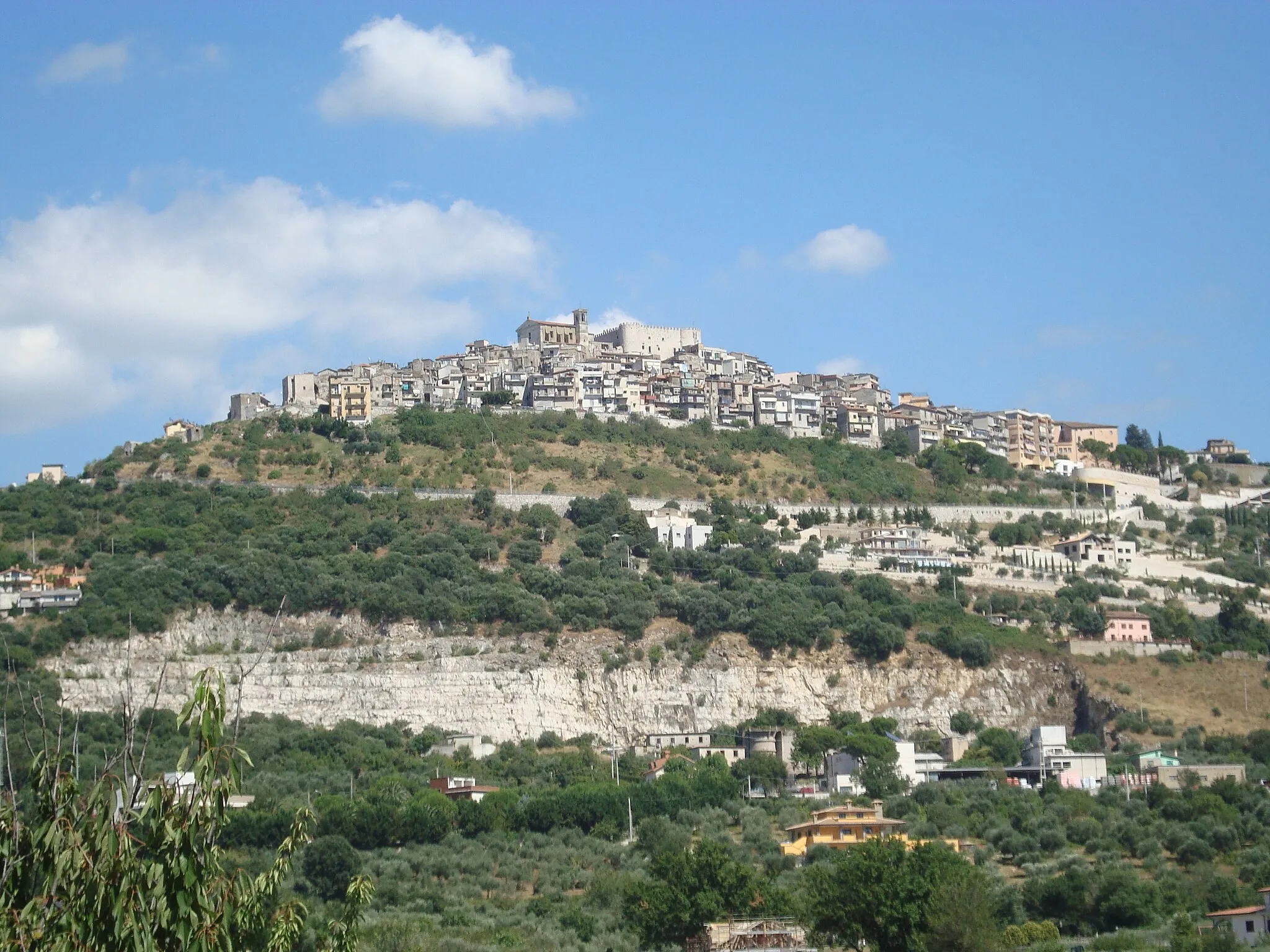
MentanaTownStop by Mentana and explore its historic center and charming streets.
4 km
4 km
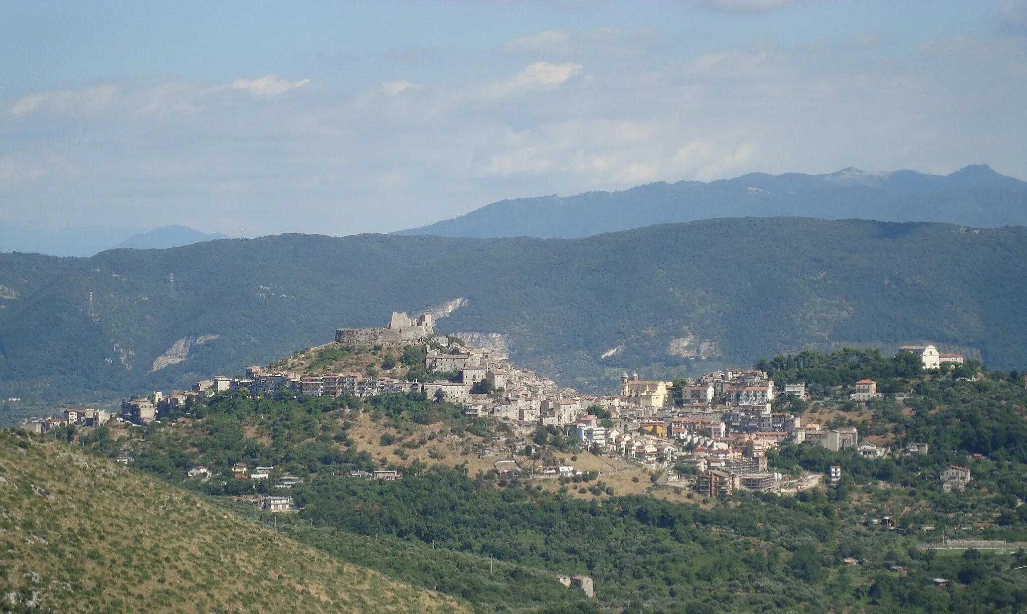
Monte d'Oro208 mPeakClimb to the top of Monte d'Oro and enjoy panoramic views of the Lazio region.
21 km
21 km
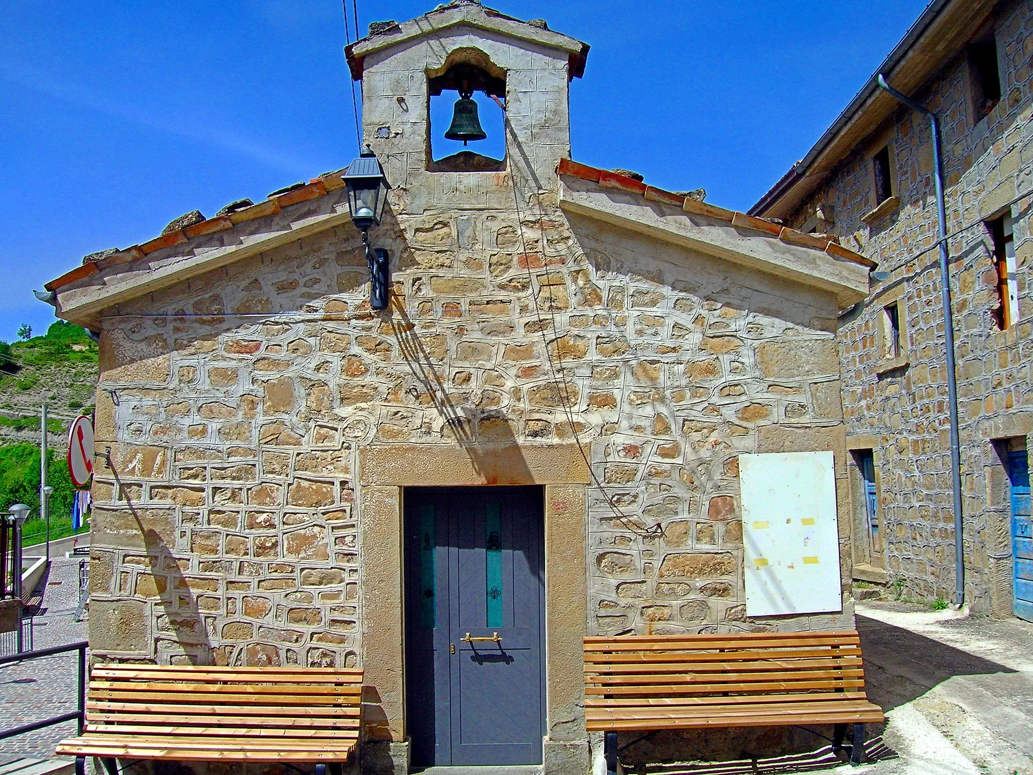
SettevilleVillageVisit the historic town of Setteville and admire its ancient architecture.
42 km
42 km
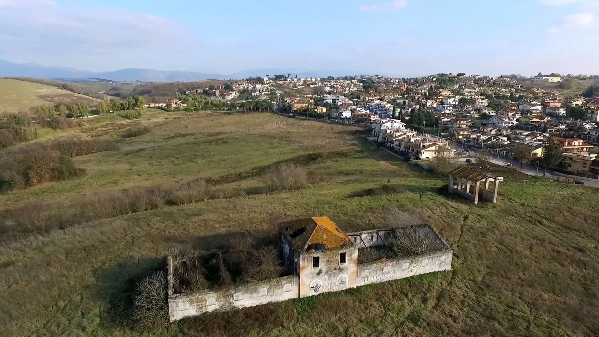
Torre di CentocelleCastle RuinsPass by the Torre di Centocelle, an ancient Roman tower with a fascinating history.
52 km
52 km
Ponte NomentanoCastle RuinsCycle across the picturesque Ponte Nomentano bridge, which dates back to ancient Rome.
77 km
77 km
MonterotondoTownMonterotondo - the starting and ending point of the route.
77 km
77 km
Finish: Monterotondo City centerMonterotondo: Opportunities for gravel cycling in the surrounding countryside.
Cycling routes from Monterotondo:
Exploring the Ancient Mentana Challenge of the Hills Scenic Delights: From Rome to Vatican City Journey through Ancient Villages Countryside Delights: Exploring the Roman Suburbs Road cycling route from Monterotondo to Mentana Road cycling route from Monterotondo to Lunghezza Road cycling route from Monterotondo to Montorio Romano Road cycling route from Monterotondo to Fonte Nuova Road cycling route from Monterotondo to Mentana The Challenging Loop from Monterotondo to Monterotondo
Cycling routes nearby: