Ronciglione to Otricoli
A road cycling route starting from Ronciglione
Cycling adventure from Ronciglione to Otricoli
Map
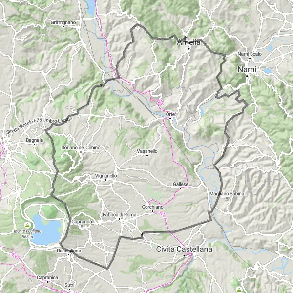
Embark on an exhilarating cycling journey from Ronciglione to Otricoli, covering a distance of 124 km and ascending a total of 2004 meters. This road route offers stunning scenery, challenging climbs, and picturesque villages along the way.
road
124 km
2004 m
Tough
Route profile
Highlights on the route
0 km
0 km
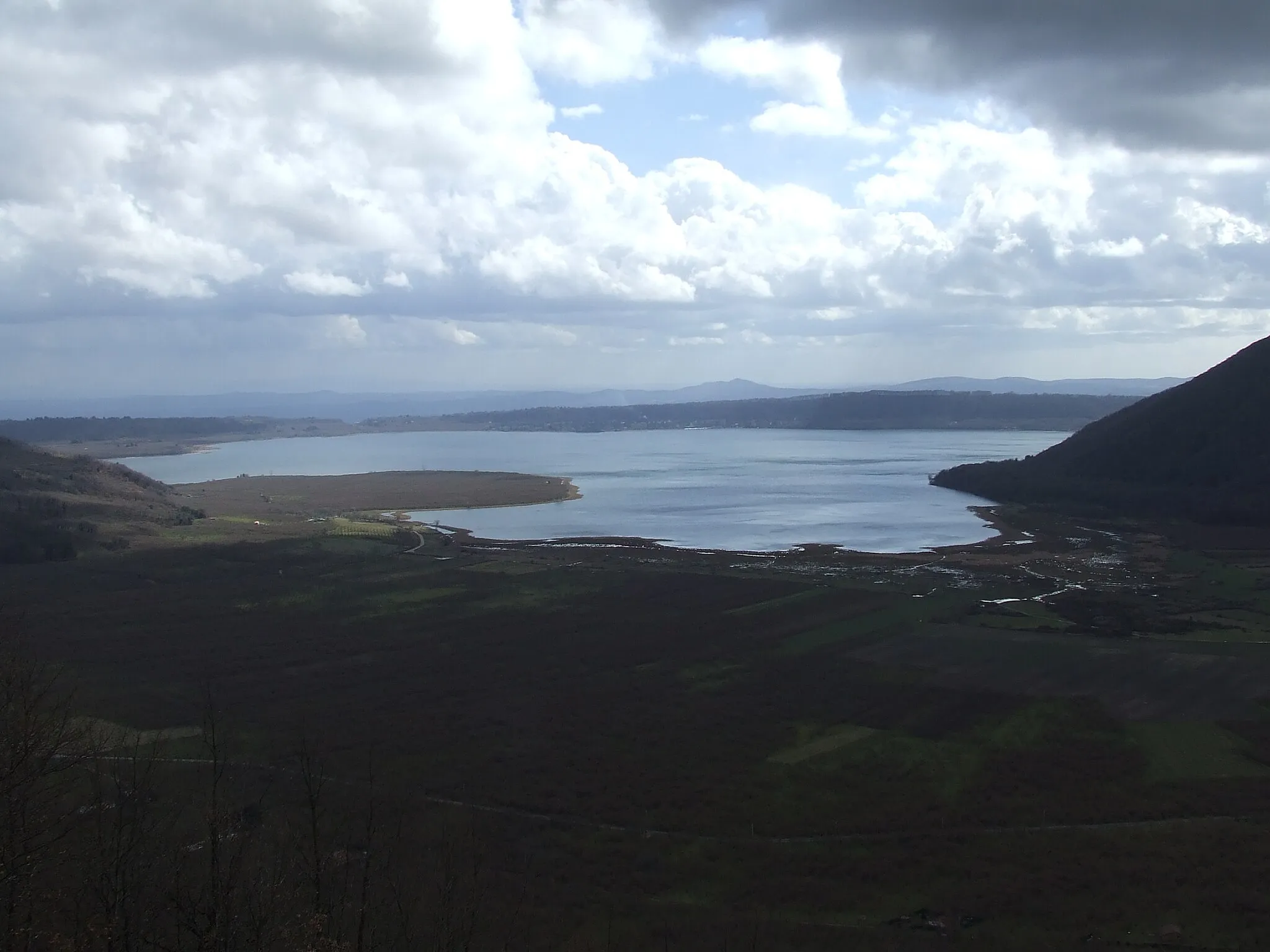
Start: Ronciglione Village centerRonciglione: Cycling paradise near the famous Monte Rufeno climb
Ronciglione, located in the Lazio region of Italy, is a charming locality with plenty to offer for cyclists. The town boasts well-maintained roads that are perfect for both road and gravel cycling. Cyclists can explore the rolling hills and enjoy the stunning scenery alongside picturesque lakes. Additionally, Ronciglione is near the historic climb of Monte Rufeno, which attracts many cyclists seeking a challenging ride. Overall, Ronciglione provides an excellent cycling experience with its scenic routes and proximity to notable climbs.0 km
0 km
RonciglioneVillageStart your ride in Ronciglione, a charming town known for its medieval architecture.
9 km
9 km
Poggio Gallesano839 mPeakExperience the thrill of conquering the Poggio Gallesano, a challenging climb with breathtaking views.
18 km
18 km
Montalto778 mPeakPass through Montalto, a small village nestled amidst rolling hills.
30 km
30 km
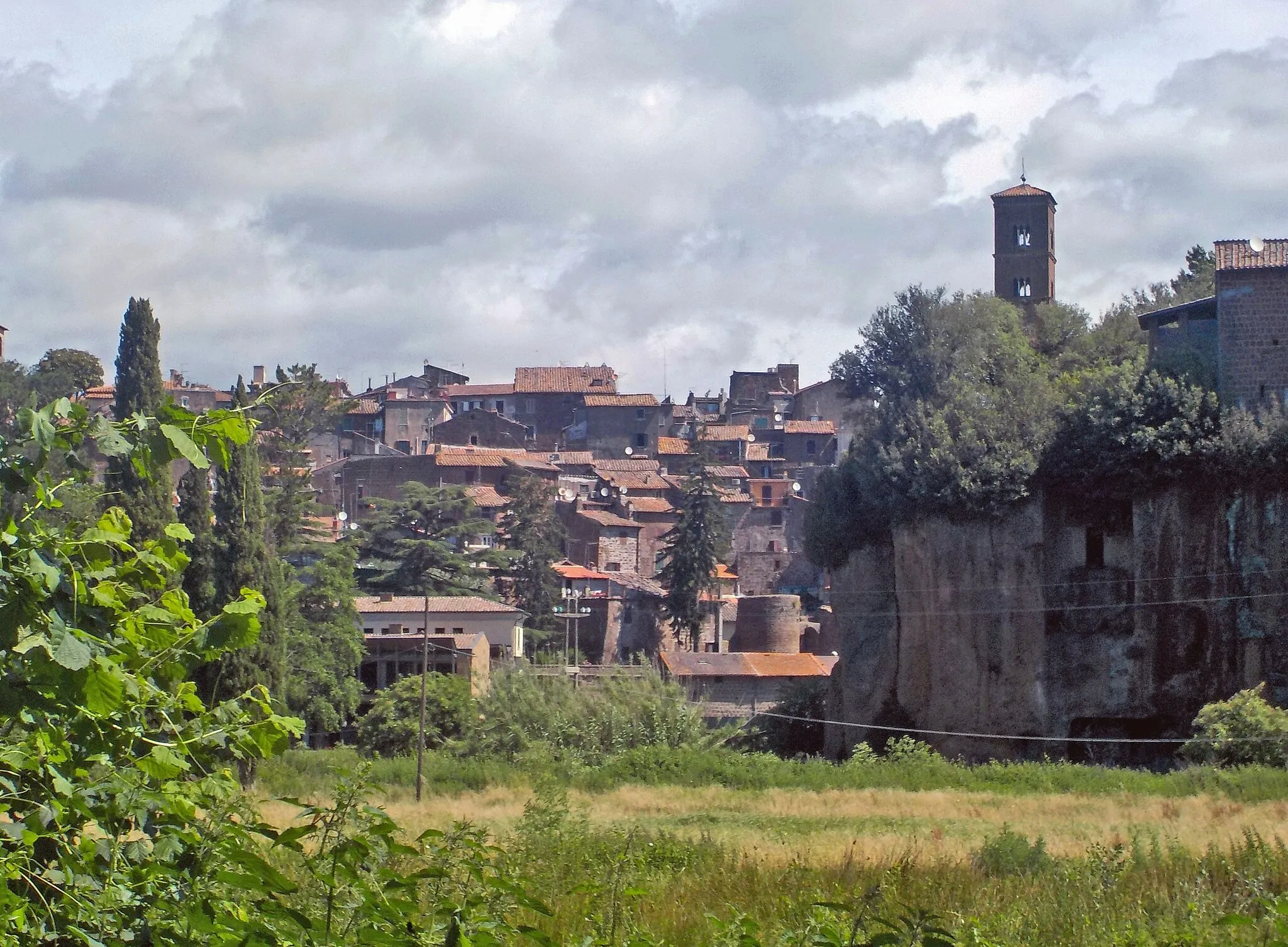
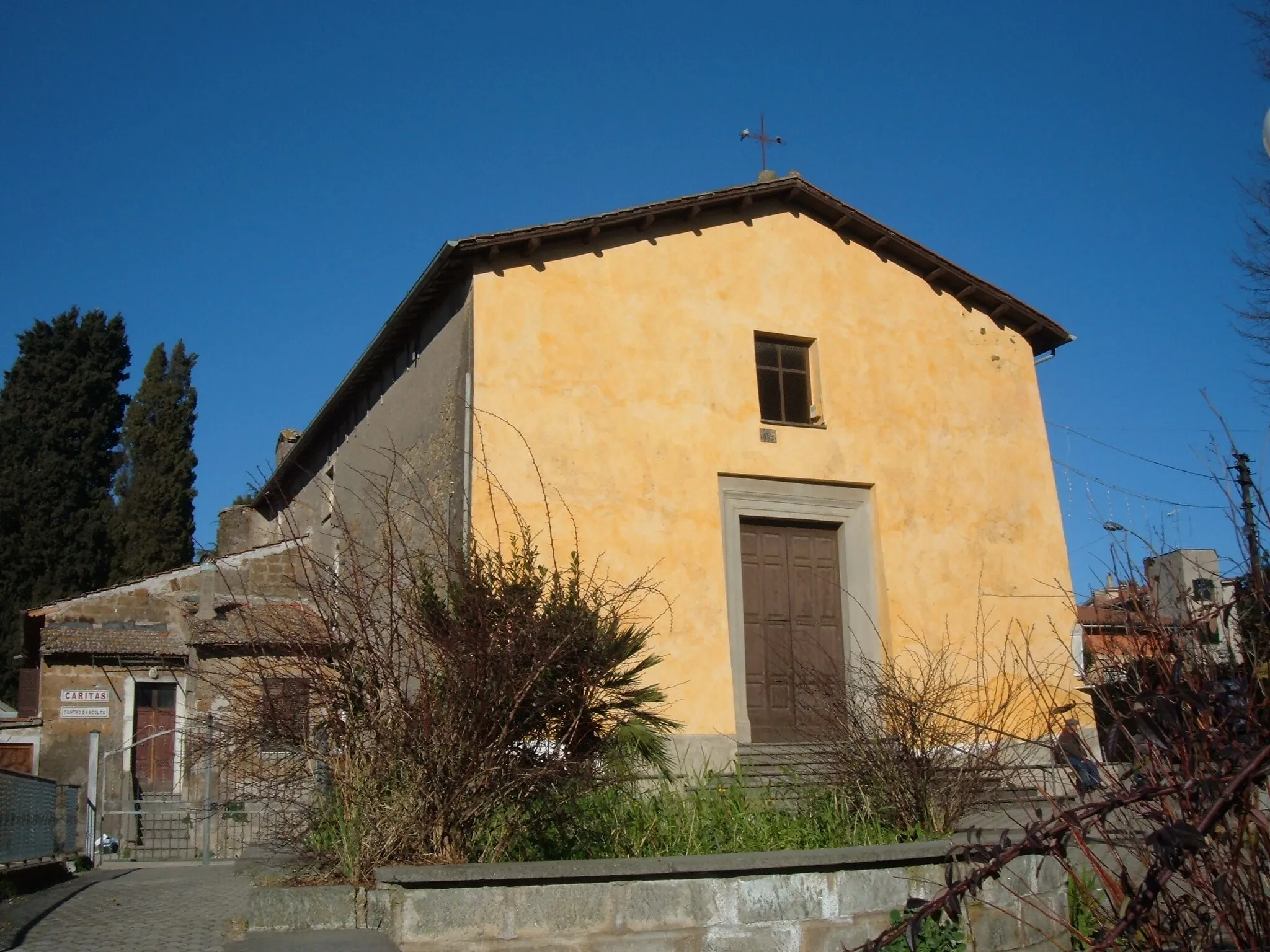
BomarzoVillageMake a stop at Bomarzo, famous for its Sacro Bosco, a Renaissance garden filled with intriguing sculptures.
47 km
47 km
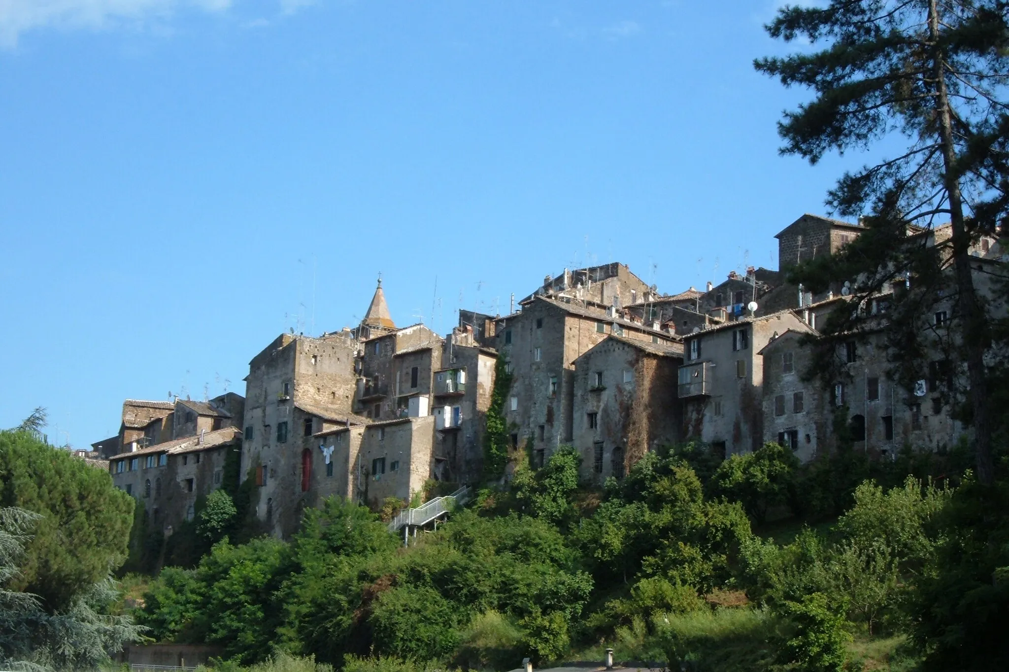
Lugnano in TeverinaVillagePedal through Lugnano in Teverina, a picturesque hilltop town with panoramic vistas.
57 km
57 km
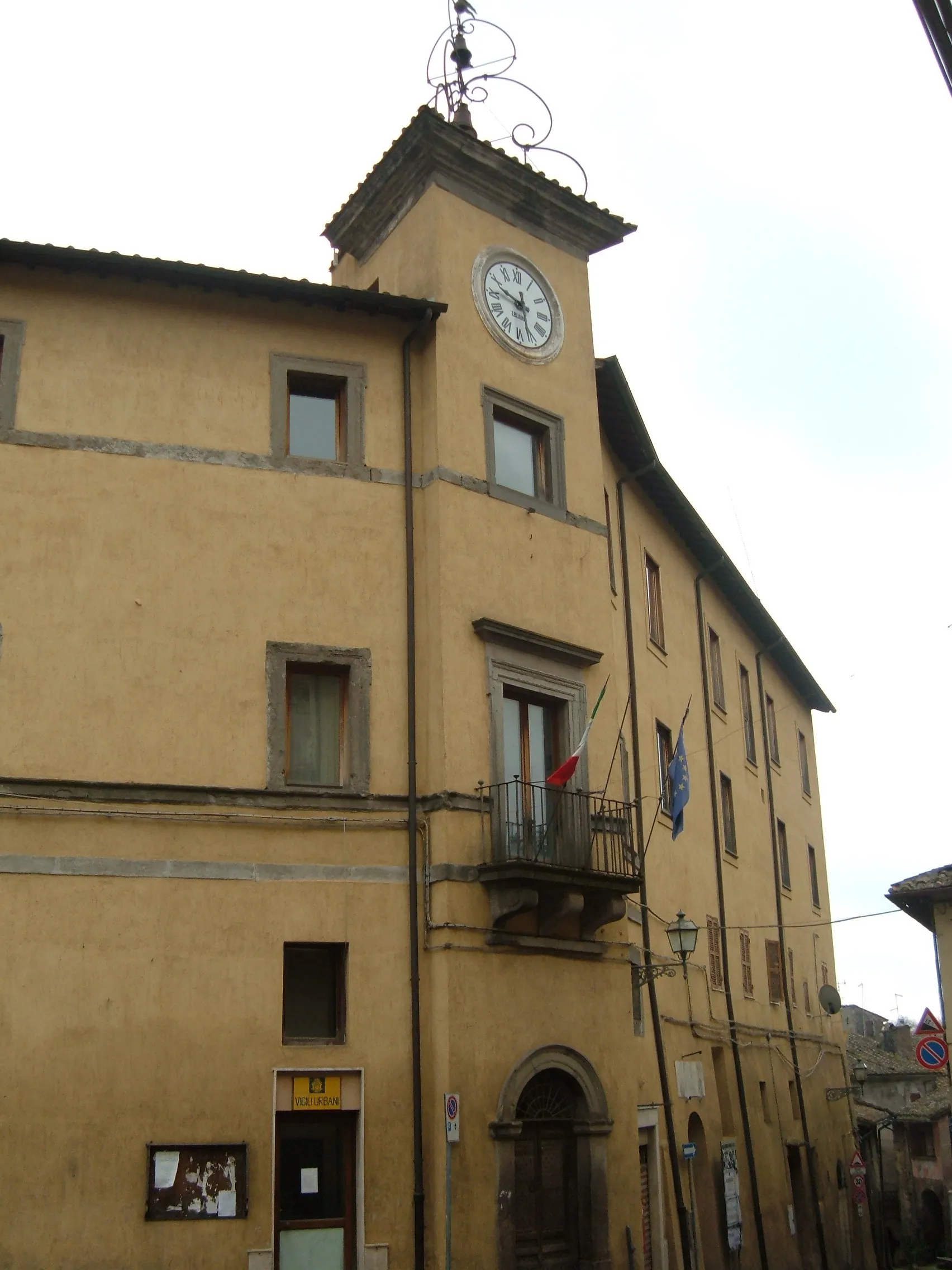
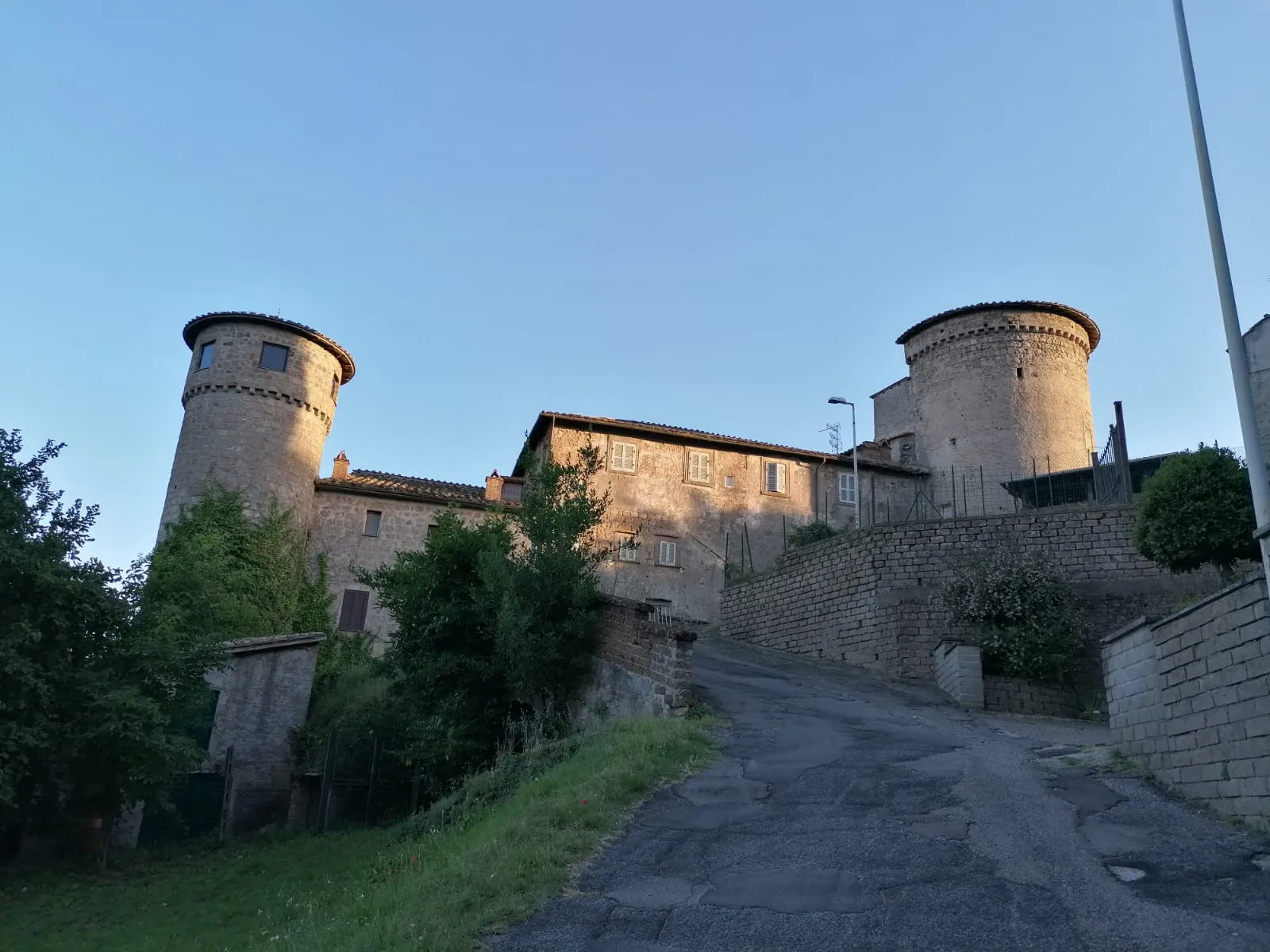
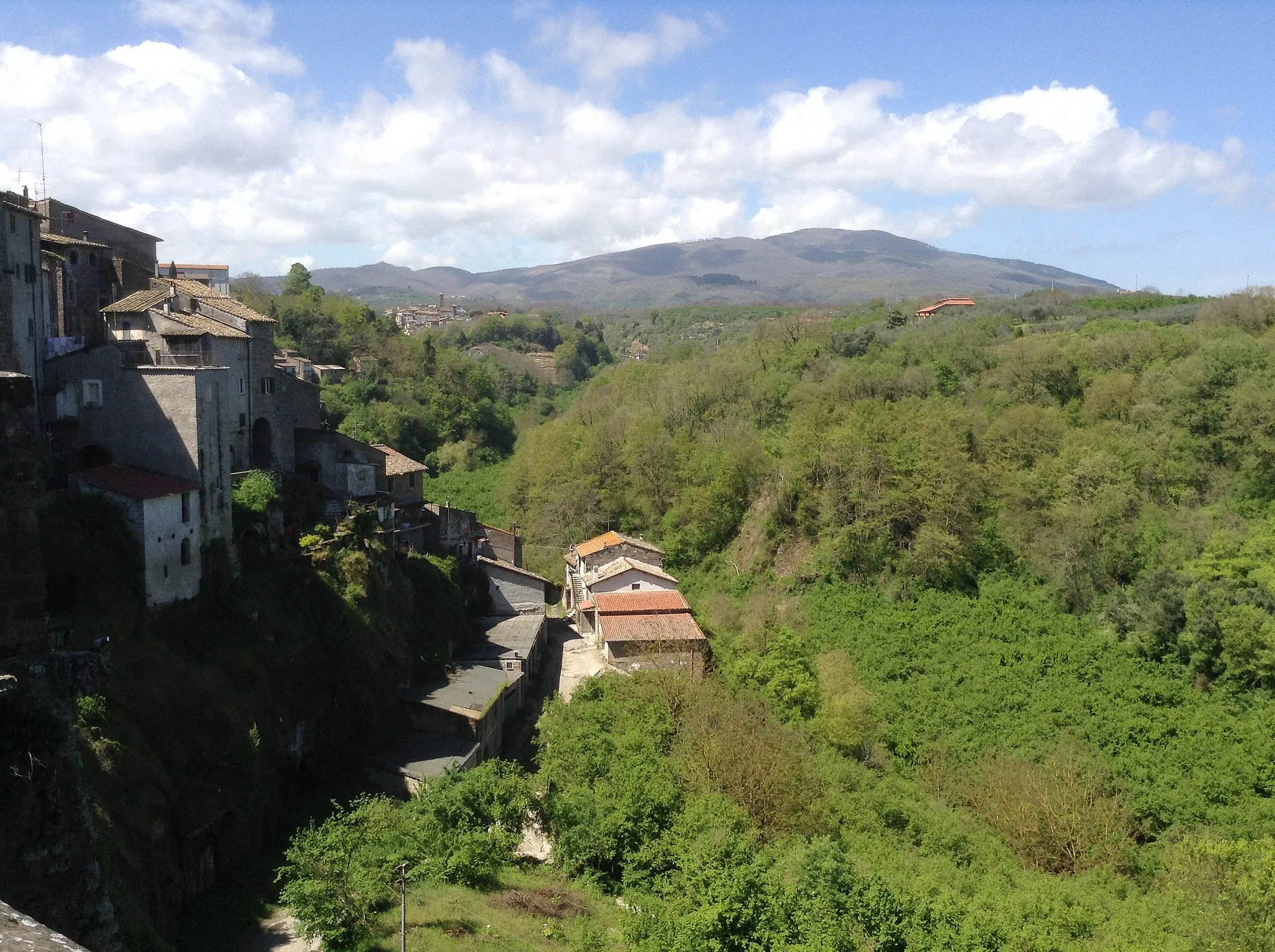
AmeliaTownExplore the ancient town of Amelia, known for its well-preserved Roman walls and archaeological sites.
58 km
58 km
Monte San SalvatoreViewpointAdmire the beauty of Monte San Salvatore, a natural landmark offering sweeping views of the surrounding countryside.
75 km
75 km
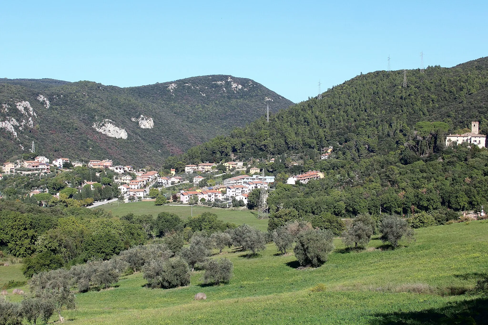
TaizzanoVillagePass by Taizzano, a small village surrounded by enchanting countryside.
87 km
87 km
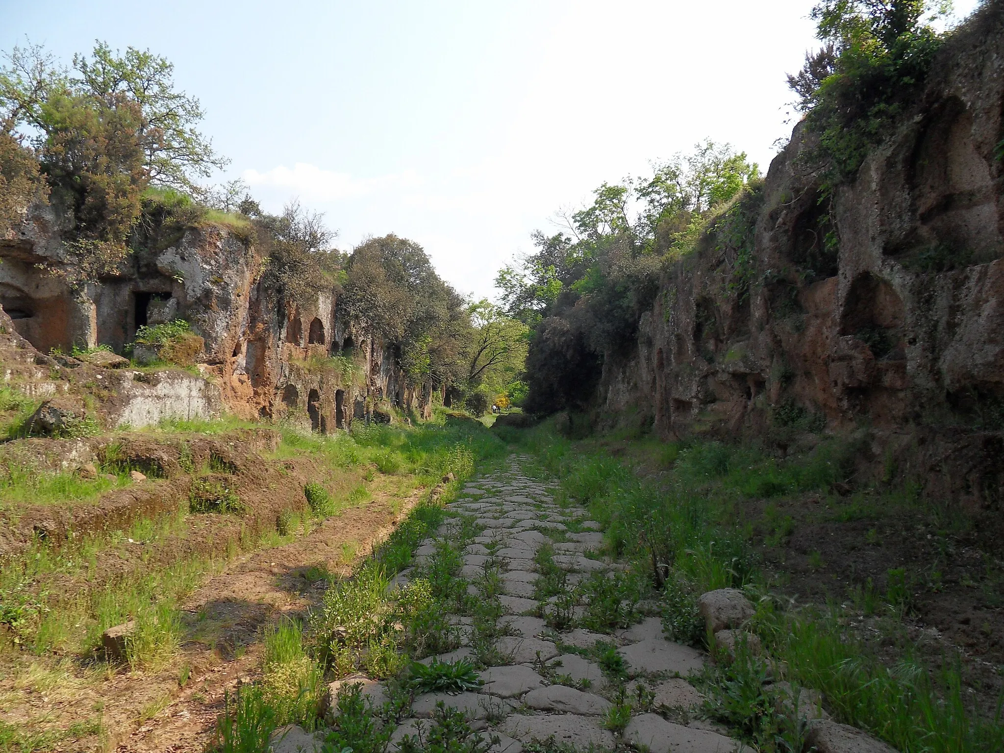
OtricoliVillageArrive in Otricoli, where you can visit the Roman archaeological site of Ocriculum.
124 km
124 km
Finish: Ronciglione Village centerRonciglione: Cycling paradise near the famous Monte Rufeno climb
Cycling routes from Ronciglione:
Sutri to Ronciglione Loop Gravel Adventure to Monte Foglietti Scenic Gravel Ride to Barbarano Romano Ronciglione to Cisterna Romana Sutri Gravel Ride with Stunning Scenery Gravel Adventure in Ronciglione and Sutri Poggio Gallesano Loop Ronciglione to Otricoli Ronciglione to Nepi Road Route Ultimate Gravel Adventure in Capranica and Vejano Gravel Adventure from Ronciglione The Lazio Heritage Ride Gravel Adventure in Tuscia Cycling Amongst Nature
Cycling routes nearby: