Tour de Livigno
A road cycling route starting from Livigno
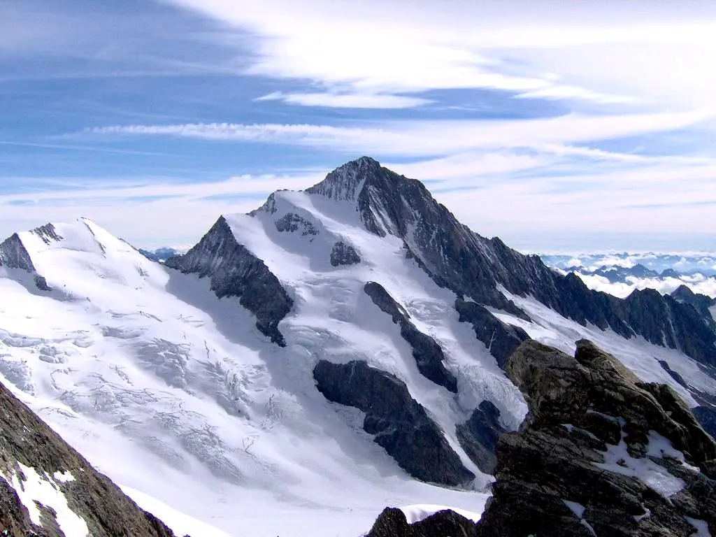
Breathtaking alpine beauty and challenging ascents
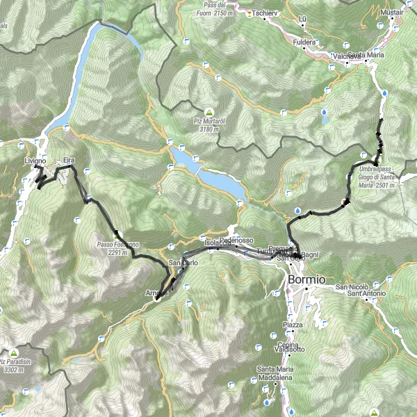
Map
The Tour de Livigno is a stunning cycling route that takes you through the mesmerizing alpine landscapes of Lombardia, Italy. With a total distance of 113 kilometers and 3,894 meters of ascent, this route attracts cyclists from all around the world.
road
113 km
3894 m
Tough
Route profile
Highlights on the route
0 km
0 km
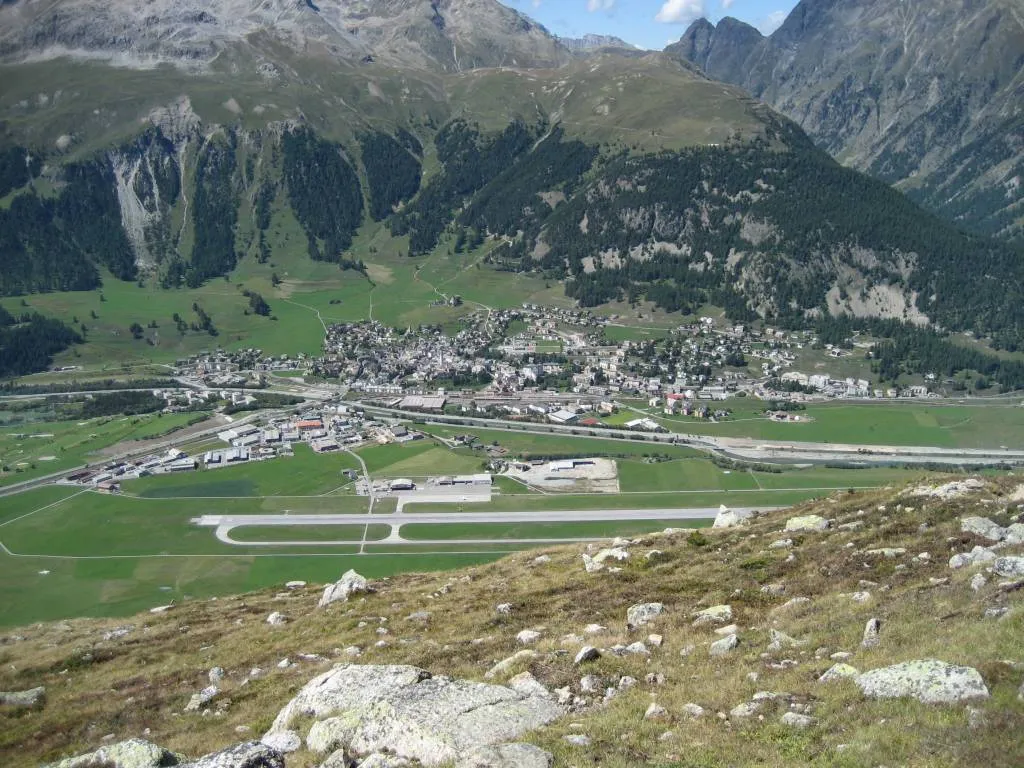
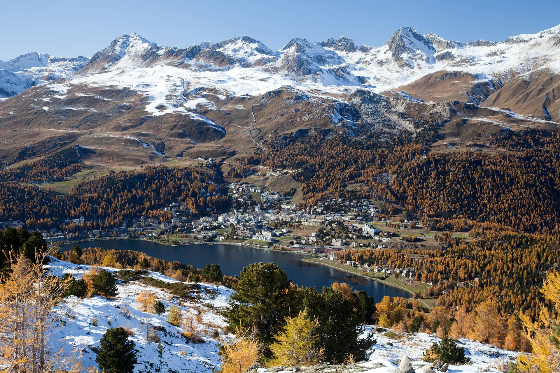
Start: Livigno Village centerLivigno: Cycling paradise in the heart of the Alps
Livigno is a popular destination for road and gravel cyclists due to its stunning mountain scenery and high altitude. Cyclists can enjoy challenging climbs and panoramic views of the surrounding Alps. The area offers a variety of routes for all levels of cyclists, from gentle flat rides to steep and demanding ascents. Livigno is also known for hosting cycling events such as the Great Stelvio Bike Day and the Carosello 3000 Mountain Bike Enduro. With its cycling-friendly infrastructure and beautiful landscapes, Livigno is a top choice for cyclists visiting Italy.5 km
5 km
Il Mottolino2347 mPeakIl Mottolino is a must-see highlight along the route. Located at a distance of 5 kilometers, it offers breathtaking views of the surrounding mountains.
8 km
8 km
Seggiovia Trepalle 8ShelterSeggiovia Trepalle 8 is a scenic chairlift that takes you to an altitude of 8 kilometers. From there, you can enjoy panoramic views of the entire Livigno region.
25 km
25 km
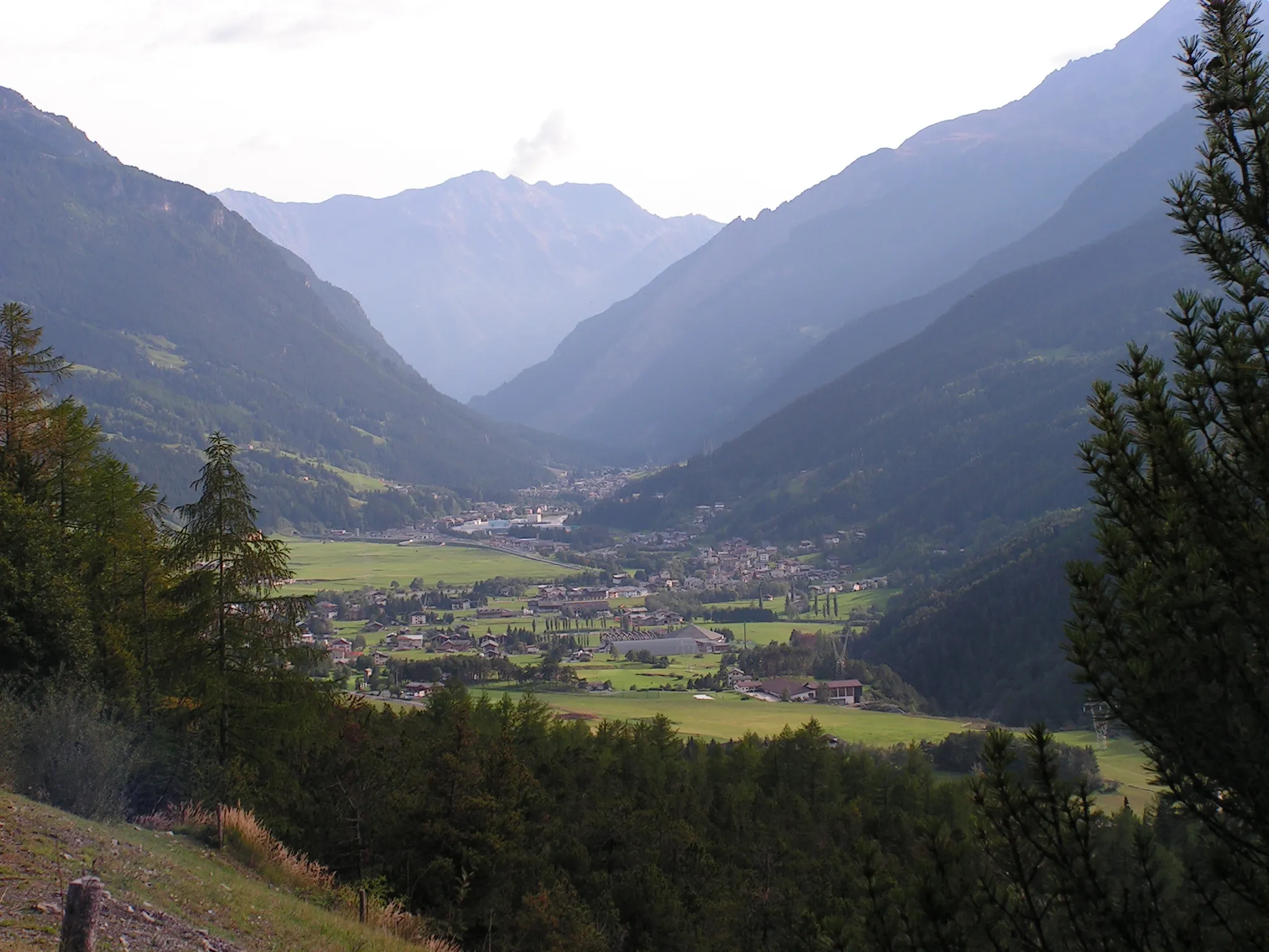
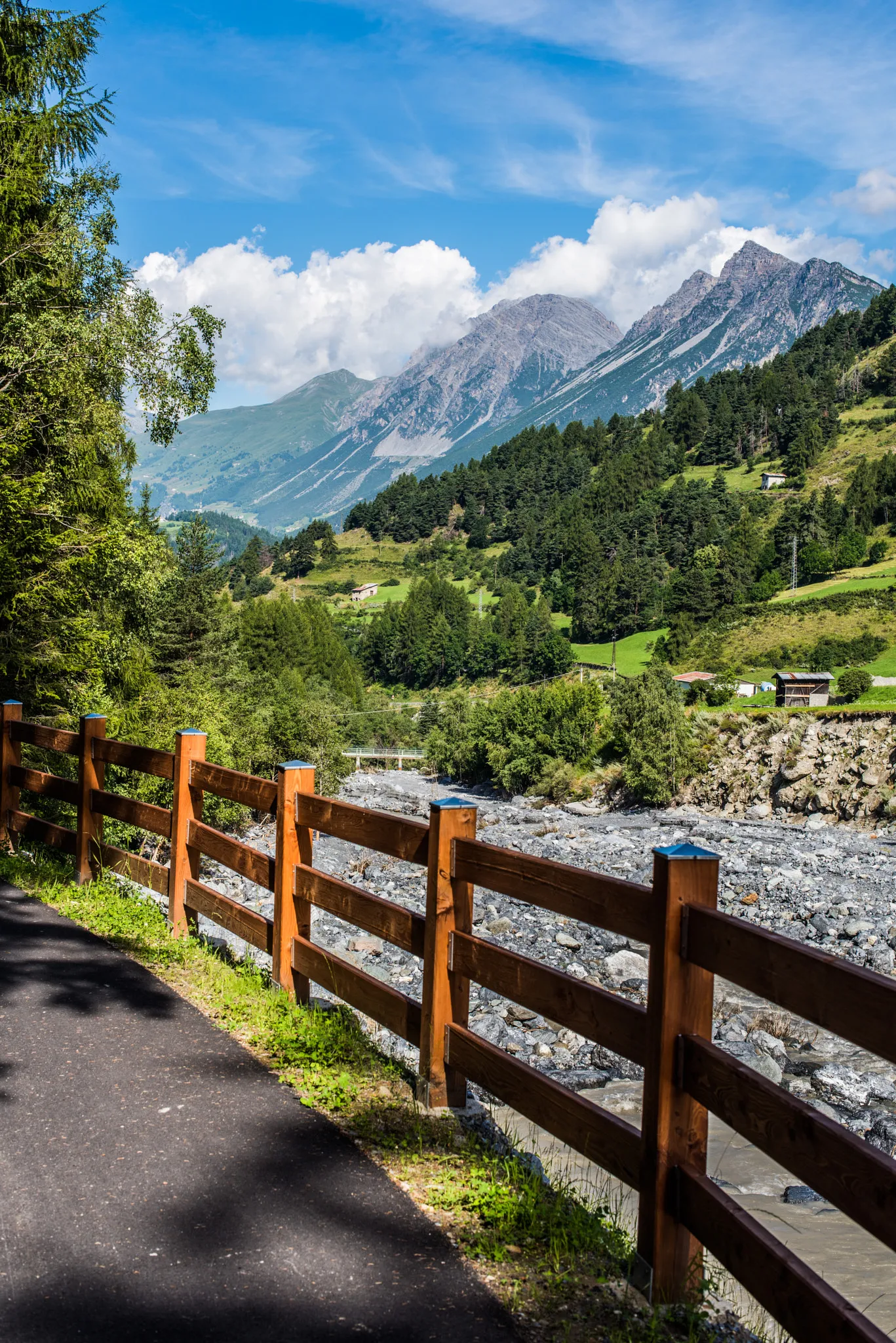
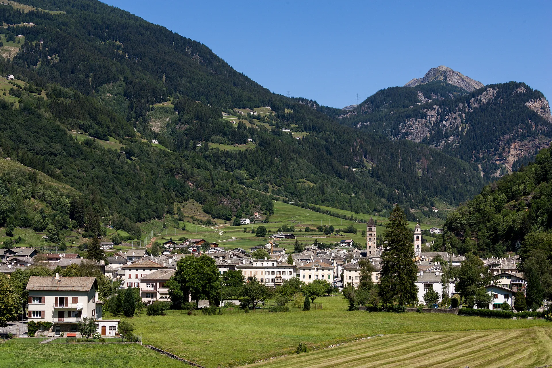
SemogoHamletSemogo is a charming village located 25 kilometers along the route. Take a break here and explore its traditional architecture and local cuisine.
50 km
50 km
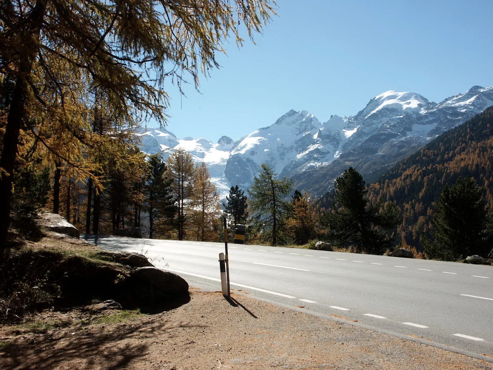
Umbrailpass - Giogo di Santa Maria2501 mMountain PassUmbrailpass - Giogo di Santa Maria is a challenging climb situated at the 50-kilometer mark. It is one of the highest paved mountain passes in Europe and offers breathtaking views.
51 km
51 km
Küche Schweizer Armee 1914/18Castle RuinsKüche Schweizer Armee 1914/18 is an interesting historical site located at the 51-kilometer mark. It was used as a military kitchen during the World War I by the Swiss Army.
99 km
99 km
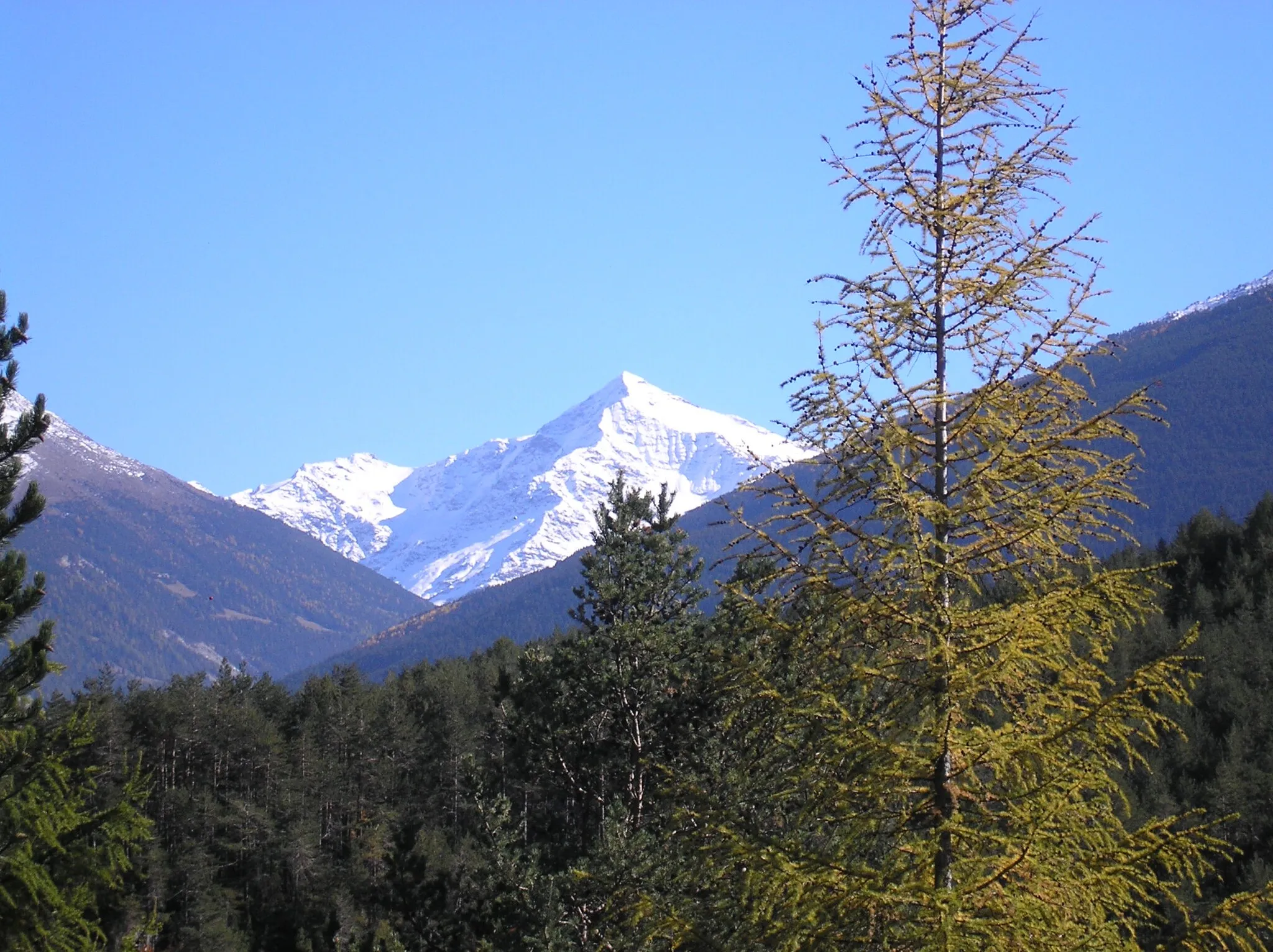
Foscagno Pass2291 mMountain PassFoscagno Pass is a scenic mountain pass located at a distance of 99 kilometers. It connects the valleys of Livigno and Valdidentro, offering stunning views of the surrounding landscapes.
113 km
113 km
LivignoAttractionLivigno is the starting and ending point of this cycling route. Known as The Little Tibet, Livigno is a popular tourist destination that offers a wide range of outdoor activities and breathtaking scenery.
113 km
113 km
Finish: Livigno Village centerLivigno: Cycling paradise in the heart of the Alps
Cycling routes nearby: