Via de Fiora
A road cycling route starting from Agliana
Explore the beautiful countryside of Toscana on this challenging road cycling route.
Map
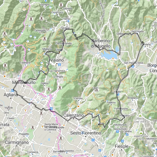
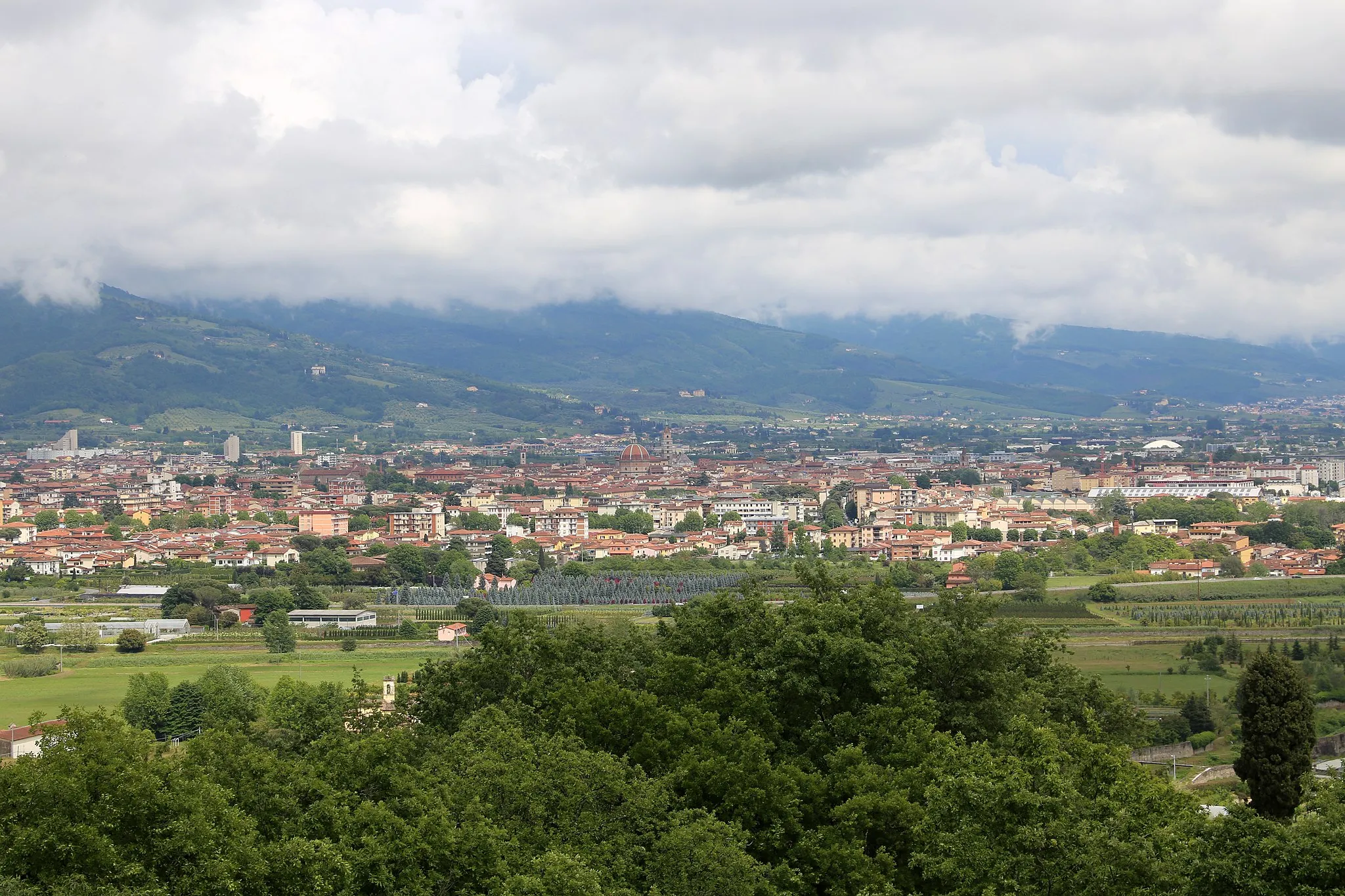
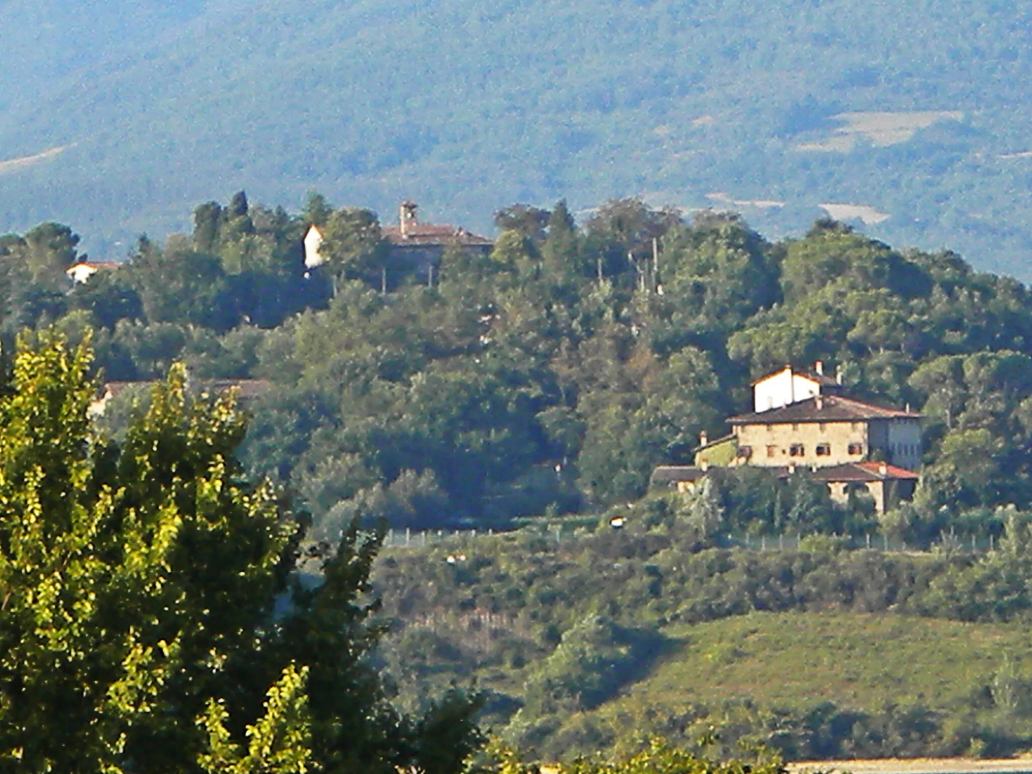
Via de Fiora is a 115km round-trip road cycling route that starts near Agliana, Toscana. This route offers stunning views of Toscana's picturesque countryside and takes you through charming villages and iconic landmarks. It is a challenging ride with 2230m of ascent, perfect for well-trained amateur cyclists looking for a test of endurance. The route includes highlights such as Montemurlo, Passo della Collina, Il Santo, and Lago di Bilancino, providing opportunities to soak in the natural beauty and culture of the region.
road
115 km
2230 m
Tough
Route profile
Highlights on the route
0 km
0 km
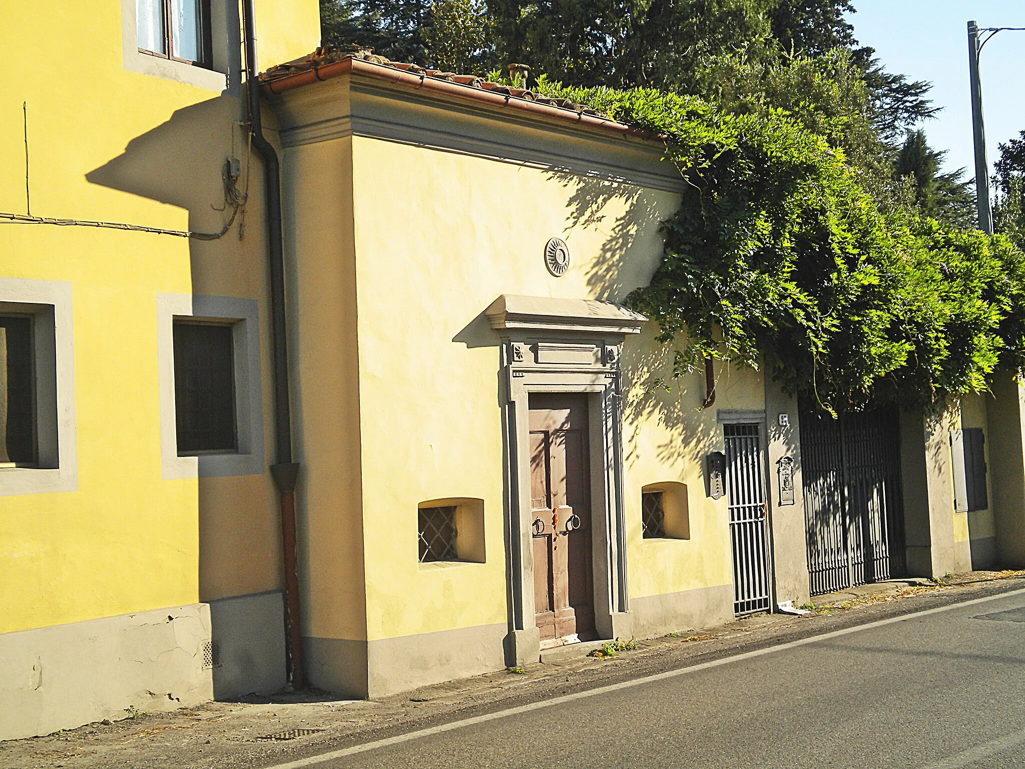
Start: Stazione Village centerAgliana: Quiet routes and scenic landscapes for road and gravel cycling
Agliana in Toscana, Italy offers a pleasant cycling experience with its flat to rolling terrains and well-paved roads. Both road and gravel cyclists can enjoy the scenic landscapes and quiet routes that this locality has to offer. Agliana is also known for its proximity to Monte Serra, a famous climb that attracts many cyclists. With its cyclist-friendly environment and scenic routes, Agliana receives a rank of 4 from a cyclist's perspective.3 km
3 km
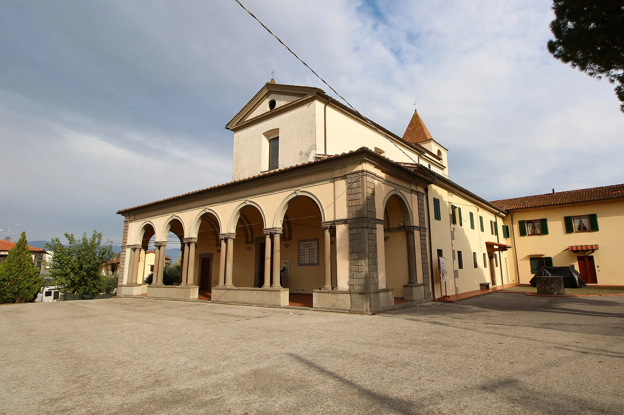
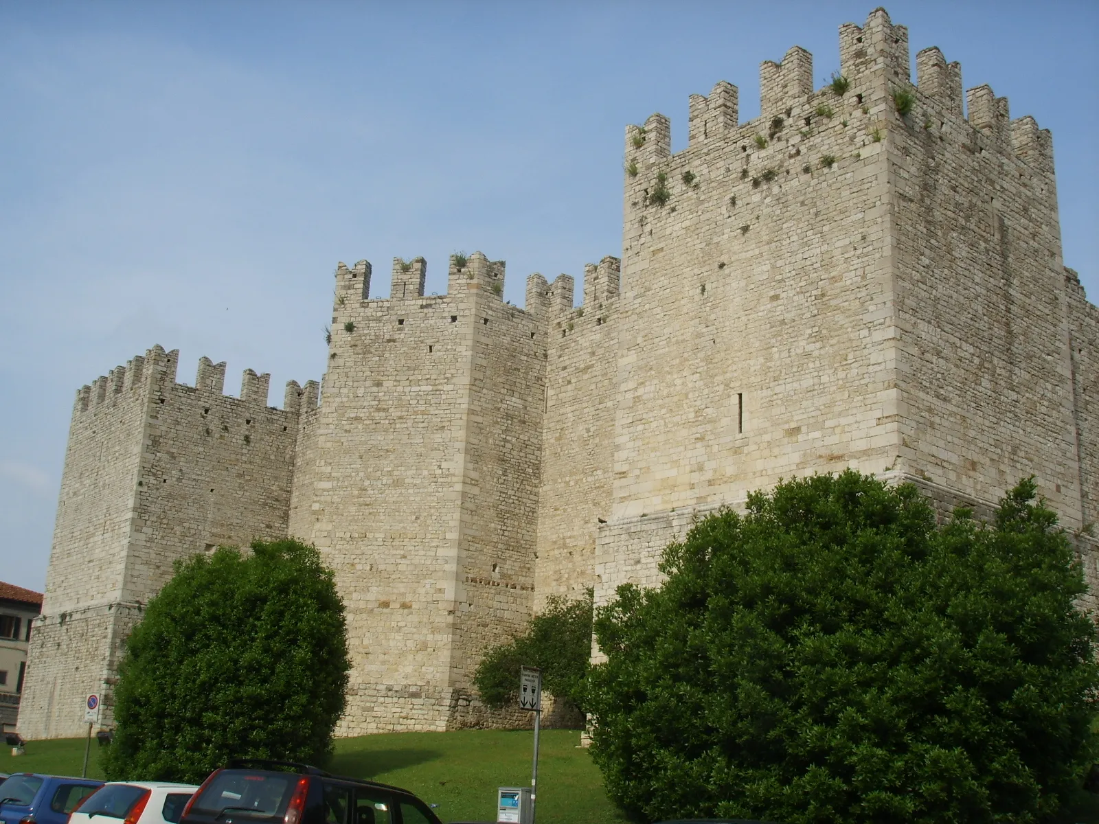
MontemurloTownMontemurlo is a historic village known for its medieval castle. Stop by to explore its charming streets and enjoy panoramic views.
13 km
13 km
Passo della Collina448 mMountain PassPasso della Collina offers a challenging climb along winding roads with beautiful views of the surrounding landscape.
21 km
21 km
Il Santo360 mPeakIl Santo is a small church nestled in the countryside, offering a peaceful and serene atmosphere.
27 km
27 km
La DoganaRuinsLa Dogana is a traditional Tuscan restaurant where you can indulge in delicious local cuisine.
42 km
42 km
Barberino di MugelloTownBarberino di Mugello is a charming town famous for its stunning Lake Bilancino. Take a break and enjoy the scenic views.
45 km
45 km
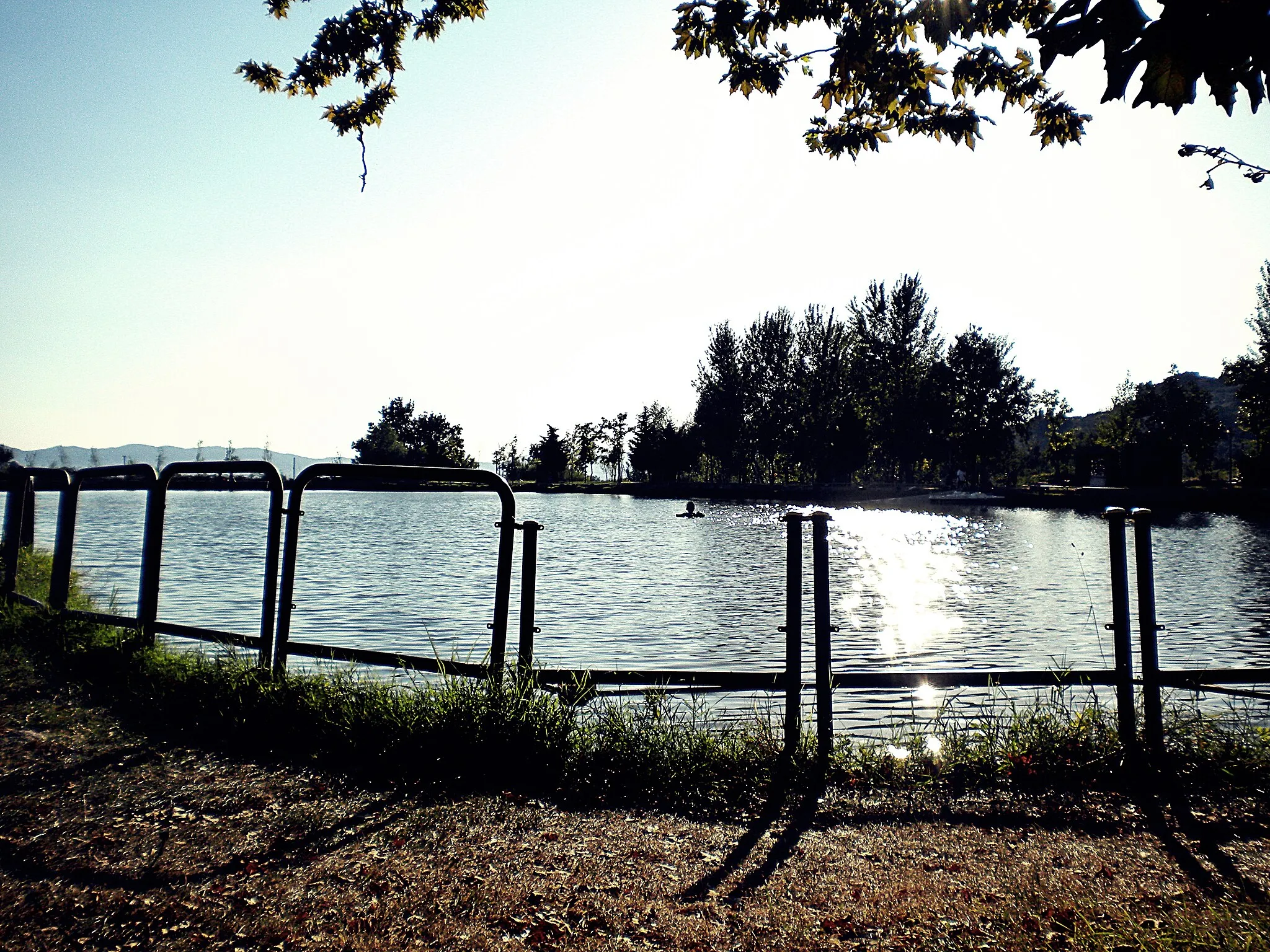
Lago di BilancinoLakeLago di Bilancino is a picturesque lake surrounded by hills and forests. It's a great spot for a picnic or a refreshing swim.
65 km
65 km
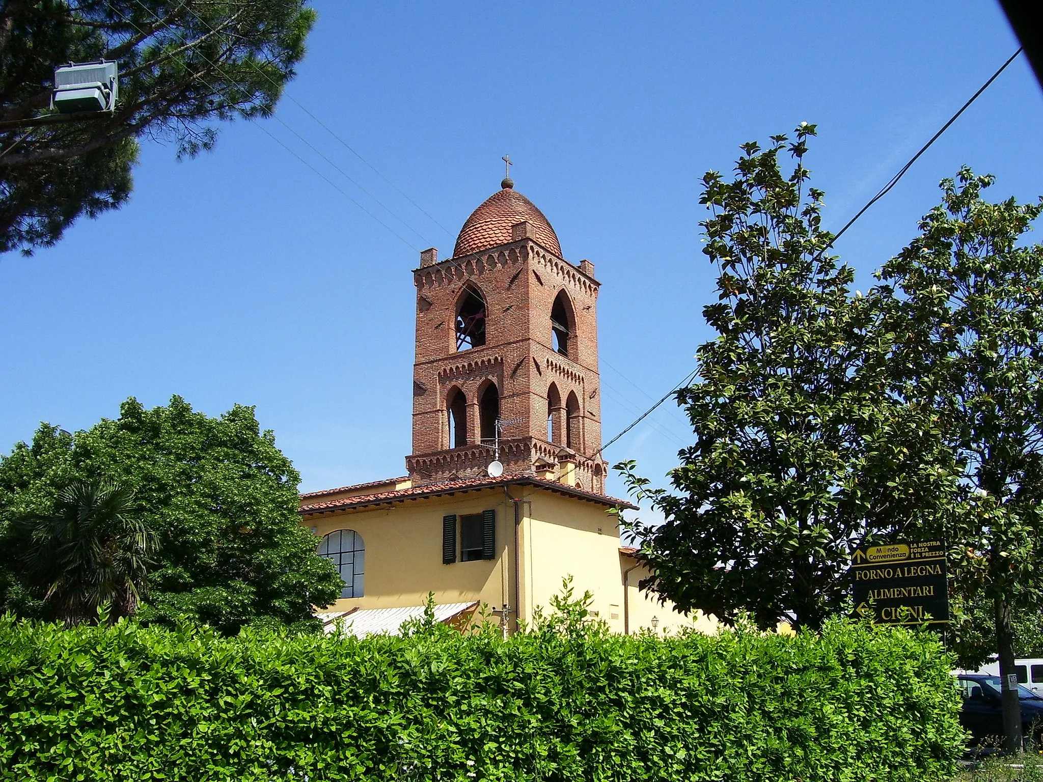
San Piero a SieveVillageSan Piero a Sieve is a medieval village known for its historic buildings and charming atmosphere.
67 km
67 km
Poggio Bonriposo294 mPeakPoggio Bonriposo is a hilltop settlement with panoramic views of the surrounding countryside.
79 km
79 km
PratolinoVillagePratolino is home to Villa Demidoff, a historic villa with beautiful gardens and sculptures.
90 km
90 km
Poggio Casaccia921 mViewpointPoggio Casaccia is a hilltop town offering spectacular views of the surrounding landscapes.
97 km
97 km
CalenzanoTownCalenzano is a picturesque town known for its Renaissance architecture and art.
101 km
101 km
Poggio Castiglione397 mPeakPoggio Castiglione is a small village with a beautiful church and views of the Toscana countryside.
115 km
115 km
StazioneVillageStazione is a railway station that marks the end point of the route. It is a convenient place to rest and catch a train back to Agliana.
115 km
115 km
Finish: Stazione Village centerAgliana: Quiet routes and scenic landscapes for road and gravel cycling
Cycling routes from Agliana:
Circuit of the Medici Villas Tuscan Scenic Journey Climbing the Hills of Agliana Scenic Gravel Ride from Agliana to Montelupo Fiorentino Agliana Gravel Loop via Montale and Vaiano Challenging Mountain Loop from Agliana Gravel Adventure to Florence Gravel Tour through Prato Chianti Wine Country Mountainous Gravel Adventure from Montale to Agliana Via de Fiora
Cycling routes nearby: