Relax and immerse yourself in the beauty of Antella's countryside.
Cycling routes from Antella
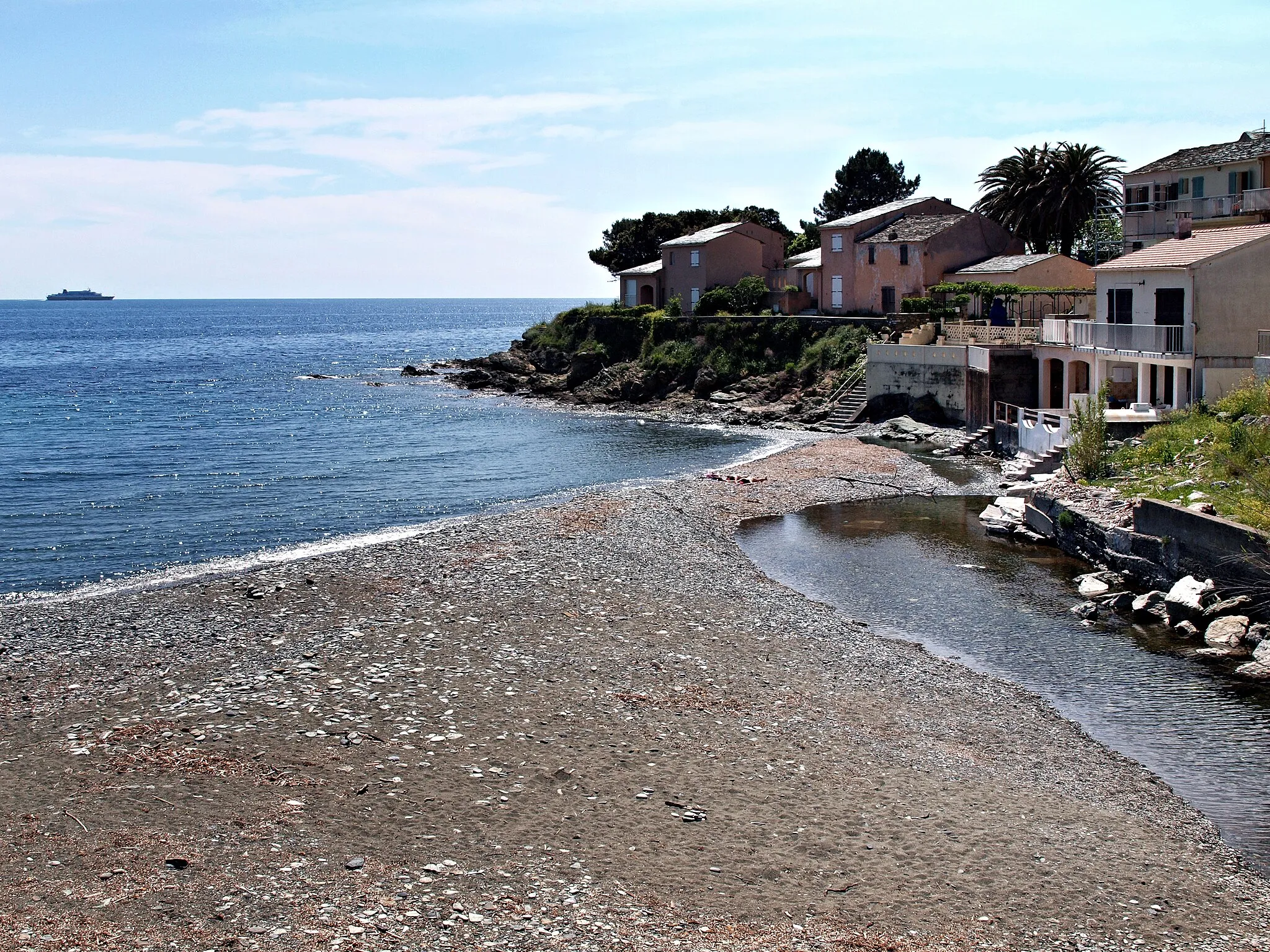
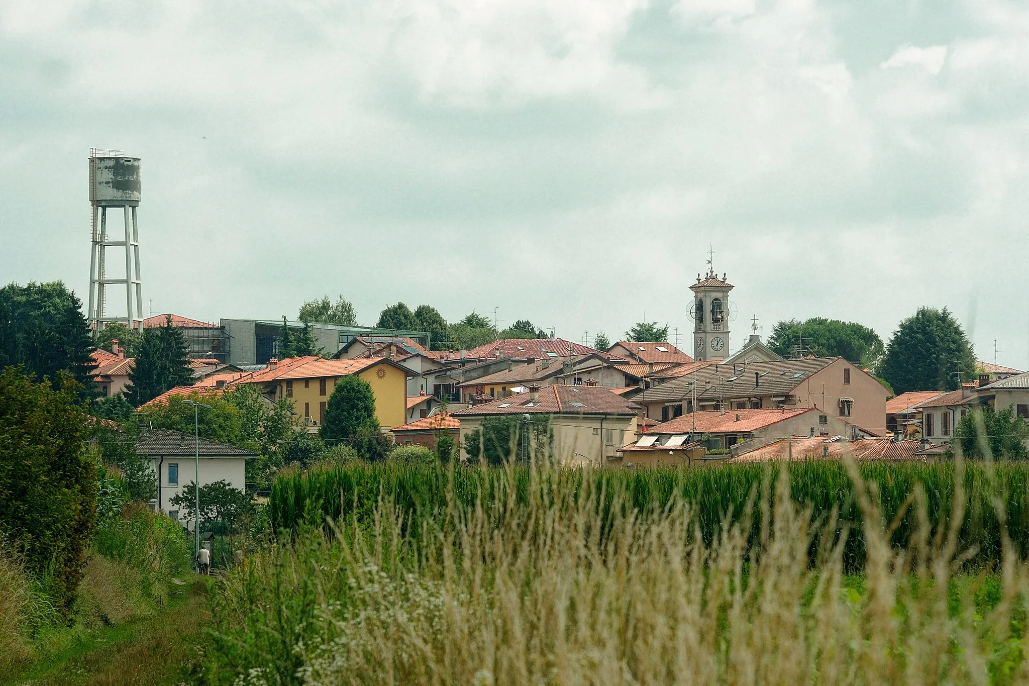
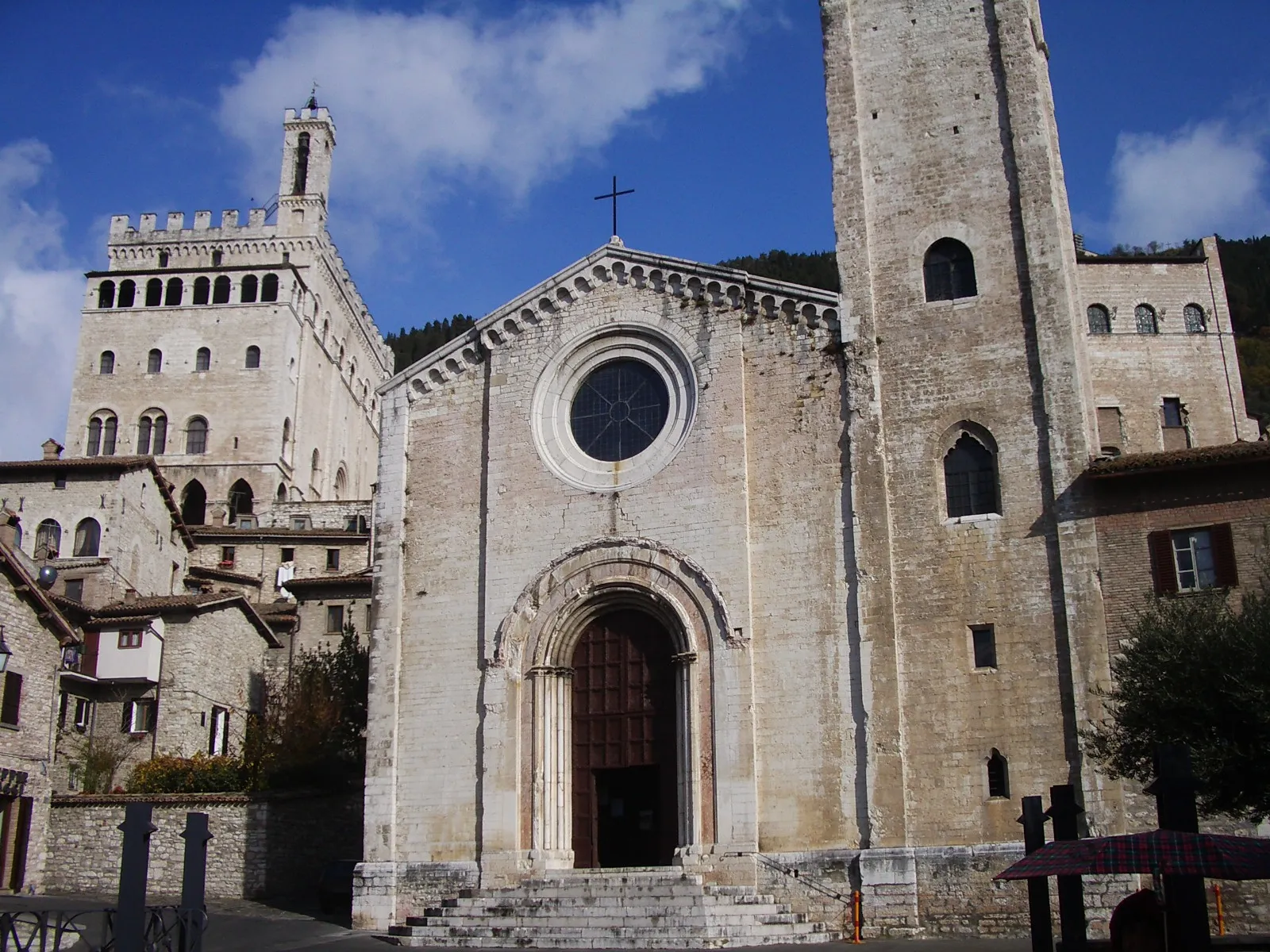
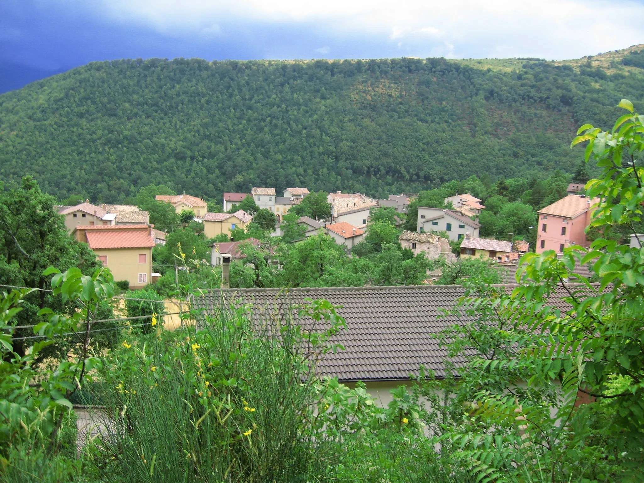
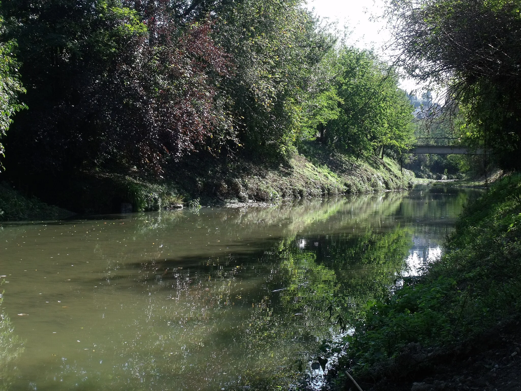
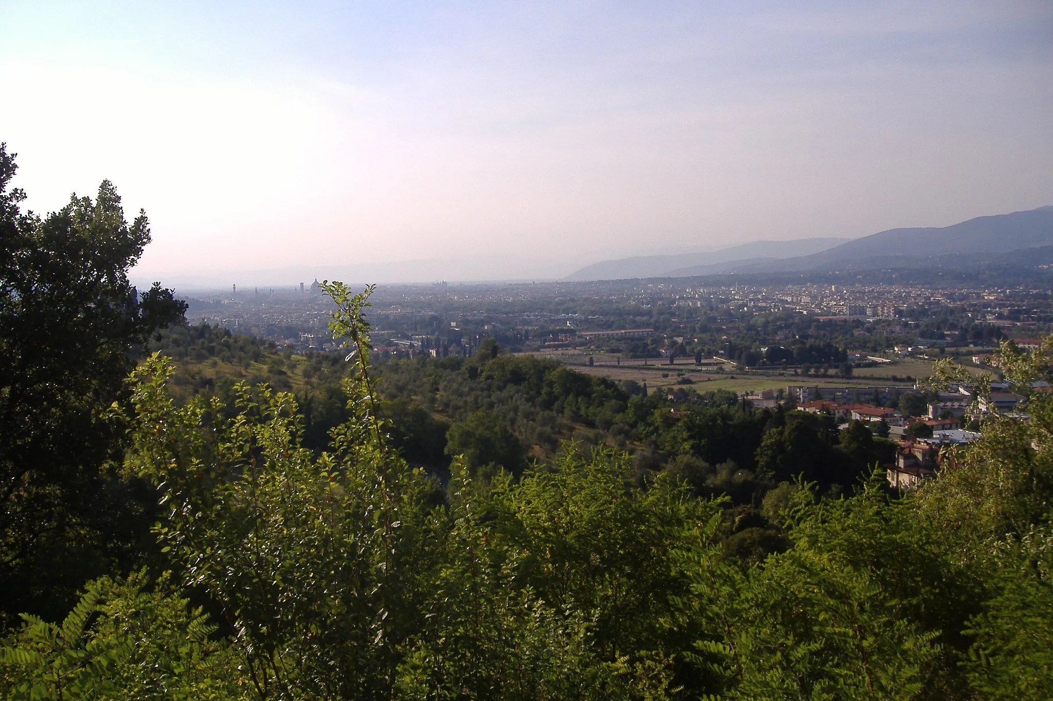
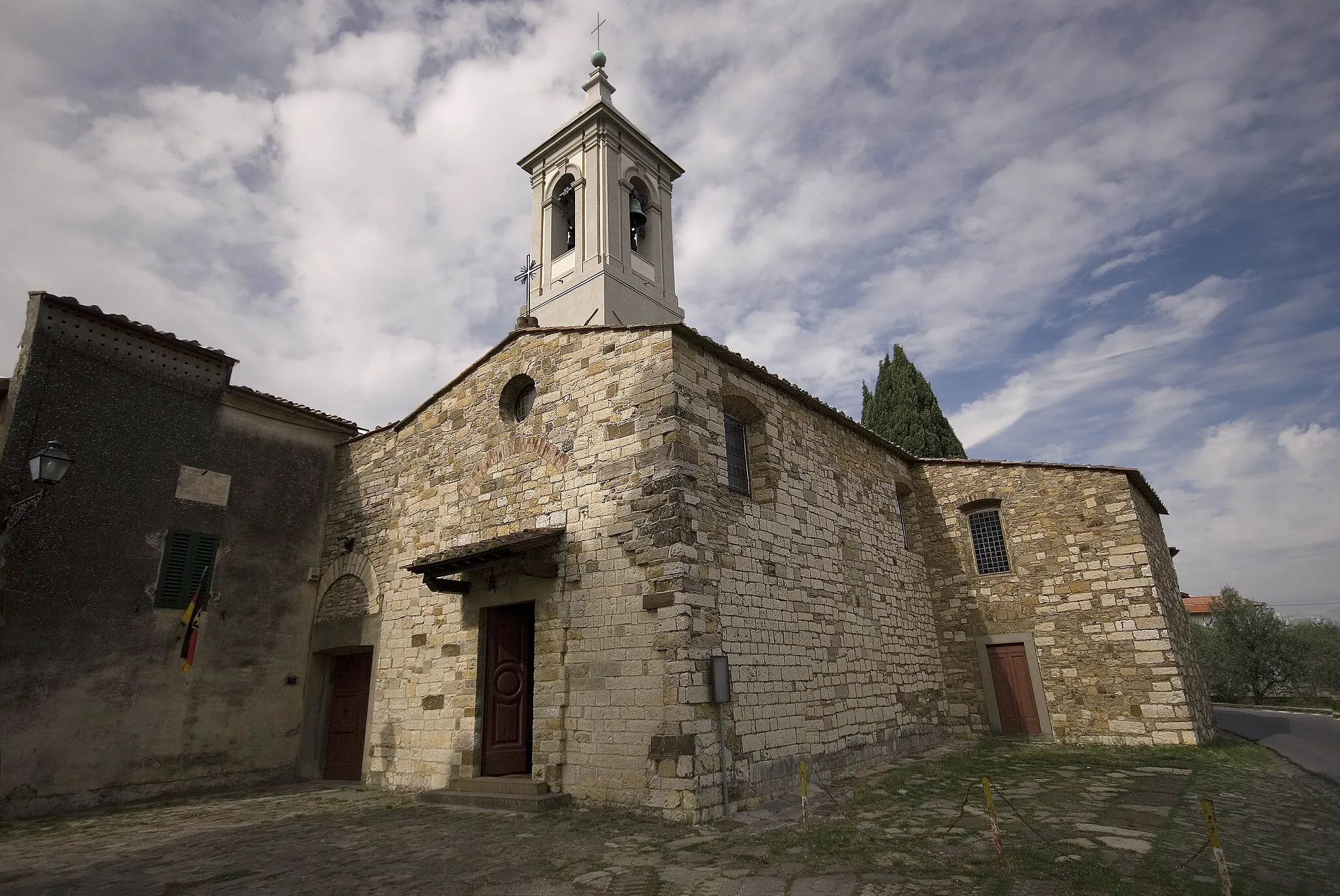
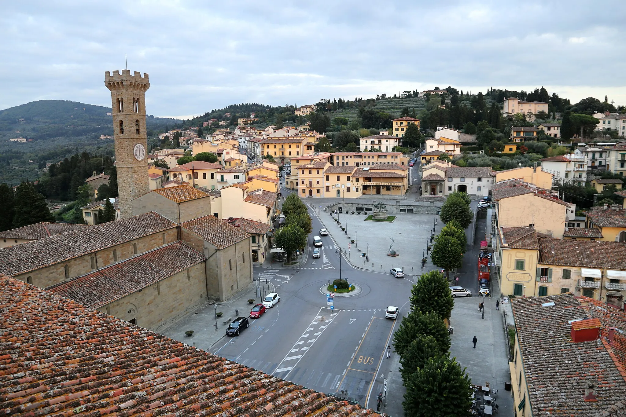
Antella is a locality located in Toscana, Italy. As a cyclist, this area offers a moderately suitable environment for cycling. The region features picturesque landscapes and quiet country roads that are perfect for leisurely rides. However, Antella does not have any famous or well-known cycling spots or climbs nearby. It is more suited for casual cyclists looking to explore the beautiful Italian countryside at a relaxed pace.

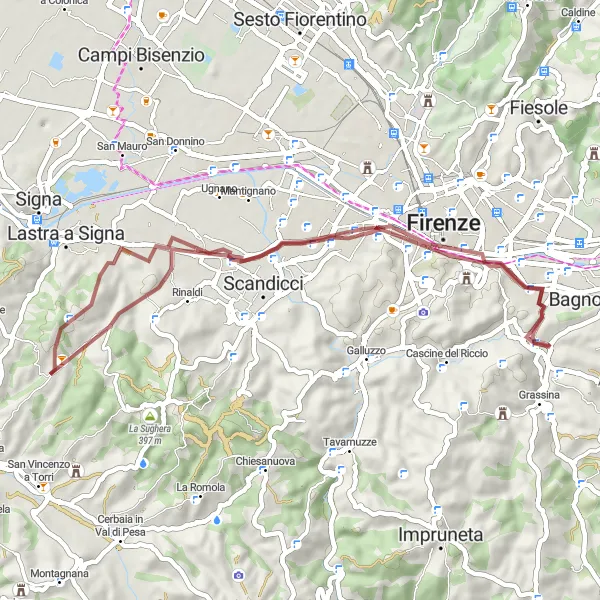
Explore the peaceful countryside on this 26-kilometer gravel route.
Immerse yourself in the tranquility of Tuscany's countryside along this 26-kilometer gravel route. With gentle ascents and serene surroundings, this route is perfect for cyclists of all skill levels seeking a peaceful ride. Exploring charming villages and enjoying the picturesque scenery make this short adventure an ideal break from city life. This route offers a taste of rural Tuscany and the opportunity to discover hidden gems along the way.
Antella - Lucardo Loop
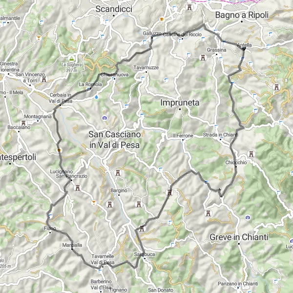
Cycle through beautiful Tuscan countryside and discover the hidden gem of Lucardo
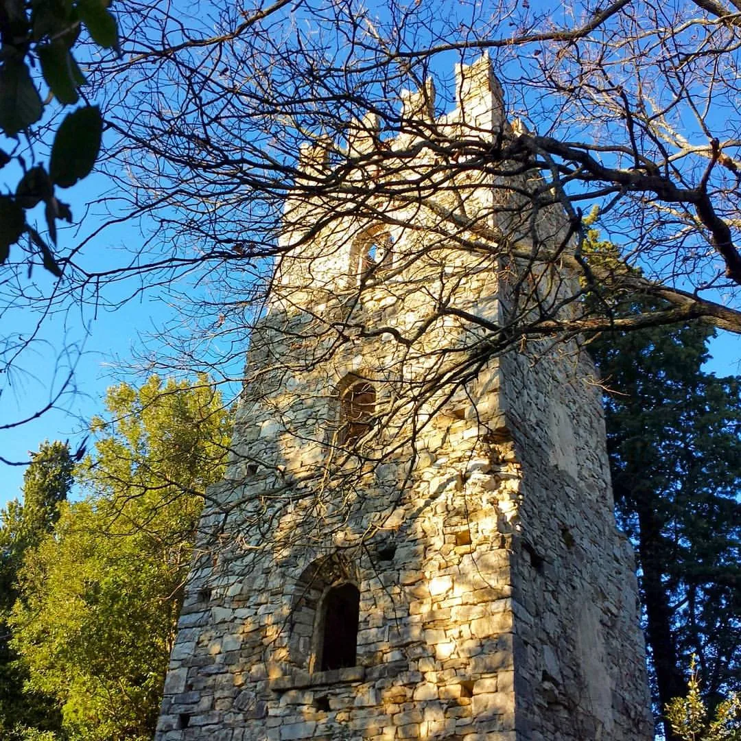
Enjoy a challenging road cycling route from Antella to Lucardo, covering a total distance of 76 km with an ascent of 1470 meters. Highlights along the way include Poggio al Torrino, Chiocchio, and Poggio delle Monache.
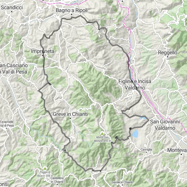
Embark on a demanding road cycling loop through picturesque Tuscan towns and gorgeous landscapes
Challenge yourself with this 104 km loop, featuring an ascent of 1952 meters, and immerse yourself in the beauty of Tuscan countryside. Highlights include Ponte a Ema, Figline e Incisa Valdarno, Poggio d'Albola, and Castello di Gabbiano.
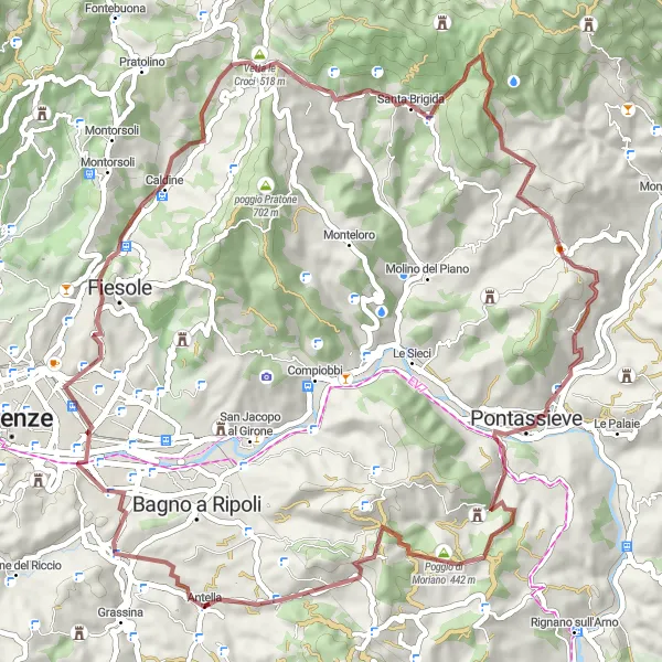
Discover the scenic countryside and picturesque villages on this epic gravel adventure near Antella
Embark on this challenging gravel route near Antella to explore the beautiful Toscana region. This route offers stunning views, challenging climbs, and a taste of Italian countryside life. With a total ascent of 1,534 meters and a distance of 64 kilometers, this adventure is perfect for experienced gravel riders seeking a thrilling ride.
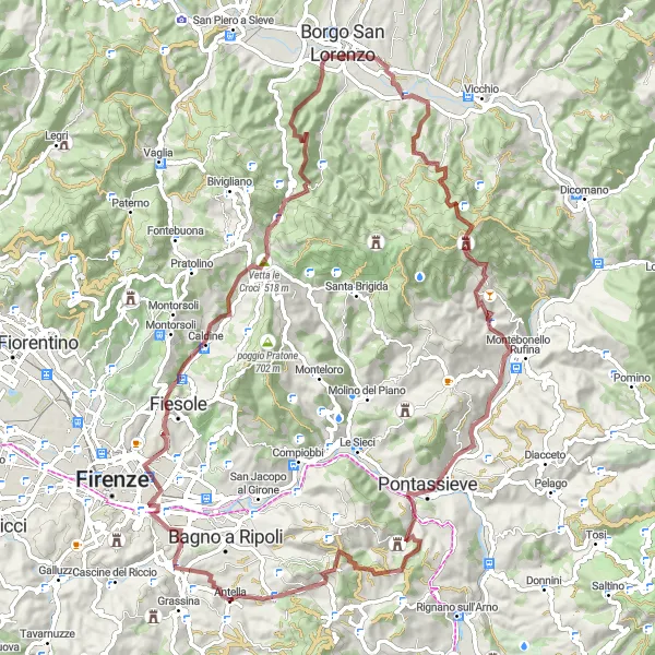
An adventurous gravel route with stunning panoramic views.
Embark on an exciting gravel adventure along this 88-kilometer route, which takes you through the Tuscany countryside. With an ascent of 2,162 meters, this challenging route is perfect for adventurous cyclists who are looking for off-road thrills. The route offers breathtaking panoramic views and takes you through picturesque villages and past historical landmarks. With minimal traffic and diverse terrain, this gravel route is a must for cyclists seeking new challenges.
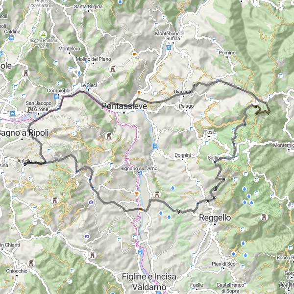
An epic ride ascending the Passo della Consuma.
This road route takes you on an exhilarating journey through stunning landscapes and challenging climbs. Ascending the Passo della Consuma, at an altitude of 1,054 meters, offers breathtaking panoramic views of Tuscany. The route is known for its well-maintained roads and minimal traffic, making it perfect for a long, challenging ride. With an ascent of 1,833 meters and a distance of 79 kilometers, this route is suitable for experienced cyclists looking for a tough challenge.
Tranquil Trails
Discover the tranquility of Tuscany on this 46-kilometer gravel route.
Escape the hustle and bustle of the city and immerse yourself in the tranquil beauty of Tuscany along this 46-kilometer gravel route. With gentle ascents and well-maintained paths, this route is suitable for cyclists of all levels. Explore the iconic landmarks and idyllic landscapes that make Tuscany famous while enjoying the refreshing countryside air. This route offers a mix of natural beauty, historical sites, and charming villages, providing both a physical and cultural experience for cyclists.
Antella - Monte Cuccioli Circuit
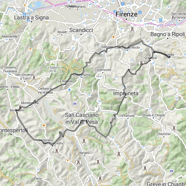
Explore the hills around Antella and experience the breathtaking views from Monte Cuccioli
Embark on a challenging road cycling adventure through the scenic landscapes near Antella. This 66 km route offers an ascent of 1157 meters, taking you to incredible highlights such as Monte di Meccoli, Lucignano, and Poggio delle Monache.
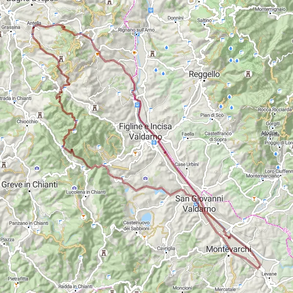
Embark on an exciting gravel adventure and uncover the hidden gem of San Giovanni Valdarno
Immerse yourself in the world of gravel cycling with this 90 km route featuring an ascent of 1449 meters. Highlights include Levanella, San Giovanni Valdarno, Poggio Coio, and a stunning Panorama view.
The Tuscan Adventure
A challenging road route with stunning vistas and historical landmarks.
Embark on a rewarding cycling adventure along this 78-kilometer road route, which takes you through picturesque landscapes and past historical landmarks. With an ascent of 1,237 meters and breathtaking views, this route is perfect for experienced cyclists seeking a challenging ride. Discover the rich history, exquisite architecture, and natural beauty that make Tuscany a world-renowned destination. From medieval bridges to picturesque villages, this route is a feast for both the senses and the soul.
Cycling routes nearby:

Nearby regions: