The Consuma Challenge
A road cycling route starting from Antella
An epic ride ascending the Passo della Consuma.
Map
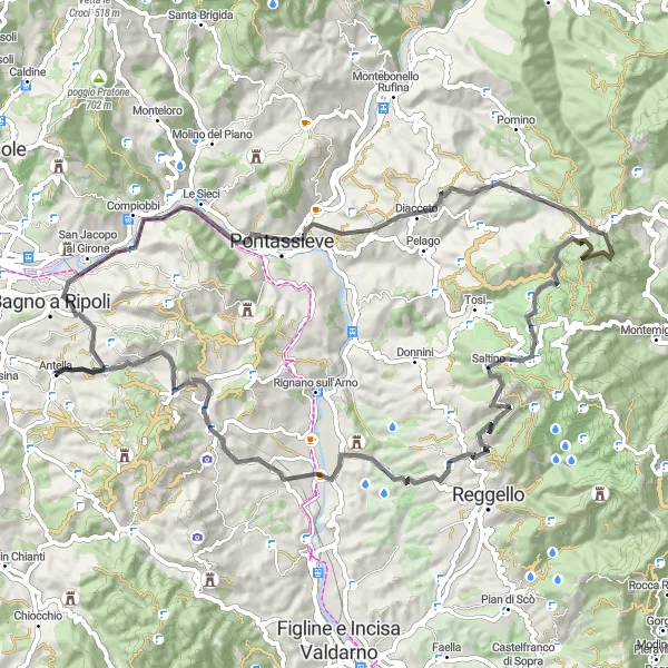
This road route takes you on an exhilarating journey through stunning landscapes and challenging climbs. Ascending the Passo della Consuma, at an altitude of 1,054 meters, offers breathtaking panoramic views of Tuscany. The route is known for its well-maintained roads and minimal traffic, making it perfect for a long, challenging ride. With an ascent of 1,833 meters and a distance of 79 kilometers, this route is suitable for experienced cyclists looking for a tough challenge.
road
79 km
1833 m
Tough
Route profile
Highlights on the route
0 km
0 km
Start: Antella Village centerAntella: Relax and immerse yourself in the beauty of Antella's countryside.
Antella is a locality located in Toscana, Italy. As a cyclist, this area offers a moderately suitable environment for cycling. The region features picturesque landscapes and quiet country roads that are perfect for leisurely rides. However, Antella does not have any famous or well-known cycling spots or climbs nearby. It is more suited for casual cyclists looking to explore the beautiful Italian countryside at a relaxed pace.5 km
5 km
BaroncelliViewpointThe beautiful town of Baroncelli, with its rustic charm and traditional architecture, is a must-visit along the route.
9 km
9 km
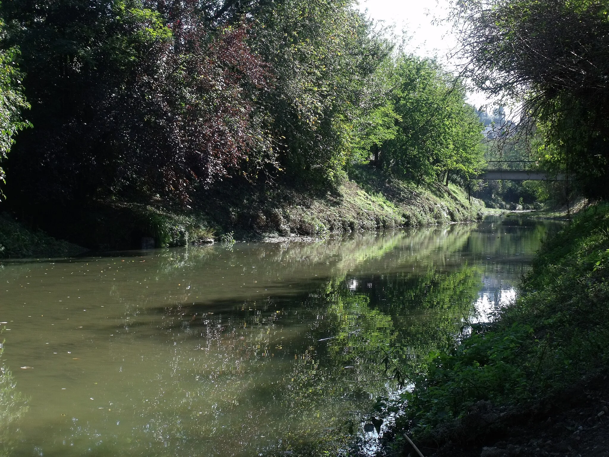
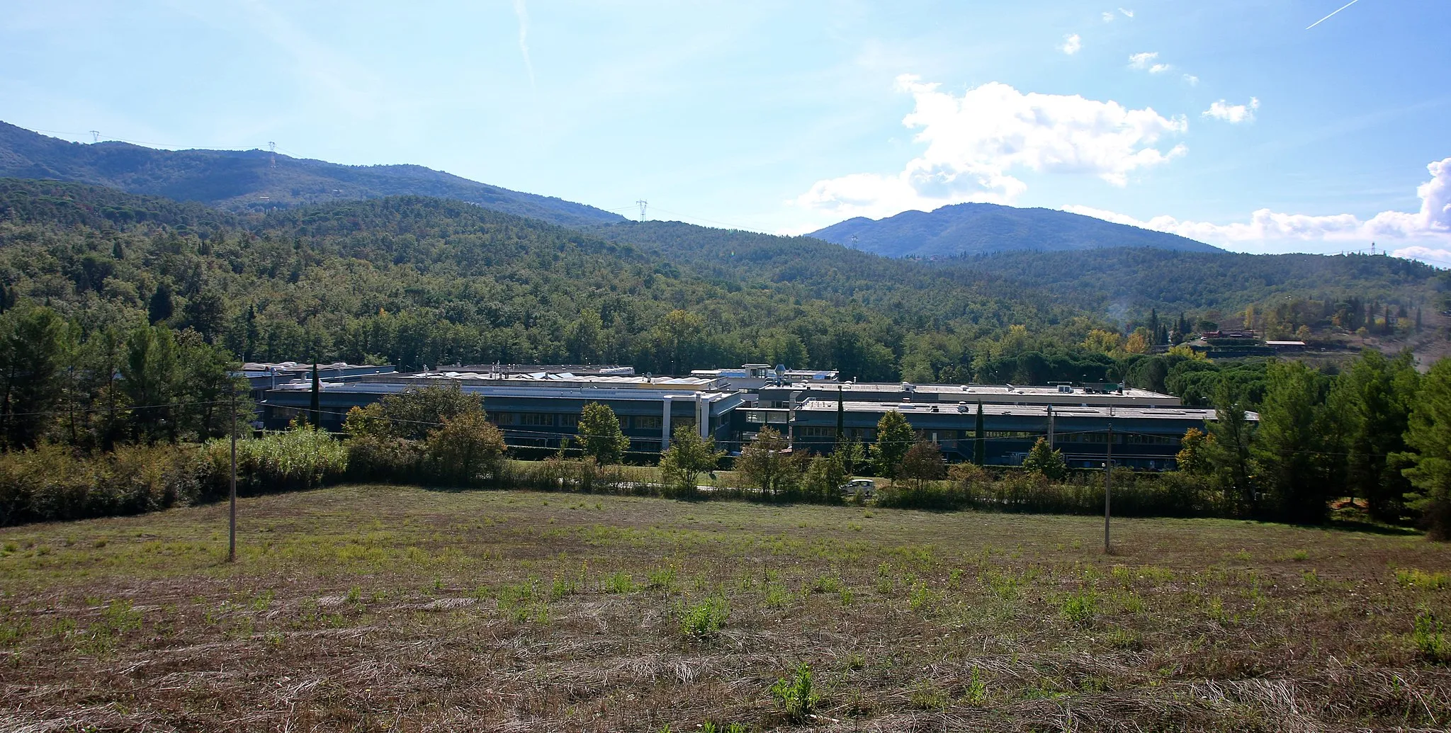
VallinaHamletVallina, an enchanting village nestled in the Tuscan countryside, offers a tranquil escape and picturesque views.
18 km
18 km
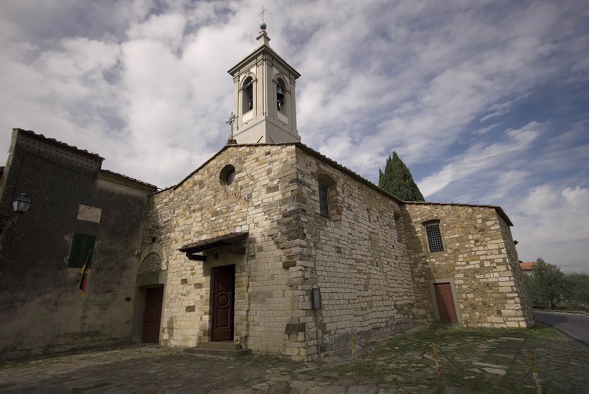
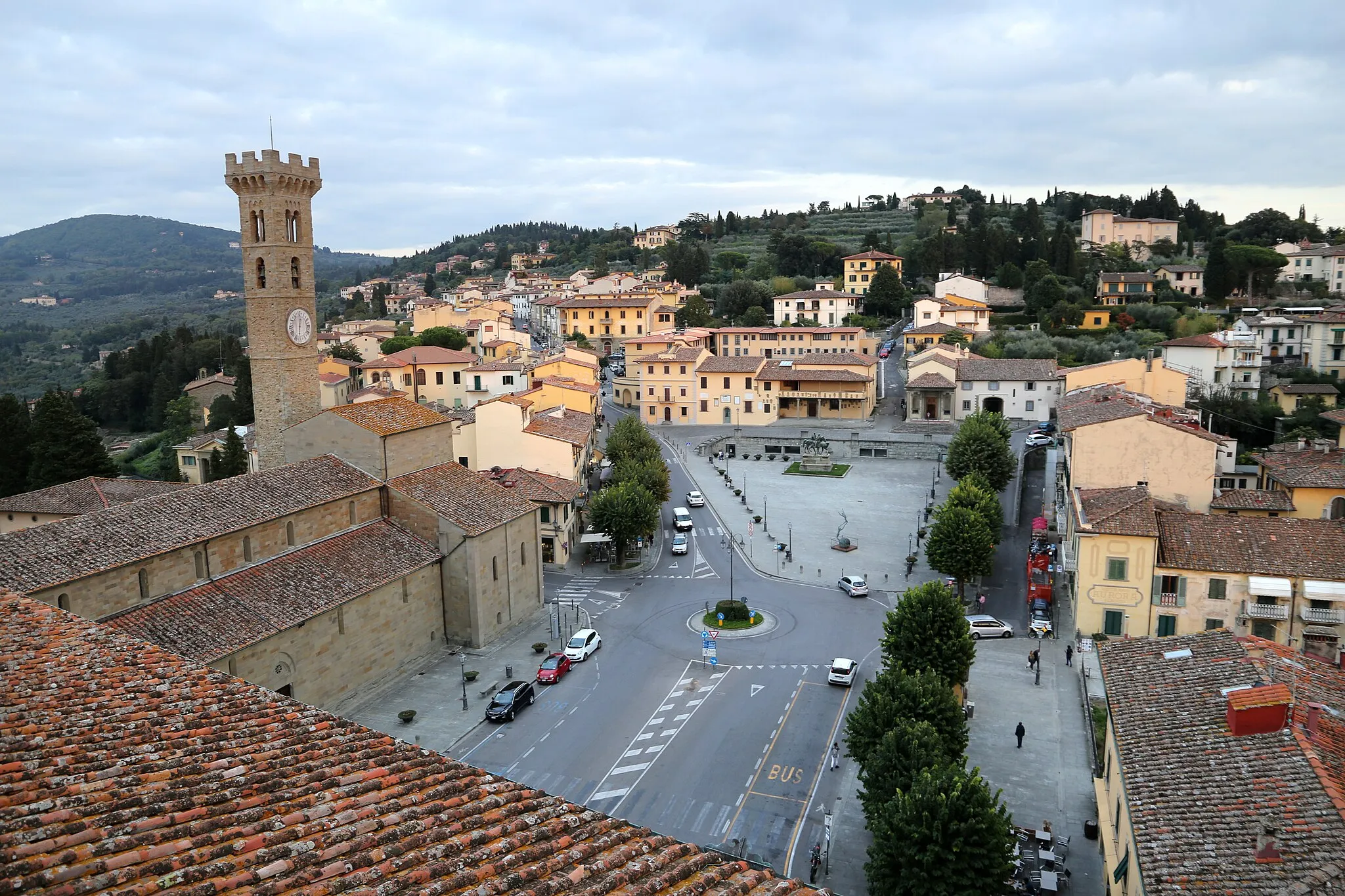
San FrancescoVillageSan Francesco, a small hamlet renowned for its historic church and peaceful ambiance, is worth a stop to soak in the serene beauty.
33 km
33 km
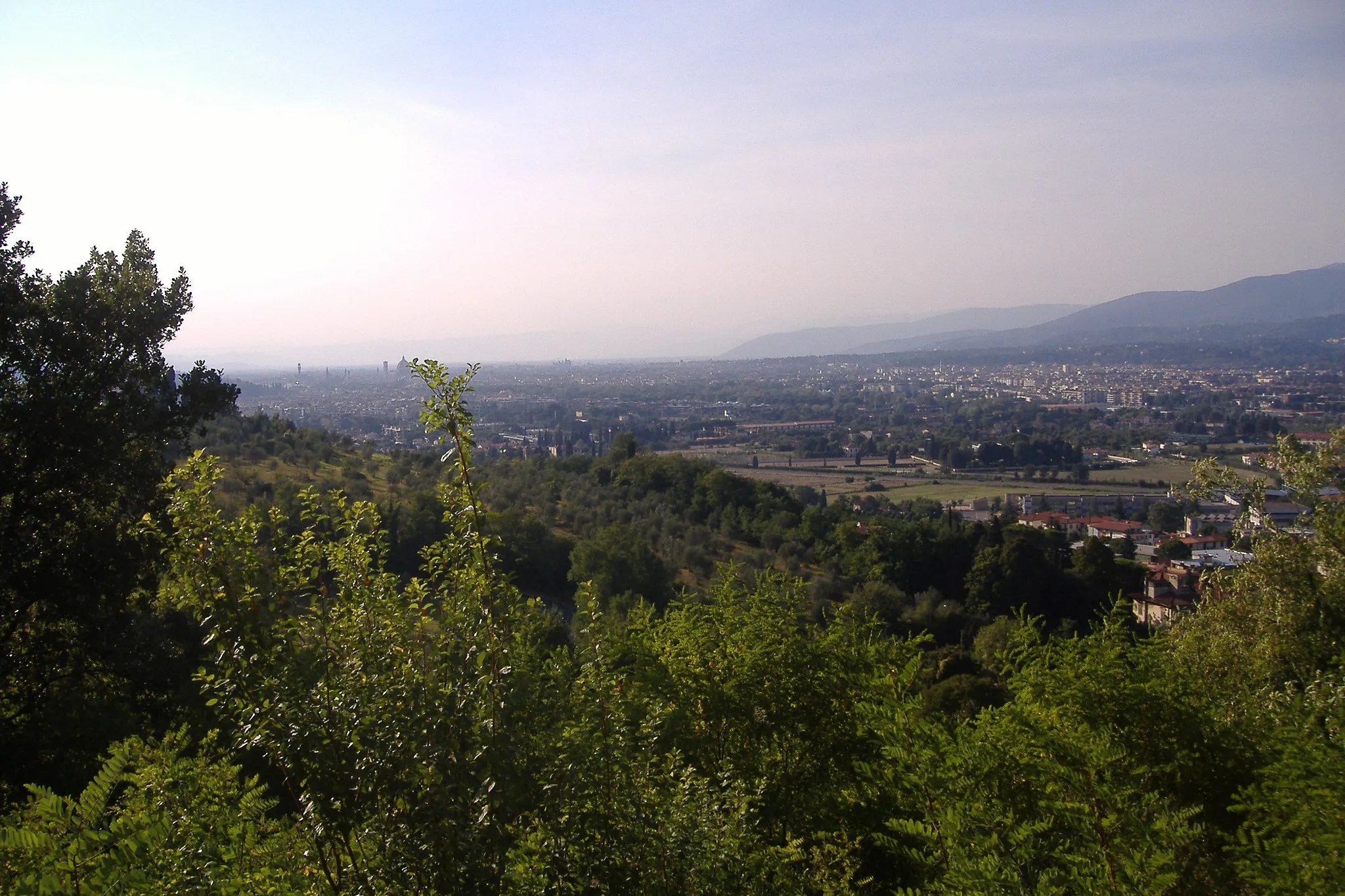
Passo della Consuma1055 mMountain PassAt 1,053 meters above sea level, Passo della Consuma offers riders stunning vistas of rolling hills and picturesque countryside.
44 km
44 km
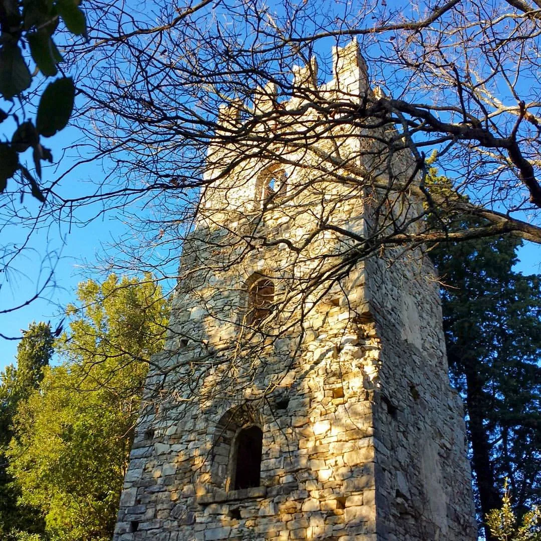
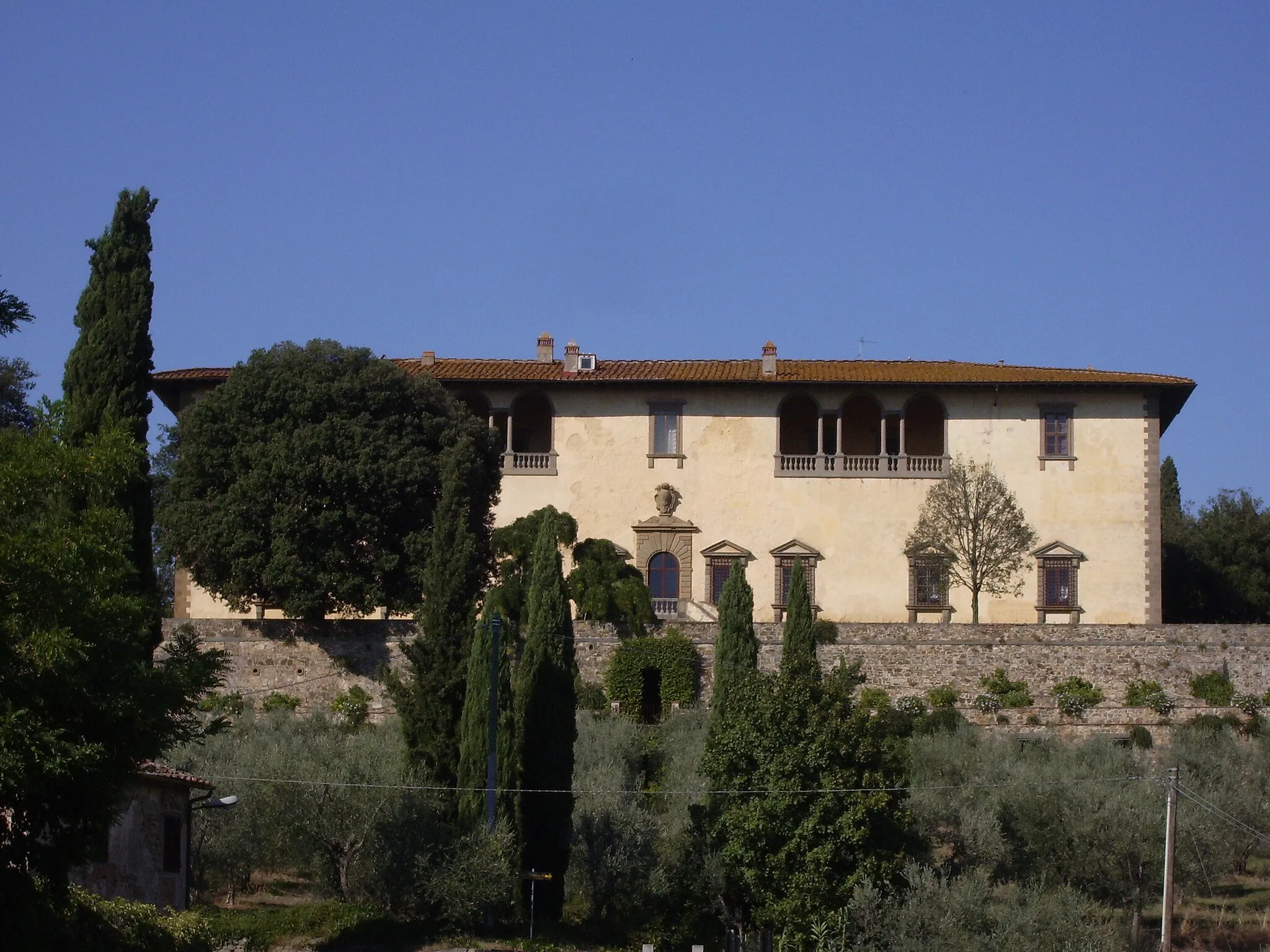
Il ParadisinoViewpointIl Paradisino, a beautifully preserved medieval castle, is a hidden gem nestled in the Tuscan hills.
69 km
69 km
TroghiHamletTroghi, a charming Italian town, welcomes cyclists with its vibrant local culture and warm hospitality.
70 km
70 km
Poggio Le Serre373 mPeakPoggio Le Serre, surrounded by sprawling vineyards and charming farmhouses, is a peaceful spot to take a break and enjoy the views.
79 km
79 km
AntellaVillageAntella, the starting and ending point of this route, offers cyclists all the necessary amenities, as well as beautiful architecture and pleasant surroundings.
79 km
79 km
Finish: Antella Village centerAntella: Relax and immerse yourself in the beauty of Antella's countryside.
Cycling routes nearby: