Chianti Valleys Expedition
A road cycling route starting from Faella
Embark on a challenging journey through the valleys and hilltop villages of Chianti.
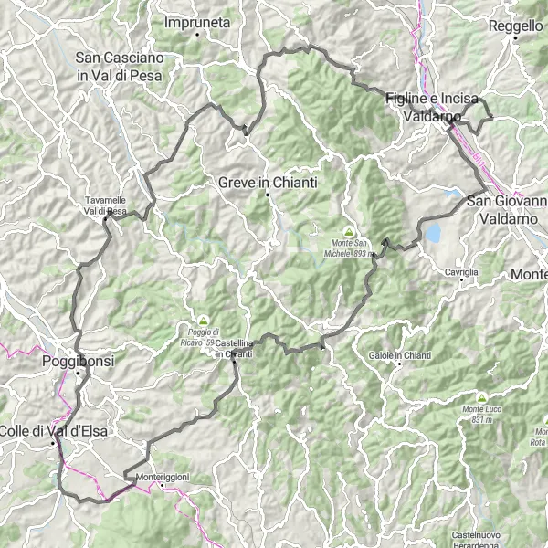
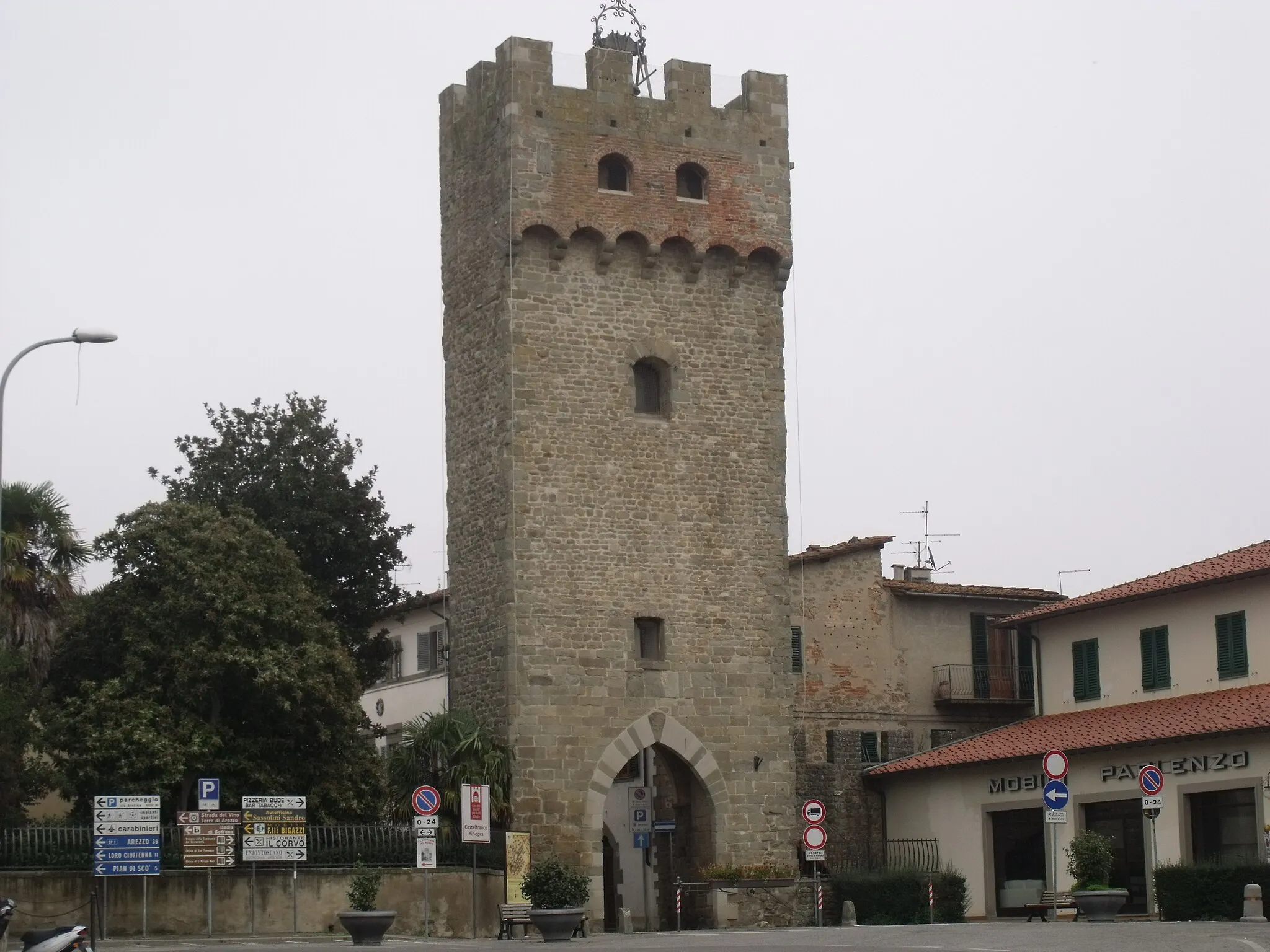
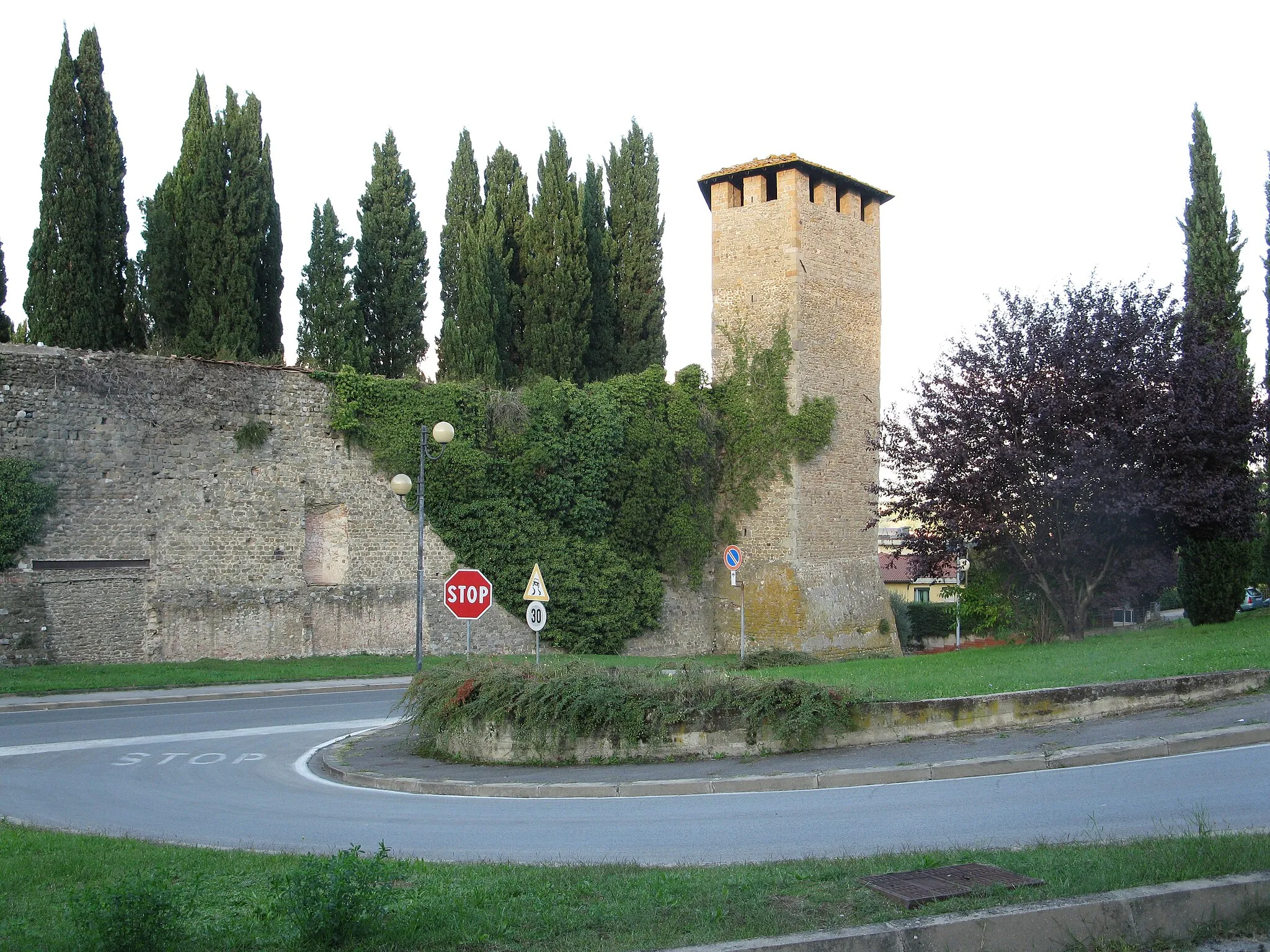
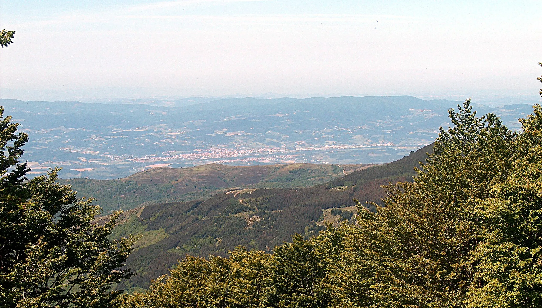
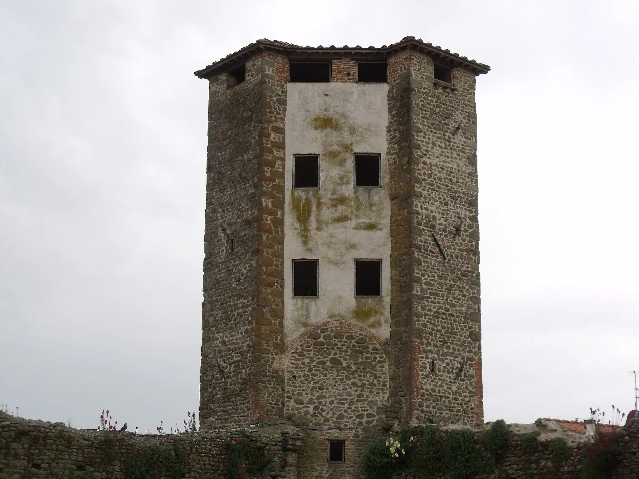
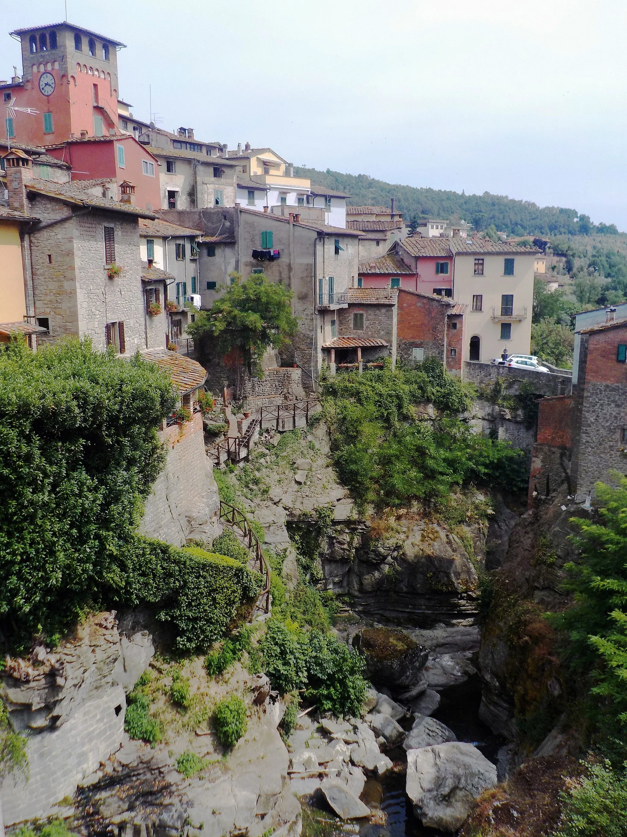
The Chianti Valleys Expedition is a 138-kilometer road route that takes you on a thrilling adventure through the valleys and hilltop villages of the Chianti region in Tuscany. With a total ascent of 2395 meters, this route provides a challenging and rewarding experience for cyclists. This route is designed for well-trained amateur cyclists, with a difficulty rating of 5. It involves significant climbs and descents, offering a demanding workout. The epicness factor of this route is a 4, thanks to its scenic landscapes and the exploration of multiple charming villages. Highlights along the Chianti Valleys Expedition include Pian di Colle, a picturesque area with vineyards and olive groves; Radda in Chianti, a medieval town known for its stunning views and ancient architecture; Vista su Monteriggioni, where you can enjoy breathtaking panoramas of the iconic walled village; and Figline e Incisa Valdarno, a town with rich history and fascinating cultural sites. Each highlight is scored between 4 and 5 based on their attractiveness and historical value. Overall, the Chianti Valleys Expedition offers a thrilling cycling experience, allowing you to discover the hidden gems of the Chianti region. With its challenging terrain, breathtaking views, and rich cultural heritage, this route is designed for adventure-seeking cyclists who crave an authentic Italian cycling experience.
Highlights on the route
Cycling routes from Faella:
Cycling routes nearby: