Colle San Romolo Gravel Route
A gravel cycling route starting from Lastra a Signa
Experience the challenging climb to Colle San Romolo
Map
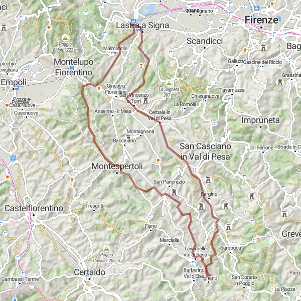
This route takes you on a thrilling gravel adventure, featuring a challenging ascent to Colle San Romolo. Enjoy the stunning scenery as you cycle through picturesque towns and historic landmarks. The route offers a mix of gravel trails and scenic roads, providing a memorable experience for gravel enthusiasts. With a total distance of 78km and an elevation gain of 1071m, this route is suitable for experienced riders looking for a challenging gravel ride.
gravel
78 km
1071 m
Tough
Route profile
Highlights on the route
0 km
0 km
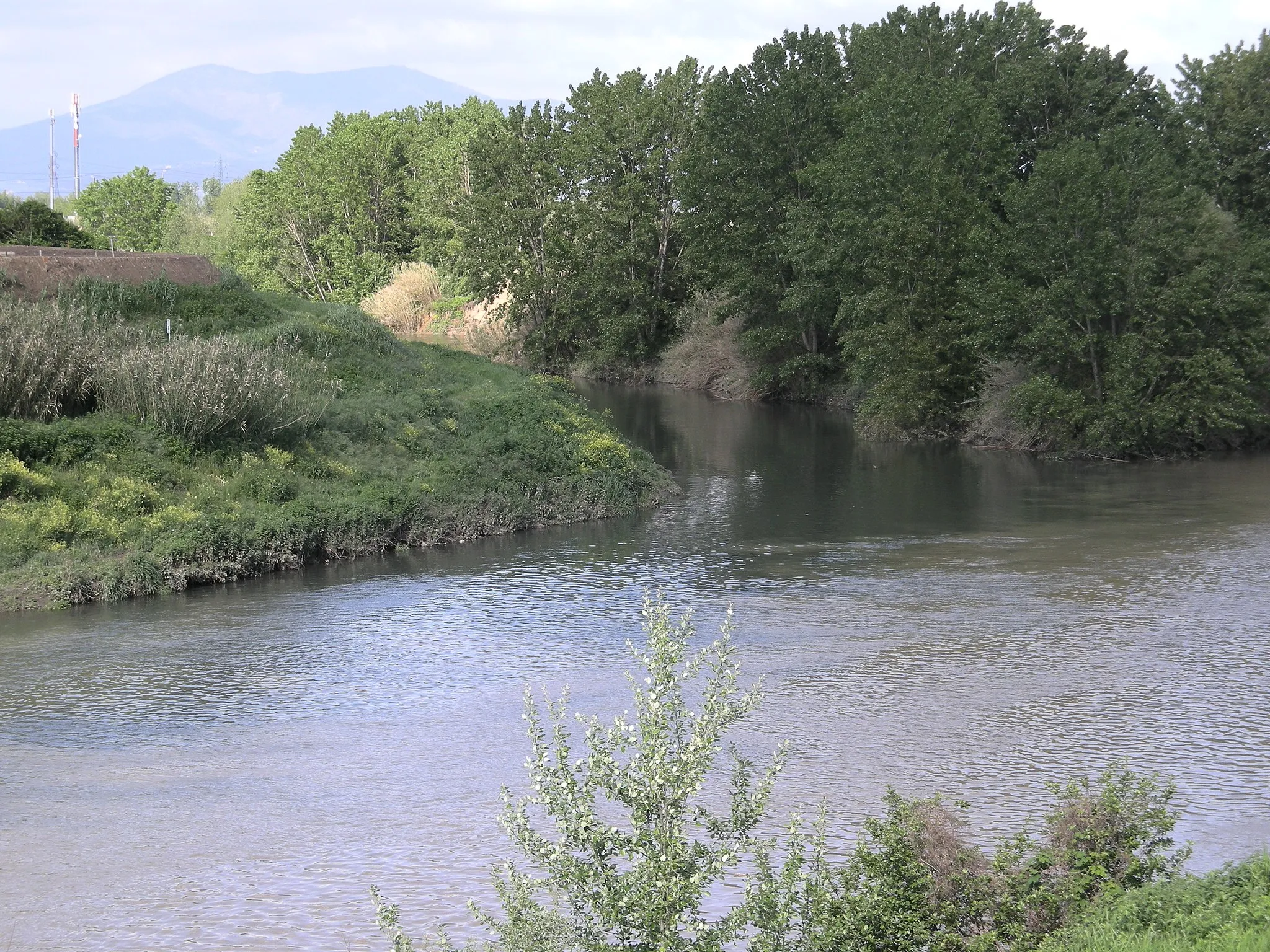
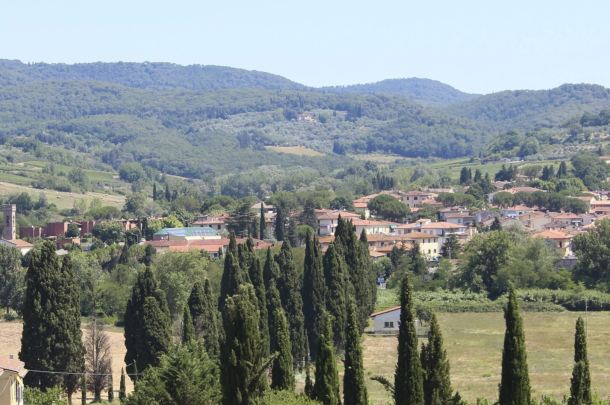
Start: Ponte a Signa Village centerLastra a Signa: Cycle through the beautiful landscapes of Lastra a Signa.
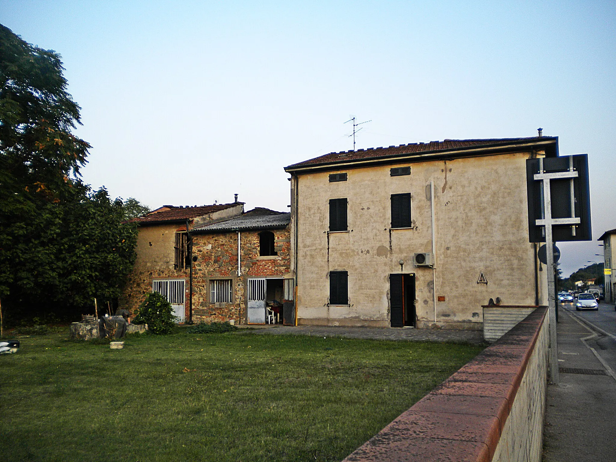
Lastra a Signa is a locality located in Toscana, Italy that offers decent cycling opportunities for both road and gravel cyclists. The surrounding area features rolling hills, vineyards, and picturesque countryside, providing a pleasant backdrop for cycling enthusiasts. One well-known cycling spot nearby is the Montalbano climb, famous for its challenging ascent and stunning views. While Lastra a Signa may not be as renowned as other cycling destinations in Tuscany, it still offers a solid cycling experience for those looking to explore the region.0 km
0 km
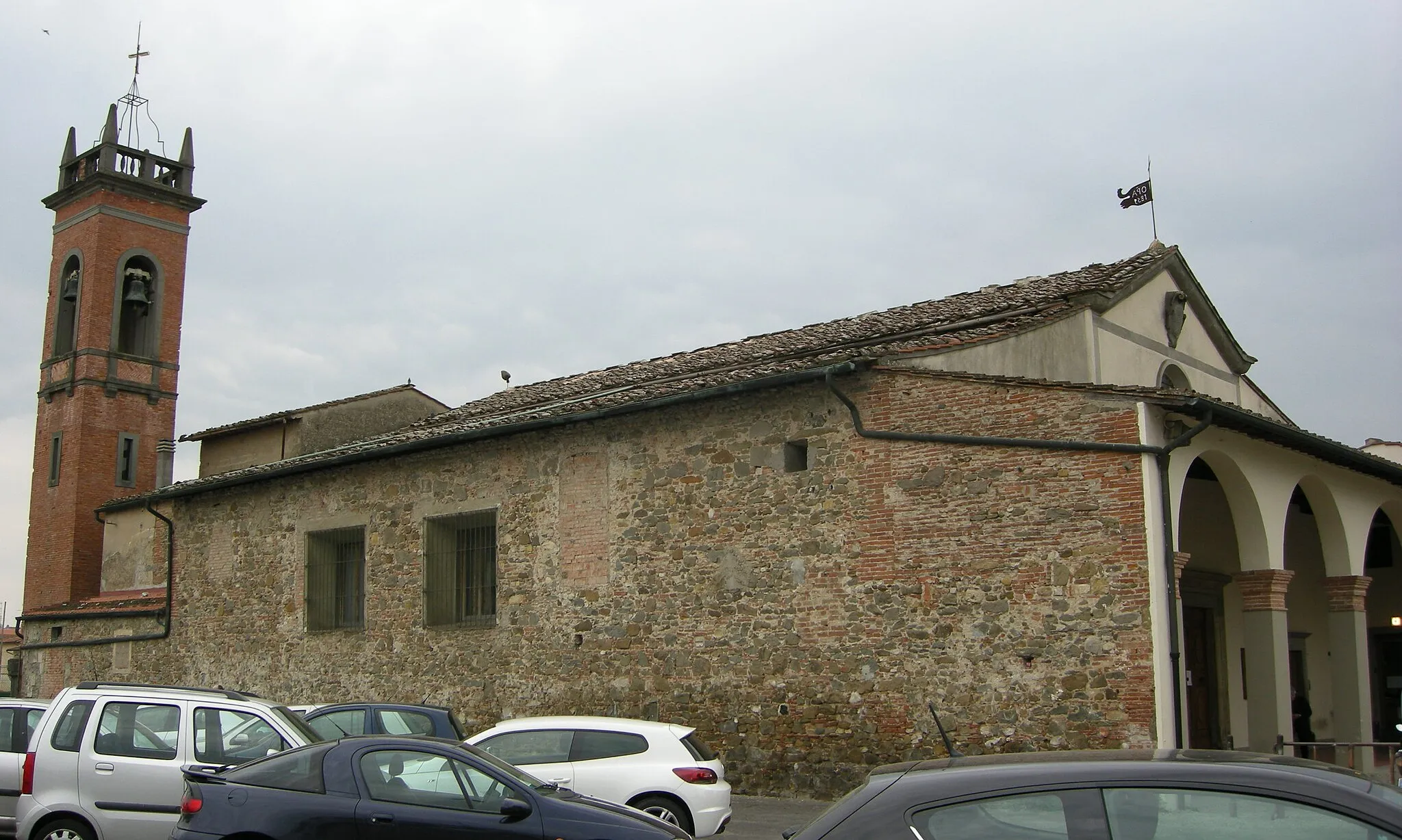
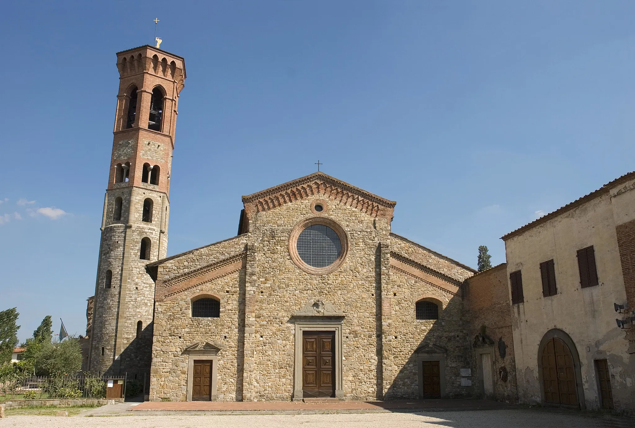
SignaTownStop by Signa, a charming town with a rich history that dates back to the Etruscan period.
4 km
4 km
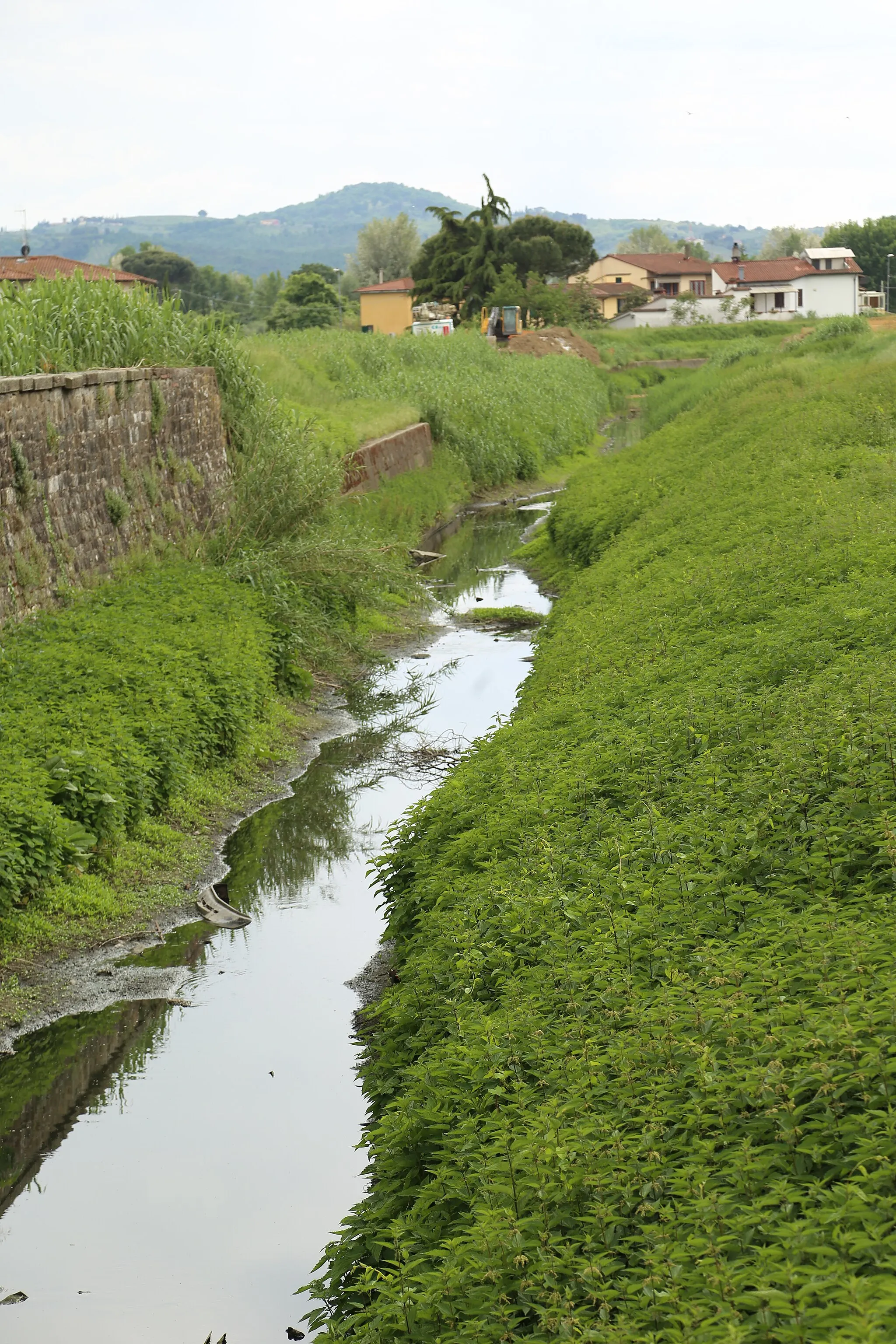
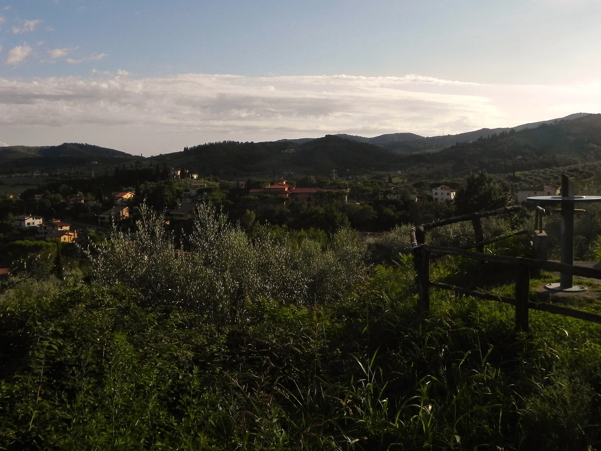
Colle San Romolo284 mPeakTake a break at Colle San Romolo and soak in the breathtaking views of the surrounding countryside.
16 km
16 km
Cerbaia in Val di PesaVillagePause at Cerbaia in Val di Pesa and explore its beautiful vineyards and wineries.
40 km
40 km
Tavarnelle Val di PesaVillageVisit Tavarnelle Val di Pesa, a quaint town known for its medieval architecture and charming atmosphere.
57 km
57 km
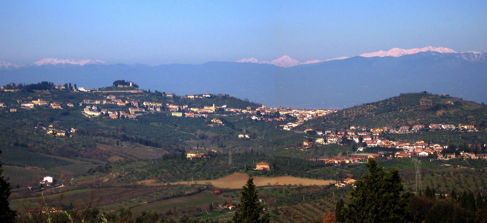
MontespertoliTownExplore Montespertoli, a picturesque village located in the heart of the Chianti wine region.
74 km
74 km
MalmantileVillageDiscover Malmantile, a medieval fortress town with stunning panoramic views of the Tuscan countryside.
77 km
77 km
Poggio di Gangalandi60 mPeakMake a stop at Poggio di Gangalandi and enjoy the tranquility of its natural surroundings.
78 km
78 km
Finish: Ponte a Signa Village centerLastra a Signa: Cycle through the beautiful landscapes of Lastra a Signa.
Cycling routes from Lastra a Signa:
Lastra Explorer Pistoia Prato Loop Road Route San Miniato Historic Road Route Colle San Romolo Gravel Route Chianti Classic Road Route Lastra Champion Ginestra Fiorentina Gravel Route Tuscan Bliss Broncigliano Adventure Tuscan Legend Scenic Road Cycling Route through Montespertoli and Castello di Oliveto Gravel Adventure through Signa and Montelupo Fiorentino
Cycling routes nearby: