Monte le Coste Circuit
A road cycling route starting from Montemurlo
Explore the picturesque village of Montale and conquer the Monte le Coste
Map
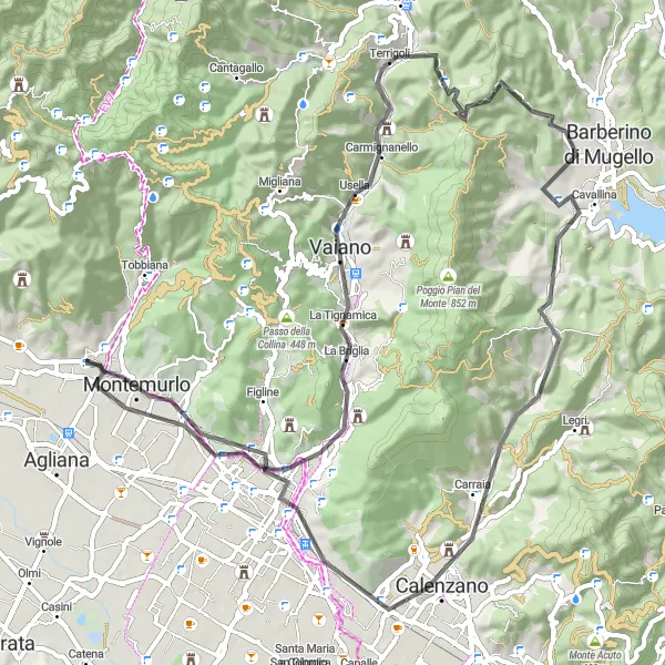
Embark on a scenic journey through the beautiful countryside of Toscana, starting near Montemurlo. This road cycling route offers stunning views and challenging ascents, including the iconic Monte le Coste. With a total distance of 76 kilometers and an ascent of 1063 meters, this route provides a good challenge for amateur cyclists. Enjoy the highlights of Montale, Terrigoli, Poggio delle Prata, Croci di Calenzano, and the quaint town of Calenzano along the way.
road
76 km
1063 m
Tough
Route profile
Highlights on the route
0 km
0 km
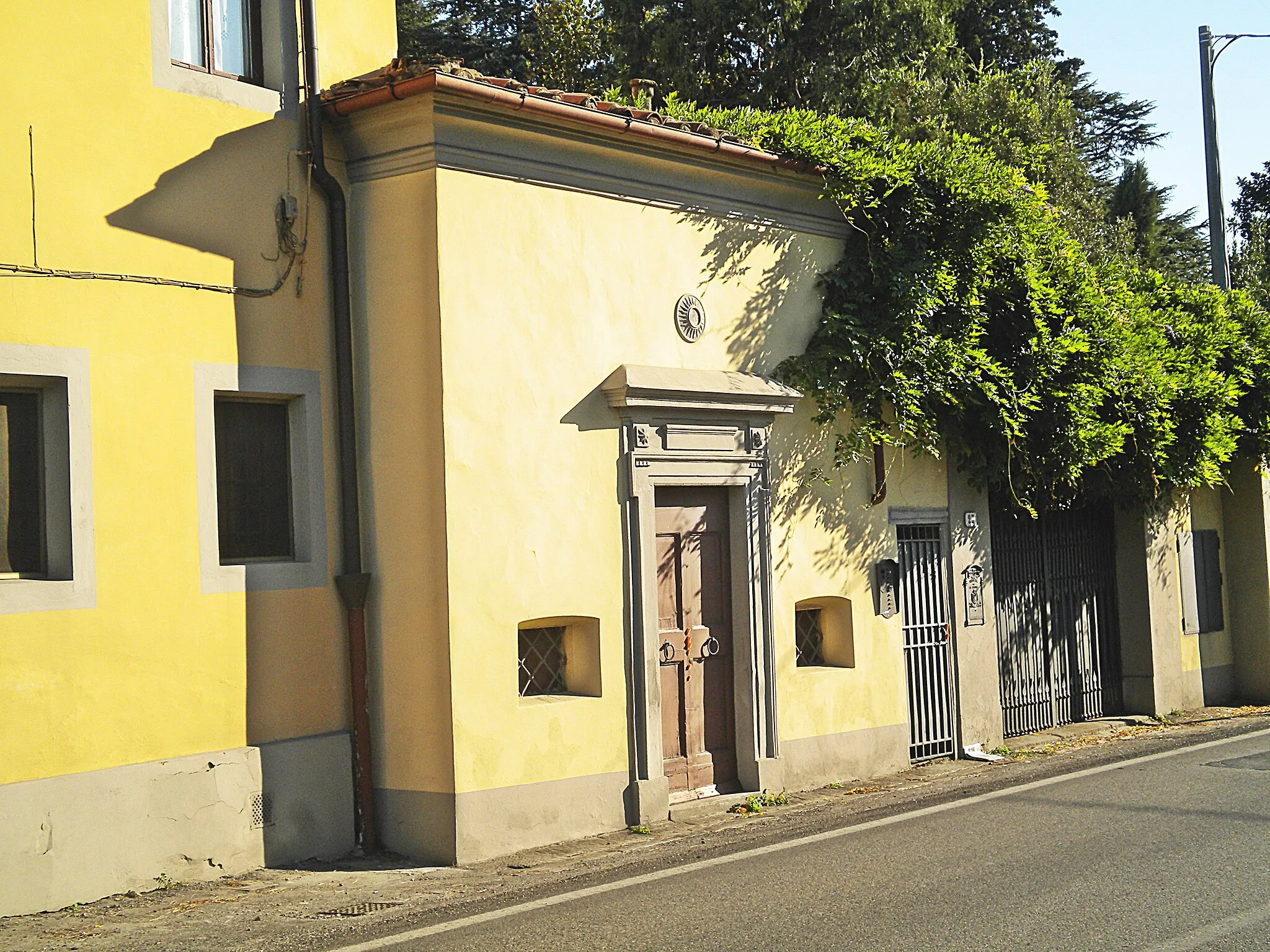
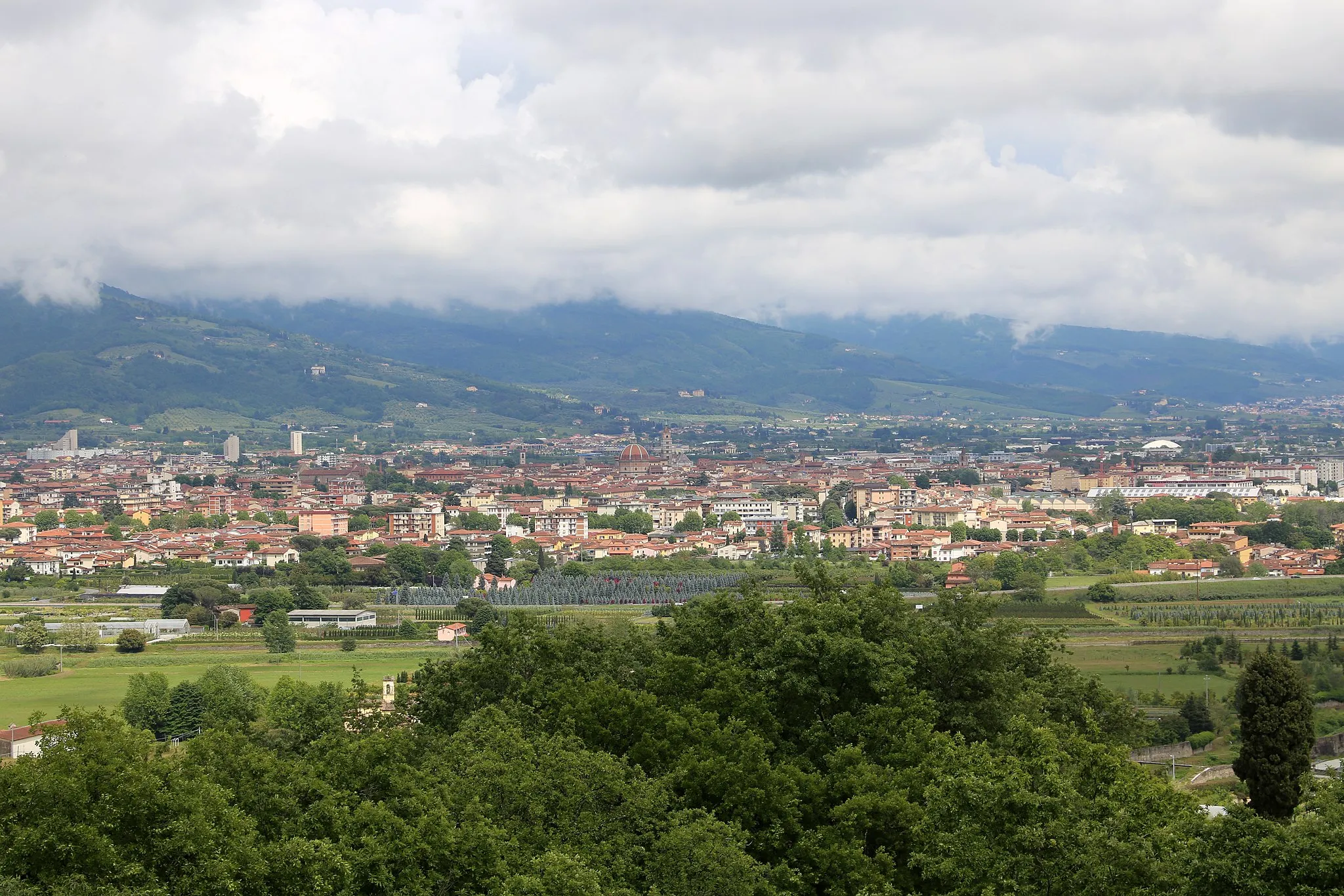
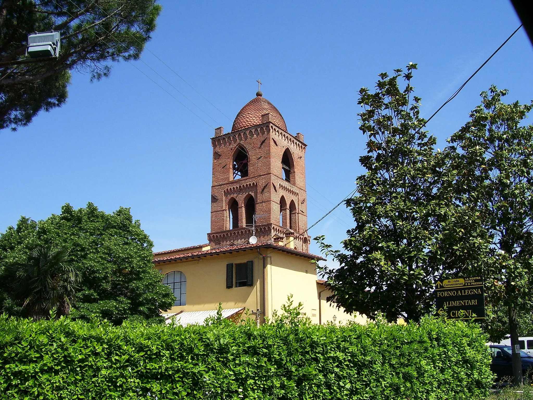
Start: Montale City centerMontemurlo: Exploring the enchanting landscapes of Montemurlo on two wheels.
Montemurlo is a delightful locality nestled in Toscana, Italy. From a cyclist's perspective, it offers the opportunity to explore gentle rolling hills and captivating landscapes. The area features scenic cycling routes, suitable for both road and gravel bikers. Although not home to any well-known cycling spots or legendary climbs, Montemurlo provides a pleasant and enjoyable cycling experience. It is a decent locality for cycling and tourism, with a rank of 3.0 km
0 km
MontaleTownLocated at 0 kilometers on the route, Montale is a charming village with historical landmarks and breathtaking views.
14 km
14 km
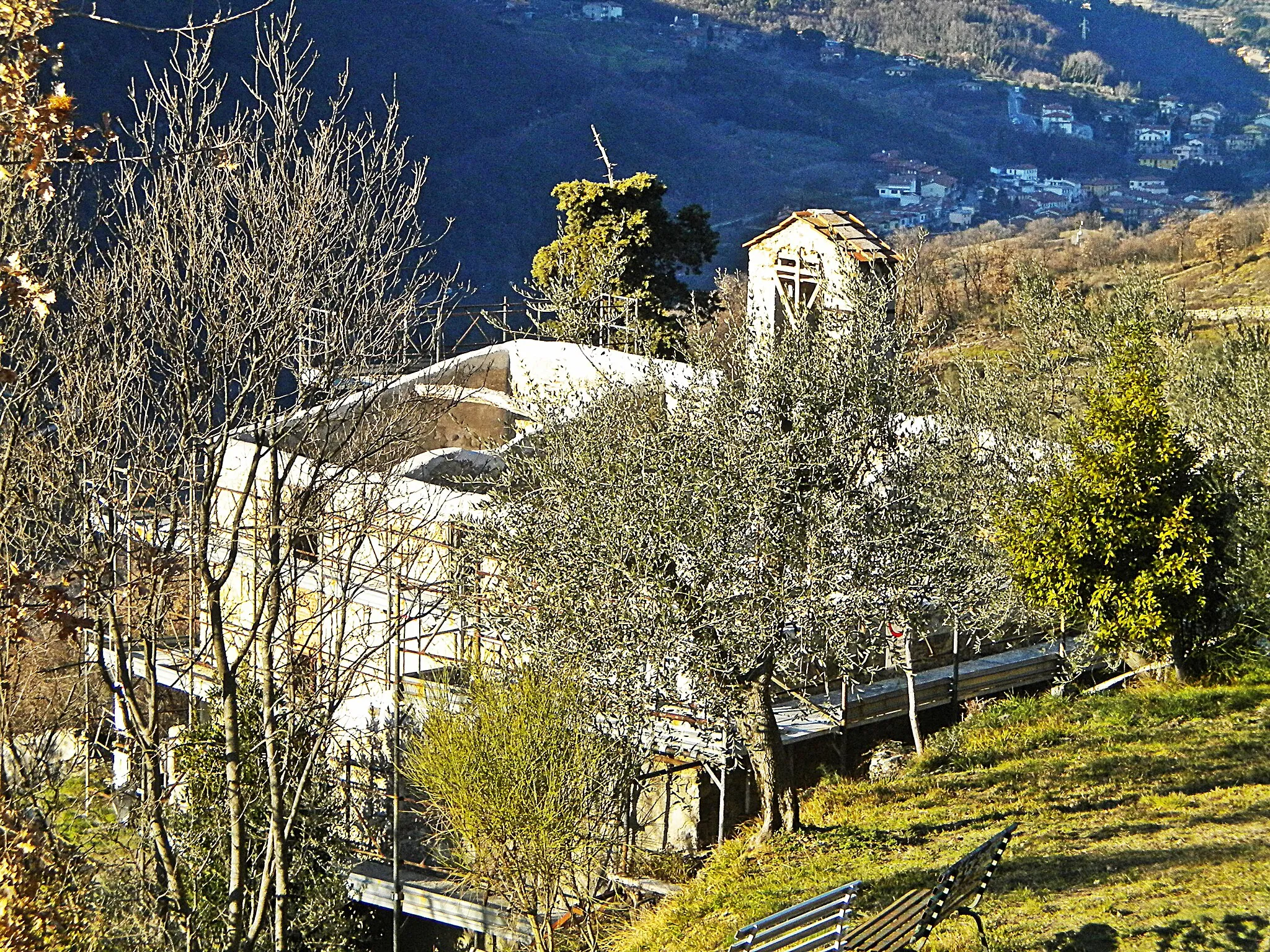
Monte le Coste530 mPeakAt 14 kilometers on the route, Monte le Coste offers a challenging ascent and rewards cyclists with panoramic views of the surrounding countryside.
26 km
26 km
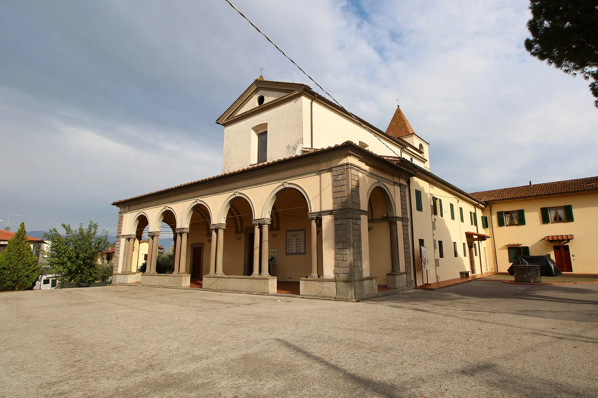
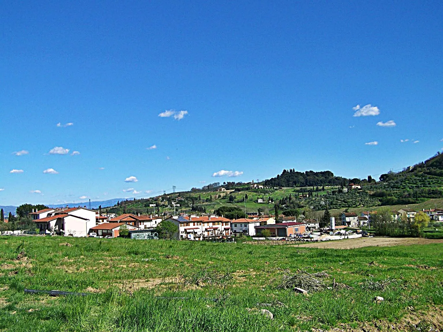
TerrigoliVillageTerrigoli, at a distance of 26 kilometers, is a perfect pit stop for refreshments with its local restaurants and cafes.
33 km
33 km
Poggio delle Prata696 mPeakPoggio delle Prata, located at 33 kilometers, is surrounded by rolling hills and stunning landscapes.
48 km
48 km
Croci di Calenzano427 mMountain PassAt 48 kilometers, Croci di Calenzano provides a panoramic viewpoint and a chance to soak in the tranquility of the area.
58 km
58 km
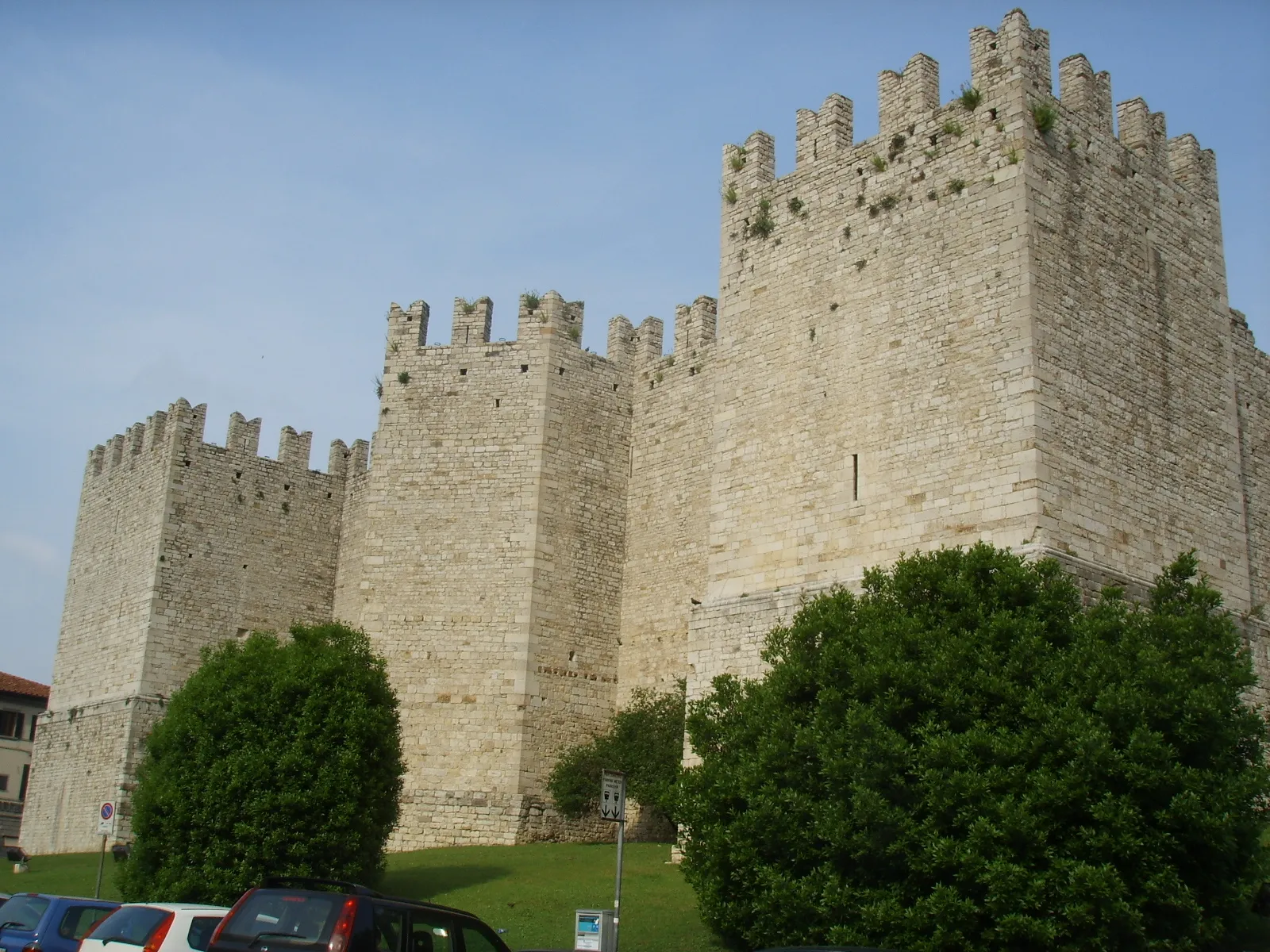
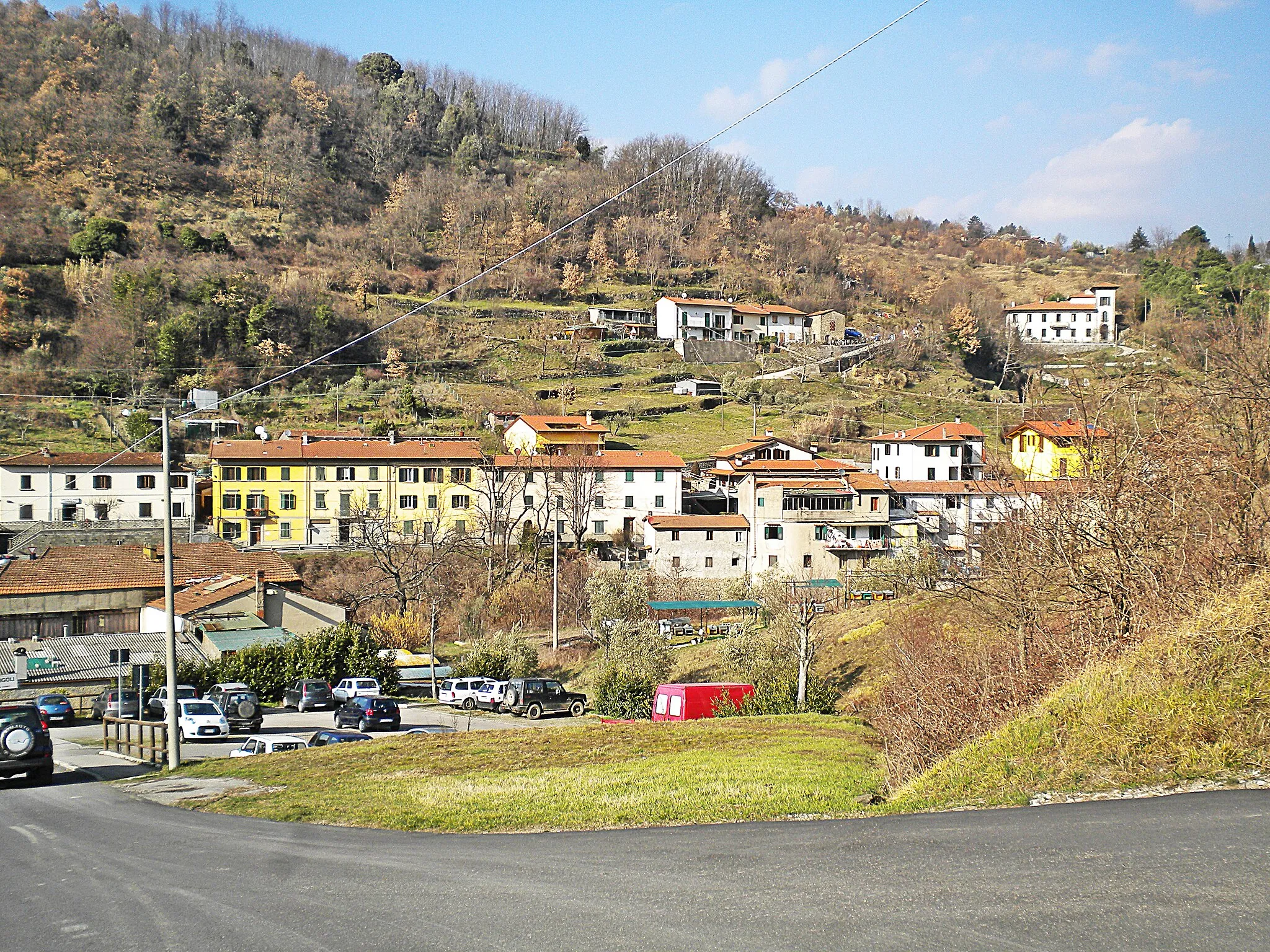
CalenzanoTownCalenzano, situated at 58 kilometers, is a picturesque town with a rich cultural heritage.
74 km
74 km
MontemurloTownAs the starting point and endpoint of the route, Montemurlo offers a glimpse into the traditional Italian way of life.
76 km
76 km
Finish: Montale City centerMontemurlo: Exploring the enchanting landscapes of Montemurlo on two wheels.
Cycling routes nearby: