Scenic Road to Pisa
A road cycling route starting from Santa Croce sull'Arno
Discover the beauty of Tuscany on an unforgettable road cycling route to Pisa
Map
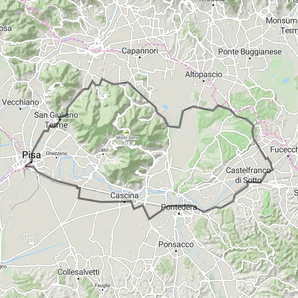
Embark on a scenic road cycling journey from Santa Croce sull'Arno to Pisa. With a distance of 93 kilometers and an ascent of 436 meters, this route offers a mix of breathtaking views and historic landmarks. Highlights include the town of Pontedera and the world-famous city of Pisa with its iconic Leaning Tower. Rated with a difficulty level of 3, this route is suitable for intermediate cyclists seeking a memorable travel experience.
road
93 km
436 m
Tough
Route profile
Highlights on the route
0 km
0 km
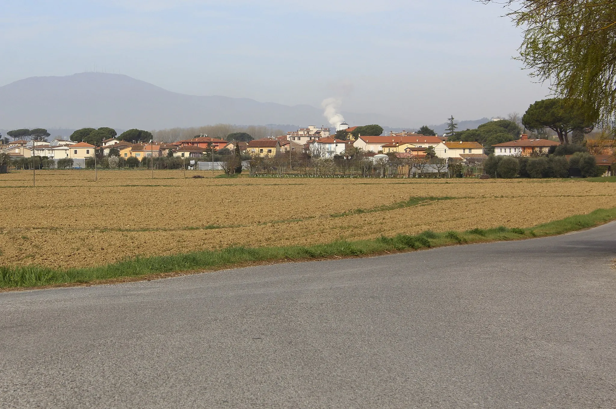
Start: Santa Croce sull'Arno City centerSanta Croce sull'Arno: Cycling in the heart of Tuscany, with access to a famous cycling event.
Santa Croce sull'Arno, located in the Tuscany region of Italy, is a bustling town that caters to both road and gravel cyclists. The region is known for its flat and well-maintained roads, making it ideal for beginners or those looking for a more relaxed ride. Santa Croce sull'Arno is also home to a famous cycling event, the Gran Fondo Gimondi-Bianchi, which attracts professional and amateur cyclists alike. The town offers several cycling-friendly accommodations and amenities, making it a perfect starting point for exploring the surrounding area. Overall, Santa Croce sull'Arno is a must-visit location for cyclists of all levels.16 km
16 km
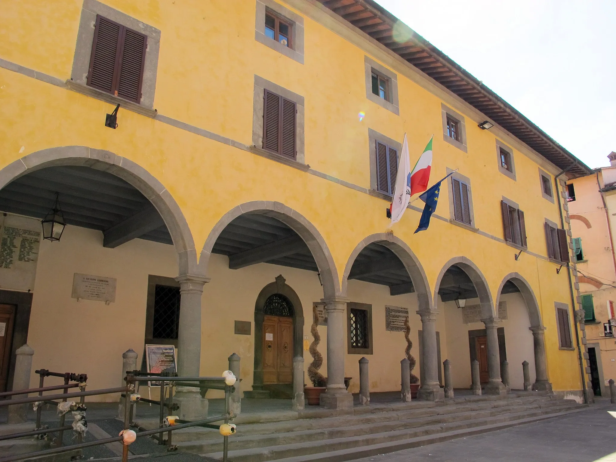
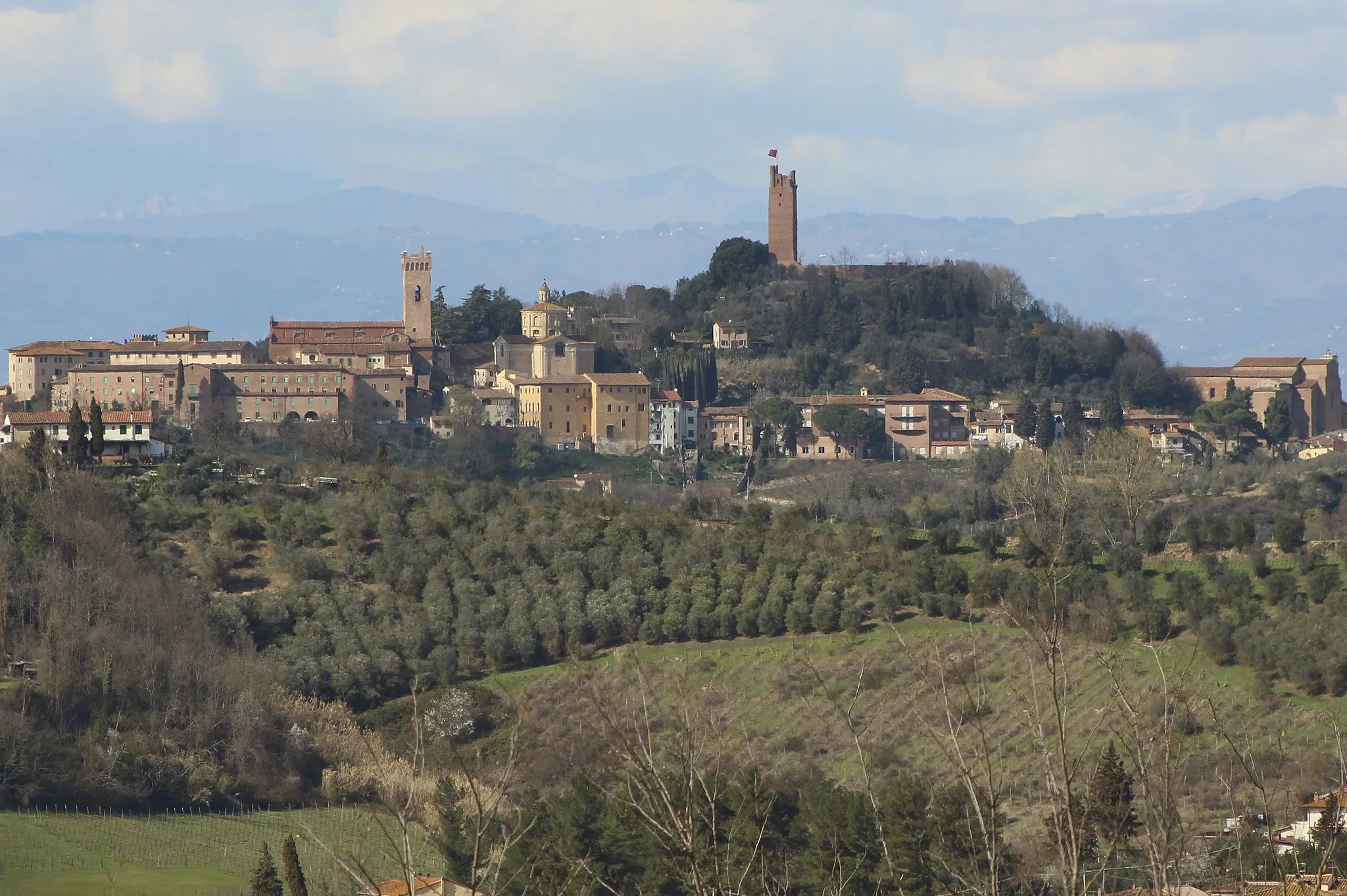
PontederaTownPontedera, known for its well-preserved medieval buildings and charming squares
25 km
25 km
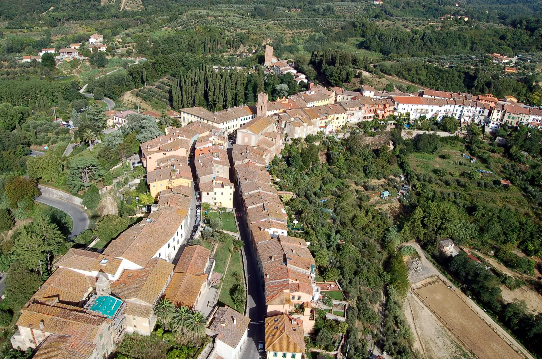
CascinaTownCascina, a historic town with beautiful architecture
42 km
42 km
PisaCityPisa, home to the iconic Leaning Tower and stunning cathedral
50 km
50 km
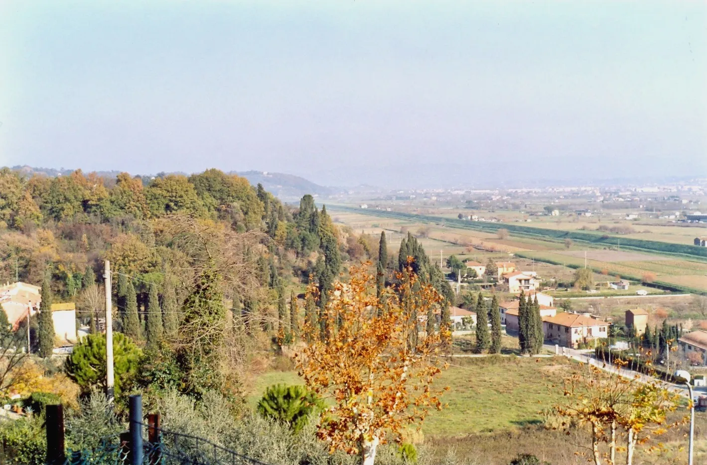
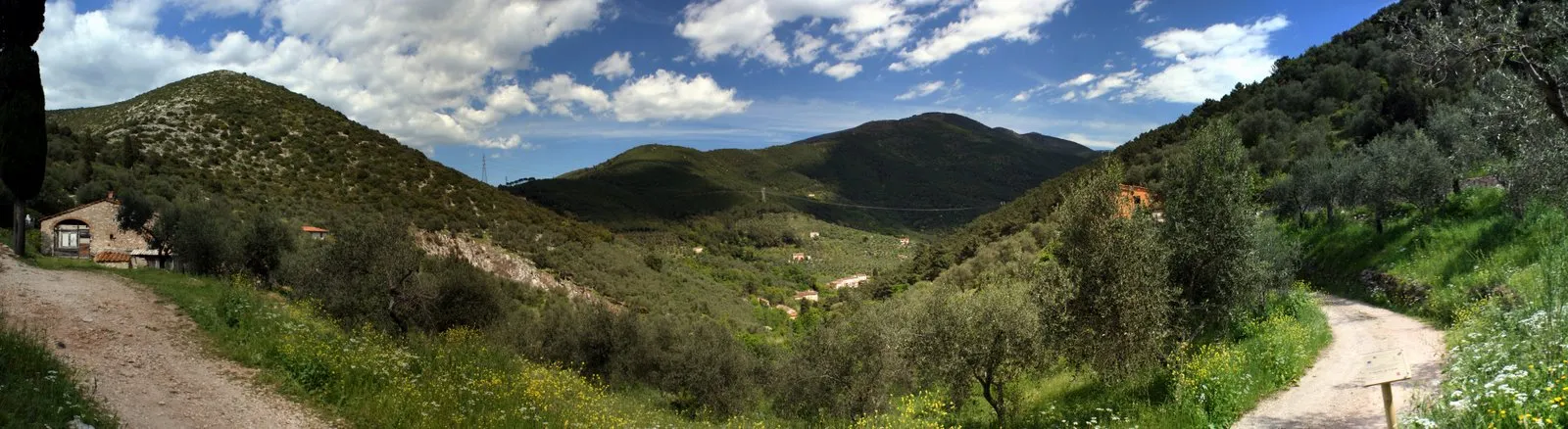
Monte Castellare266 mPeakMonte Castellare offers panoramic views of the surrounding countryside
59 km
59 km
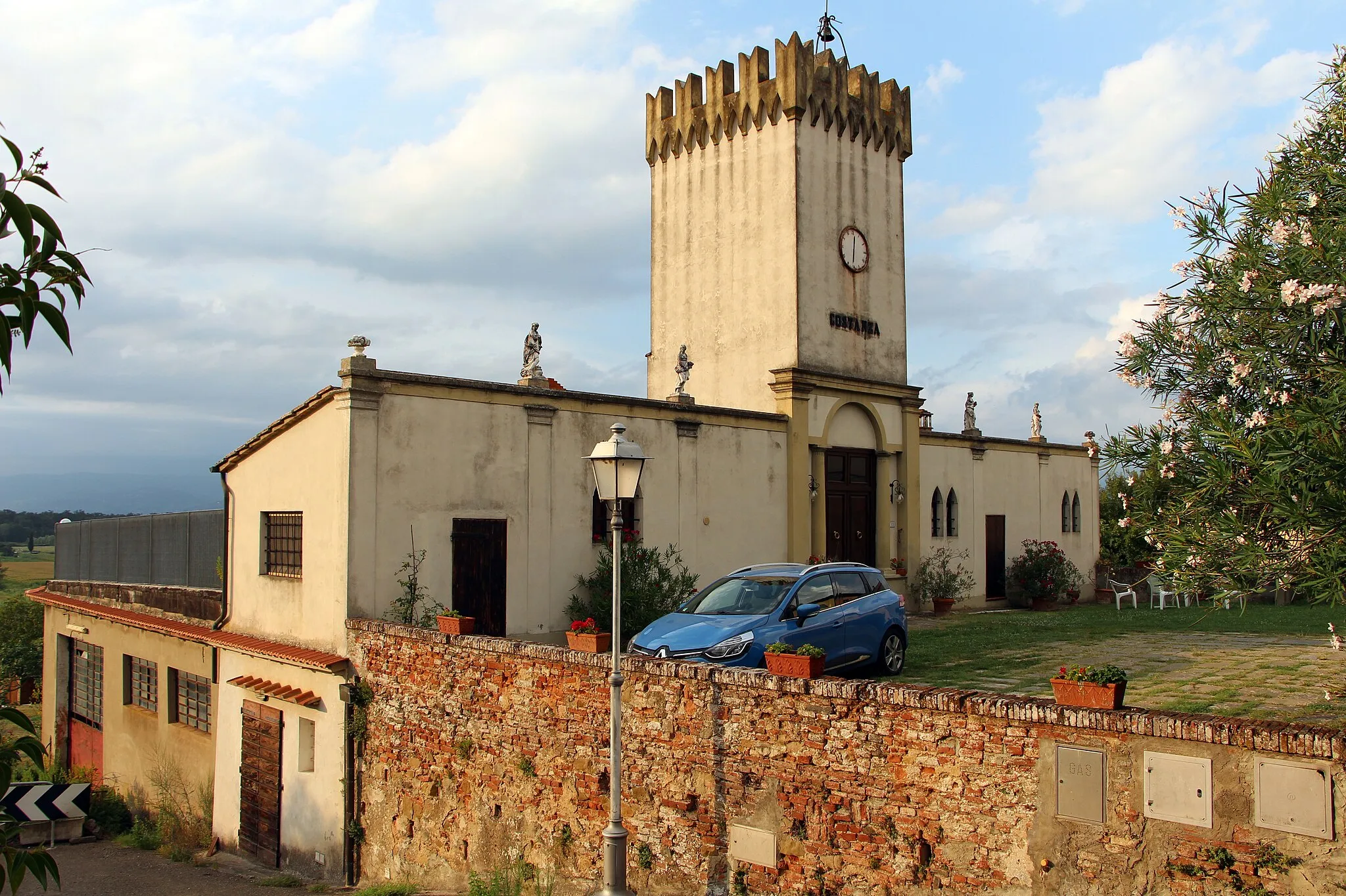
Badia di CantignanoHamletBadia di Cantignano, a monastery surrounded by picturesque olive groves
72 km
72 km
Monte Cucco142 mPeakMonte Cucco, known for its rocky mountain formations and scenic beauty
82 km
82 km
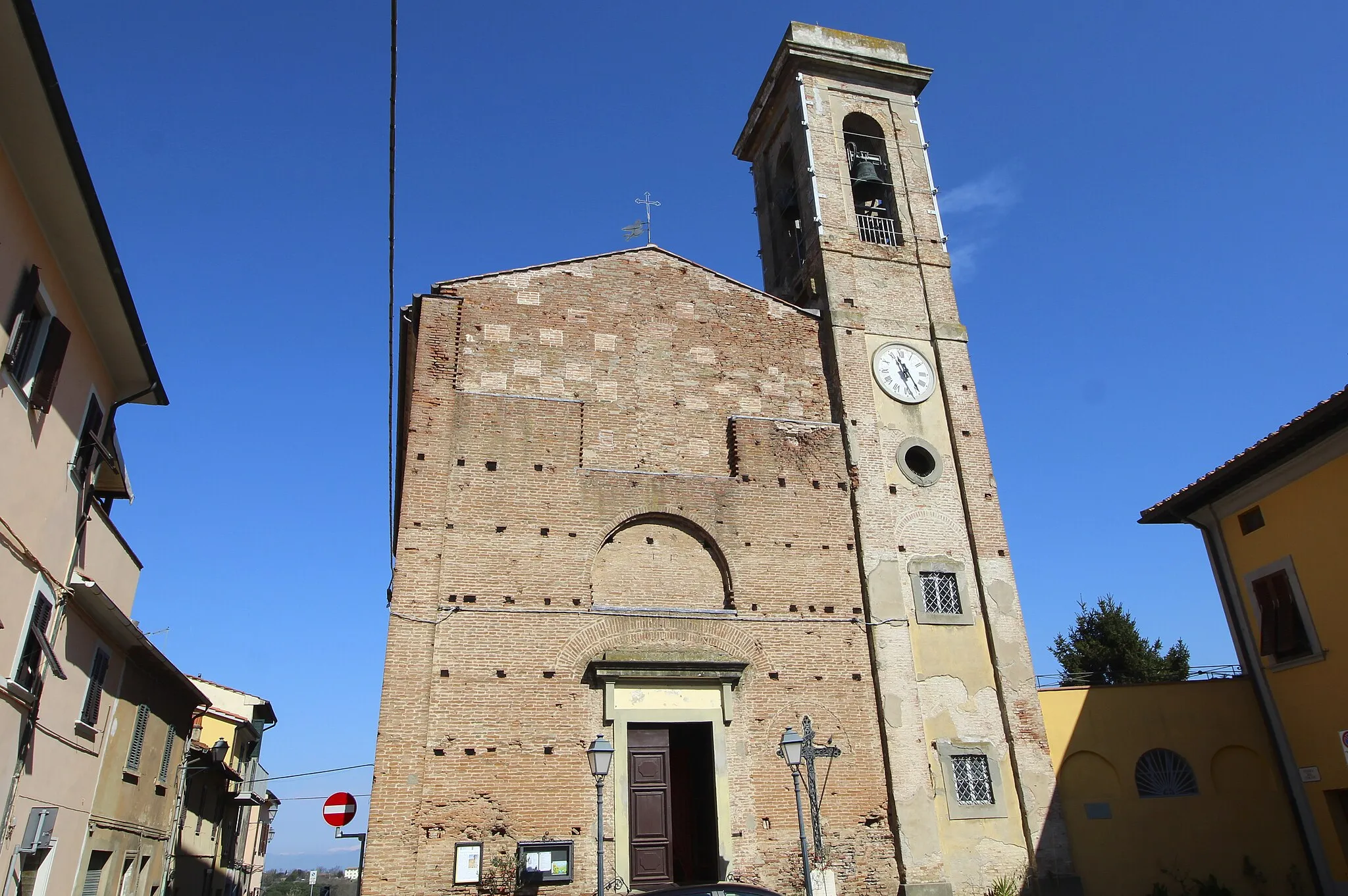
GallenoVillageGalleno offers beautiful countryside landscapes and historic landmarks
93 km
93 km
Finish: Santa Croce sull'Arno City centerSanta Croce sull'Arno: Cycling in the heart of Tuscany, with access to a famous cycling event.
Cycling routes from Santa Croce sull'Arno:
Exploring San Donato and Ponte Buggianese on Gravel Countryside Exploration from Castelfranco di Sotto to Sant'Andrea di Compito Heritage Gravel Path Tuscan Hilltop Challenge The Gravel Route Through Vinci and Signa Challenging Road Route From Santa Croce sull'Arno to Poggio Mozzo Exploring the Val d'Arno Gravel Scenic Gravel Route Through Fucecchio and Anchiano Coastal Road Adventure Scenic Road to Pisa
Cycling routes nearby: