The Montecio Challenge
A road cycling route starting from San Vito di Leguzzano
Conquer the challenging ascent of Montecio and be rewarded with breathtaking views.
Map
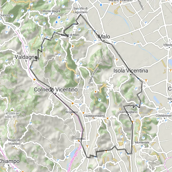
The Montecio Challenge is a 57 km road cycling route that tests your climbing abilities. With a strenuous ascent of 1,227 m, this route is recommended for experienced and well-trained cyclists. Along the way, you'll pass through Malo, Gambugliano, and Cornedo Vicentino before reaching the highlight of the route, Montecio. This route is rated with a difficulty level of 5 out of 5 and an epicness rating of 4 out of 5.
road
57 km
1227 m
Savage
Route profile
Highlights on the route
0 km
0 km
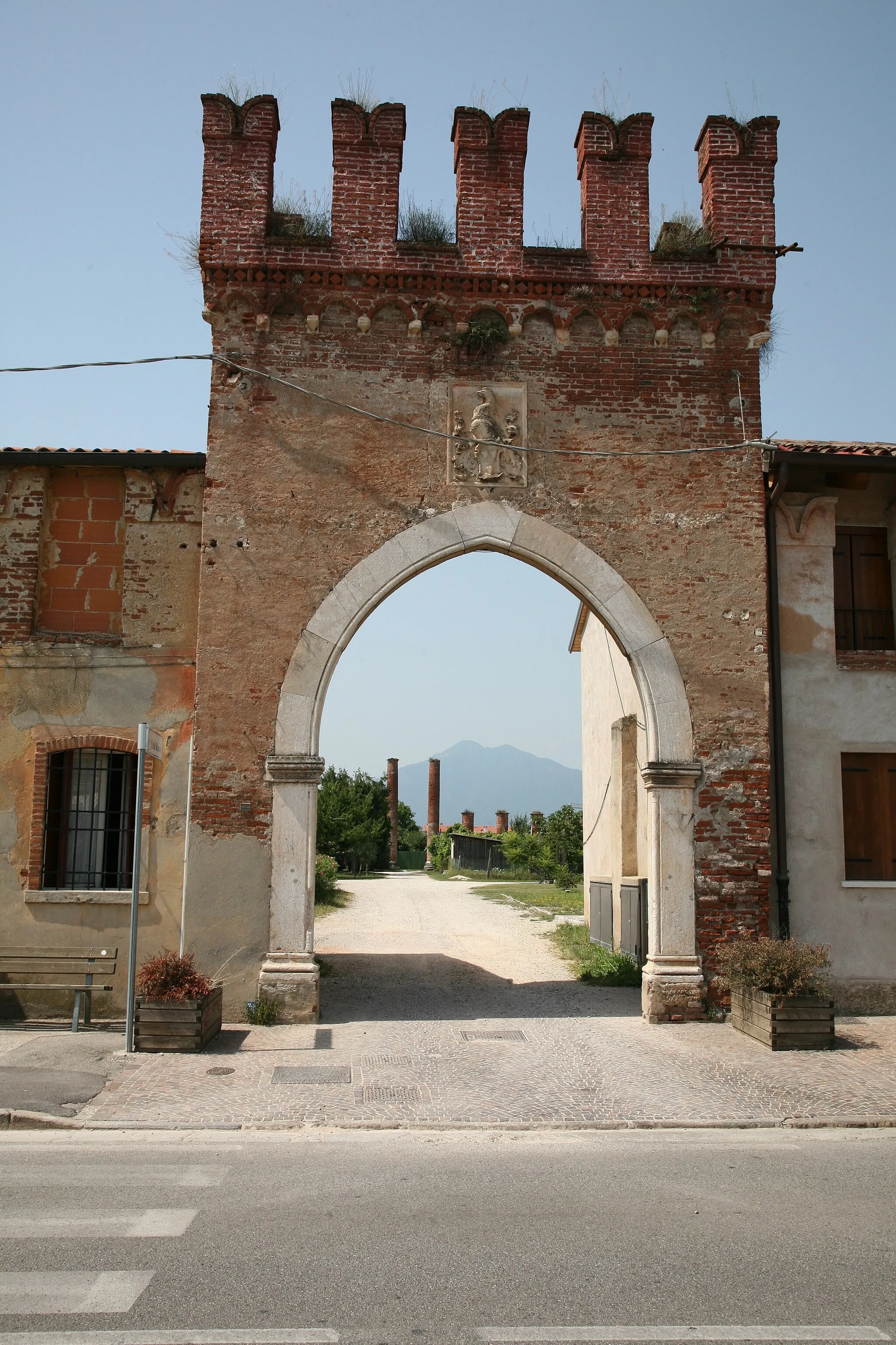
Start: San Vito di Leguzzano Village centerSan Vito di Leguzzano: Serenity and Thrills in the Veneto Countryside
San Vito di Leguzzano, located in the Veneto region of Italy, is a hidden gem for road and gravel cyclists. The locality offers a mix of challenging climbs and tranquil routes that meander through the pristine countryside. One well-known climb near San Vito di Leguzzano is the Monte Baldo, famous for its breathtaking views and challenging ascent. Cyclists can also explore the nearby Asiago plateau, which provides a unique riding experience with its expansive meadows and rolling hills. San Vito di Leguzzano caters to cyclists with its well-maintained roads and cyclist-friendly facilities. Whether you're a leisure rider or a seasoned cyclist, San Vito di Leguzzano offers a cycling paradise that shouldn't be missed.2 km
2 km
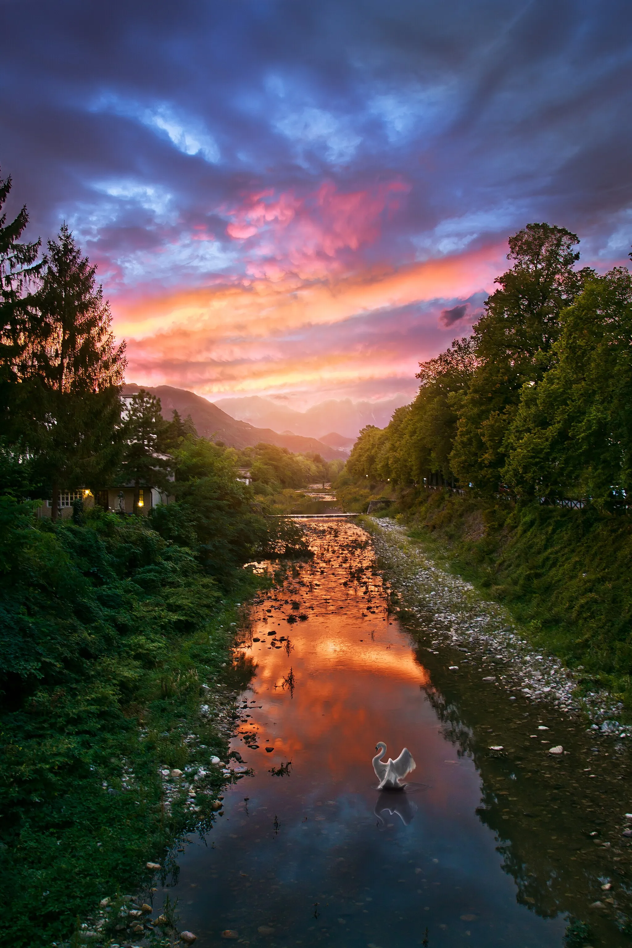
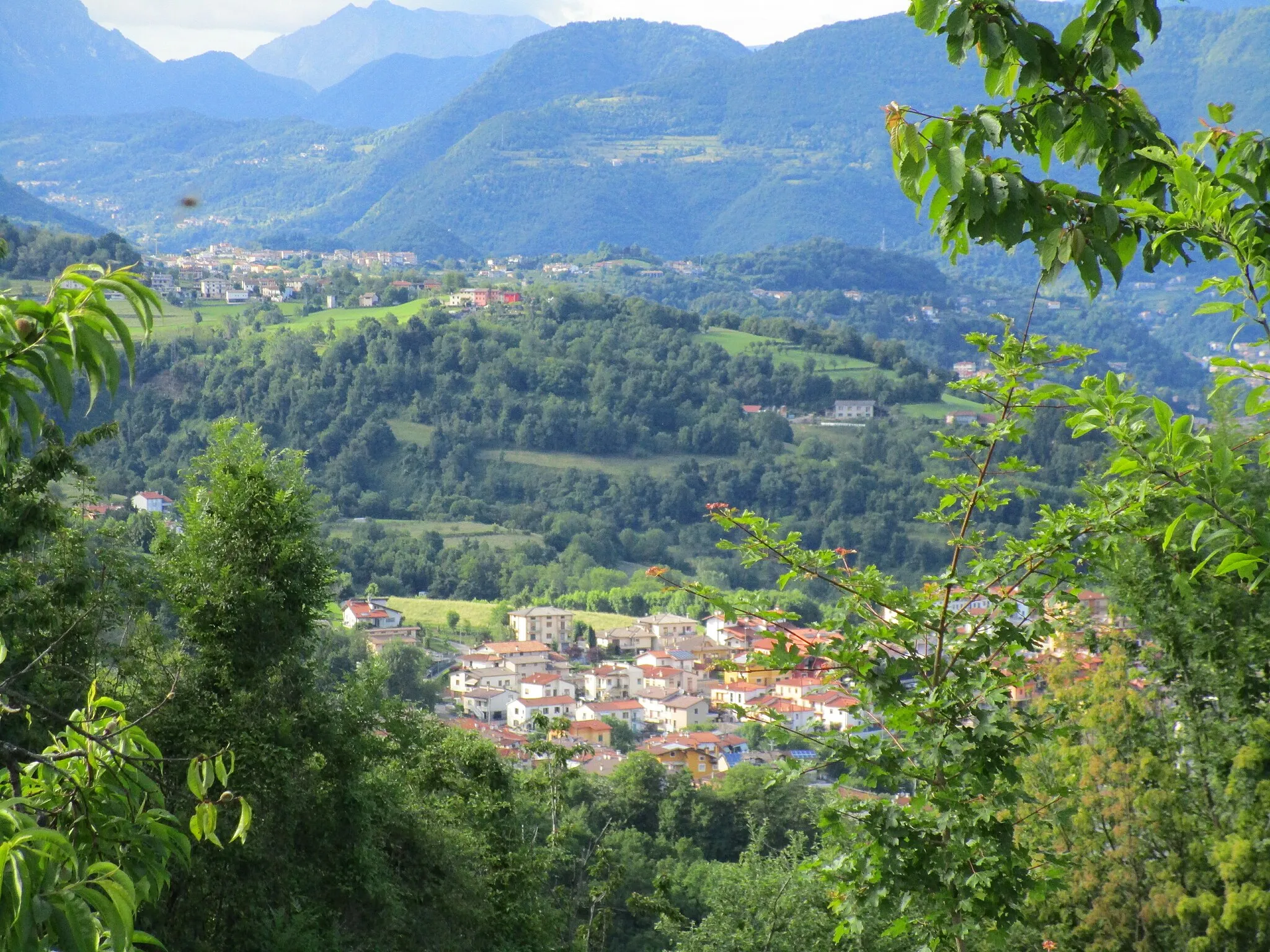
Montecio176 mPeakReach the top of Montecio, a legendary climb known for its challenging gradient and stunning views.
3 km
3 km
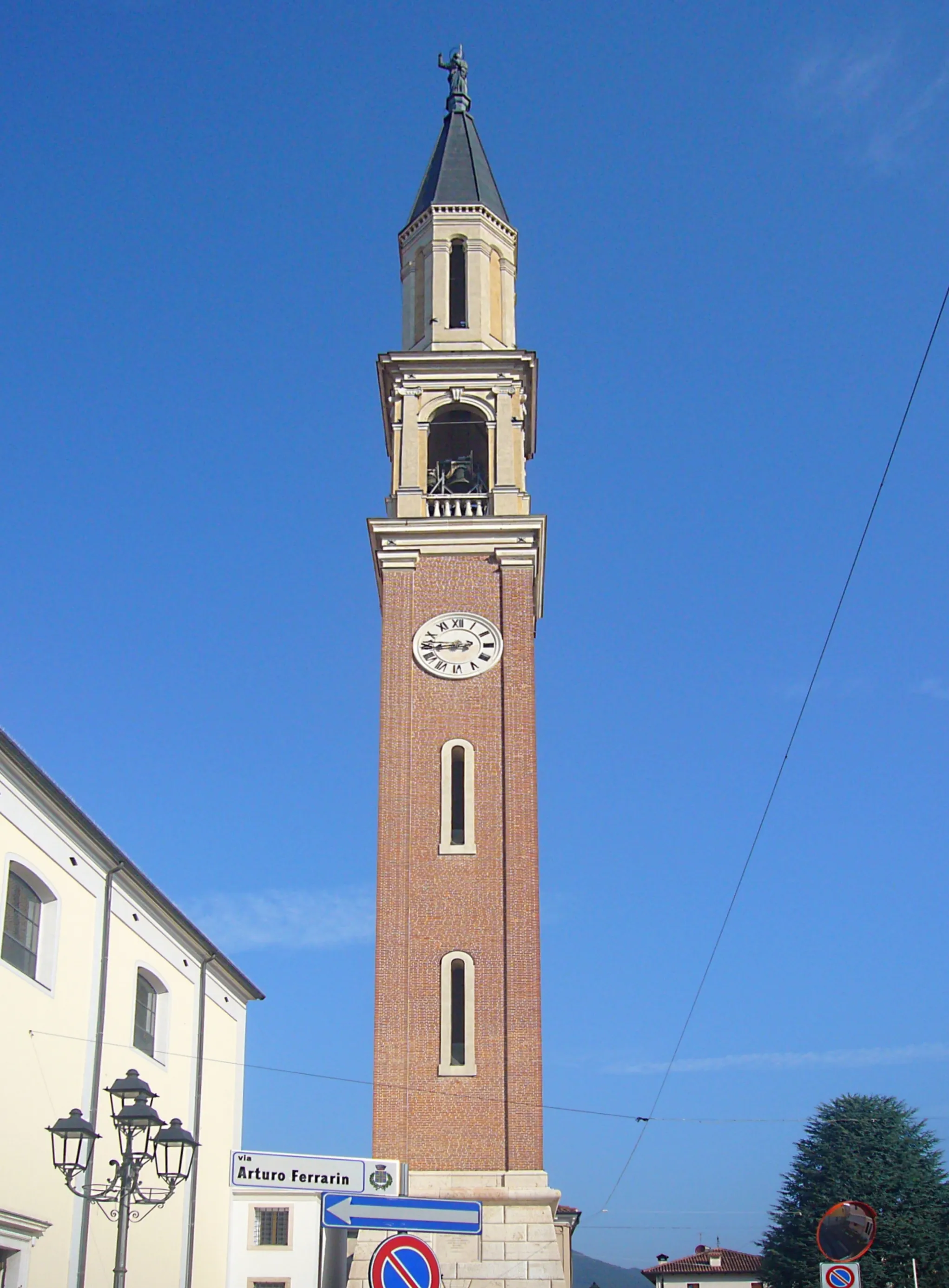
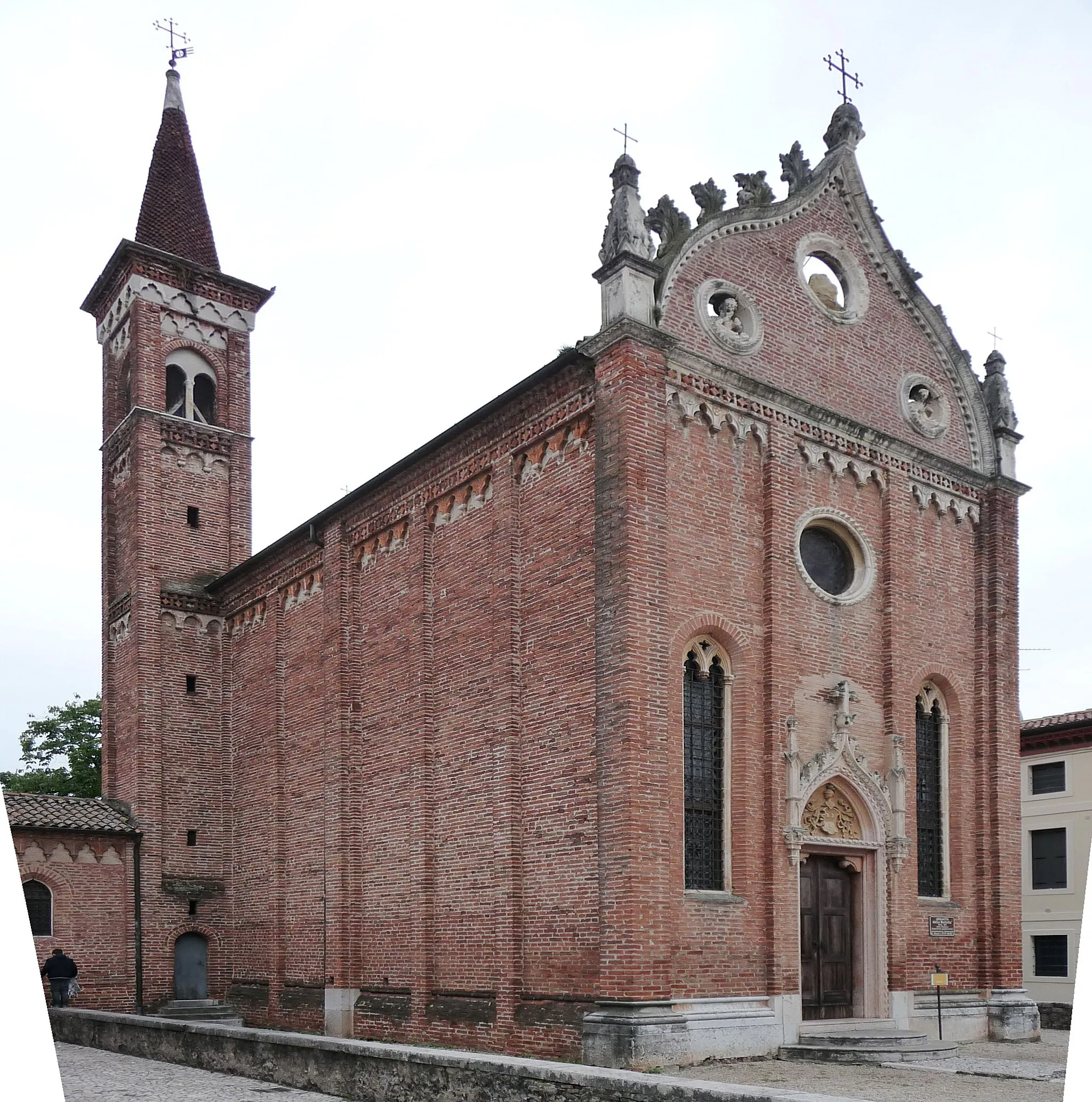
MaloTownPause in Malo and appreciate its well-preserved historic center.
17 km
17 km
GambuglianoVillageMarvel at the beautiful landscapes surrounding Gambugliano as you ride through the countryside.
36 km
36 km
Monte Bregonza362 mPeakAscend Monte Bregonza and enjoy panoramic views of the surrounding mountains.
37 km
37 km
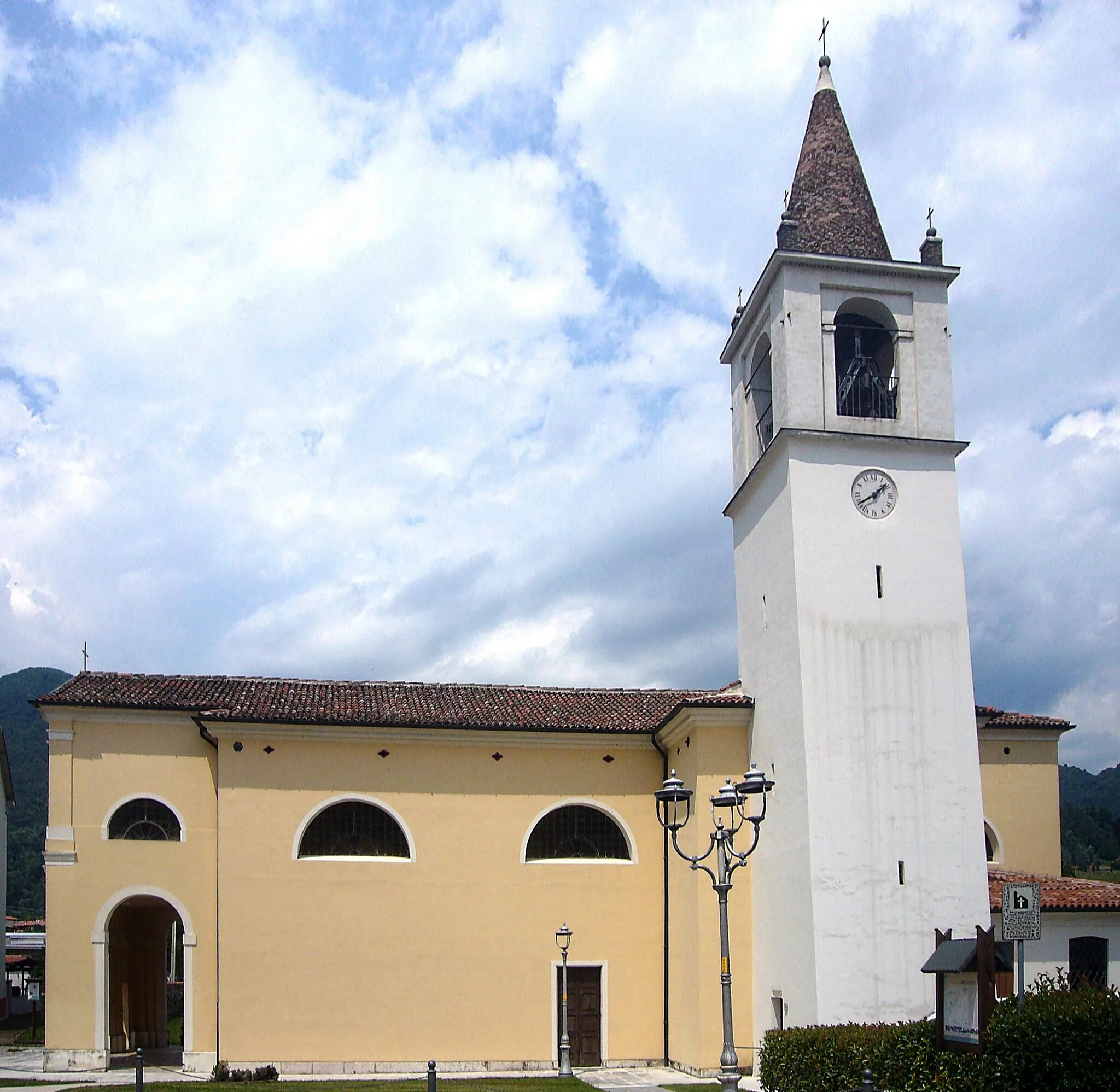
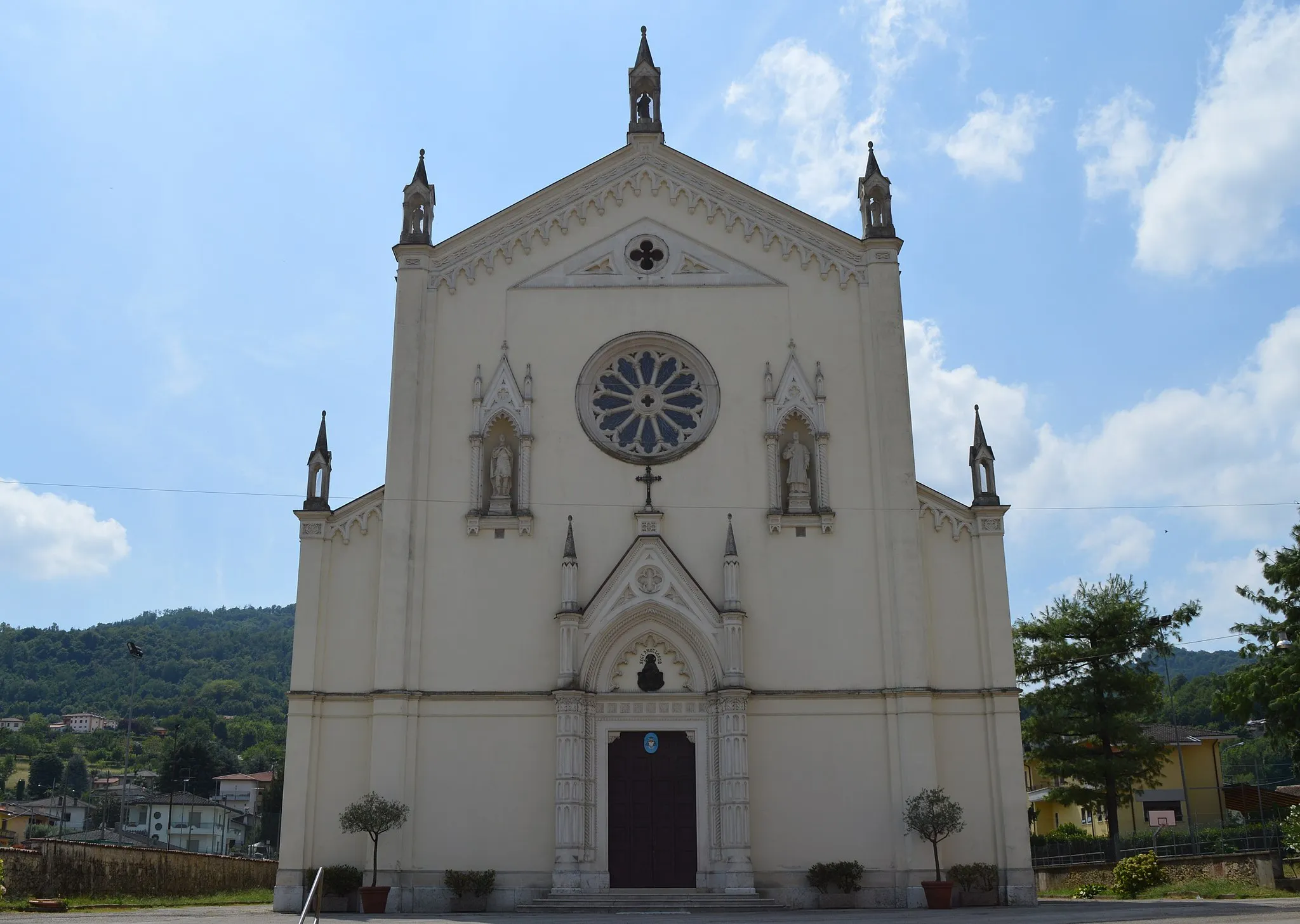
Cornedo VicentinoTownTake in the scenic beauty of Cornedo Vicentino as you pass through this charming town.
43 km
43 km
ValdagnoTownDiscover Valdagno and its textile heritage as you ride through its streets.
47 km
47 km
Monte Mado661 mPeak52 km
52 km
Monte di MaloVillage57 km
57 km
Finish: San Vito di Leguzzano Village centerSan Vito di Leguzzano: Serenity and Thrills in the Veneto Countryside
Cycling routes from San Vito di Leguzzano:
The Zanè Loop The Montecio Challenge Gravel Adventure through the Vicentine Alps The Legendary Pasubio Loop Marano Vicentino Loop San Vito di Leguzzano Loop San Vito - Isola Vicentina Loop San Vito - Valdagno Loop San Vito - Isola Vicentina Extended Loop The Gravel Adventure: San Vito di Leguzzano Loop Montecio Loop
Cycling routes nearby: