Kolašin and Bijele Stijene Loop
A road cycling route starting from Kolasin
Explore the stunning landscapes and challenging terrains of Kolašin and Bijele Stijene on this road cycling route.
Map
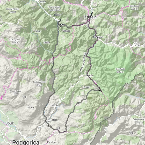
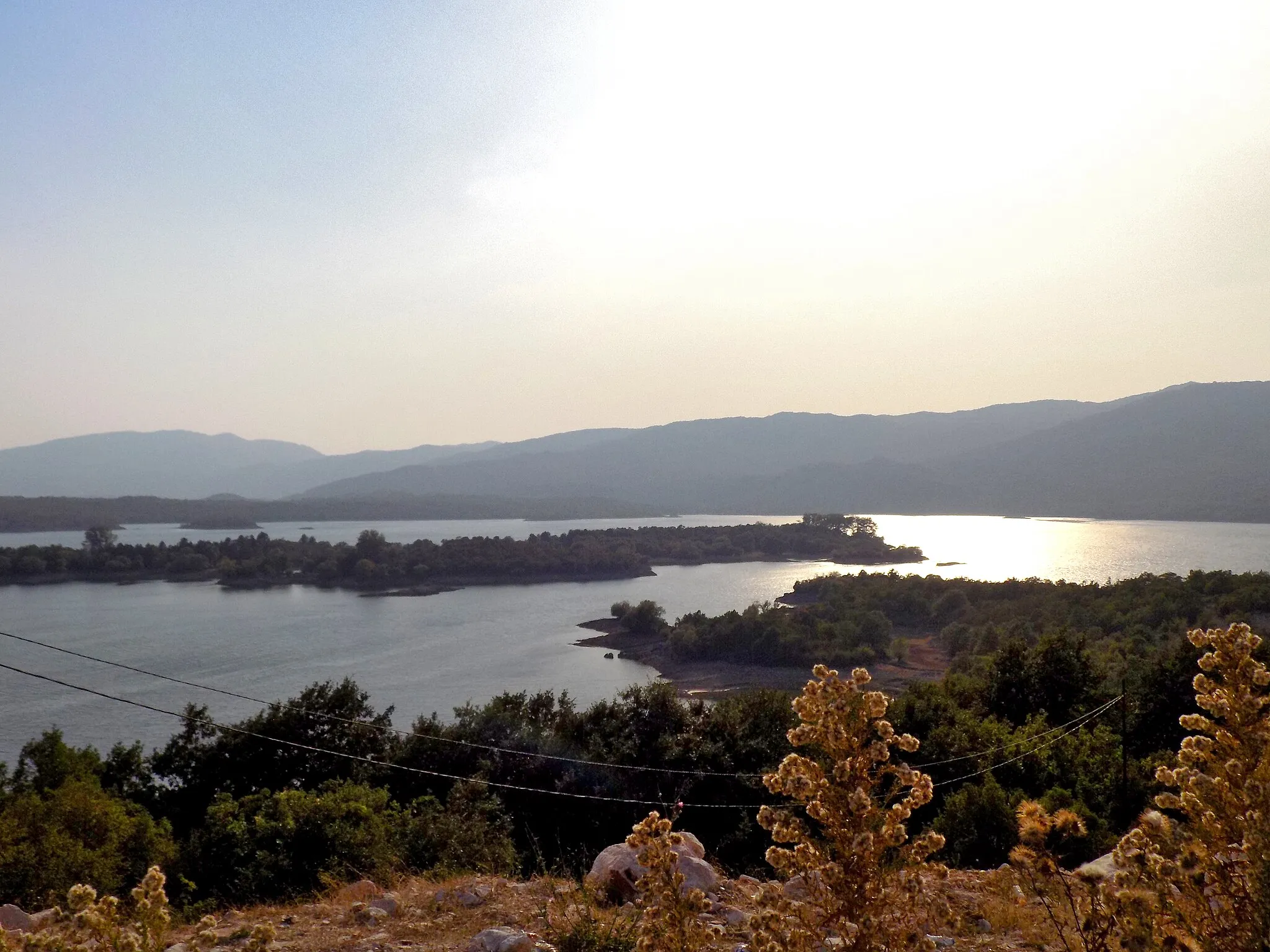
This route combines beautiful scenery with challenging ascents, making it suitable for experienced cyclists. Starting in Kolašin, you will ride through Veruša and Đebeza before reaching Škuljka and Vršak. The highlight of the route is Bijele Stijene, a rocky mountain range that offers breathtaking views. Another notable highlight is the Moracha monastery, located at the 107 km mark. With an ascent of 4048 m and a distance of 134 km, this route requires proper training and endurance.
road
134 km
4048 m
Tough
Route profile
Highlights on the route
0 km
0 km
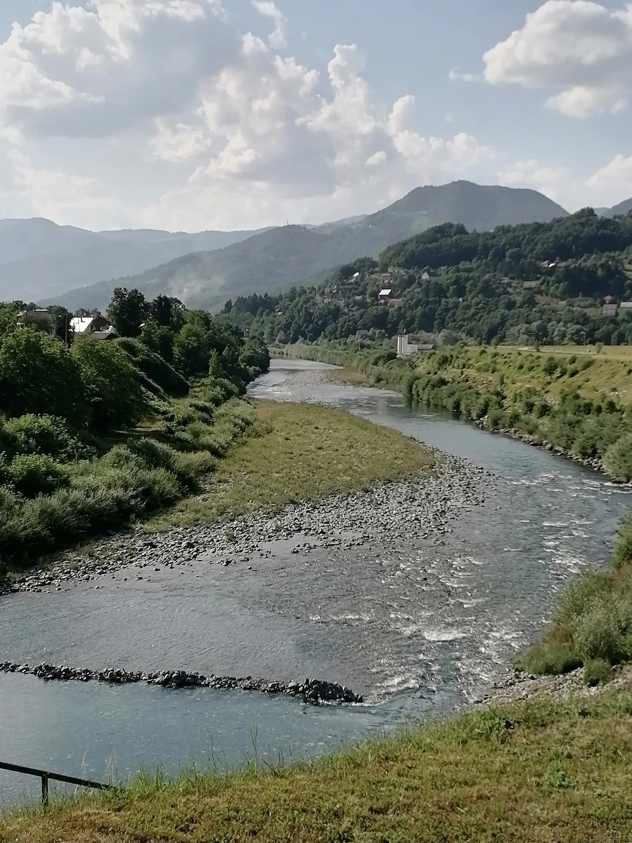
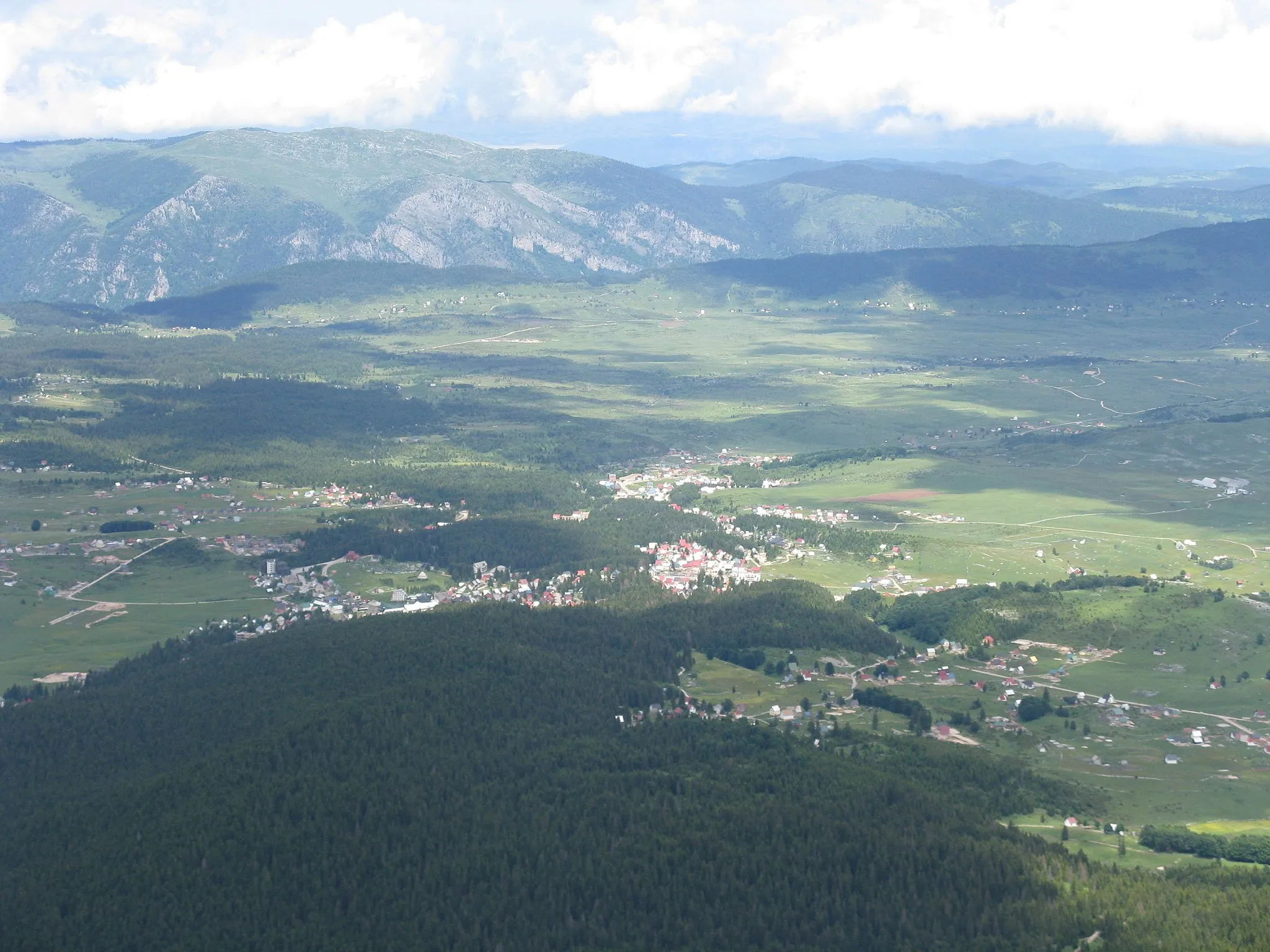
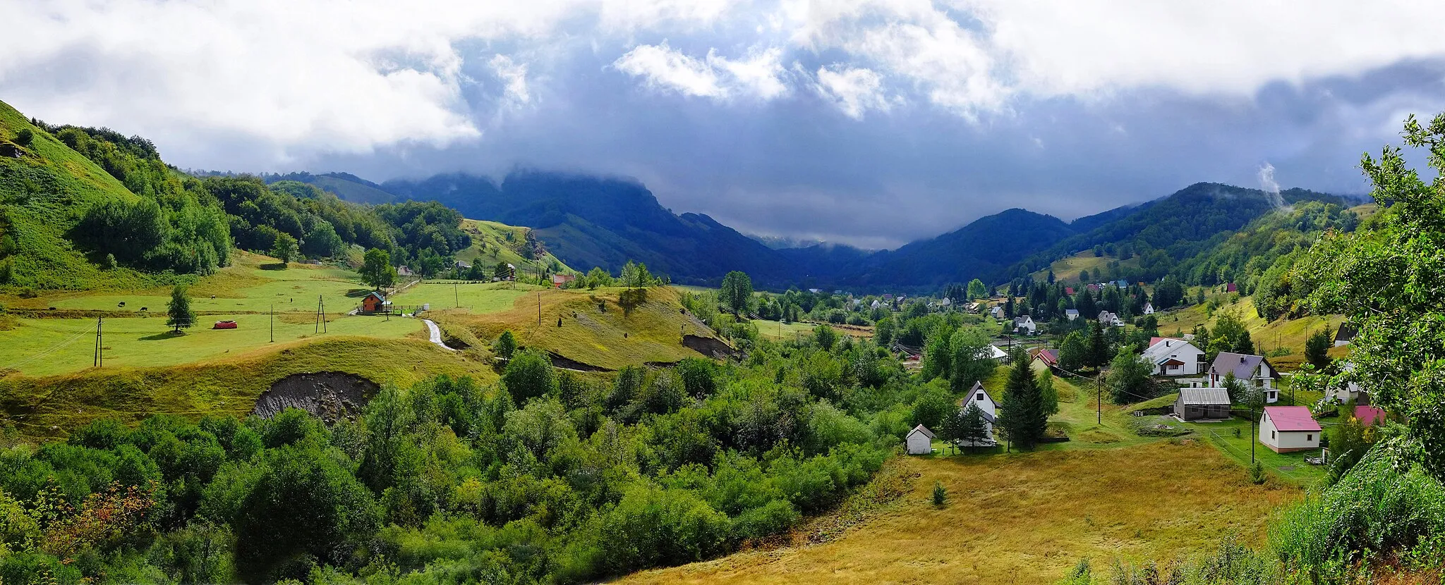
Start: Radigojno Village centerKolašin: A cyclist's dream come true in Montenegro's Kolašin, filled with captivating landscapes and exhilarating terrain.
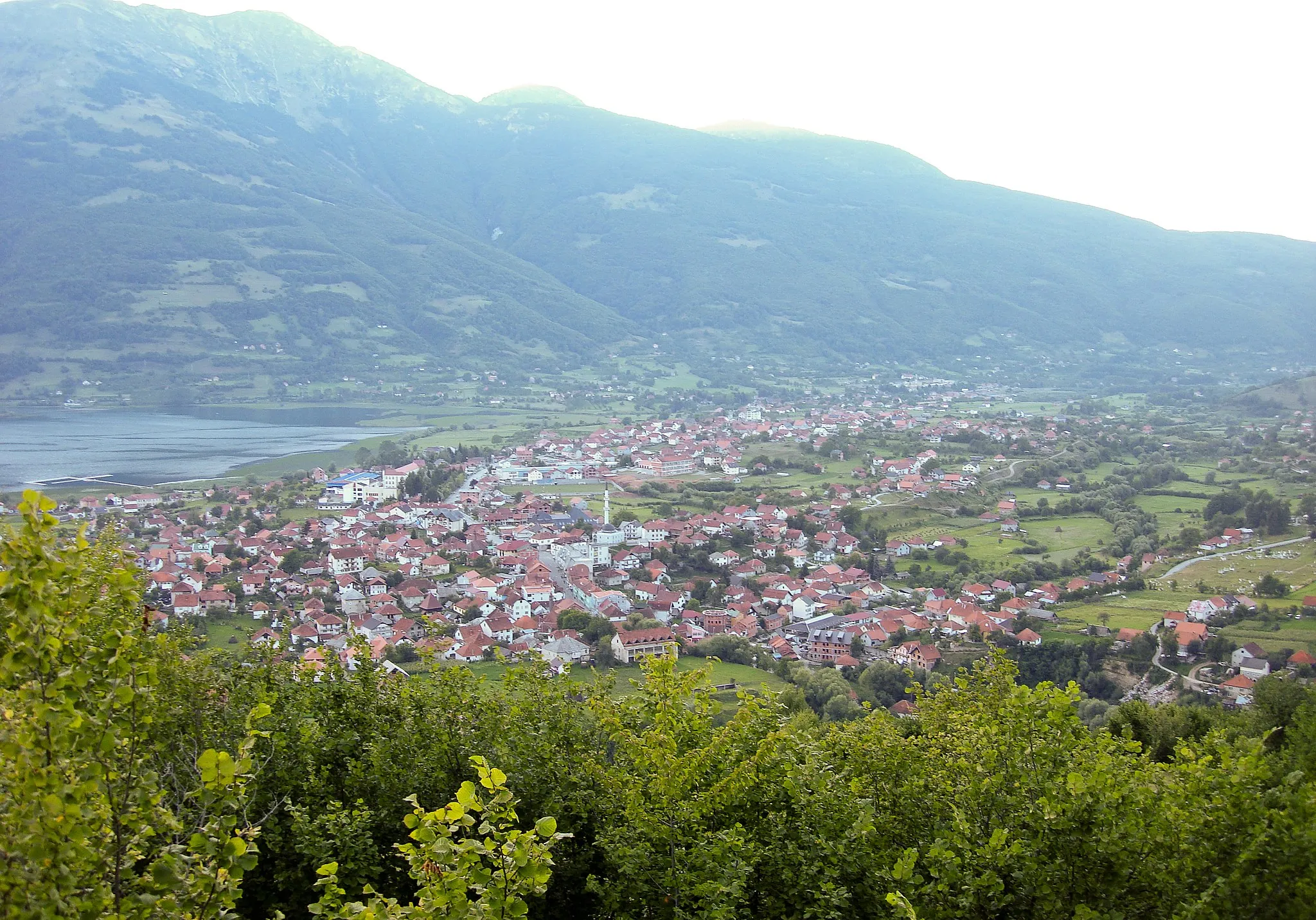
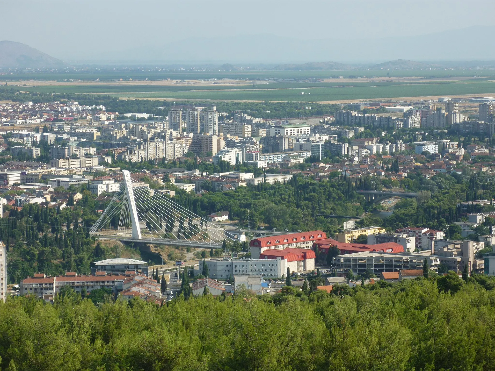
Kolašin, located in Montenegro, is a paradise for cyclists. With its breathtaking landscapes and challenging terrains, Kolašin offers endless possibilities for both road and gravel cycling. One of the highlights for cyclists in this region is the Biogradska Gora National Park, home to stunning forests and exceptional cycling trails. Additionally, cyclists can embark on renowned climbs like Bjelasica and Usorci. Based in Kolašin, cyclists can explore the area's natural beauty, experience thrilling rides in the mountains, and enjoy the relaxed atmosphere of this charming town.2 km
2 km
KolašinTown ViewpointKolašin is a charming town surrounded by snow-capped mountains and lush forests, offering a picturesque setting for cyclists.
29 km
29 km
VerušaVillageVeruša is a small village known for its traditional architecture and hiking trails, providing a tranquil experience along the route.
34 km
34 km
Đebeza1755 mPeakĐebeza is a scenic spot with panoramic views of the surrounding mountains and valleys, creating a serene atmosphere for cyclists.
47 km
47 km
Škuljka1505 mPeakŠkuljka is a popular rest stop for cyclists, offering refreshments and a chance to enjoy the beautiful mountain views.
71 km
71 km
Vršak511 mPeakVršak is the highest point of the route, providing cyclists with a thrilling sense of achievement and breathtaking vistas.
95 km
95 km
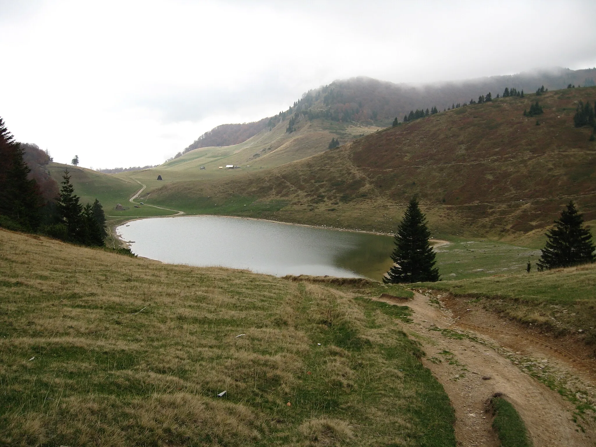
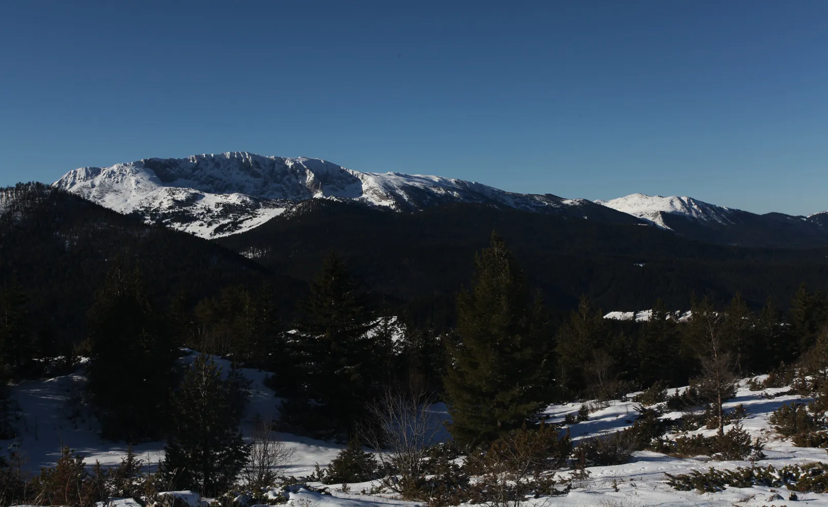
Bijele stijene911 mPeakBijele Stijene is a stunning mountain range with rugged cliffs and diverse flora, making it a must-visit highlight for nature enthusiasts.
107 km
107 km
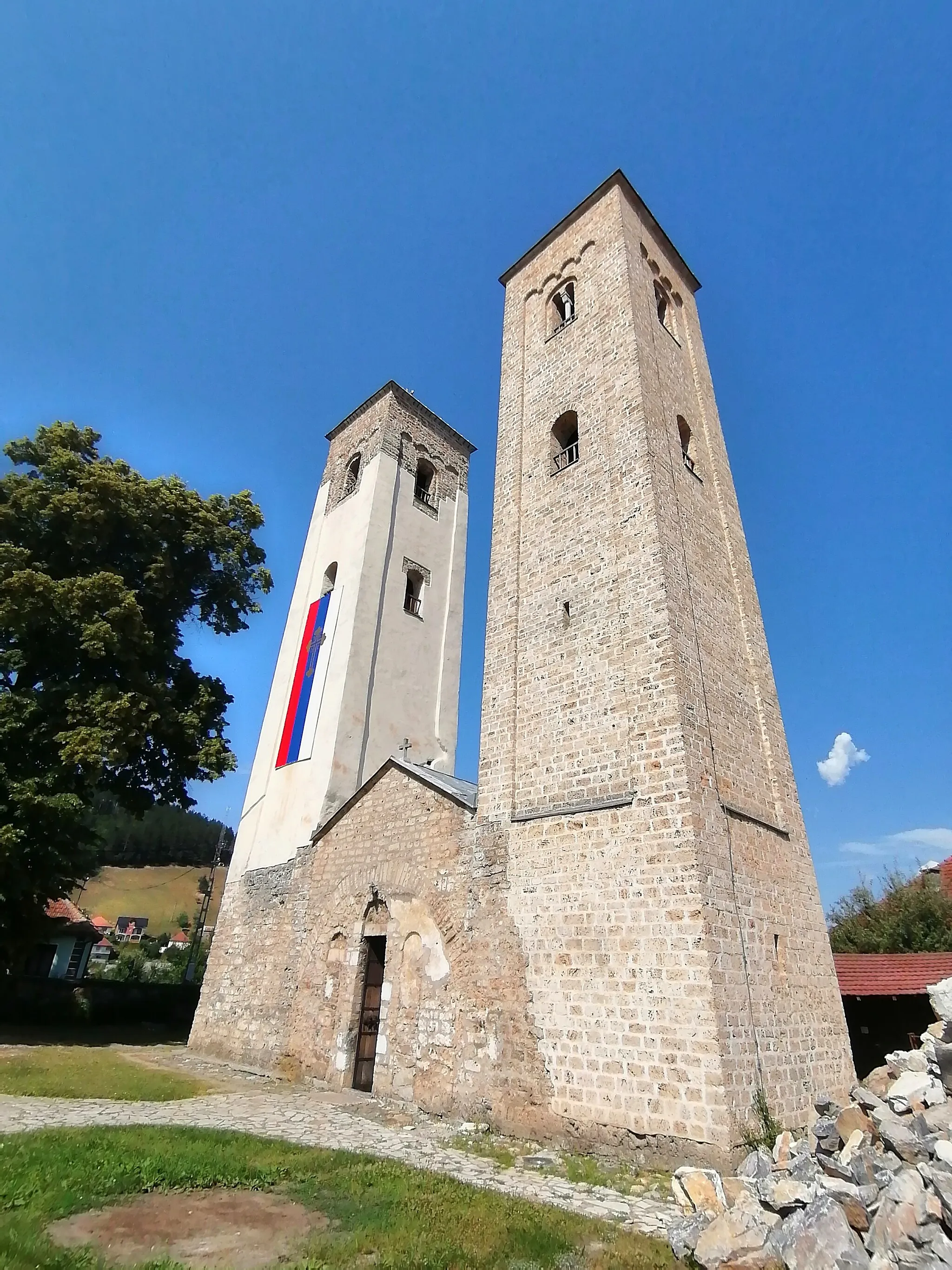
Moracha monasteryAttractionMoracha monastery is a historic site that offers insights into Montenegro's cultural heritage and provides a peaceful setting for contemplation.
131 km
131 km
Bablja greda1102 mPeakBablja greda is a scenic viewpoint that offers panoramic views of the surrounding landscapes, creating a perfect spot for rest and photography.
134 km
134 km
Finish: Radigojno Village centerKolašin: A cyclist's dream come true in Montenegro's Kolašin, filled with captivating landscapes and exhilarating terrain.
Cycling routes nearby: