Almere Stad - Flevopolder - Almere Hout - Almere Stad
A road cycling route starting from Almere Stad
Discover the unique landscape of the Flevopolder and enjoy the tranquility of Almere Hout
Map
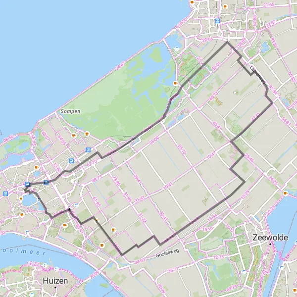
This route takes you through the impressive Flevopolder, the largest polder (land reclaimed from the sea) in the Netherlands. Cycle through vast fields and enjoy the open vistas. Almere Hout provides a peaceful interlude, with its green surroundings and lakes. The route is relatively flat, making it suitable for cyclists of all levels.
road
70 km
35 m
Chill
Route profile
Highlights on the route
0 km
0 km
Start: Almere City centerAlmere Stad: Exploring the well-connected cycling paths of Almere Stad
Almere Stad is a vibrant locality located in Flevoland, Netherlands. From a cyclist's perspective, Almere Stad offers an extensive network of cycling paths and trails, making it a cyclist's paradise. The region's well-planned infrastructure places a strong emphasis on cycling, allowing cyclists to easily navigate through the area. Almere Stad also provides excellent connectivity with neighboring localities, making it convenient for road and gravel cyclists to explore a larger cycling network. The area is home to several annual cycling events, reflecting the strong cycling culture prevalent in Almere Stad.0 km
0 km
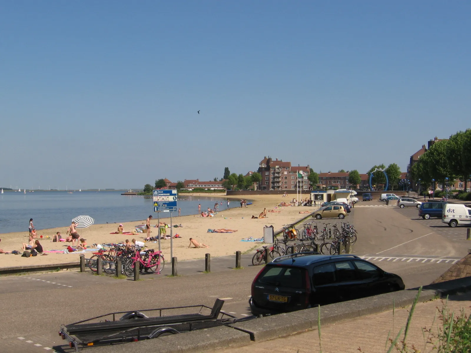
Almere StadSub-urbAlmere Stad is a vibrant city with modern architecture and a bustling city center. After the ride, explore the shopping streets and dine at one of the many restaurants.
34 km
34 km
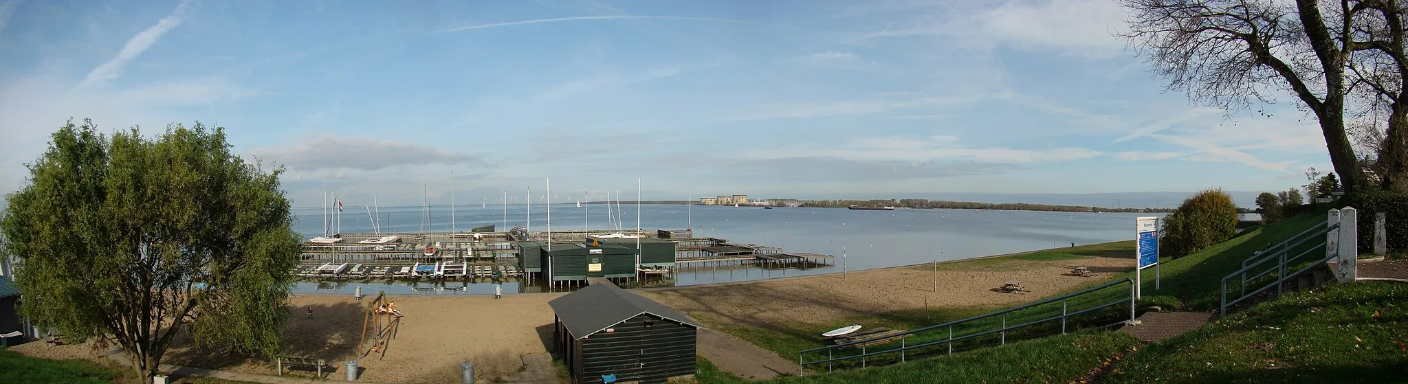
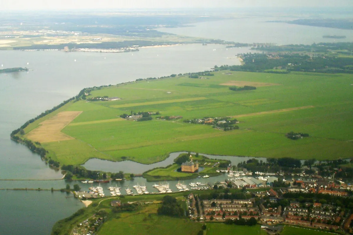
FlevopolderIslandThe Flevopolder is a unique landscape created through land reclamation. Enjoy the wide open spaces and stunning views as you cycle through this man-made land.
61 km
61 km
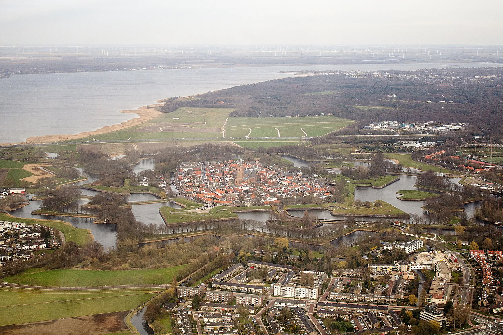
Almere HoutSub-urbAlmere Hout is a recreational area with forests, lakes, and wetlands. Stop for a picnic or take a refreshing swim in one of the lakes.
70 km
70 km
Finish: Almere City centerAlmere Stad: Exploring the well-connected cycling paths of Almere Stad
Cycling routes from Almere Stad:
The Castle Salentein Loop The Gravel Escape Almere Stad - Eemmeer - Soestduinen - Austerlitz - De Heul - De Meern - Loenen aan de Vecht - Nederhorst den Berg - De Machine - Almere Stad Almere Stad - Almere Hout - Eemmeer - Eembrugge - Huis ter Heide - Keienhuisje - Hollandsche Rading - Heksenweitje - Gooimeer - Almere Stad Almere Stad - Steenenkamer - Nijkerkernauw - Eemmeer - Almere Stad Almere Stad - Flevopolder - Almere Hout - Almere Stad The Gravel Rut of Flevoland The Cherry Orchard Gravel Ride Nature's Trail: Almere to Nijkerk Discover the Charms of Nijkerk aan Zee and Eemmeer The Flevopolder Challenge The Great Flevoland Loop
Cycling routes nearby: