Velp Waterberg Round
A road cycling route starting from Velp
A challenging road cycling route from Velp to De Waterberg
Map
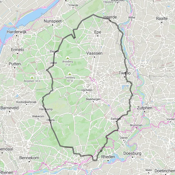
The Velp Waterberg Round is a challenging road cycling route that takes you from Velp to De Waterberg. With a total ascent of 428 meters and a distance of 133 kilometers, this route is suitable for well-trained amateurs. The route passes through various highlights, including the Uitkijktoren Kootwijkerzand, a lookout tower that offers panoramic views of the surrounding landscapes. Heemtuin De Heimanshof is another highlight along the route, where you can explore a beautiful native plant garden. Overall, this route offers a combination of scenic landscapes and cultural attractions.
road
133 km
428 m
Tough
Route profile
Highlights on the route
0 km
0 km
Start: Velp City centerVelp: Scenic cycling through forests and meadows
Velp is a town located in the Gelderland region of the Netherlands. It offers diverse cycling routes that wind through beautiful forests, peaceful meadows, and charming villages. The area is known for its mix of flat terrain and gentle climbs, suitable for cyclists of all abilities. One popular cycling spot nearby is the Posbank, a natural area with scenic landscapes and challenging hills. With its picturesque routes and cycling-friendly atmosphere, Velp is a great choice for both road and gravel cyclists.5 km
5 km
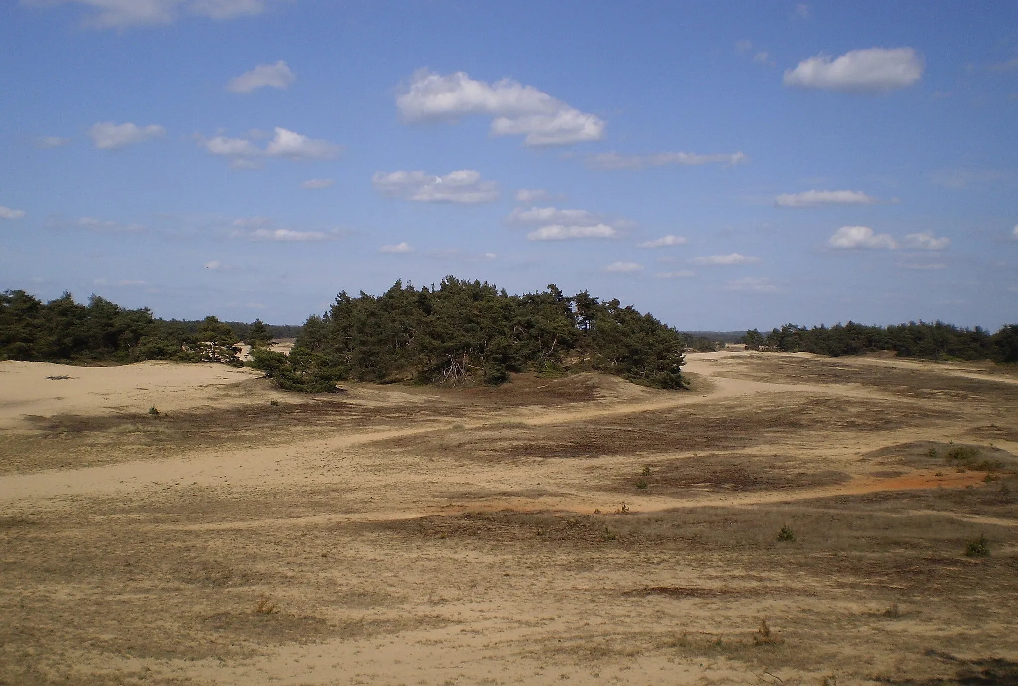
De Waterberg68 mPeakDe Waterberg is a nature reserve located near the village of Velp. It is known for its heathlands, sand dunes, and forests, offering stunning scenic beauty.
15 km
15 km
Oud-ReemstHamletOud-Reemst is a small village that offers a peaceful and charming atmosphere. It is surrounded by beautiful meadows and streams, making it a perfect spot for relaxation.
26 km
26 km
HarskampVillageHarskamp is a village known for its dairy farming and agricultural activities. The route passes through the scenic countryside surrounding the village, offering picturesque views.
32 km
32 km
Uitkijktoren KootwijkerzandViewpointUitkijktoren Kootwijkerzand is a lookout tower located in the Kootwijkerzand nature reserve. It offers panoramic views of the sand dunes and heathlands, giving you a unique perspective of the area.
53 km
53 km
Heemtuin De HeimanshofViewpointHeemtuin De Heimanshof is a native plant garden that showcases the diverse flora of the region. It is a great place to learn about the local plants and their ecological importance.
54 km
54 km
VierhoutenVillageVierhouten is a charming village located in the Veluwe region. It is surrounded by dense forests, making it a popular destination for nature lovers and outdoor enthusiasts.
73 km
73 km
BakhuisbosHamletBakhuisbos is a small forest with beautiful walking trails. It offers tranquility and serenity, making it a peaceful spot to relax and enjoy nature.
78 km
78 km
de Oude IJsselloopViewpointDe Oude IJsselloop is a river loop that offers scenic views of the IJssel River. It is a peaceful and picturesque area, perfect for a leisurely ride.
98 km
98 km
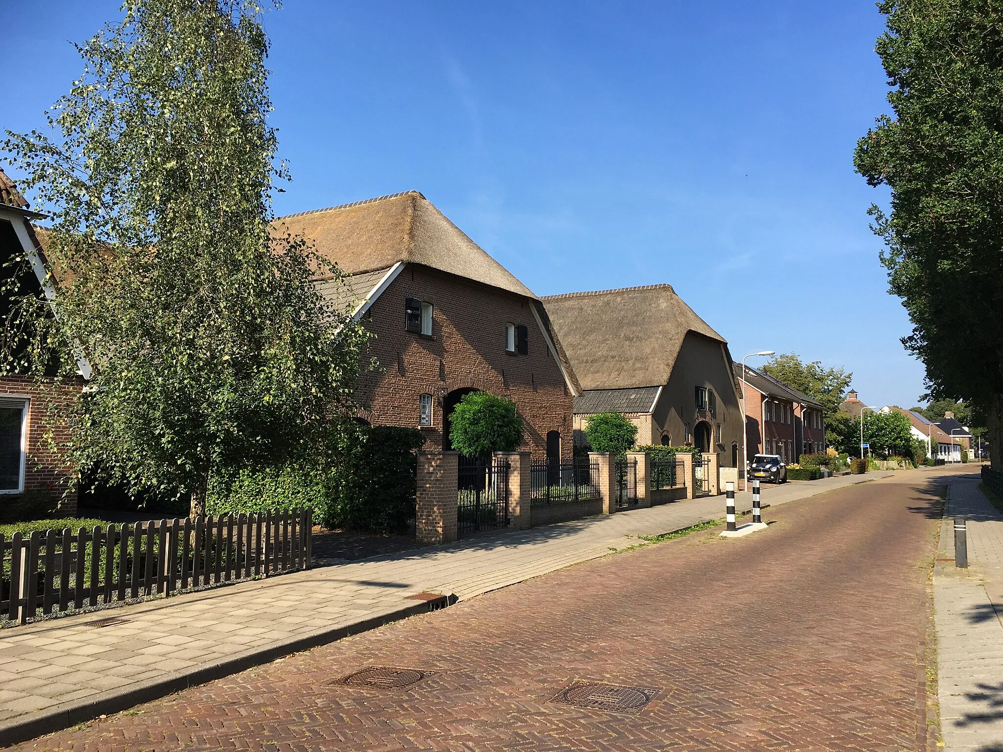
PosterenkVillagePosterenk is a small village with traditional Dutch architecture. The route passes through this charming village, giving you a glimpse of local rural life.
118 km
118 km
Laag-SoerenVillageLaag-Soeren is a scenic village located in the Veluwe region. It is surrounded by lush forests and rolling hills, offering beautiful views at every turn.
128 km
128 km
Zijpenberg106 mPeak ViewpointZijpenberg is a hill located in the Veluwezoom National Park. It offers a challenging climb, rewarding cyclists with breathtaking views from the top.
129 km
129 km
Ruïne HerikhuizenCastle RuinsRuïne Herikhuizen is the remains of a medieval castle. It is located in the IJsselvallei region and provides a glimpse into the history of the area.
133 km
133 km
Finish: Velp City centerVelp: Scenic cycling through forests and meadows
Cycling routes nearby: