The Astonishing Loobrink Adventure
A gravel cycling route starting from Wapenveld
Embark on an exhilarating gravel ride through the enchanting Loobrink region
Map
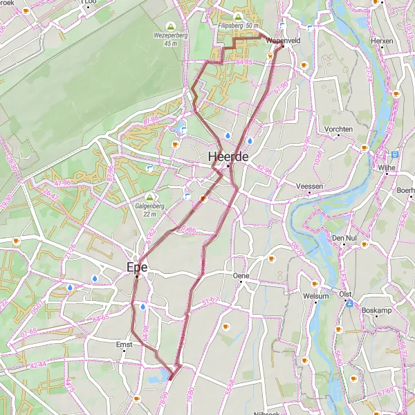
Indulge in the awe-inspiring beauty of Loobrink as you pedal across challenging terrains and discover hidden gems along the way. This route is moderately difficult, suitable for experienced amateurs seeking a thrilling cycling experience. With its captivating landscapes and surprising highlights, it earns an epicness score of 4.
gravel
37 km
53 m
Tough
Route profile
Highlights on the route
0 km
0 km
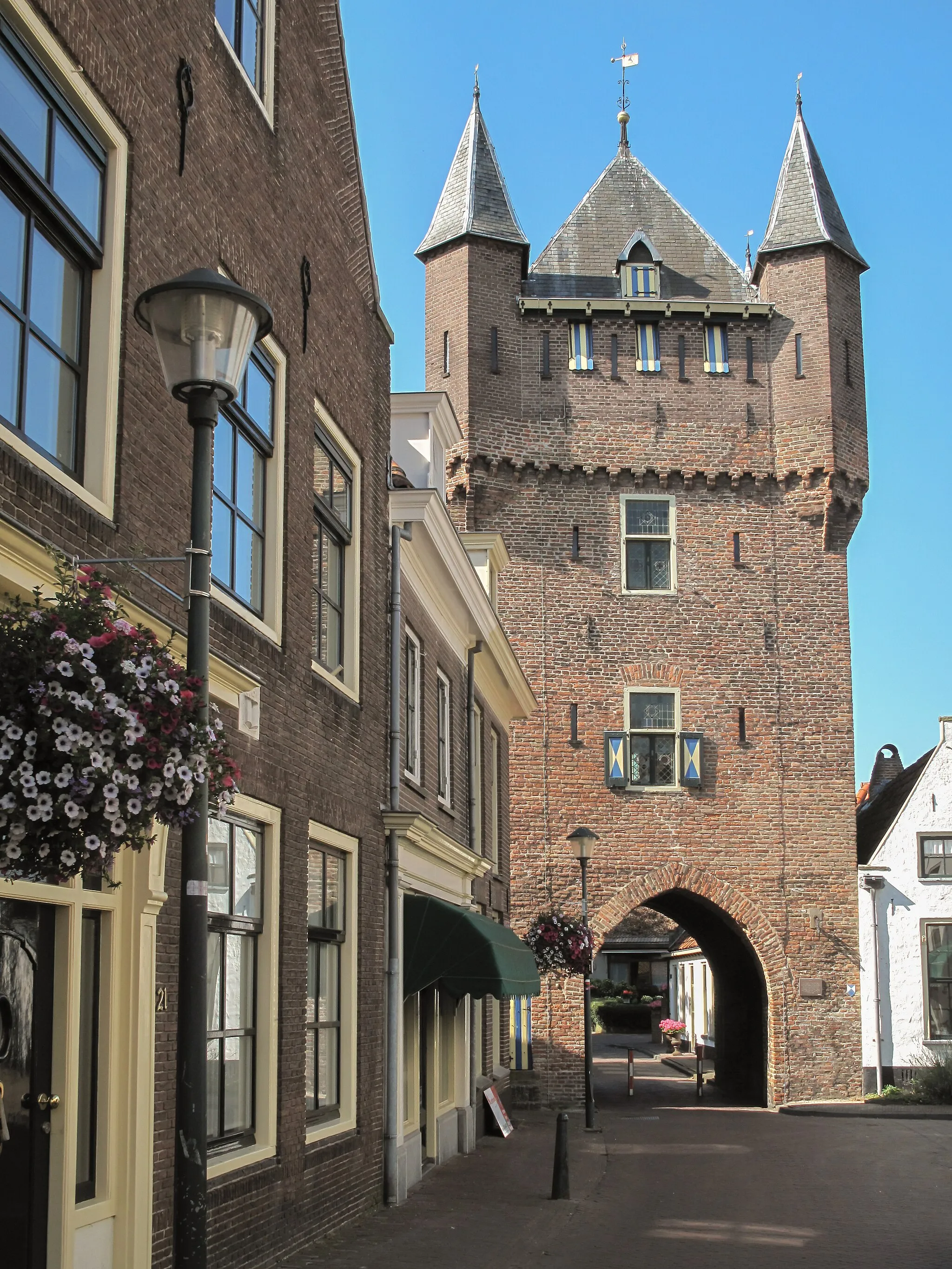
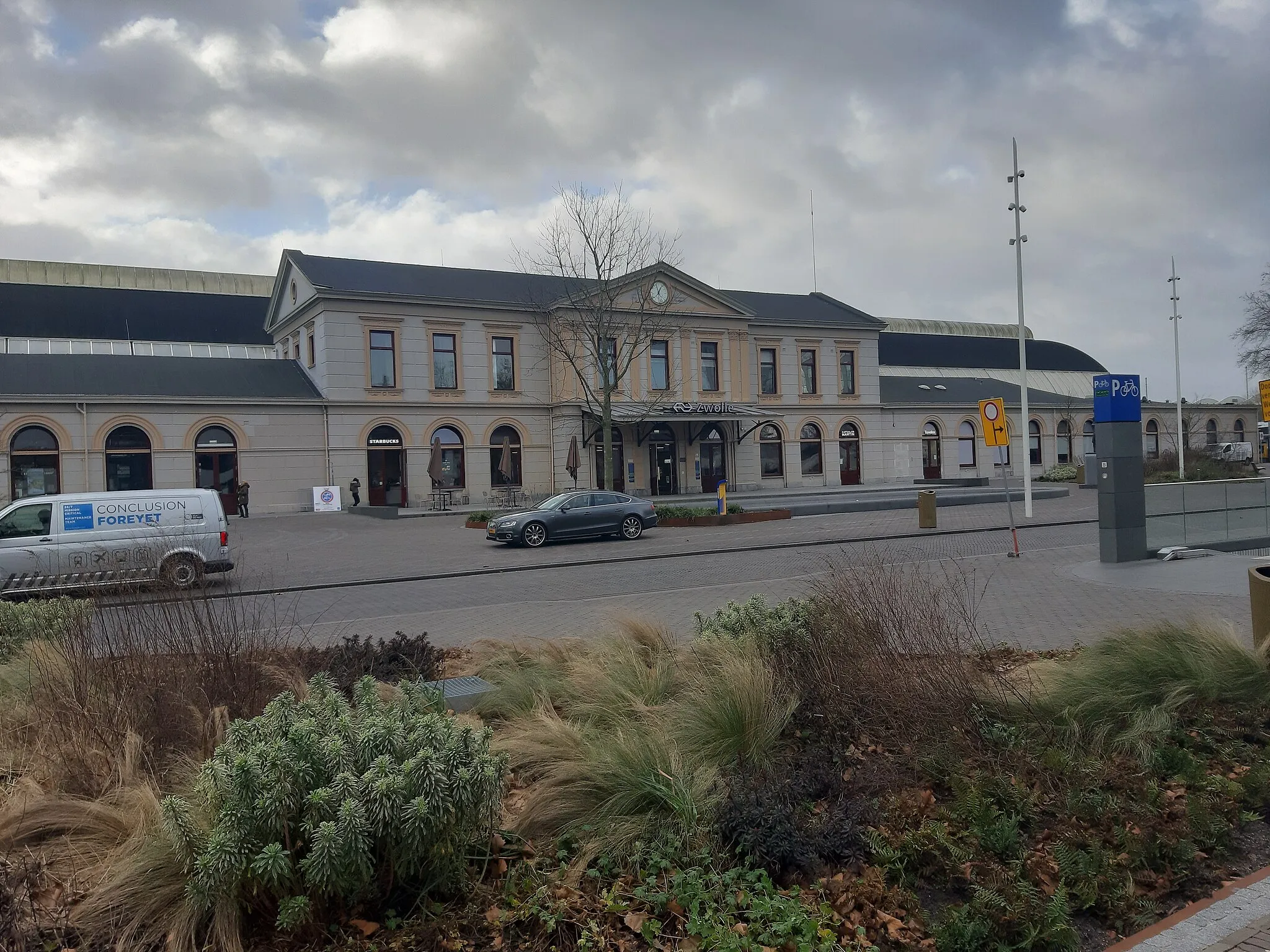
Start: Wapenveld Village centerWapenveld: Exploring Nature on Two Wheels in Gelderland
Wapenveld is a town in Gelderland, Netherlands. It offers cycling options mainly suited for leisurely rides and exploration of the surrounding countryside. The region is known for its beautiful nature reserves and forests, providing a peaceful environment for cycling. While Wapenveld may not offer famous climbs or rigorous routes, it is perfect for cyclists looking for a laid-back cycling experience.17 km
17 km
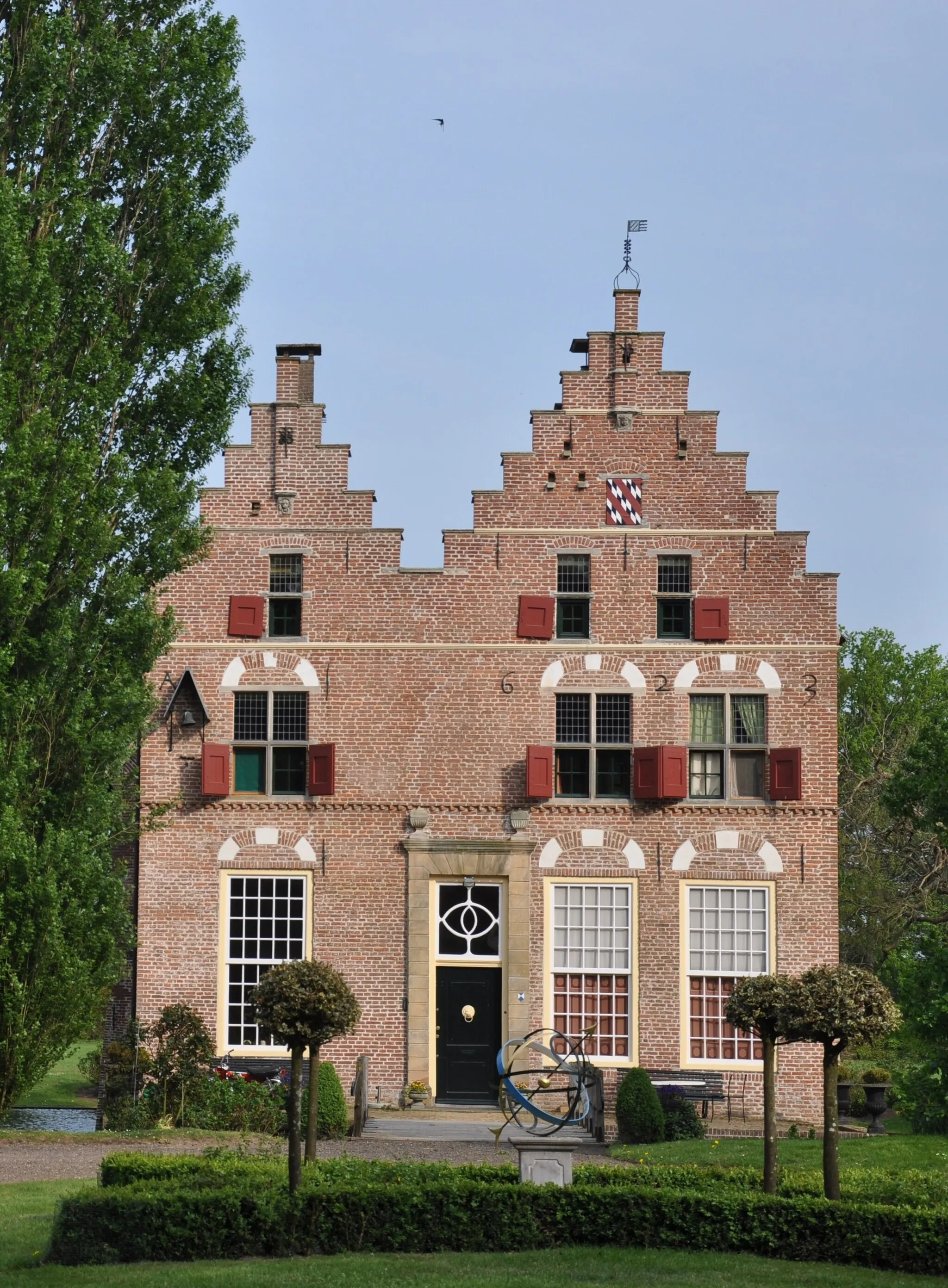
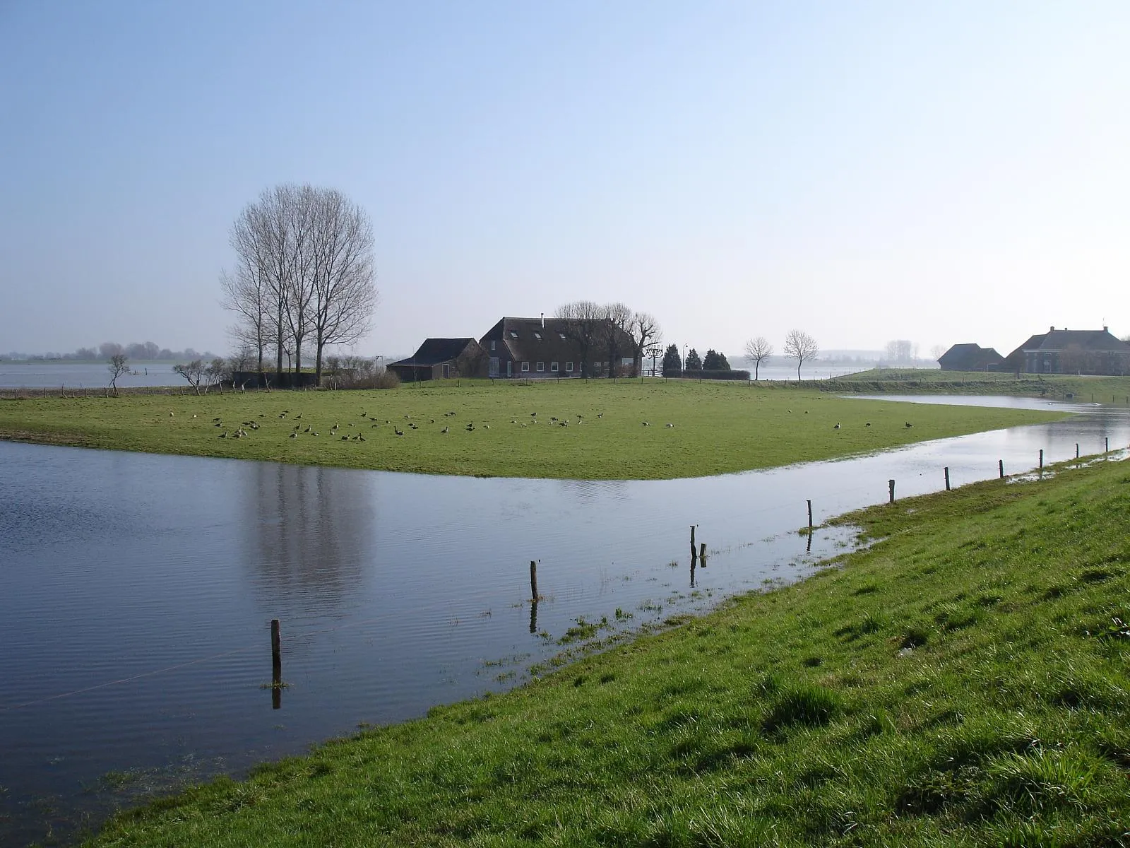
LoobrinkHamletExplore Loobrink and its captivating countryside, characterized by rolling hills and lush greenery.
35 km
35 km
Filipsberg50 mPeakFilipsberg offers stunning panoramic views of the surrounding landscape, making it a perfect spot for nature lovers.
37 km
37 km
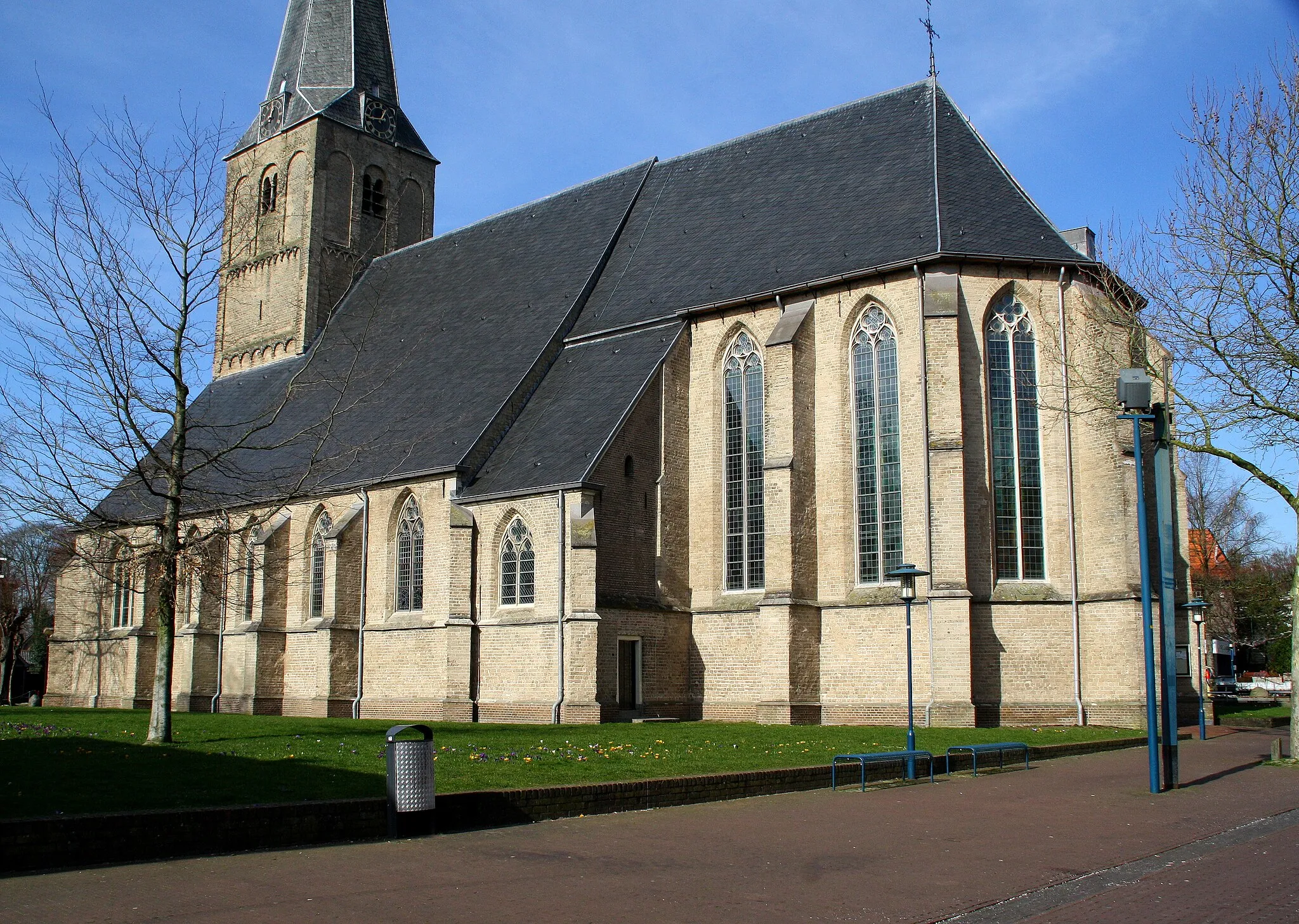
WapenveldVillageWapenveld is a charming village with vibrant markets and local craftsmanship.
37 km
37 km
Finish: Wapenveld Village centerWapenveld: Exploring Nature on Two Wheels in Gelderland
Cycling routes nearby: