Ascend the Limburg Hills
A road cycling route starting from Voerendaal
Experience the challenging hills and stunning views in Limburg
Map

Embark on a scenic cycling adventure in Limburg, known for its challenging hills and breathtaking views. This route takes you through diverse landscapes, from lush green fields to picturesque villages. Prepare to conquer several impressive climbs and enjoy the rewarding downhill descents. The Limburg region is a popular destination for cycling enthusiasts, offering a mix of beautiful nature, rich history, and charming towns to explore. Don't forget to stop and admire the panoramic vistas from various viewpoints along the way.
road
84 km
429 m
Tough
Route profile
Highlights on the route
0 km
0 km
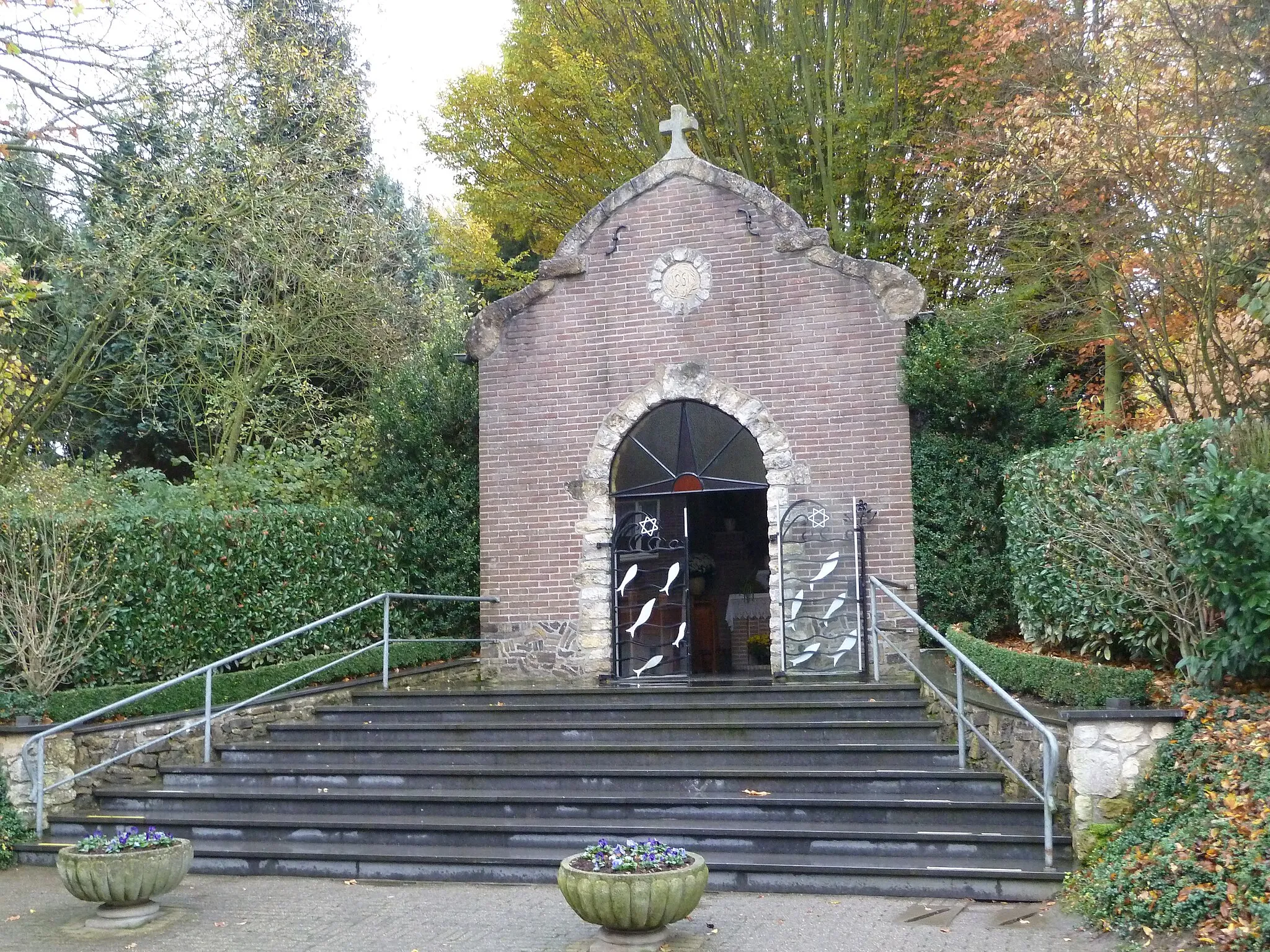
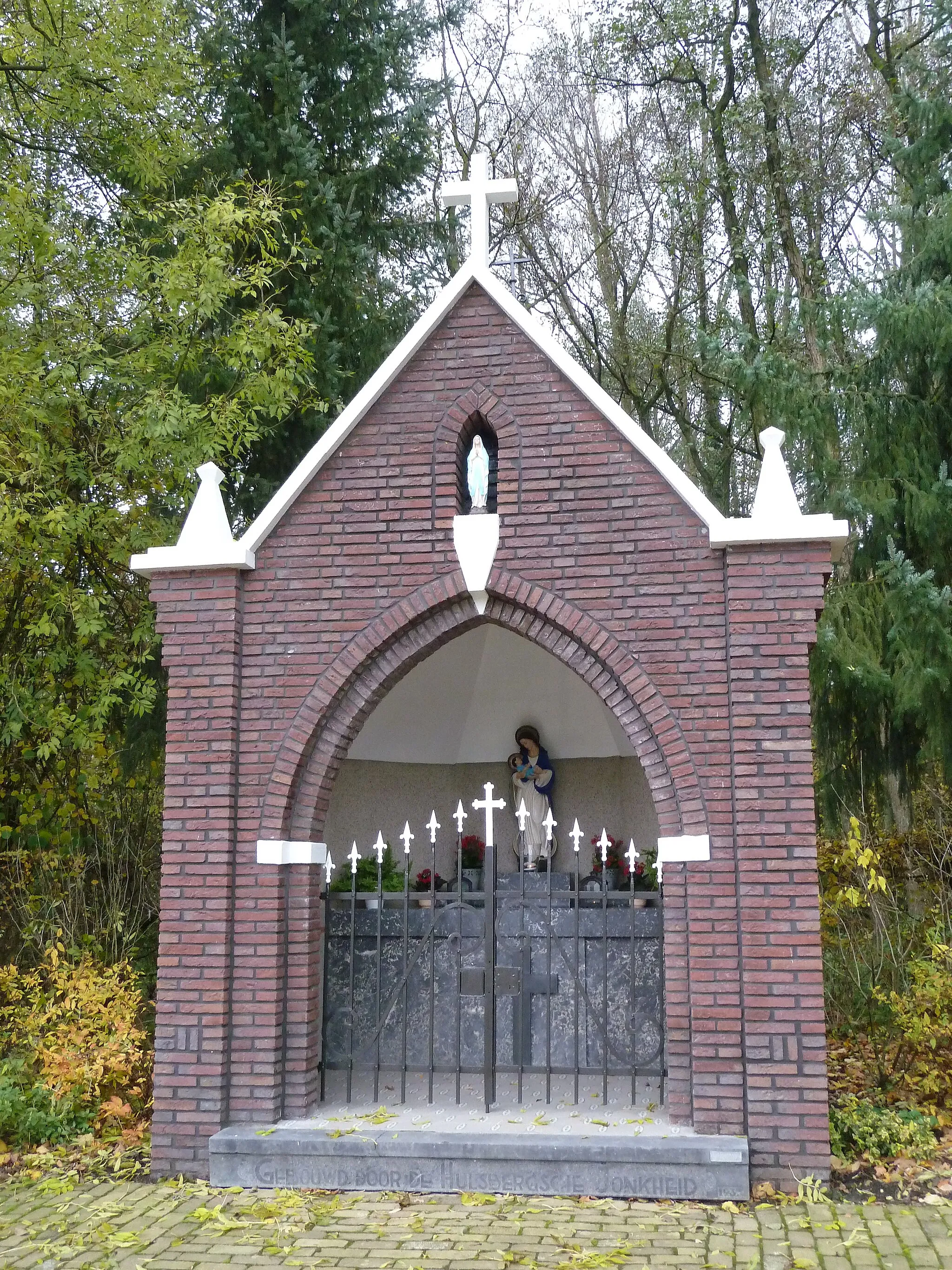
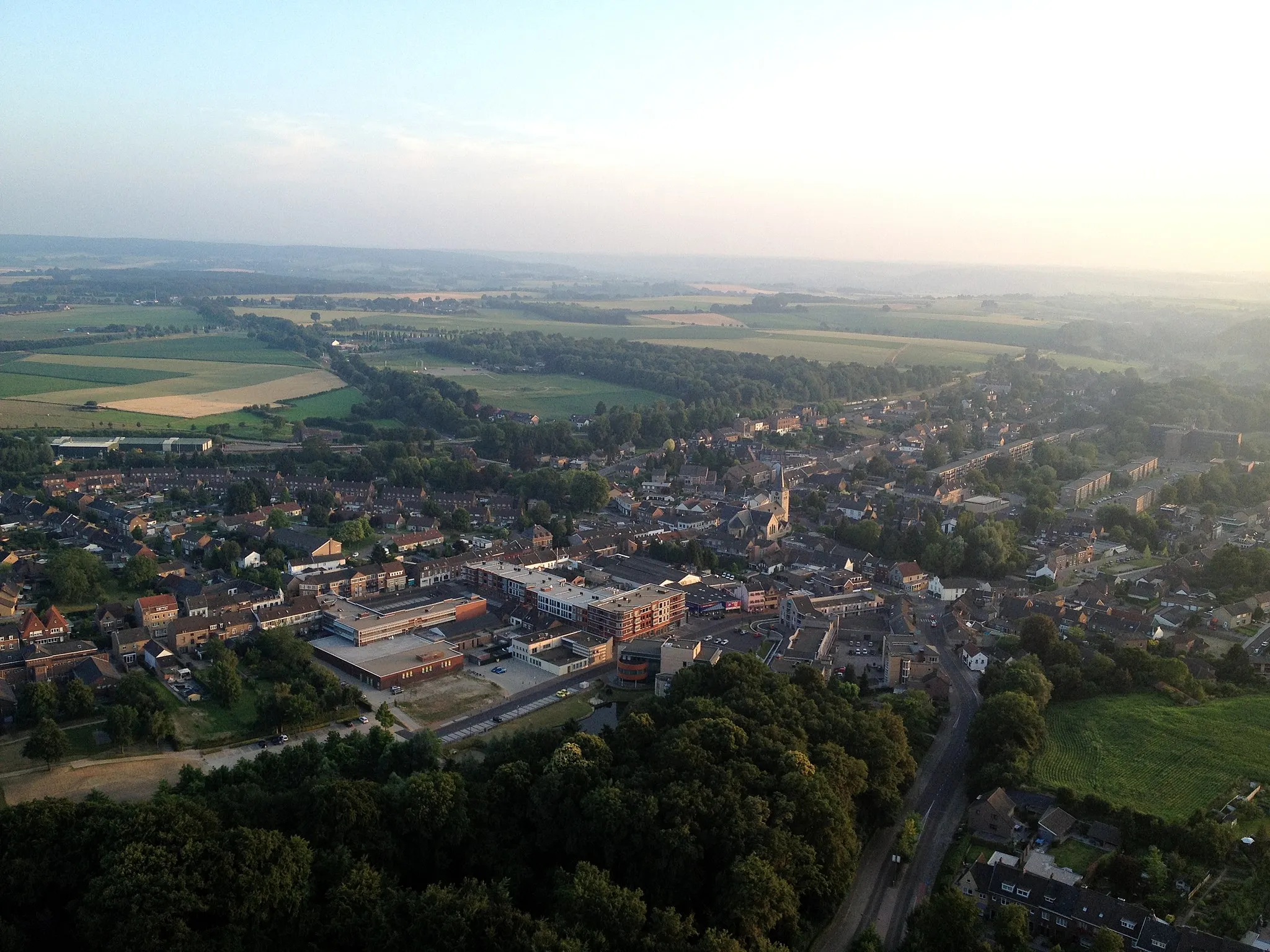
Start: Voerendaal Village centerVoerendaal: Cycling Oasis amid Serene Countryside
Voerendaal, located in Limburg in the Netherlands, is an idyllic place for road and gravel cyclists. Surrounded by undulating hills and charming countryside, the locality provides breathtaking views and challenging routes for riders. The region offers a perfect blend of peaceful tranquility and exhilarating climbs. Cyclists can challenge themselves on the Cauberg, a famous climb often featured in professional races, or explore the surrounding picturesque landscapes dotted with quaint Dutch villages.4 km
4 km
KoningsbeemdHamletKoningsbeemd offers a tranquil spot to rest and enjoy the peaceful surroundings.
7 km
7 km
Uitzichtpunt BeaujeanViewpointUitzichtpunt Beaujean provides a stunning view over the rolling hills of Limburg.
17 km
17 km
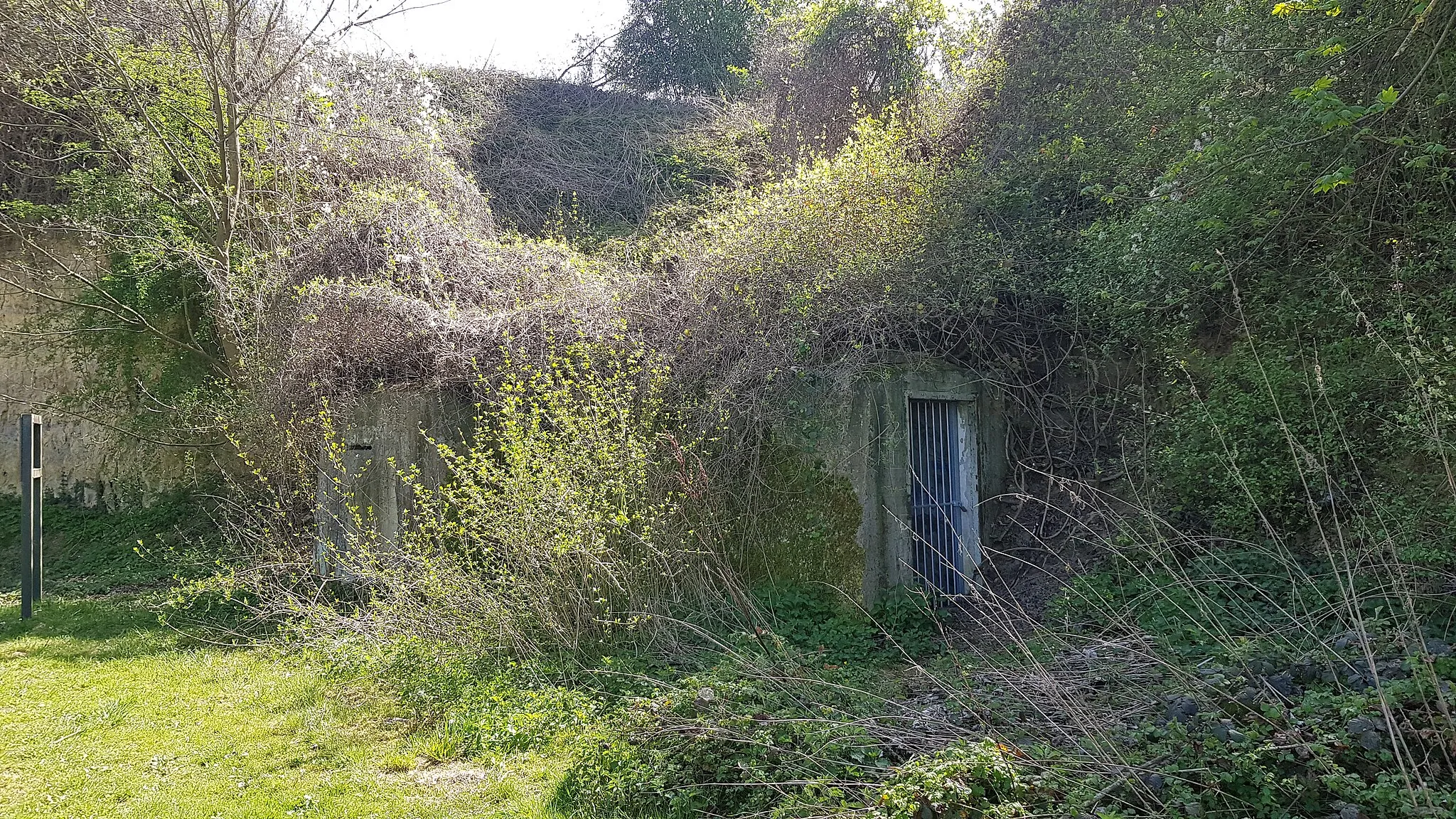
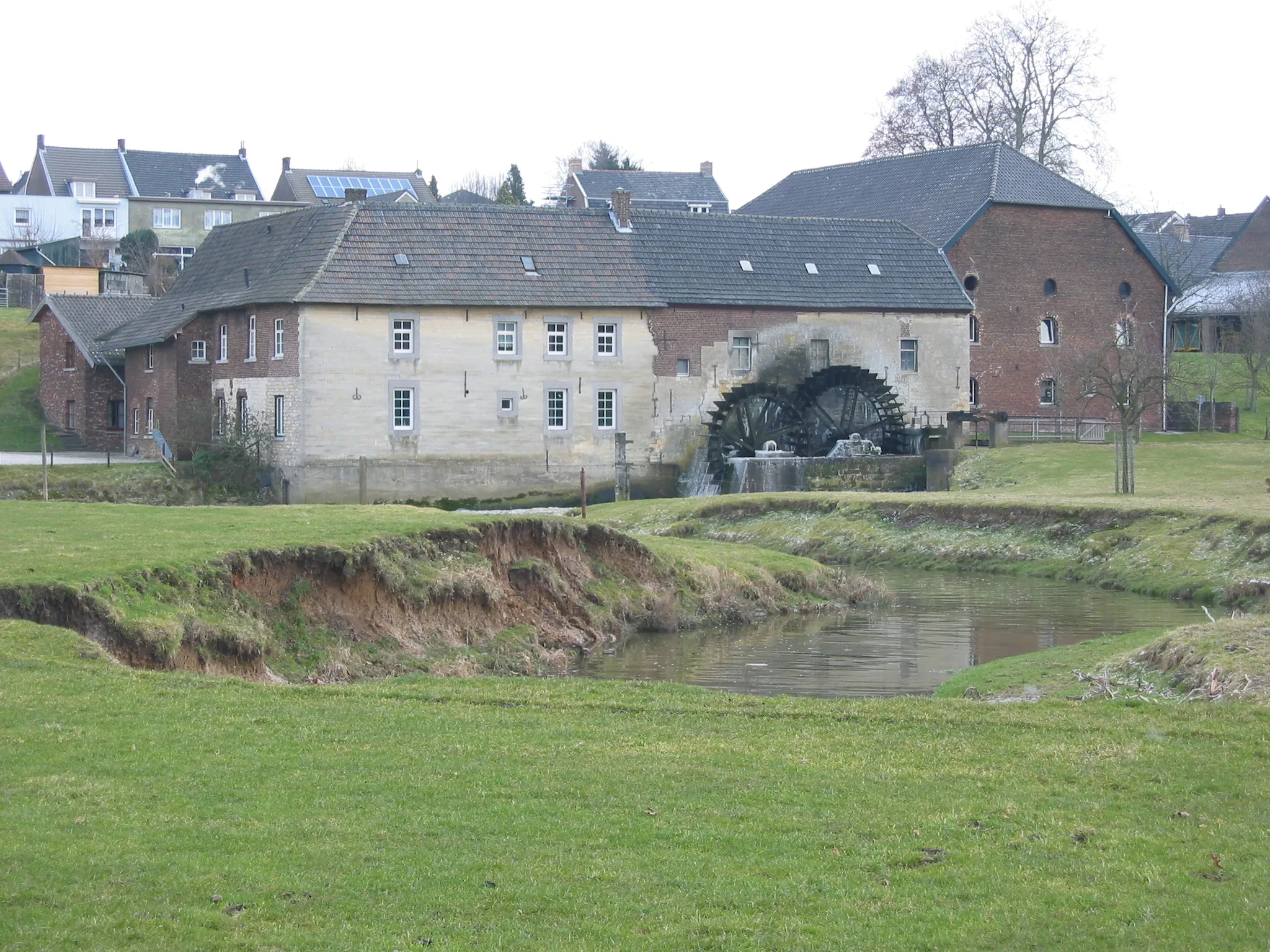
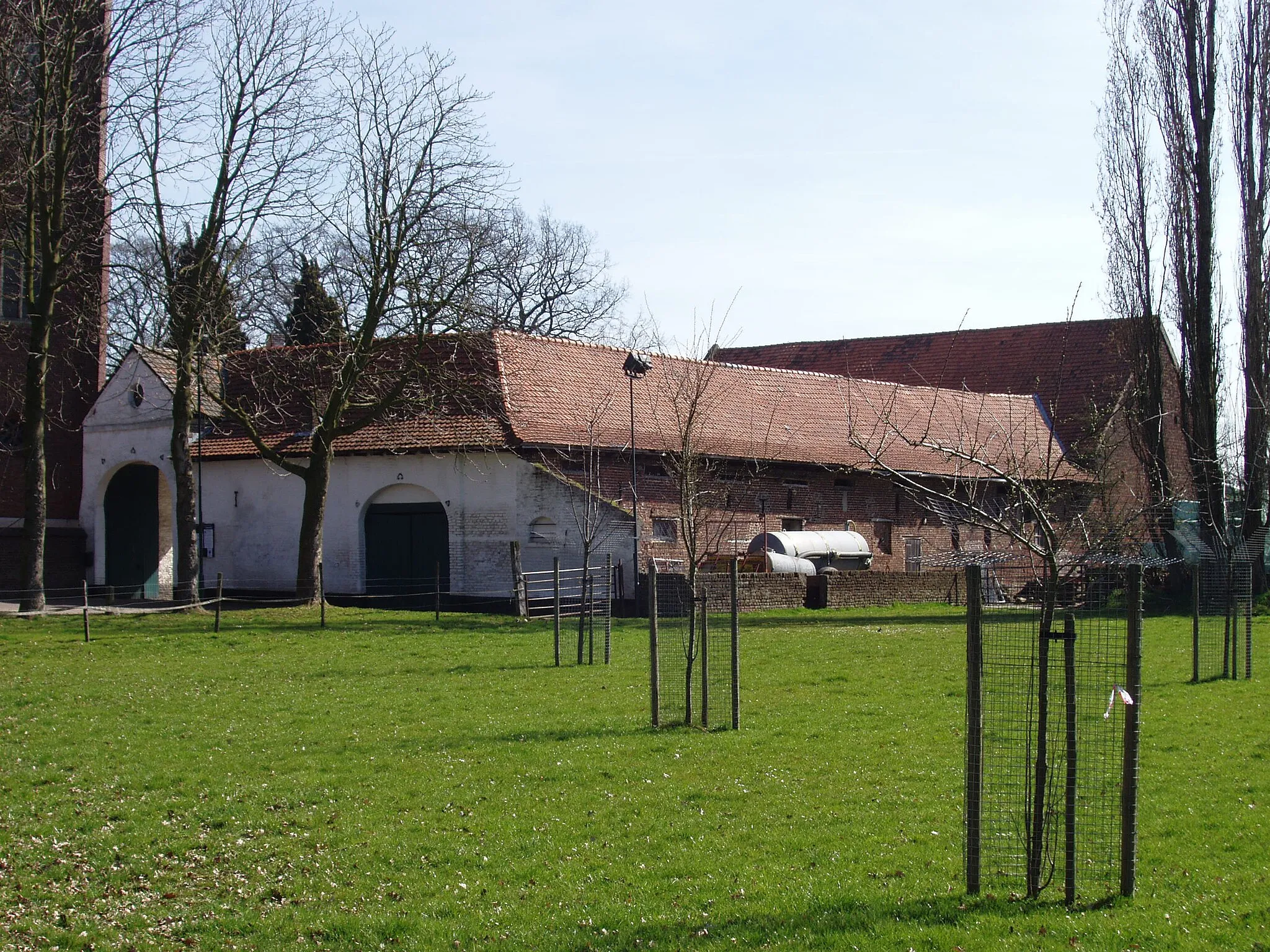
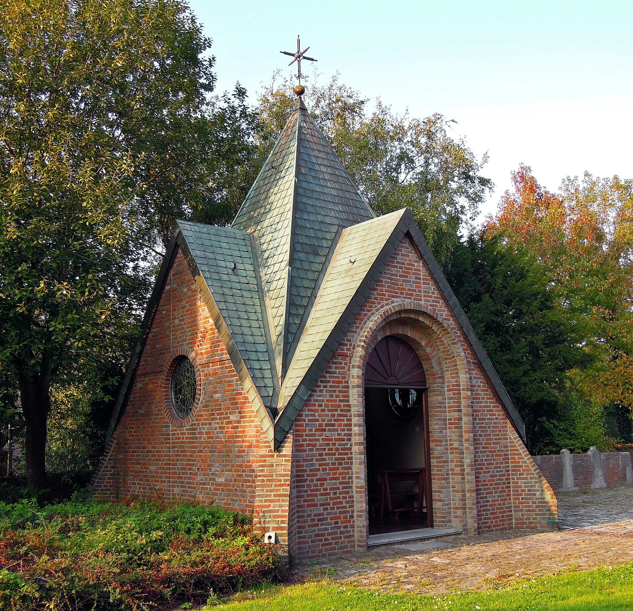
Op den HeringHamletOp den Hering is a historical site with ruins dating back to the Middle Ages, offering a glimpse into the region's past.
31 km
31 km
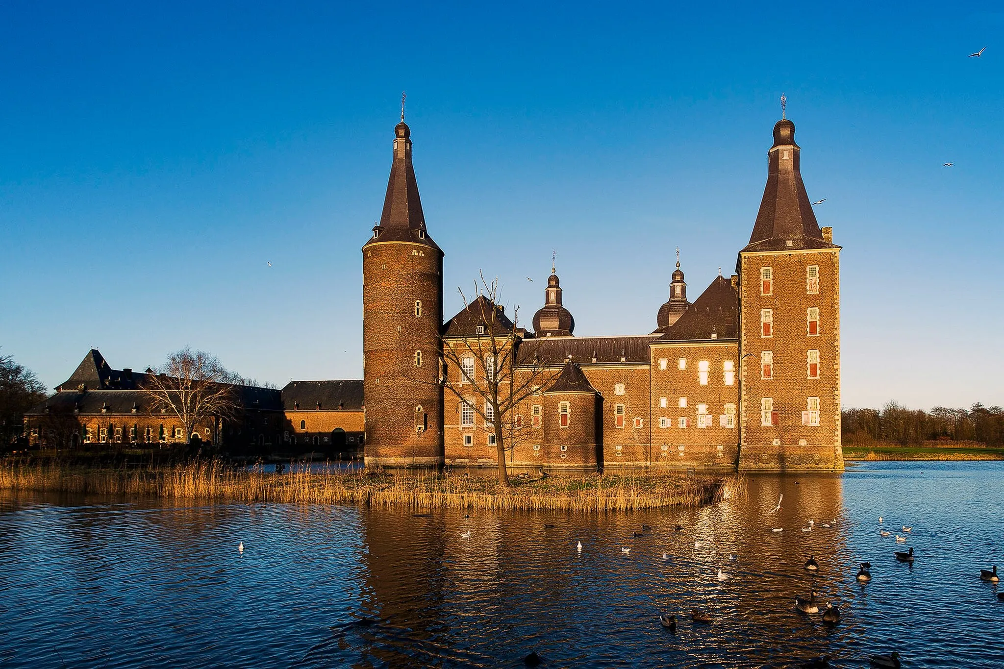
Wasser.Blick 25 - AdolfoseeViewpointWasser.Blick 25 - Adolfosee is a picturesque lake with impressive water views.
54 km
54 km
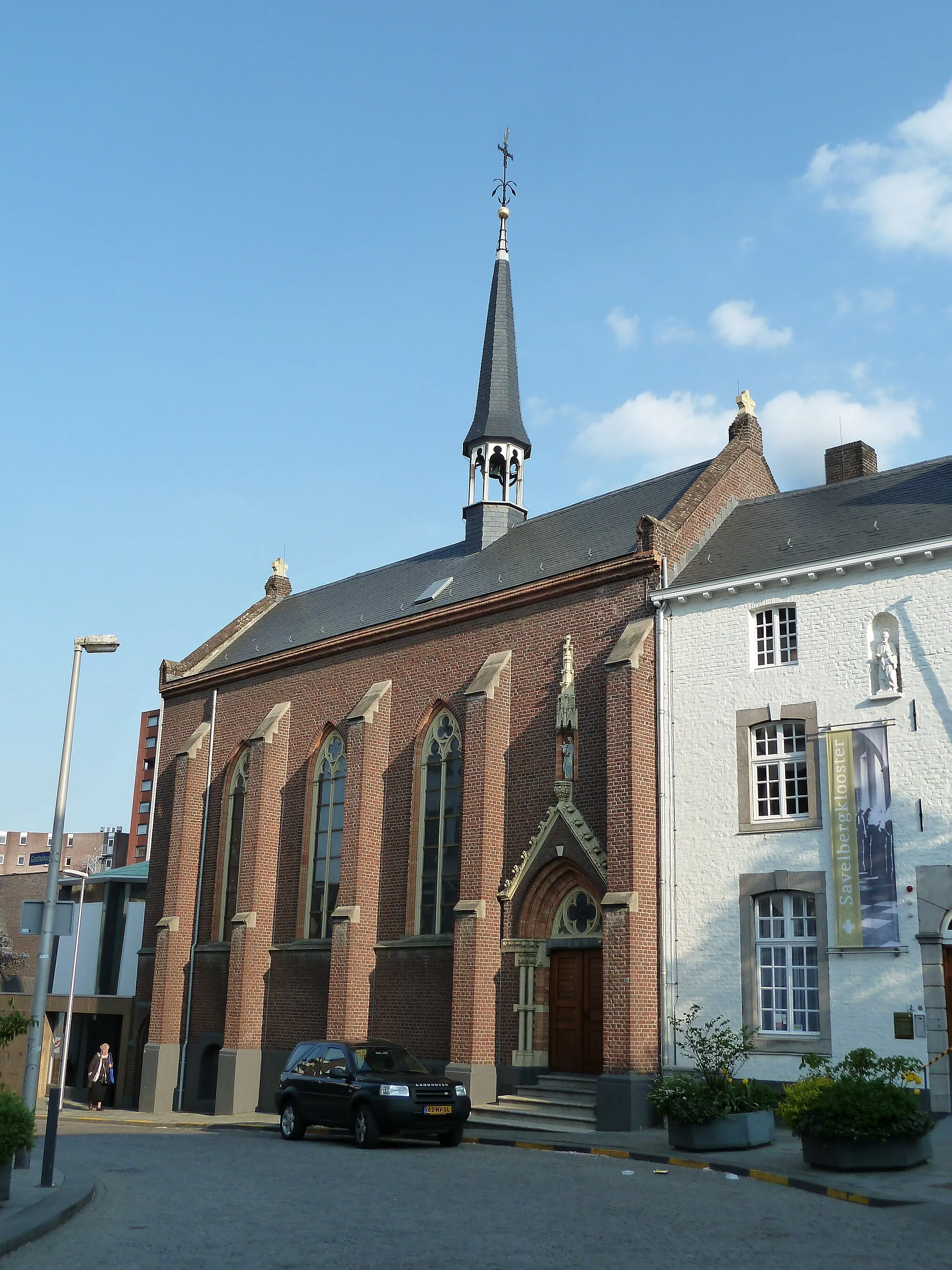
SetterichSub-urbSetterich is a charming village with traditional architecture and cozy cafes.
63 km
63 km
Bergehalde Anna I246 mPeakBergehalde Anna I is a former mining site turned into a lookout hill, providing panoramic vistas of the surrounding area.
83 km
83 km
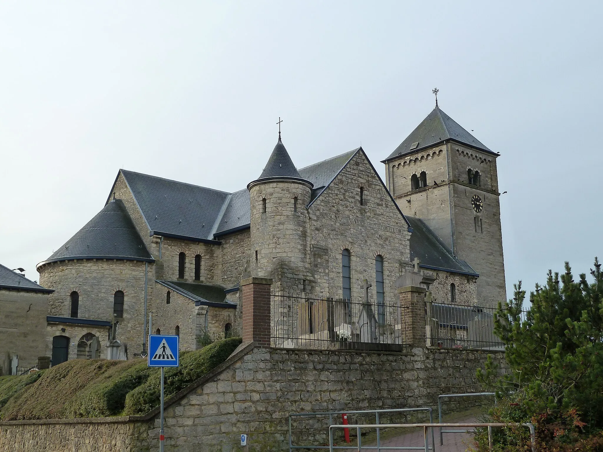
KunradeVillageKunrade is a picturesque village with ancient buildings and a peaceful ambiance.
84 km
84 km
Finish: Voerendaal Village centerVoerendaal: Cycling Oasis amid Serene Countryside
Cycling routes from Voerendaal:
Gravel Route - Voerendaal to Hunnecum Gravel Route - Voerendaal to Lubosch Gravel Route - Exploring the Scenic Routes of Voerendaal Gravel Route - Exploring Voerendaal and Surroundings Exploring the Maas Valley Challenging Climbs and Beautiful Valleys Hilltops and Panoramic Views Unleash Your Adventurous Soul Road Route - Voerendaal to Mingersborg Ascend the Limburg Hills
Cycling routes nearby: