Vianen and Surroundings
A road cycling route starting from Vianen
A scenic cycling route near Vianen
Map

Explore the beautiful landscapes and historic towns around Vianen on this road cycling route. With a total distance of 93 km and an elevation gain of 114 meters, this route offers a pleasant challenge for well-trained amateurs. Immerse yourself in the countryside and discover highlights such as Alendorp, the Observatorium, Hilversum, the HAWK (lanceer)heuvel, Zeist, Ossenwaard, and Vianen.
road
93 km
114 m
Tough
Route profile
Highlights on the route
0 km
0 km
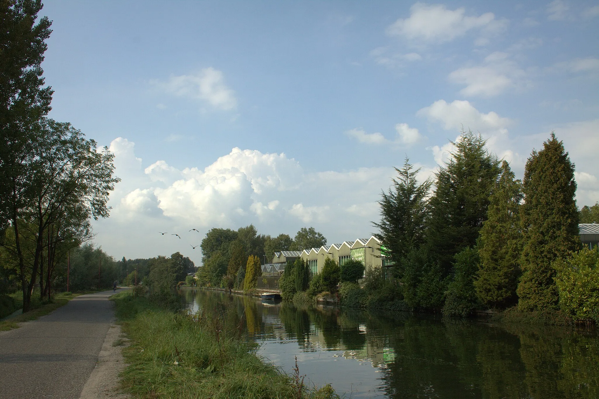
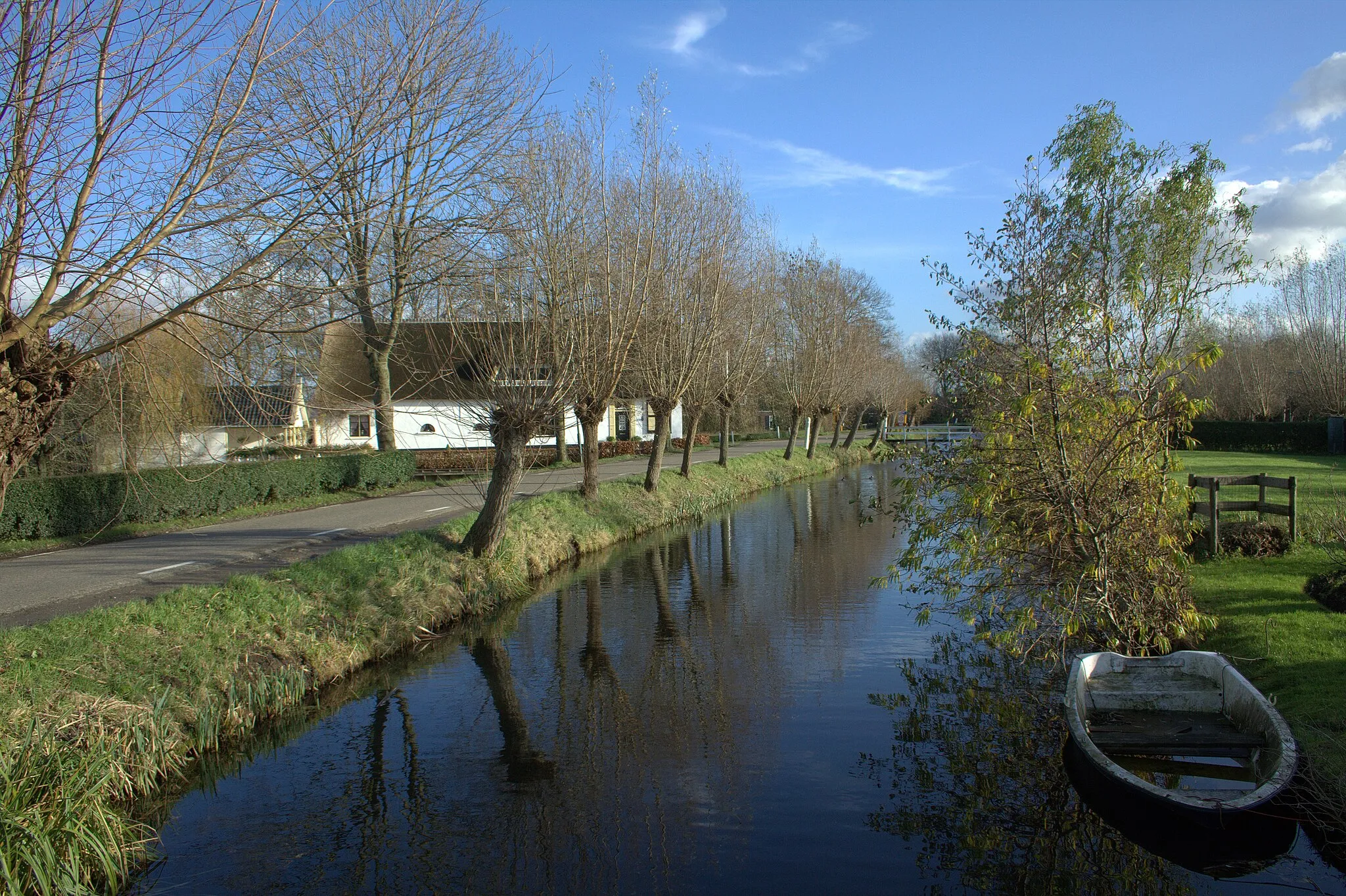
Start: Vianen City centerVianen: Cycling haven in Utrecht
Vianen, located in the Utrecht region of the Netherlands, offers pleasant cycling experiences for both road and gravel cyclists. The area boasts well-maintained roads with minimal traffic, allowing cyclists to enjoy smooth and enjoyable rides. Additionally, Vianen is situated near the river Lek, providing scenic and charming cycling routes along its banks. For road cyclists looking for a challenging climb, the iconic Lekuwendenstein is just a short distance away from Vianen. With its attractive landscapes and cycling-friendly streets, Vianen is a great choice for cyclists.15 km
15 km
AlendorpHamletAlendorp is a charming village located in a picturesque countryside. Take a break and enjoy the tranquility of this hidden gem.
16 km
16 km
ObservatoriumViewpointVisit the Observatorium, an astronomical observatory surrounded by nature. Learn about the stars and planets and enjoy the breathtaking view.
41 km
41 km
HilversumTownHilversum is known as the media city of the Netherlands. Explore the vibrant city center, filled with art, culture, and entertainment options.
55 km
55 km
HAWK (lanceer)heuvelViewpointThe HAWK (lanceer)heuvel is a unique site where military missile launches took place during the Cold War. Experience the historical significance of this location.
62 km
62 km
ZeistTownZeist is a charming town with beautiful parks and forests. Visit the iconic Slot Zeist, a castle surrounded by picturesque gardens.
82 km
82 km
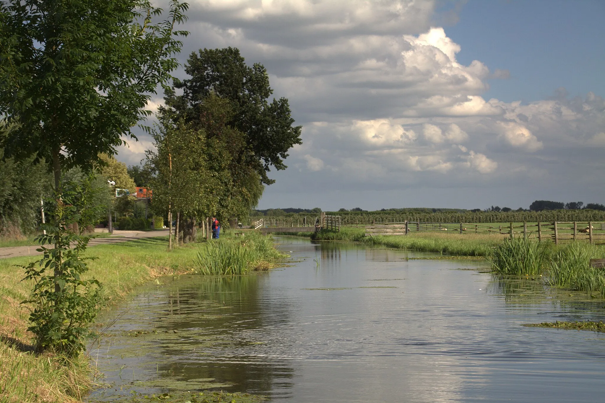
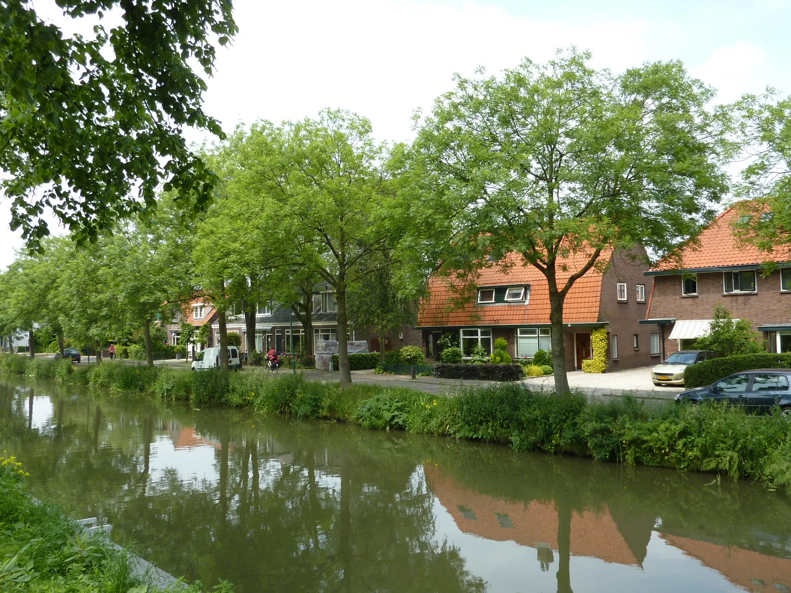
OssenwaardHamletOssenwaard is a nature reserve located along the banks of the Lek River. Take a moment to admire the diverse flora and fauna in this peaceful setting.
94 km
94 km
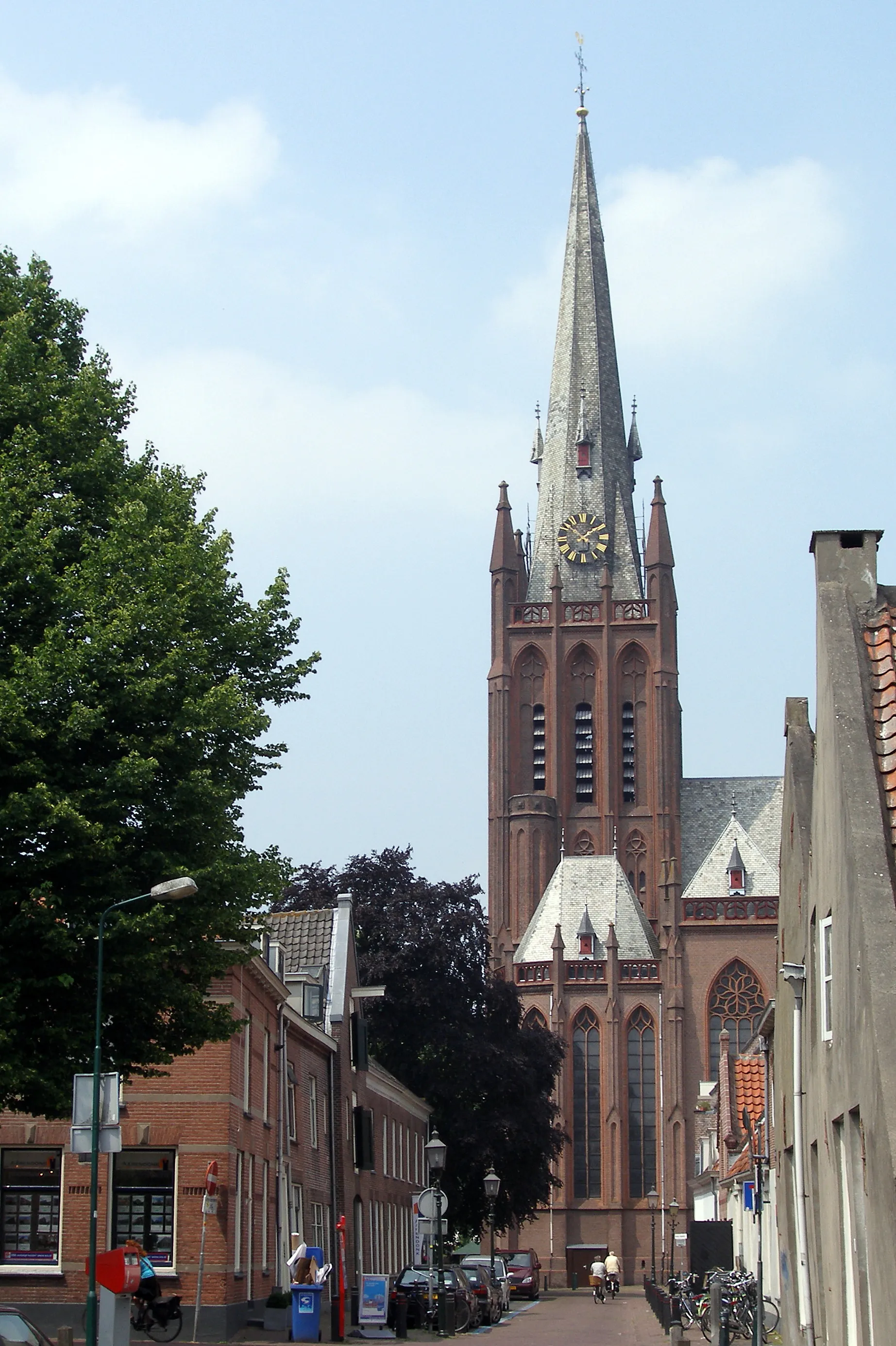
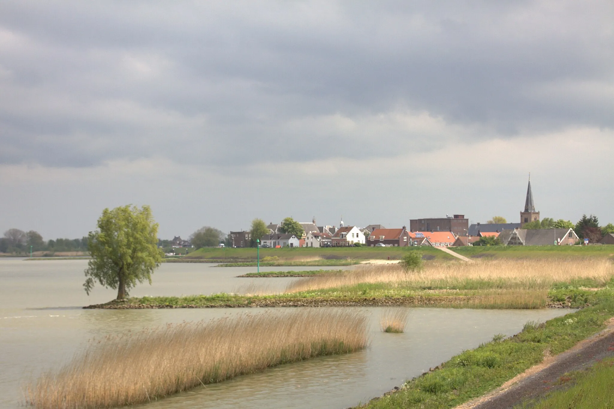
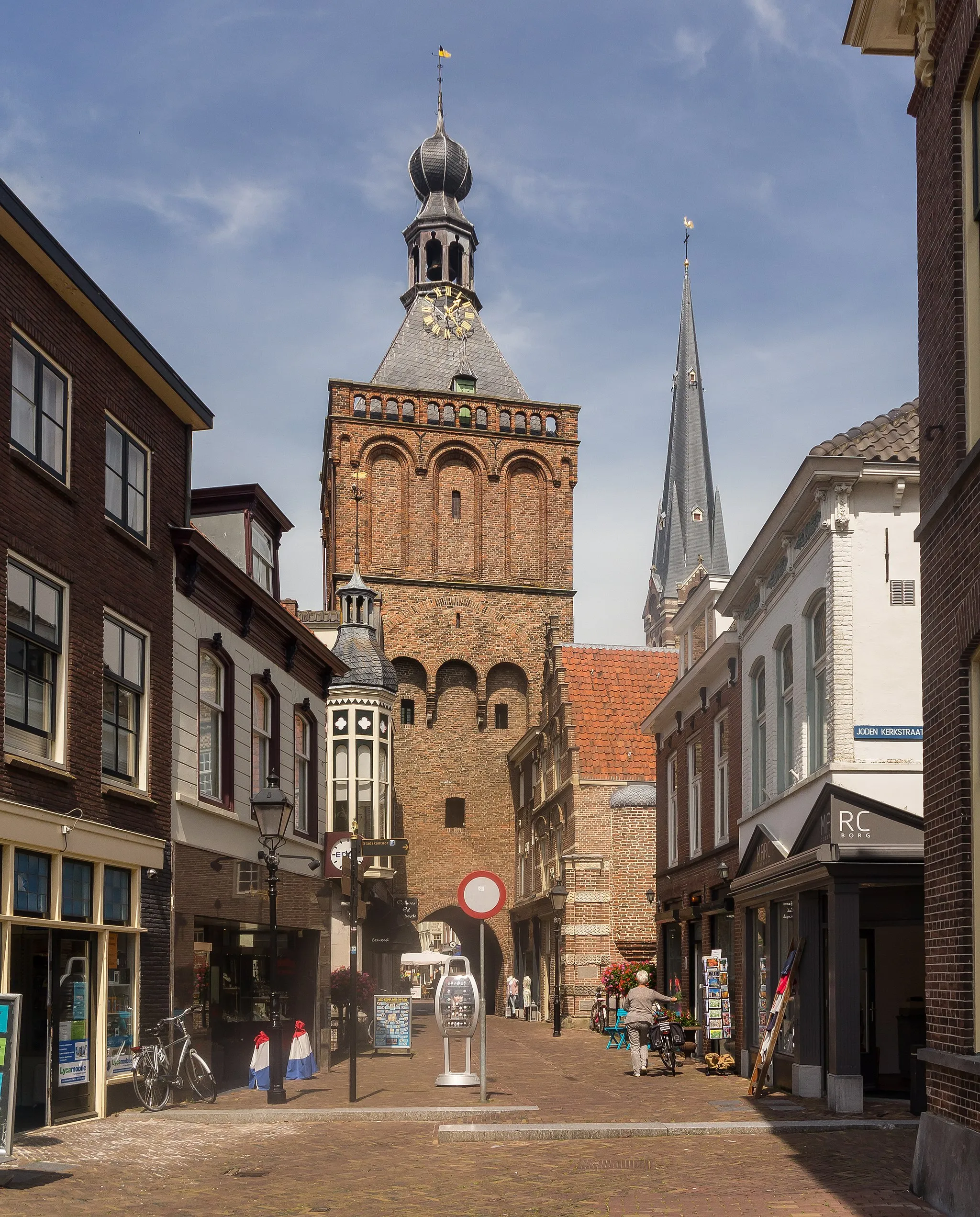
VianenTownVianen is a historic town with well-preserved medieval buildings. Explore the charming streets and visit the 14th-century Stadhuis, the town hall.
93 km
93 km
Finish: Vianen City centerVianen: Cycling haven in Utrecht
Cycling routes nearby: