Roads Less Traveled
A road cycling route starting from Rhoon
Venture along less frequented roads near Rhoon
Map
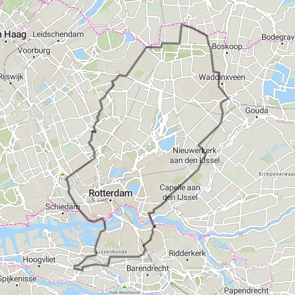
Discover the lesser-known roads near Rhoon on this 86 km road cycling route. With an elevation gain of 70 meters, the route offers a mix of scenic landscapes and hidden gems waiting to be explored.
road
86 km
70 m
Tough
Route profile
Highlights on the route
0 km
0 km
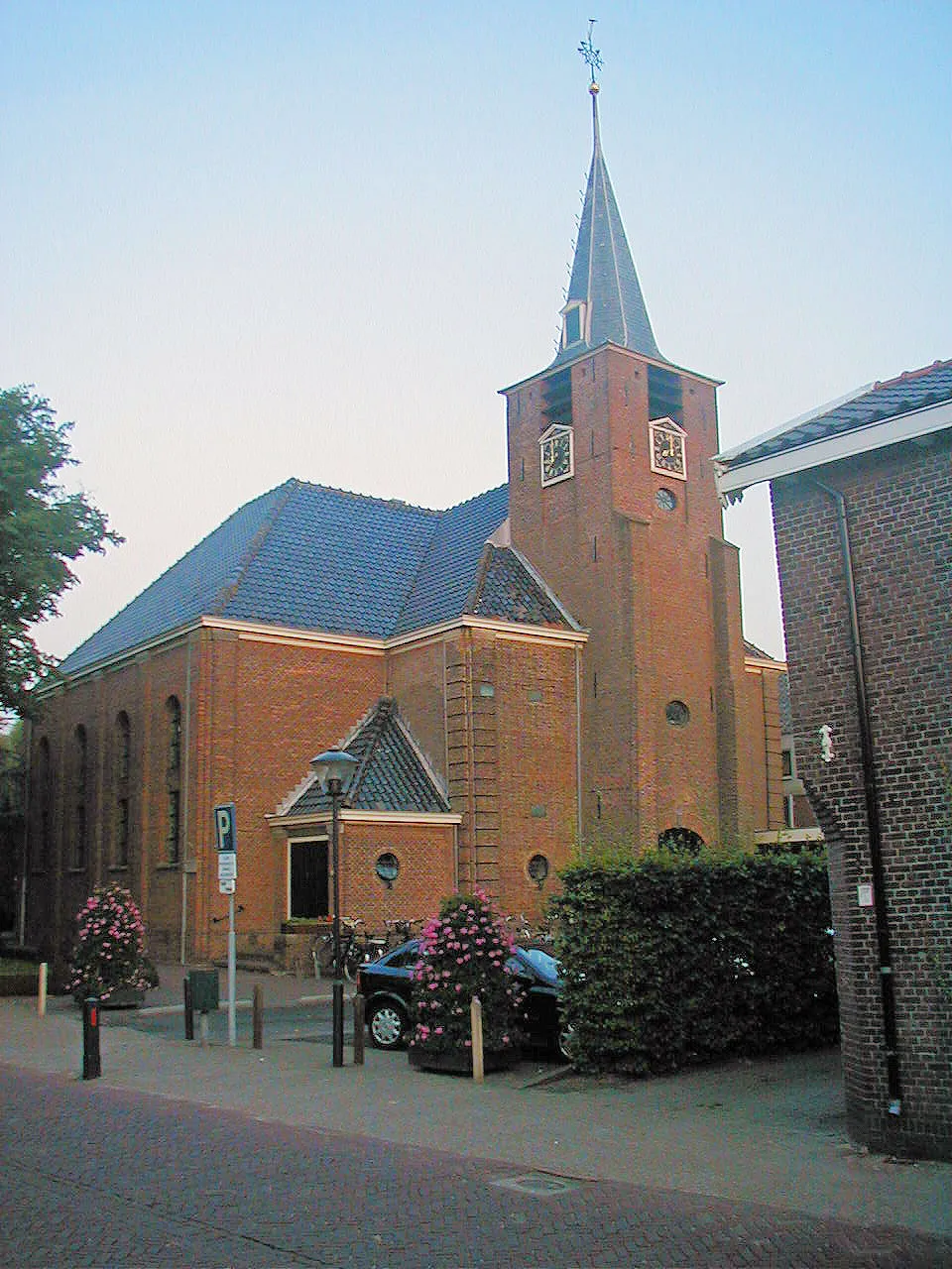
Start: Rhoon Village centerRhoon: Blend of culture, nature, and enchanting cycling routes in Zuid-Holland.
Rhoon, located in the Zuid-Holland region of the Netherlands, offers a pleasant cycling experience for both road and gravel cyclists. The locality is surrounded by beautiful nature reserves and is characterized by scenic countryside, charming villages, and historical landmarks. Cyclists can explore the nearby Oude Maas river, visit the popular Kinderdijk windmills, or embark on longer rides towards the Belgium border. The region also offers several well-known cycling routes, such as the Ronde van Rhoon. Rhoon provides a great balance between cultural attractions and refreshing cycling routes, making it an attractive destination for cyclists of all levels.8 km
8 km
EuromastAttractionMake a stop at the iconic Euromast and enjoy panoramic views of Rotterdam from its observation deck.
37 km
37 km
Molen "de Haas"ViewpointPass by the Molen "de Haas", a traditional windmill that serves as a reminder of the region's rich heritage.
39 km
39 km
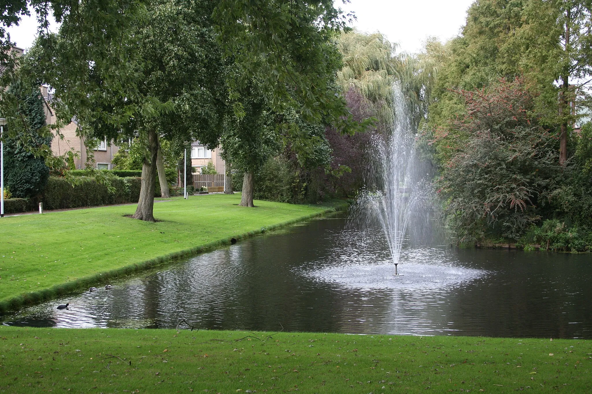
HogeveenHamletCycle through the scenic Hogeveen area, characterized by its peaceful landscapes and charming farms.
59 km
59 km
Monument for the Lowest Point in the NetherlandsAttractionPay homage to the Monument for the Lowest Point in the Netherlands, which marks the country's lowest natural point below sea level.
72 km
72 km
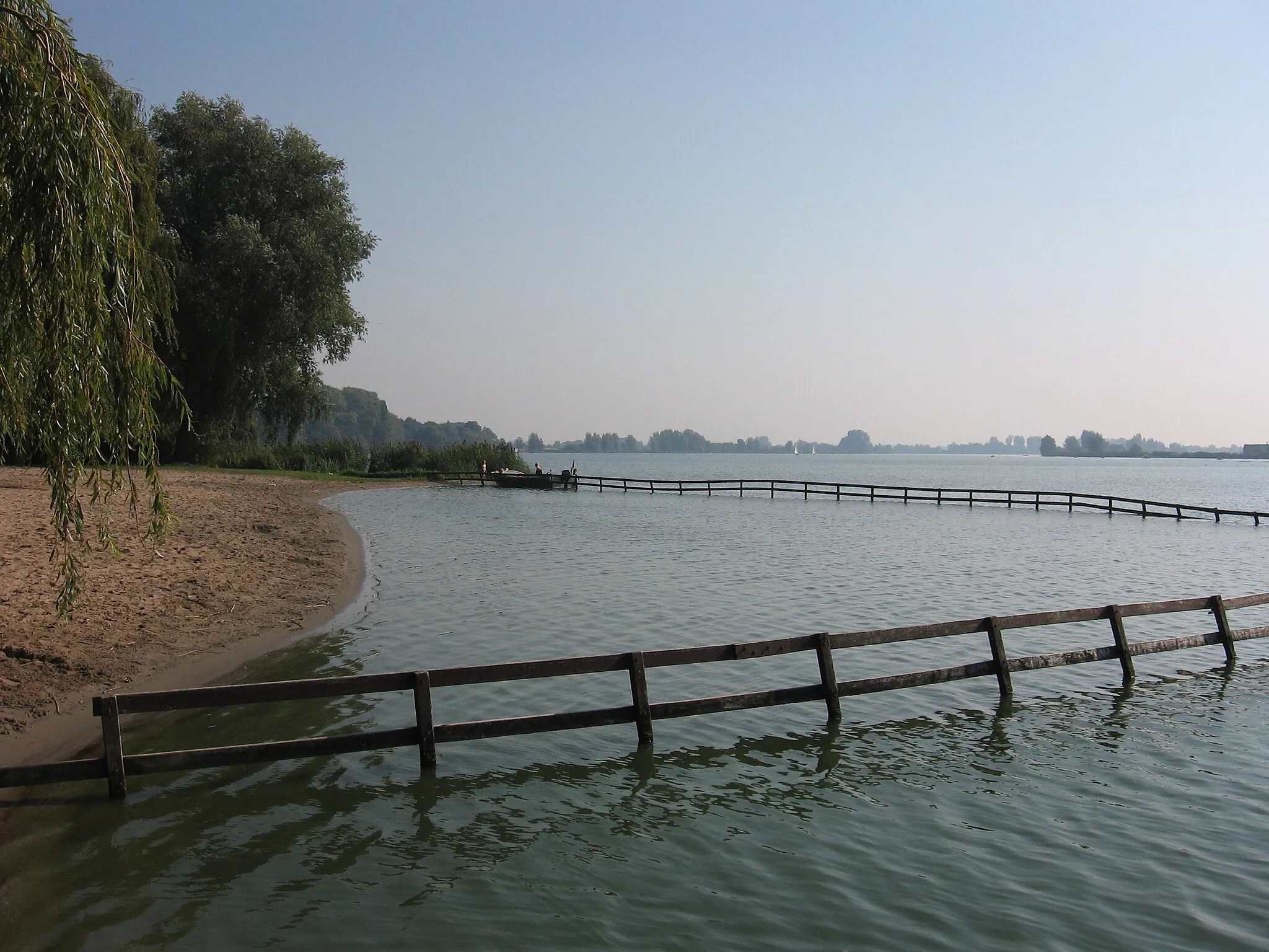
MaaskijkerViewpointStop at the Maaskijker, an observation point offering panoramic views of the Maas river.
75 km
75 km
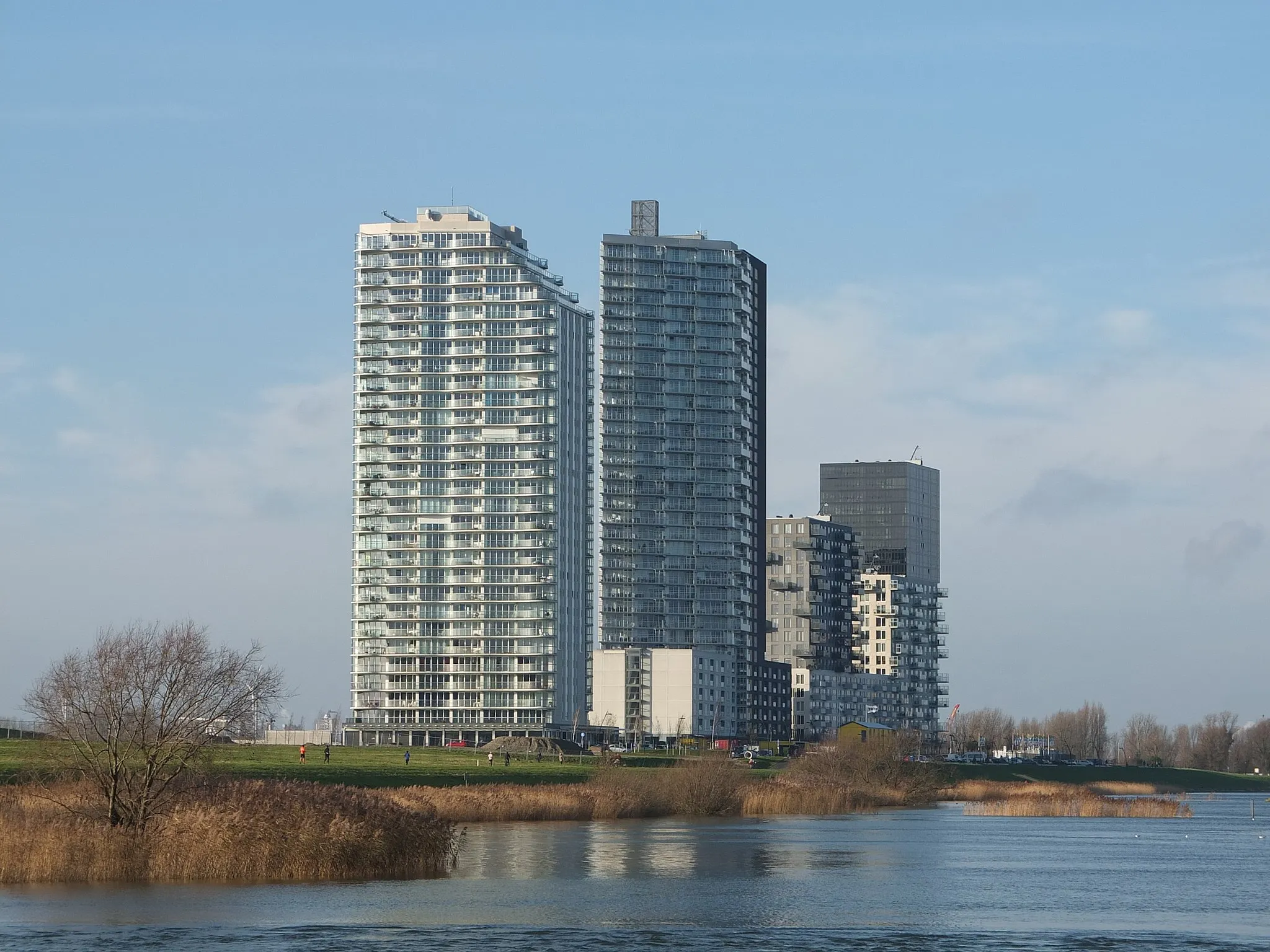
IJsselmondeSub-urbVisit IJsselmonde, a fascinating area with diverse wildlife and beautiful natural scenery.
86 km
86 km
Finish: Rhoon Village centerRhoon: Blend of culture, nature, and enchanting cycling routes in Zuid-Holland.
Cycling routes from Rhoon:
Cycling routes nearby: