Stange-Hjellum
A road cycling route starting from Loten
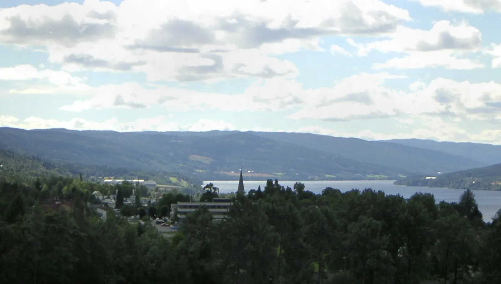
A scenic road route from Stange to Hjellum
Map

The Stange-Hjellum route takes cyclists through picturesque countryside, providing a scenic and peaceful cycling experience. This 49-kilometer road route offers a moderate ascent of 245 meters, making it suitable for intermediate-level cyclists. Highlights along the way include the charming town of Stange and the idyllic Hjellum area. With its beautiful natural landscapes and cultural attractions, this route offers a delightful journey for those looking to explore Innlandet county on two wheels.
road
49 km
245 m
Chill
Route profile
Highlights on the route
0 km
0 km
Start: Løten Village centerLøten: Cycling amidst the tranquil beauty of Innlandet.
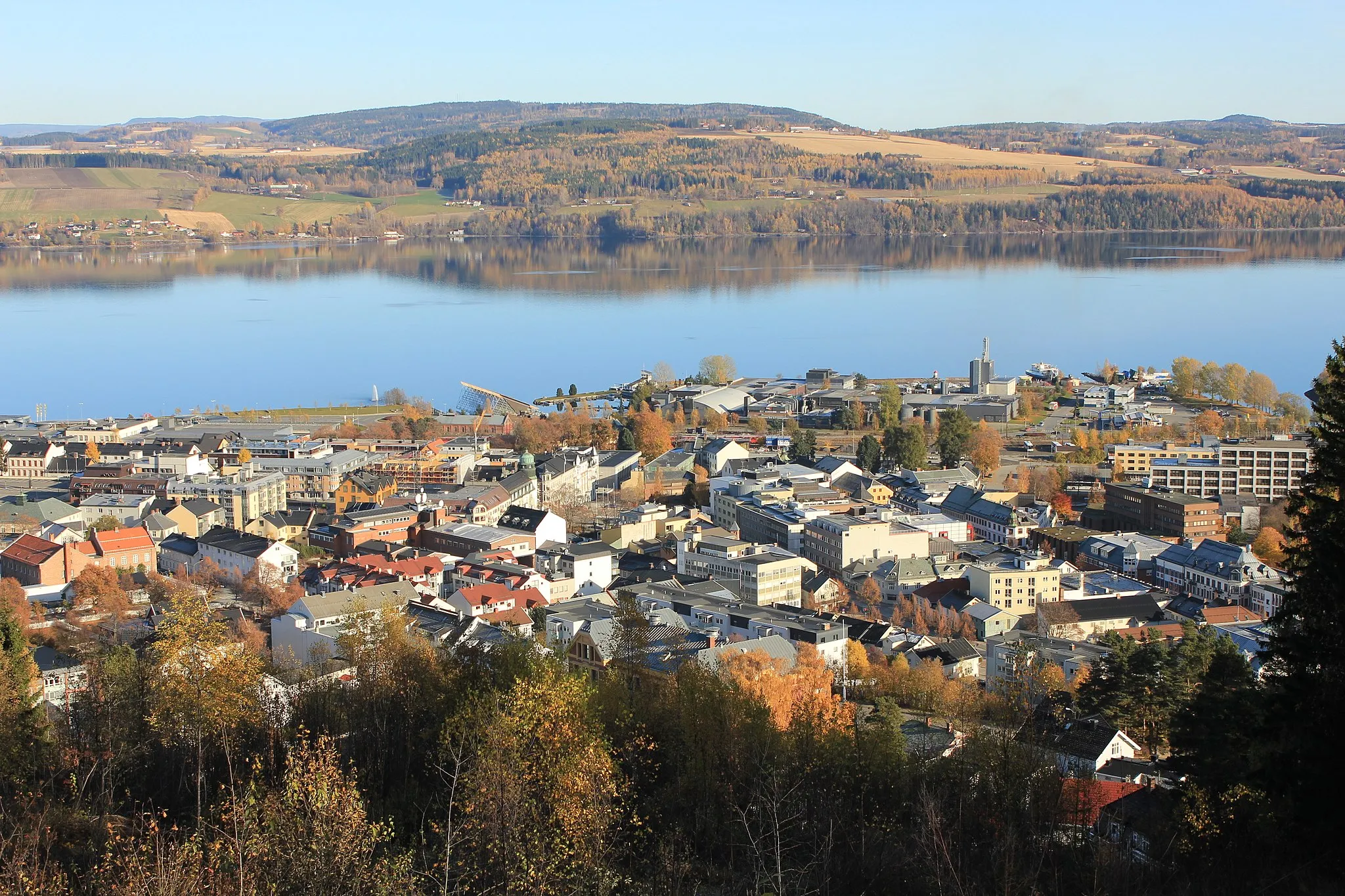
Løten is a small locality in the Innlandet region of Norway. As a road and gravel cyclist, Løten provides a satisfactory cycling experience. The roads are generally in good condition and there are several routes that take you through the picturesque Norwegian countryside. However, there are no famous cycling-related spots or well-known climbs in the immediate area. Cyclists visiting Løten will enjoy the peaceful atmosphere and beautiful scenery of the Innlandet region.17 km
17 km
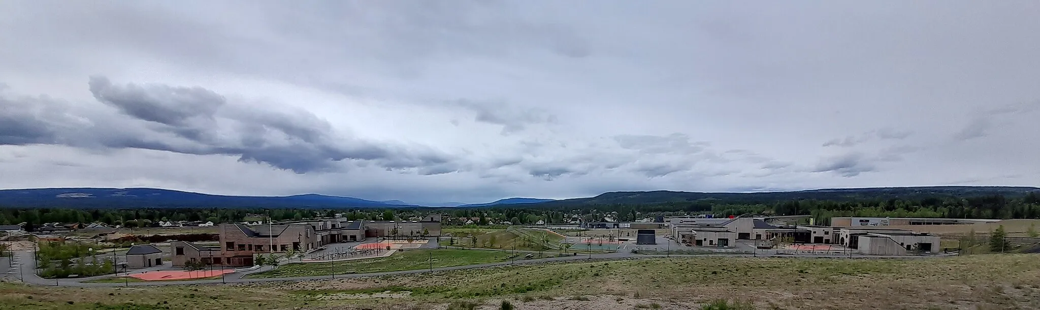
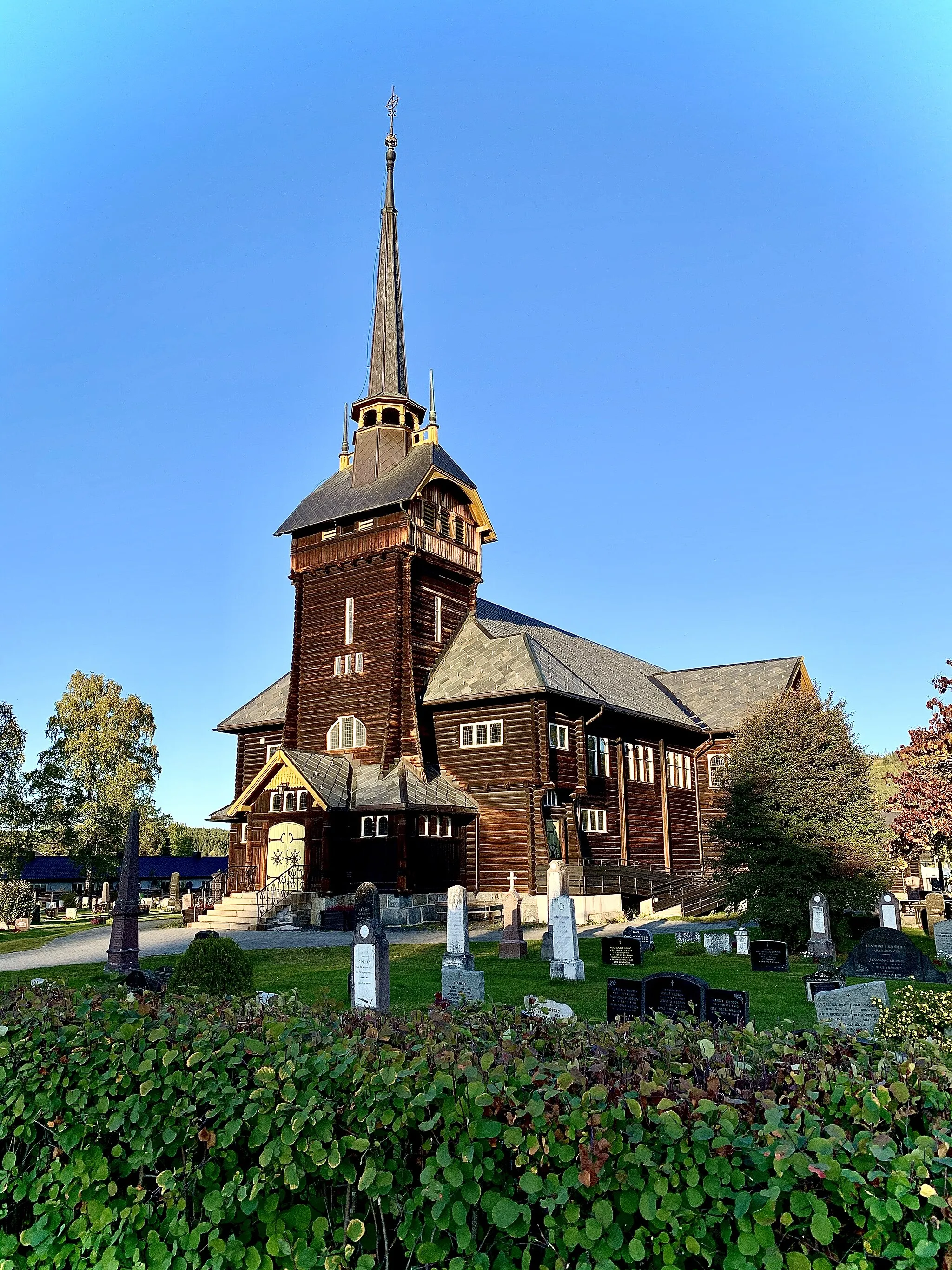
StangeTownStange is a picturesque town along the route, with its charming streets and historical sites.
36 km
36 km
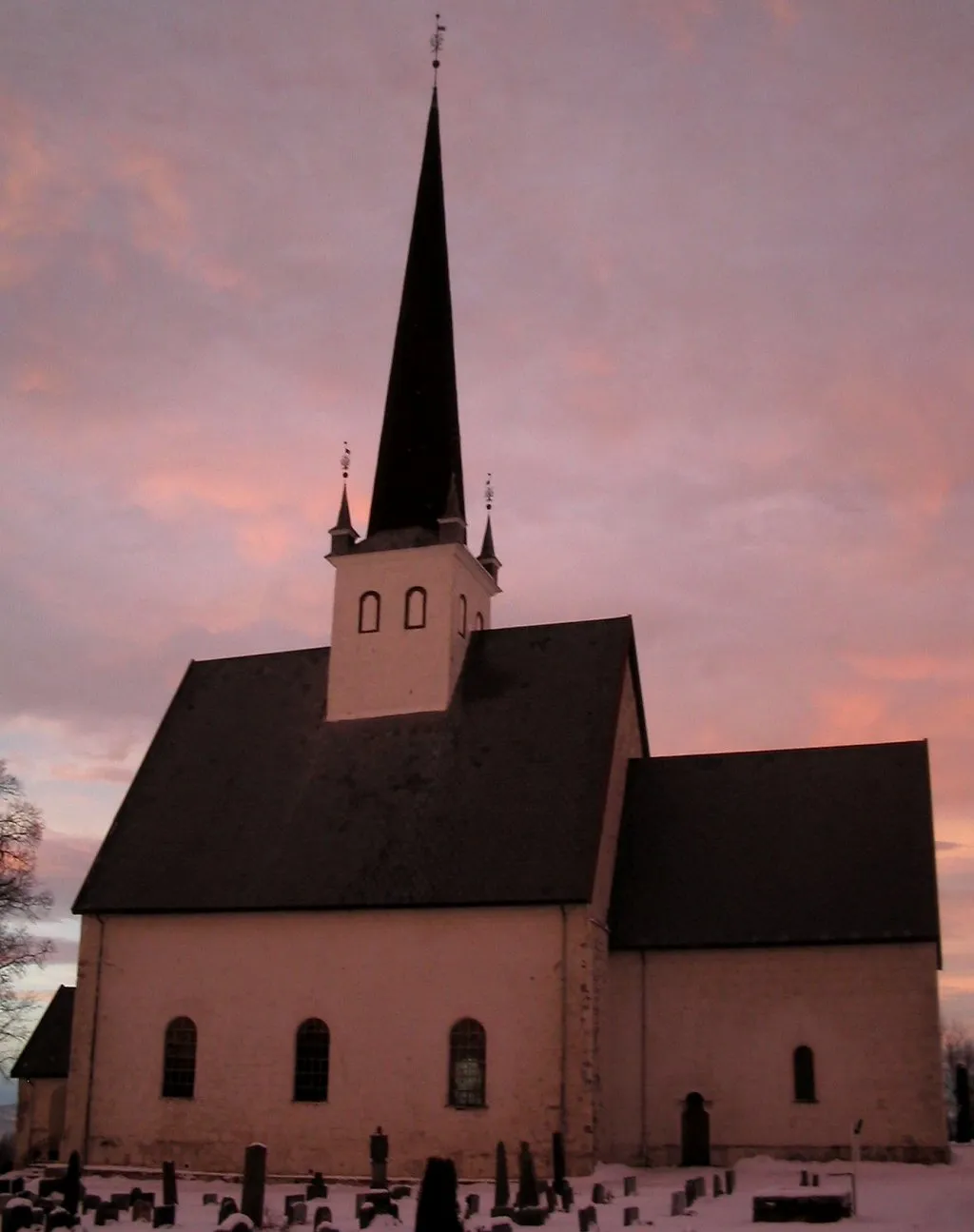
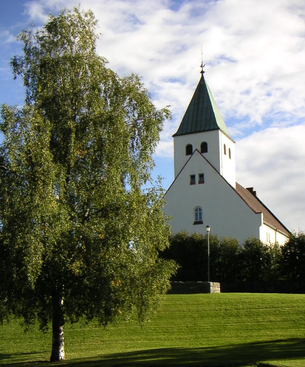
HjellumVillageHjellum is a tranquil area known for its natural beauty and peaceful surroundings.
47 km
47 km
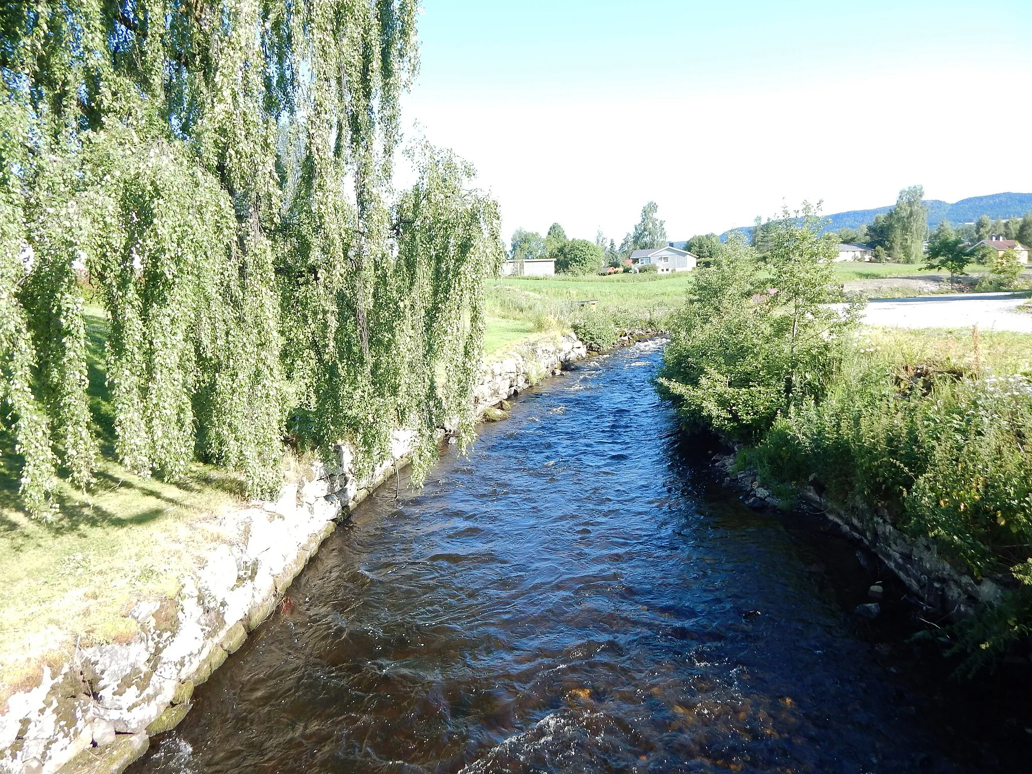
BrenneriroaVillageBrenneriroa offers scenic views and a refreshing stop along the road.
49 km
49 km
Finish: Løten Village centerLøten: Cycling amidst the tranquil beauty of Innlandet.
Cycling routes from Loten:
Cycling routes nearby: