Mountain Challenge
A road cycling route starting from Raufoss
Conquer a challenging mountain route with stunning views on this epic road cycling adventure.
Map
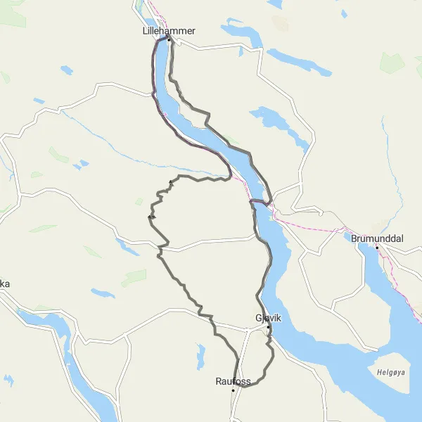
The Mountain Challenge is an epic road cycling route that covers a distance of 130 kilometers with a challenging ascent of 1739 meters. Starting near Raufoss, this route takes you through the mountains, offering breathtaking views and challenging climbs along the way. In terms of difficulty, it is recommended for experienced cyclists. The route also includes several notable highlights that enhance the overall experience.
road
130 km
1739 m
Savage
Route profile
Highlights on the route
0 km
0 km
Start: Raufoss City centerRaufoss: Explore the stunning natural beauty and well-maintained cycling infrastructure of Raufoss, Norway.
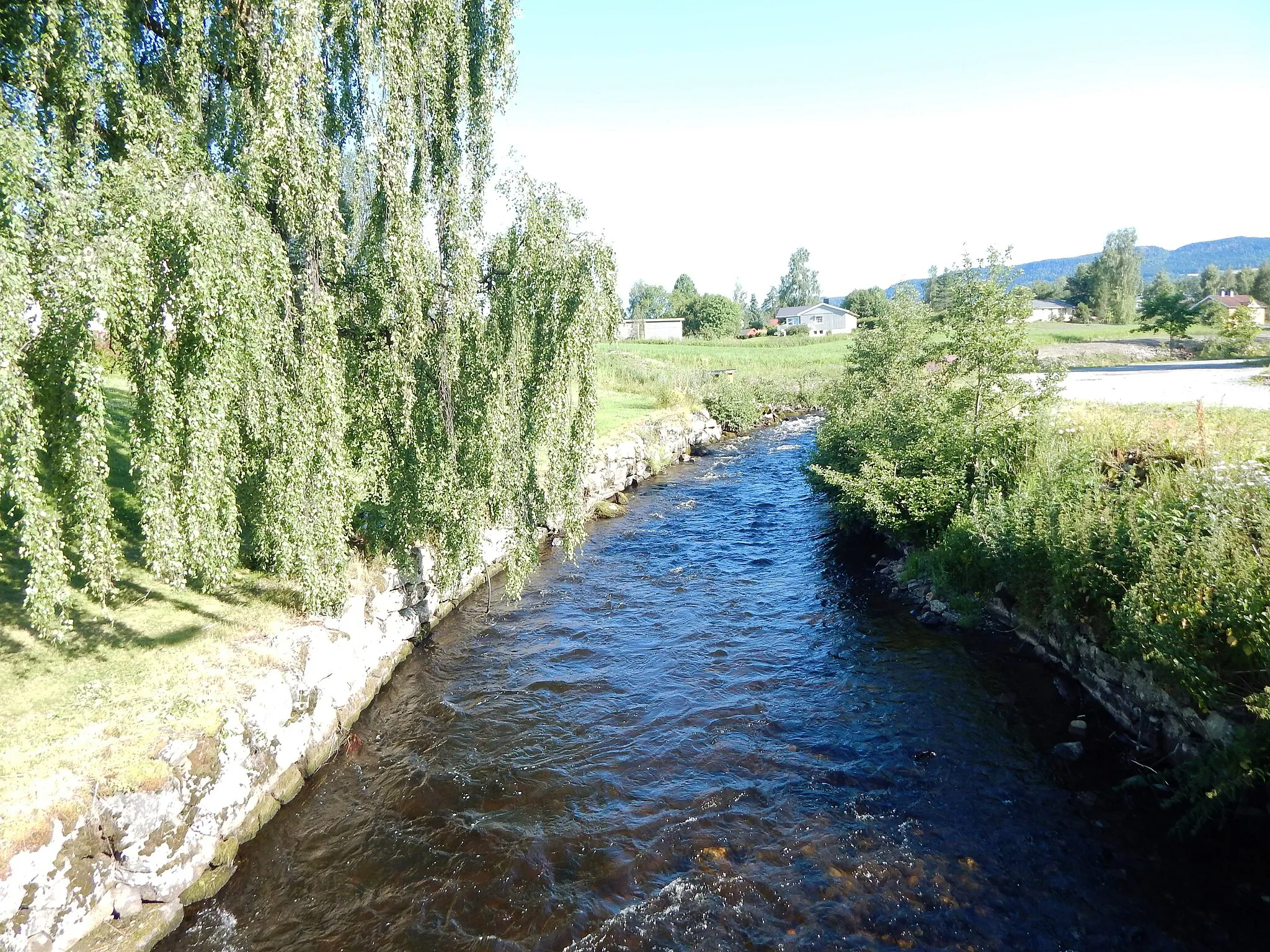
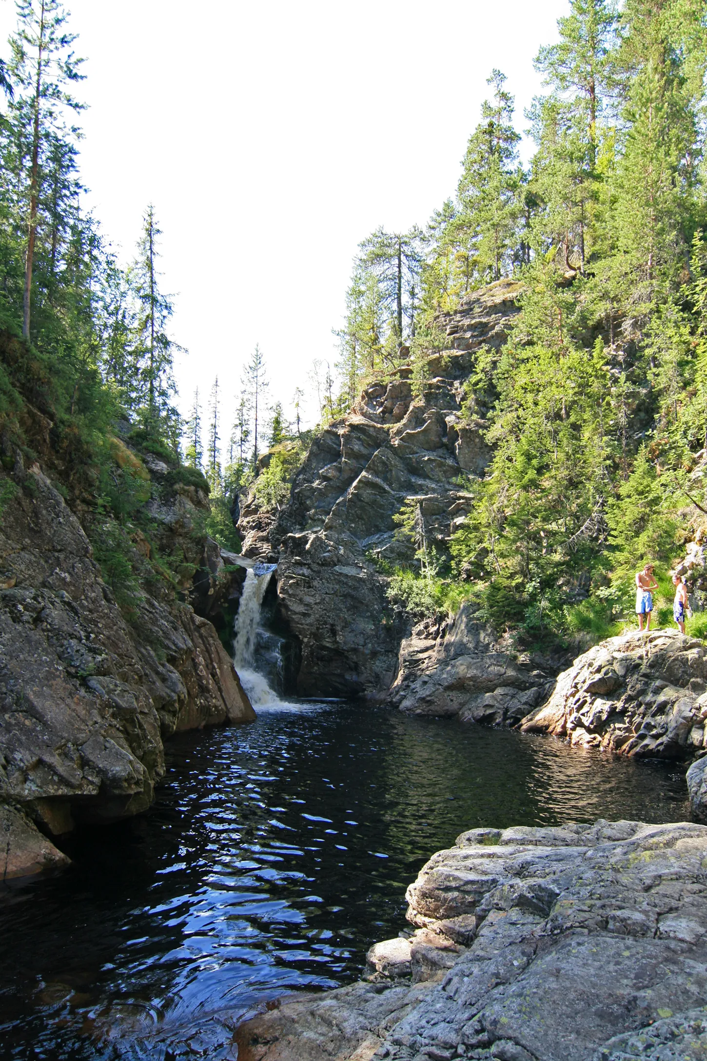
Raufoss, situated in Innlandet, Norway, is a cyclist's paradise with its stunning natural beauty and well-maintained cycling infrastructure. The locality offers a mix of challenging mountain roads and smoother routes along lakes and rivers. Cyclists can enjoy riding through lush forests, with breathtaking views of Norwegian landscapes. Notably, nearby Gaustatoppen is a legendary climb among cyclists, known for its tough gradients and rewarding panoramic views at the summit.7 km
7 km
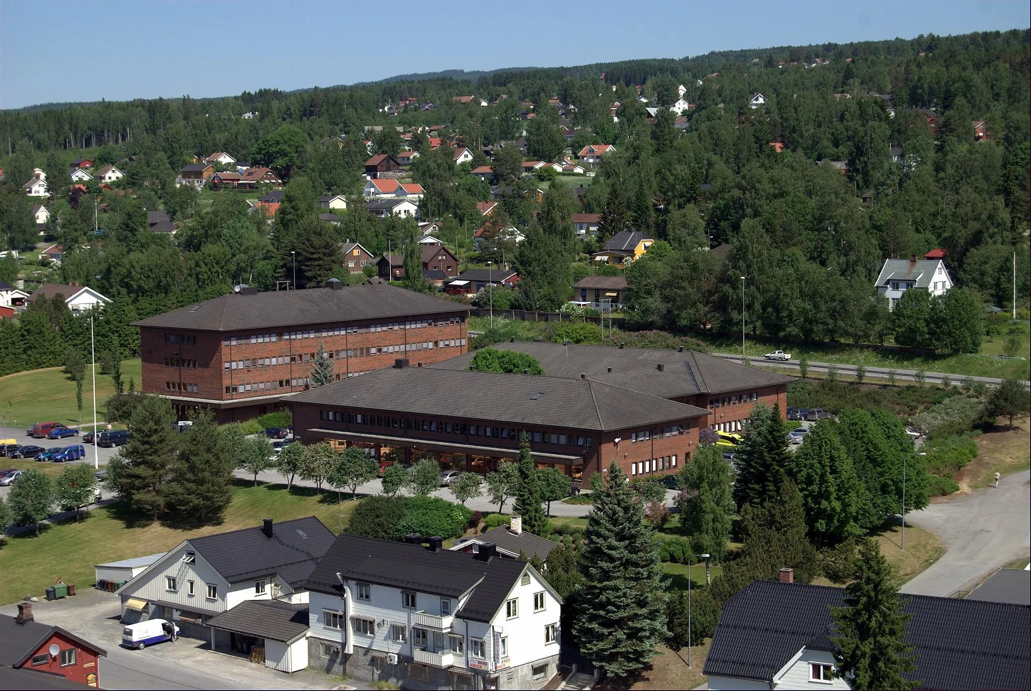
Høgda485 mPeakHøgda, located 7 kilometers into the route, is a small village with limited attractions.
46 km
46 km
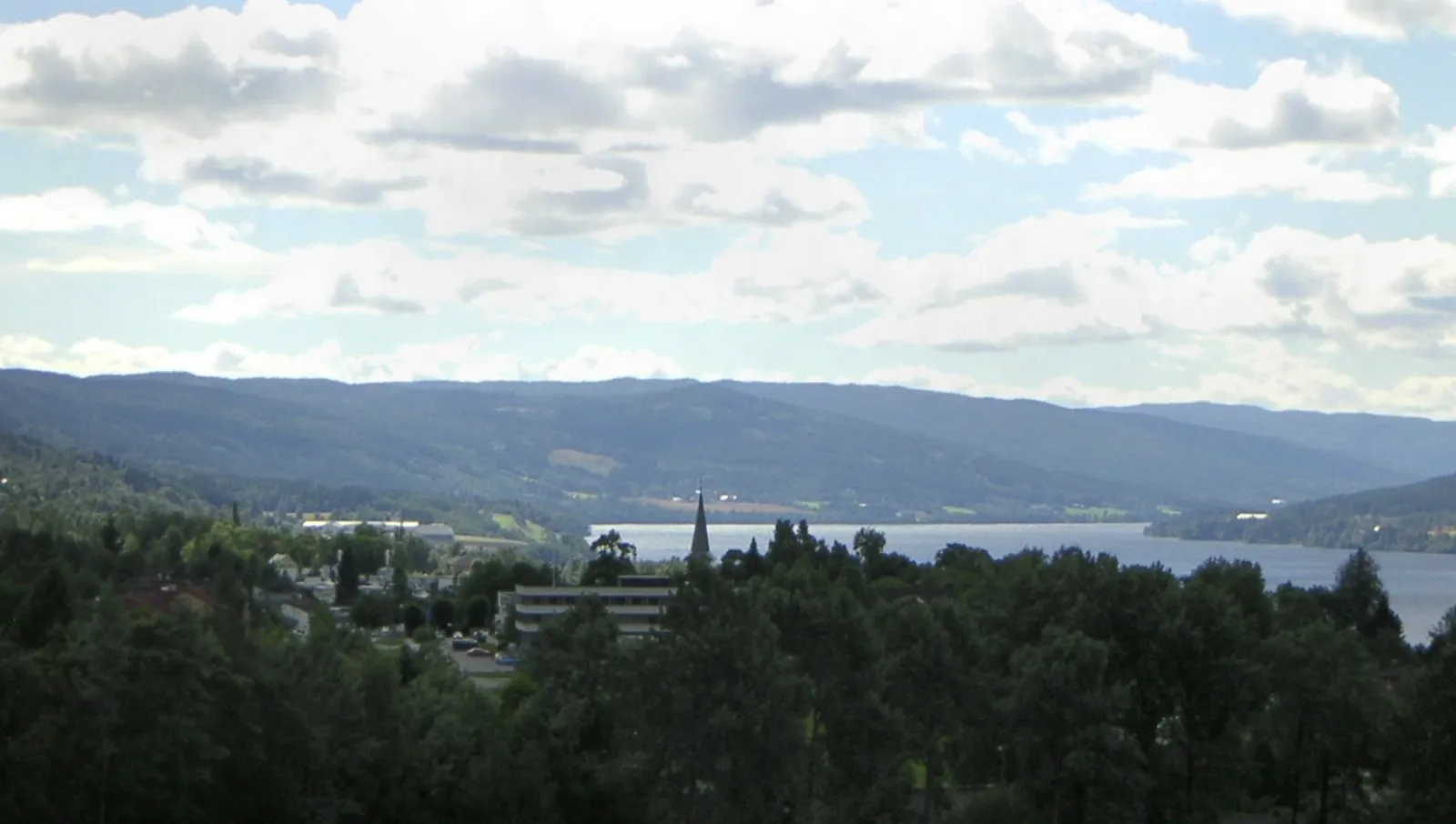
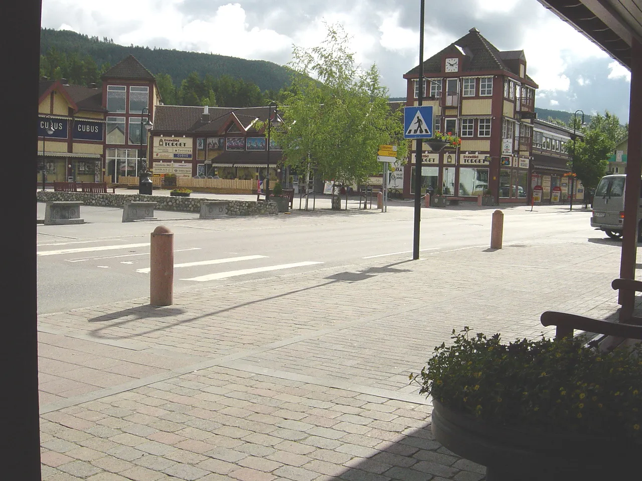
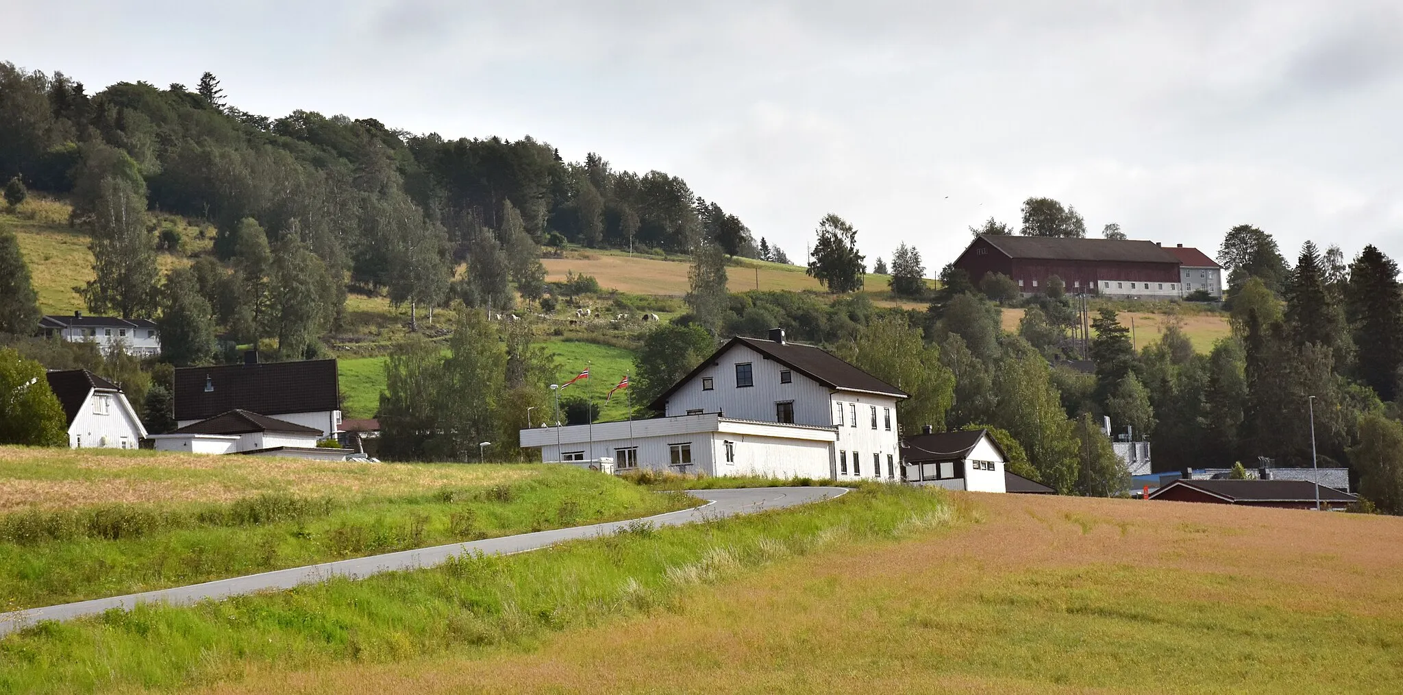
BiriVillageBiri, situated at the 46-kilometer mark, offers stunning views and a rich history.
60 km
60 km
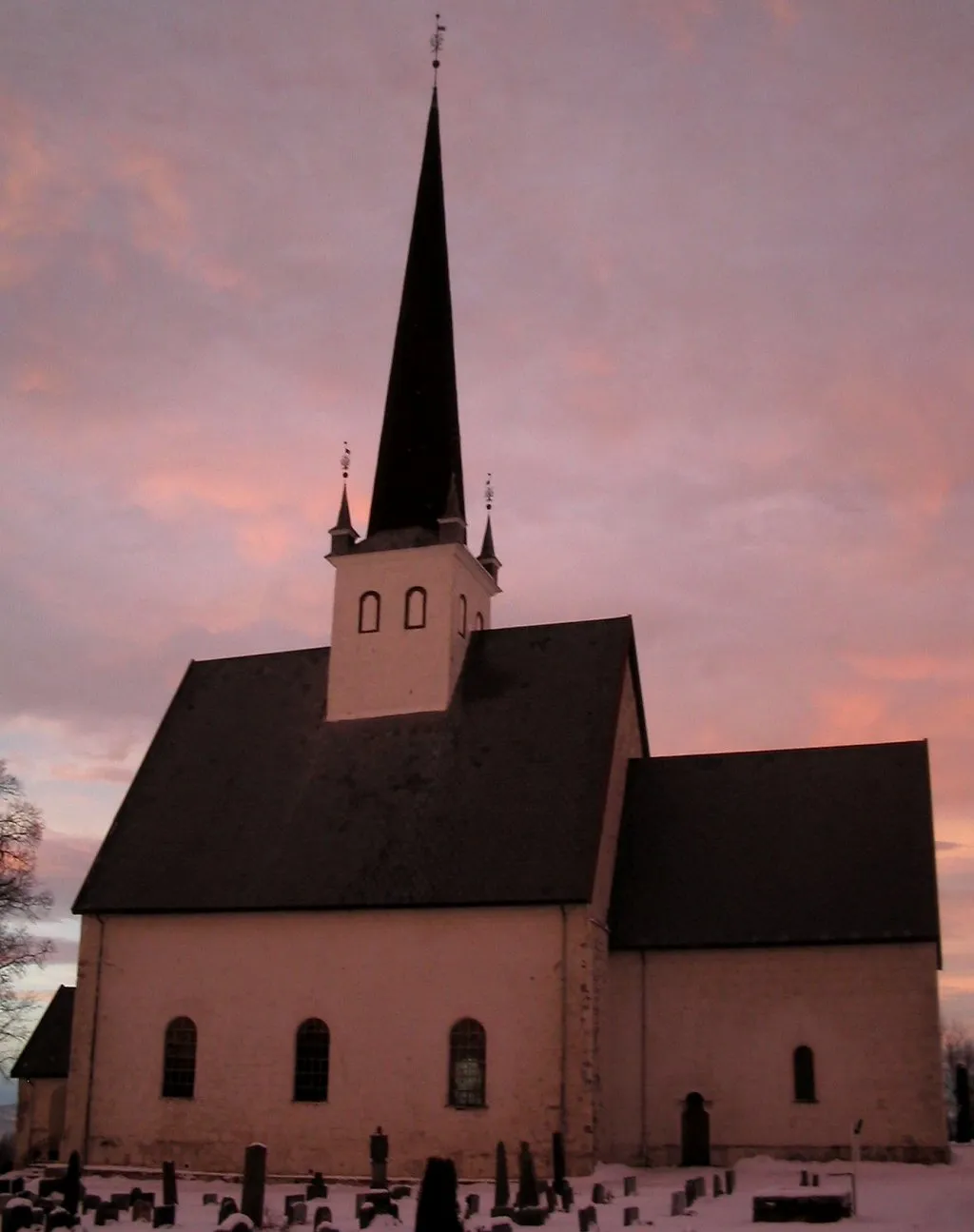
VingromVillageVingrom, located at the 60-kilometer mark, is a picturesque village known for its traditional architecture and tranquil surroundings.
82 km
82 km
BrøttumVillageBrøttum, situated at the 82-kilometer mark, provides breathtaking views of the surrounding mountains and forests.
97 km
97 km
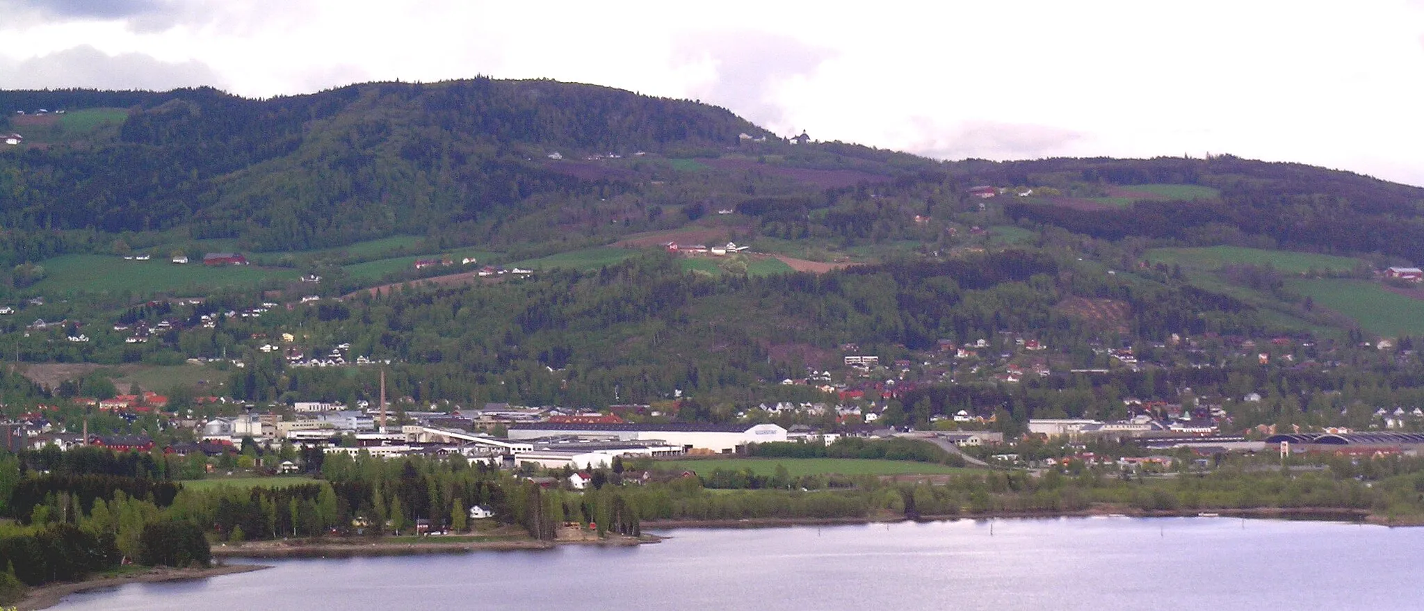
MoelvTownMoelv, located at the 97-kilometer mark, is a charming town surrounded by beautiful waterways and lush greenery.
117 km
117 km
Hovdetoppen258 mPeakHovdetoppen, situated at the 117-kilometer mark, is a legendary cycling spot offering panoramic views of the entire region.
117 km
117 km
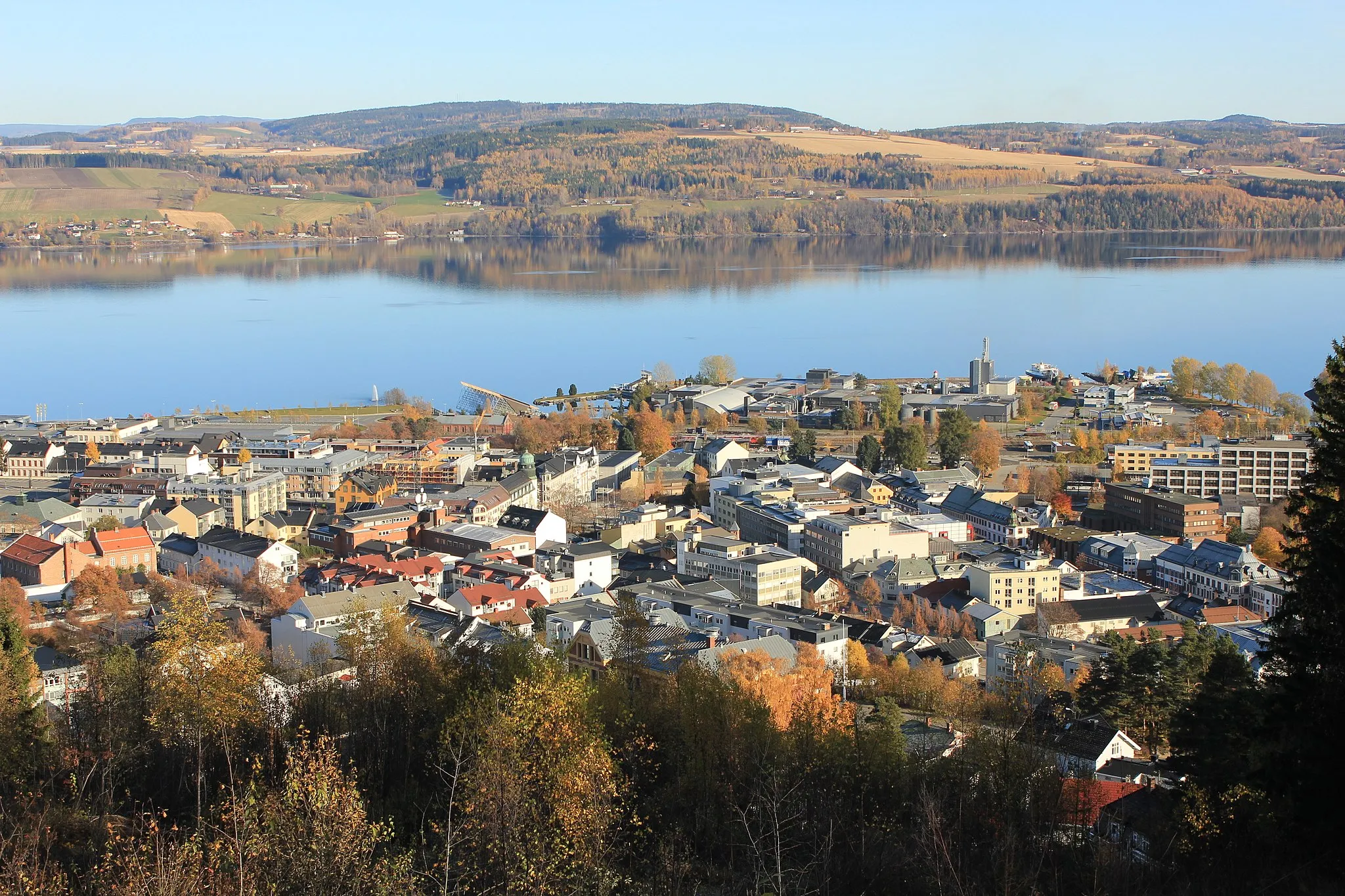
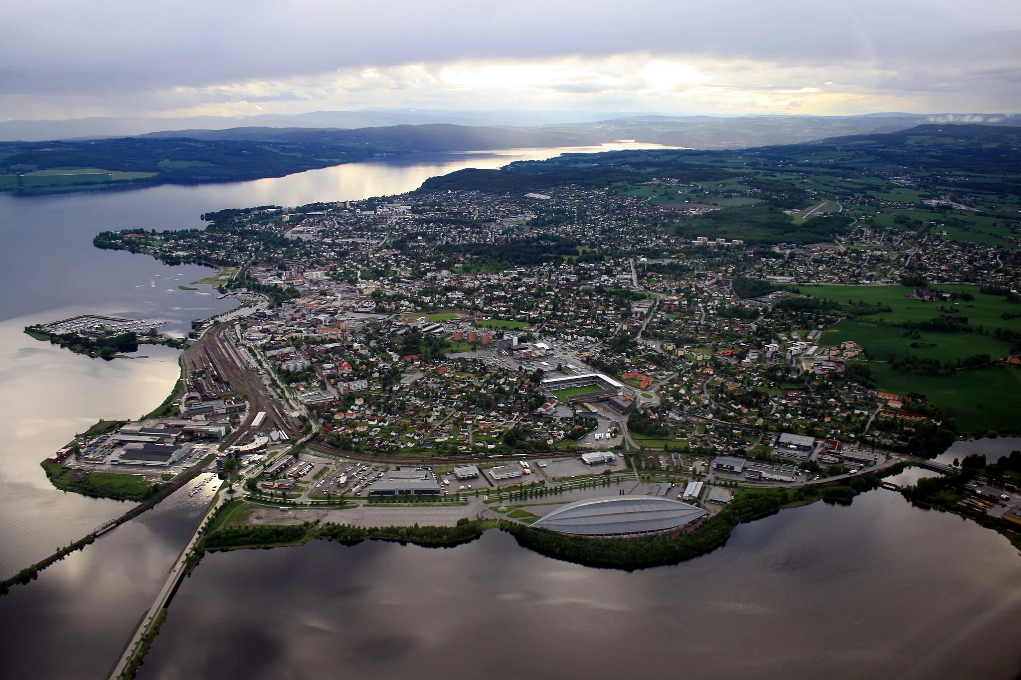
GjøvikTownGjøvik, located at the 117-kilometer mark, is a vibrant city with a beautiful lakeside setting and a rich cultural scene.
130 km
130 km
RaufossTownRaufoss, the starting point and endpoint of the route, is a vibrant town with a rich industrial heritage.
130 km
130 km
Finish: Raufoss City centerRaufoss: Explore the stunning natural beauty and well-maintained cycling infrastructure of Raufoss, Norway.
Cycling routes nearby: