Ugeliåsen and Bjørheimsvatnet Loop
A road cycling route starting from Jorpeland
A challenging road cycling loop with beautiful views of Ugeliåsen and Bjørheimsvatnet
Map

This road cycling loop takes cyclists on a challenging ride through Ugeliåsen and around Bjørheimsvatnet, offering beautiful views of the surrounding landscape. With a total distance of 52 kilometers and an ascent of 946 meters, this route is suitable for well-trained amateur cyclists. The highlights of the route include the ascent to Ugeliåsen, with panoramic views of the mountains, and Bjørheimsvatnet, a serene lake situated amidst picturesque surroundings. Overall, this route provides a combination of challenging climbs and scenic landscapes, making it a rewarding cycling experience in Vestlandet.
road
52 km
946 m
Tough
Route profile
Highlights on the route
0 km
0 km
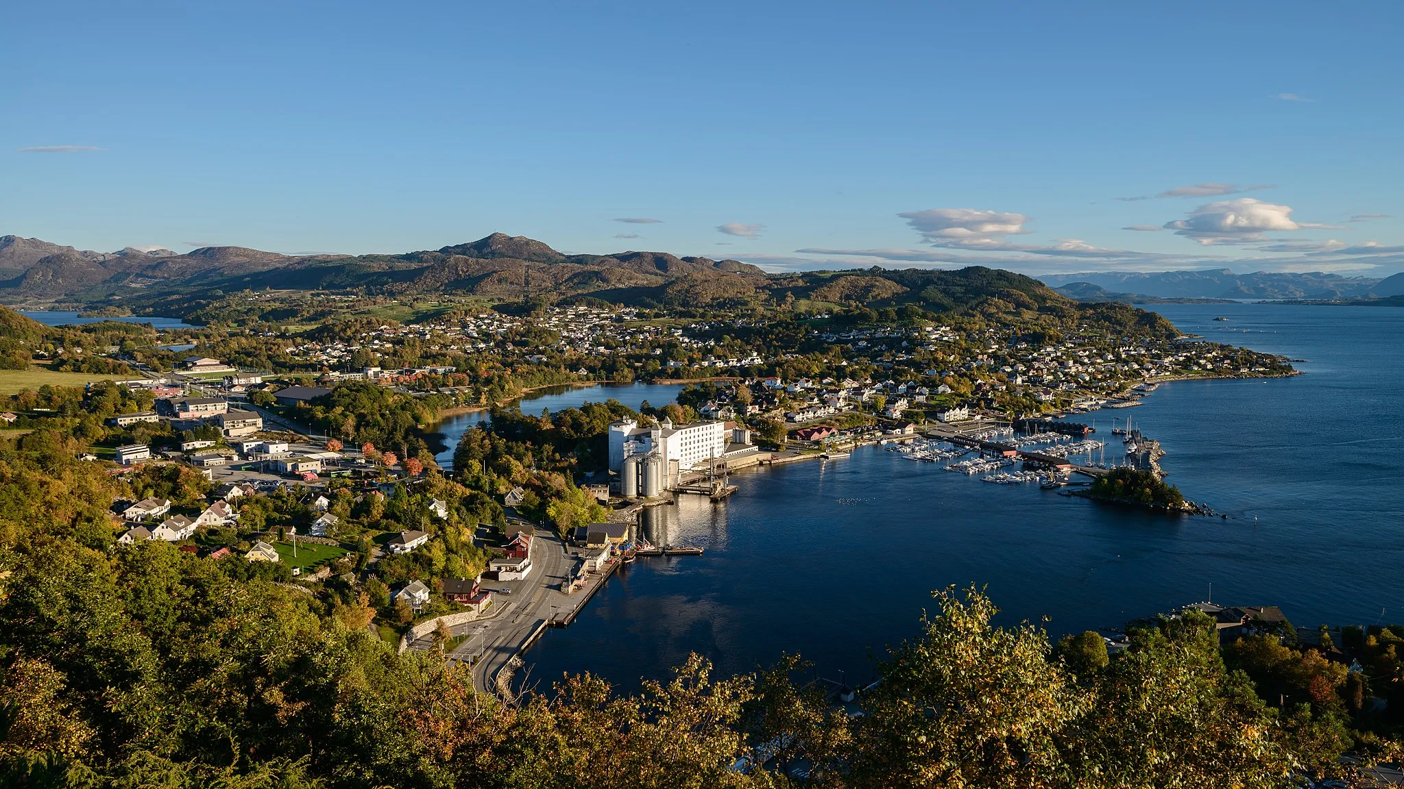
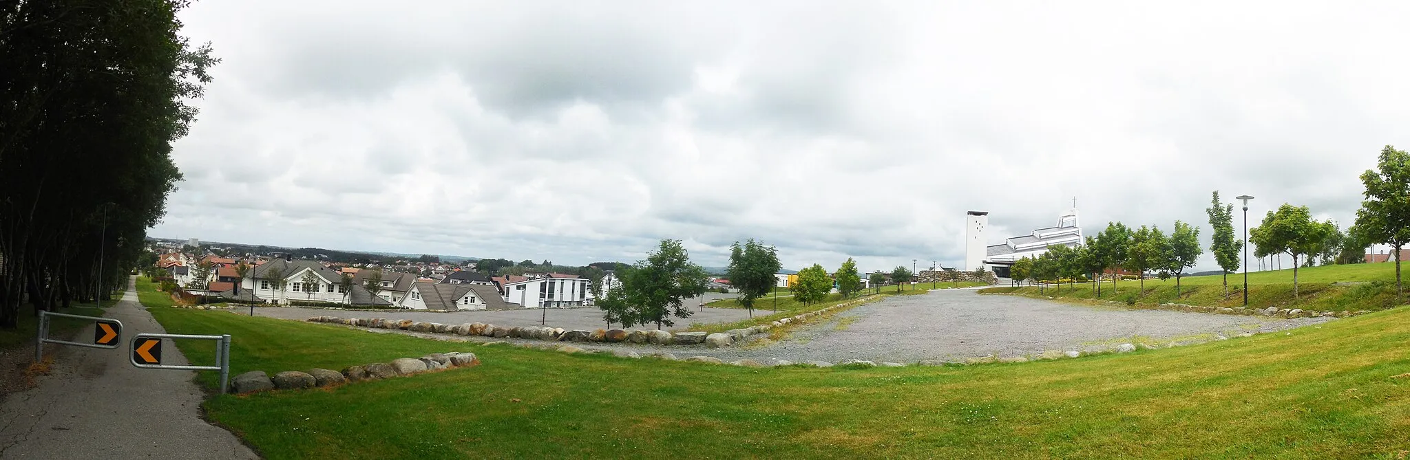
Start: Jørpeland City centerJørpeland: Cycling paradise in Vestlandet, Norway
Jørpeland, located in Vestlandet, Norway, offers beautiful scenic routes for road and gravel cycling. The locality is surrounded by stunning landscapes, including mountains and fjords, providing endless opportunities for outdoor enthusiasts. Cyclists can enjoy riding through winding hilly roads with challenging climbs and rewarding descents. One of the famous cycling spots nearby is the Lysebotn climb, known for its steep and demanding ascent. Jørpeland is a great destination for both road and gravel cyclists, with plenty of gravel paths and off-road trails to explore. With its picturesque scenery and varied terrain, Jørpeland offers a memorable cycling experience.11 km
11 km
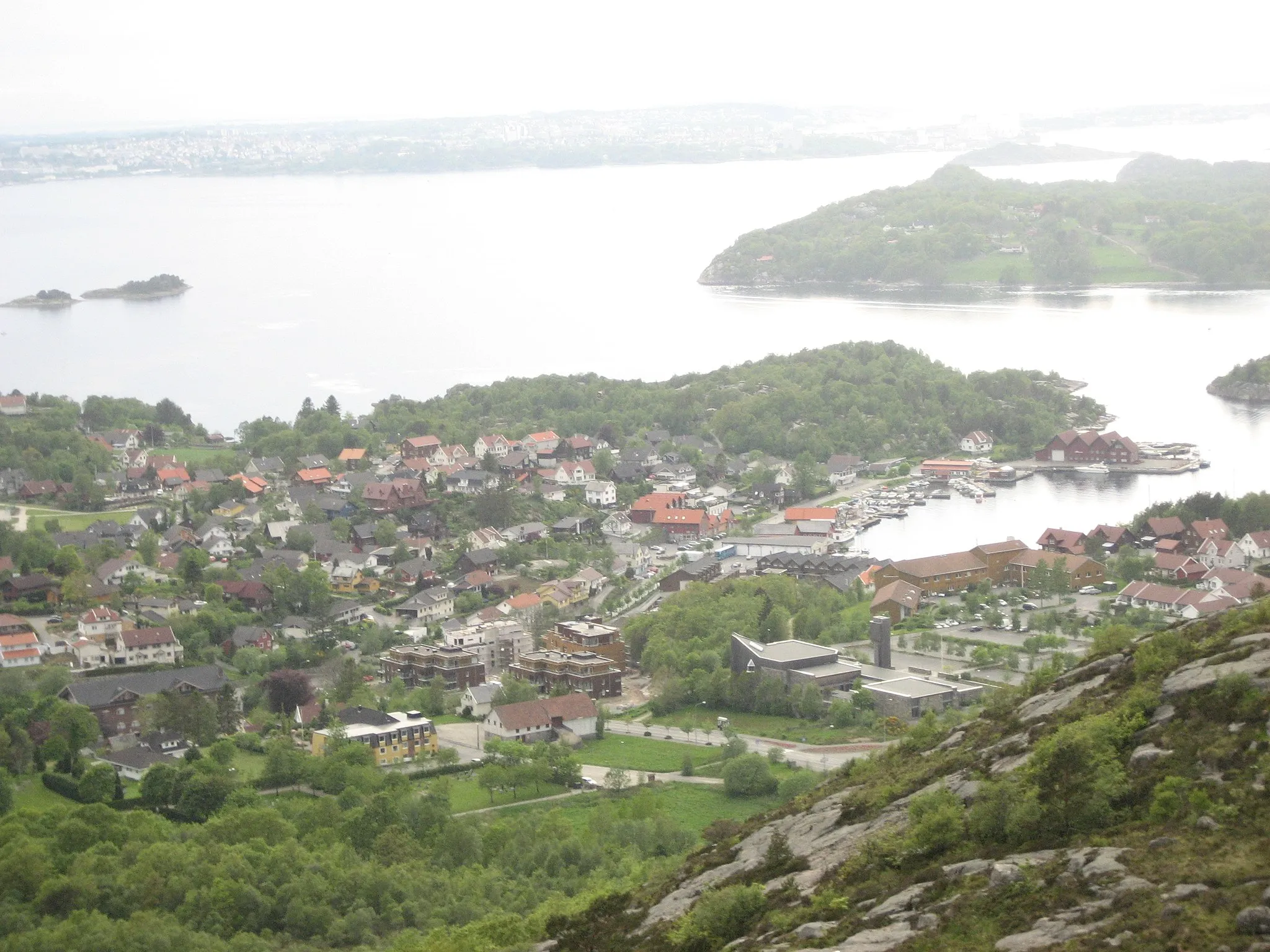
Ugeliåsen224 mPeakUgeliåsen offers a challenging climb with stunning views of the surrounding mountains.
20 km
20 km
FiskåVillageFiskå is a charming village along the route, known for its idyllic setting and tranquil atmosphere.
27 km
27 km
DøvikaHamletDøvika is a scenic coastal area that provides a refreshing stop along the route.
41 km
41 km
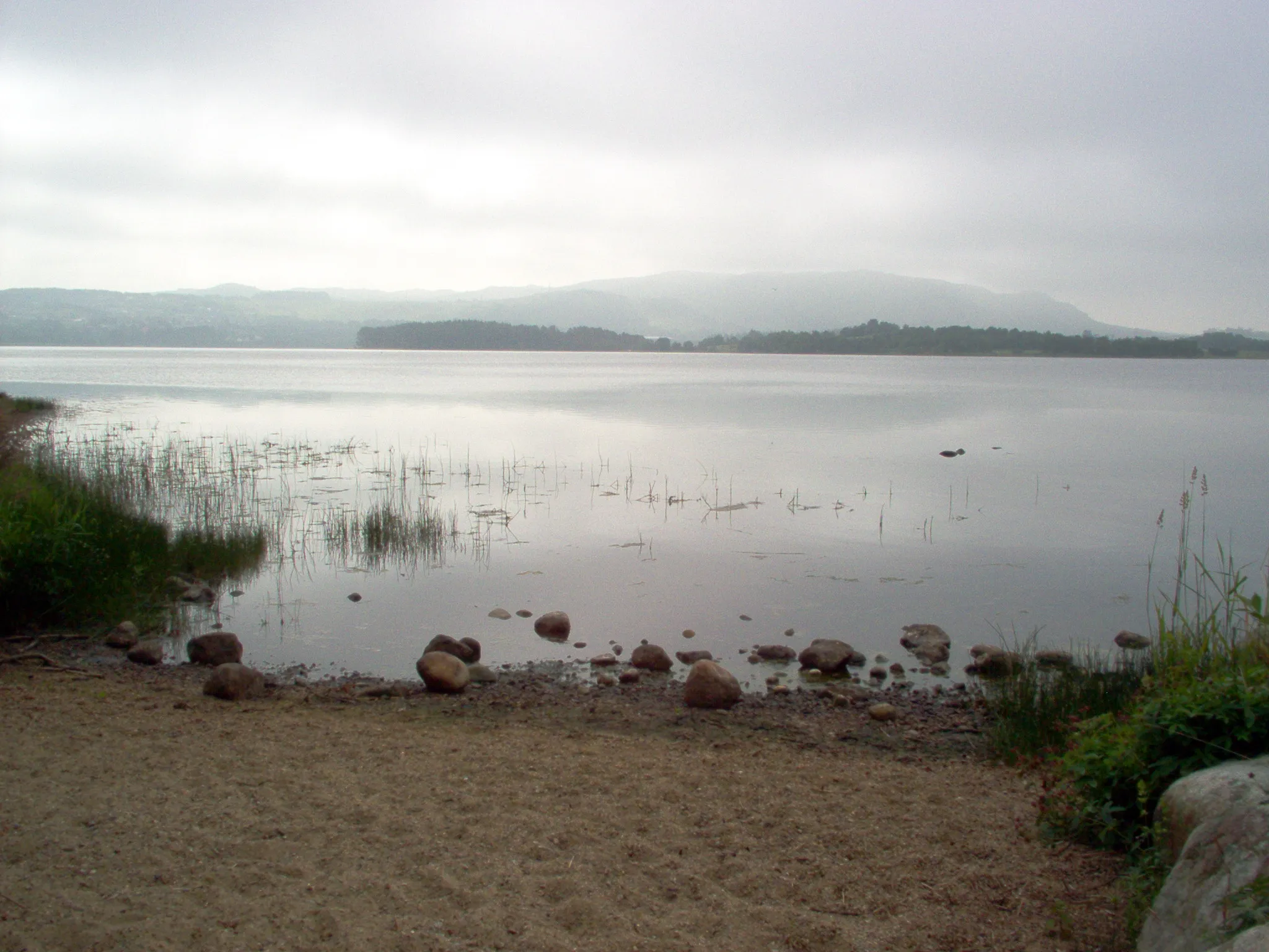
BjørheimsvatnetLakeBjørheimsvatnet is a picturesque lake surrounded by lush greenery and mountains.
43 km
43 km
BjørheimsbygdaHamletBjørheimsbygda is a small village known for its peaceful countryside setting.
48 km
48 km
Lusabergknuten363 mPeakLusabergknuten offers stunning panoramic views from its summit, making it a worthwhile stop along the route.
52 km
52 km
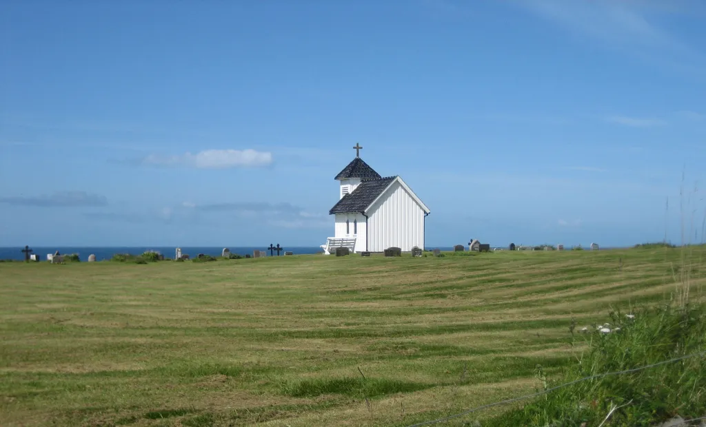
SvenskebyenSub-urbSvenskebyen is a historical village known for its Swedish influences and charming architecture.
52 km
52 km
Finish: Jørpeland City centerJørpeland: Cycling paradise in Vestlandet, Norway
Cycling routes nearby: