Wojszyce Gravel Adventure
A gravel cycling route starting from Wojszyce
Explore the gravel roads near Wojszyce and discover the historic sites along the route.
Map
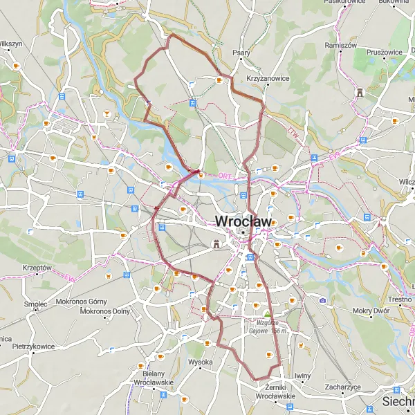
Embark on a thrilling gravel adventure near Wojszyce, Dolnośląskie. This 48-kilometer route takes you through picturesque villages and beautiful landscapes. With a total ascent of 61 meters, it offers a moderate challenge suitable for experienced amateurs. The highlights of this route include Wzgórze Bendera, where you can enjoy breathtaking views, and Szaniec Szwedzki, a historic Swedish defensive rampart dating back to the 17th century.
gravel
48 km
61 m
Chill
Route profile
Highlights on the route
0 km
0 km
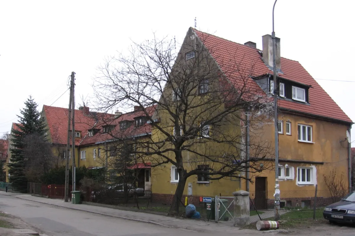
Start: Radomierzyce Village centerWojszyce: Urban and suburban roads for cycling near Wrocław
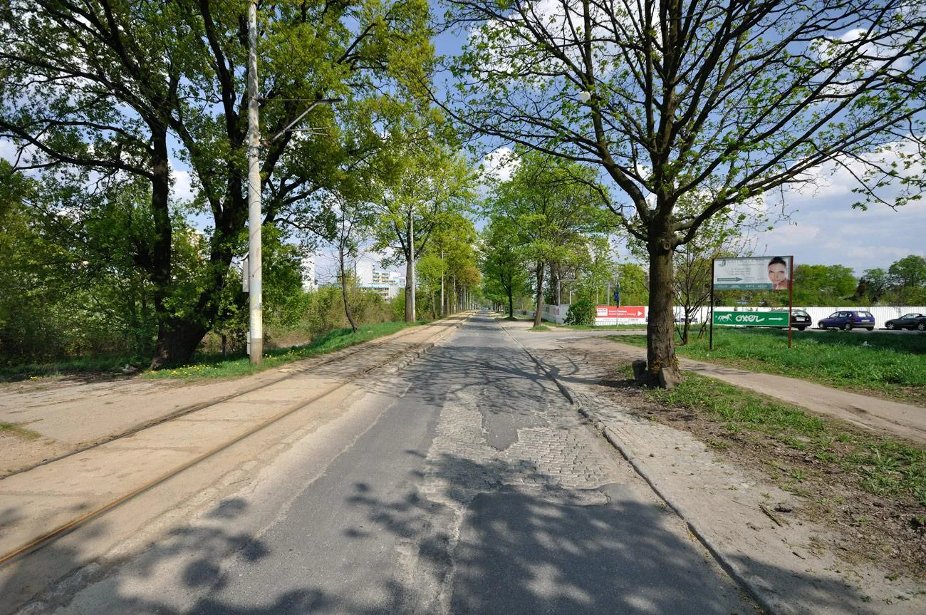
Wojszyce is a locality located in the Dolnośląskie region of Poland. Although not primarily known for its cycling infrastructure, Wojszyce offers a mix of urban and suburban roads suitable for road and gravel cycling. Cyclists will find a variety of terrain, including both flat roads and rolling hills. Unfortunately, there are no well-known cycling spots or famous climbs nearby Wojszyce. However, the city of Wrocław is within reach and offers a range of cycling-friendly amenities. While not a cycling destination in its own right, Wojszyce serves as a convenient base for exploring the wider region of Dolnośląskie and all the cycling opportunities it has to offer.4 km
4 km
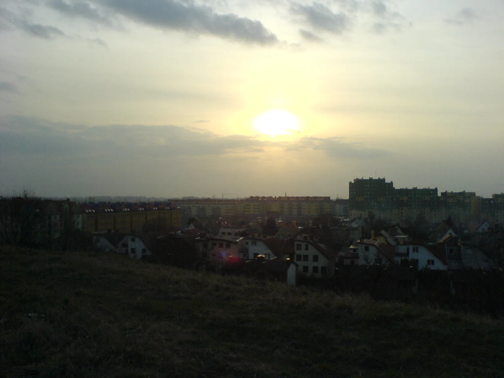
Wzgórze Bendera131 mPeakAt Wzgórze Bendera, take a break and marvel at the panoramic views of the surrounding area.
5 km
5 km
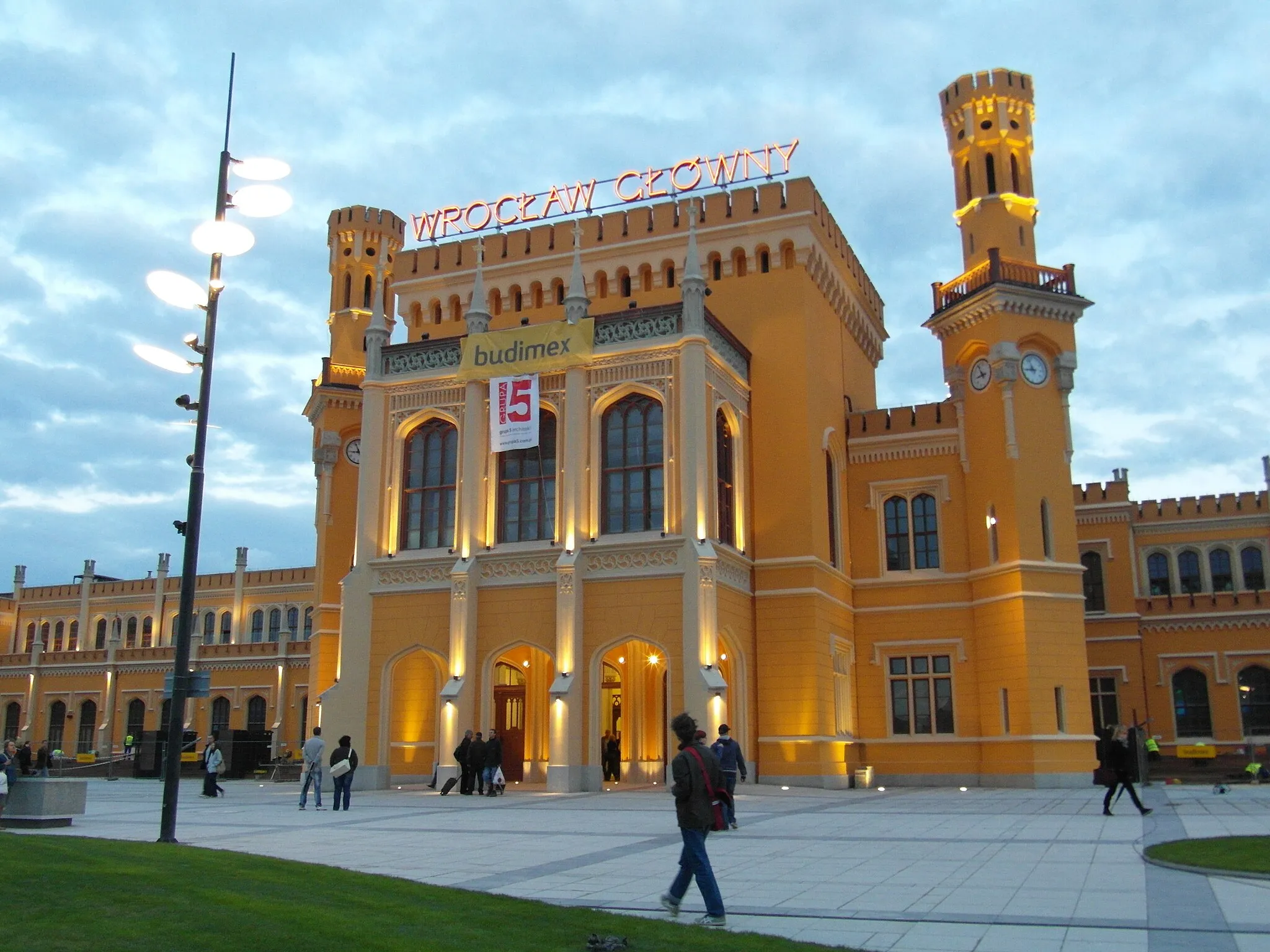
KrzykiSub-urbExplore the vibrant neighborhood of Krzyki and soak up its lively atmosphere.
14 km
14 km
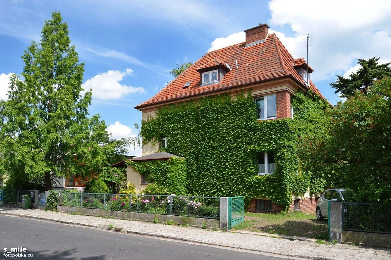
PopowiceSub-urbPass through Popowice, known for its charming streets and unique architecture.
19 km
19 km
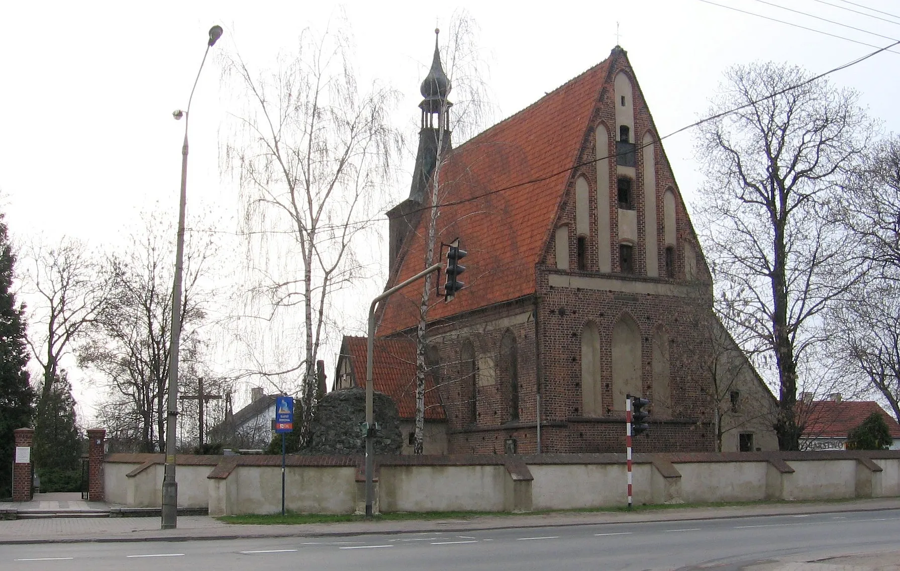
Szaniec Szwedzki126 mPeakVisit Szaniec Szwedzki, an important historical site from the Swedish invasion period.
39 km
39 km
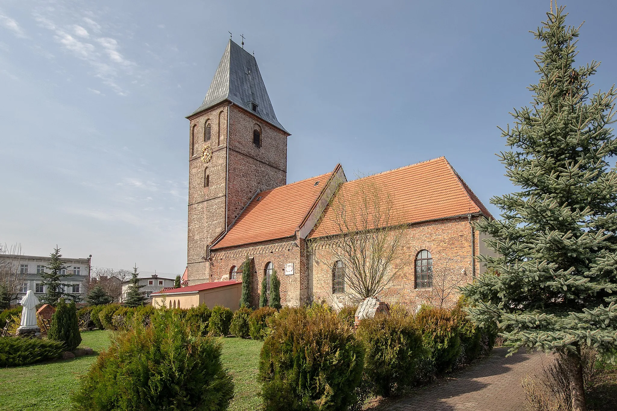
Wieża MatematycznaViewpointClimb the tower of Wieża Matematyczna and enjoy panoramic views of Wrocław.
44 km
44 km
Wzgórze Gajowe156 mPeakDiscover the natural beauty of Wzgórze Gajowe, a scenic hill perfect for a picnic.
48 km
48 km
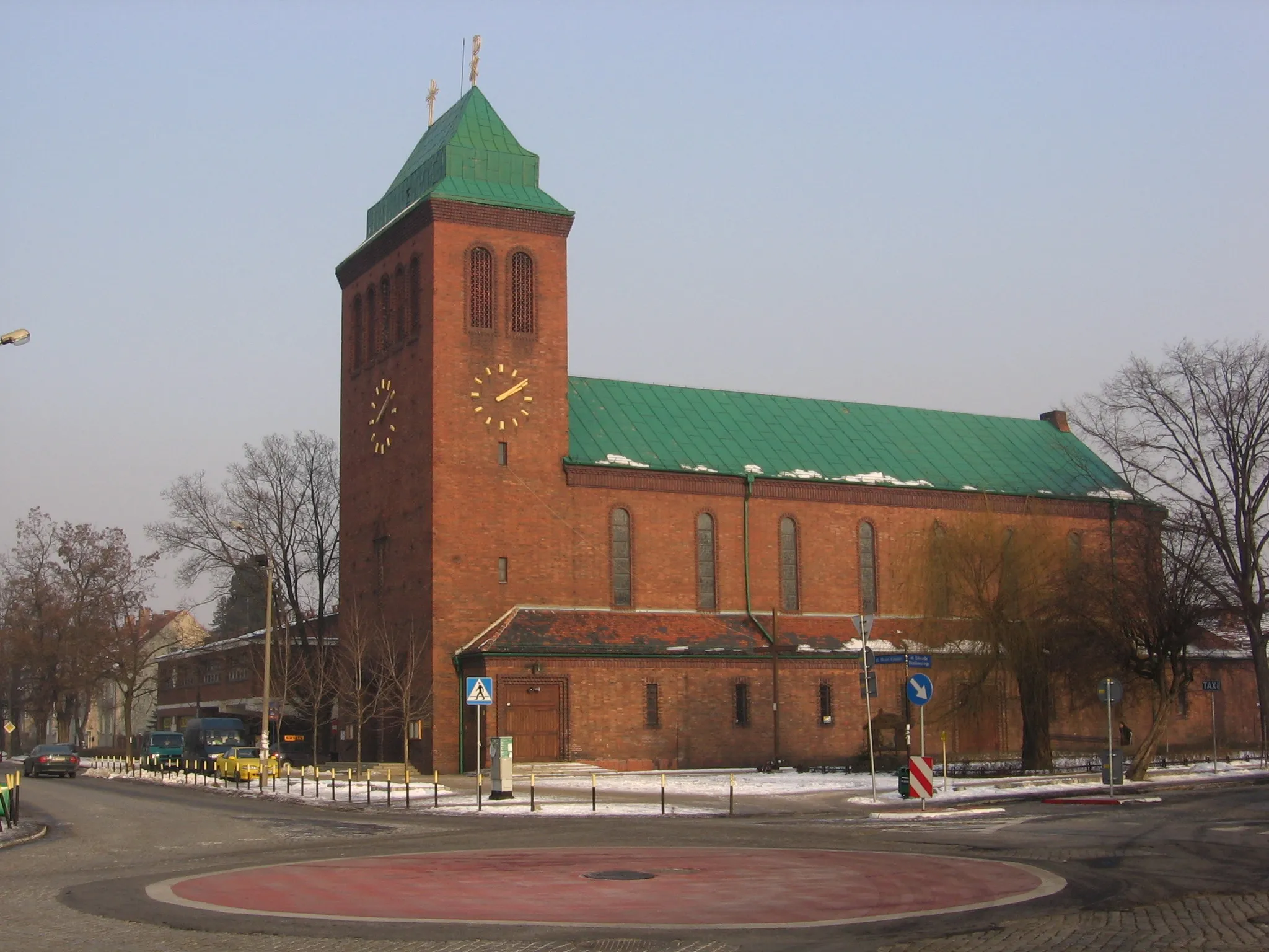
BiestrzykówVillagePause at Biestrzyków and admire its charming rural countryside.
48 km
48 km
Finish: Radomierzyce Village centerWojszyce: Urban and suburban roads for cycling near Wrocław
Cycling routes from Wojszyce:
Cycling routes nearby: