The Geodezyjne Challenge
A road cycling route starting from Strykow
Test your cycling skills on this challenging road route near Stryków
Map
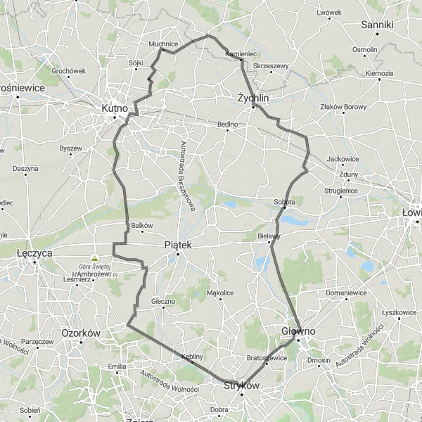
Challenge your cycling abilities on this demanding road route near Stryków. With a significant ascent of 234 meters and a distance of 134 kilometers, this route is designed for experienced cyclists seeking a physical and mental challenge. Highlights along the way include the famous Geodezyjne serce Polski at 49 kilometers, the historic town of Żychlin at 84 kilometers, and the picturesque Sobota at 105 kilometers.
road
134 km
234 m
Tough
Route profile
Highlights on the route
0 km
0 km
Start: Stryków City centerStryków: Exploring nature and nearby cycling events in a small Polish town
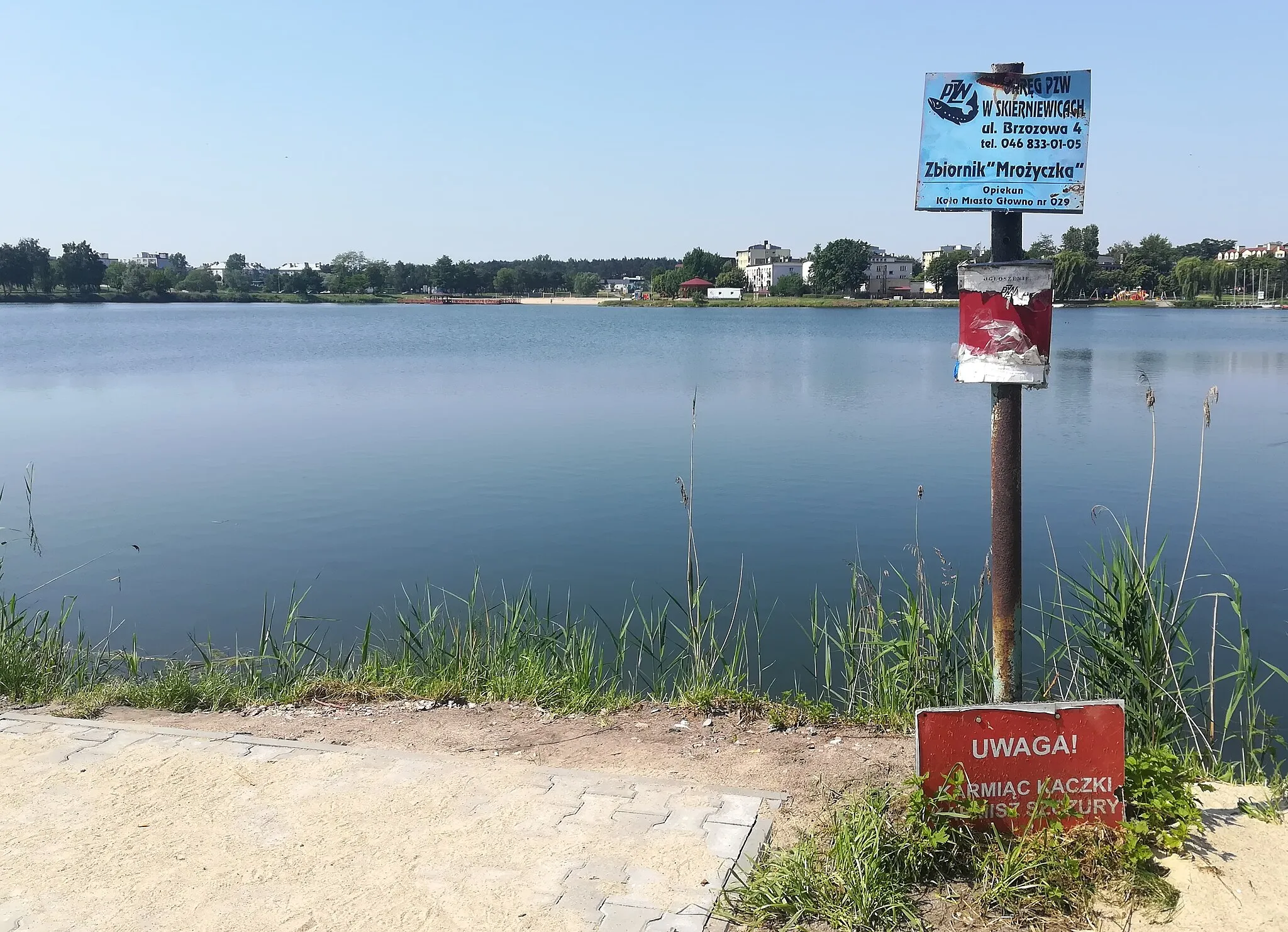
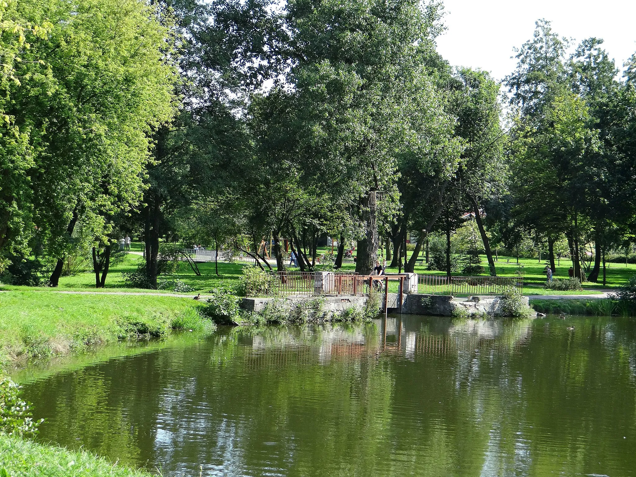
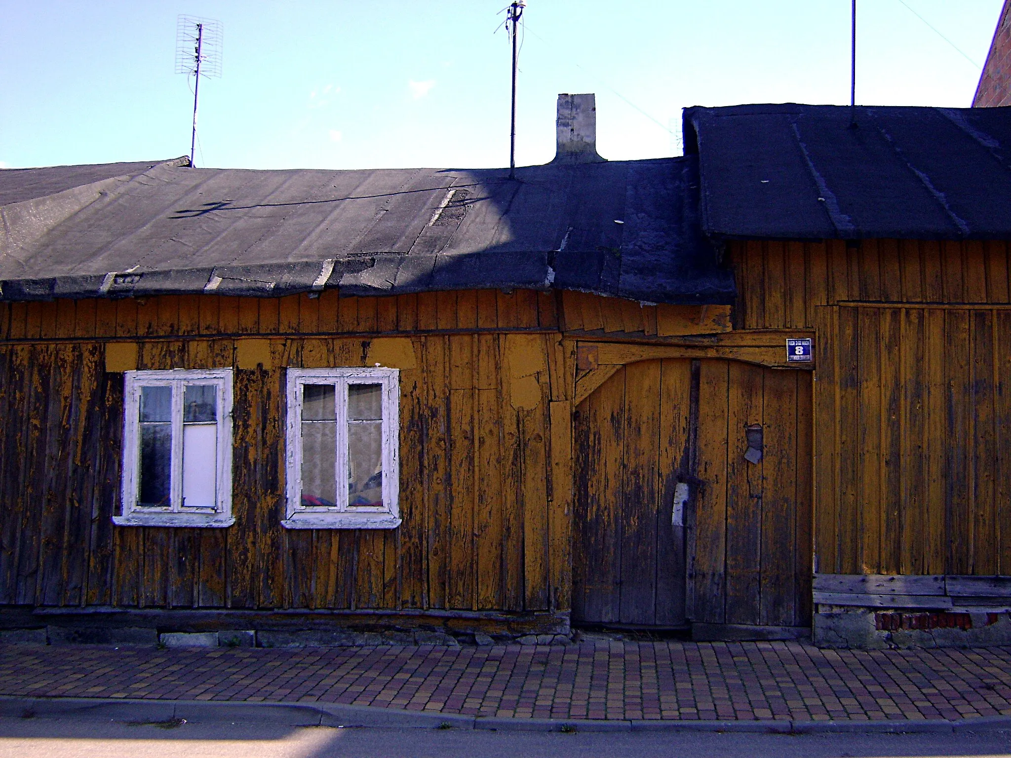
Stryków is a locality situated in the Łódzkie region of Poland. From a cyclist's perspective, it offers a mix of flat roads and gently rolling hills. The town itself is relatively small with a modest cycling infrastructure. However, the area is known for its proximity to picturesque forests and nature reserves, providing scenic routes for cyclists. Stryków is also close to Skierniewice, which is famous for its cycling events and offers well-known climbs and routes nearby. Overall, Stryków provides decent cycling opportunities for riders who want to explore nature in the region.49 km
49 km
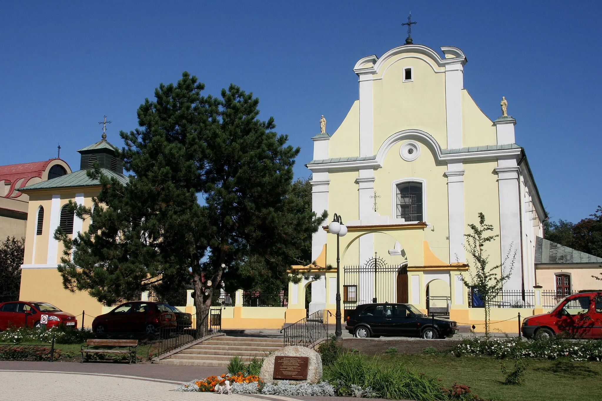
Geodezyjne serce PolskiAttractionGeodezyjne serce Polski, at the 49 kilometer mark, is a famous landmark known for its unique geographical significance.
84 km
84 km
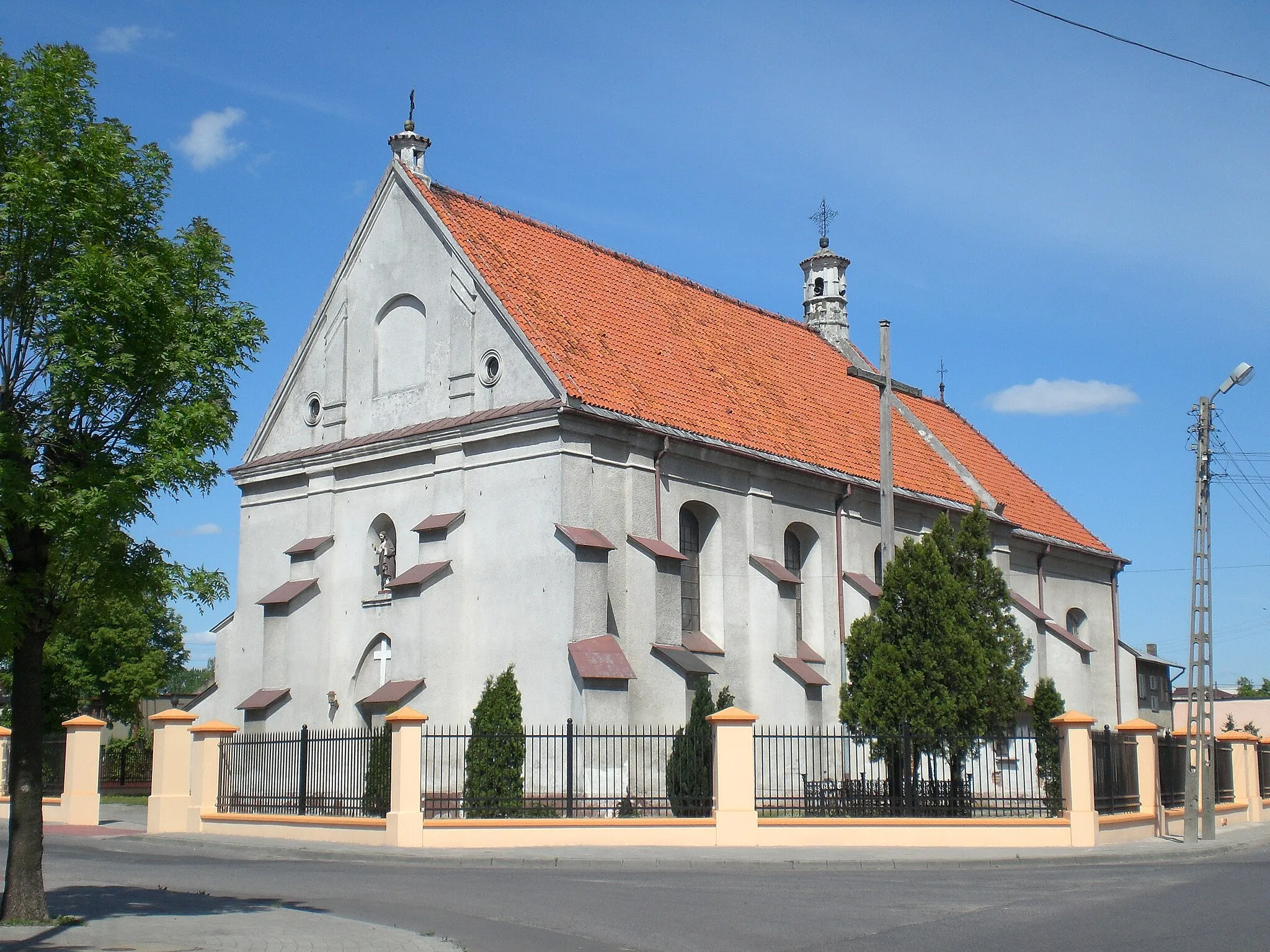
ŻychlinTownExplore the rich history and cultural heritage of Żychlin at the 84 kilometer mark, with its charming architecture and interesting sites.
105 km
105 km
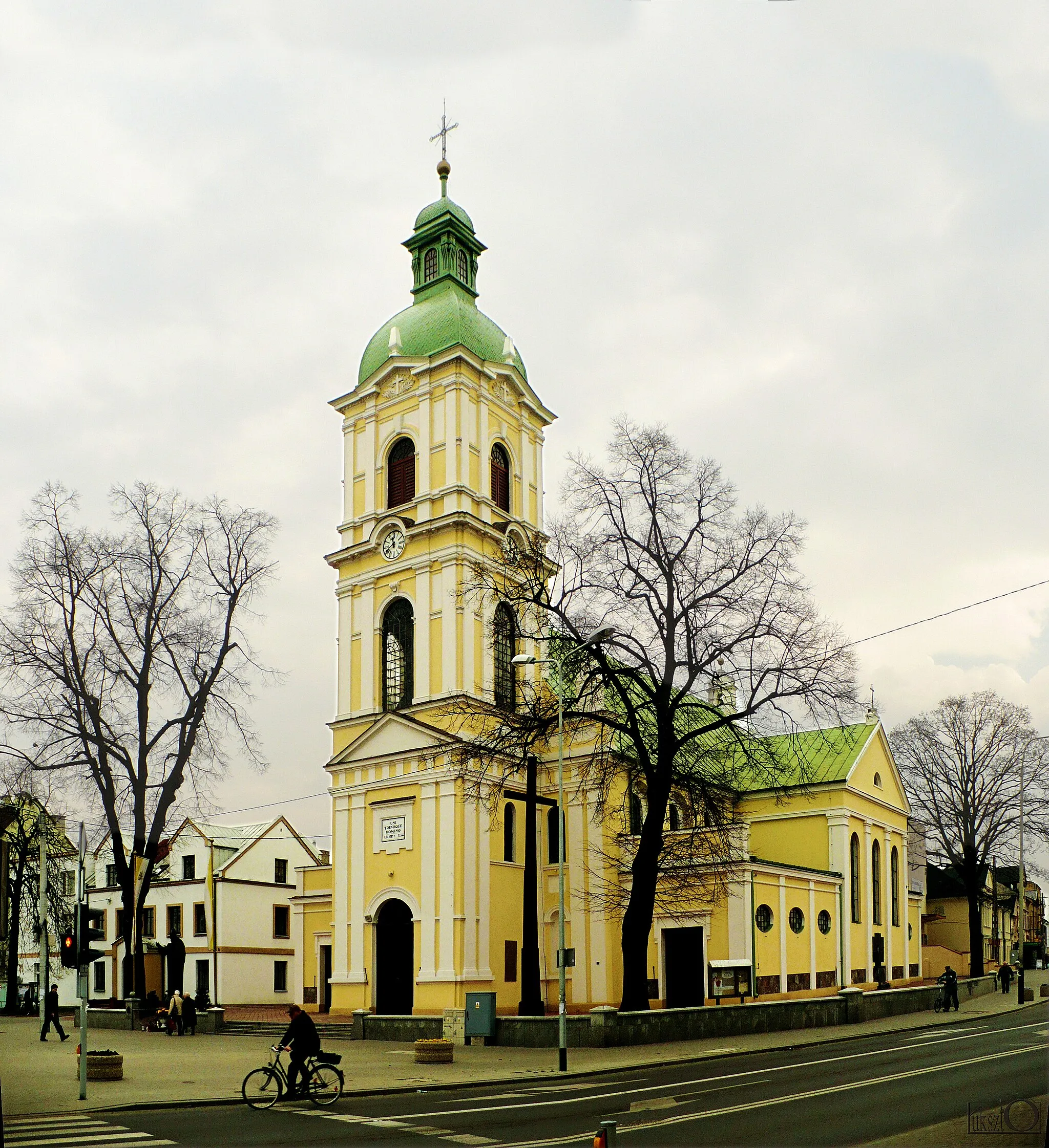
SobotaVillageSobota awaits endurance cyclists at the 105 kilometer mark, offering scenic views and a well-deserved rest.
134 km
134 km
Finish: Stryków City centerStryków: Exploring nature and nearby cycling events in a small Polish town
Cycling routes nearby: