Scenic Gravel Exploration in Lipinki
A gravel cycling route starting from Lipinki
Embark on an adventurous gravel cycling journey from Lipinki.
Map
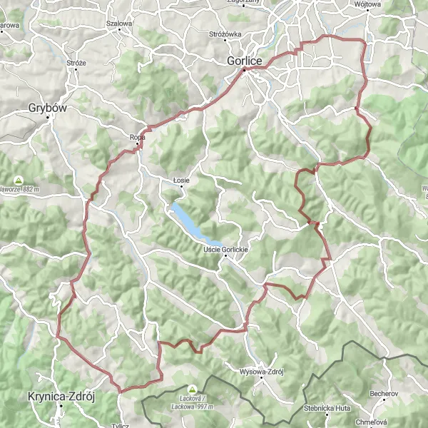
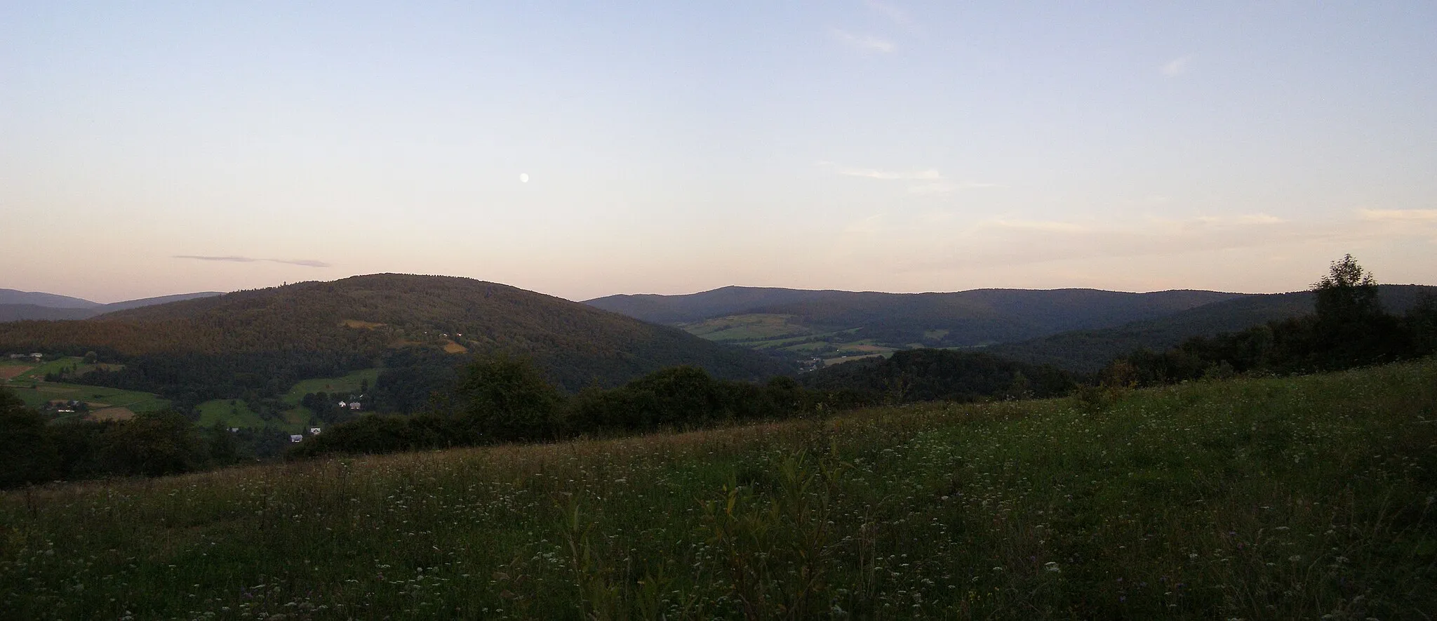
Venture into the gravel roads of Lipinki with this 104-kilometer route that presents a mix of scenic landscapes and thrilling challenges. The total ascent of 2,000 meters ensures an exhilarating experience for well-trained amateur cyclists. Highlights along the route include Rozdziele, Przełęcz Owczarska, and Żurawiec. Immerse yourself in the raw beauty of the Małopolskie region, where nature and culture harmoniously blend, making it a truly unforgettable cycling adventure.
gravel
104 km
2000 m
Tough
Route profile
Highlights on the route
0 km
0 km
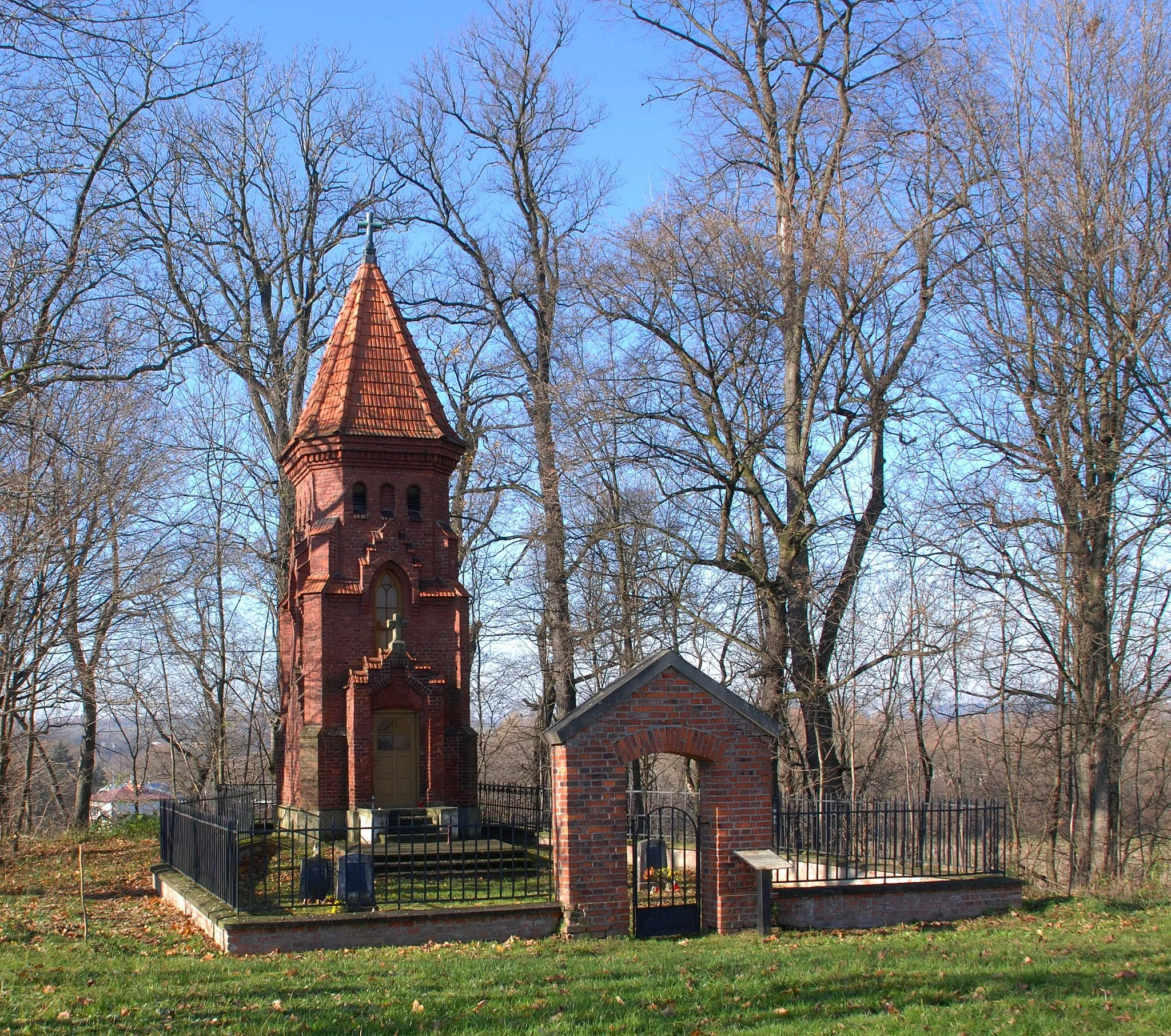
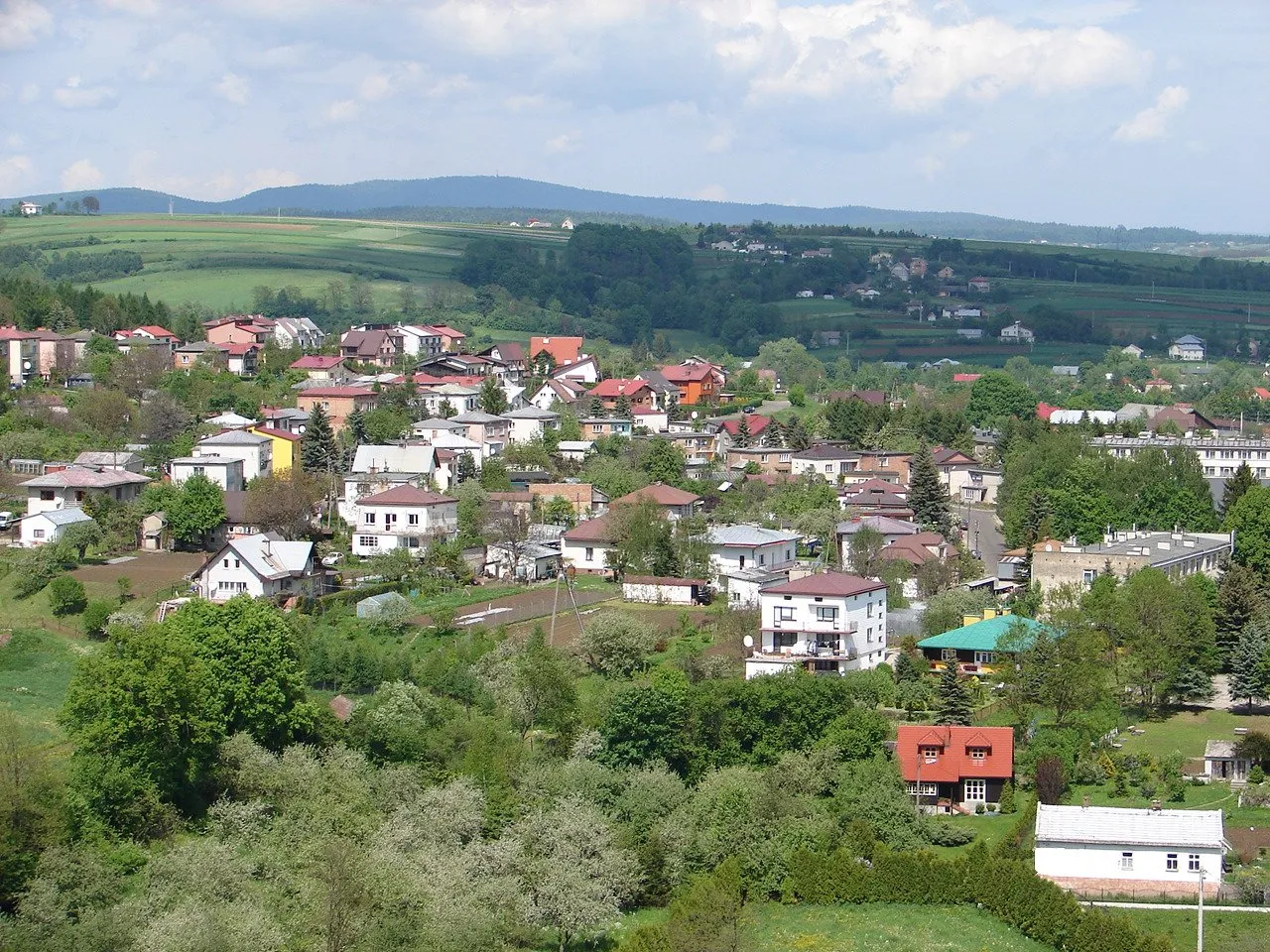
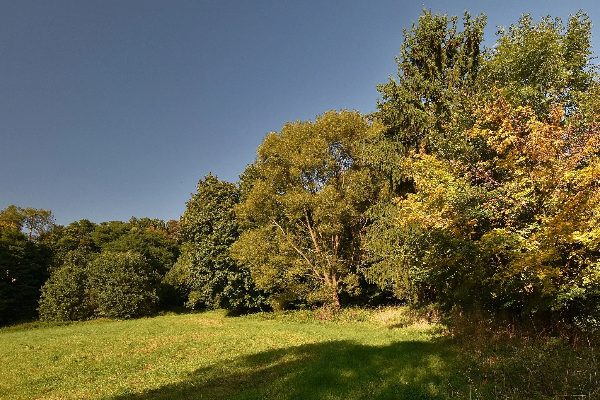
Start: Lipinki Village centerLipinki: Serene Cycling Haven in Małopolskie, Poland
Lipinki, located in Małopolskie, Poland, is a hidden gem for road and gravel cyclists. This peaceful locality offers beautiful rolling hills and scenic routes that are perfect for exploring on two wheels. The surrounding areas are dominated by picturesque nature, including the nearby Dunajec Gorge, where you can enjoy stunning views while cycling. Lipinki also provides various cyclist-friendly amenities and accommodation options, ensuring a comfortable stay for cyclists. Whether you are seeking a leisurely ride or a challenging cycling adventure, Lipinki offers a memorable experience for cyclists of all levels.3 km
3 km
RozdzieleVillageRozdziele, located 3 kilometers into the route, offers panoramic views of the surrounding mountains and valleys, providing a perfect backdrop for memorable cycling moments.
16 km
16 km
Przełęcz Owczarska501 mMountain PassPrzełęcz Owczarska, found 16 kilometers from the starting point, is a scenic mountain pass known for its captivating vistas and challenging terrain.
32 km
32 km
Banne583 mPeakBanne, situated 32 kilometers into the route, tempts cyclists with its beautiful landscapes and the opportunity to admire the idyllic charms of rural life.
38 km
38 km
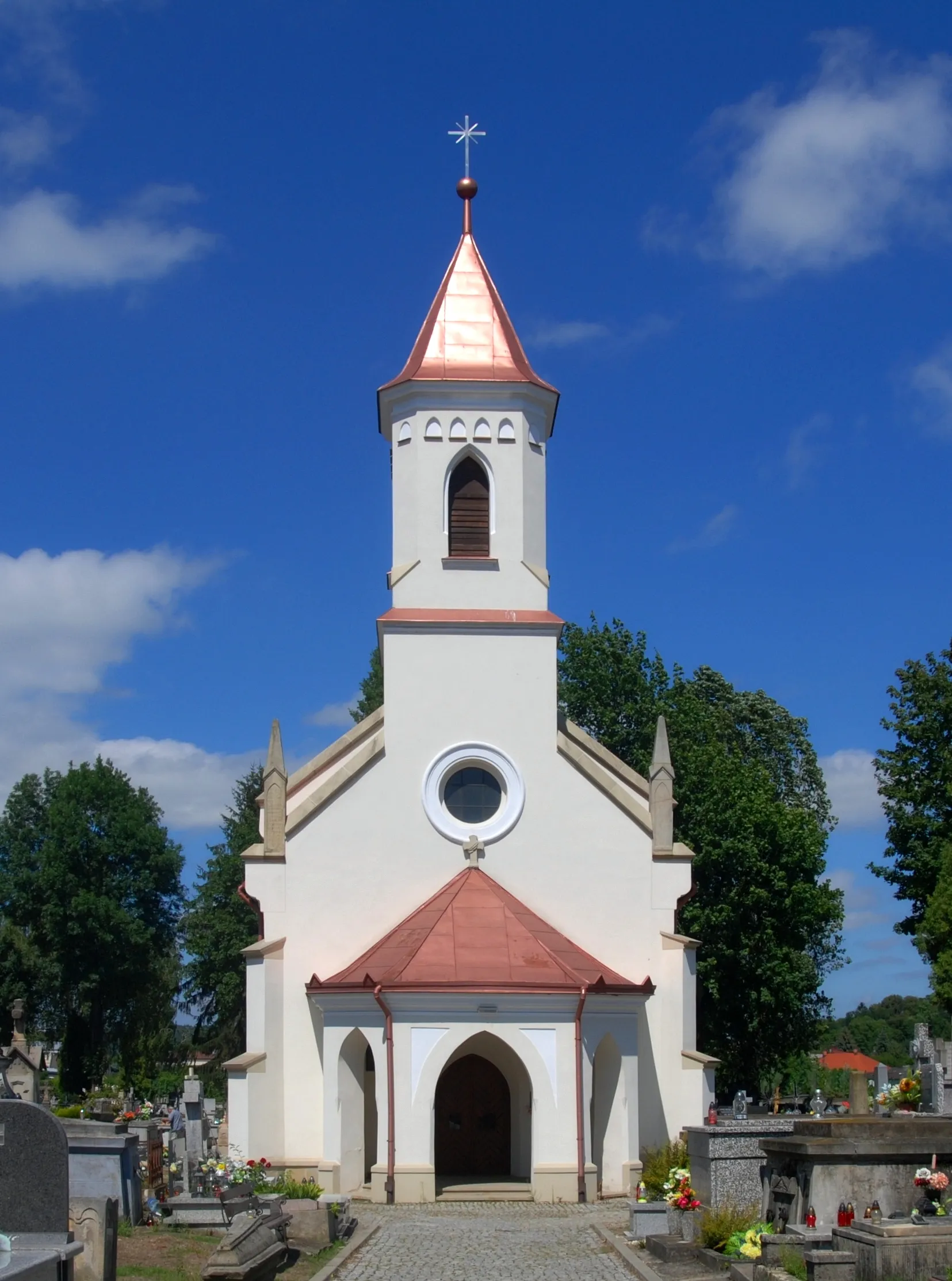
HańczowaVillageHańczowa, approximately 38 kilometers from the starting point, is a peaceful village surrounded by majestic peaks and lush meadows, offering a tranquil respite from the ride.
49 km
49 km
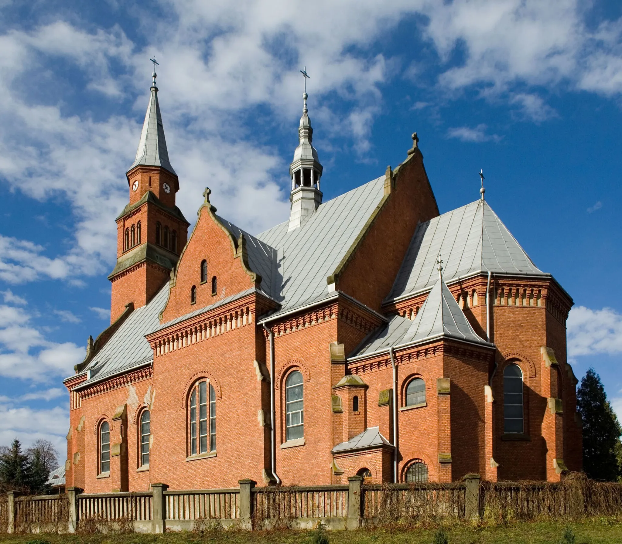
IzbyVillageIzby, located 49 kilometers into the journey, is known for its authentic architecture and serene atmosphere, providing a glimpse into local village life.
61 km
61 km
Huta742 mMountain PassHuta, approximately 61 kilometers into the route, offers a glimpse into the area's industrial heritage and the perfect spot to rest and refuel.
69 km
69 km
PolanyVillagePolany, situated 69 kilometers from the starting point, is a charming hamlet nestled in a scenic valley and an ideal spot to take a break and absorb the serenity.
72 km
72 km
Żurawiec528 mPeakŻurawiec, found 72 kilometers into the ride, captivates cyclists with its picturesque surroundings and offers a chance to explore the culture and history of the region.
91 km
91 km
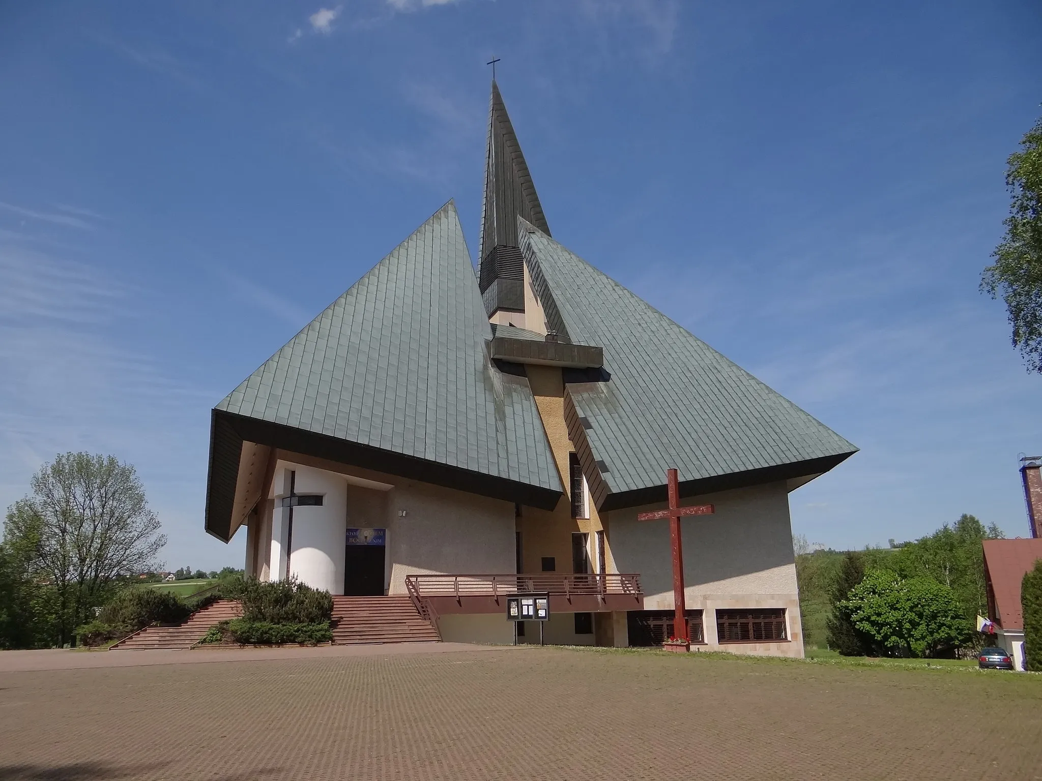
Ropica PolskaVillageRopica Polska, located 91 kilometers into the route, is a quaint village renowned for its well-preserved wooden architecture and panoramic mountain views.
94 km
94 km
Parkowa350 mPeakParkowa, situated at a distance of 94 kilometers along the route, is an inviting park perfect for taking a rest, surrounded by lush greenery and serene tranquility.
101 km
101 km
Libusza GórnaHamletLibusza Górna, located 101 kilometers from the starting point, offers a vantage point to admire the magnificent mountainous landscapes that surround the region.
104 km
104 km
Finish: Lipinki Village centerLipinki: Serene Cycling Haven in Małopolskie, Poland
Cycling routes nearby: