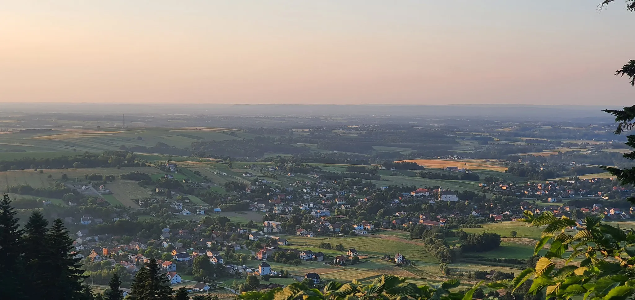
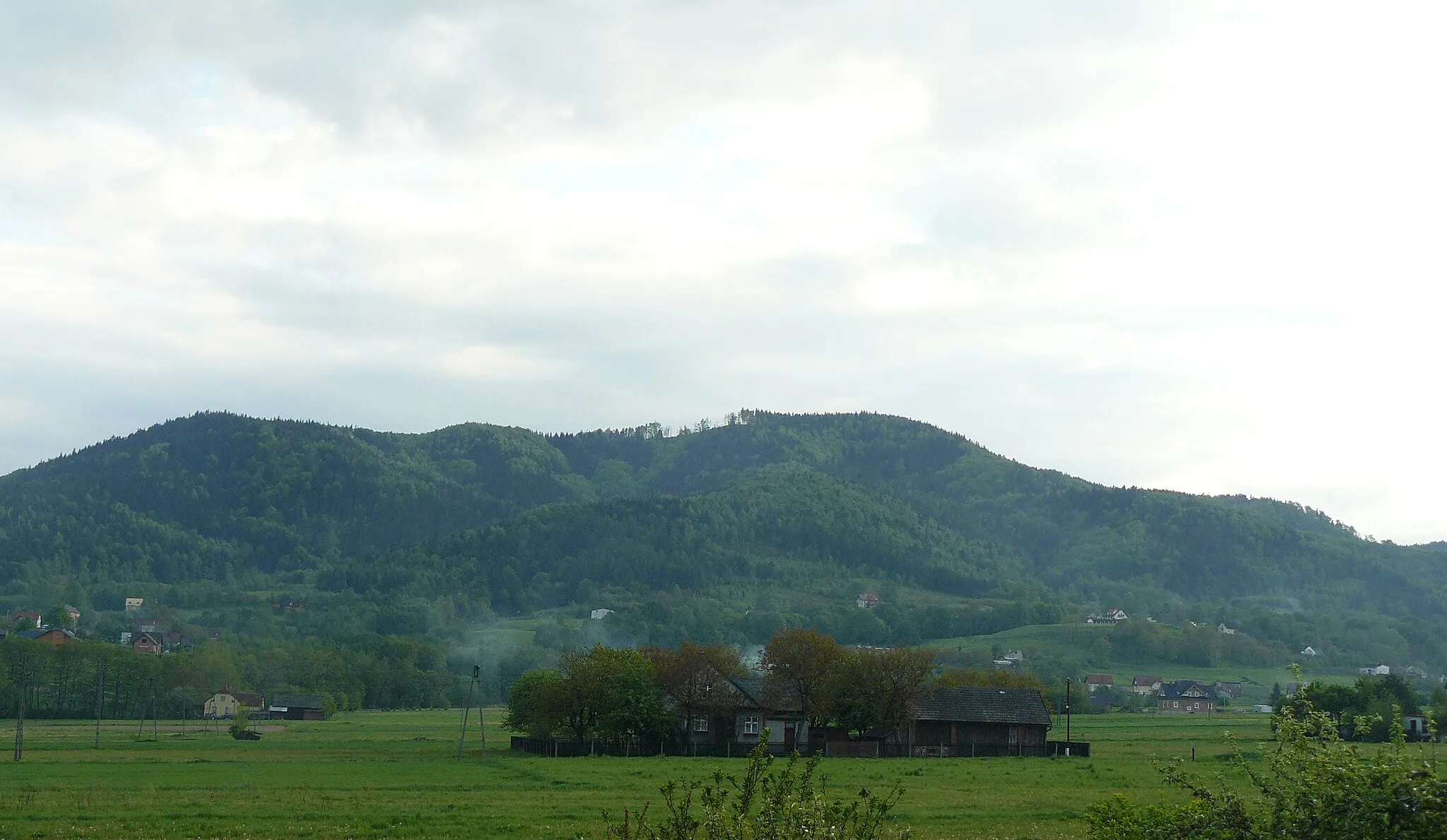
Leisurely rides through undulating hills in Małopolskie region.
Cycling routes from Zagornik
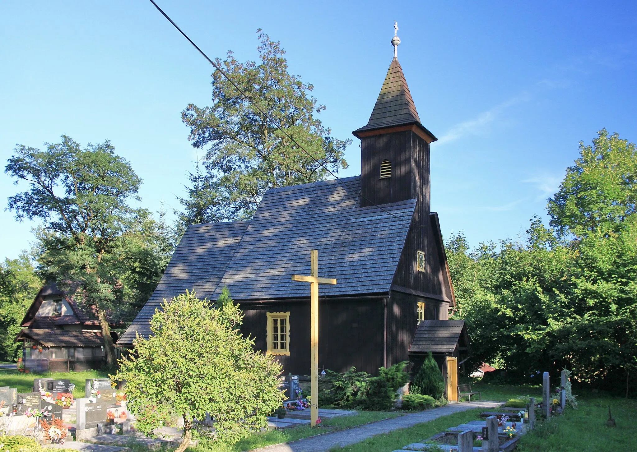
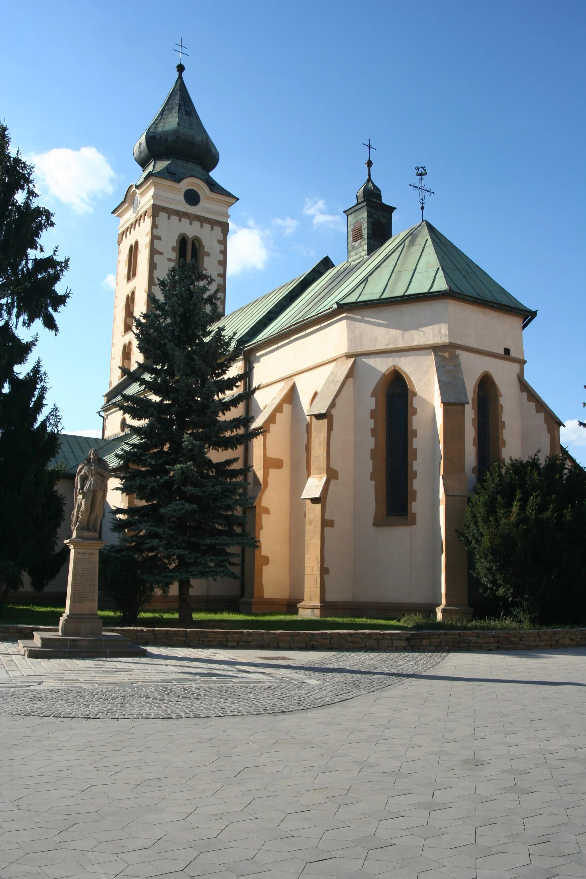
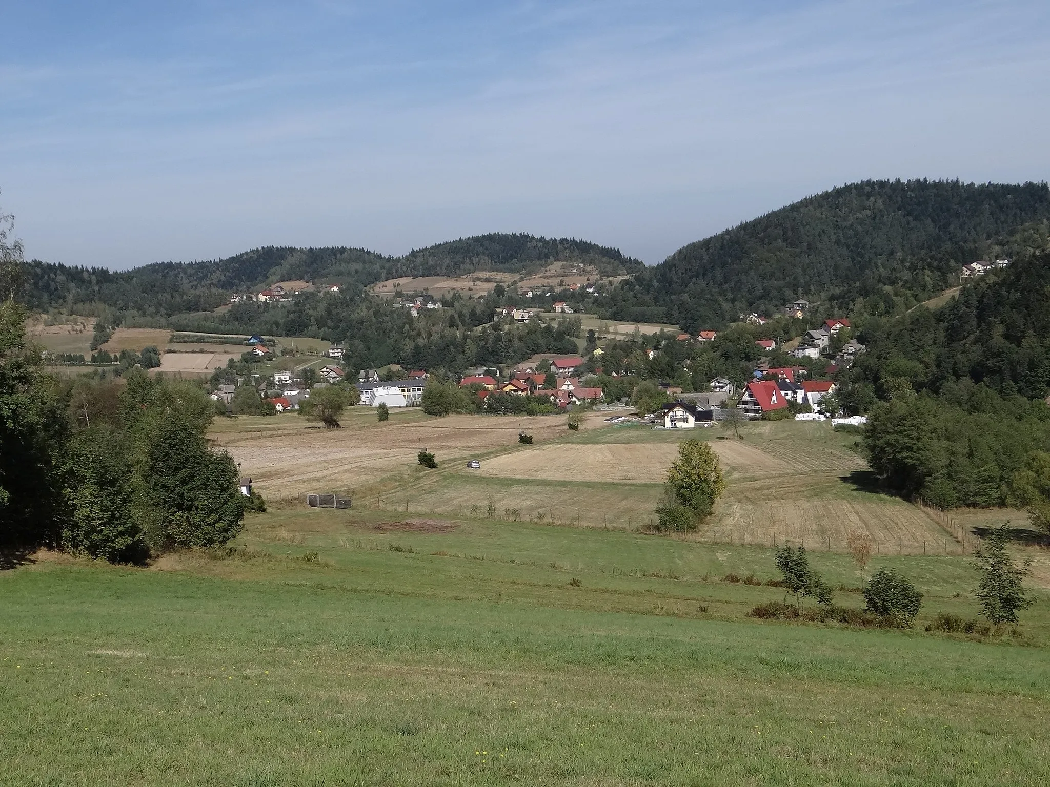
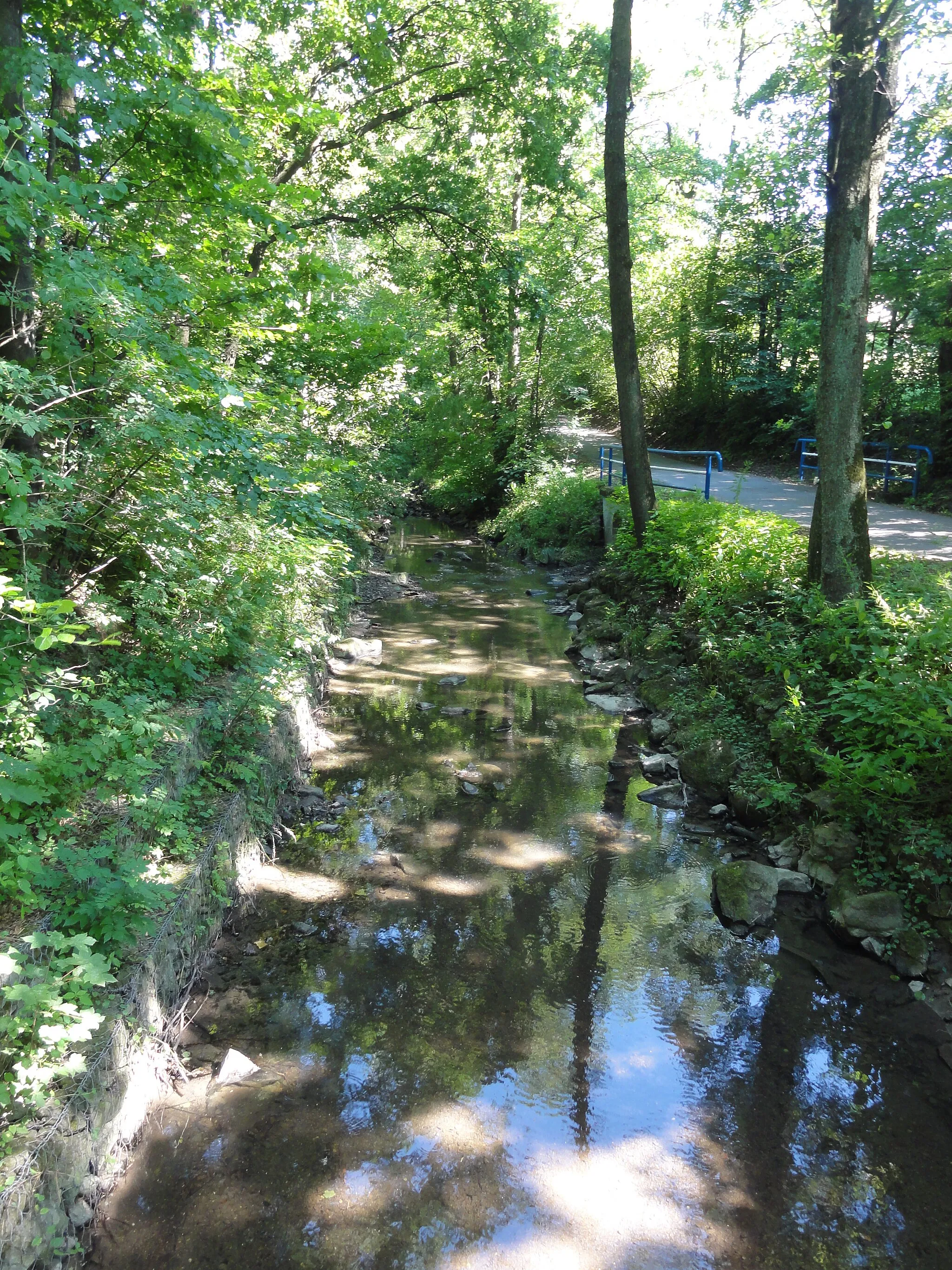
Zagórnik is a small locality situated in the Małopolskie region of Poland. From a cyclist's perspective, it offers a mix of road and gravel cycling routes. The region is characterized by undulating hills and charming countryside, making it perfect for leisurely rides or more challenging explorations. While there are no famous cycling spots or well-known climbs directly in Zagórnik, nearby areas like Ciężkowice Castle provide cultural highlights for cyclists looking to combine their rides with tourist attractions. With its beautiful landscapes and cycling-friendly atmosphere, Zagórnik is an excellent choice for cyclists exploring the Małopolskie region.
Embark on an exciting gravel adventure in the Beskids region of Poland
This route offers a challenging gravel cycling experience with a total ascent of 1524 meters over 53 kilometers. The route takes you through picturesque countryside with stunning views of the surrounding mountains. It is suitable for experienced cyclists who enjoy off-road riding.
Experience the breathtaking beauty of the Beskids region on this scenic road cycling route
This road cycling route offers a scenic journey through the Beskids region of Poland, with a total ascent of 801 meters over a distance of 59 kilometers. Enjoy the stunning views of the surrounding mountains and picturesque villages along the way. Suitable for intermediate level cyclists.
Forests and Summits
Embark on an adventurous gravel cycling journey through forests and conquer challenging summits near Zagórnik.
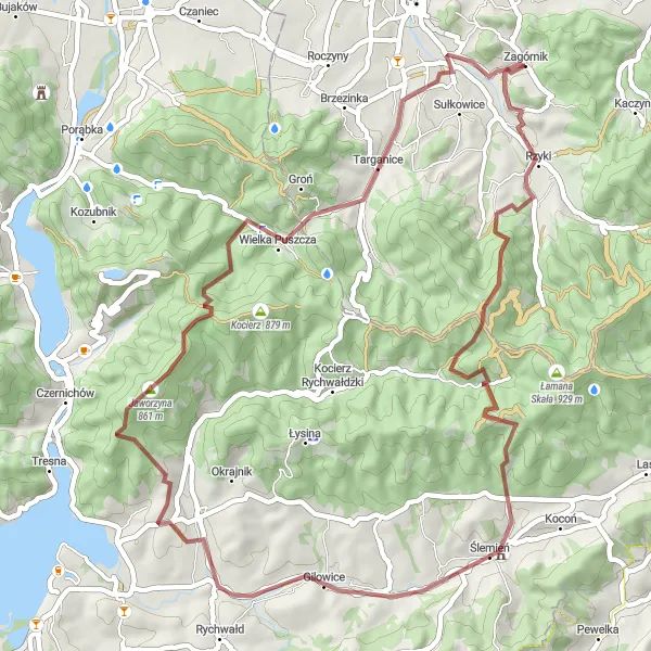
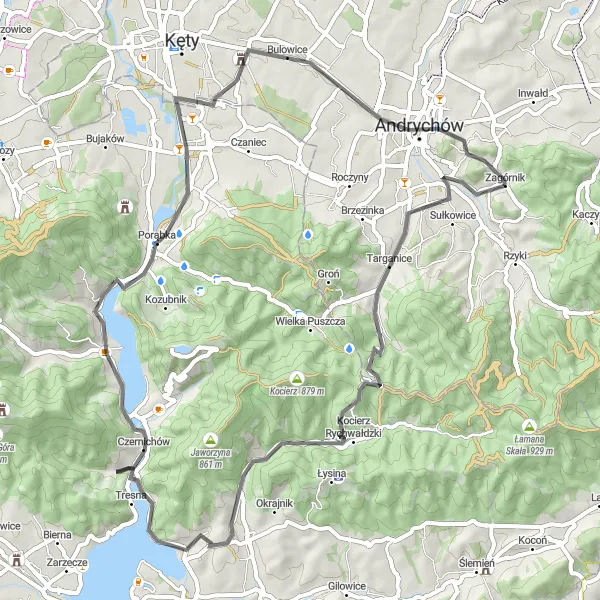
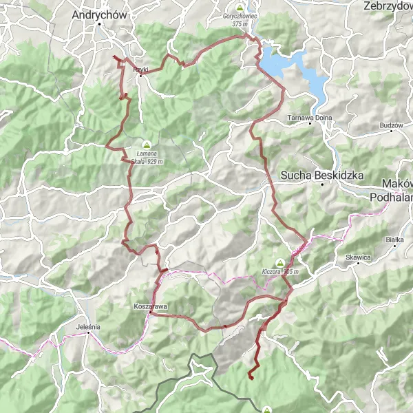
If you're looking for an adventurous cycling experience, the Forests and Summits route starting near Zagórnik is the perfect choice. Tackle challenging ascents and enjoy the breathtaking scenery as you cycle through dense forests and conquer scenic summits. With a total ascent of 2607 meters and a distance of 79 kilometers, this route is designed for experienced cyclists seeking a thrilling challenge. Highlights along the way include the stunning Przełęcz Kaczyńska mountain pass, the picturesque Świnna Poręba area, and the charming village of Śleszowice. Prepare to push your limits and be rewarded with unforgettable views and a sense of accomplishment on this epic gravel cycling route.
Embark on a cycling adventure through the beautiful landscapes of Silesia, Poland
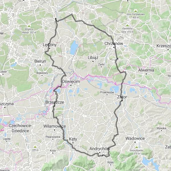
This road cycling route takes you through stunning landscapes of Silesia, with a total ascent of 720 meters over a distance of 136 kilometers. Explore charming villages, enjoy scenic views, and discover the rich cultural heritage of the region. Traveling through Silesia is a true delight for any cycling enthusiast.
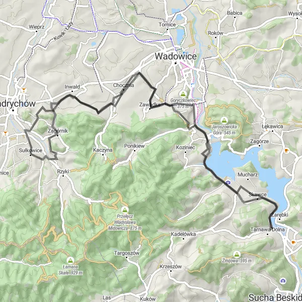
Meander through scenic country roads on this 58km road route.
Set off on a delightful journey through serene countryside along this 58km road route. With an ascent of 771m, this route offers a moderate challenge suitable for intermediate-level cyclists. Starting near Zagórnik, you'll pass through Łazy, Tomice, Sumerowa Góra, Gawroniec, Klecza Dolna, and finally reach Inwałd before making your way back. Immerse yourself in the peaceful rural surroundings and discover the charm of Małopolskie's less-traveled roads.
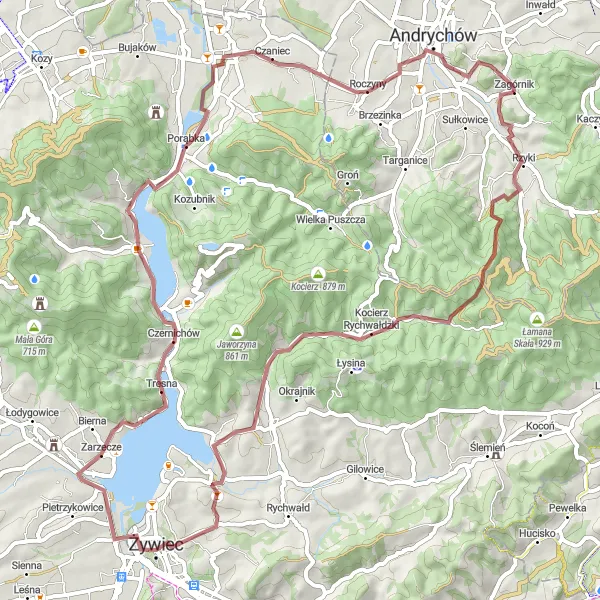
Immerse yourself in the beauty of Małopolskie's countryside and discover the serene Żywieckie Lake on this scenic gravel cycling route near Zagórnik.
The Lake and Countryside route near Zagórnik offers a delightful cycling experience, immersing you in the picturesque countryside of Małopolskie. Pedal along peaceful roads, pass by charming villages, and take in the serene beauty of Żywieckie Lake. With a total ascent of 1083 meters and a distance of 69 kilometers, this moderate-level gravel route is suitable for well-trained amateurs seeking a tranquil cycling adventure. Highlights along the way include the stunning Potrójna summit, the idyllic Kocierz Rychwałdzki and Kocierz Moszczanicki villages, and the scenic Żywieckie Lake. Get ready to be captivated by the charm and tranquility of the Polish countryside as you embark on this memorable cycling journey.
Road Explorer
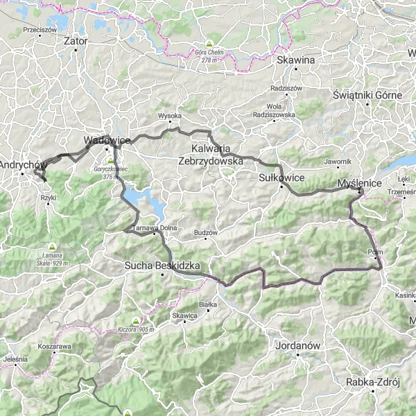
Conquer challenging climbs and uncover hidden gems on this 139km road route.
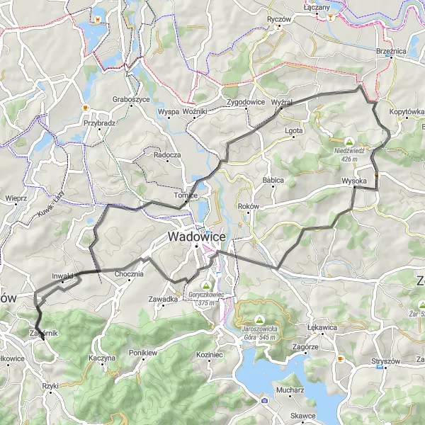
Gear up for a thrilling road adventure through the diverse landscapes of Małopolskie. Spanning 139km with a total ascent of 1613m, this route is perfect for experienced cyclists seeking a challenge. Starting near Zagórnik, you'll journey through Przełęcz Biedaszowska, Wadowice, Stróża, Cyrla, Skomielna Czarna, Bargłowa, Platforma widokowa, Śleszowice, Goryczkowiec, Inwałd, and finally reach the panoramic Widokówka viewpoint before heading back. With its mix of demanding climbs and stunning highlights, this road route will leave you awe-struck.
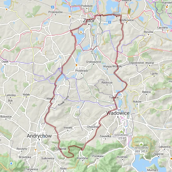
Experience the rugged beauty of Małopolskie on this 59km gravel route.
Embark on a gravel adventure through the picturesque Małopolskie region. With a total distance of 59km and an ascent of 565m, this route is perfect for cyclists looking to explore off-road trails. Along the way, you'll encounter charming villages and breathtaking natural landscapes. The route starts in Zagórnik and takes you through Łazy, Wieprz, Łowiczki, Bachowice, Tomice, Bliźniaki, Przełęcz Kaczyńska, and finally back to Zagórnik. With its mixture of gravel paths and scenic highlights, this route promises an unforgettable cycling experience.
Discover the hidden charms of Polish countryside on this scenic road cycling route
Explore the idyllic Polish countryside on this road cycling route, with a total ascent of 989 meters over 64 kilometers. Pass through picturesque villages, admire stunning landscapes, and enjoy the tranquility of nature. Suitable for intermediate level cyclists.
Mountainous Adventure
Embark on a thrilling mountainous adventure along this challenging gravel cycling route near Zagórnik.
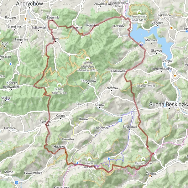
If you're seeking a mountainous challenge, look no further than the Mountainous Adventure route starting near Zagórnik. This epic gravel cycling journey will take you through rugged terrains, conquer daunting ascents, and reward you with breathtaking views. With a total ascent of 3062 meters and a distance of 106 kilometers, this route is reserved for experienced cyclists seeking an adrenaline-pumping adventure. Highlights along the way include the scenic Narożnik area, the picturesque village of Świnna Poręba, and the challenging Przełęcz Przysłop summit. Prepare to push your limits, soak in the majestic mountain landscapes, and experience the thrill of conquering this legendary gravel cycling route.
Cycling routes nearby:
Nearby regions: