Zlaté Hory Adventure
A gravel cycling route starting from Prudnik
Explore the natural wonders of Zlaté Hory on this thrilling gravel cycling adventure near Prudnik.
Map
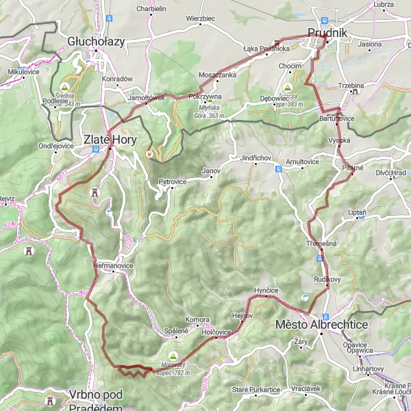
Experience the beauty of Zlaté Hory on this exciting 77-kilometer gravel route that includes an ascent of 1233 meters. The highlights along the route include Kozia Góra, Damašek, Holčovice, Ostrý, Zlaté Hory, Młyńska Góra, Glorieta, and Czyżykowa Góra.
gravel
77 km
1233 m
Tough
Route profile
Highlights on the route
0 km
0 km
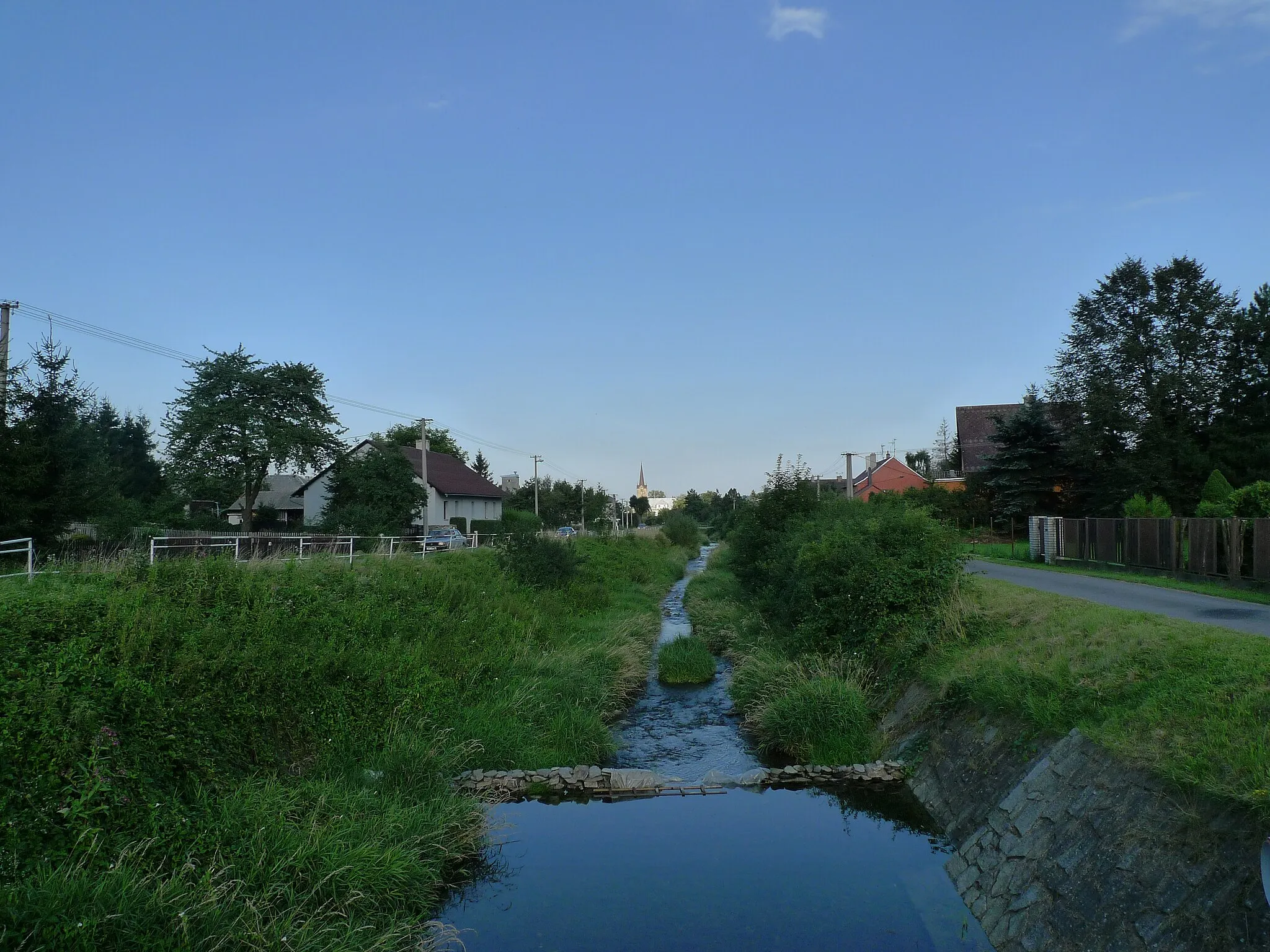
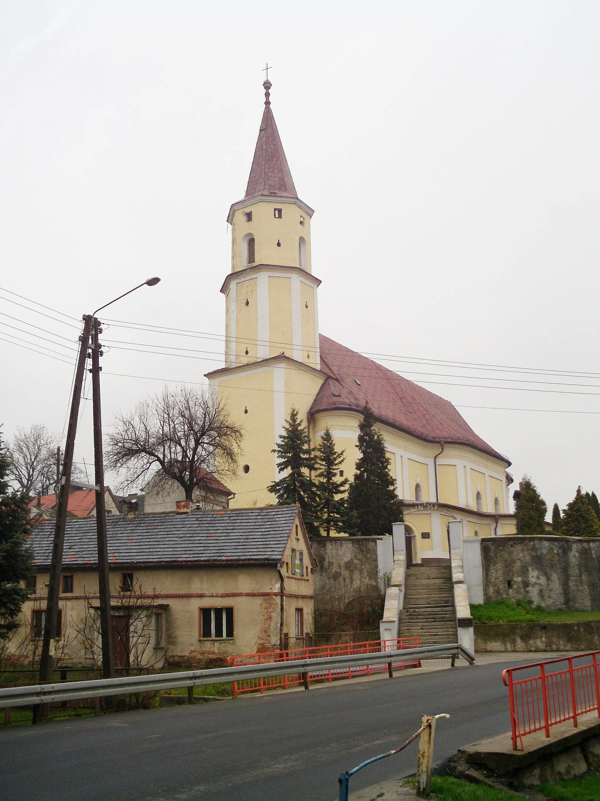
Start: Prudnik City centerPrudnik: Prudnik: Cycling Amongst Scenic Villages and Serene Rivers
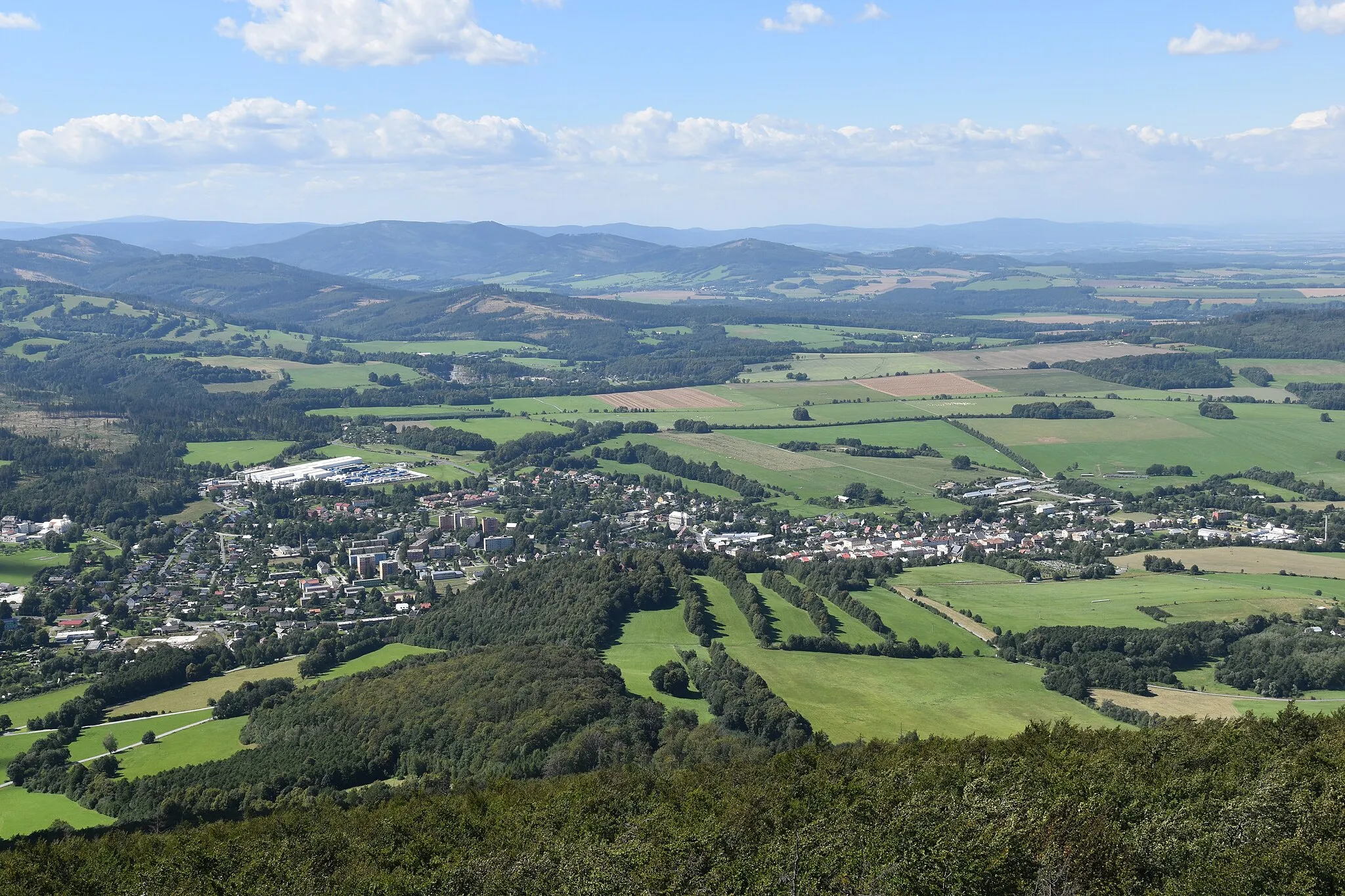
Prudnik in Opolskie, Poland, offers a pleasant locality for road and gravel cyclists. The area features a mix of scenic landscapes, including charming villages, rolling hills, and picturesque riversides. Nearby, cyclists can find the popular cycling spot known as Karkonosze National Park, famous for its challenging climbs like Szrenica and Śnieżka. Prudnik's cycling-friendly atmosphere and variety of routes make it an ideal destination for cyclists of all levels.4 km
4 km
Kozia Góra316 mPeakKozia Góra is a hill known for its unique rock formations and stunning panoramic views of the surrounding landscape.
16 km
16 km
DamašekHamletDamašek is a small village famous for its 18th-century chapel and traditional architecture.
30 km
30 km
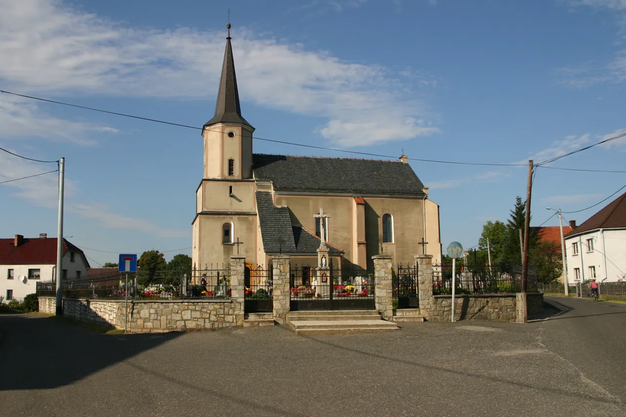
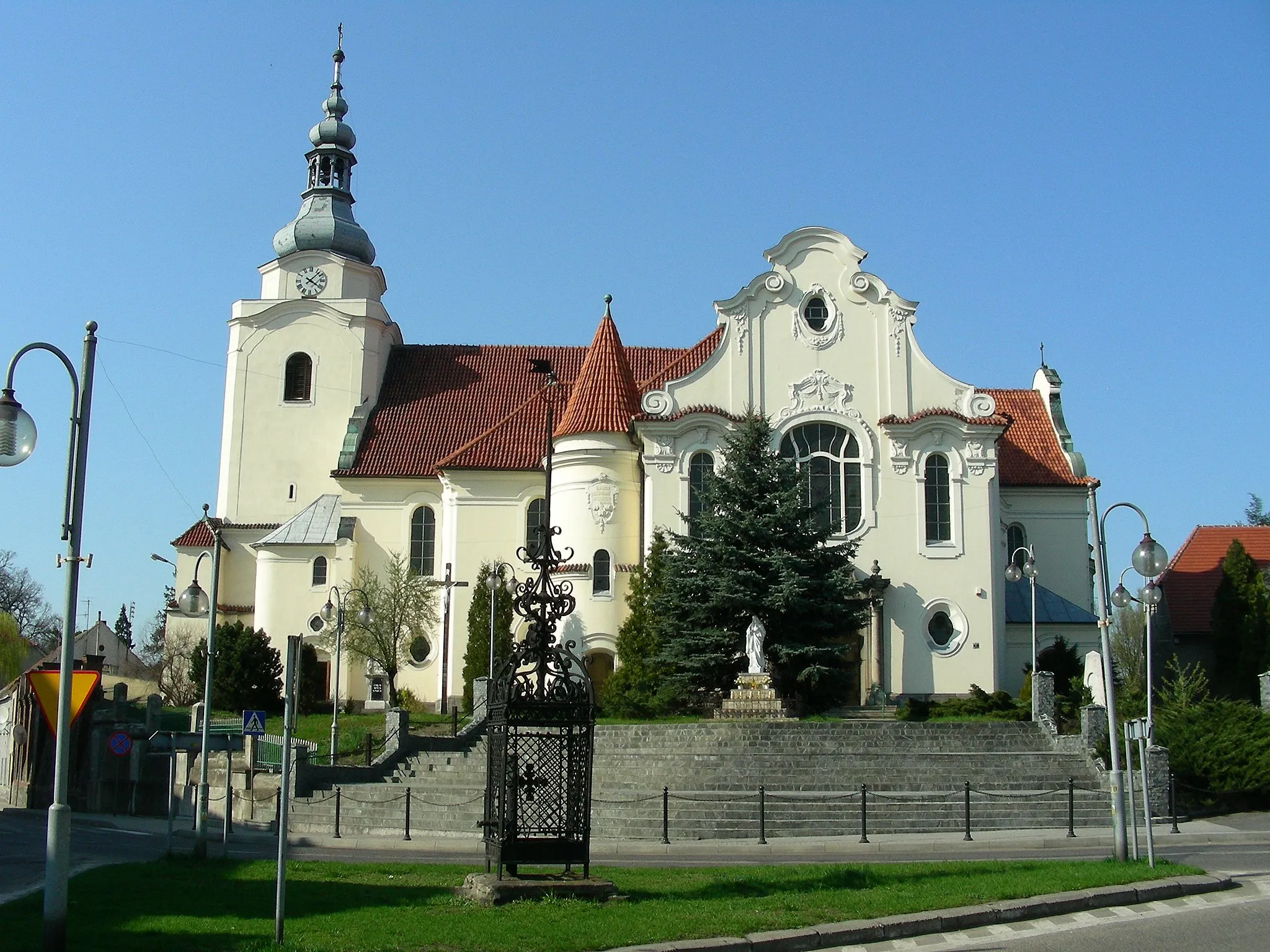
HolčoviceVillageHolčovice is a charming village with well-preserved historic buildings, including a beautiful church and manor house.
37 km
37 km
Ostrý819 mPeakOstrý is a picturesque hill offering panoramic views of the forests and rolling hills of Opolskie.
61 km
61 km
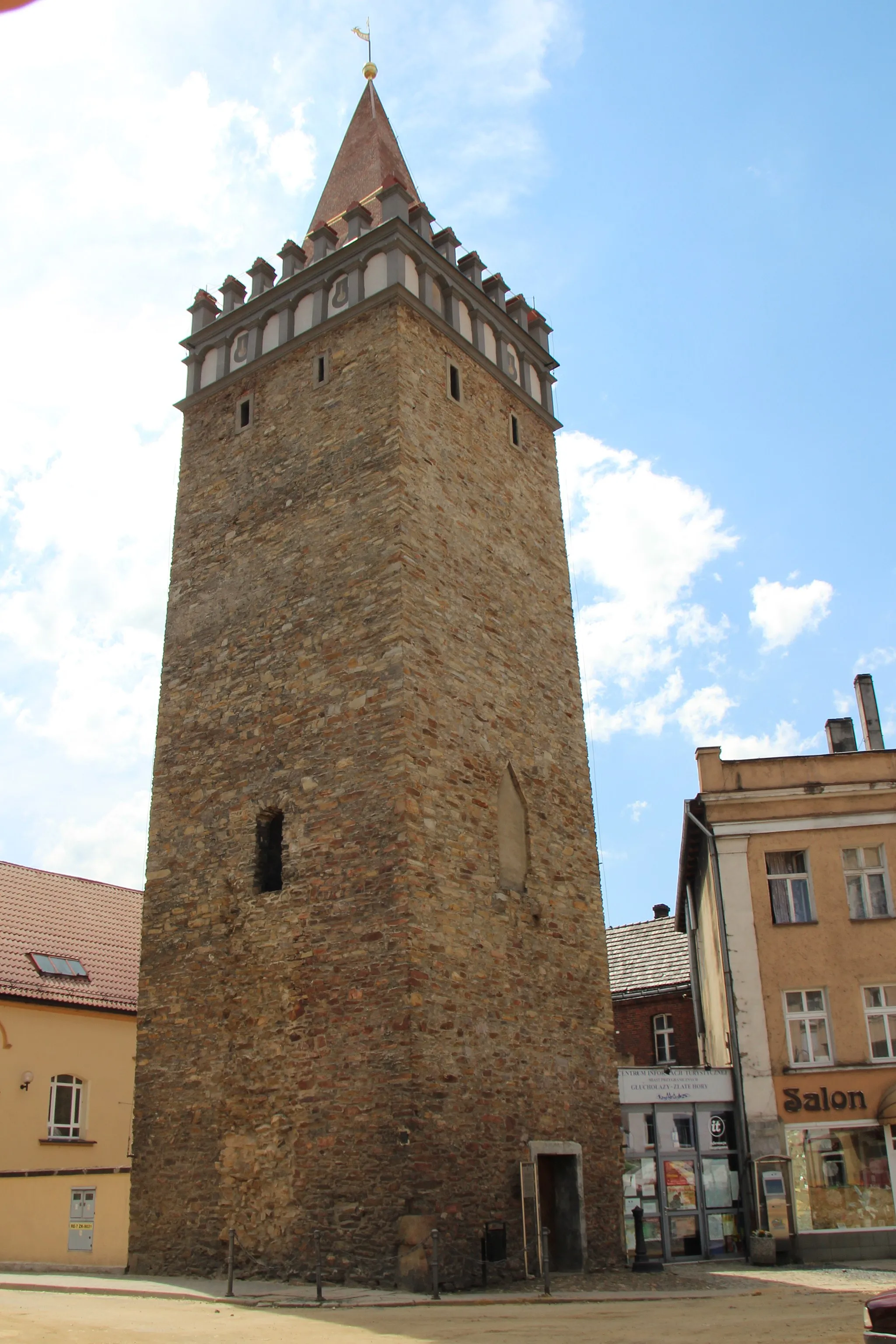
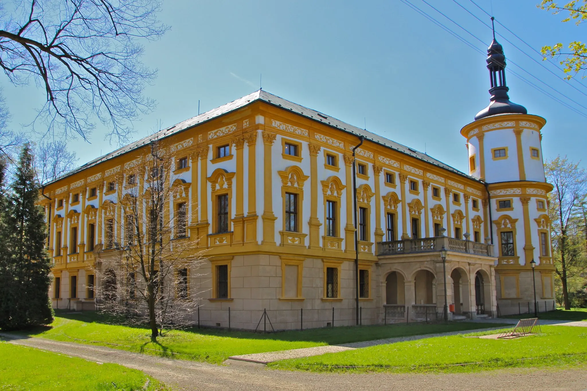
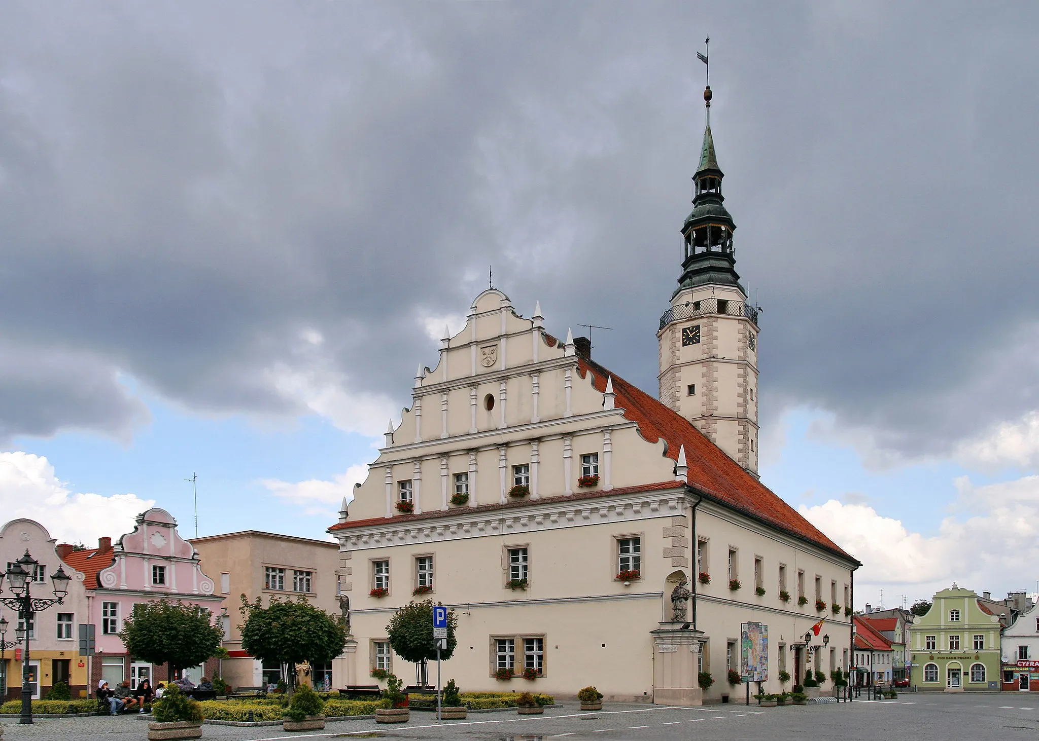
Zlaté HoryTownZlaté Hory is a historic town with a rich mining heritage and stunning architecture.
68 km
68 km
Młyńska Góra363 mPeakMłyńska Góra is a hill known for its historic windmills and offers spectacular views of the surrounding countryside.
77 km
77 km
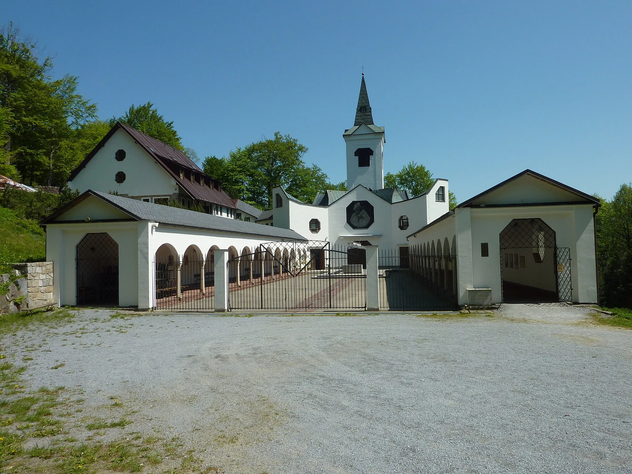
GlorietaShelterGlorieta is a renowned monument in Mikulovice, commemorating an important historical event.
77 km
77 km
Finish: Prudnik City centerPrudnik: Prudnik: Cycling Amongst Scenic Villages and Serene Rivers
Cycling routes nearby: