Countryside Charm
A road cycling route starting from Jaworzynka
Discover the hidden gems of the peaceful countryside
Map
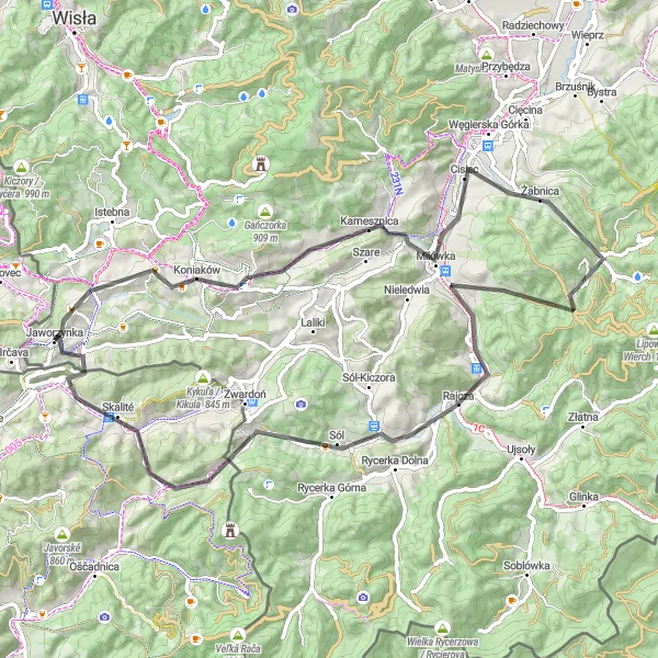
Uncover the natural and cultural treasures of the Śląskie countryside with this 74-kilometer road cycling route starting from Jaworzynka. With a total ascent of 1206 meters, this ride offers a perfect blend of tranquility and charm. Highlights along the way include Koniaków, Ochodzita, Kamesznica, Abrahamów, Kopiec, Sól, Švancarov grúň, and Skalité. Rated as a difficulty level 3, this route is ideal for moderately experienced cyclists looking for a delightful adventure amidst idyllic surroundings.
road
74 km
1206 m
Tough
Route profile
Highlights on the route
0 km
0 km
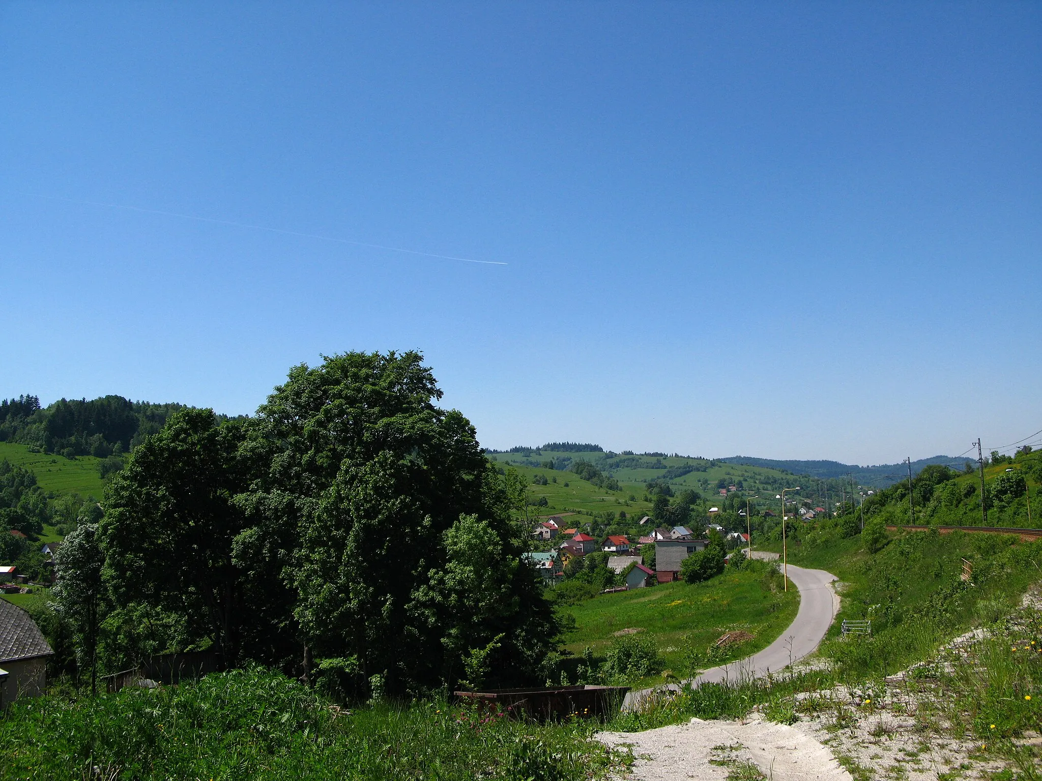
Start: Jaworzynka Village centerJaworzynka: Serene town surrounded by beautiful countryside.
Jaworzynka is a town in the Śląskie region of Poland. It offers moderate cycling opportunities, with a mix of rural roads and some hilly terrain. While there are no famous cycling-related spots or well-known climbs in the immediate vicinity, Jaworzynka is surrounded by beautiful countryside, making it a pleasant destination for road and gravel cyclists. Overall, it is a suitable location for those looking for a peaceful cycling experience.8 km
8 km
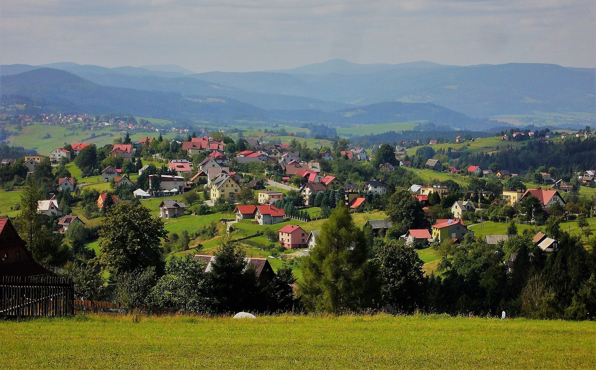
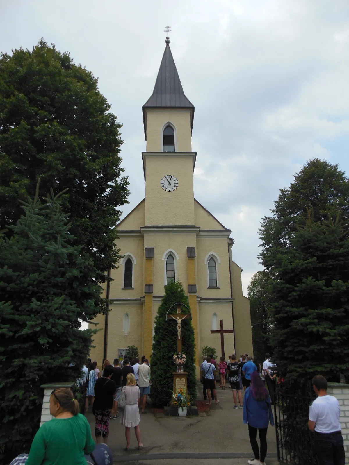
KoniakówVillageVisit Koniaków and get immersed in the rich folklore and timeless traditions of this charming village.
9 km
9 km
Ochodzita895 mPeakExplore Ochodzita and discover its hidden corners filled with natural beauty and serenity.
17 km
17 km
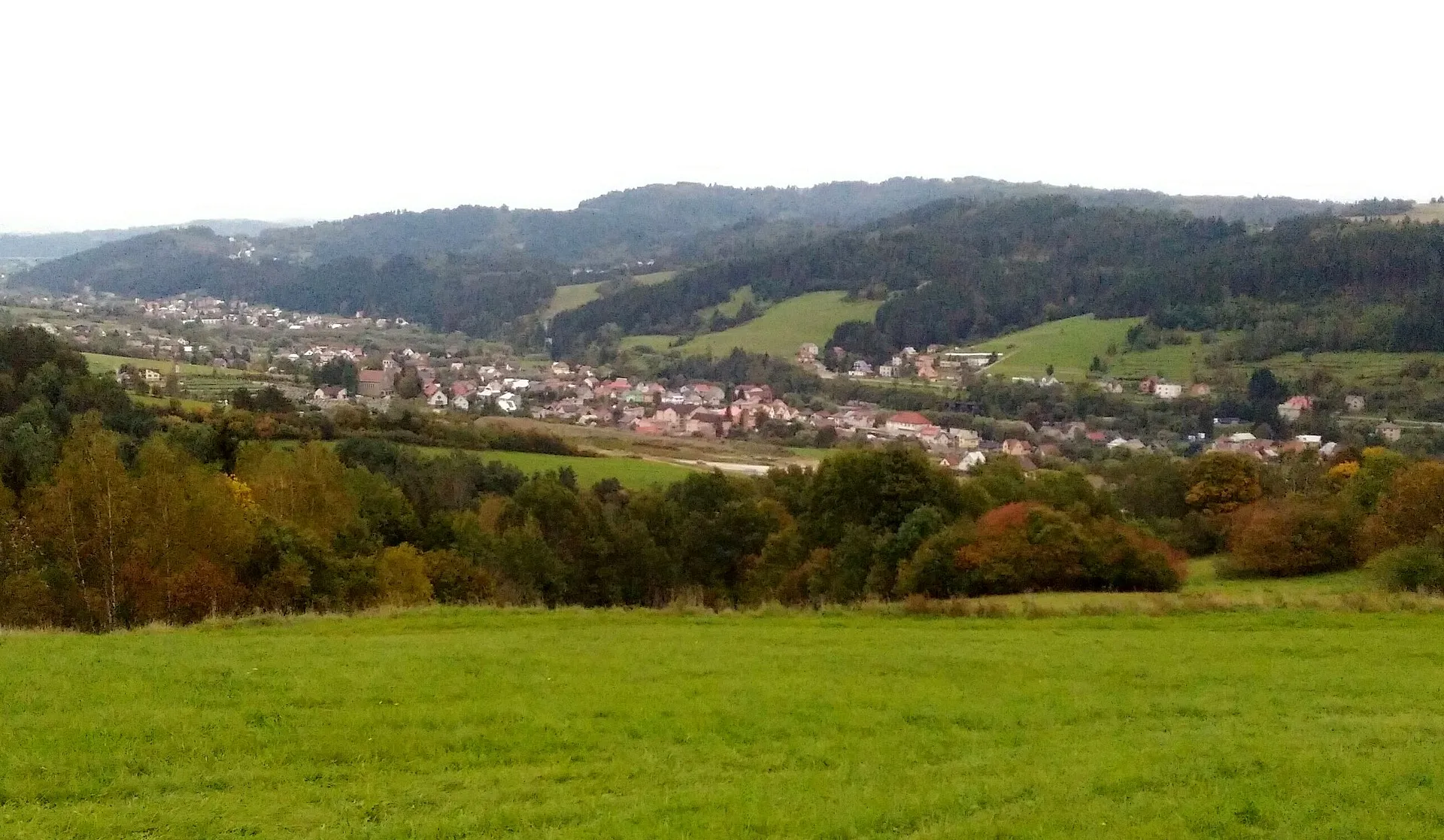
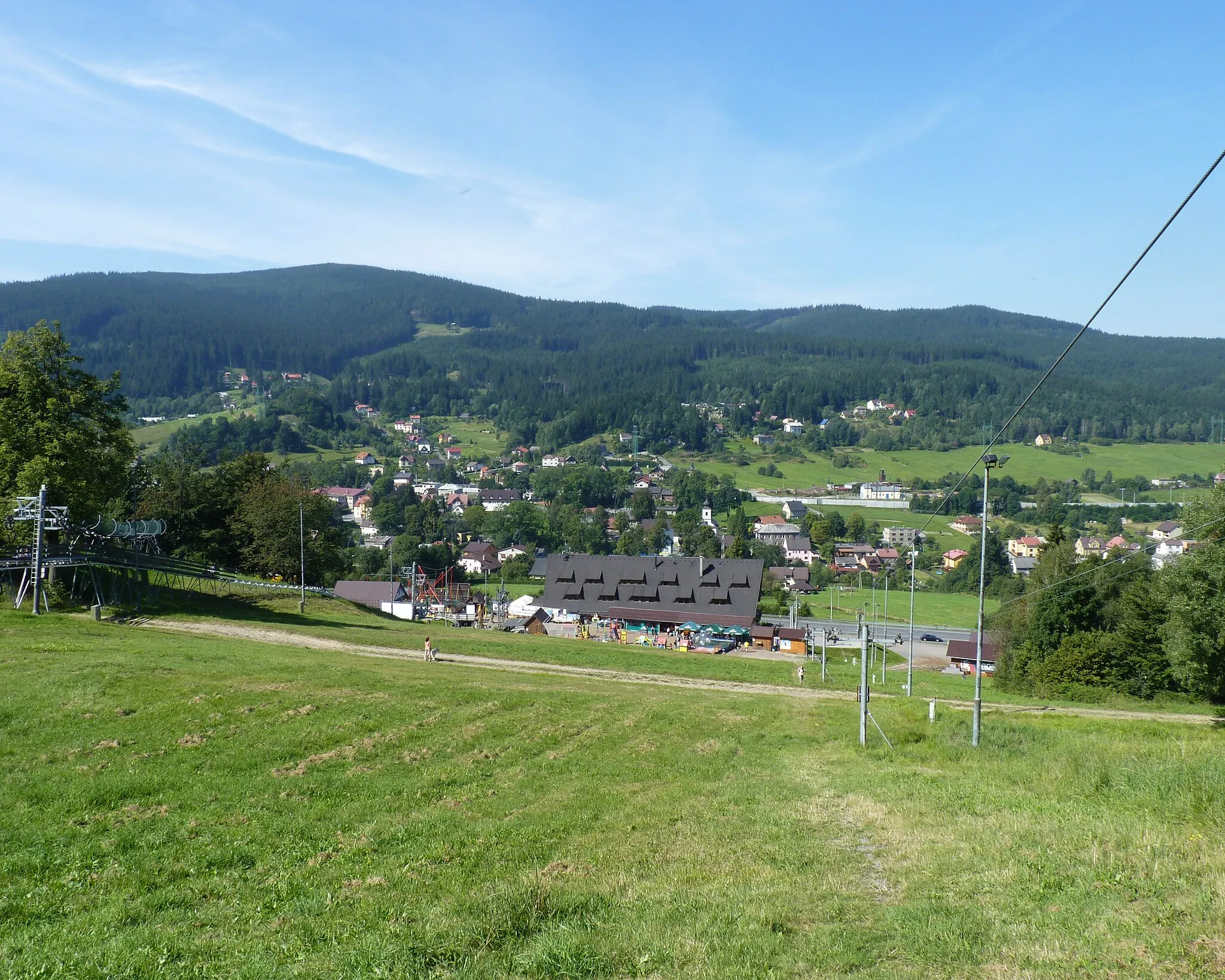
KamesznicaVillageVenture into the picturesque village of Kamesznica and be enchanted by its stunning landscapes.
31 km
31 km
Abrahamów857 mPeakExperience the historical significance of Abrahamów and learn about its captivating past.
41 km
41 km
Kopiec615 mPeakClimb up the Kopiec and revel in the panoramic views of the surrounding countryside.
54 km
54 km
SólVillageDiscover the centuries-old salt mine, Sól, and delve into the underground wonders it beholds.
64 km
64 km
Švancarov grúň686 mPeakAscend Švancarov grúň and be rewarded with breathtaking vistas of the serene countryside.
67 km
67 km
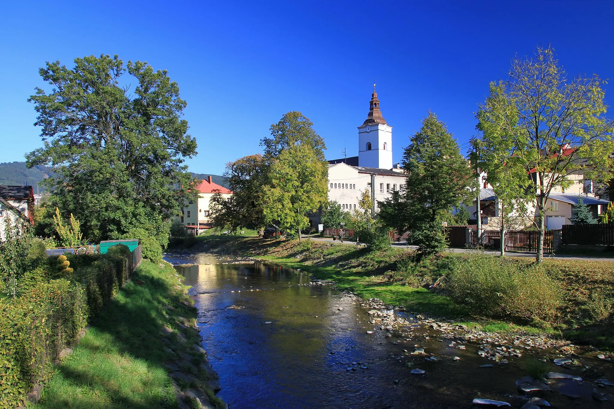
SkalitéVillageCross into Skalité and feel the charm of this quaint town on the border of Poland and Slovakia.
74 km
74 km
Finish: Jaworzynka Village centerJaworzynka: Serene town surrounded by beautiful countryside.
Cycling routes nearby: