Wilderness Expedition: Ujsoły Adventure
A gravel cycling route starting from Ujsoly
Embark on a thrilling gravel expedition through Ujsoły's wilderness
Map
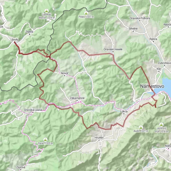
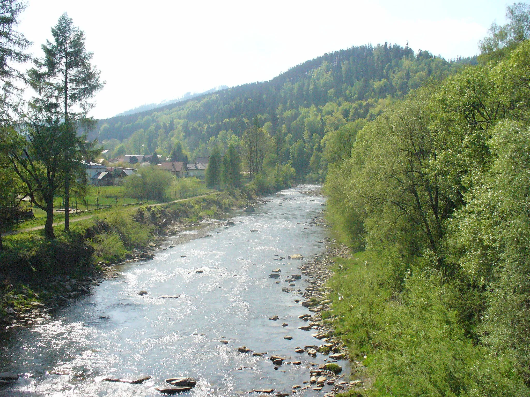
Experience the untamed beauty and rugged terrains of Ujsoły on this exhilarating gravel expedition. With a total ascent of 2,052 meters and a distance of 95 kilometers, this challenging route promises an adrenaline-fueled adventure. Traverse through picturesque landscapes, conquer steep climbs, and immerse yourself in the untouched wilderness of Śląskie, Poland. From the idyllic village of Grúniky, situated just 11 kilometers into the route, to the panoramic views atop Kovaľov vrch at kilometers 73, every highlight along the way offers a memorable experience. Conquer the elements and become one with nature on this epic cycling journey.
gravel
95 km
2052 m
Tough
Route profile
Highlights on the route
0 km
0 km
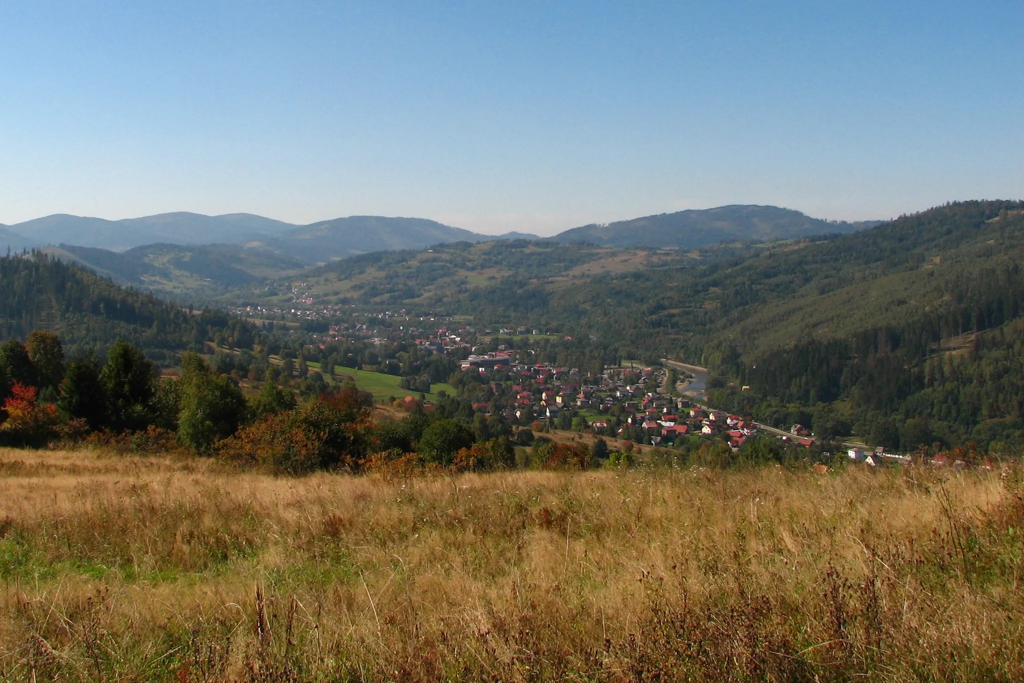
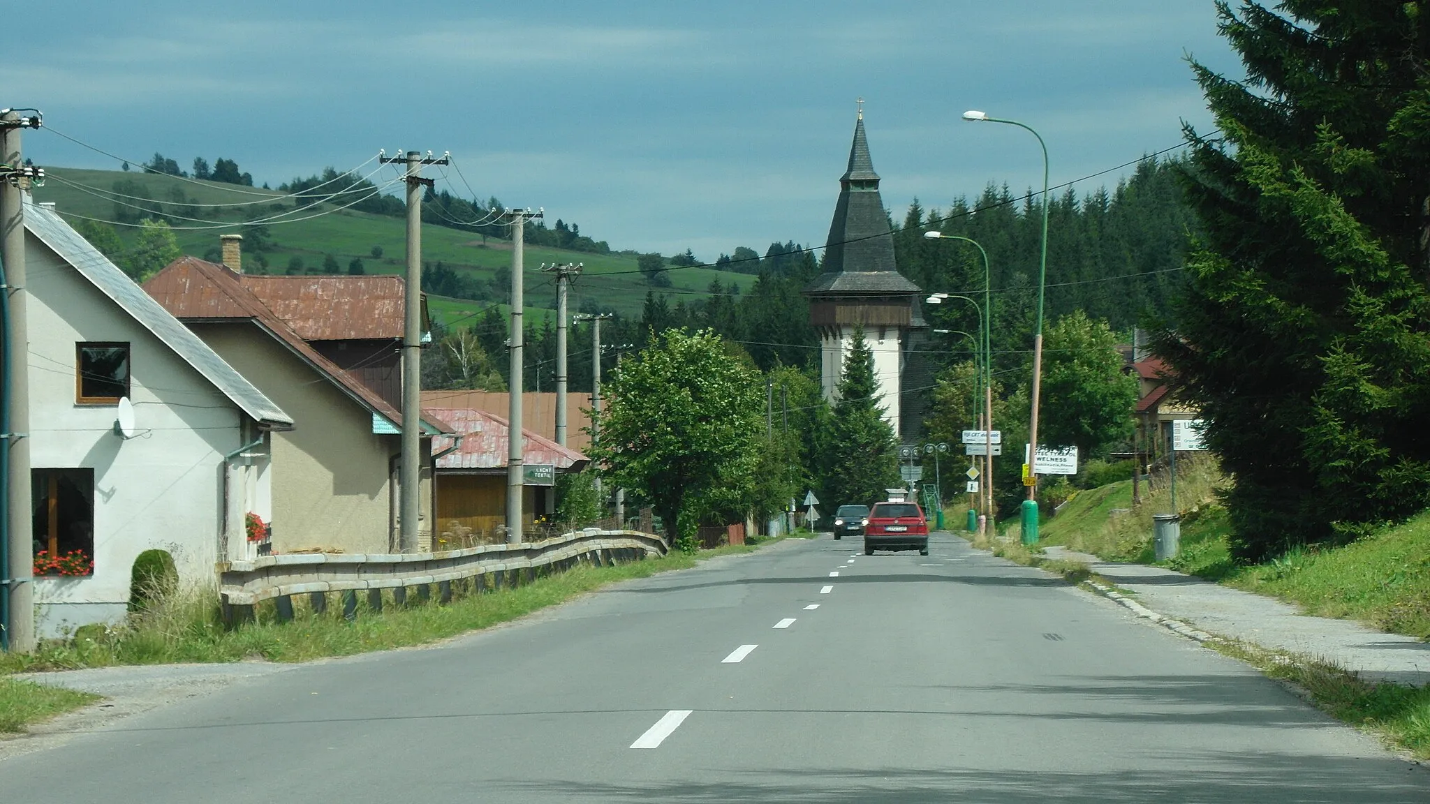
Start: Ujsoły Village centerUjsoły: Scenic and challenging cycling in the mountains of Śląskie
Ujsoły in Poland's region of Śląskie offers a challenging yet rewarding cycling experience. With its breathtaking landscapes and stunning mountain views, this locality attracts road and gravel cyclists seeking scenic adventures. Gravel cyclists will particularly enjoy exploring the numerous forest trails and off-road routes around Ujsoły. The highest peak in the region, Pilsko, provides a legendary climb that is popular among cyclists. For tourists, Ujsoły offers cultural landmarks such as historic wooden churches and traditional folk festivals.11 km
11 km
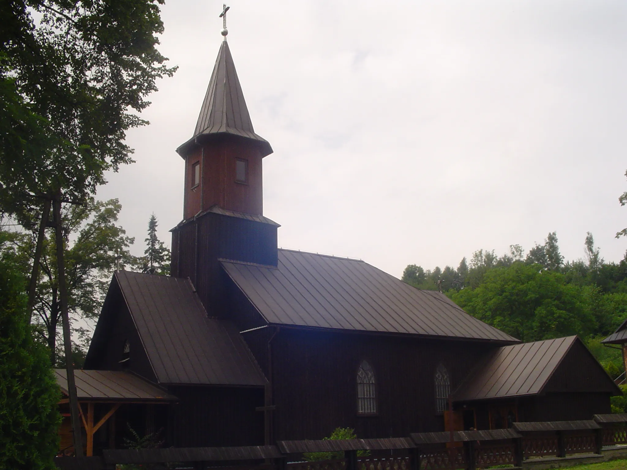
Grúniky928 mPeakExplore the quaint village of Grúniky, situated 11 kilometers into the route, known for its traditional folklore and rich cultural heritage.
29 km
29 km
Pálenica860 mPeakTake in the stunning vistas from the top of Pálenica, located 29 kilometers into the route, providing panoramic views of the surrounding mountains and valleys.
35 km
35 km
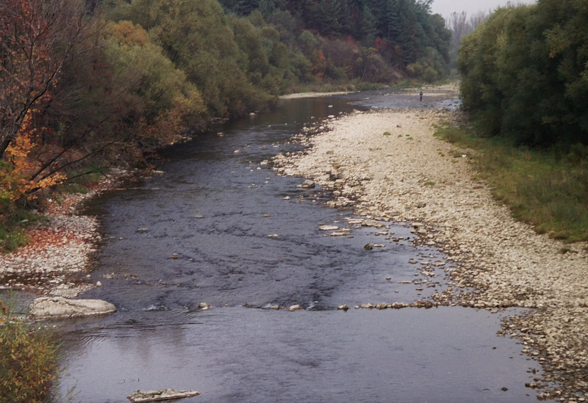
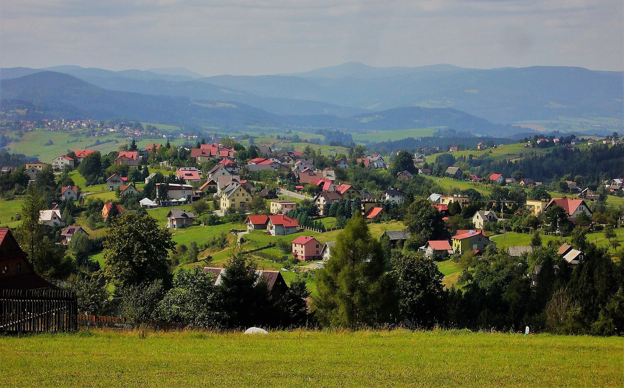
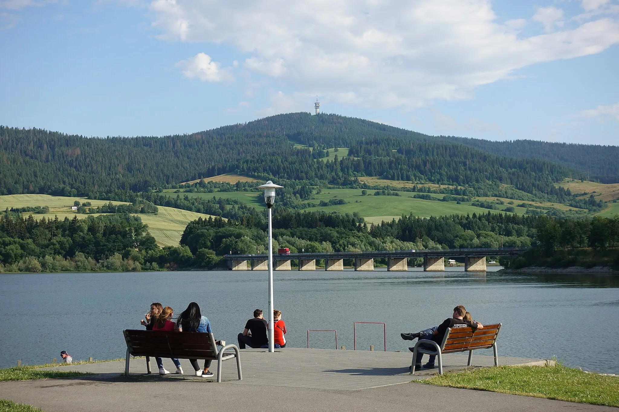
NámestovoTownVisit Námestovo, a charming town situated 35 kilometers into the route, offering a blend of historical architecture and natural splendor by the Orava River.
45 km
45 km
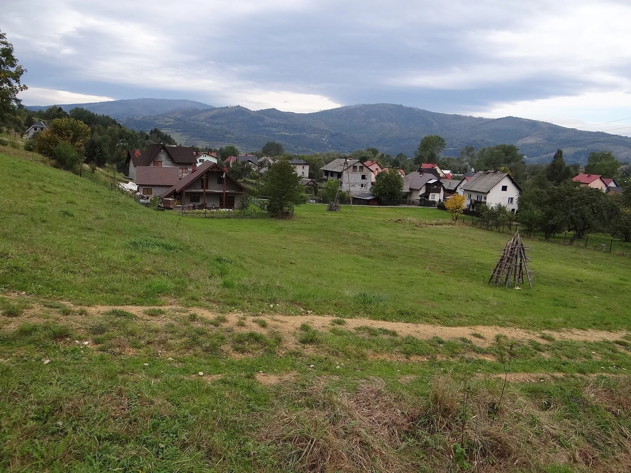
ŤapešovoVillageExperience the peaceful tranquility of Ťapešovo, a small village nestled amidst lush greenery, located 45 kilometers into the route.
58 km
58 km
Galanky942 mPeakAdmire the beauty of Galanky, a hidden gem situated 58 kilometers into the route, known for its pristine hiking trails and breathtaking landscapes.
73 km
73 km
Kovaľov vrch961 mPeakConquer the challenging climb of Kovaľov vrch, located at kilometer 73, and be rewarded with breathtaking views of the surrounding peaks and valleys.
87 km
87 km
Pientkuľa1043 mPeakEmbark on a thrilling descent from the summit of Pientkuľa, situated 87 kilometers into the route, offering an exhilarating ride through winding mountain roads.
95 km
95 km
UjsołyVillageReturn to Ujsoły, the charming starting point of your adventure, and immerse yourself in the warm hospitality and rich cultural heritage of this picturesque village.
95 km
95 km
Finish: Ujsoły Village centerUjsoły: Scenic and challenging cycling in the mountains of Śląskie
Cycling routes from Ujsoly:
Around Ujsoły and the Beskidy Mountains The Ultimate Beskid Adventure Charming Villages and Mountain Trails Off the Beaten Path: Gravel Adventure in Orava Into the Heart of Beskids: Road Cycling Adventure Oravsko Will Leave You Breathless Short and Adventurous Gravel Escape Czumowa and Studniska Gravel Adventure Wilderness Expedition: Ujsoły Adventure The Gravel Adventure: Ujsoły Loop
Cycling routes nearby: