Roads and Battlefields
A road cycling route starting from Cedynia
Pedal through historic routes and visit significant World War II sites.
Map
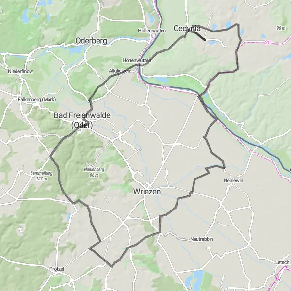
Discover the intriguing history of the region by cycling on the road route with a total ascent of 420m and a distance of 91km. Immerse yourself in the stories of Wzgórze Bitewne, delve into the beauty of Bliesdorf, and enjoy the peaceful atmosphere of Frankenfelde. Climb up the Aussichtsturm auf dem Galgenberg for stunning panoramic views, visit the historic Schiffmühle, explore Hohenwutzen, and reach the iconic Góra Czcibora.
road
91 km
420 m
Tough
Route profile
Highlights on the route
0 km
0 km
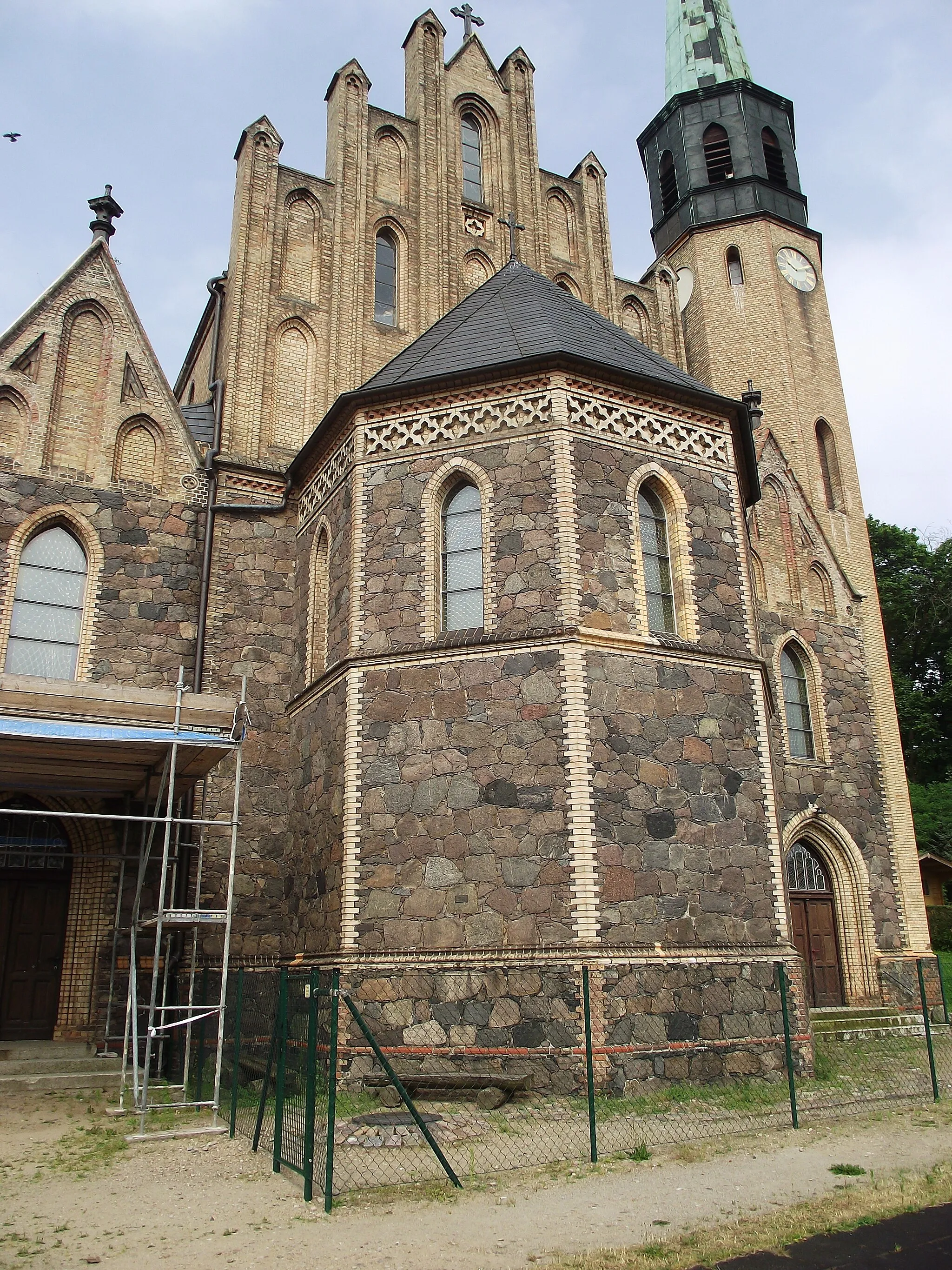
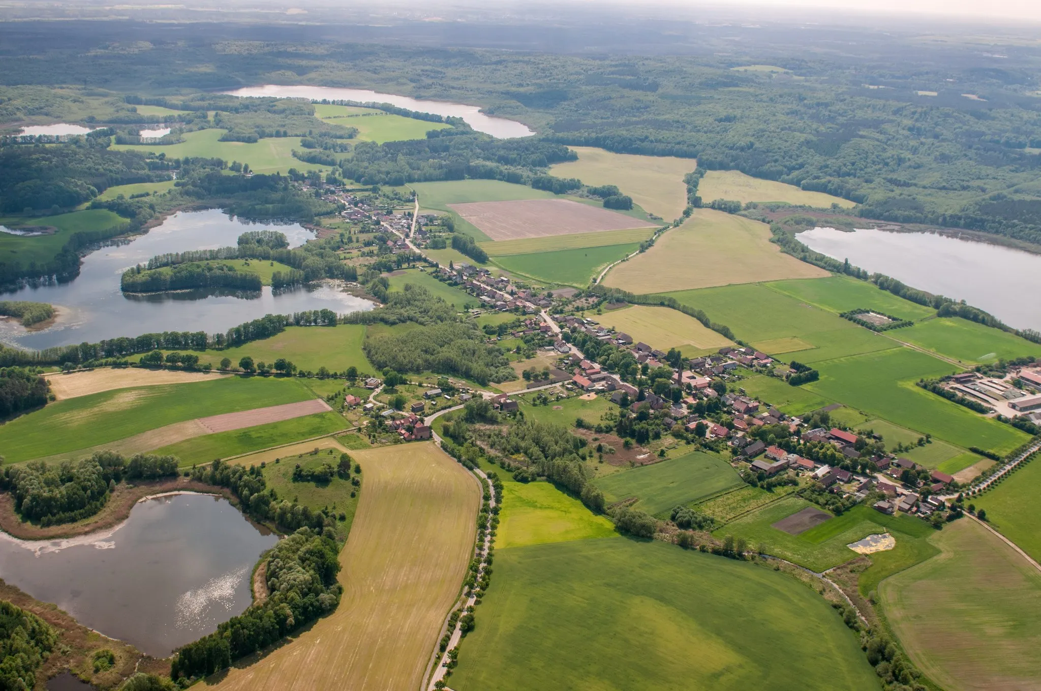
Start: Radostów Village centerCedynia: Cycling through the scenic landscapes of Cedynia
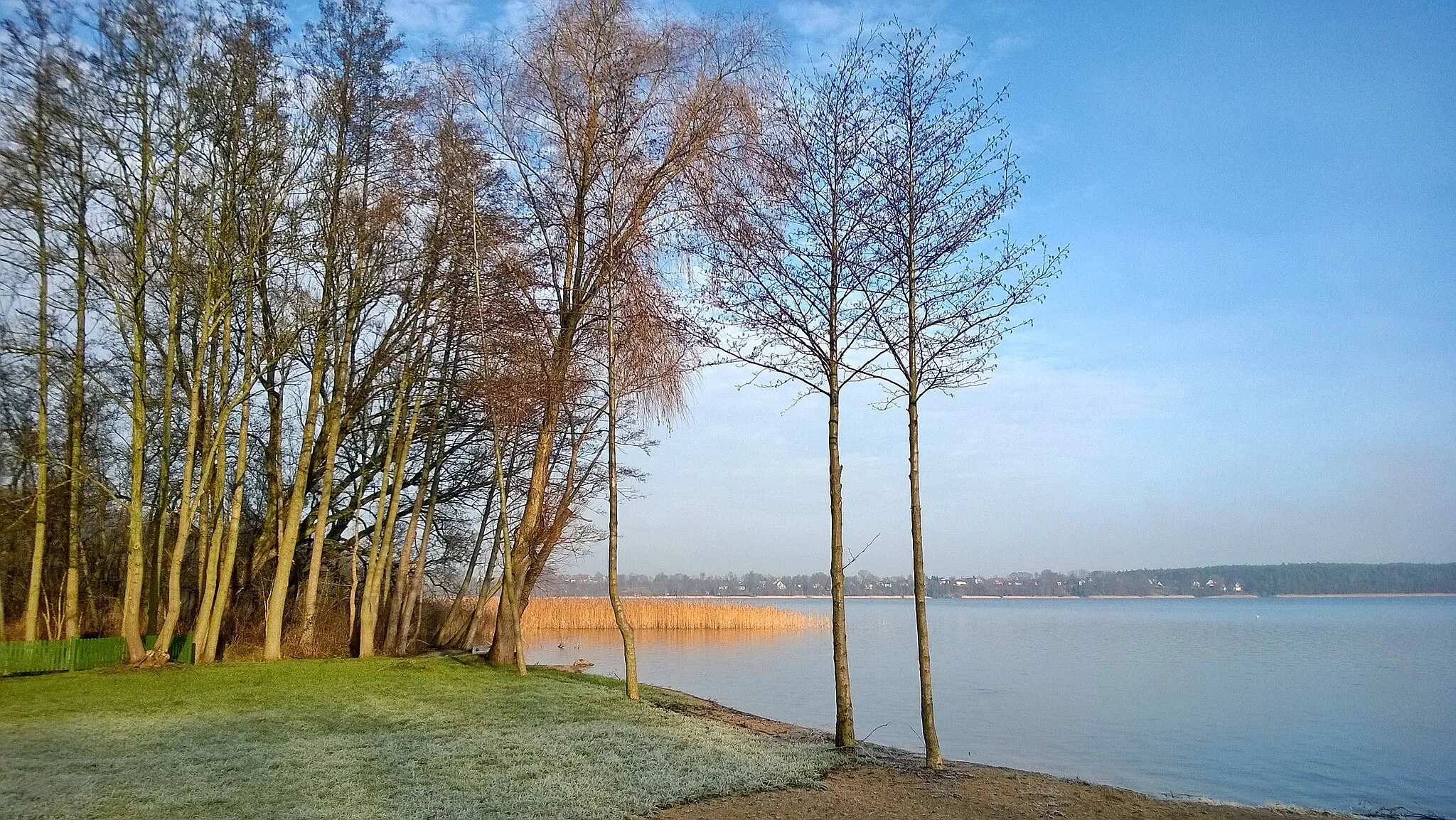
Cedynia is a locality in the Zachodniopomorskie region of Poland. While it may not have any famous cycling-related spots, the area offers beautiful landscapes and quiet roads for cyclists to enjoy. The vicinity of Cedynia is known for the Battle of Cedynia, which was fought between Poland and Germany in the 10th century. Cycling in Cedynia allows you to appreciate the natural beauty and historical significance of the region.17 km
17 km
Wzgórze Bitewne54 mPeakWzgórze Bitewne carries the remnants of a WWII battle and offers historic insights and captivating views.
39 km
39 km
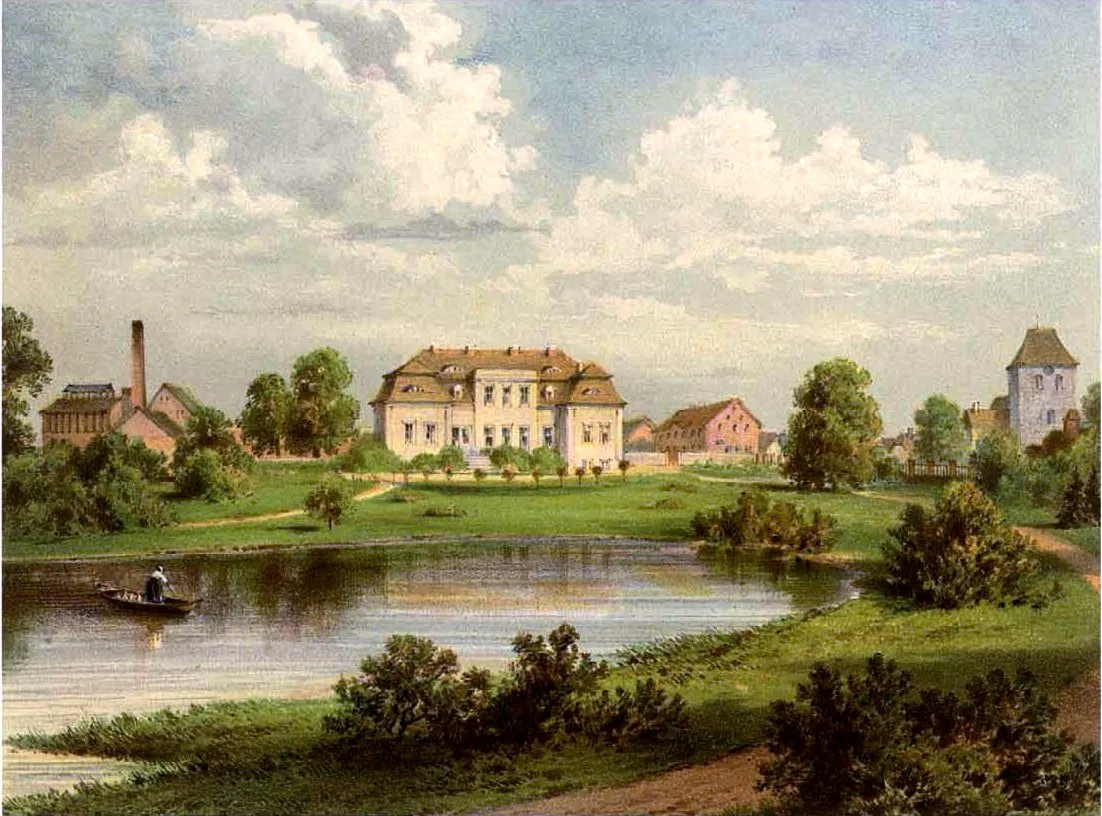
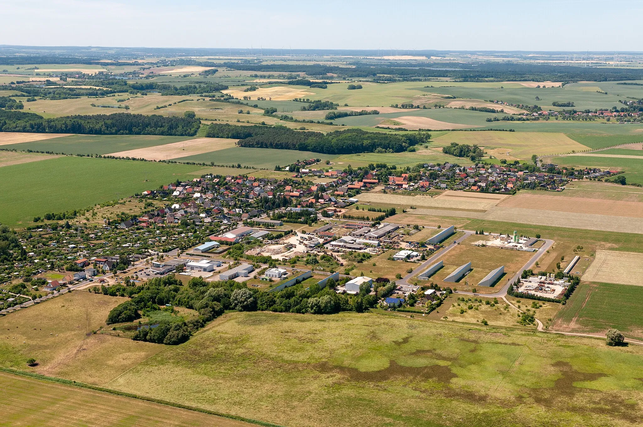
BliesdorfVillageBliesdorf is a picturesque village famous for its traditional architecture and idyllic countryside.
54 km
54 km
FrankenfeldeHamletFrankenfelde is known for its charming atmosphere, beautiful gardens, and historical landmarks.
70 km
70 km
Aussichtsturm auf dem GalgenbergViewpointAussichtsturm auf dem Galgenberg provides panoramic views of the surrounding landscape and historical landmarks.
74 km
74 km
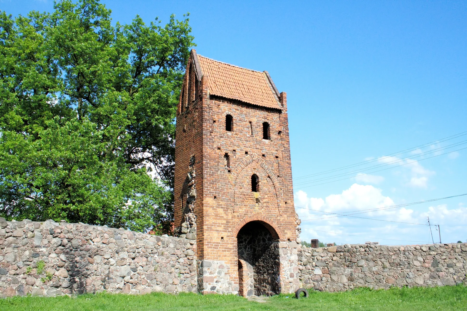
SchiffmühleVillageSchiffmühle is a historical water mill with a unique architecture and a peaceful ambiance.
82 km
82 km
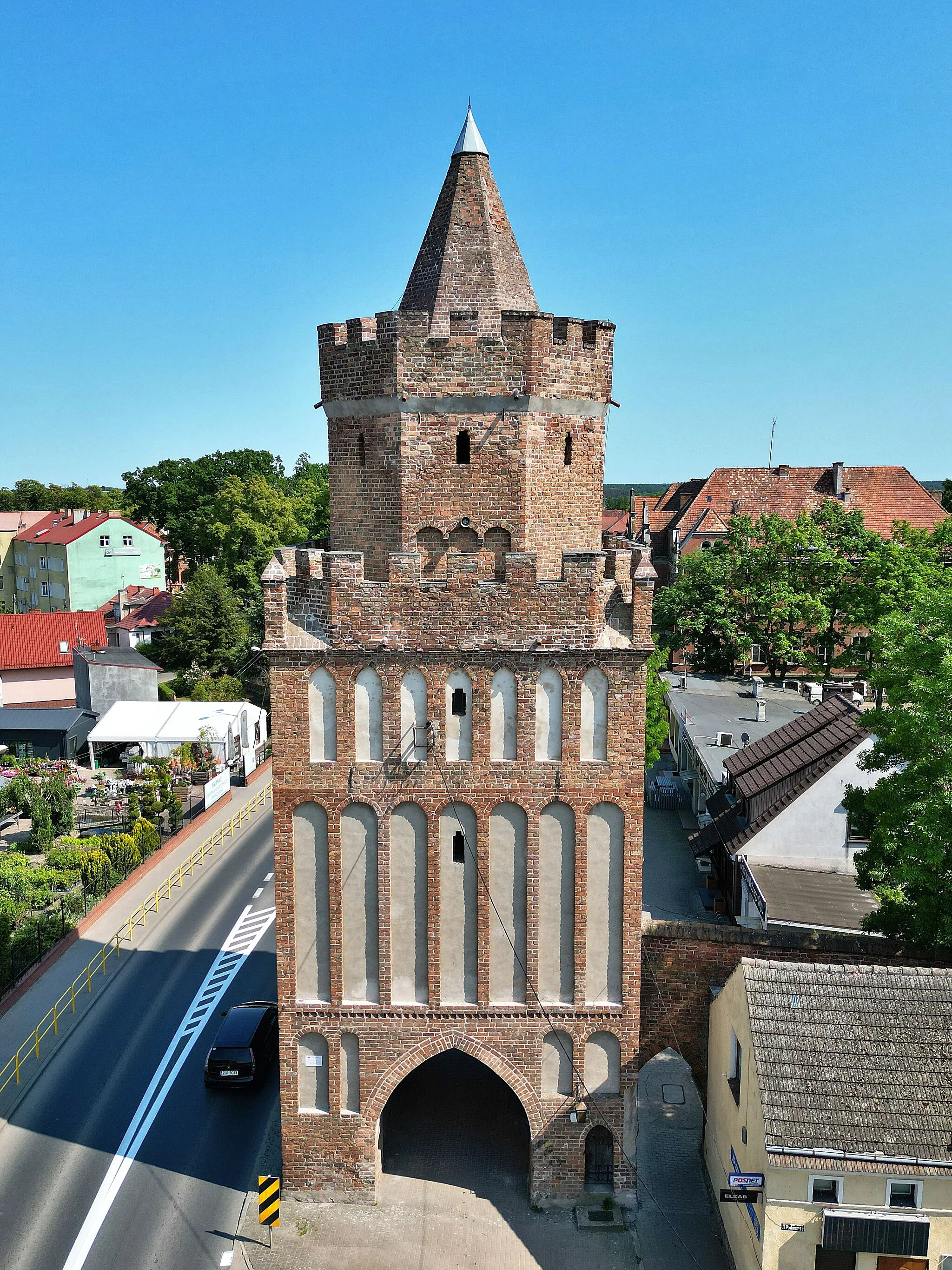
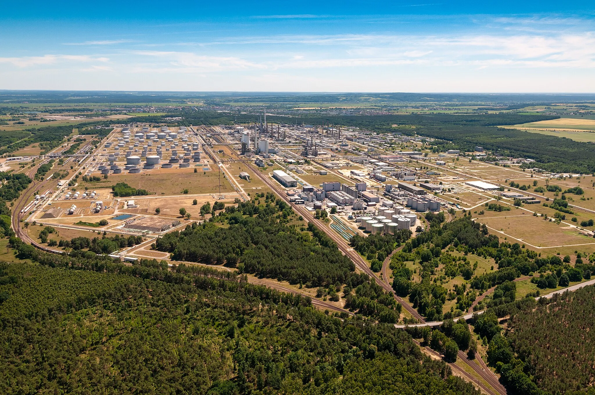
HohenwutzenVillageVisit Hohenwutzen, a charming border town boasting history, culture, and stunning natural landscapes.
85 km
85 km
Góra Czcibora54 mViewpointGóra Czcibora is an iconic mountain with breathtaking views and ancient legends.
91 km
91 km
Finish: Radostów Village centerCedynia: Cycling through the scenic landscapes of Cedynia
Cycling routes from Cedynia:
Cedynia to Góra Czcibora Road Route Through the Gravel Roads Countryside Exploration Cedynia to Wzgórze Łańcuch Road Route Cedynia to Radostów Gravel Route Scenic Routes and Hidden Gems Gravel Adventure through Nature Roads and Battlefields Cedynia to Hohensaaten Gravel Route Cedynia to Radostów Gravel Route
Cycling routes nearby: