Road Cycling in Dragoslavele
A road cycling route starting from Rucar
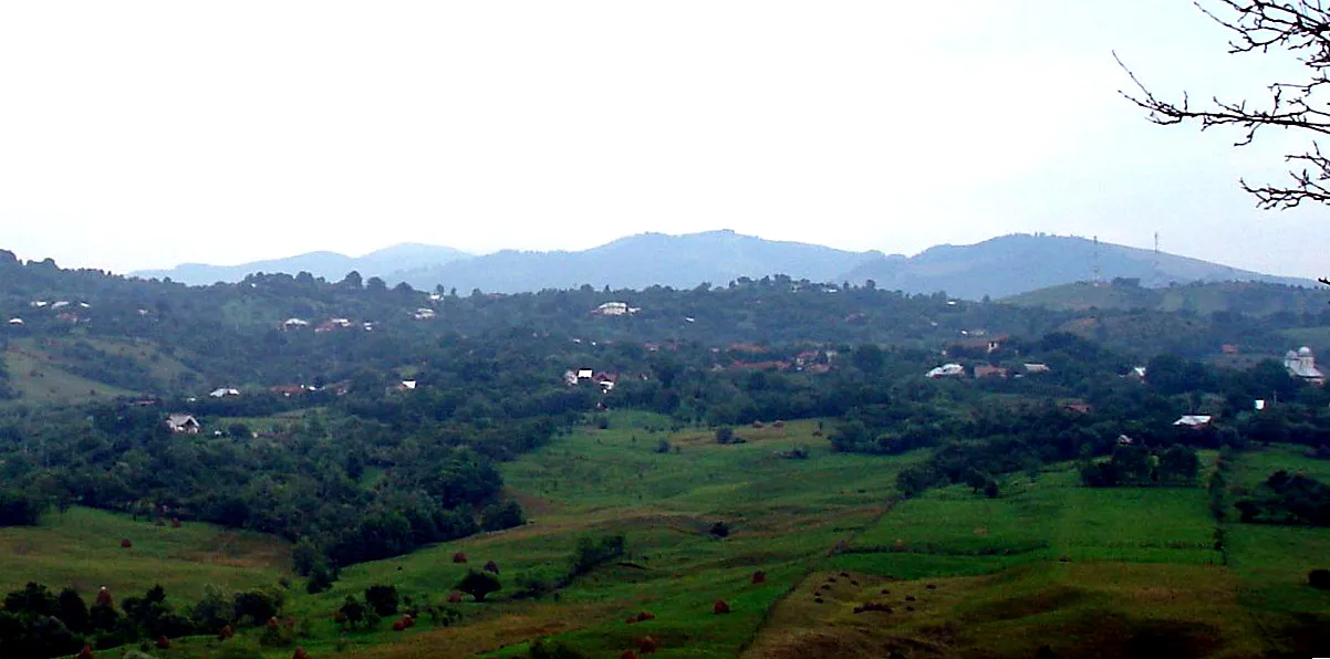
A scenic road cycling route through Dragoslavele
Map
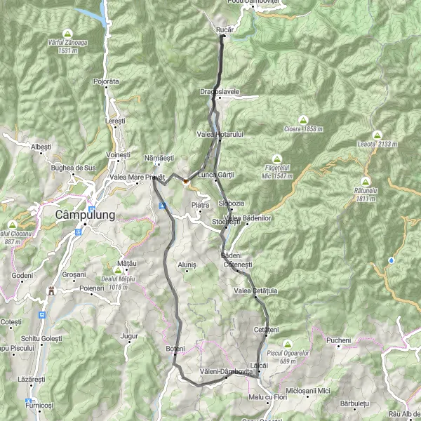
Experience the magnificent beauty of Dragoslavele on this picturesque road cycling route. With a relatively moderate ascent of 870 meters and a distance of 67 kilometers, this route offers an enjoyable challenge suitable for amateur cyclists. Discover the rich history and cultural heritage of this region while exploring the captivating landscapes.
road
67 km
870 m
Chill
Route profile
Highlights on the route
0 km
0 km
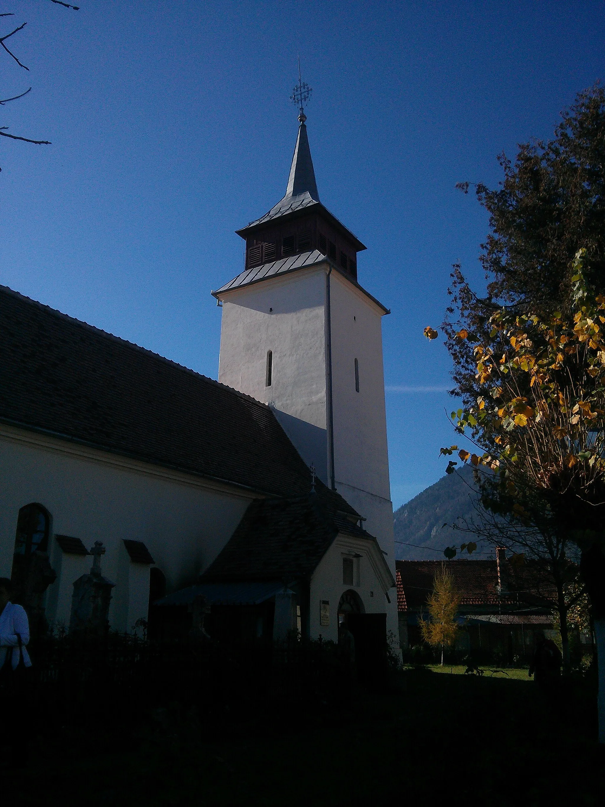
Start: Rucăr Village centerRucăr: Conquer the mountains in scenic Rucăr
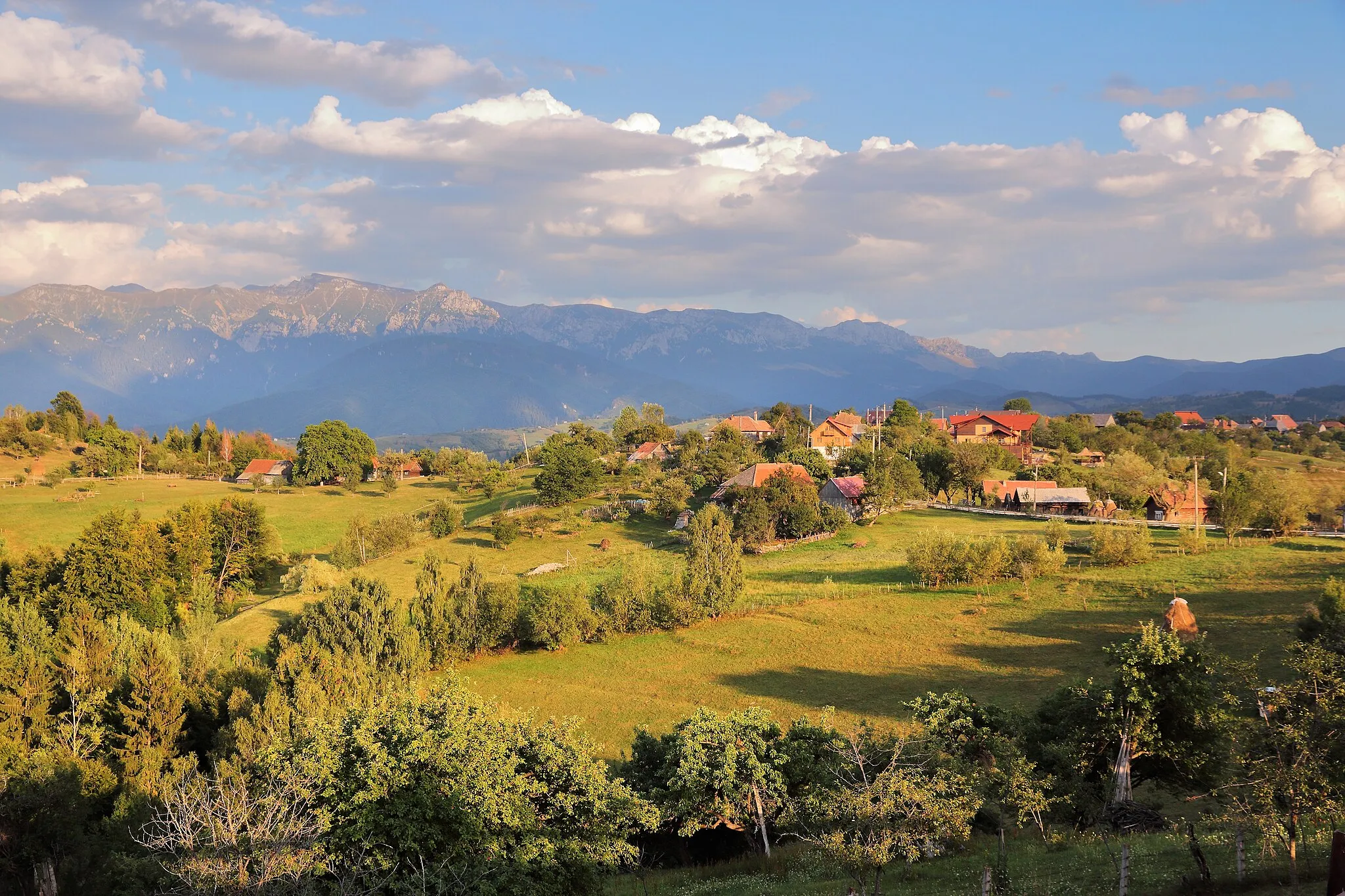
Rucăr, located in Romania's Sud-Muntenia region, is a paradise for road and gravel cyclists. Nestled in the midst of the Carpathian Mountains, this locality offers breathtaking scenery and a variety of cycling routes suitable for all skill levels. Within close proximity, cyclists can tackle the challenging ascent of the Transfagarasan Highway, known as one of the most beautiful and demanding climbs in the world. Rucăr is also home to the Piatra Craiului National Park, where cyclists can explore its stunning trails and admire the unique flora and fauna. With its rugged beauty and diverse terrain, Rucăr is a true gem for cycling enthusiasts.4 km
4 km
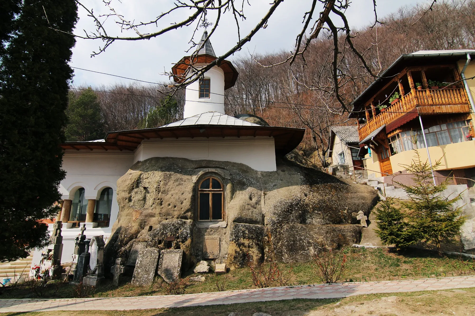
DragoslaveleVillageMake a quick stop in Dragoslavele and admire the traditional Romanian houses that exude charm and authenticity.
11 km
11 km
Cariera calcar Mateiaș1000 mPeakPass by the limestone quarry 'Cariera calcar Mateiaș' and marvel at the impressive geological formations.
47 km
47 km
CoteneștiVillageExperience the peaceful beauty of Cotenești, a small village nestled amidst green meadows and rolling hills.
67 km
67 km
Finish: Rucăr Village centerRucăr: Conquer the mountains in scenic Rucăr
Cycling routes nearby: