The Serene Countryside
A road cycling route starting from Lazarevo
Escape to the serene countryside near Lazarevo
Map
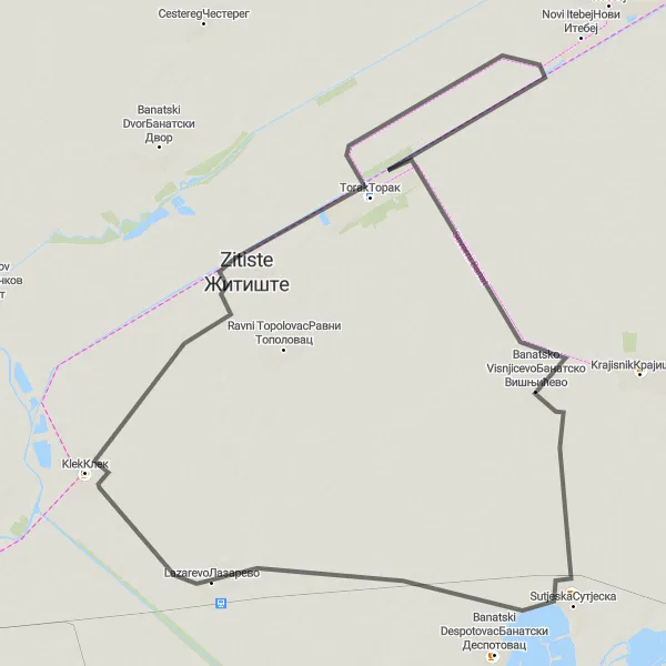
Covering a distance of 70 kilometers with only 6 meters of ascent, this road cycling route offers a peaceful escape into the countryside. Enjoy the picturesque landscapes and soak in the tranquility of Lazarevo and its surrounding areas.
road
70 km
6 m
Chill
Route profile
Highlights on the route
0 km
0 km
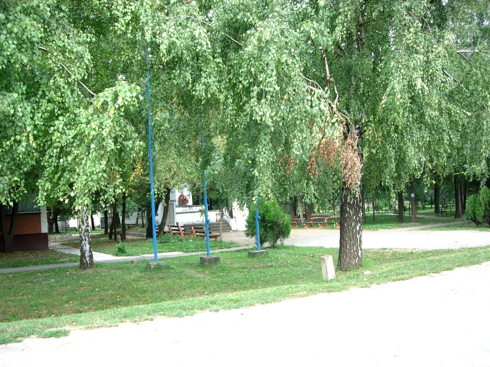
Start: Лазарево Village centerLazarevo: Scenic cycling routes in the heart of Vojvodina
Lazarevo is a small village located in the Autonomous Province of Vojvodina in Serbia. From a cyclist's perspective, Lazarevo offers a variety of road and gravel routes that cut through the countryside and nearby riverbanks. One notable cycling spot nearby is the Danube River, which provides a scenic route along its banks. Overall, Lazarevo is a suitable locality for cyclists with a ranking of 3.15 km
15 km
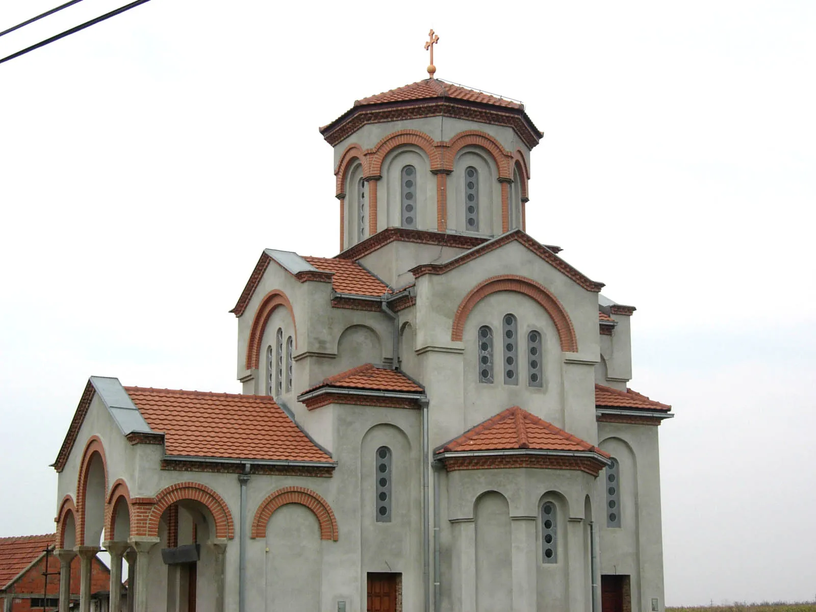
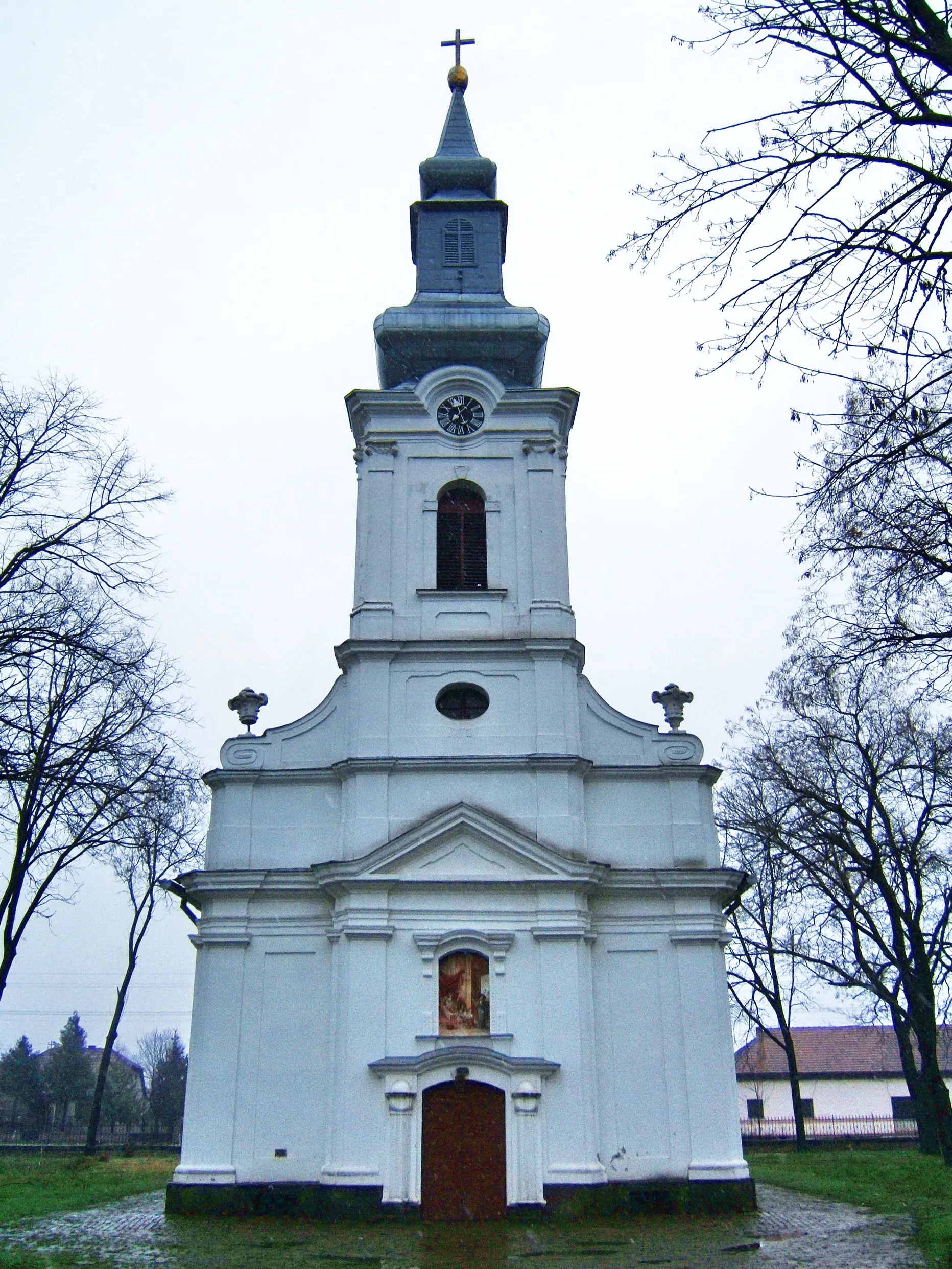
ZitisteTownAt the 15-kilometer mark, Zitiste welcomes you with its charming rural scenery. Experience the beauty of Vojvodina's countryside at its finest.
49 km
49 km
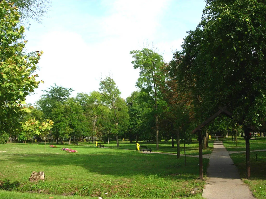
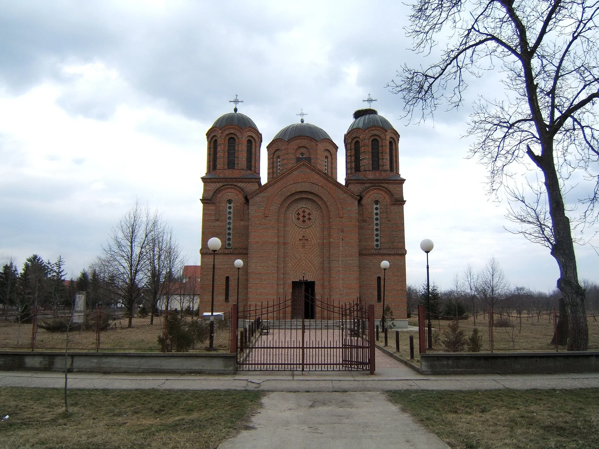
Banatsko VisnjicevoVillageBanatsko Visnjicevo, at the 49-kilometer mark, offers a serene retreat with its rolling fields and peaceful atmosphere. Take a moment to relax and enjoy the surrounding nature.
70 km
70 km
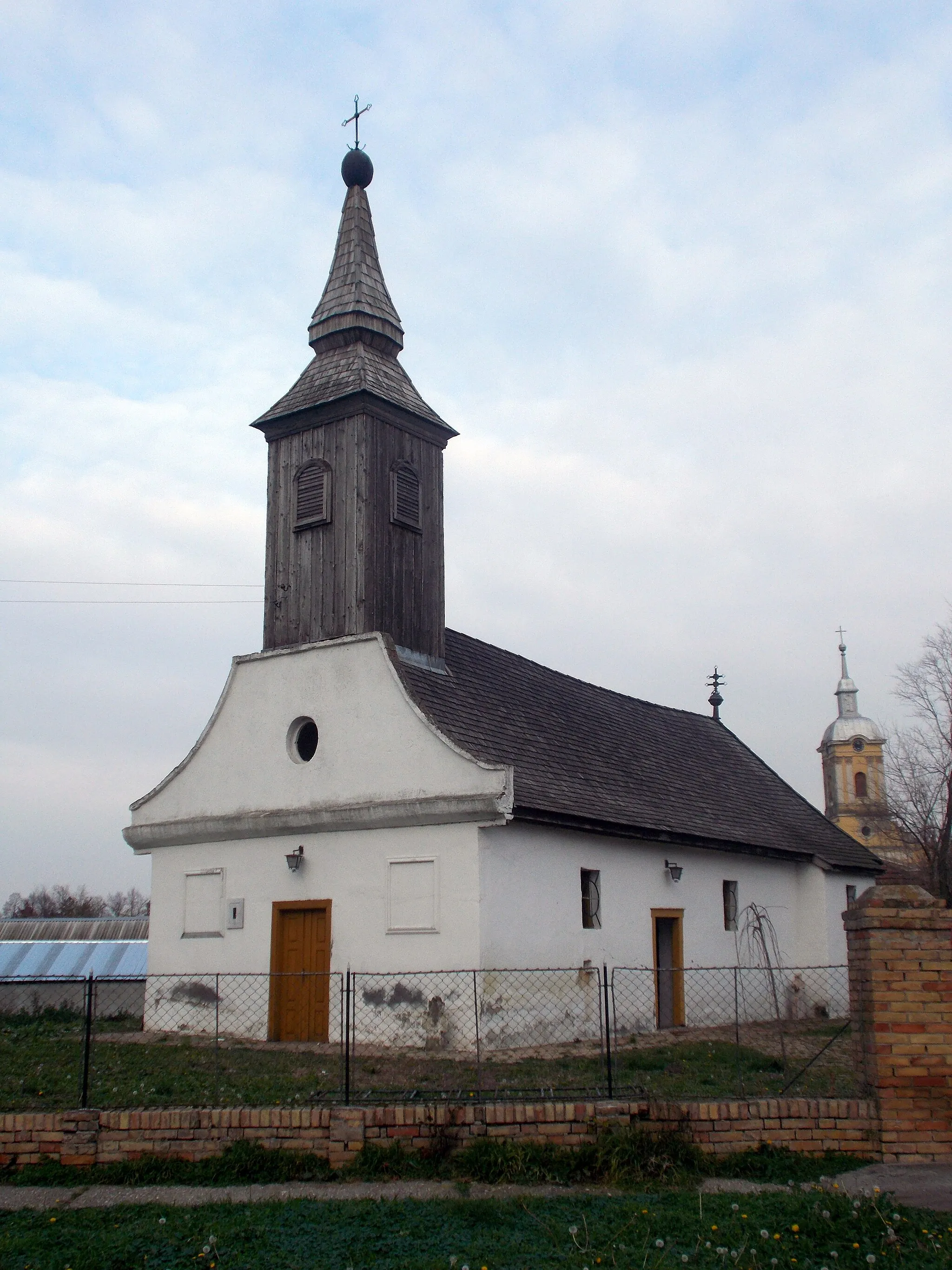
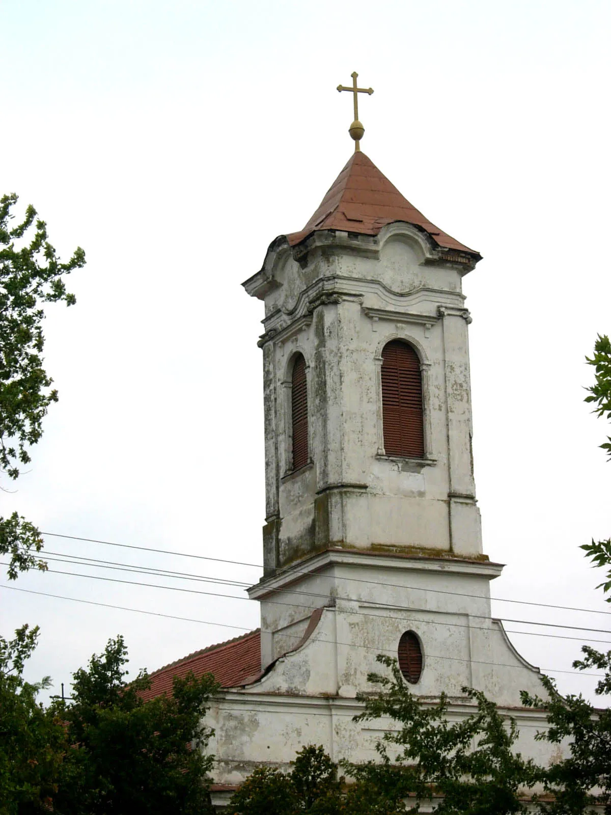
LazarevoVillageLazarevo, the starting point and endpoint of the route, is a charming village that showcases the traditional architecture and warm hospitality of Vojvodina.
70 km
70 km
Finish: Лазарево Village centerLazarevo: Scenic cycling routes in the heart of Vojvodina
Cycling routes nearby: