Bačka Palanka Epic Road Challenge
A road cycling route starting from Maglic
Test your skills on this epic road cycling route featuring stunning landscapes and cultural gems
Map
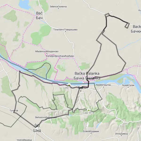
Embark on an epic road cycling challenge on the Bačka Palanka Epic Road Challenge. With a challenging ascent and a distance of 129 kilometers, this route is suited for experienced cyclists seeking a thrilling adventure. Explore the breathtaking landscapes as you pedal through rolling hills, pass by charming towns like Bačka Palanka and Lovas, and discover historical landmarks such as the Dunđerski Palace. Prepare for a truly unforgettable experience that combines the beauty of nature with the richness of Serbian culture.
road
129 km
475 m
Savage
Route profile
Highlights on the route
0 km
0 km
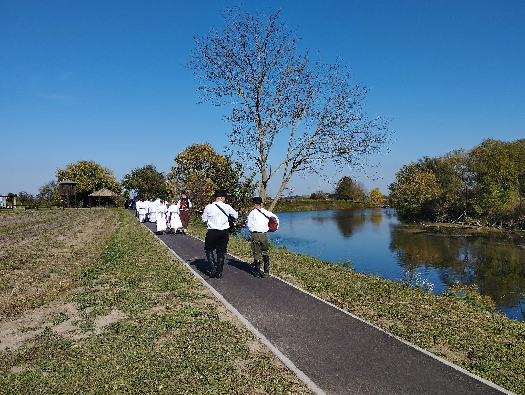
Start: Маглић Village centerMaglić: Tranquil cycling amidst beautiful rural landscapes in Maglić.
Maglić is a locality located in the Autonomous Province of Vojvodina, Serbia. As a road and gravel cyclist, Maglić offers various cycling routes with its flat terrains and beautiful rural landscapes. Although Maglić does not possess any world-renowned cycling spots or famous climbs, its tranquil surroundings contribute to a pleasant cycling experience. Cyclists visiting Maglić can enjoy the peaceful countryside atmosphere while exploring the region by bike. With its serene paths and scenic landscapes, Maglić would rank at a 3 on the cyclist's perspective scale.26 km
26 km
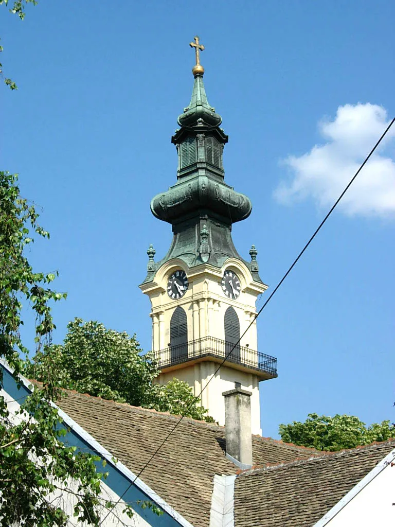
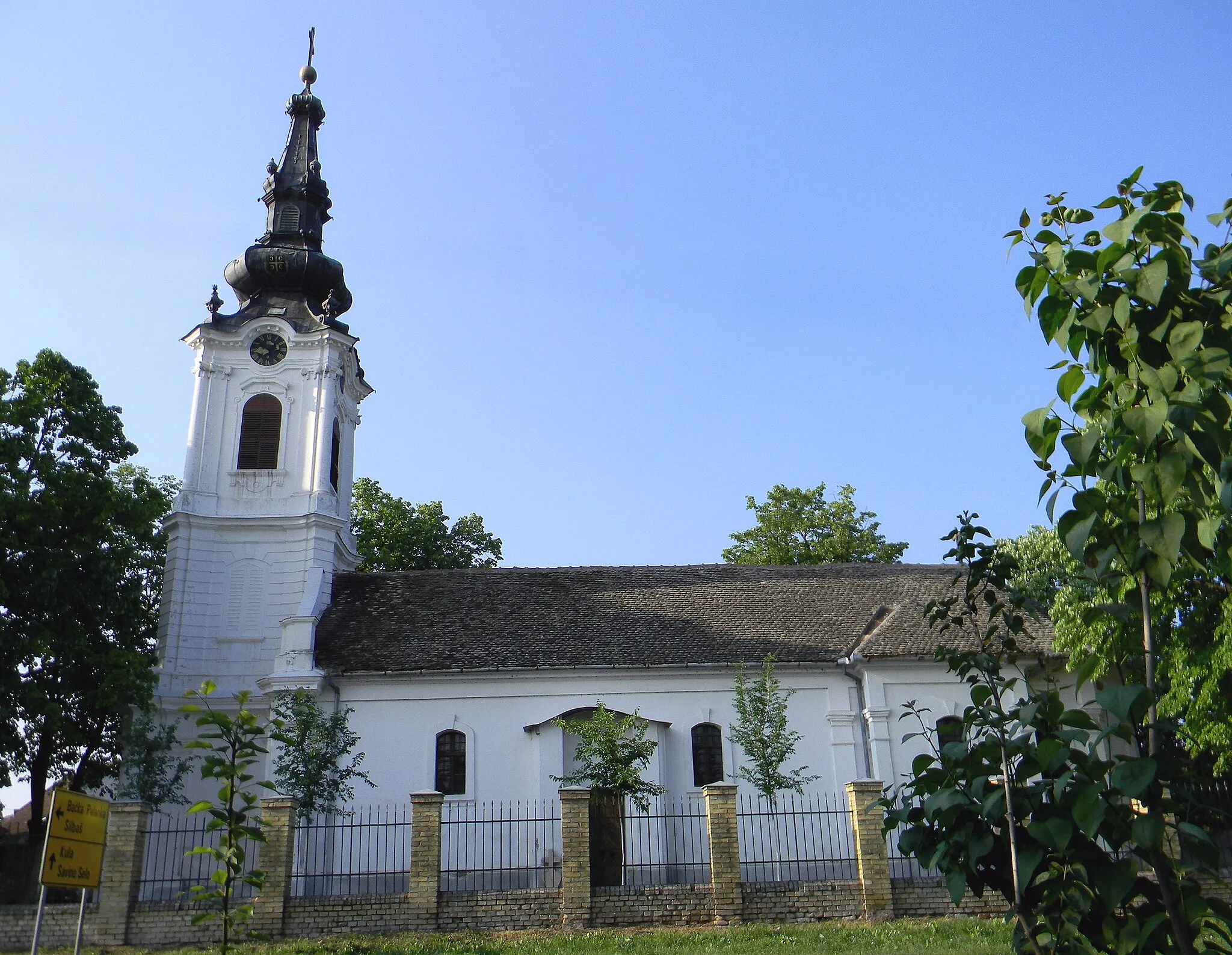
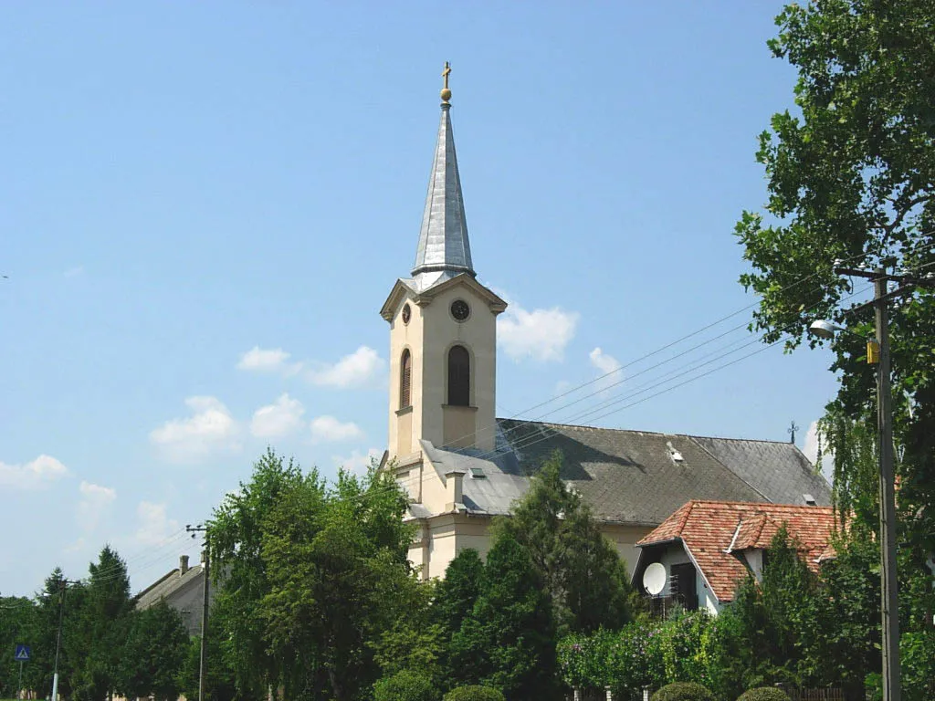
Bačka PalankaTownBačka Palanka, located 26 kilometers into the route, is a historic town with a rich cultural heritage. Explore the town's architecture, visit the Orthodox Cathedral, and indulge in local delicacies.
40 km
40 km
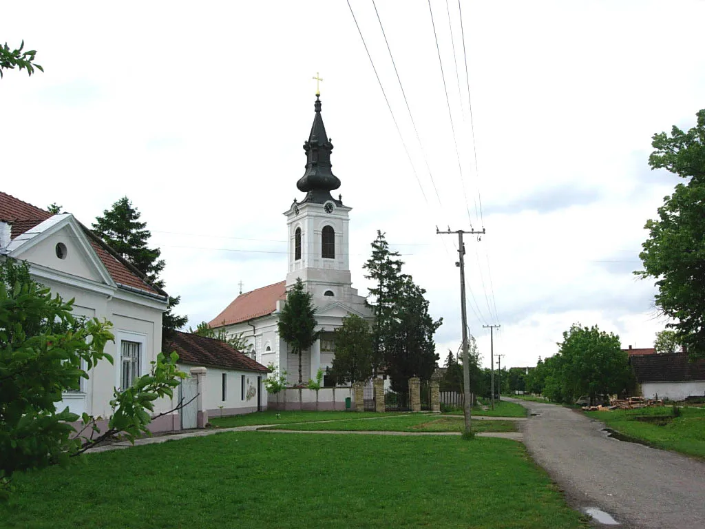
Шот225 mPeakШot, situated 40 kilometers from the starting point, is a small scenic village known for its traditional houses and beautiful surroundings. Take a moment to rest and admire the tranquil atmosphere.
56 km
56 km
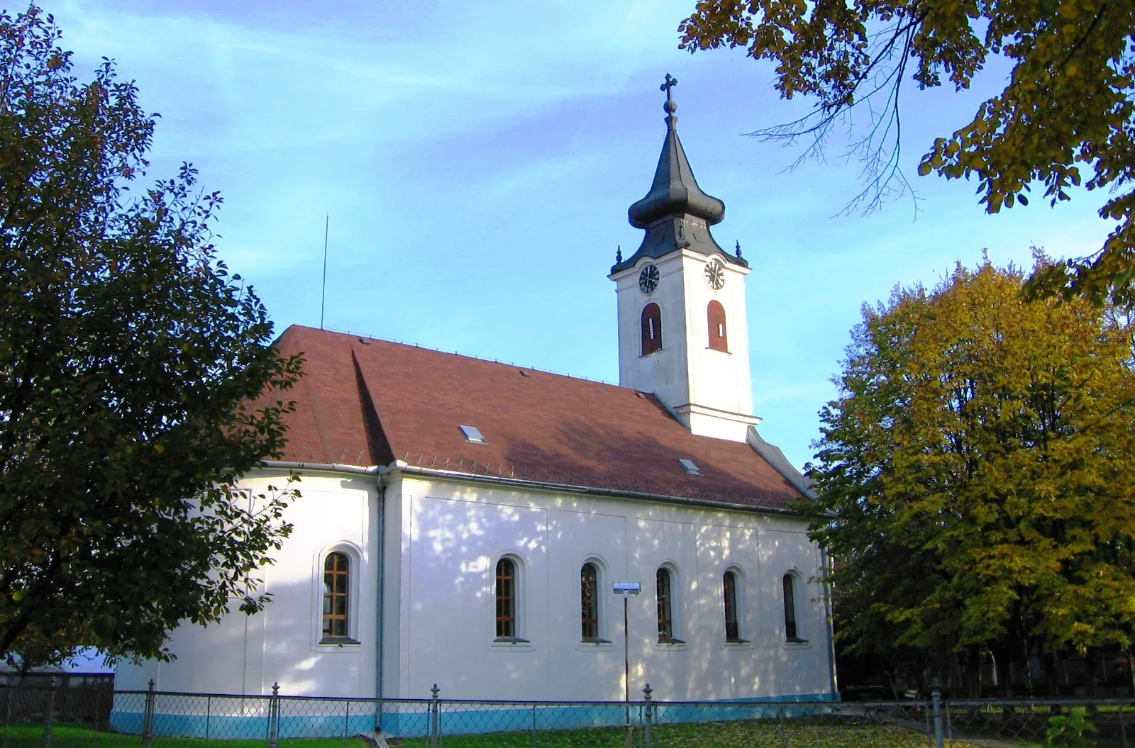
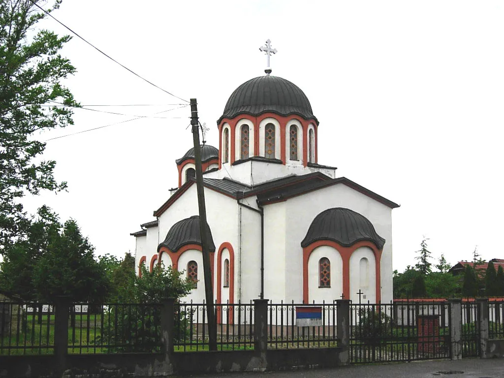
TovarnikVillageTovarnik, 56 kilometers into the route, is a village with a rich agricultural heritage. Explore the picturesque landscapes, visit the local farms, and learn about the traditional practices.
65 km
65 km
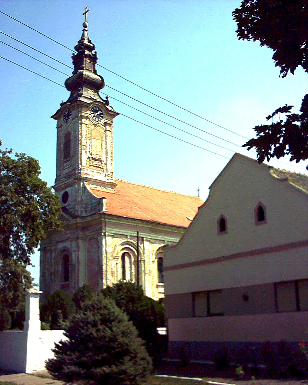
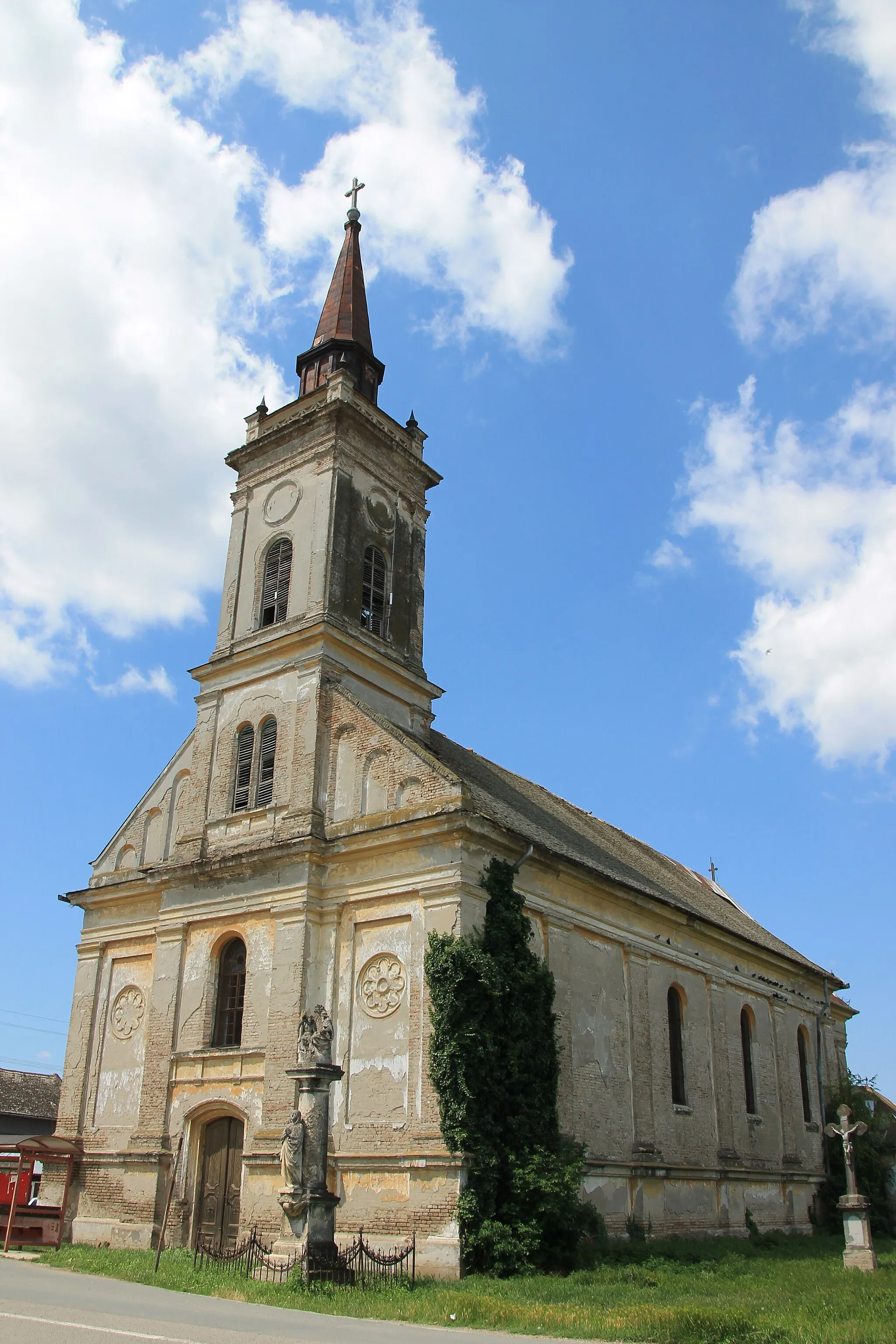
LovasVillageLovas, located 65 kilometers into the route, is a small village known for its charming atmosphere and natural beauty. Enjoy the serene landscapes and experience the traditional rural lifestyle.
79 km
79 km
ŠarengradVillageŠarengrad, 79 kilometers from the starting point, is a scenic village with unique natural formations and stunning views of the Danube River. Take a break and immerse yourself in the tranquil surroundings.
83 km
83 km
Lovka127 mPeakLovka, situated 83 kilometers into the route, is a picturesque village surrounded by lush greenery. Discover the village's traditional houses, explore the rural landscapes, and indulge in the peaceful ambiance.
103 km
103 km
Dunđerski PalaceCastleDunđerski Palace, located 103 kilometers into the route, is a magnificent neo-Renaissance palace with a rich history. Marvel at the splendor of this architectural masterpiece and learn about its significance.
120 km
120 km
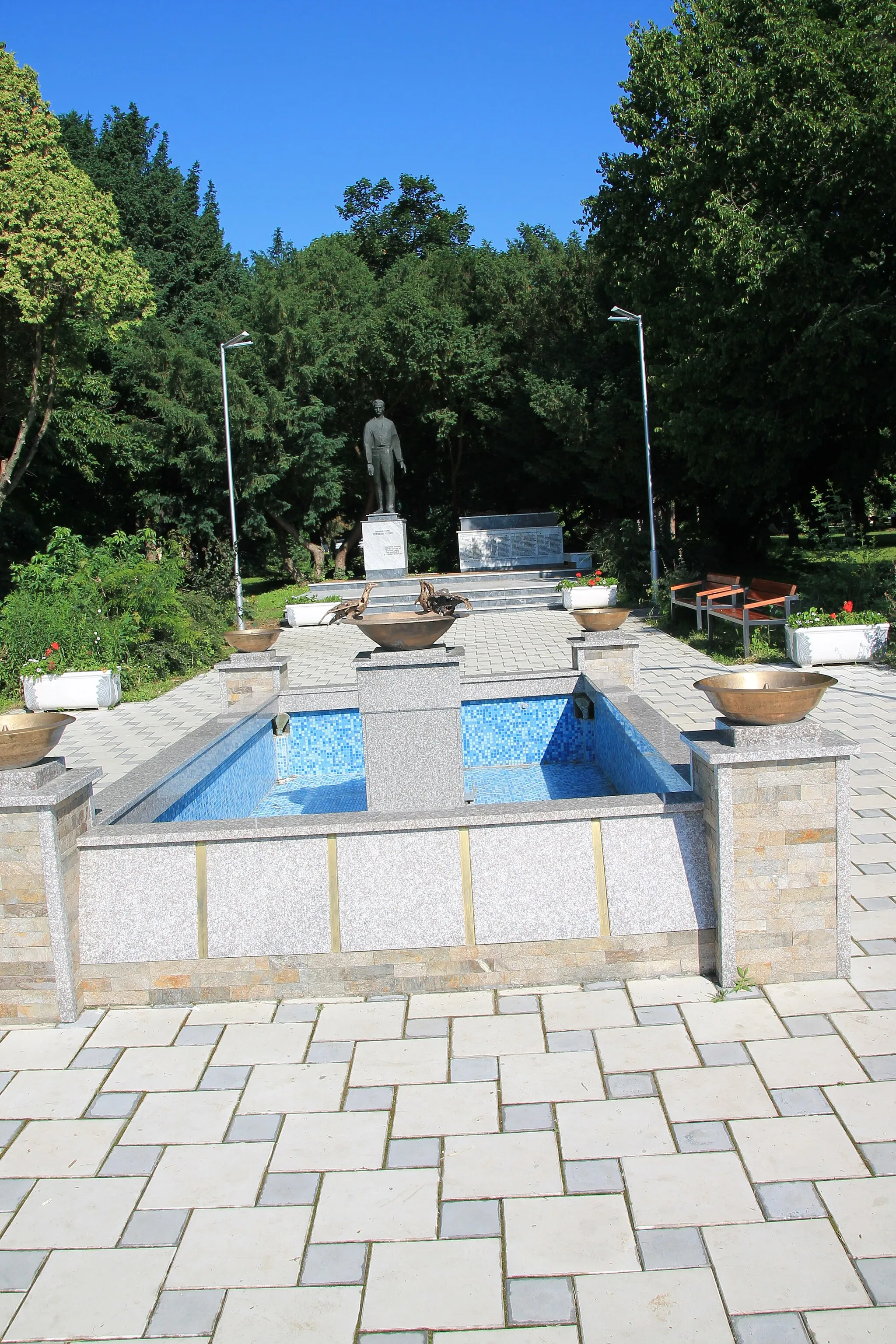
SilbasVillageSilbas, situated 120 kilometers from the starting point, is a legendary cycling spot known for its challenging climbs and epic descents. Test your skills on the Silbas route and enjoy the adrenaline rush.
129 km
129 km
Finish: Маглић Village centerMaglić: Tranquil cycling amidst beautiful rural landscapes in Maglić.
Cycling routes from Maglic:
Cycling routes nearby: