Discovering Donji Tovarnik
A gravel cycling route starting from Nikinci
Embark on an adventurous gravel route to Donji Tovarnik
Map
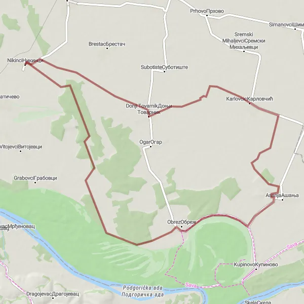
Embark on a 64 km gravel cycling adventure from Nikinci to Donji Tovarnik. With 13 meters of ascent, this route takes you through Donji Tovarnik, Asanja, and Obrez. Discover the hidden gems of the region, enjoy the picturesque landscapes, and experience the thrill of off-road cycling.
gravel
64 km
13 m
Tough
Route profile
Highlights on the route
0 km
0 km
Start: Никинци Village centerNikinci: Cycling amidst natural beauty in Nikinci
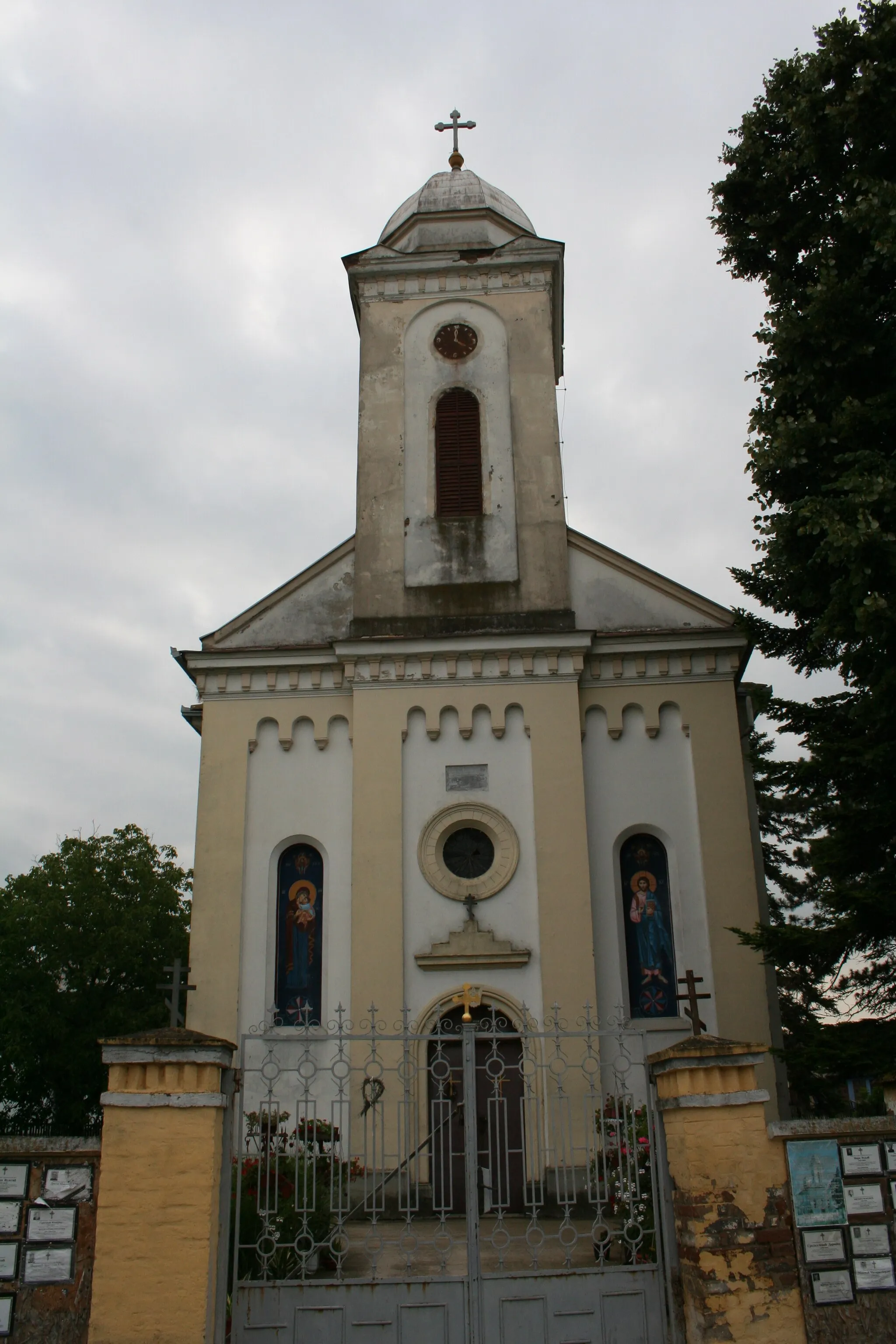
Nikinci is a village located in the Autonomous Province of Vojvodina, Serbia. From a cyclist's perspective, Nikinci provides a mix of flat and rolling terrains, allowing for both leisurely rides and more challenging training sessions. The village is surrounded by lush green fields and forests, providing a scenic backdrop for cycling. Nearby, cyclists can visit the mountain of Fruška Gora, known for its cycling-friendly trails and ancient monasteries. With its diverse landscapes and cycling opportunities, Nikinci offers something for cyclists of all skill levels.11 km
11 km
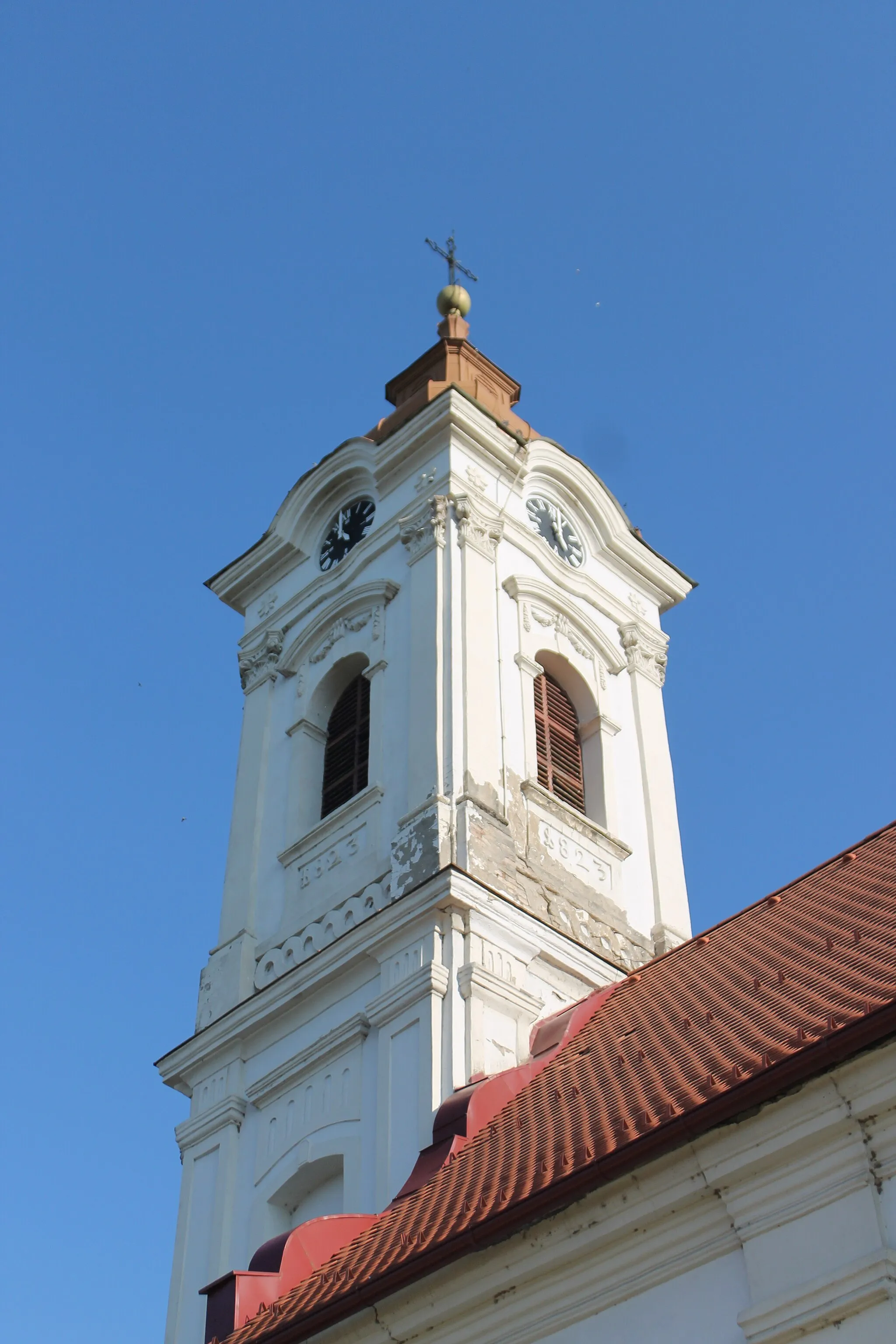
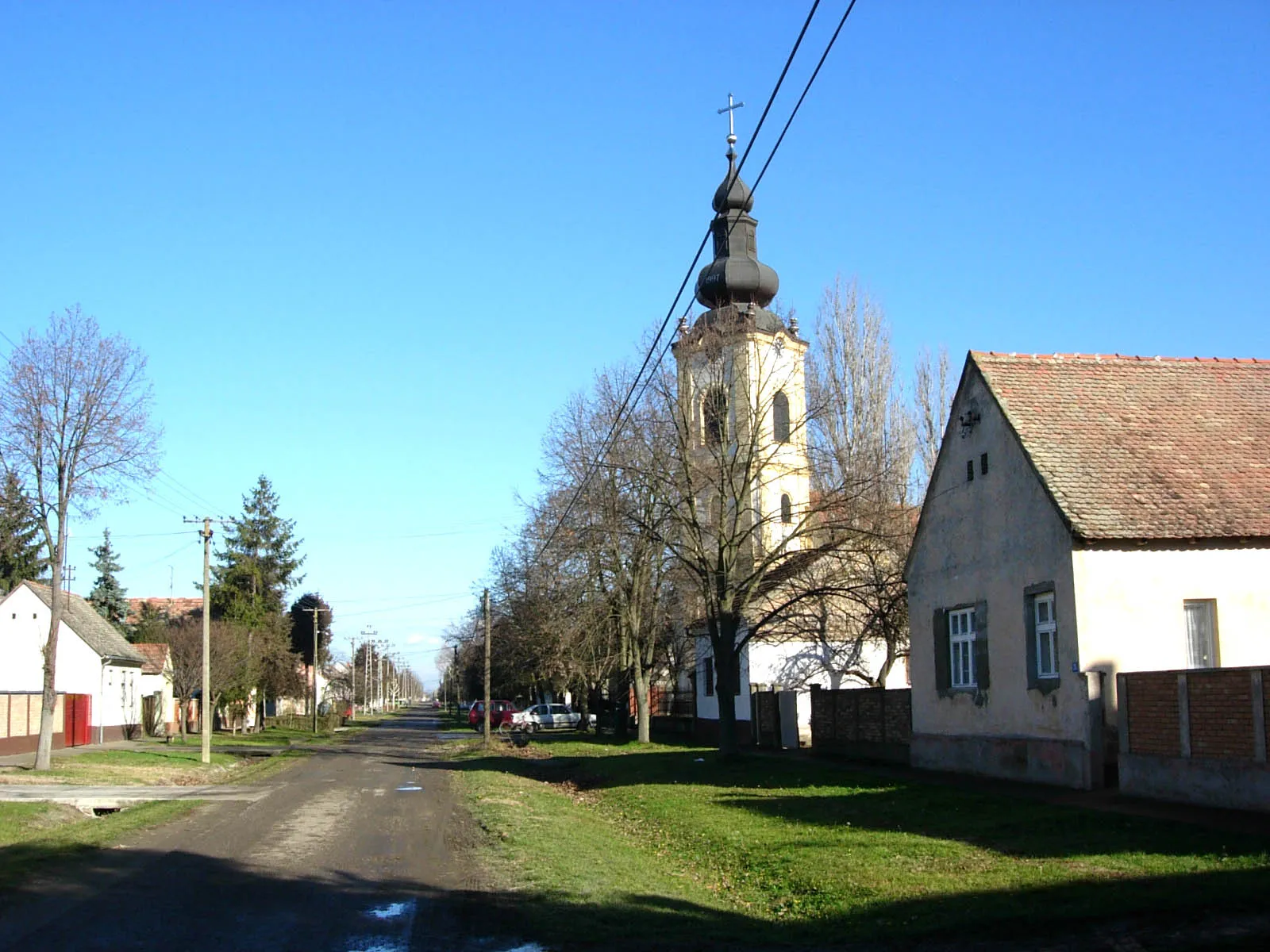
Donji TovarnikVillageDonji Tovarnik offers stunning views of the Danube River. Take a moment to appreciate the natural beauty.
31 km
31 km
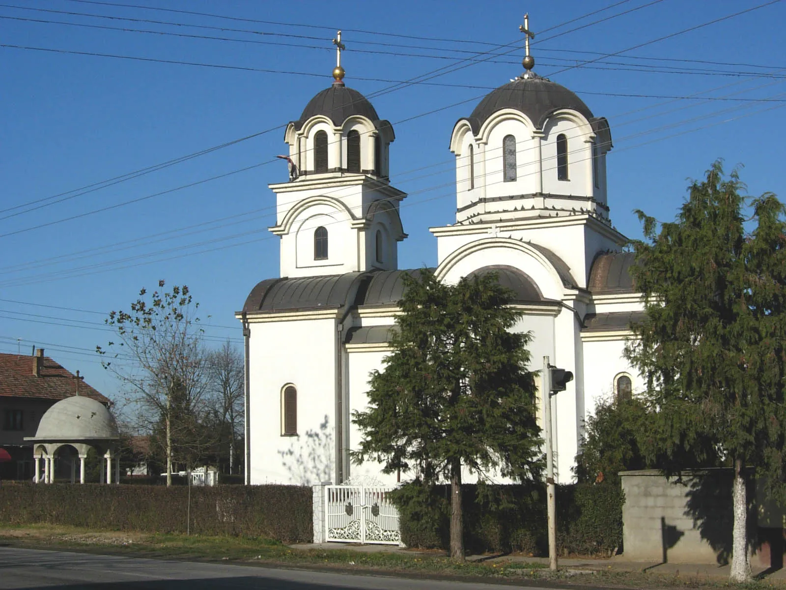
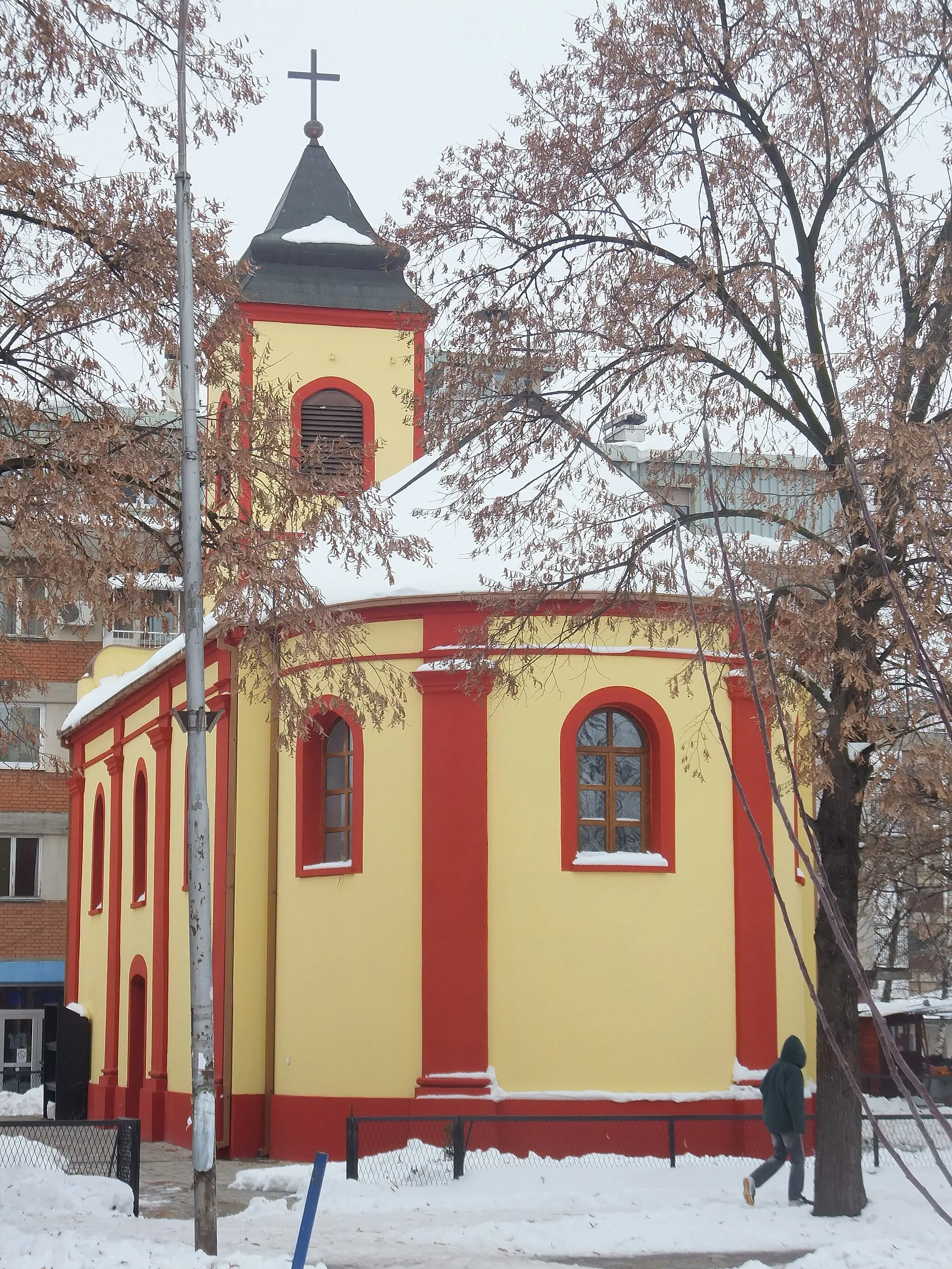
AsanjaVillageIn Asanja, explore the rural countryside and enjoy the tranquility.
41 km
41 km
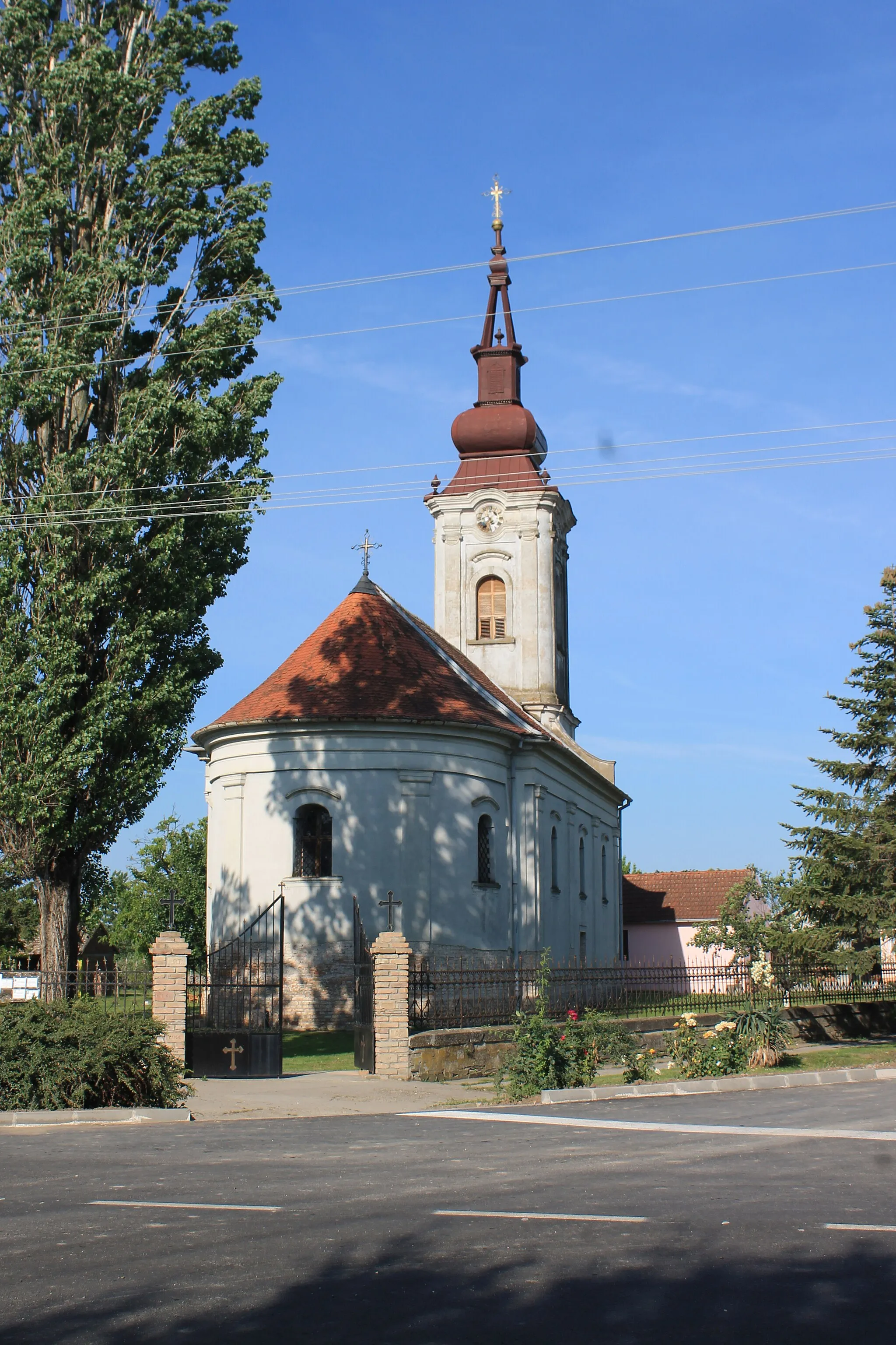
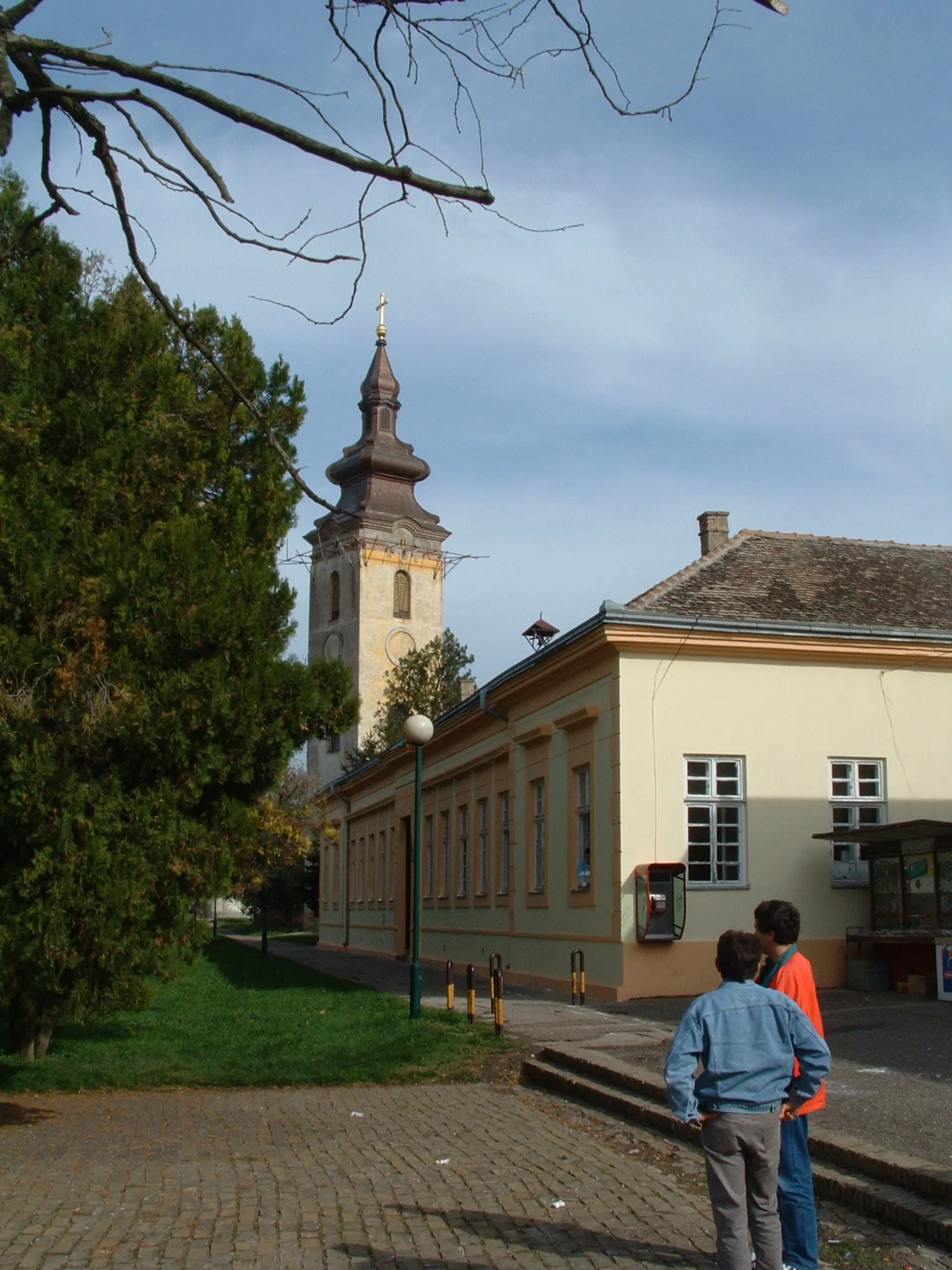
ObrezVillageObrez has a rich history and is known for its medieval fortress. Explore the ancient ruins and immerse yourself in the past.
64 km
64 km
Finish: Никинци Village centerNikinci: Cycling amidst natural beauty in Nikinci
Cycling routes from Nikinci:
Cycling routes nearby: