Cycling through picturesque countryside and cultural heritage.
Cycling routes from Arilje
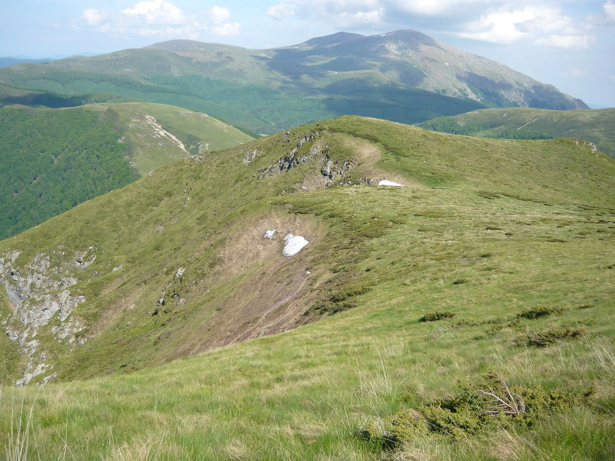
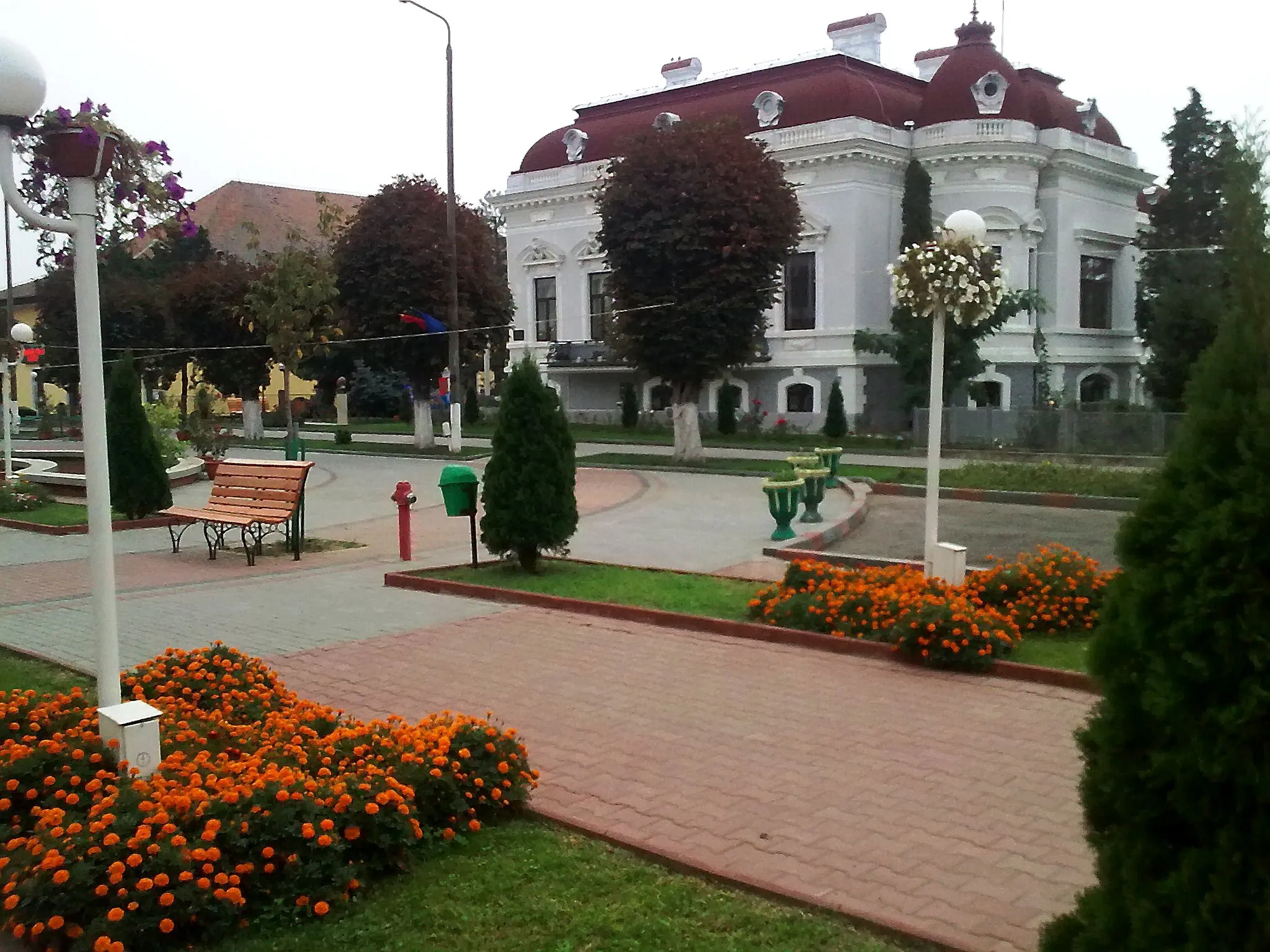
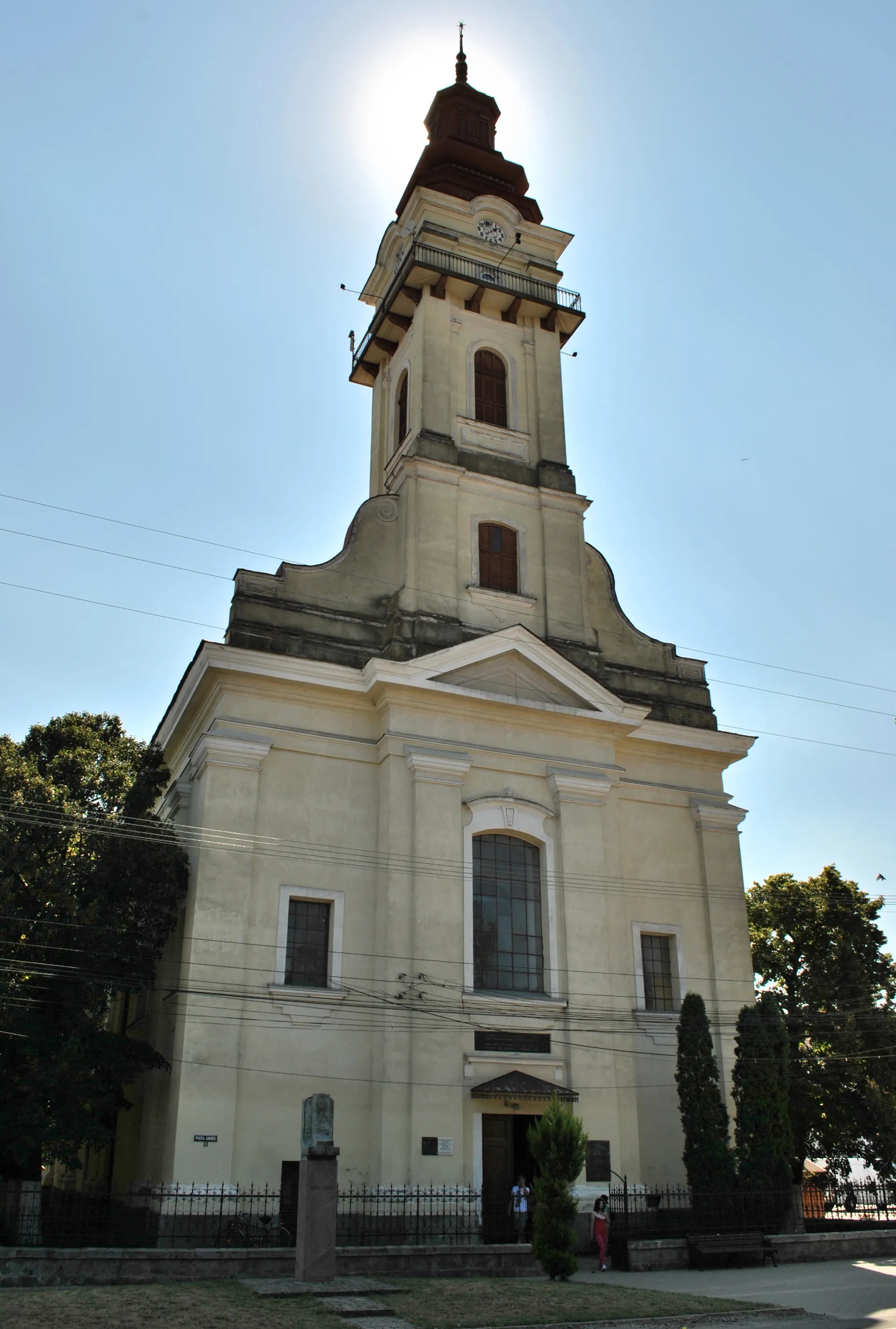
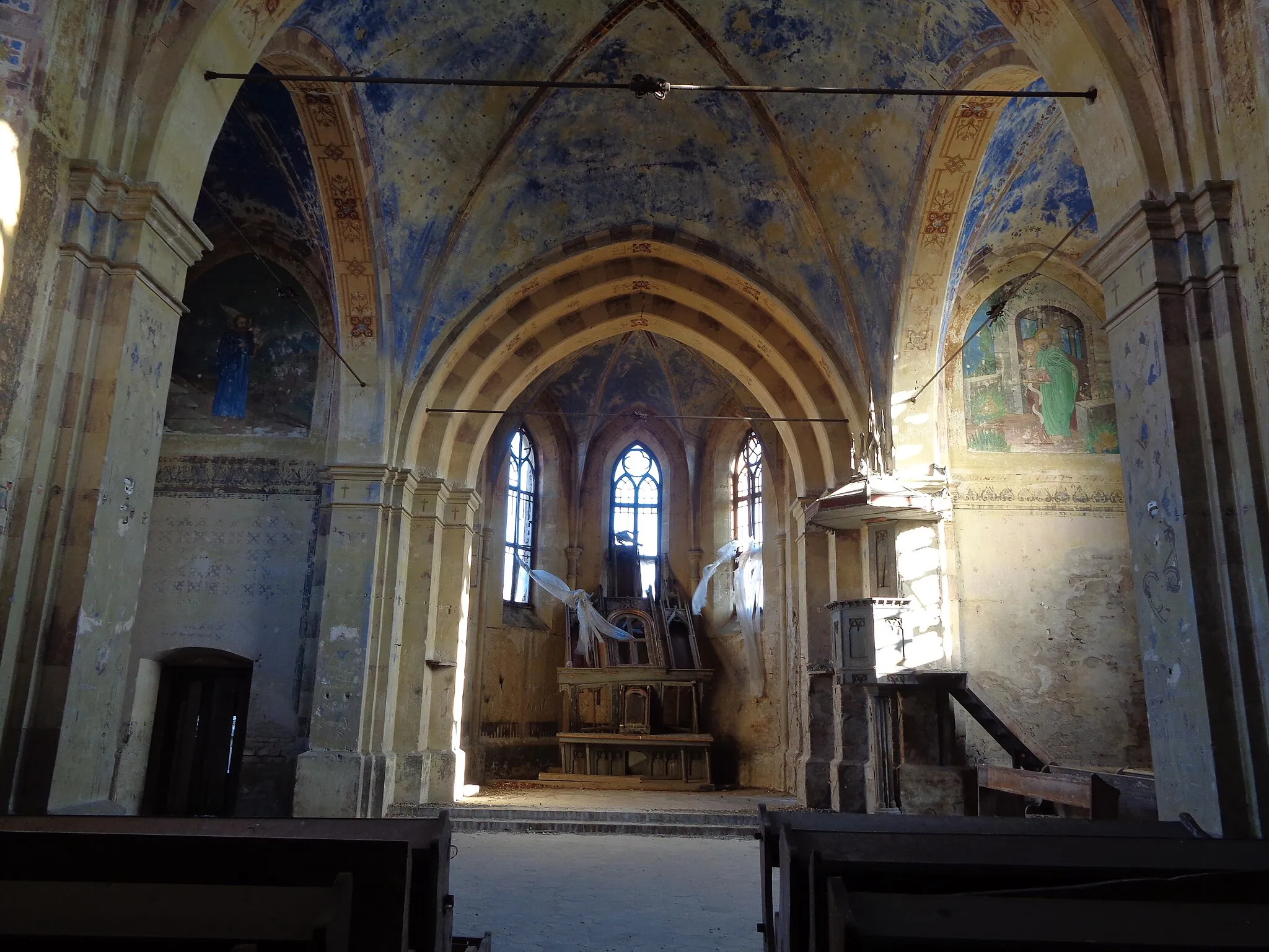
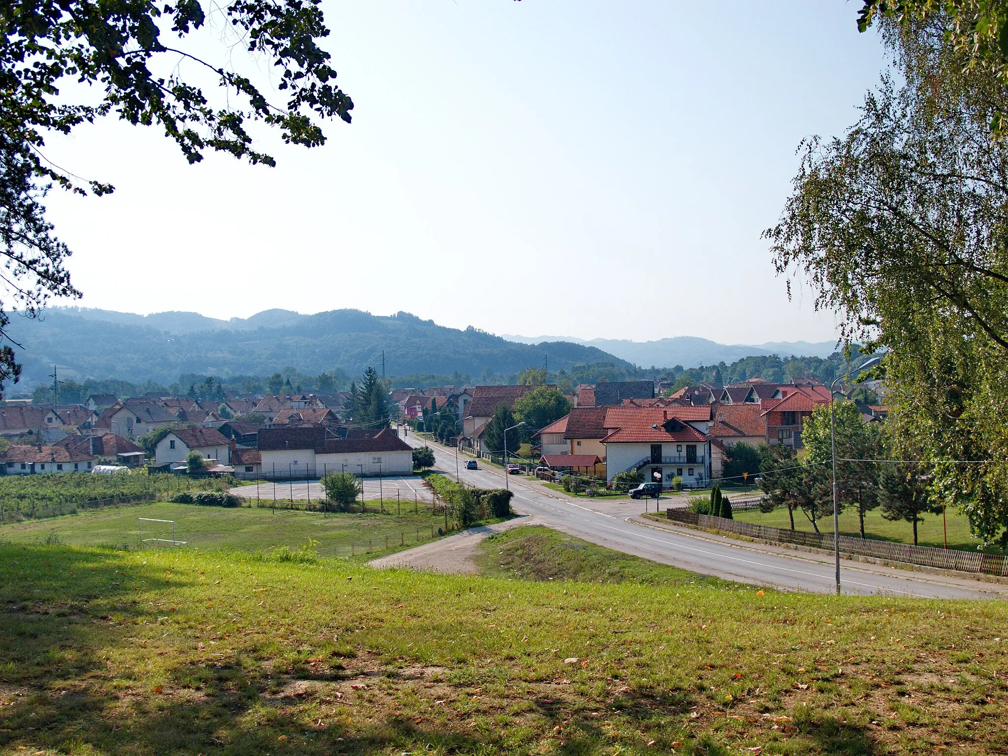
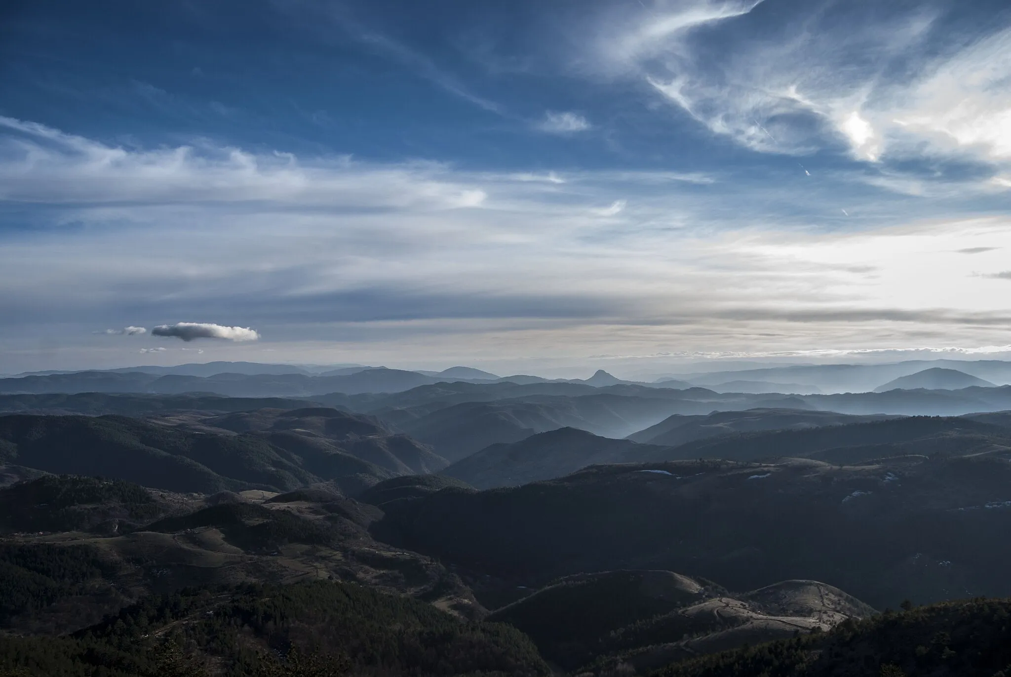
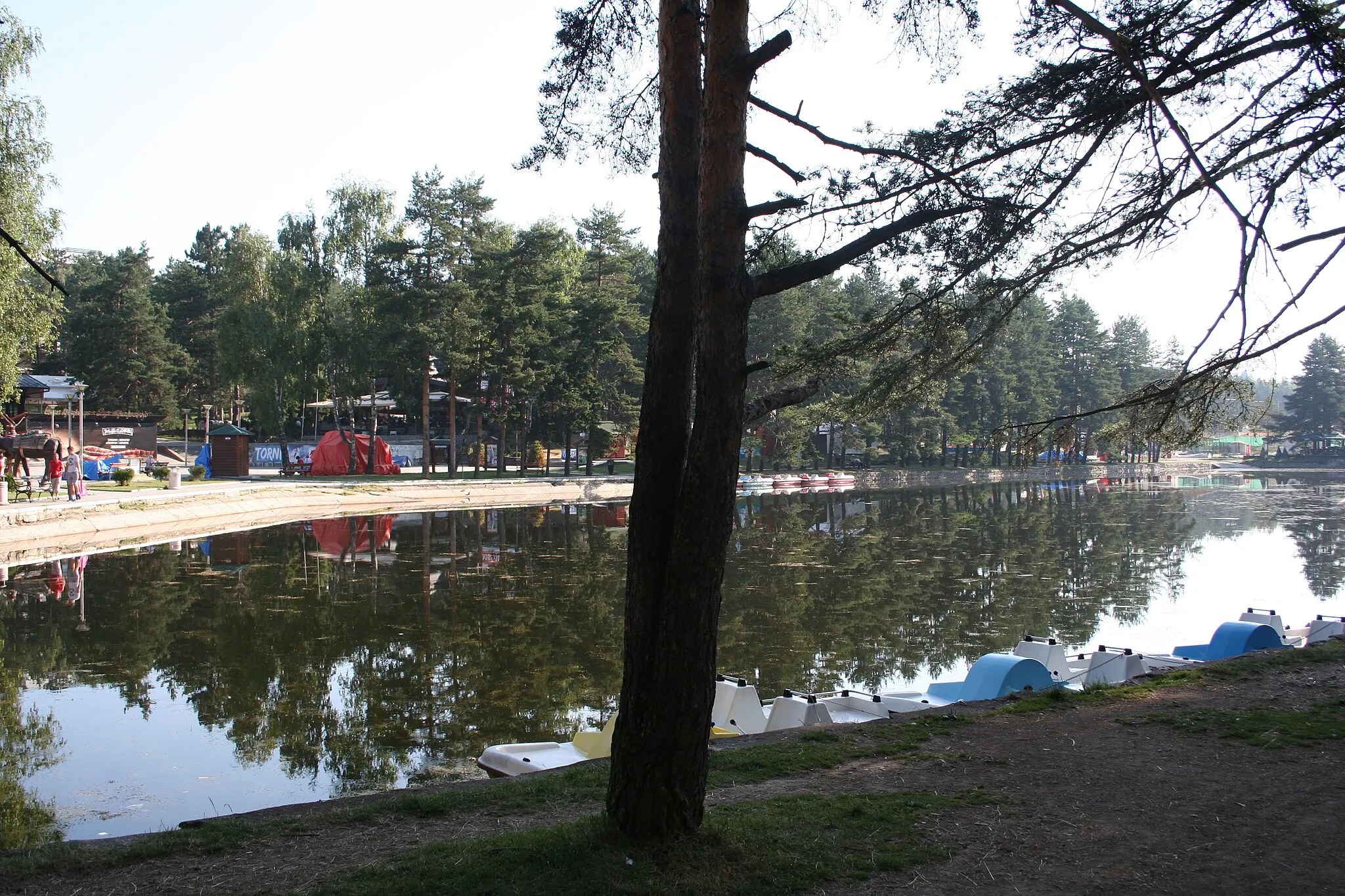
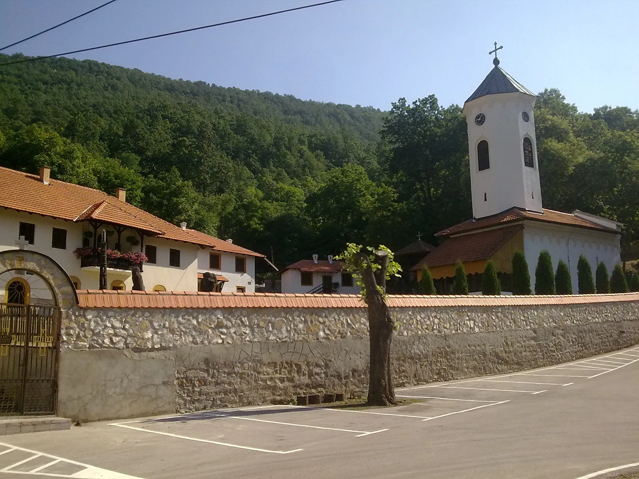
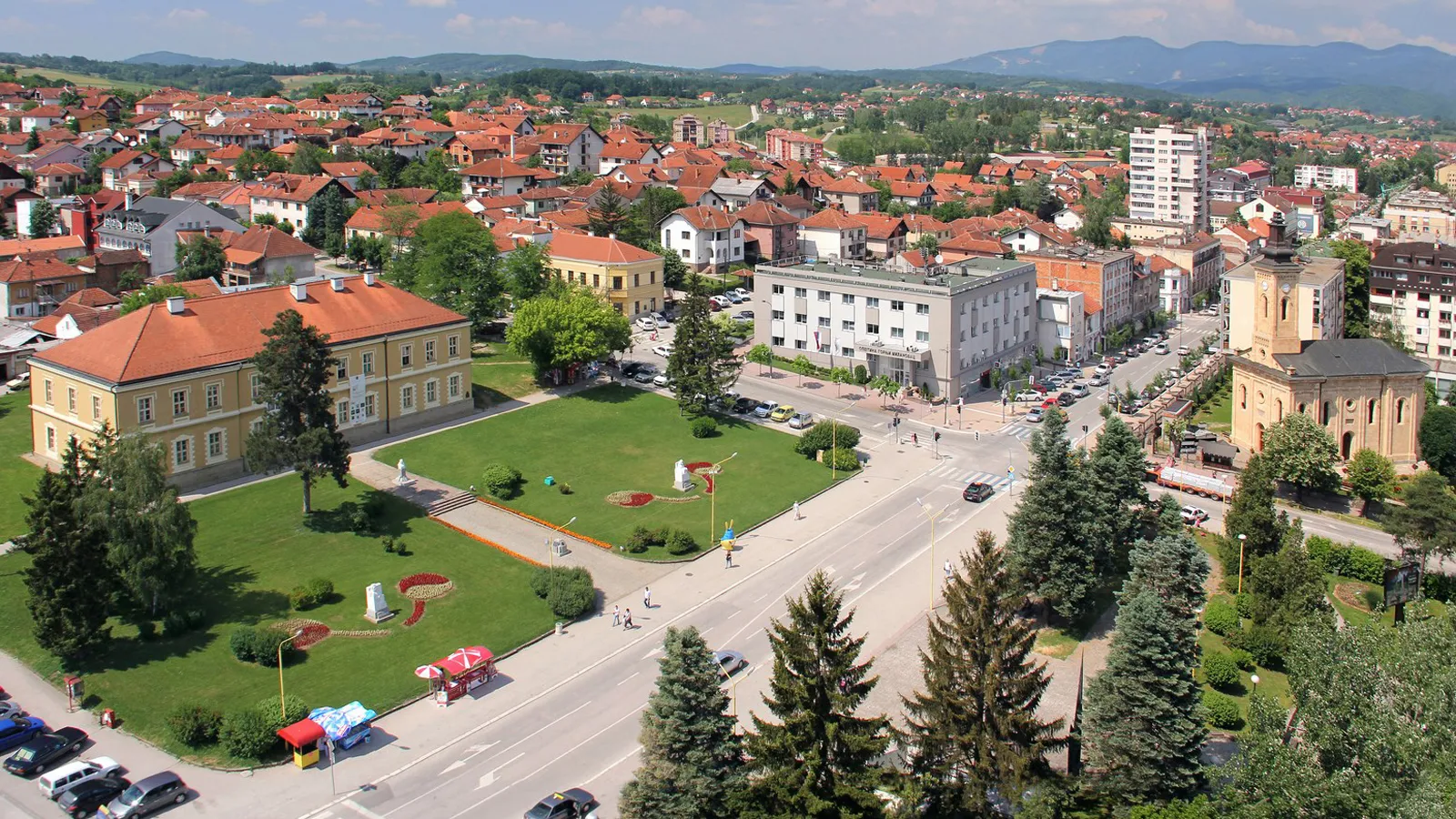
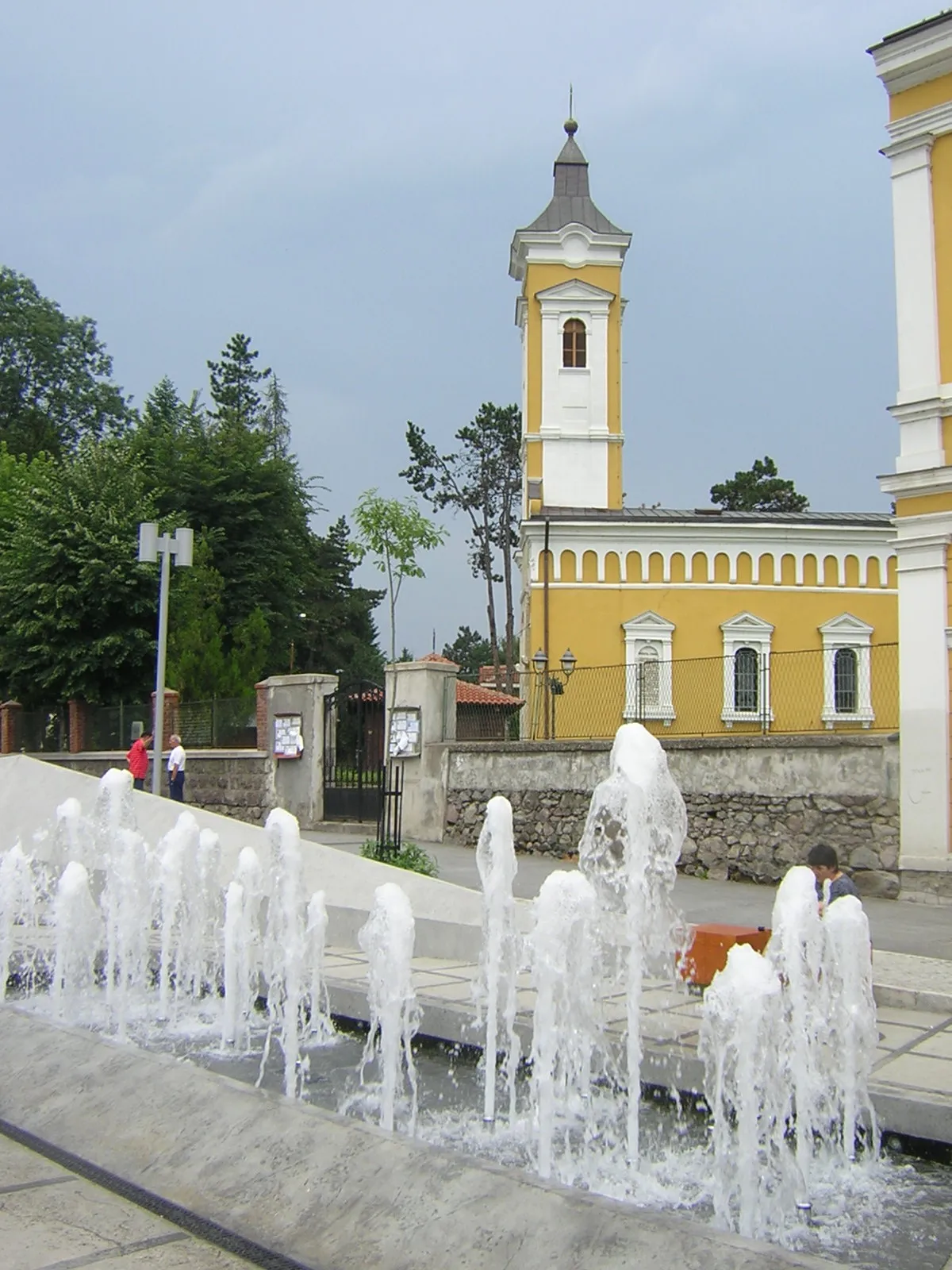
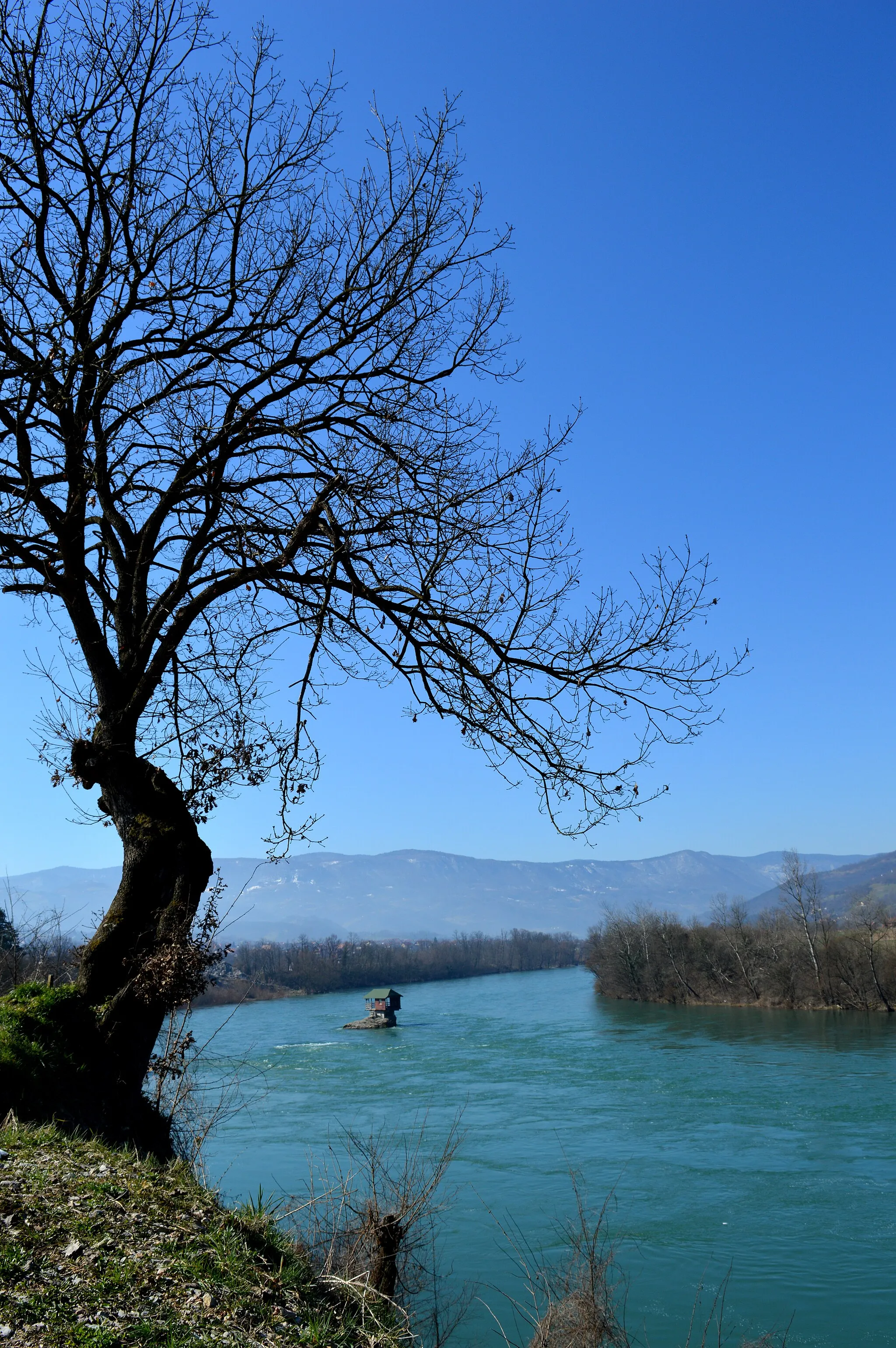
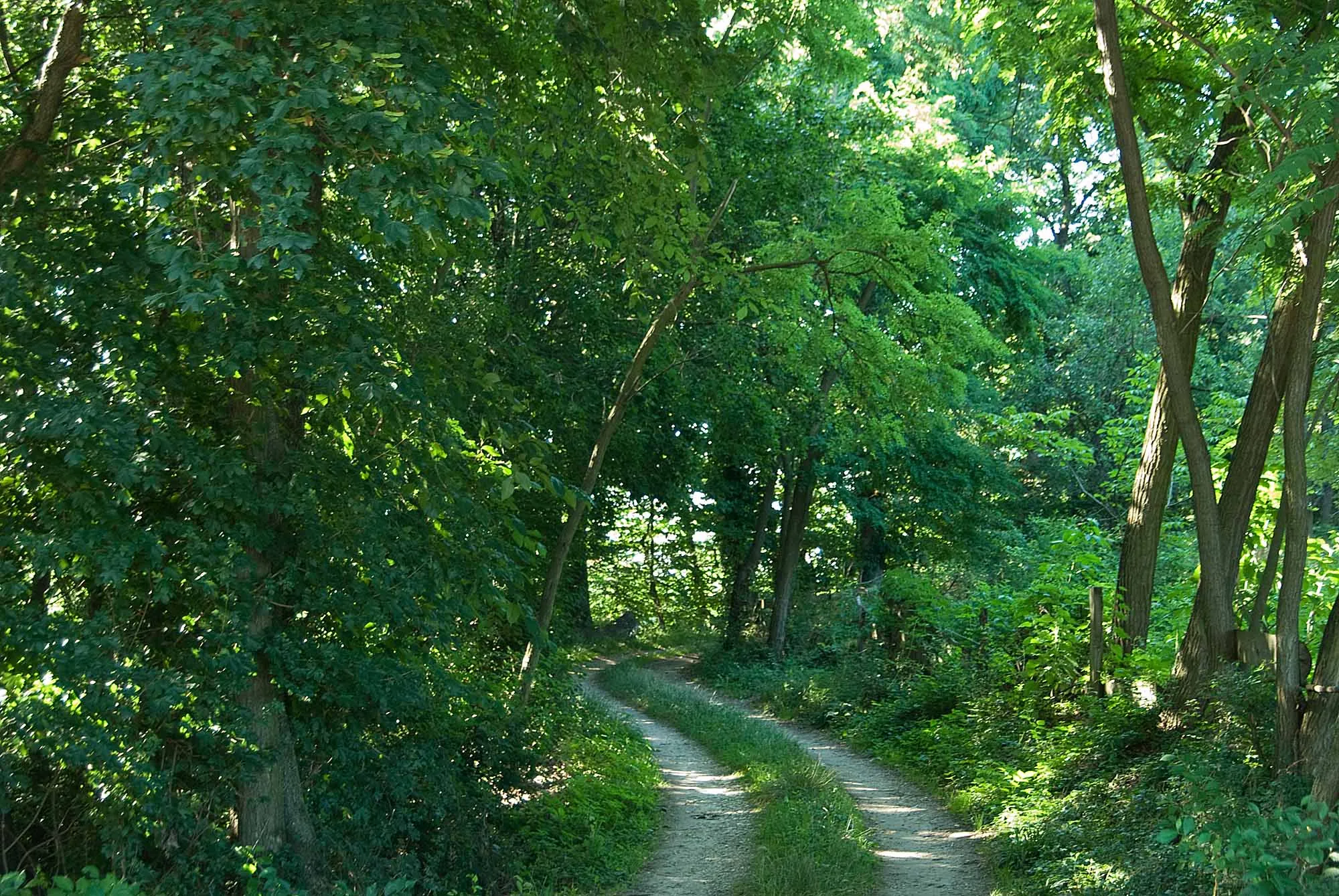
Arilje, located in the Region Šumadije i Zapadne Srbije of Serbia, is a suitable locality for road and gravel cyclists. The town offers moderate to challenging terrain, making it ideal for both recreational and performance-oriented cyclists. Arilje is known for its beautiful countryside, including the nearby Ovcar-Kablar Gorge, which provides stunning vistas during cycling trips. Moreover, the region has cultural attractions such as historic monasteries and traditional Serbian cuisine to offer tourists. With its pleasant cycling routes and scenic landscapes, Arilje ranks as a 3 for its cyclist-friendly environment and tourist attractions.
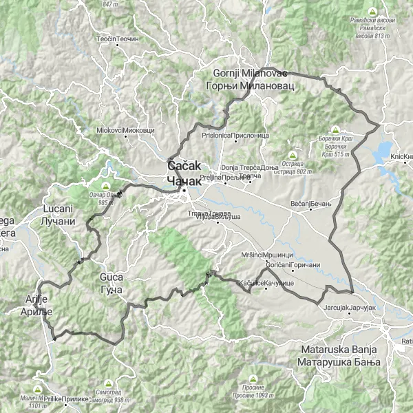
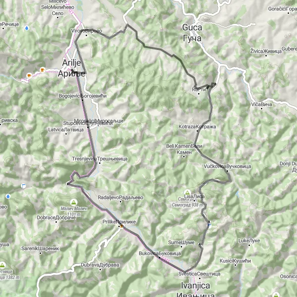
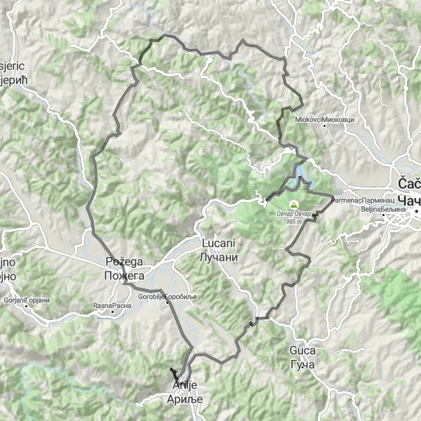
Embark on a grand tour of Arilje and its surrounding countryside, tackling challenging climbs and enjoying breathtaking views
This challenging road cycling route offers a grand tour of Arilje and the surrounding region. With an ascent of 2619m over a distance of 184km, this route is suitable for experienced cyclists seeking a demanding adventure. Along the way, you'll conquer steep climbs, pass through scenic villages, and enjoy stunning panoramic views of the countryside. Highlights include the Lis viewpoint, which offers breathtaking vistas over Arilje and the surrounding landscapes, and the Tavnik mountain pass, known for its difficult ascent and rewarding scenery. The route also passes through traditional villages such as Trbusani and Parmenac, where you can experience the authentic rural beauty of the region.
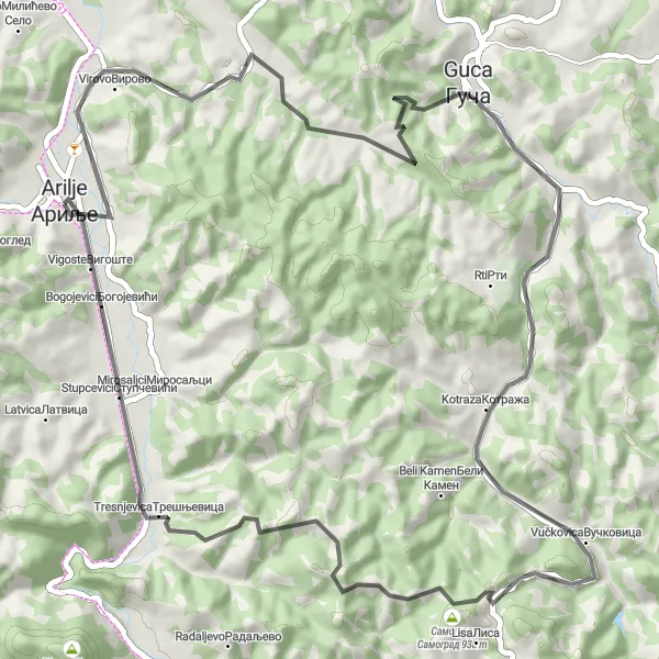
The Lis Circuit
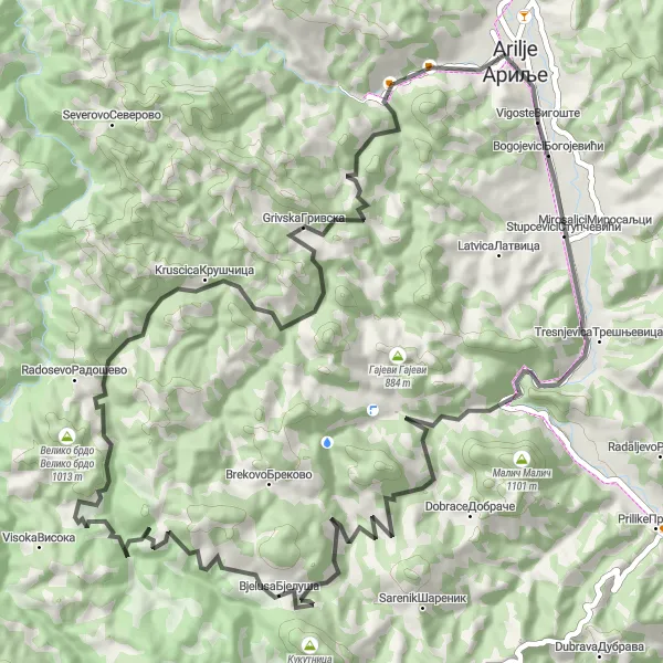
An exhilarating ride through the countryside with stunning views and challenging climbs.
Explore the beautiful Serbian countryside on this challenging road cycling route. With a total ascent of 1717 meters and a distance of 74 kilometers, this circuit takes you through the charming village of Arilje and highlights several key attractions along the way. This route is recommended for experienced cyclists seeking a test of their endurance and a chance to admire the scenic natural beauty of the region.
Embark on a scenic journey through enchanting landscapes with a wonderful mix of easy and challenging terrain.
Experience the diverse beauty of the Šumadije i Zapadne Srbije region on this 59-kilometer road cycling route. With a total ascent of 1248 meters, this loop takes you through picturesque villages and areas of natural beauty. Suitable for moderately experienced cyclists, the Klokoč Loop offers a balance of leisurely stretches and adrenaline-inducing climbs.
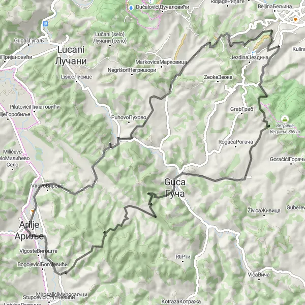
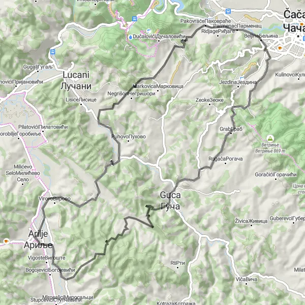
Cerova and Gucha
Embark on a road cycling journey to Cerova and explore the famous village of Gucha
This road cycling route takes you through scenic landscapes to the picturesque village of Cerova. With an ascent of 1021m over a distance of 61km, this route is suitable for experienced amateur cyclists. Along the way, you'll pass by the famous village of Gucha, known for its annual trumpet festival and rich folk traditions. Highlights of the route include the charming village of Kotraza, with its traditional Serbian houses and friendly locals, and the Golo brdo viewpoint, offering stunning vistas of the surrounding countryside.
An adventurous journey amidst lush greenery and rolling hills awaits you on this immersive road cycling route.
Immerse yourself in the tranquil beauty of the Šumadije i Zapadne Srbije region on this 71-kilometer road cycling route. With an ascent of 1017 meters, this circuit offers a mix of challenging climbs and smooth, scenic stretches suitable for intermediate cyclists. From picturesque villages to breathtaking landscapes, this route showcases the best of the area's natural wonders.
Embark on a serene cycling adventure through the beautiful surroundings of Arilje.
Experience a serene cycling adventure as you explore the tranquil landscapes near Arilje. With a total ascent of 1,570 meters and a distance of 76 kilometers, this route provides a challenging yet rewarding experience for well-trained amateur cyclists. Whether you prefer road cycling or gravel riding, this route offers a diverse terrain, including paved roads, gravel paths, and scenic countryside views. Marvel at the stunning natural beauty, breathe in the fresh air, and find inner peace as you pedal through this captivating region.
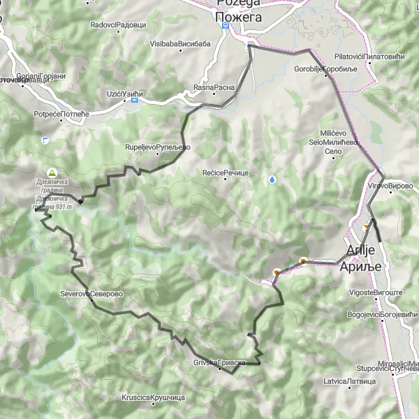
Arilje Loop
Discover the charming town of Arilje and its surrounding countryside on this scenic road cycling route
This loop takes you through picturesque landscapes and quaint villages, offering a glimpse into the rural beauty of the region. With a moderate ascent of 1211m over a distance of 69km, this route is suitable for well-trained amateur cyclists. The route starts and ends in Arilje, a town known for its rich history and traditional Serbian architecture. Along the way, you'll pass through scenic locations such as Klašnica, Požega, and Vranovina. Highlights include the Jelen Do cave, which offers a unique underground cycling experience, and the Lis viewpoint, where you can enjoy stunning panoramic views of the countryside.
Cycle through the beautiful landscapes surrounding Arilje.
Embark on a scenic cycling adventure through the picturesque countryside near Arilje. This route offers breathtaking views, challenging climbs, and a mix of paved roads and gravel paths for a thrilling cycling experience. With a total ascent of 2,149 meters and a distance of 118 kilometers, this route is suitable for well-trained amateur cyclists. Whether you prefer road cycling or gravel riding, this route provides a diverse terrain to test your skills and enjoy the stunning natural surroundings.
Embark on an epic cycling adventure through challenging terrain and rewarded with captivating vistas and cultural gems.
Venture into the heart of Šumadije i Zapadne Srbije region on this exhilarating 71-kilometer road cycling route. With a total ascent of 1455 meters, this circuit is recommended for experienced cyclists seeking a memorable journey through diverse landscapes. From panoramic hilltop views to cultural landmarks, this route showcases the region's natural and historical treasures.
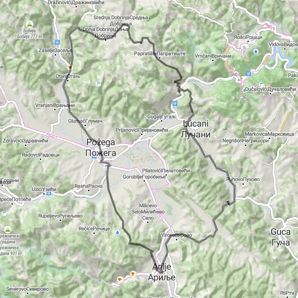
Cerova Summit Expedition
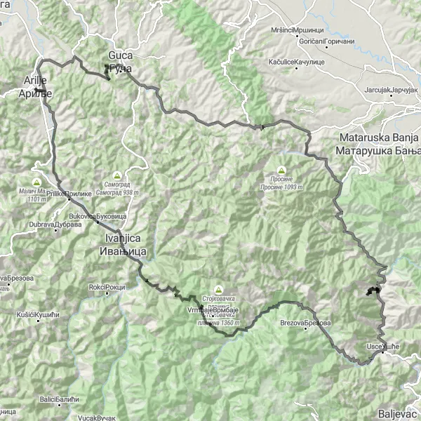
Conquer the challenging ascent to Cerova Summit and enjoy breathtaking views of the surrounding mountain range on this epic road cycling route.
Prepare for an adventure of a lifetime with this 174-kilometer road cycling route leading to the majestic Cerova Summit. With a staggering ascent of 3194 meters, this journey is reserved for elite cyclists seeking an ultimate challenge amidst stunning landscapes. From renowned cultural sites to deep valleys and towering peaks, this route transports you through the most mesmerizing parts of the Šumadije i Zapadne Srbije region.
Cycling routes nearby:

Nearby regions: