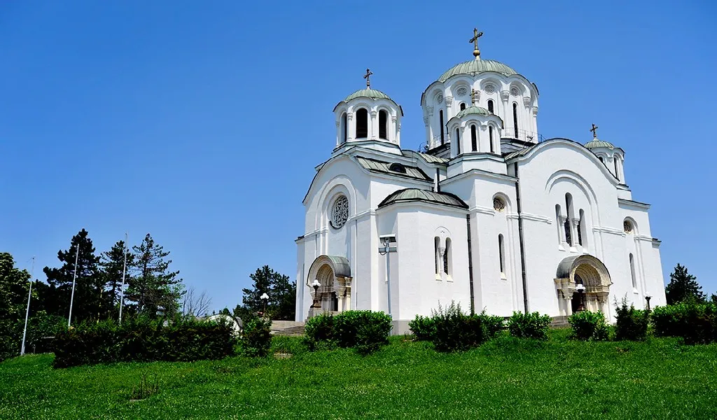
Cyclist's paradise with diverse terrains and cultural landmarks in Serbia.
Cycling routes from Gornji Milanovac
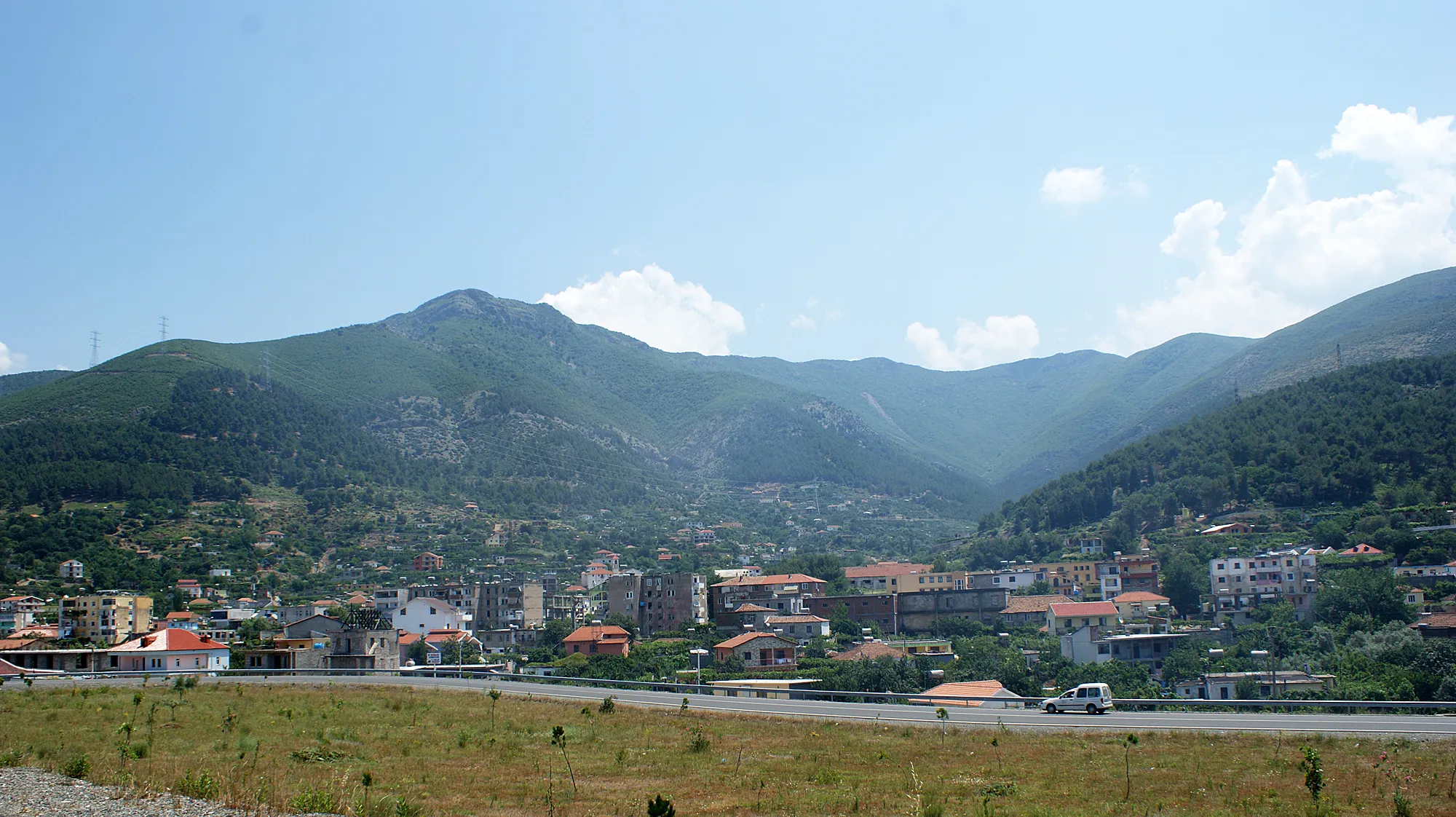
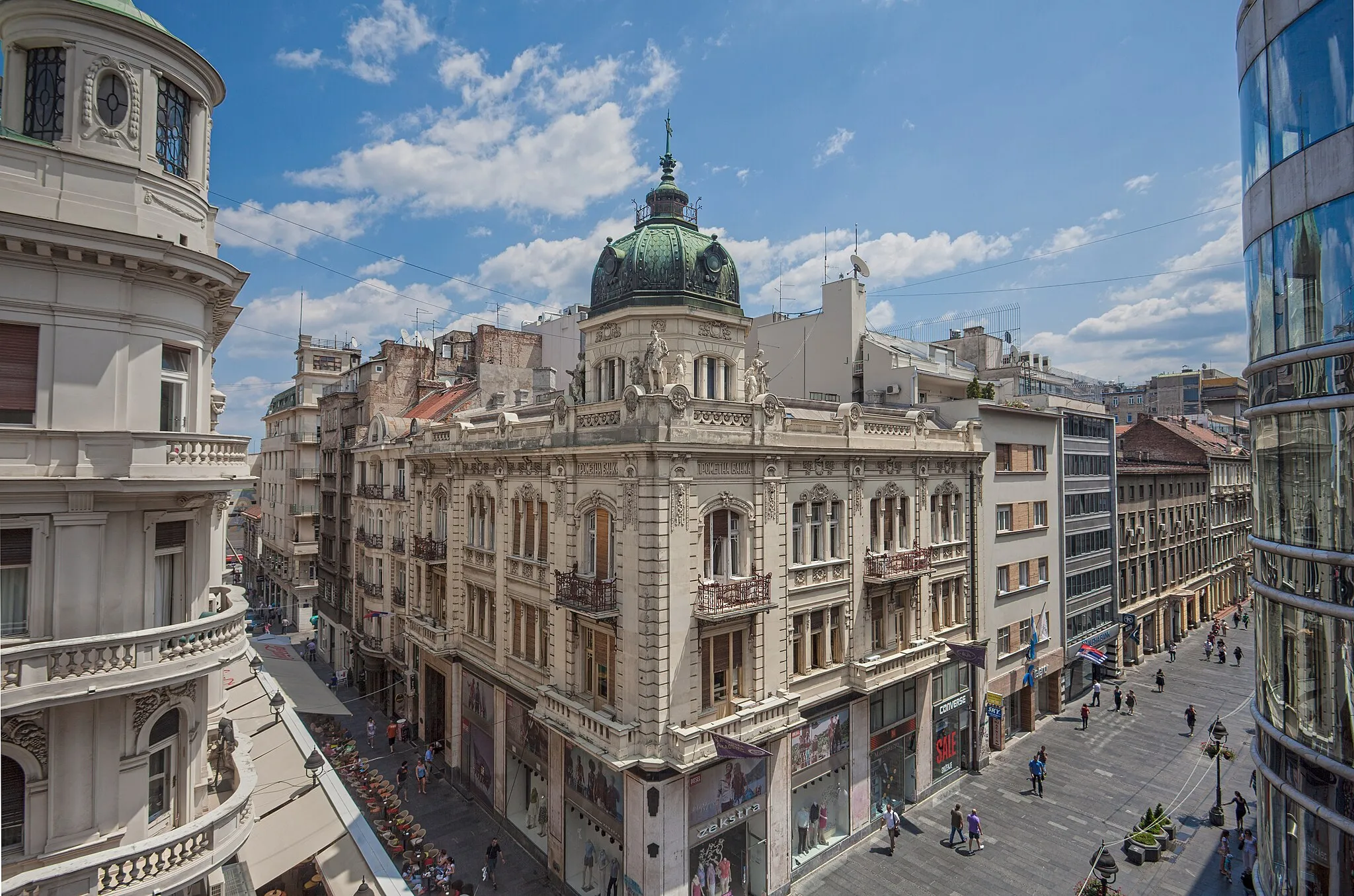
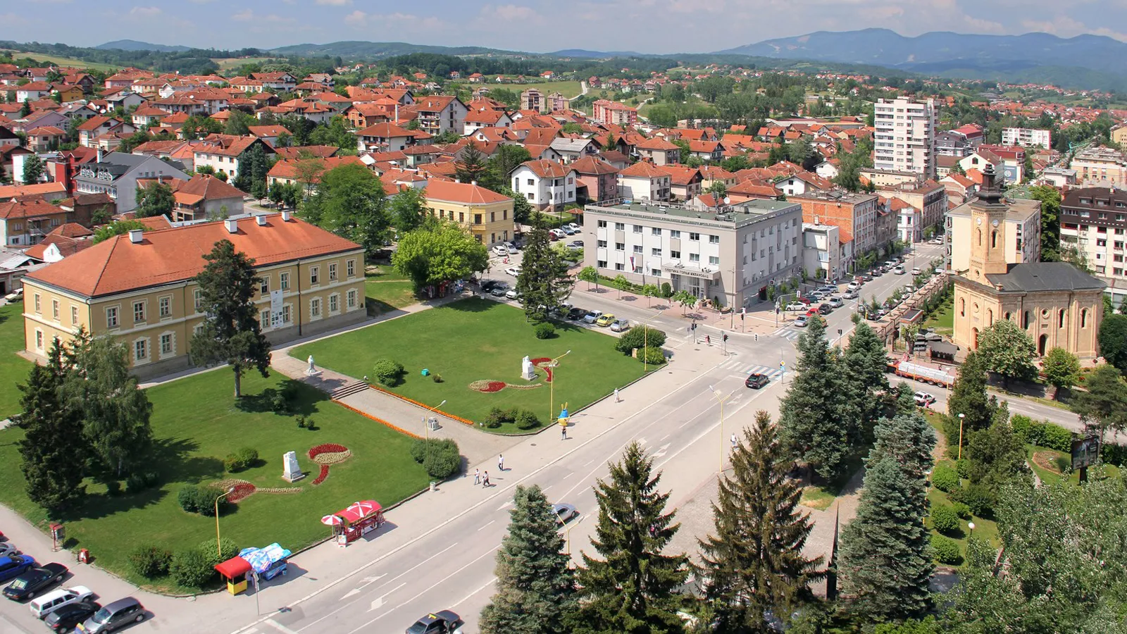
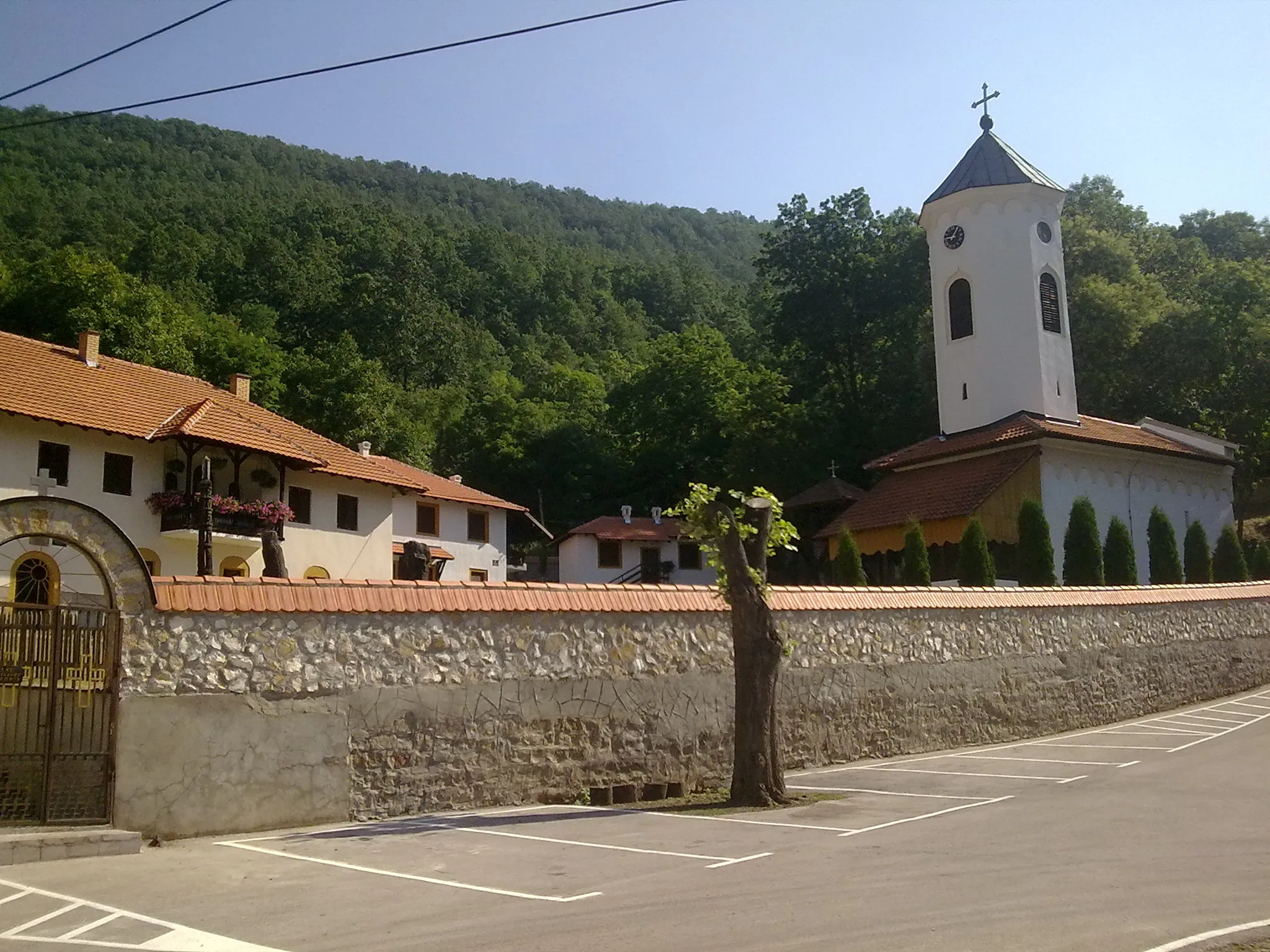
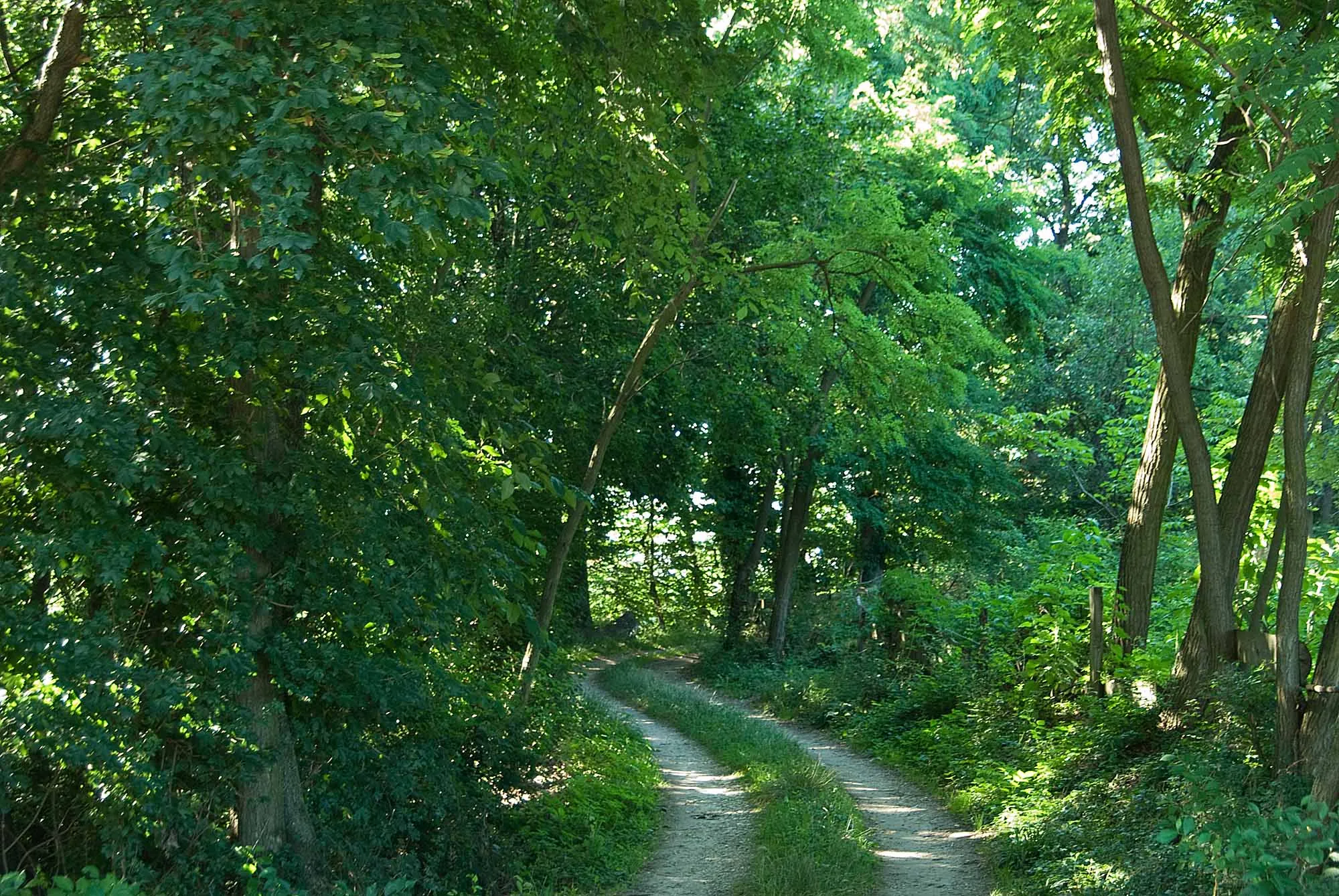
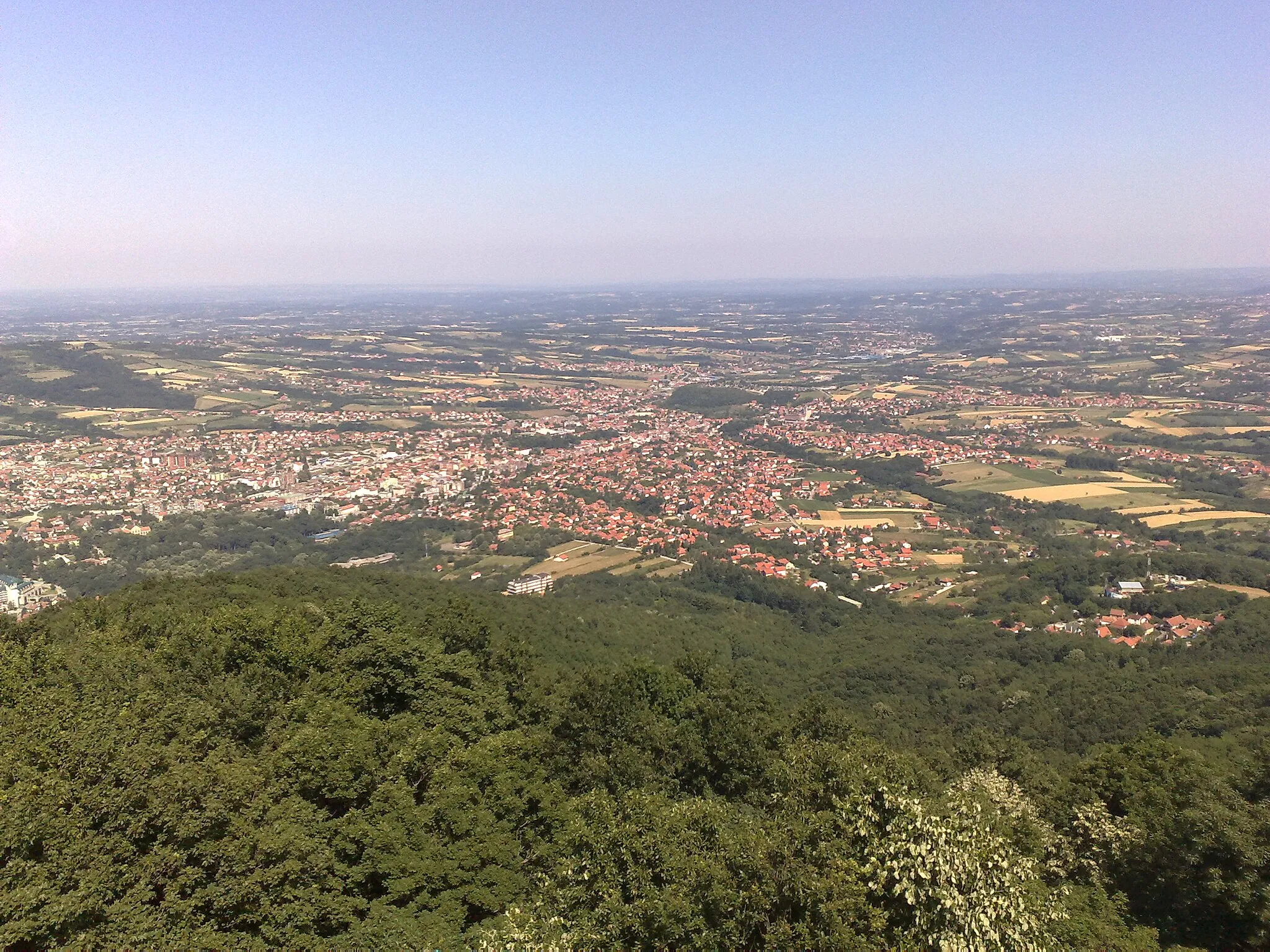
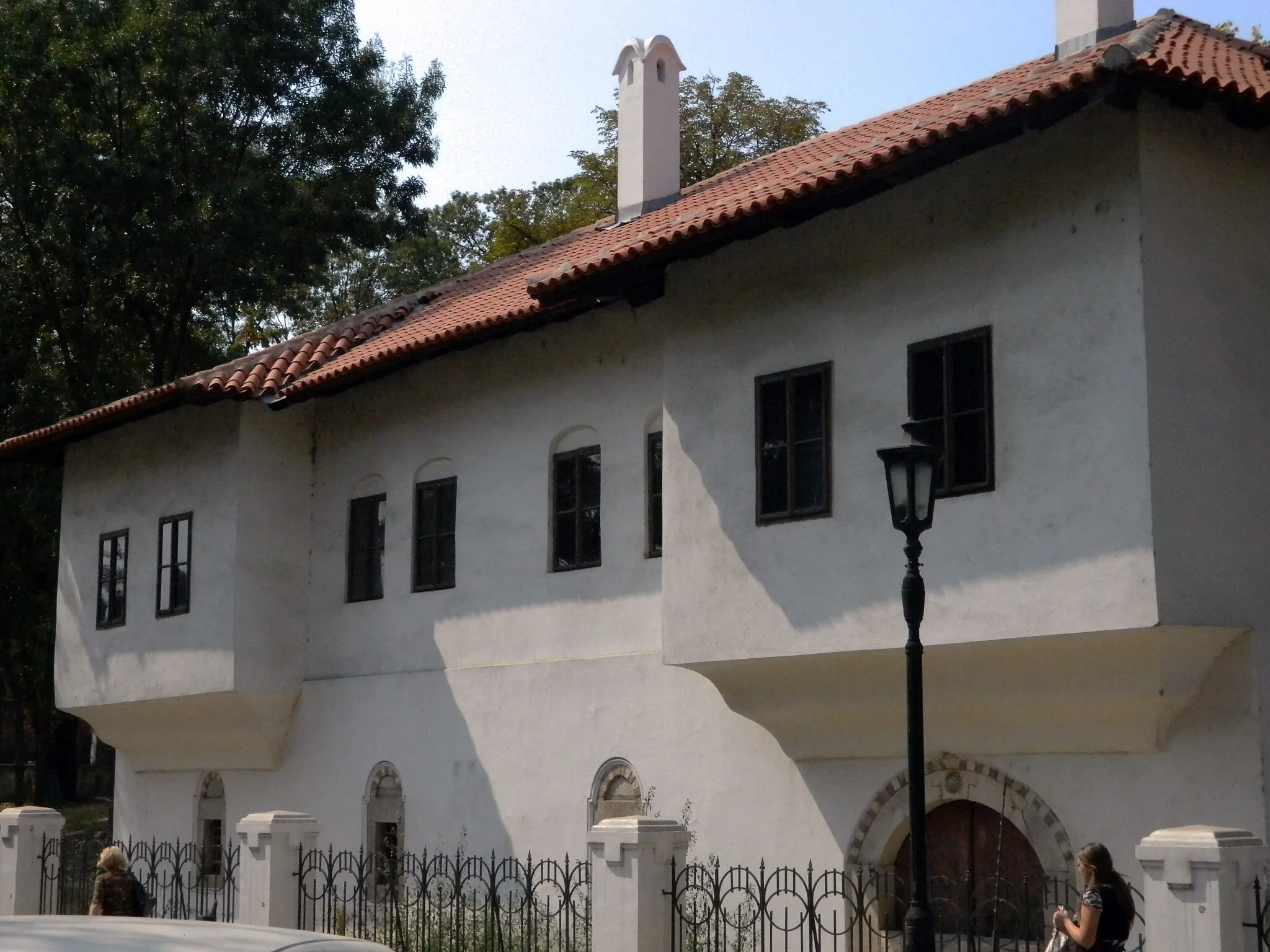
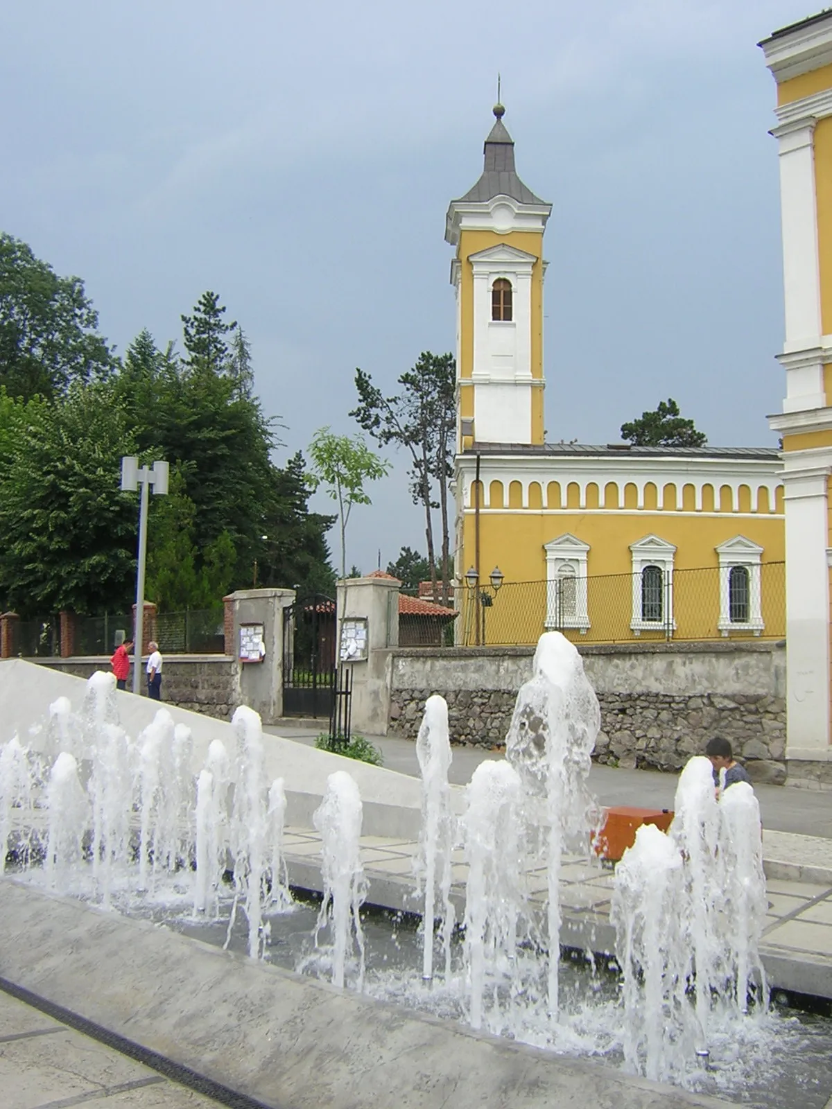
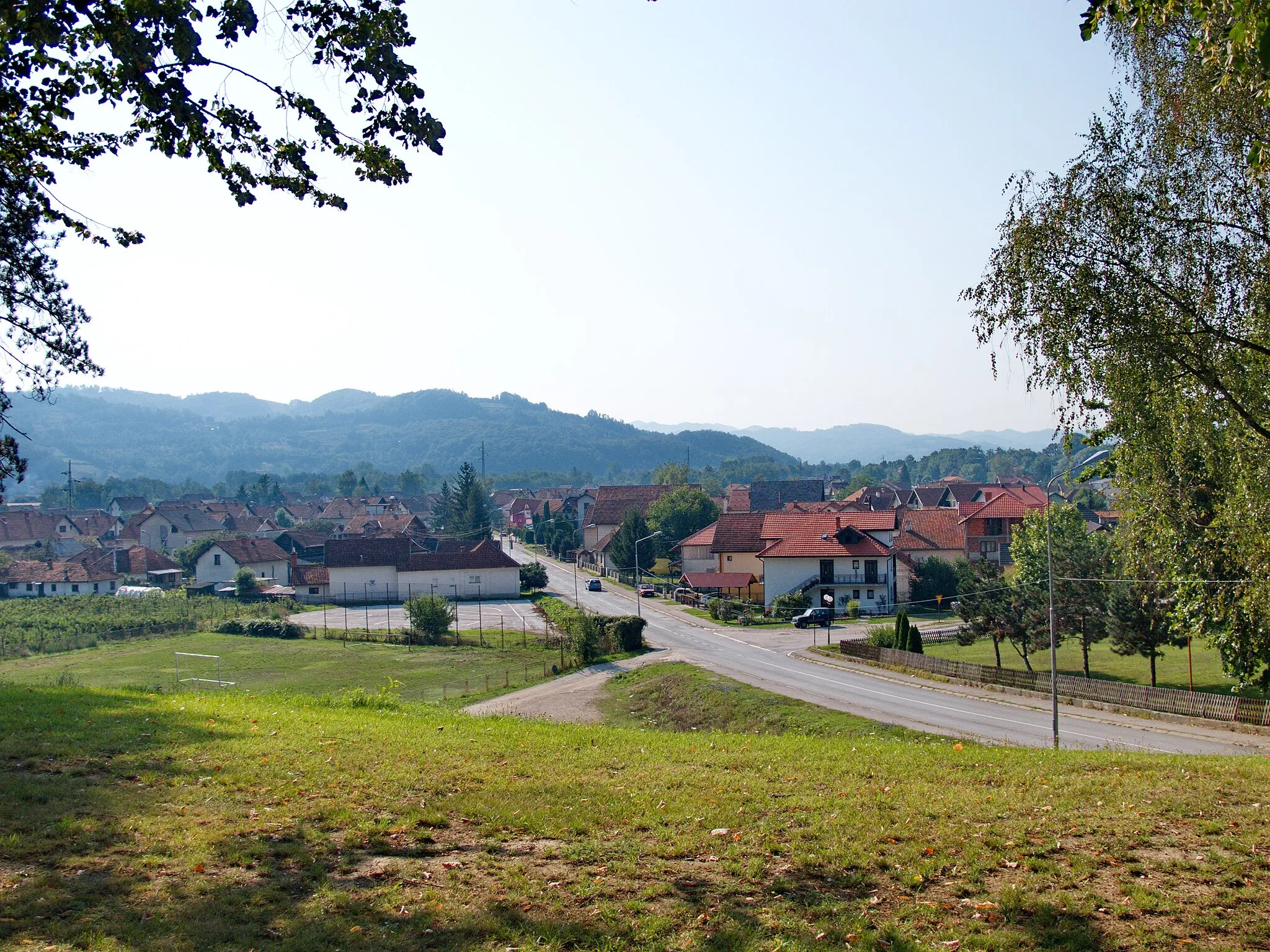
Gornji Milanovac in Serbia's Region Šumadije i Zapadne Srbije is a cyclist's paradise. The locality offers a blend of flat roads, rolling hills, and challenging climbs, catering to cyclists of all levels. The roads are generally well-maintained, providing a smooth riding experience. The region is known for its charming countryside scenery and historical landmarks, making it a perfect destination for both cycling and sightseeing. For climbers, nearby Mount Rudnik offers a notable ascent, attracting local and international cyclists alike. Gornji Milanovac is a great cycling-friendly area that combines beautiful landscapes, cultural heritage, and exhilarating rides.
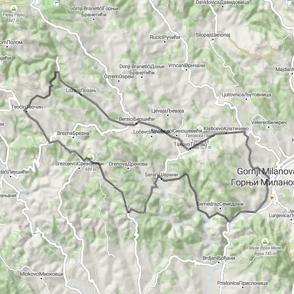
Vracevsnica Loop
A challenging road cycling route with a steep ascent to Vracevsnica
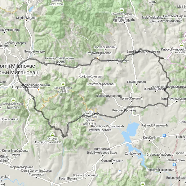
The Vracevsnica Loop is a challenging road cycling route starting from Gornji Milanovac. It features a steep ascent to Vracevsnica, a small village known for its beautiful scenery and traditional architecture. The route offers stunning views of the surrounding countryside and takes cyclists through picturesque villages and lush forests. With a total ascent of 1083 meters and a distance of 73 kilometers, this route is recommended for experienced cyclists looking for a demanding ride in the Šumadija region.
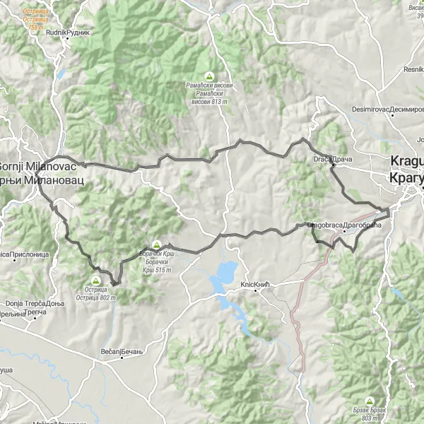
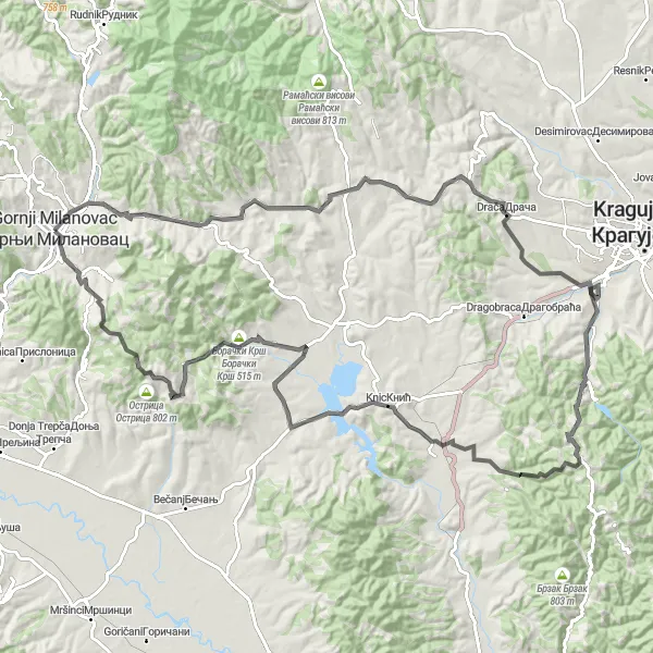
Embark on a scenic journey through Vracevsnica and Boracki Krsh on this road cycling route.
This road cycling route covers a distance of 96 km, with an ascent of 1570 m, making it suitable for cyclists looking for a moderate challenge. The route passes through Vracevsnica, a village renowned for its idyllic landscapes and breathtaking views. Boracki Krsh offers impressive natural formations and hiking trails. Gornji Milanovac, the starting and endpoint of the route, adds to the cultural charm of the journey. Overall, this route provides a scenic adventure amidst natural beauty and cultural heritage.
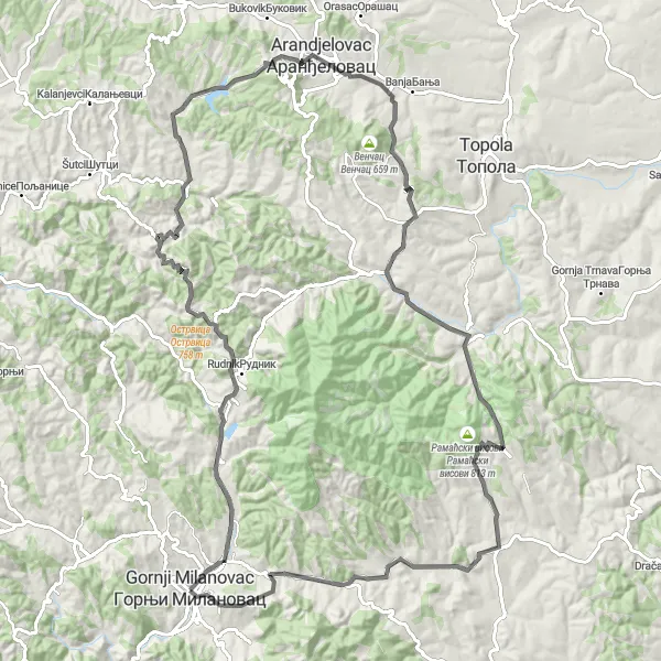
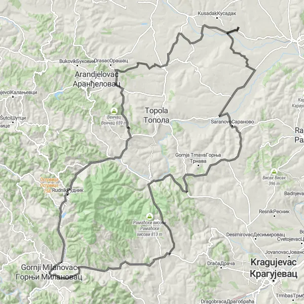
A challenging road cycling route with a climb to Arandjelovac Ridge
The Arandjelovac Ridge Route is a challenging road cycling route starting from Gornji Milanovac. It takes cyclists on a demanding journey through Šumadija's picturesque landscapes, with a highlight being the climb to Arandjelovac Ridge. The route covers a distance of 113 kilometers with a total ascent of 1888 meters. Cyclists will experience breathtaking views, rolling hills, and charming rural villages along the way. A notable highlight of the route is the climb to Arandjelovac Ridge, offering panoramic vistas of the surrounding countryside.
Scenic road cycling route with diverse landscapes
Explore the beautiful region of Šumadija i Zapadne Srbije near Gornji Milanovac on this scenic round-trip cycling route. The route takes you through various landscapes, including mountains, lakes, and charming villages. With a total distance of 98 km and an ascent of 1194 m, it offers a moderate challenge for well-trained amateur cyclists.
Discover hidden gems along the Vranici and Pranjani road cycling route.
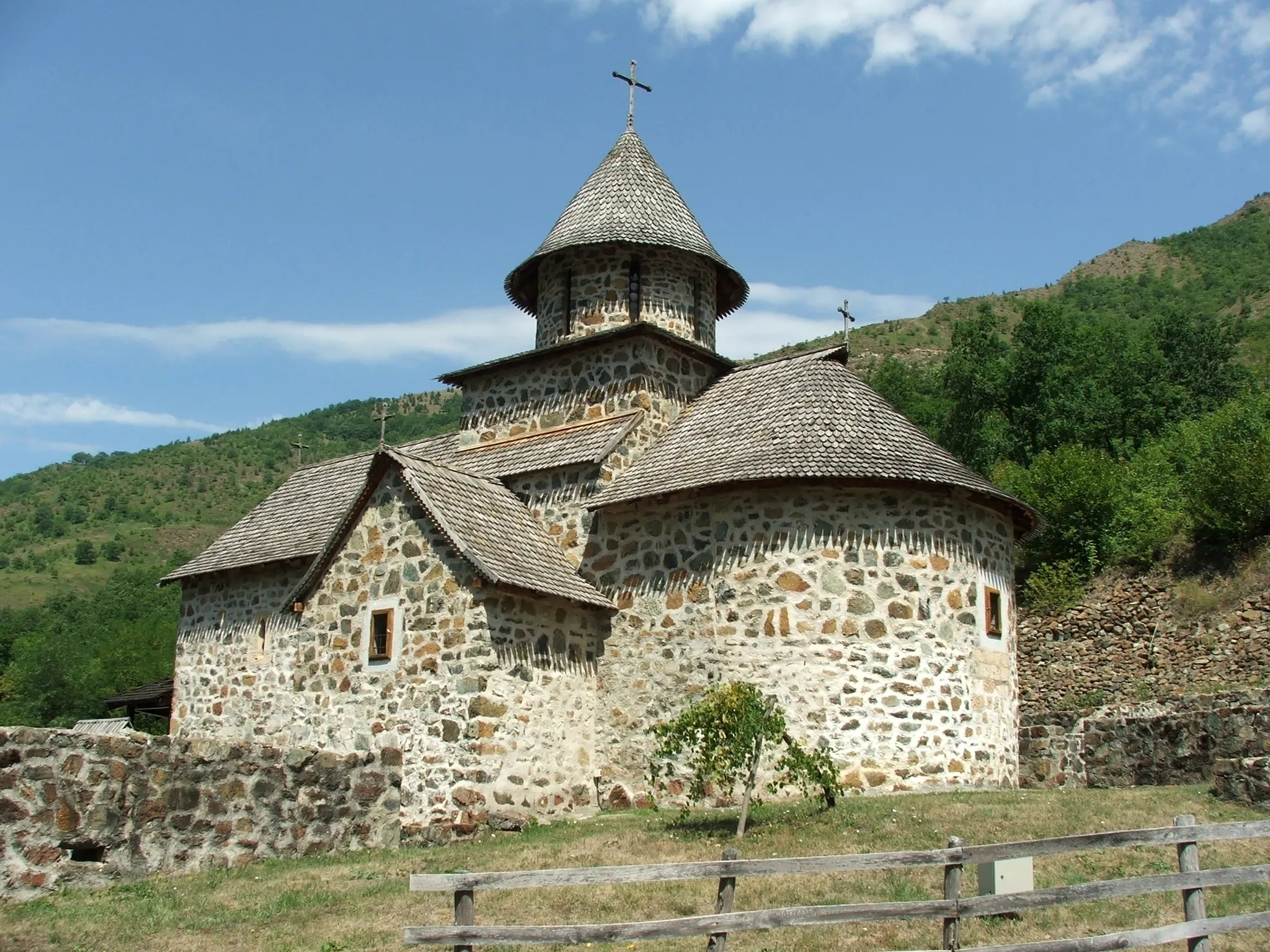
This road cycling route spans 106 km, with an ascent of 1411 m, suitable for cyclists looking for an enriching cultural and natural experience. Explore Vranici, a village known for its historical significance and traditional architecture. Pranjani captivates visitors with its stunning landscapes and attractions such as the Cave Church. With highlights like Bogdanica and Bersici, this route offers a blend of historical landmarks and scenic viewpoints. Gornji Milanovac serves as the starting point and endpoint, adding cultural charm to the journey. Overall, this route combines cultural exploration with a scenic ride.
Explore the beauty of Galich and Takovska Glava on this road cycling route.
With a distance of 57 km and an ascent of 1059 m, this road cycling route is suitable for intermediate-level cyclists seeking moderate challenges. The route passes through the scenic villages of Galich, known for its historical landmarks, and Takovska Glava, offering stunning views of the surrounding landscapes. With highlights like Sarani and Gornji Milanovac, this route provides a balanced mix of cultural and natural attractions. Overall, this route offers a pleasant cycling experience with its picturesque villages and diverse landscapes.
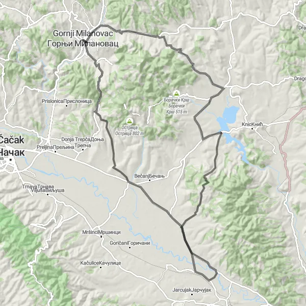
Conquer challenging terrains on this epic road cycling route through Vracevsnica and Boracki Krsh.
Covering a distance of 115 km and an ascent of 1828 m, this epic road cycling route is suitable for experienced riders seeking thrilling adventures. Cyclists will face challenging uphill sections and be rewarded with stunning views and natural landmarks such as Velika kosa and Grosnica. The cultural highlights of Knic and Vujetinci add an extra layer of diversity to the journey. Gornji Milanovac serves as the starting and endpoint of the route, providing a picturesque and cyclist-friendly environment. Overall, this epic route promises an exhilarating cycling experience amidst unspoiled nature and cultural gems.
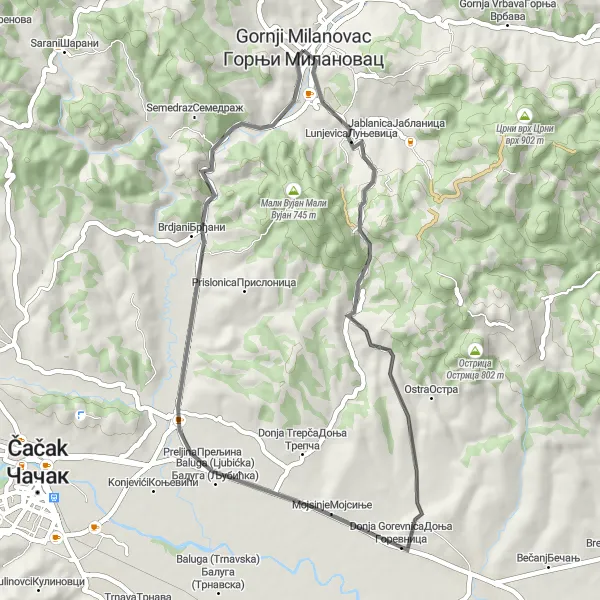
A short yet varied road cycling loop starting from Gornji Milanovac
The Preljina Loop is a relatively short road cycling route starting from Gornji Milanovac, offering diverse scenery and challenges for avid cyclists. The route covers a distance of 44 kilometers with a total ascent of 538 meters. It takes cyclists on a journey through picturesque villages, rolling hills, and charming countryside. Highlights of the route include the small village of Lunjevica, known for its traditional architecture, and the lively town of Preljina, which serves as the halfway point of the loop. With its moderate difficulty level, this route is suitable for cyclists of all fitness levels looking for a shorter, yet rewarding ride in the region.

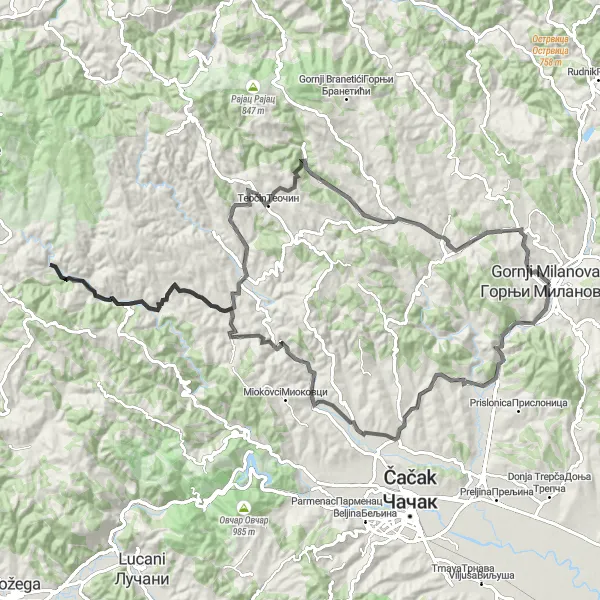
Breathtaking views await on this road cycling route through Sarani and Struganik,
This road cycling route takes you through picturesque villages, with Sarani and Struganik offering stunning views of the surrounding countryside. With a distance of 110 km and an ascent of 1999 m, this route is suitable for experienced cyclists seeking a challenging ride. The highlights along the route include the Sarani village, famous for its traditional architecture, and Struganik, known for its scenic viewpoint. Overall, this route offers a mix of natural beauty and cultural immersion.
The Copper Route
Discover the rich mining history and breathtaking landscapes on this challenging road circuit.
Experience the legacy of Rudnik, Serbia's oldest copper mine, as you cycle through picturesque villages and enjoy stunning views of the surrounding countryside. With a total ascent of 1954 meters, this route is best suited for experienced cyclists. Take a break at Jarmenovci, a charming village known for its traditional architecture. As you approach Јеленац, be prepared to be enchanted by the quaint streets and local hospitality. Pedal through Ratari and catch a glimpse of the famous Ratari Bridge before conquering the challenging section leading to Bare. The high point of your journey awaits at Велики врх Грабовачки Рилова плоча, offering unparalleled panoramic views. Finish your adventure in Gornji Milanovac, a vibrant town with a rich cultural heritage.
Cycling routes nearby:

Nearby regions: