Arandjelovac Ridge Route
A road cycling route starting from Gornji Milanovac
A challenging road cycling route with a climb to Arandjelovac Ridge
Map
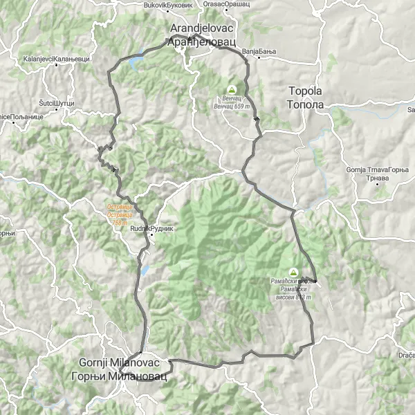
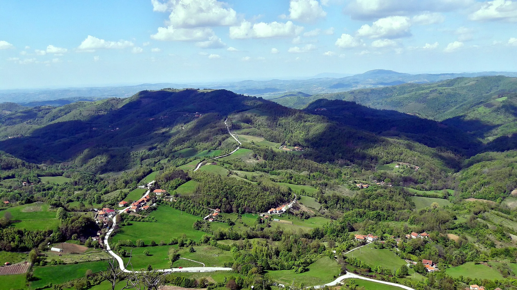
The Arandjelovac Ridge Route is a challenging road cycling route starting from Gornji Milanovac. It takes cyclists on a demanding journey through Šumadija's picturesque landscapes, with a highlight being the climb to Arandjelovac Ridge. The route covers a distance of 113 kilometers with a total ascent of 1888 meters. Cyclists will experience breathtaking views, rolling hills, and charming rural villages along the way. A notable highlight of the route is the climb to Arandjelovac Ridge, offering panoramic vistas of the surrounding countryside.
road
113 km
1888 m
Tough
Route profile
Highlights on the route
0 km
0 km
Start: Горњи Милановац City centerGornji Milanovac: Cyclist's paradise with diverse terrains and cultural landmarks in Serbia.
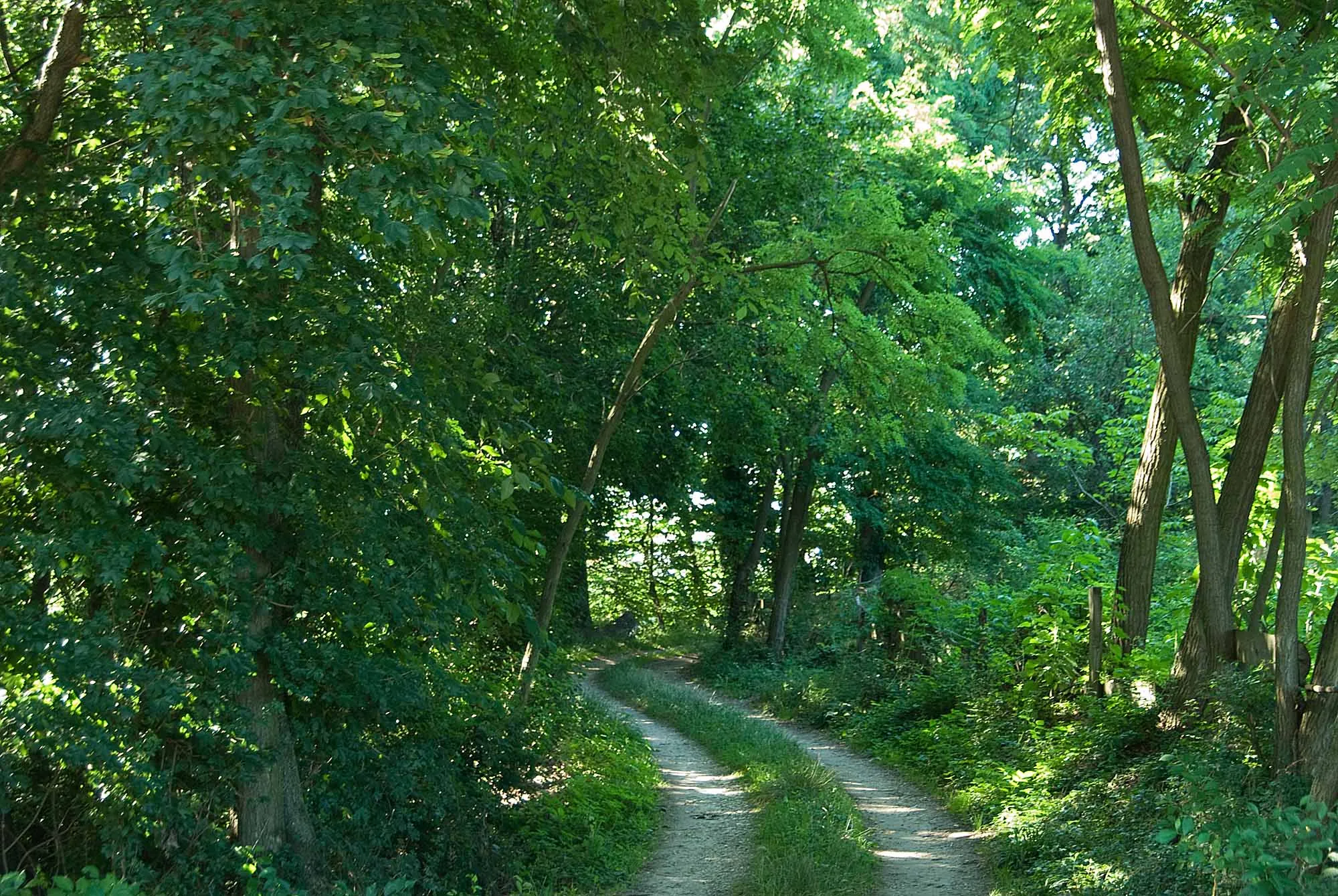
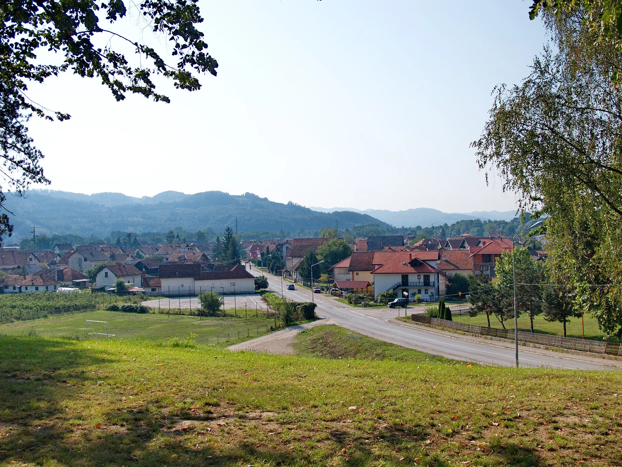
Gornji Milanovac in Serbia's Region Šumadije i Zapadne Srbije is a cyclist's paradise. The locality offers a blend of flat roads, rolling hills, and challenging climbs, catering to cyclists of all levels. The roads are generally well-maintained, providing a smooth riding experience. The region is known for its charming countryside scenery and historical landmarks, making it a perfect destination for both cycling and sightseeing. For climbers, nearby Mount Rudnik offers a notable ascent, attracting local and international cyclists alike. Gornji Milanovac is a great cycling-friendly area that combines beautiful landscapes, cultural heritage, and exhilarating rides.9 km
9 km
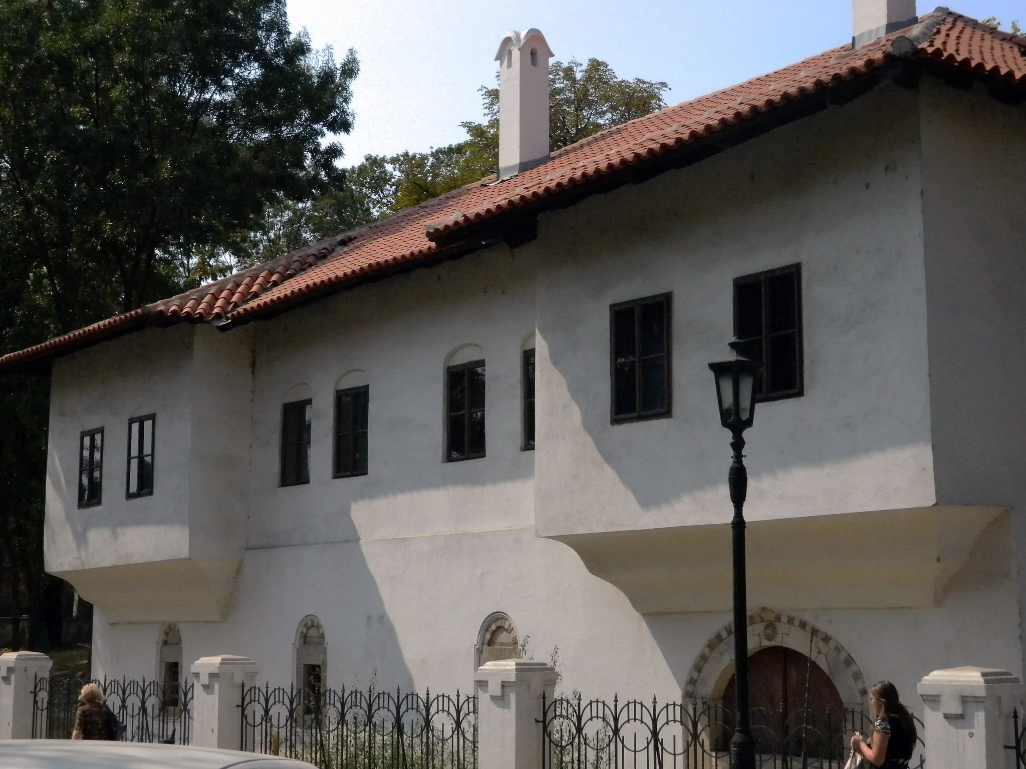
MajdanVillageMajdan, around 9 kilometers into the route, is a small village with traditional houses and scenic views of the surrounding countryside.
22 km
22 km
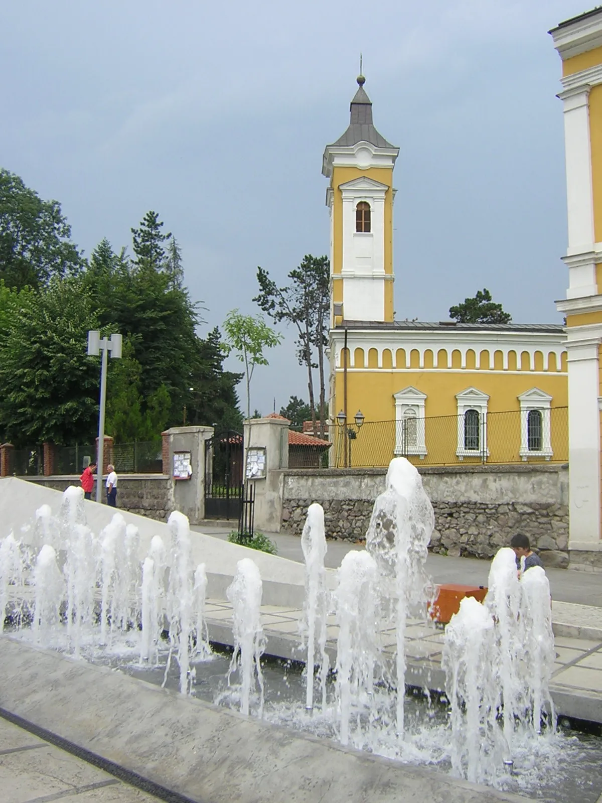
ВарницеVillageVarnice, situated at the 22-kilometer mark, is a picturesque village known for its beautiful Orthodox church and panoramic views.
27 km
27 km
Крња јела539 mPeakKrnča Jela, around 27 kilometers into the route, is a secluded spot offering stunning views of the surrounding landscapes and peaceful surroundings.
45 km
45 km
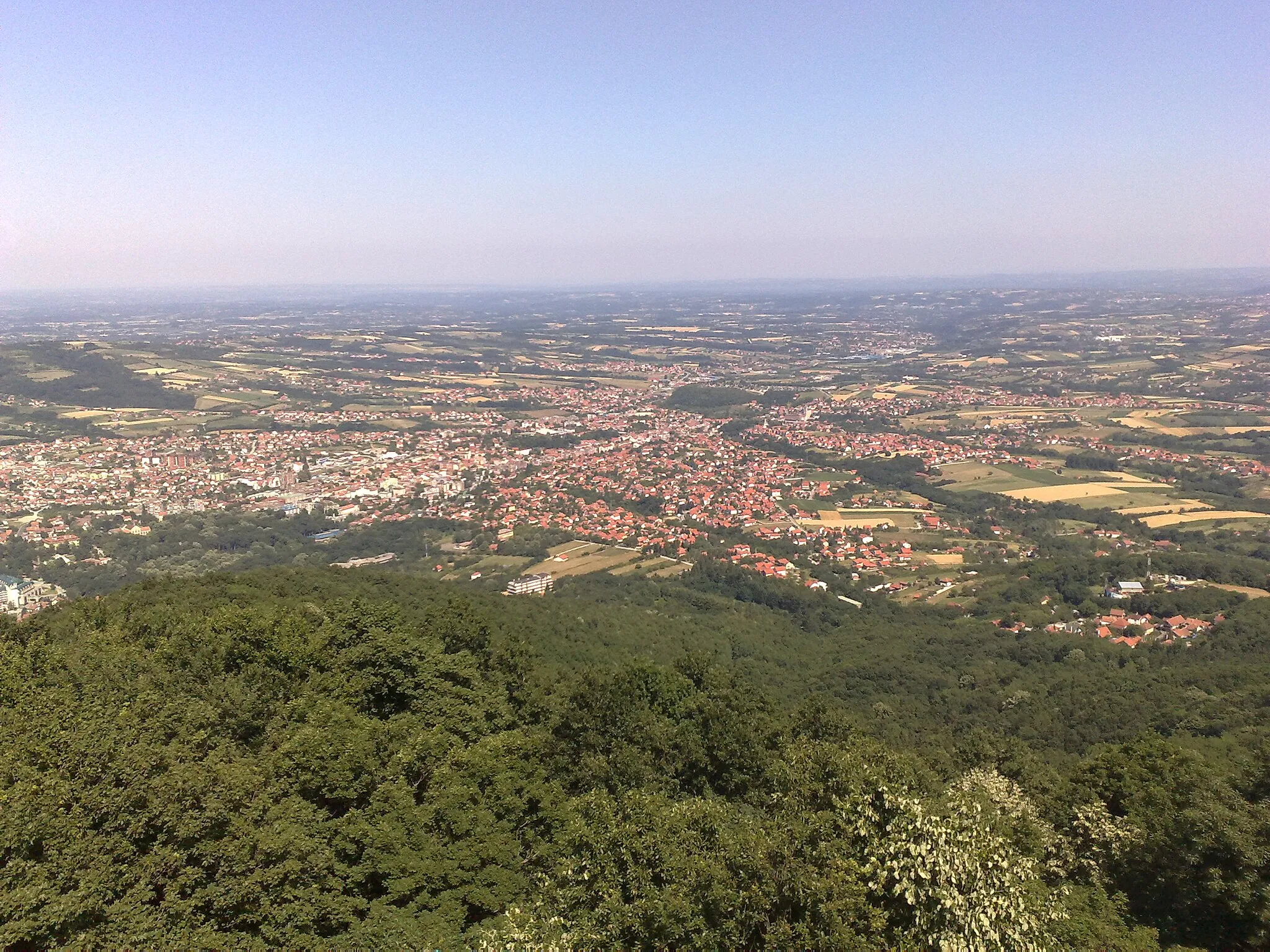
Bukulja696 mPeakBukulja, at 45 kilometers into the route, is a majestic mountain known for its captivating beauty and panoramic views of Šumadija's countryside.
50 km
50 km
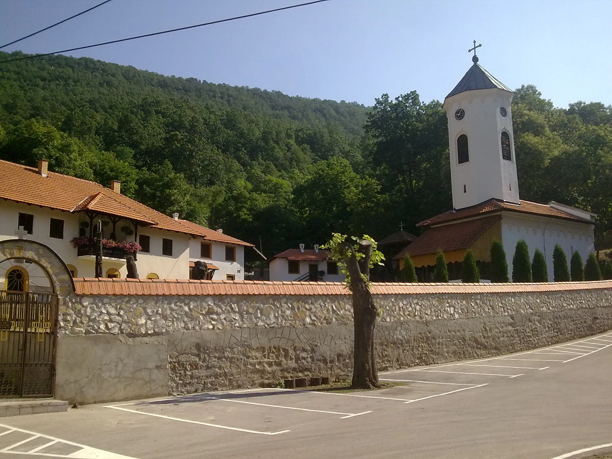
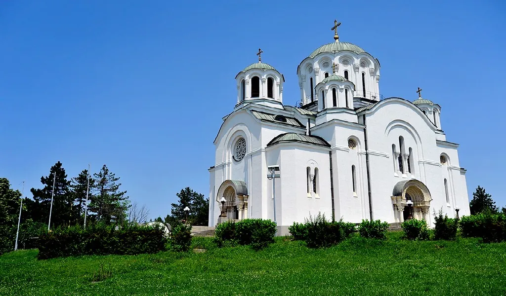
ArandjelovacTownArandjelovac, at 50 kilometers into the route, is a popular tourist destination known for its mineral springs and lush green parks.
67 km
67 km
Donja SatornjaVillageDonja Satornja, situated at 67 kilometers into the route, is a charming village with traditional houses and stunning views of the surrounding landscapes.
85 km
85 km
RamacaVillageRamaca, around 85 kilometers into the route, is a small village with picturesque views of the countryside and traditional Serbian architecture.
97 km
97 km
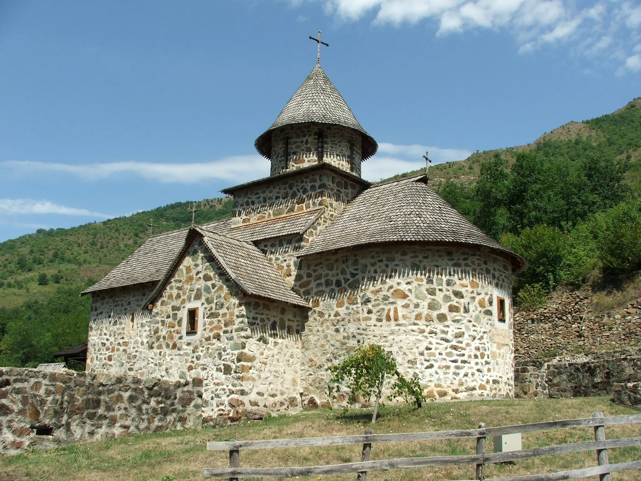
VracevsnicaVillageVracevsnica, at 97 kilometers into the route, is a small village known for its beautiful scenery and panoramic views of the mountains.
108 km
108 km
Велики врх Грабовачки Рилова плоча692 mPeakAt 108 kilometers into the route, the climb to Veliki Vrh Grabovacki Rilova Placa offers a challenging ascent with rewarding panoramic views.
113 km
113 km
Finish: Горњи Милановац City centerGornji Milanovac: Cyclist's paradise with diverse terrains and cultural landmarks in Serbia.
Cycling routes from Gornji Milanovac:
Vracevsnica Loop Vracevsnica and Boracki Krsh Road Cycling Route Vracevsnica and Boracki Krsh Epic Cycling Route Vranici and Pranjani Road Cycling Route Galich and Takovska Glava Road Cycling Route Sarani and Struganik Road Cycling Route The Copper Route Gornji Milanovac and Surroundings Preljina Loop Arandjelovac Ridge Route
Cycling routes nearby: