Kysuce Tour
A road cycling route starting from Cierne
A breathtaking journey through the scenic Kysuce region
Map
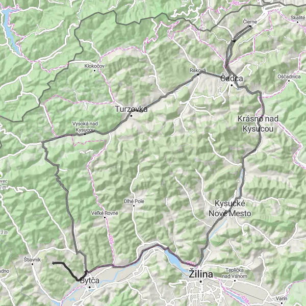
Embark on a thrilling tour through the picturesque Kysuce region of Slovakia. As you cycle through this beautiful area, you will encounter stunning lookout points, charming towns, and towering mountains. With a total distance of 118 km and an elevation gain of 874 m, this road cycling route is suitable for well-trained amateur cyclists. The route will take you past highlights such as Rozhľadňa u Jantov, Krásno nad Kysucou, and Bytča, offering panoramic views and cultural experiences along the way.
road
118 km
874 m
Tough
Route profile
Highlights on the route
0 km
0 km
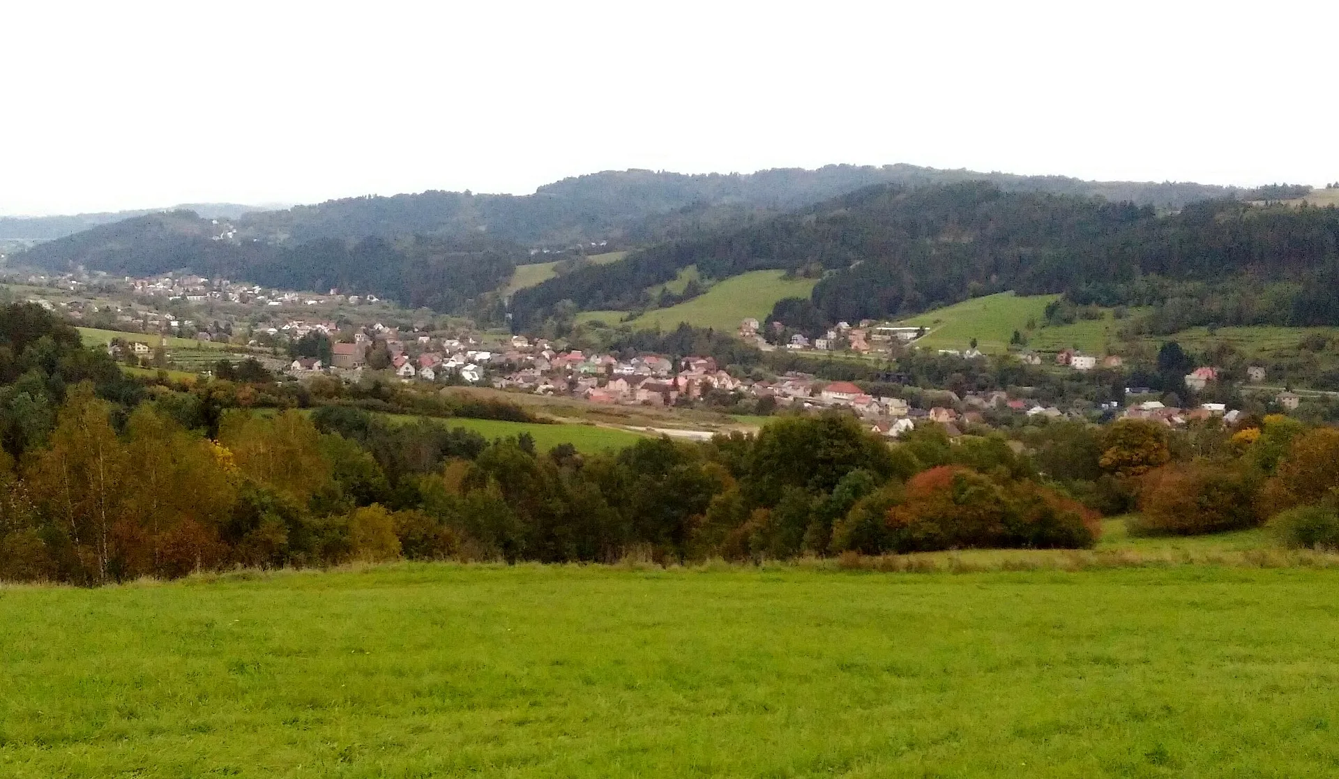
Start: Čierne Village centerČierne: Tranquil countryside suitable for leisurely rides.
Čierne in Stredné Slovensko, Slovakia, offers a moderately interesting terrain for road and gravel cyclists. While there may not be any famous cycling-related spots or well-known climbs in the immediate vicinity, the locality is surrounded by charming countryside, making it suitable for leisurely rides. Cyclists can explore the tranquil roads and enjoy the scenic views of the region. With its peaceful atmosphere and pleasant landscapes, Čierne is a decent destination for cyclists looking for a relaxed ride.16 km
16 km
Rozhľadňa u JantovViewpointRozhľadňa u Jantov offers panoramic views of the surrounding countryside.
16 km
16 km
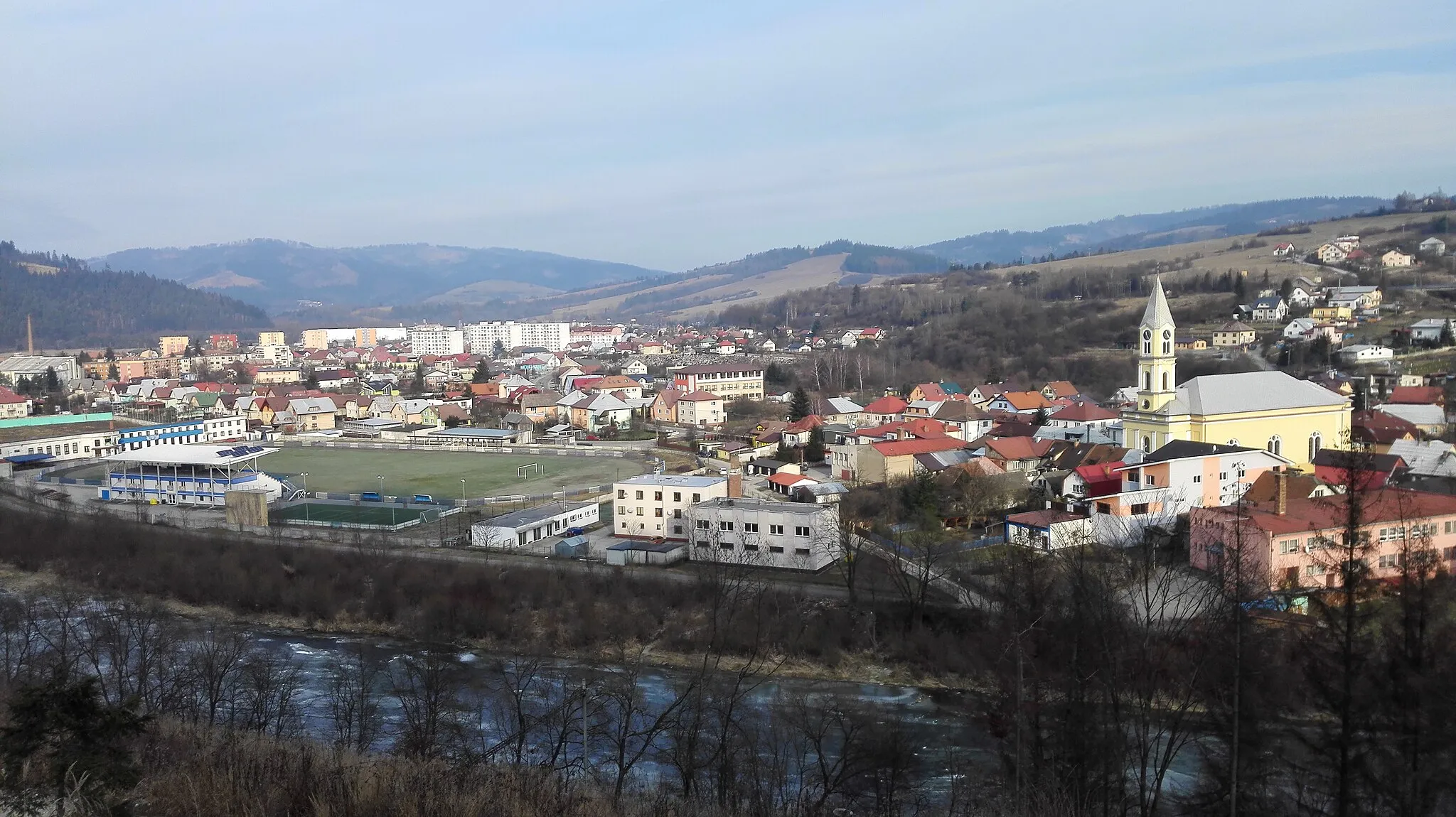
Krásno nad KysucouTownKrásno nad Kysucou is a charming town with beautiful architecture and rich history.
28 km
28 km
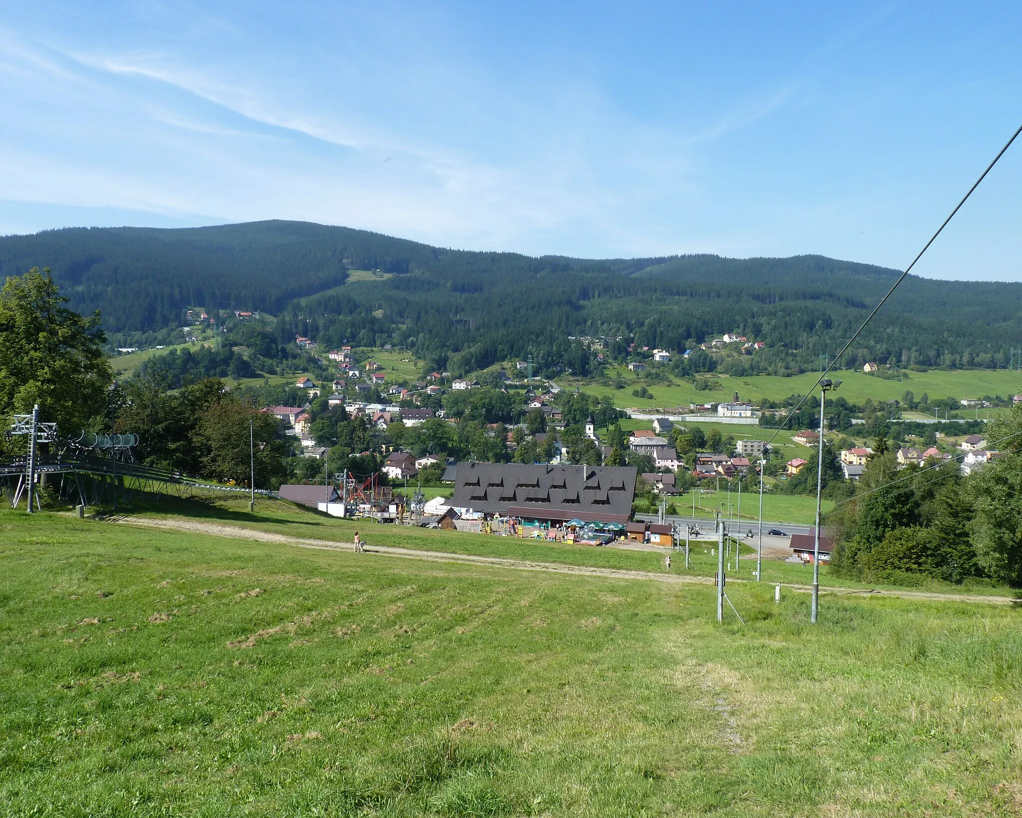
Kysucké Nové MestoTownKysucké Nové Mesto is a thriving town located in the heart of the Kysuce region.
38 km
38 km
Hora626 mPeakEnjoy breathtaking views from Hora, the highest point on the route.
49 km
49 km
KotešováVillageKotešová is a peaceful village known for its traditional wooden houses.
51 km
51 km
Prašnice431 mPeakPrašnice is a small village with a fascinating history and beautiful natural surroundings.
64 km
64 km
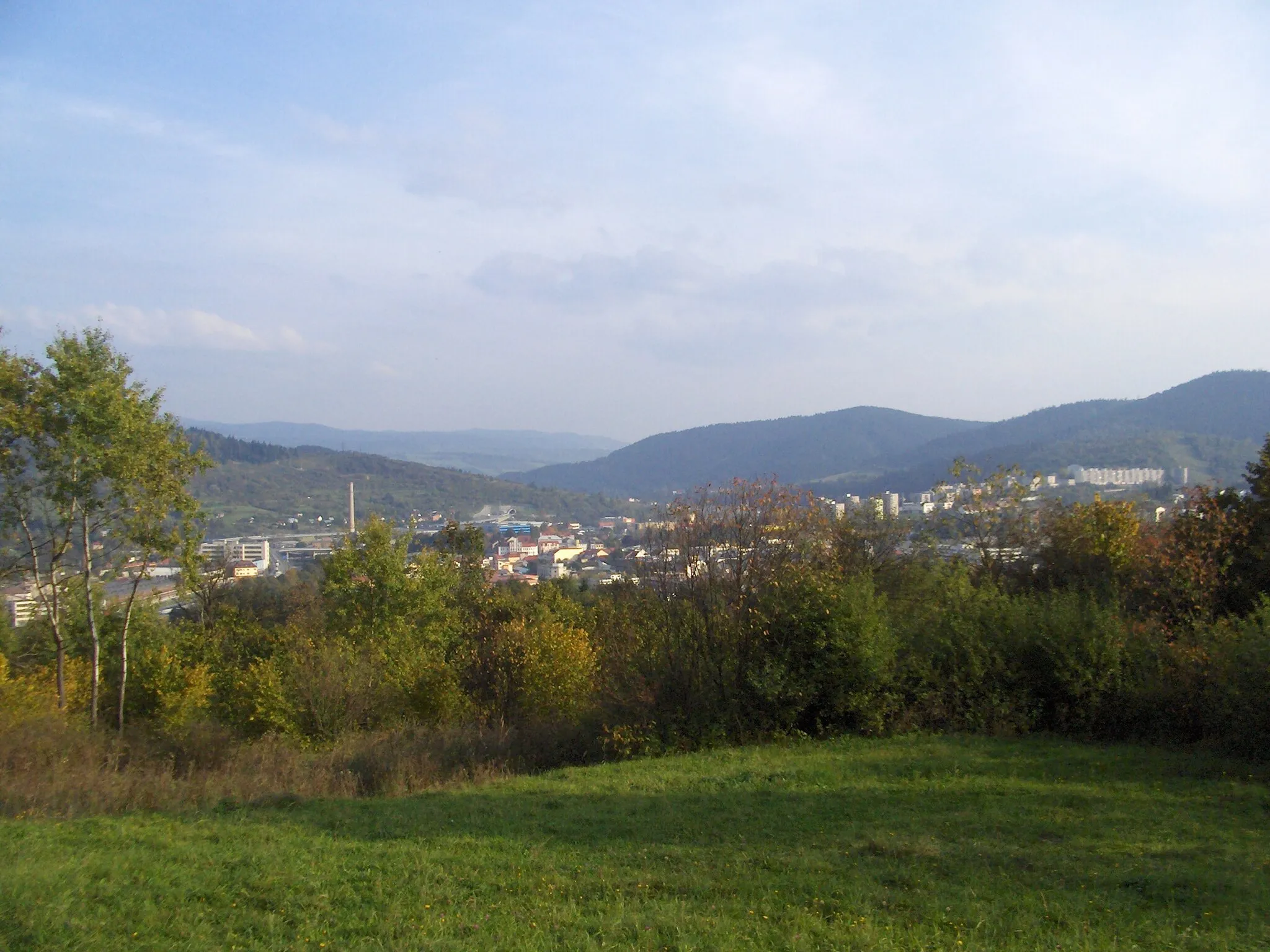
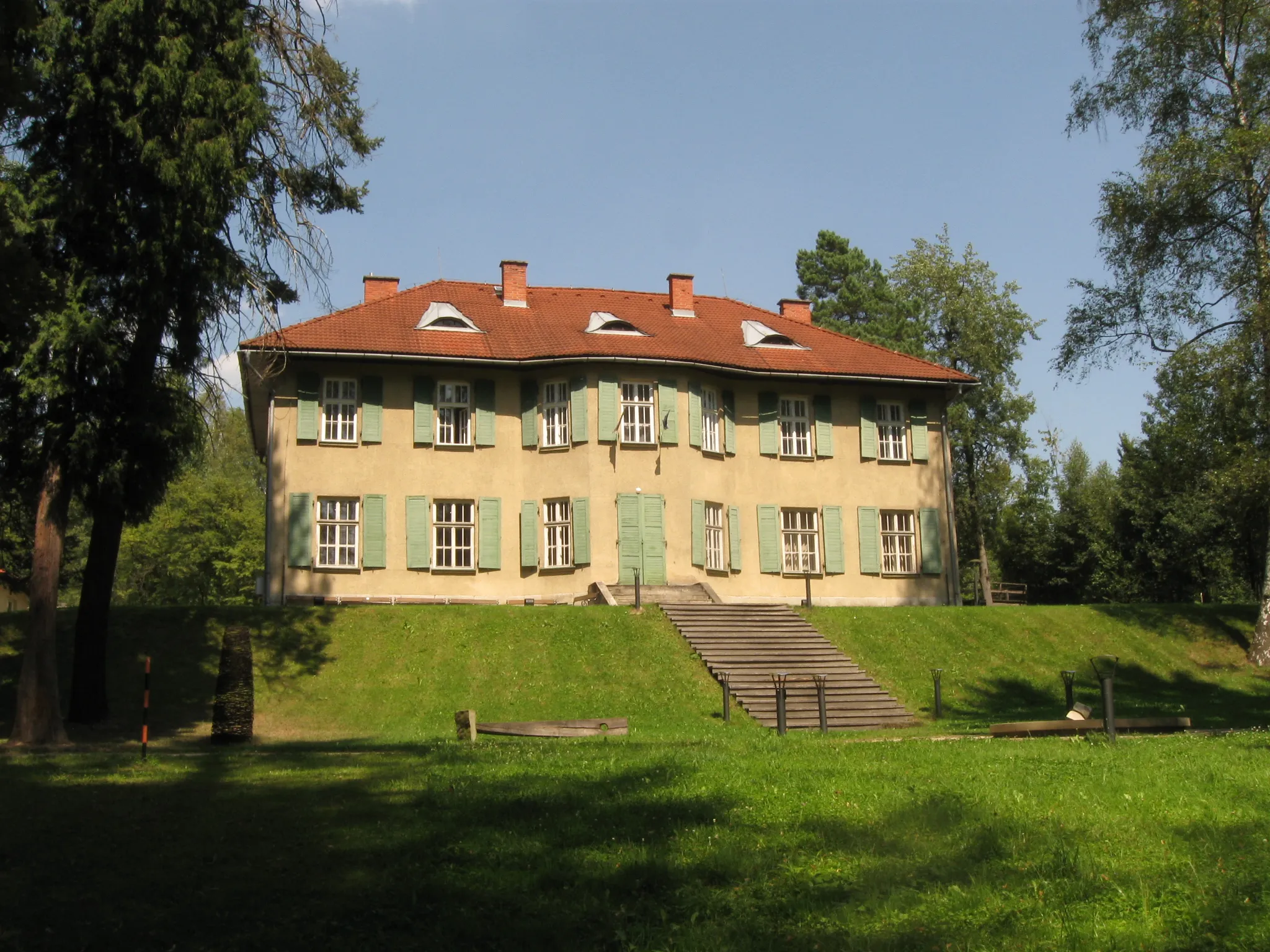
BytčaTownBytča is a historic town with a medieval castle and interesting architecture.
67 km
67 km
Benková483 mPeakBenková is a charming village with traditional wooden houses and stunning mountain views.
81 km
81 km
Vrchtretina925 mPeakVrchtretina is a popular hiking spot with breathtaking views over the surrounding peaks.
89 km
89 km
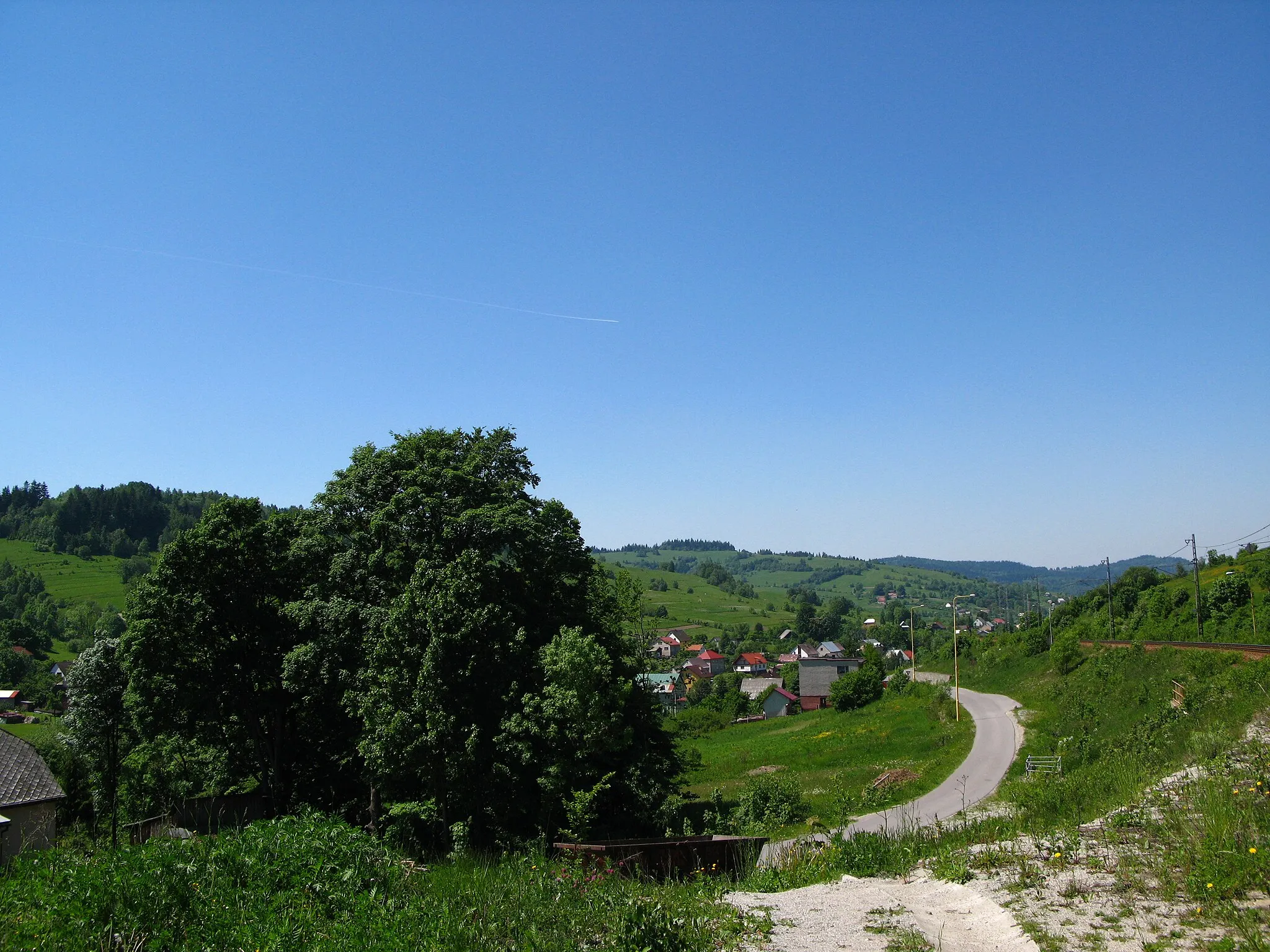
Vysoká nad KysucouVillageVysoká nad Kysucou is a quaint hamlet nestled in the picturesque Kysuce Valley.
106 km
106 km
Tokáreň540 mPeakTokáreň is a small village known for its traditional craftmanship and artisanal products.
117 km
117 km
Pavlackov grúň552 mPeakPavlackov grúň offers magnificent views of the Kysucu and Javorníky mountain ranges.
118 km
118 km
Finish: Čierne Village centerČierne: Tranquil countryside suitable for leisurely rides.
Cycling routes nearby: