Challenging Road Cycling Route to Kochlačka
A road cycling route starting from Detva
Thrilling road cycling route to Kochlačka peak
Map
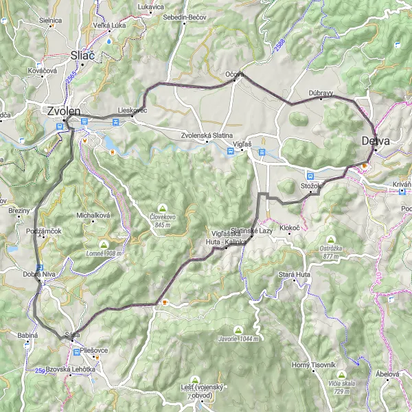
Embark on a challenging road cycling adventure from Detva to Kochlačka. With an ascent of 886 m and a distance of 76 km, this route is suitable for experienced cyclists seeking an adrenaline rush. Highlights along the way include Horné Chvojno (8 km), a picturesque village with beautiful countryside views. Enjoy the tranquility of Slatinské Lazy (14 km), a peaceful area surrounded by nature. Conquer the ascent to Sása (30 km) and be rewarded with breathtaking panoramas. Ride past the captivating ruins of Kozí hrb (33 km) and discover the historical significance of Mýtna (41 km). Finally, reach the summit of Kochlačka (74 km), where you can take in the stunning views of the surrounding landscapes.
road
76 km
886 m
Savage
Route profile
Highlights on the route
0 km
0 km
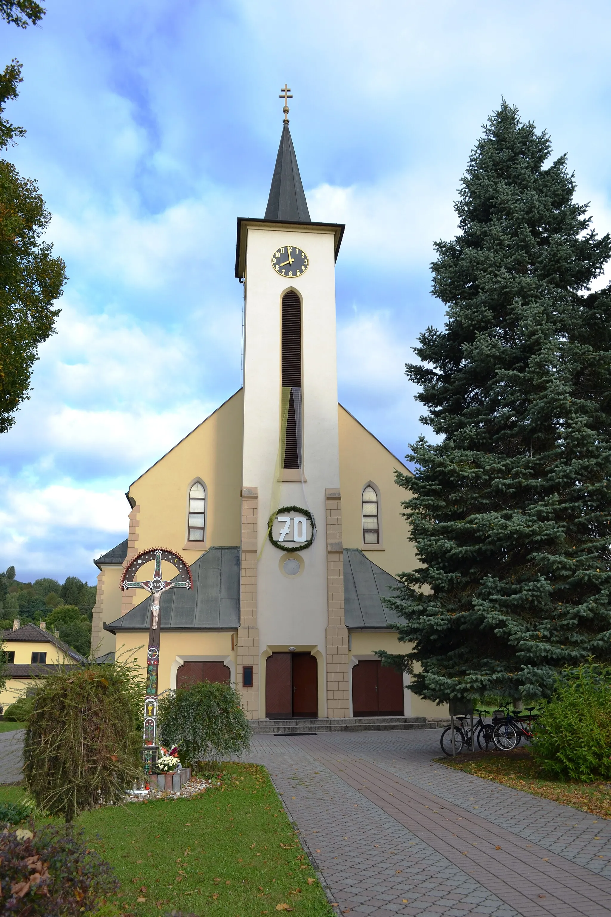
Start: Detva City centerDetva: Moderate cycling opportunities surrounded by picturesque landscapes in Detva.
Detva is a town situated in Stredné Slovensko, Slovakia. As a road and gravel cyclist, you can expect moderate cycling opportunities in the area. The local roads are well-paved and offer a mix of flat sections and gentle climbs. Detva is not widely recognized for any famous cycling spots or renowned climbs nearby. However, the surrounding countryside provides beautiful scenery, making it a pleasant location for leisurely rides. Cyclists visiting Detva can also explore nearby towns and villages for additional sightseeing and cultural experiences.8 km
8 km
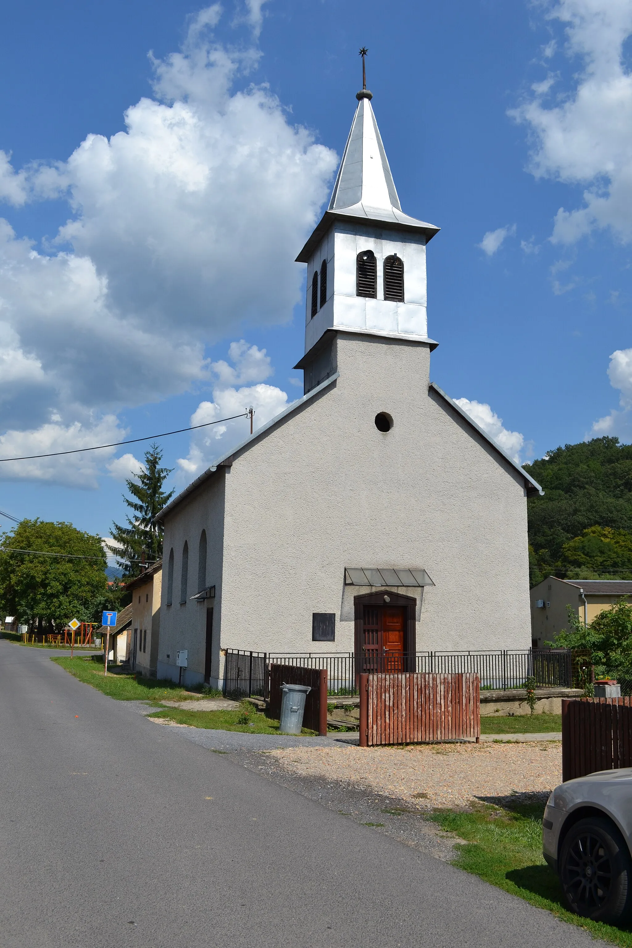
Horné Chvojno606 mPeakHorné Chvojno offers picturesque views of the countryside.
14 km
14 km
Slatinské LazyVillageSlatinské Lazy is a tranquil area surrounded by nature.
30 km
30 km
SásaVillageSása rewards cyclists with breathtaking panoramic vistas.
33 km
33 km
Kozí hrb418 mPeakKozí hrb features captivating ruins with a rich history.
41 km
41 km
Mýtna402 mPeakMýtna is a place of historical significance worth exploring.
74 km
74 km
Kochlačka625 mPeakKochlačka offers stunning panoramic views from its summit.
76 km
76 km
Finish: Detva City centerDetva: Moderate cycling opportunities surrounded by picturesque landscapes in Detva.
Cycling routes from Detva:
Gravel Through Detva Challenging Road Cycling Route to Kochlačka The Ultimate Stredné Slovensko Road Cycling Challenge Scenic Road Cycling through Stredné Slovensko Detvianska brána Loop Detva and Jaseňovo Gravel Loop Rohy and Horné Chvojno Road Loop Zvolenská Slatina and Banská Bystrica Road Loop Gravel Adventure to Hlinisko Surovina and Javor Gravel Loop
Cycling routes nearby: