Podolínec Gravel Adventure
A gravel cycling route starting from Podolinec
Explore the scenic gravel roads near Podolínec
Map
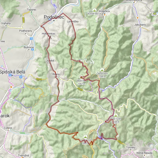
Embark on a thrilling gravel adventure near Podolínec and experience the breathtaking beauty of the surrounding countryside. With a total ascent of 1356m and a distance of 66km, this route offers a challenging yet rewarding ride. Enjoy stunning panoramic views as you pass through Osí vrch, Ihľany, Mokré pole, Holý vrch, Tok, and Ihla. The route is suitable for gravel bikes and provides a unique opportunity to discover lesser-known highlights of the region.
gravel
66 km
1356 m
Tough
Route profile
Highlights on the route
0 km
0 km
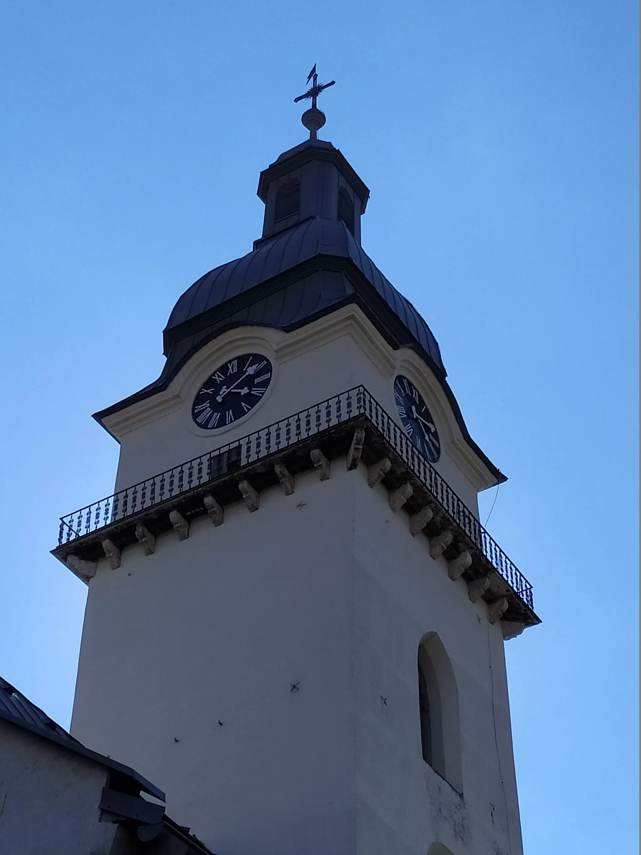
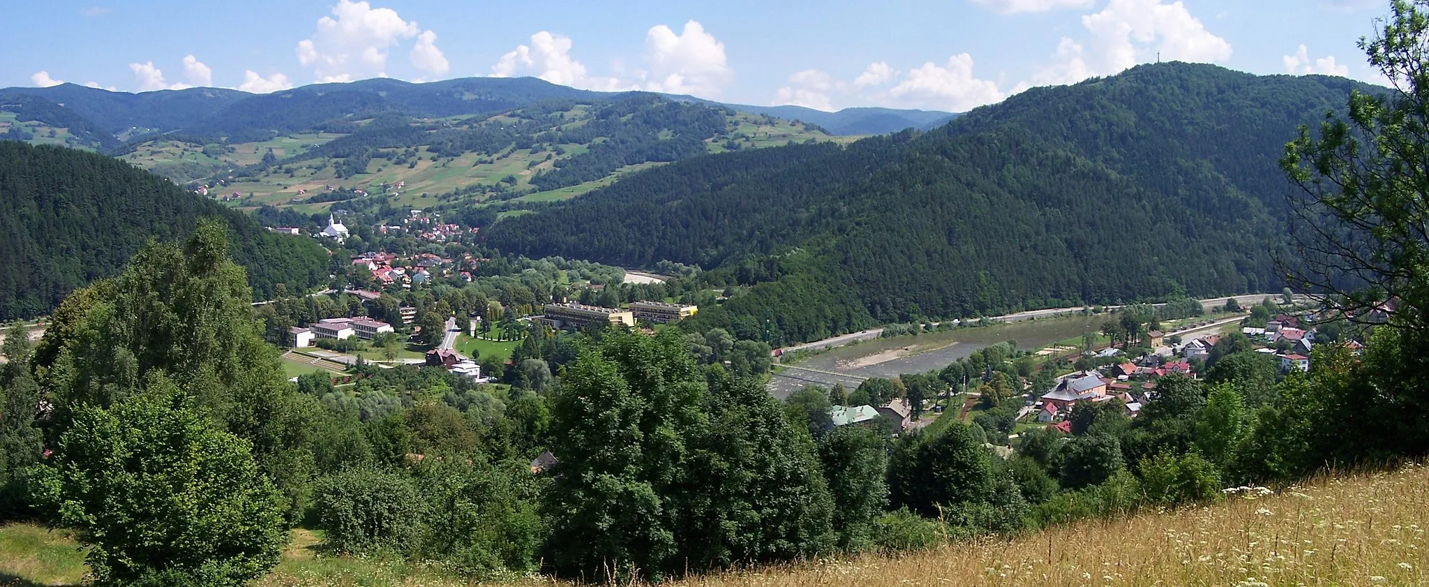
Start: Podolínec City centerPodolínec: Quiet cycling in a historic town
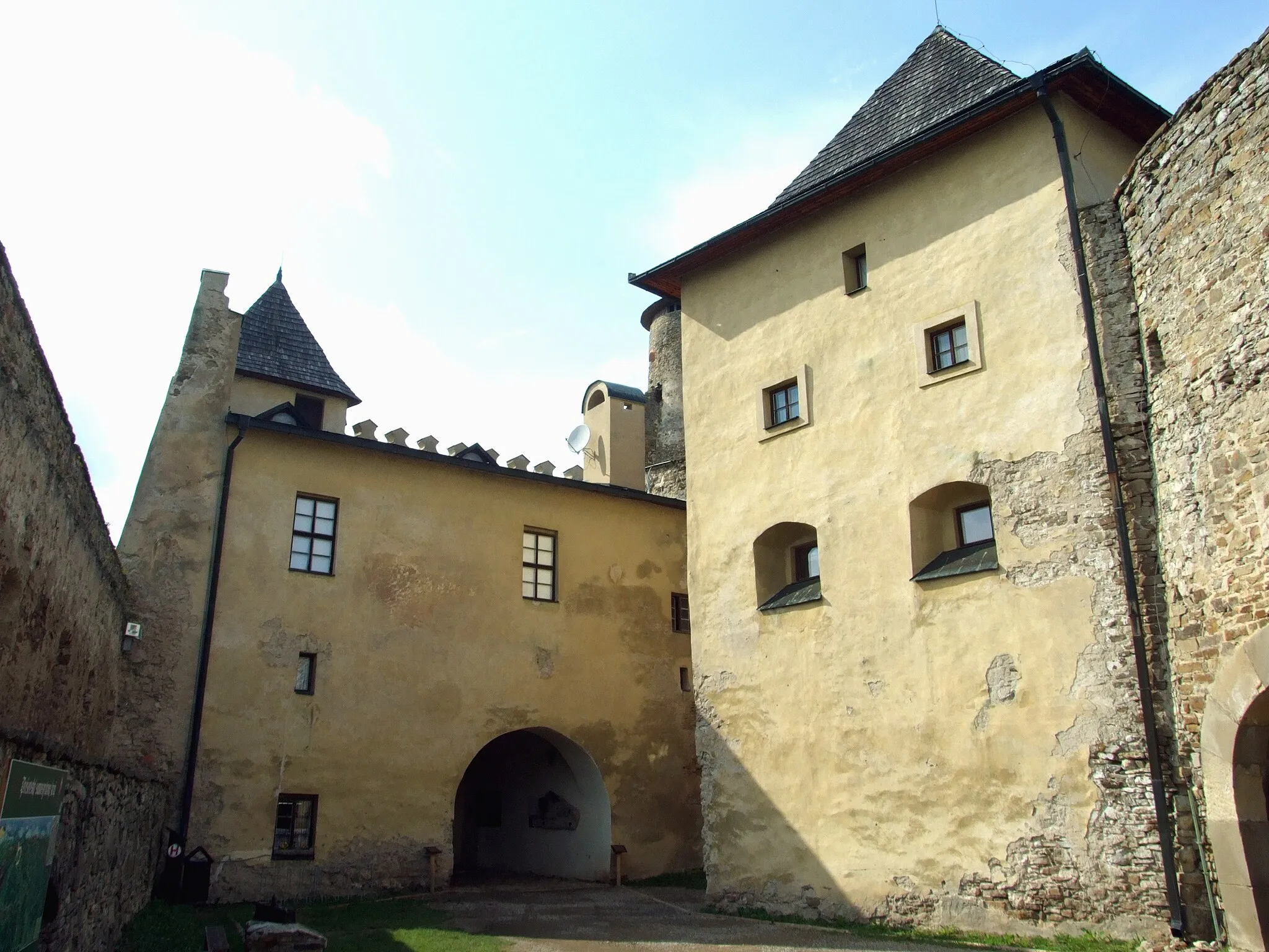
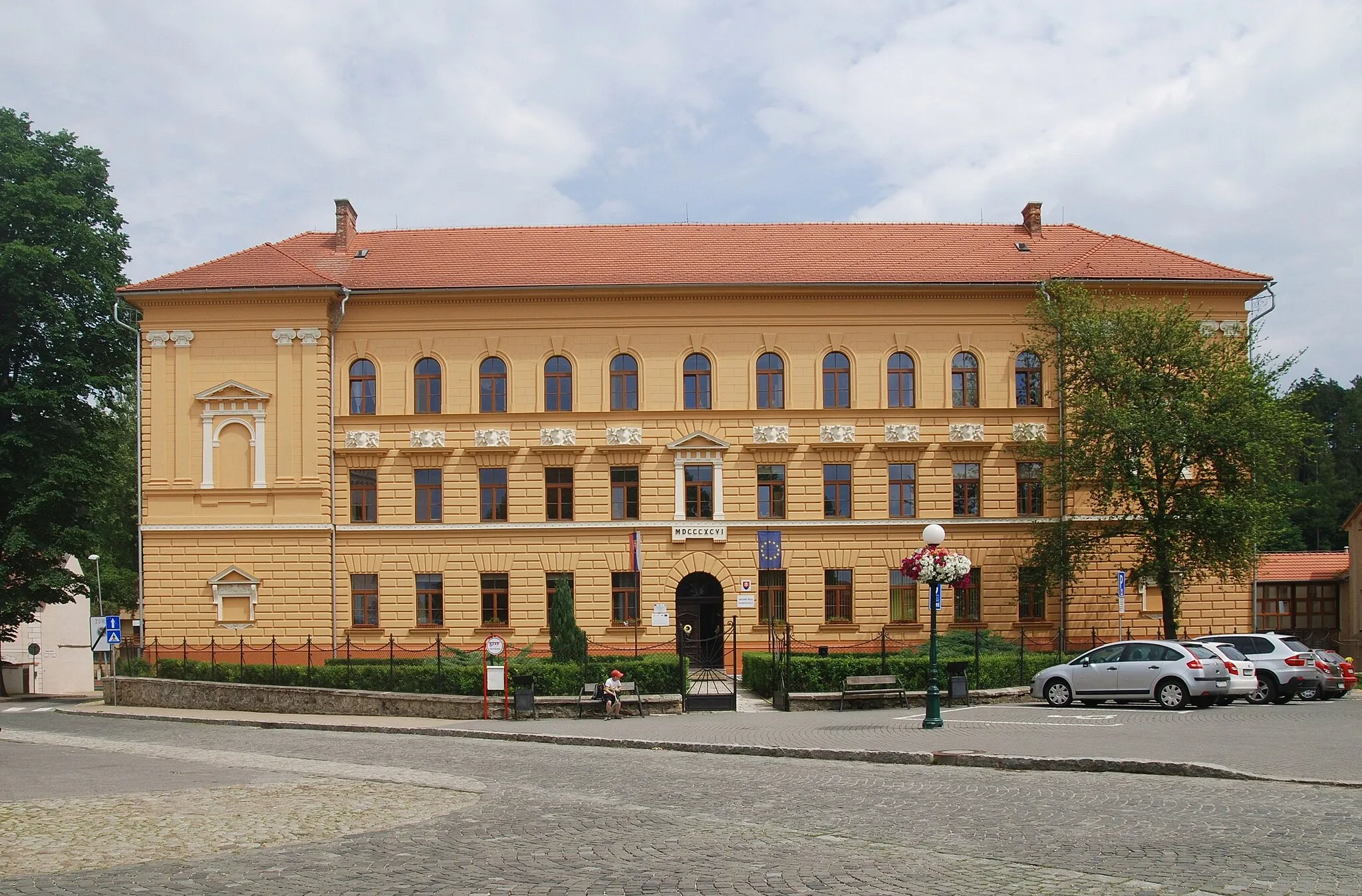
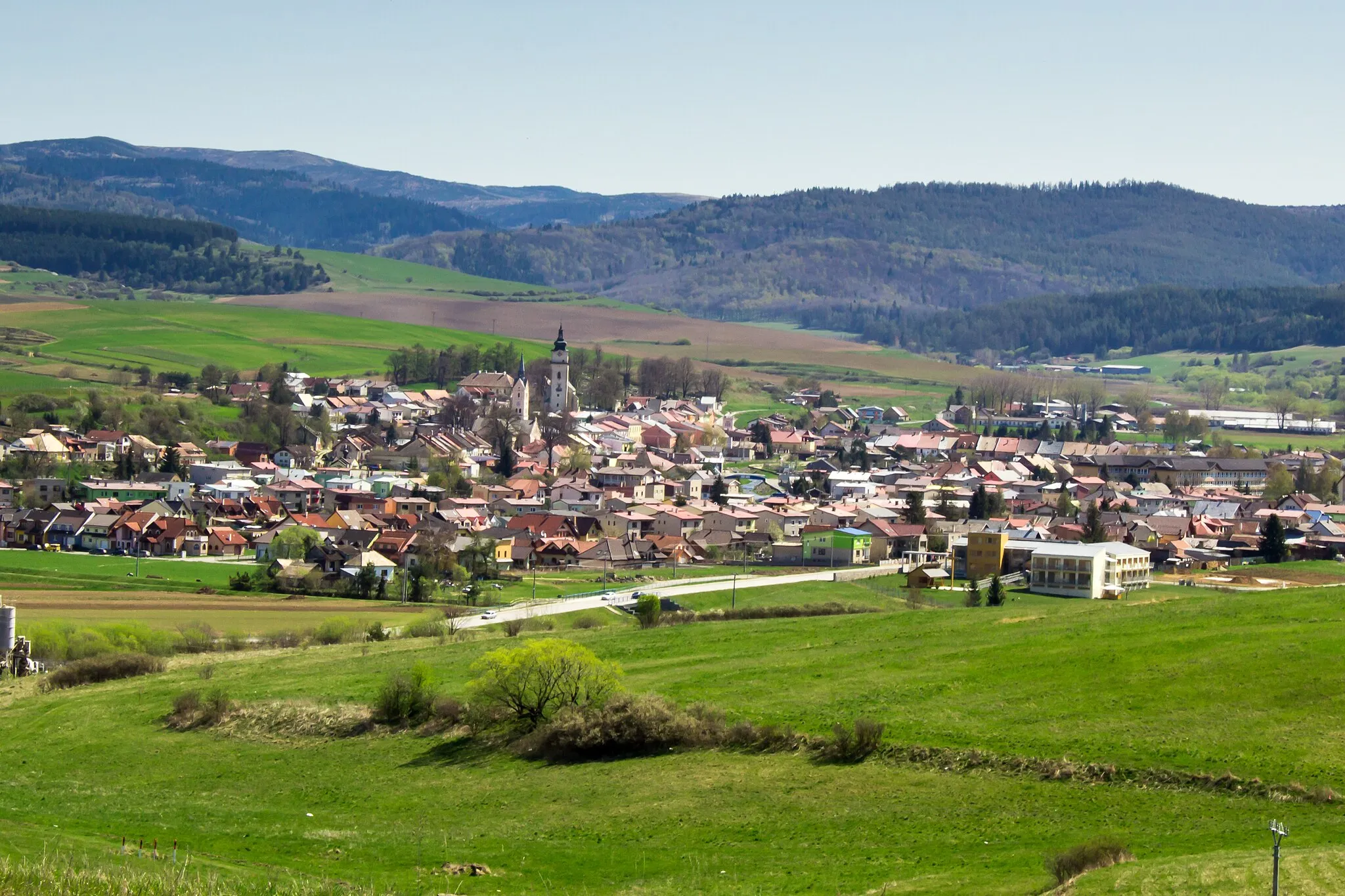
Podolínec is a small town located in Východné Slovensko, Slovakia. From a cyclist's perspective, Podolínec offers some pleasant road and gravel cycling routes in the surrounding countryside. The terrain is relatively flat and there aren't any famous climbs nearby, but the quiet roads and peaceful atmosphere make it a good area for leisurely rides. Podolínec also has some historical and cultural attractions to explore, such as its well-preserved medieval town center. Overall, Podolínec is a suitable locality for cyclists looking for a relaxed cycling experience.0 km
0 km
PodolínecTownPodolínec: Start your journey in this picturesque town, known for its charming architecture and rich history.
1 km
1 km
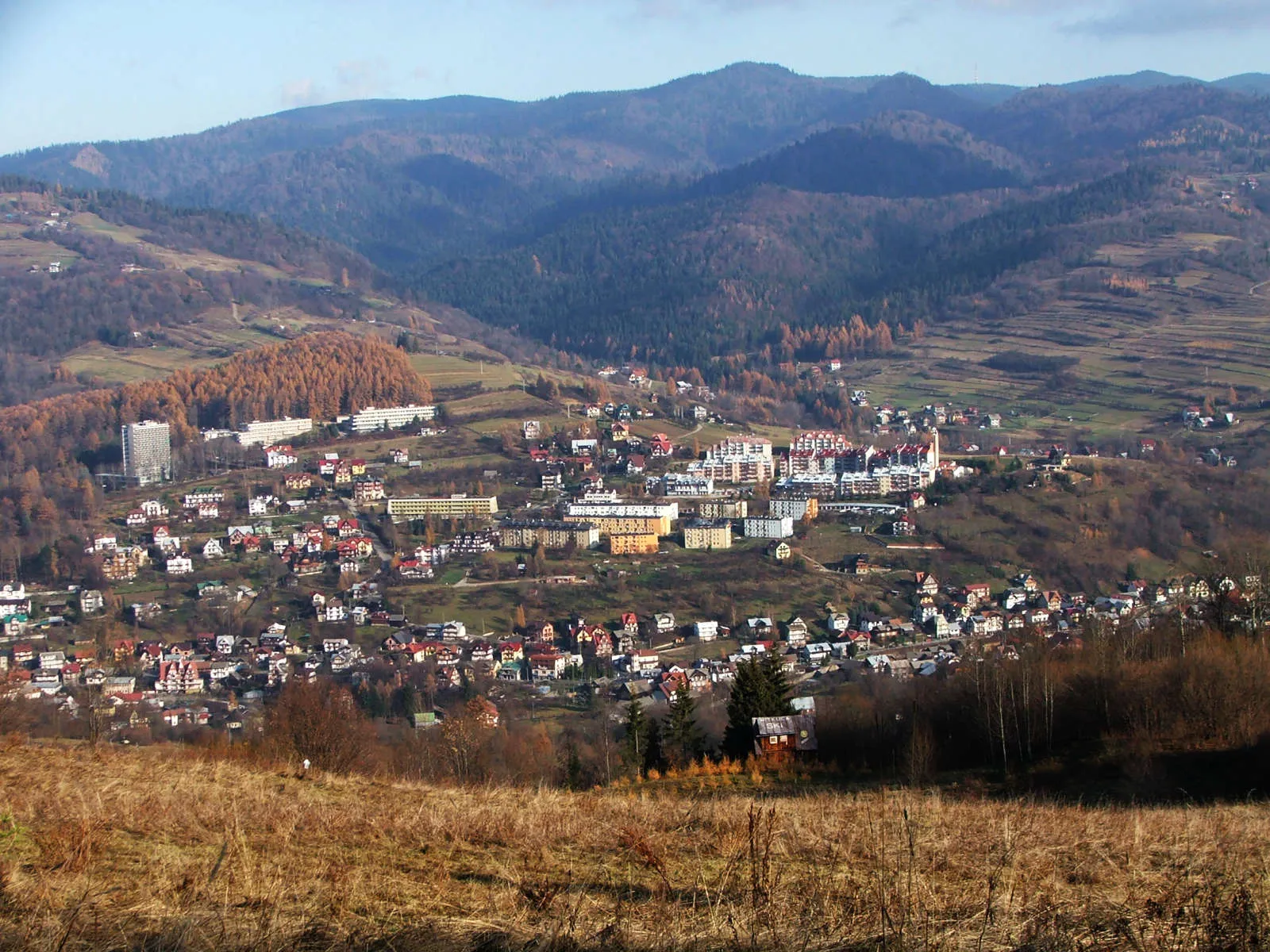
Osí vrch685 mPeakOsí vrch: Climb up to this elevated location and enjoy the breathtaking views of the surrounding landscapes.
10 km
10 km
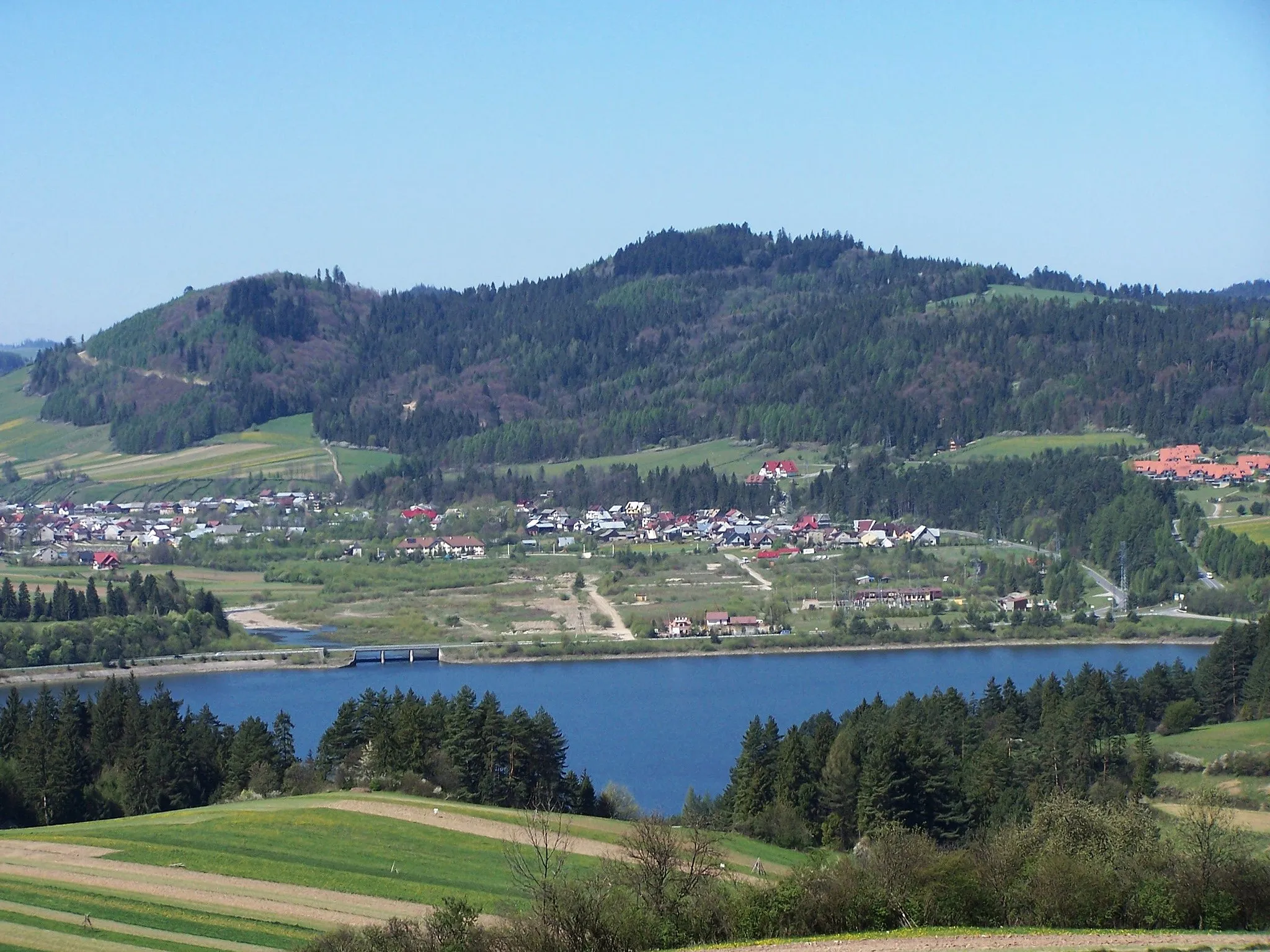
IhľanyVillageIhľany: Cycle through the scenic village of Ihľany, known for its preserved wooden houses and traditional atmosphere.
15 km
15 km
Mokré pole804 mPeakMokré pole: Pass through this wetland area, which is home to diverse flora and fauna.
26 km
26 km
Holý vrch1067 mPeakHolý vrch: Marvel at the unique rock formations of Holý vrch, an interesting geological landmark along the route.
40 km
40 km
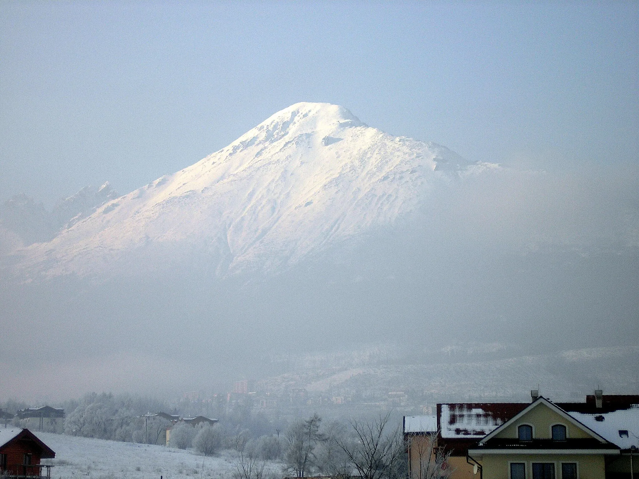
Tok1227 mPeakTok: Discover the charming village of Tok and its historic landmarks, including the Church of the Holy Cross.
52 km
52 km
Ihla1283 mPeakIhla: Visit the village of Ihla and explore its rich cultural heritage, including the impressive Church of St. Michael.
66 km
66 km
Finish: Podolínec City centerPodolínec: Quiet cycling in a historic town
Cycling routes nearby: