Landríky Circuit
A road cycling route starting from Smolenice
A scenic road cycling route with diverse highlights
Map
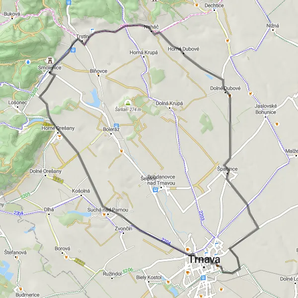
The Landríky Circuit is a picturesque road cycling route starting near Smolenice that promises a diverse and enjoyable experience for cyclists. It showcases beautiful landscapes, historical landmarks, and charming villages along the way. With a manageable distance of 57 kilometers and a modest ascent of 242 meters, this route is suitable for cyclists of various fitness levels. It offers a great opportunity to explore the region's natural beauty, enjoy the tranquility, and learn about local history and culture.
road
57 km
242 m
Tough
Route profile
Highlights on the route
0 km
0 km
Start: Smolenice Village centerSmolenice: Scenic cycling and cultural exploration in Smolenice.
Smolenice, located in Western Slovakia, is an appealing locality for road and gravel cyclists. The region is characterized by rolling hills, vineyards, and picturesque landscapes, offering riders a mix of scenic routes and challenging climbs. Cycling through the Small Carpathian Mountains is a popular choice among cyclists visiting Smolenice, with the iconic Smolenice Castle adding a touch of history and charm to the experience. Overall, Smolenice is a great choice for cyclists who enjoy scenic rides, vineyard tours, and exploring cultural landmarks.7 km
7 km
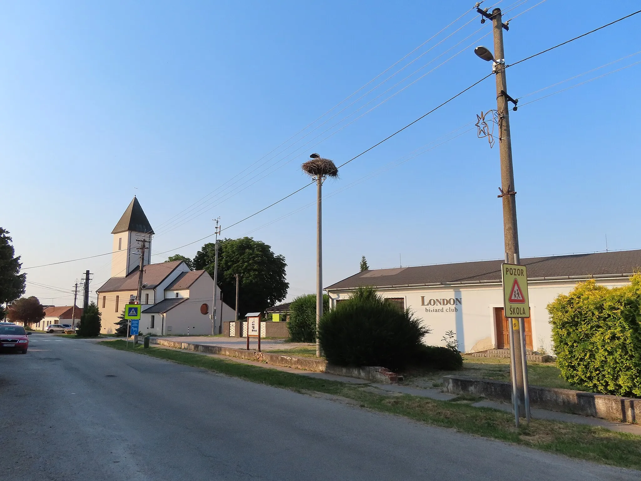
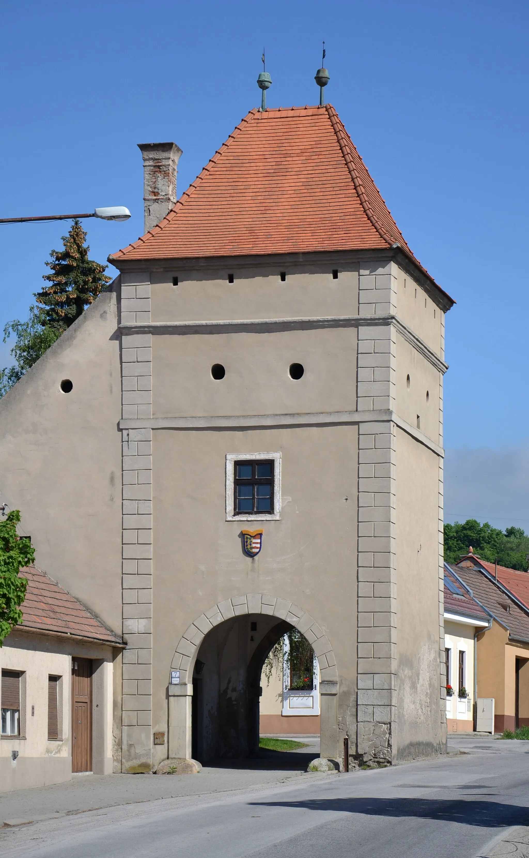
Landríky346 mPeakLocated 7 kilometers into the route, Landríky is a small village known for its picturesque surroundings and charming architecture. Take a moment to admire the traditional Slovakian houses and immerse yourself in the peaceful atmosphere.
9 km
9 km
NaháčVillageNaháč is a remarkable hill standing 9 kilometers into the route. Offering breathtaking panoramic views, it is a fantastic spot to take a break, watch the sunset, and capture stunning photographs of the surrounding landscape.
23 km
23 km
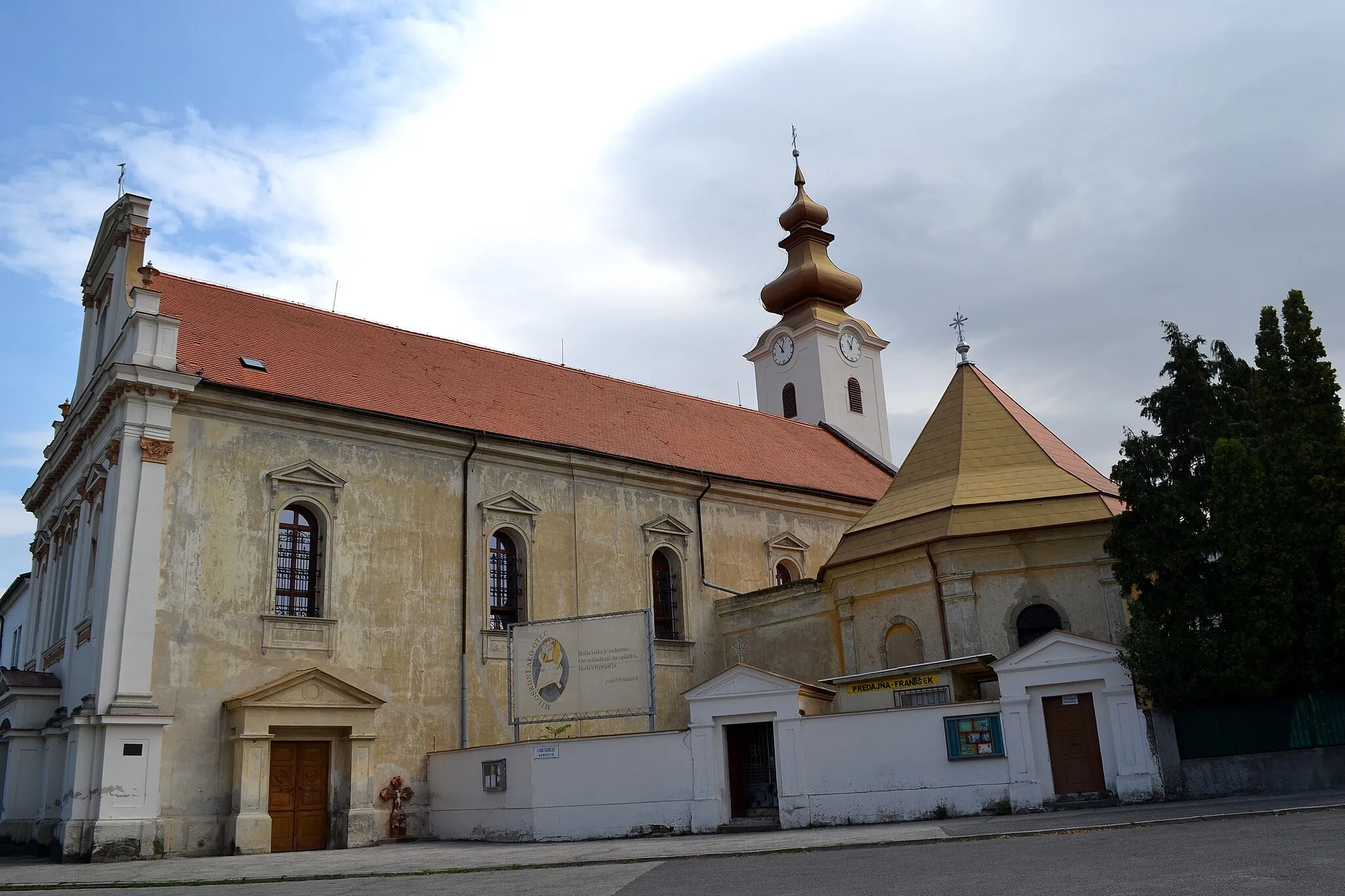
ŠpačinceVillageŠpačince is a charming village located 23 kilometers into the route. Known for its well-preserved traditional buildings, including historic farmhouses, it offers a glimpse into local rural life and architecture.
36 km
36 km
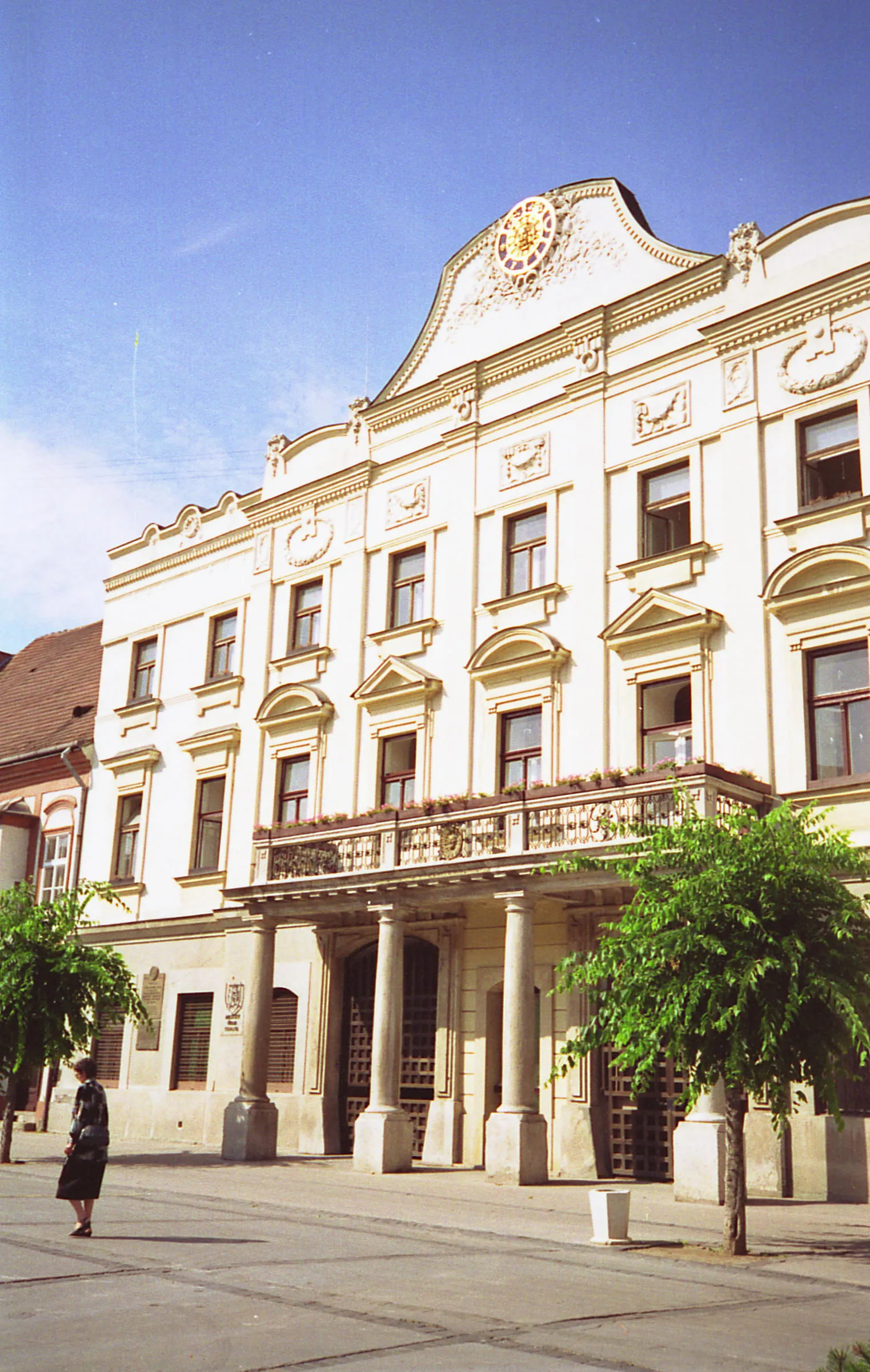
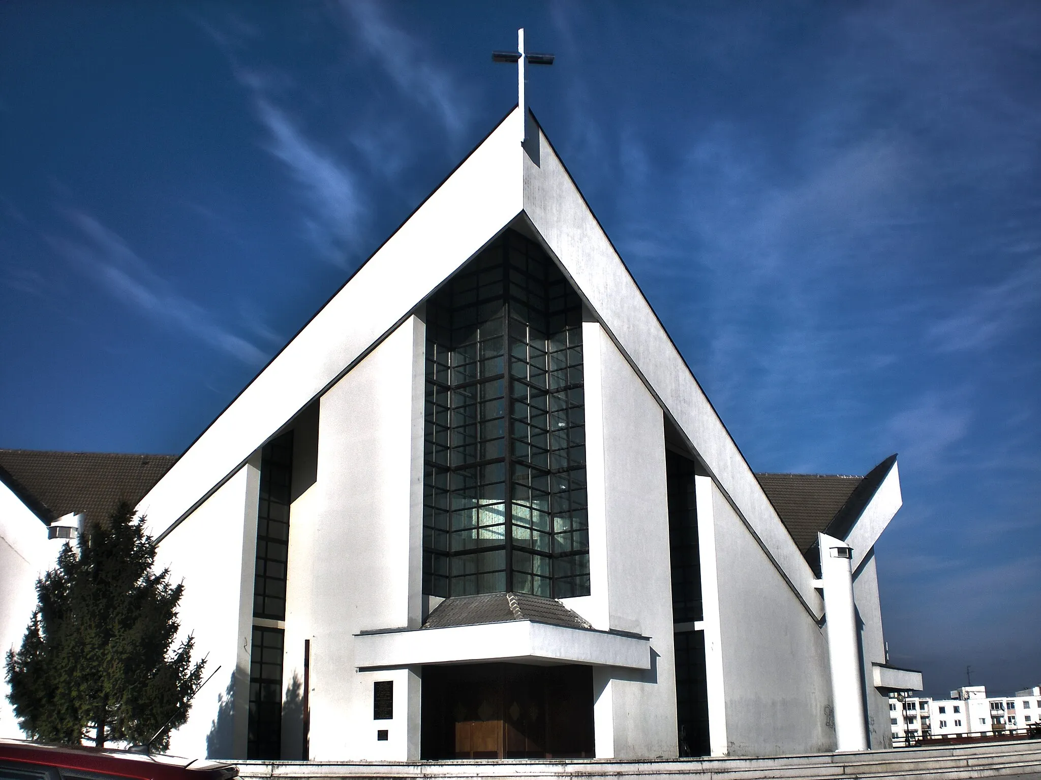
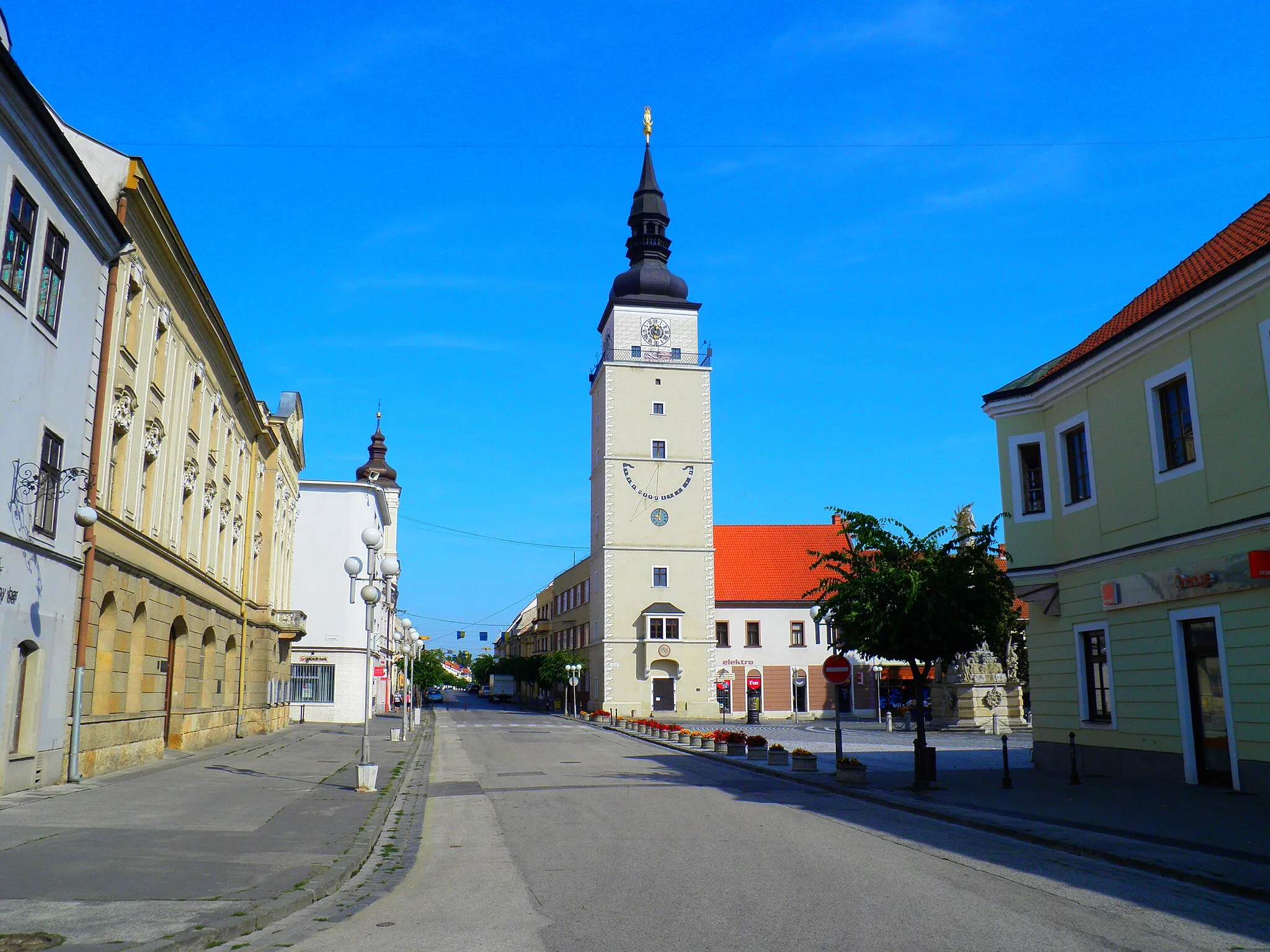
TrnavaCityTrnava, situated 36 kilometers into the route, is a medieval town steeped in history. Marvel at its architectural gems, such as the City Tower and churches, and explore its lively streets filled with quaint cafes and shops.
36 km
36 km
City TowerViewpointThe City Tower is the symbol of Trnava's rich history, standing tall at 36 kilometers into the route. Climb to the top for stunning views of the town and surrounding countryside, and learn about Trnava's fascinating past.
44 km
44 km
Suchá nad ParnouVillageSuchá nad Parnou, a village located 44 kilometers into the route, boasts a beautiful countryside setting and charming rural atmosphere. Take a moment to explore its picturesque streets and soak in the peaceful ambiance.
53 km
53 km
Všivavec256 mPeakVšivavec, situated 53 kilometers into the route, is known for its stunning natural landscapes. Surrounded by rolling hills and lush greenery, it offers a perfect spot for nature lovers to relax and enjoy the scenery.
57 km
57 km
Finish: Smolenice Village centerSmolenice: Scenic cycling and cultural exploration in Smolenice.
Cycling routes from Smolenice:
Landríky Circuit The Smolenice Castle Loop Gravel Adventure to Trnava Trstín Loop Smolenice and Surroundings Scenic Loop through Naháč and Dolné Dubové Strážovské Vrchy Adventure The Gravel Adventure The Gravel Adventure Trnava and Molpír Loop Smolenice Loop Road Cycling Route Scenic Gravel Tour from Smolenice
Cycling routes nearby: