The Gravel Adventure
A gravel cycling route starting from Zlate Moravce
Explore the beautiful Slovak countryside on this exciting gravel route.
Map
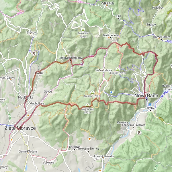
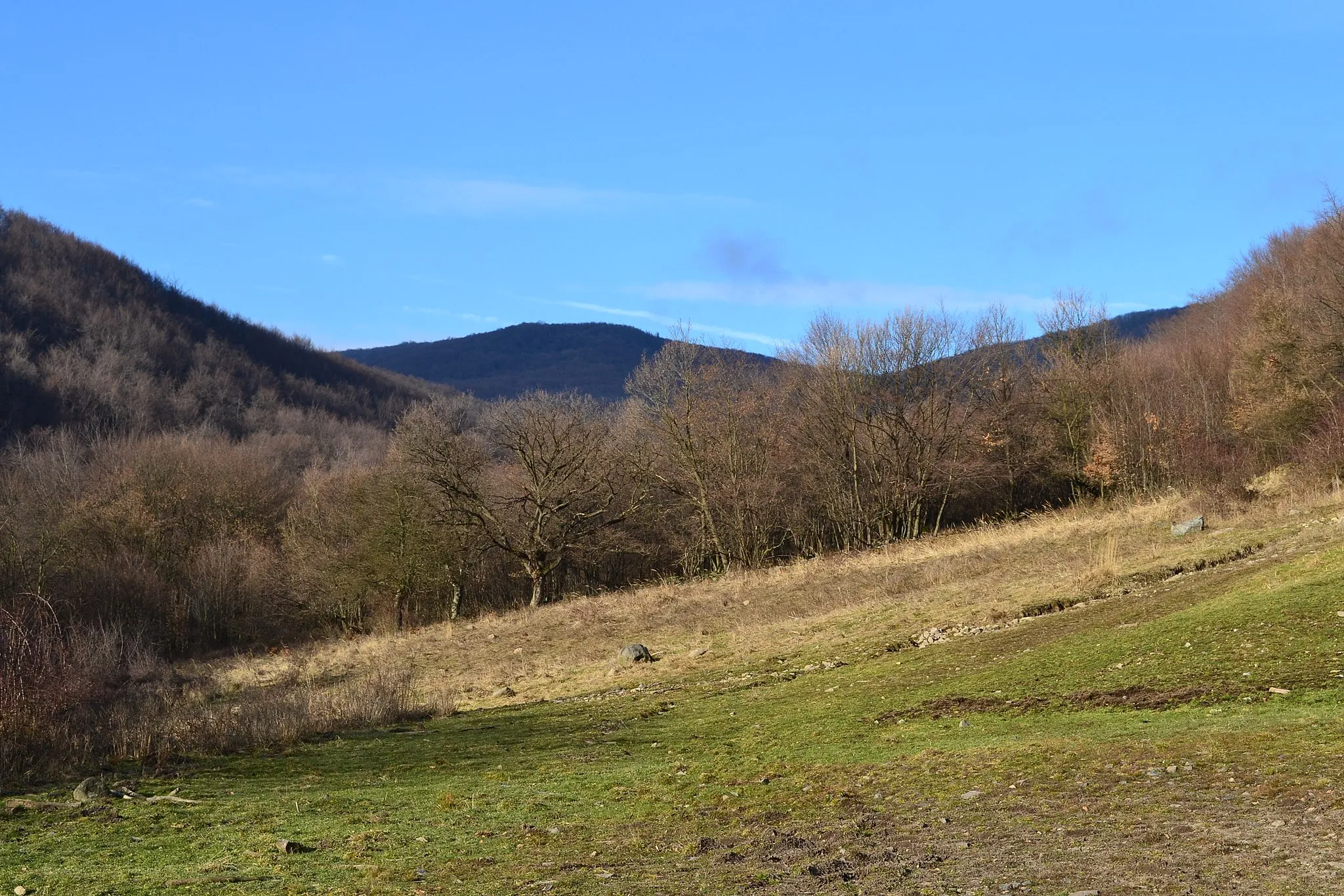
This 66km gravel route near Zlaté Moravce takes you through picturesque villages and stunning natural landscapes. With a total ascent of 1599m, this route is suitable for experienced cyclists looking for a challenging adventure. The highlights along the route include the charming village of Topoľčianky, the historical Doublecross monument in Jedľové Kostolany, the peaceful village of Vojšín, and the iconic Johan mountain. The route also passes through Nová Baňa, known for its rich mining history, and offers stunning views from the Veľký Inovec mountain. Overall, this route provides a unique and enjoyable cycling experience.
gravel
66 km
1599 m
Tough
Route profile
Highlights on the route
0 km
0 km
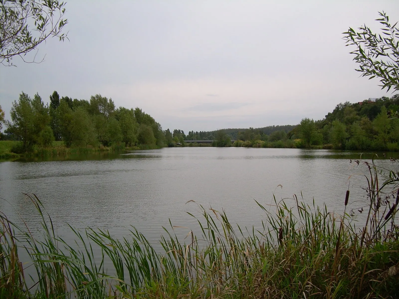
Start: Zlaté Moravce City centerZlaté Moravce: Tranquil locality with average cycling options in Západné Slovensko region.
Zlaté Moravce is a locality situated in the Západné Slovensko region of Slovakia. From a cyclist's perspective, Zlaté Moravce offers average cycling options. The area offers gentle rolling hills and open countryside, providing pleasant routes for road and gravel cycling. While there are no famous cycling-related spots or well-known climbs in the immediate vicinity, Zlaté Moravce's tranquil charm and scenic landscapes make it an enjoyable destination for leisurely bike rides.5 km
5 km
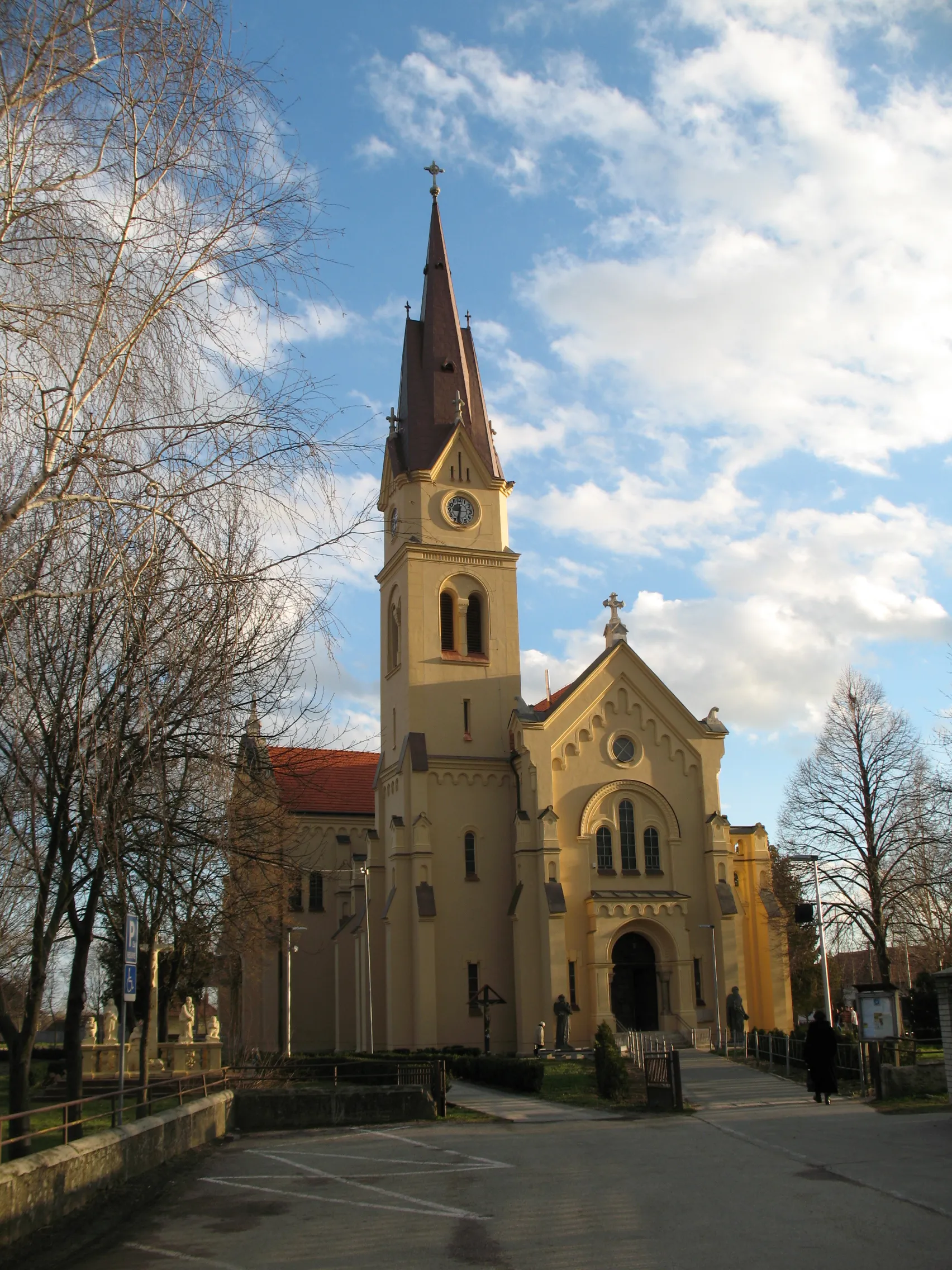
TopoľčiankyVillageTopoľčianky is a charming village with a historic castle and beautiful surrounding countryside.
14 km
14 km
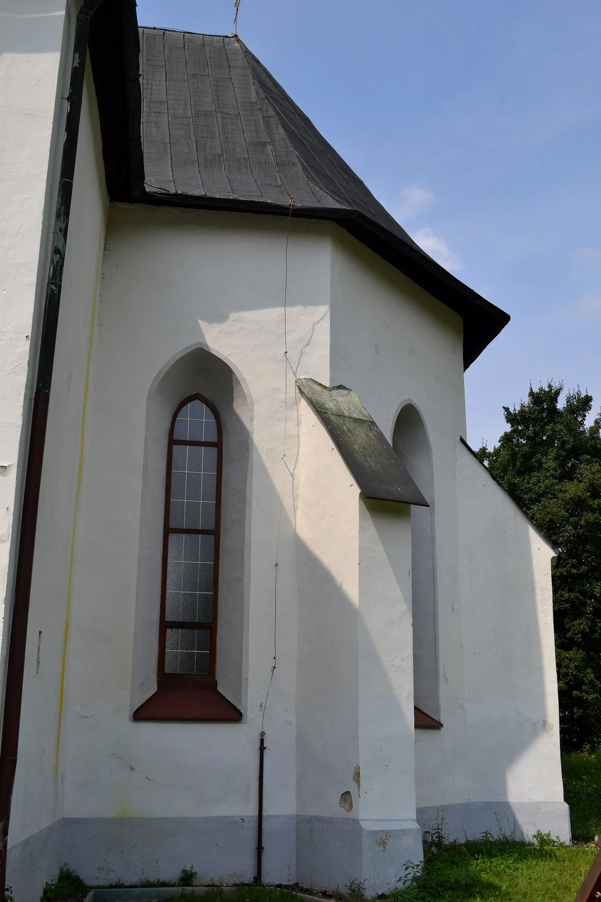
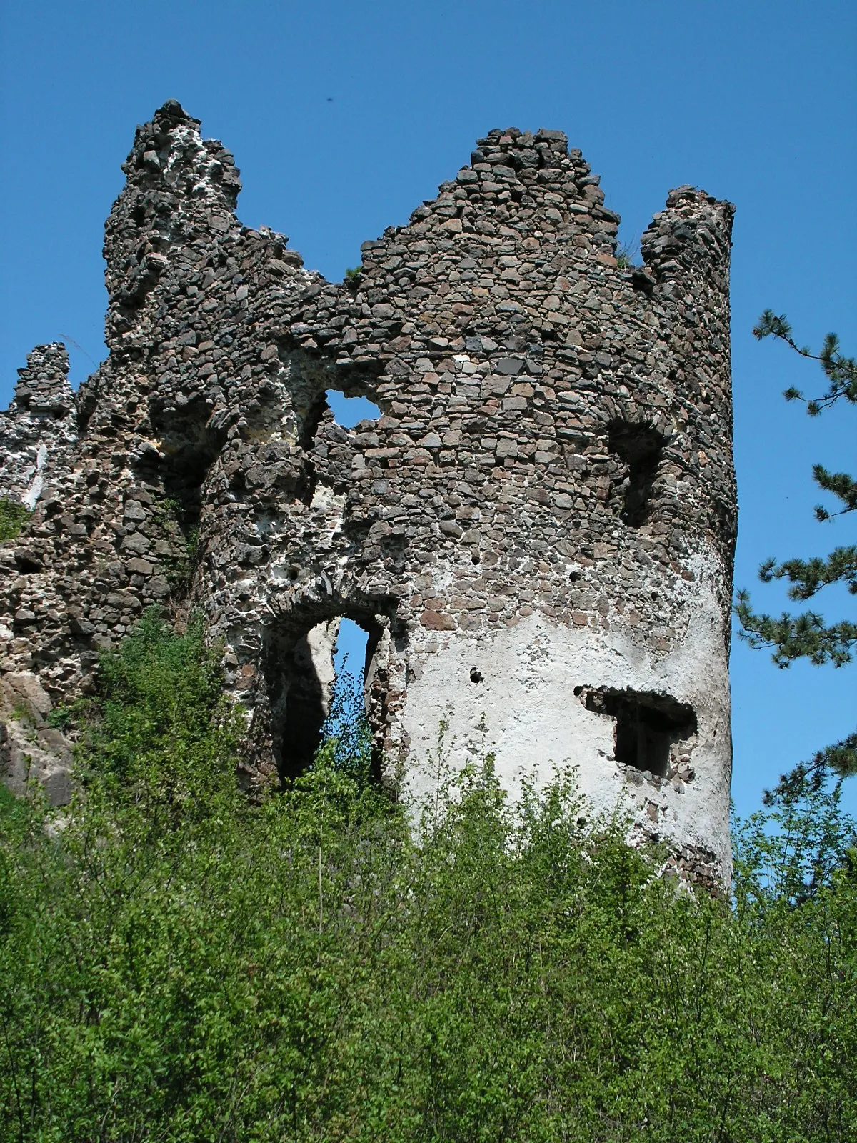
Doublecross, Jedľové Kostolany438 mPeakDoublecross in Jedľové Kostolany is a significant historical monument symbolizing the Slovak National Uprising during World War II.
26 km
26 km
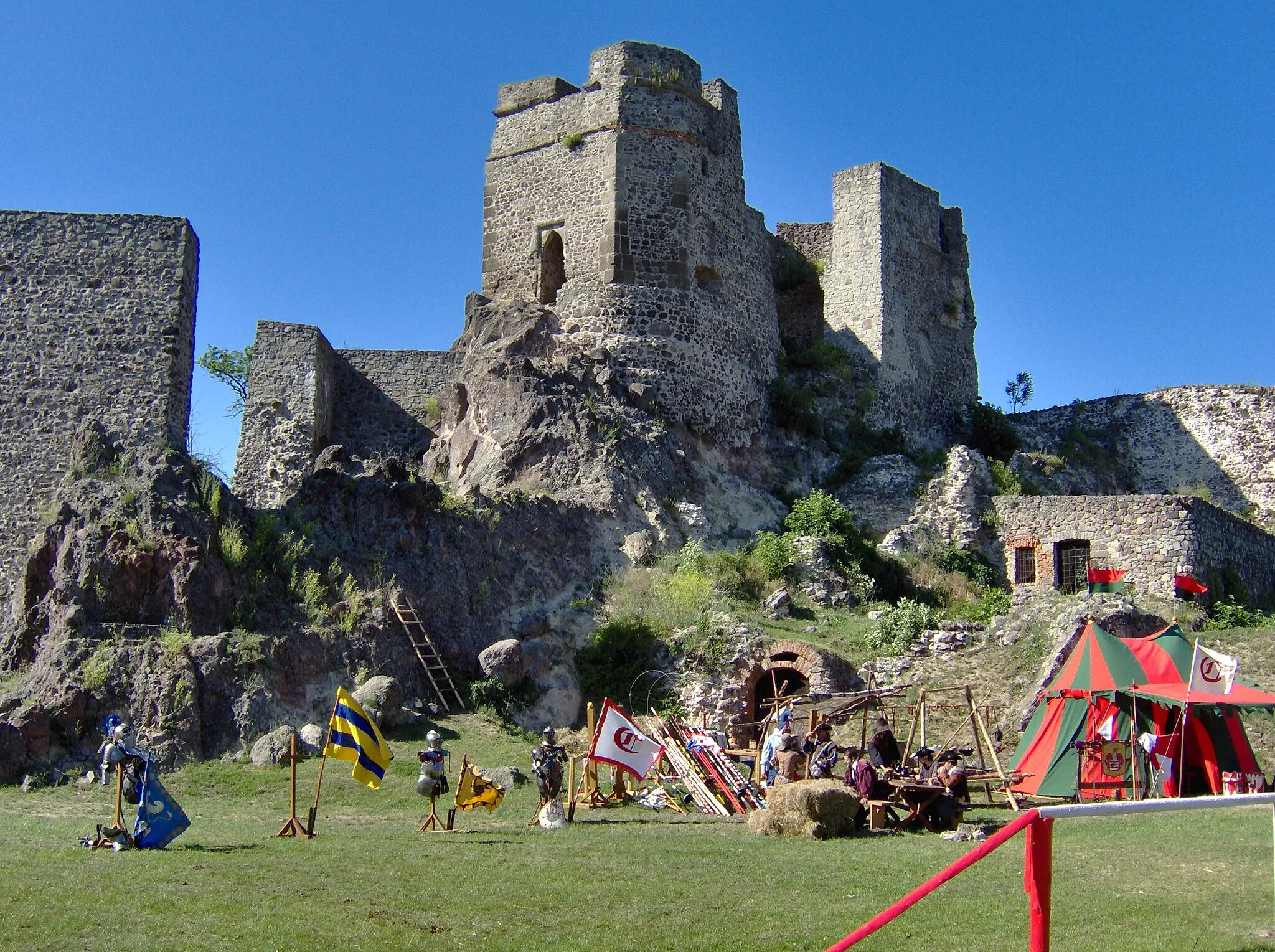
Vojšín819 mPeakVojšín offers a peaceful and scenic cycling experience with its quaint village atmosphere and beautiful natural surroundings.
37 km
37 km
Johan670 mPeakJohan is a popular destination for hikers and cyclists, offering panoramic views of the surrounding landscape.
42 km
42 km
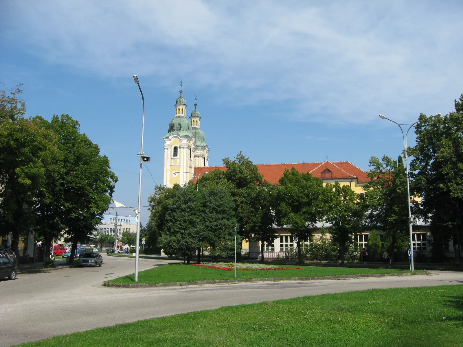
Nová BaňaTownNová Baňa is known for its mining history and offers a glimpse into Slovakia's rich industrial past.
53 km
53 km
Veľký Inovec901 mPeakVeľký Inovec is a mountain offering stunning views of the surrounding countryside and a challenging climb for cyclists.
66 km
66 km
Finish: Zlaté Moravce City centerZlaté Moravce: Tranquil locality with average cycling options in Západné Slovensko region.
Cycling routes from Zlate Moravce:
Cycling routes nearby: