Kolpa River Adventure
A road cycling route starting from Semic
Cycle along the stunning Kolpa river and discover charming villages and scenic landscapes.
Map
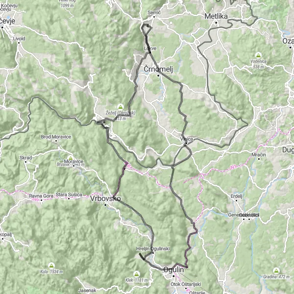
Embark on an exciting adventure along the Kolpa River, where you'll be captivated by the picturesque villages, lush landscapes, and stunning views. This route offers a mix of challenging terrain and relaxing stretches, perfect for both experienced cyclists and enthusiastic amateurs. The route covers a distance of 128 km, with a total ascent of 1907 meters. With its diverse highlights and beautiful surroundings, the Kolpa River Adventure is a must-try for any cycling enthusiast.
road
128 km
1907 m
Tough
Route profile
Highlights on the route
0 km
0 km
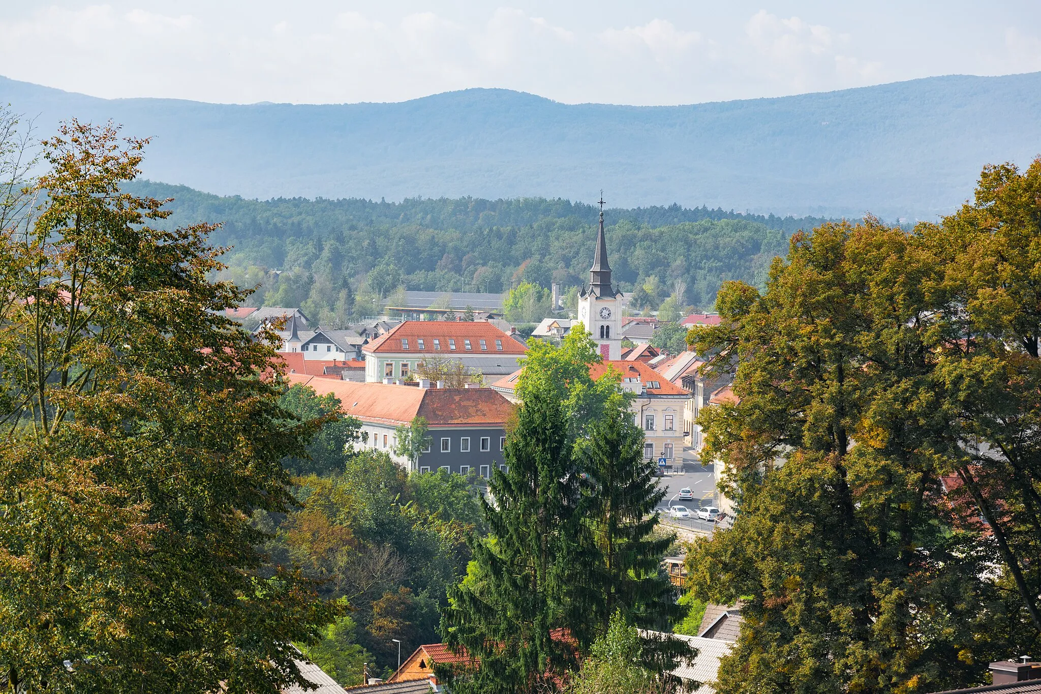
Start: Trebnji Vrh Village centerSemič: Discover the cycling routes and traditions of Semič.
Semič is a town located in Vzhodna Slovenija, Slovenia. From a cyclist's perspective, Semič offers a mix of flat and hilly routes suitable for both road and gravel cycling. The town is surrounded by vineyards and forests, providing scenic views throughout the cycling routes. One famous cycling-related spot nearby is Otočec Castle, a medieval castle situated on a small island in the Krka River. Semič is also known for its traditional Pisanec Carnival, which attracts visitors with its vibrant costumes and parades. Overall, Semič is a cyclist-friendly locality with natural beauty and cultural events.13 km
13 km
Vrtič205 mPeakVisit the charming village of Vrtič, located 13 km along the route, and explore its unique architecture and rich cultural heritage.
25 km
25 km
Žeželj334 mPeakStop at Žeželj, 25 km into the ride, and enjoy breathtaking views of the surrounding mountains and forests.
25 km
25 km
VinicaVillageDiscover the historic town of Vinica, situated 25 km along the route, and immerse yourself in its fascinating history and charming atmosphere.
39 km
39 km
Ćuvidinka264 mPeakPassing through the village of Ćuvidinka at the 39 km mark, relish in the serenity and natural beauty of its surroundings.
57 km
57 km
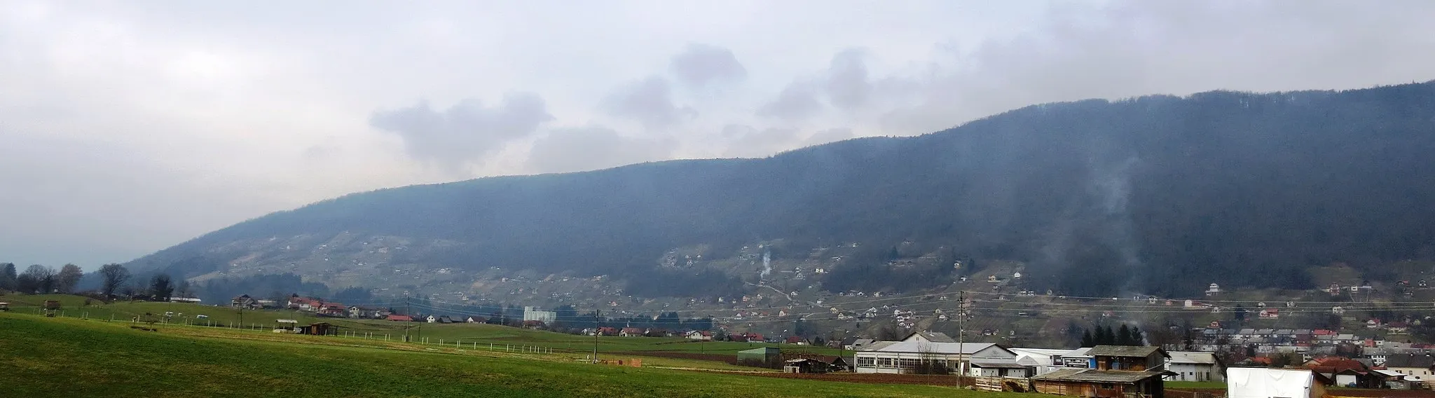
Drenovac550 mPeakAt the 57 km mark lies the village of Drenovac, offering scenic views of rolling hills and picturesque landscapes.
58 km
58 km
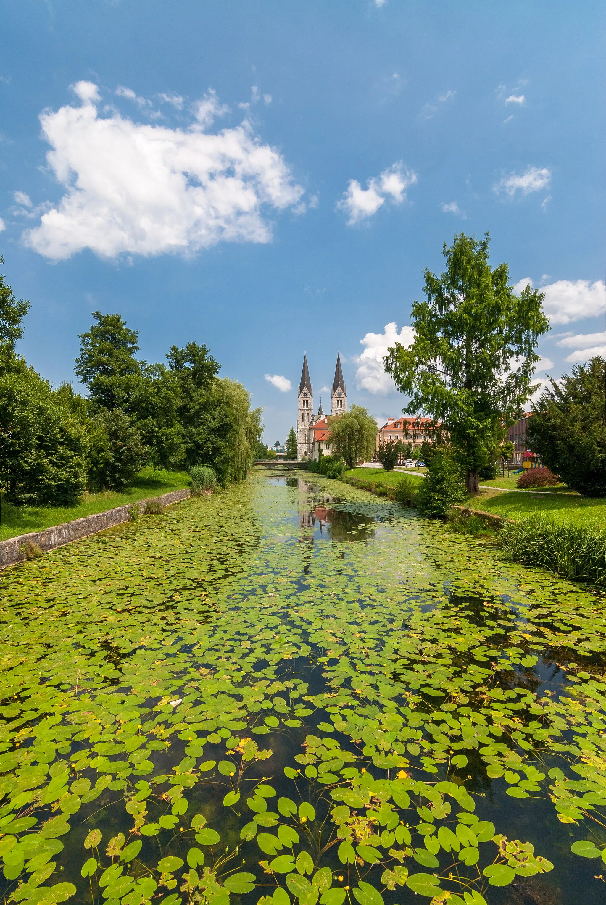
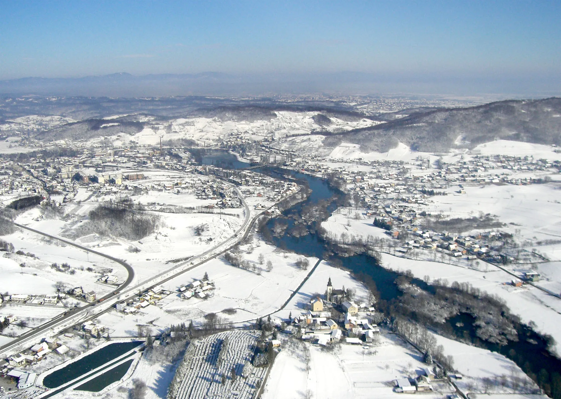
OgulinTownMake a stop in Ogulin, located 58 km into the ride, and explore its fascinating history and architecture.
69 km
69 km
Hreljin OgulinskiVillagePass through Hreljin Ogulinski at the 69 km mark and enjoy the tranquility of its surroundings and the charming countryside.
72 km
72 km
Kučaj560 mPeakVenture to Kučaj at the 72 km mark and soak in the stunning vistas of mountains and meadows.
84 km
84 km
Cerik712 mPeakDiscover the hidden gems of Cerik, located 84 km along the route, with its charming architecture and peaceful ambiance.
90 km
90 km
LukovdolVillageAt the 90 km mark, you'll find Lukovdol, a village surrounded by beautiful forests and idyllic countryside.
103 km
103 km
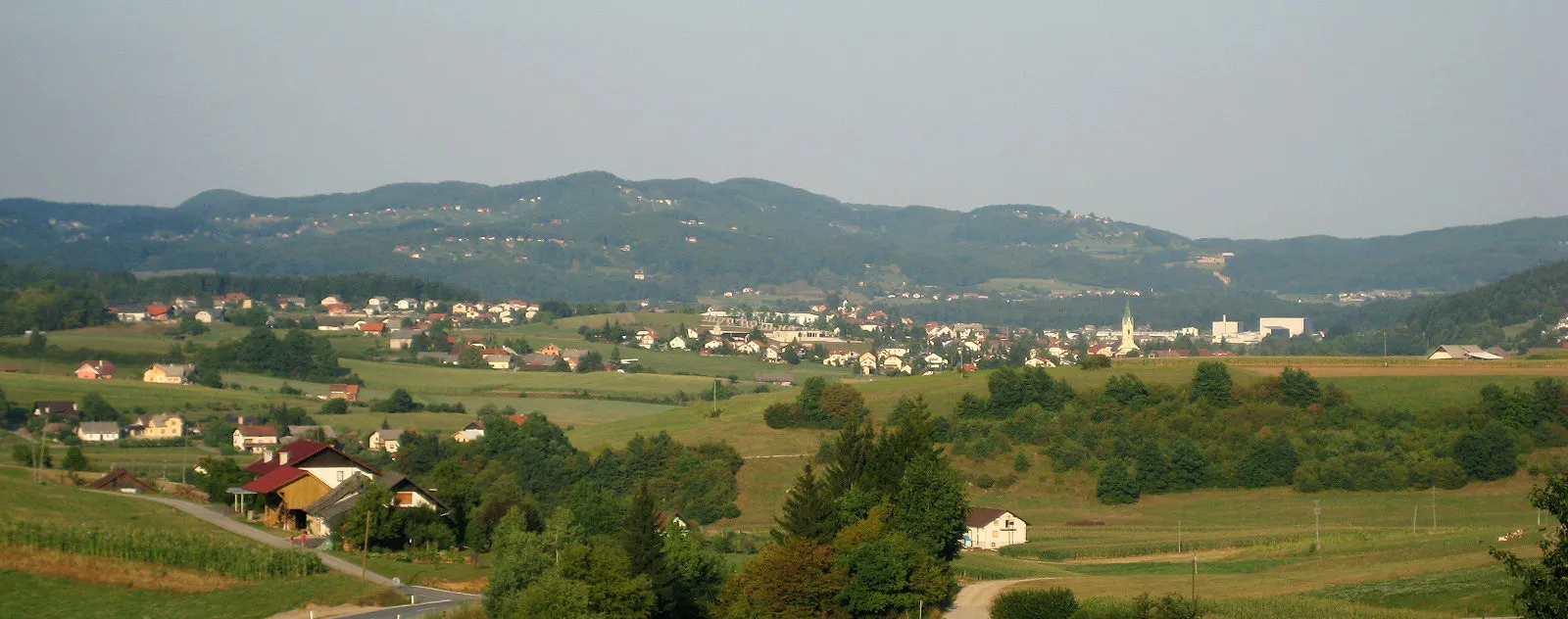
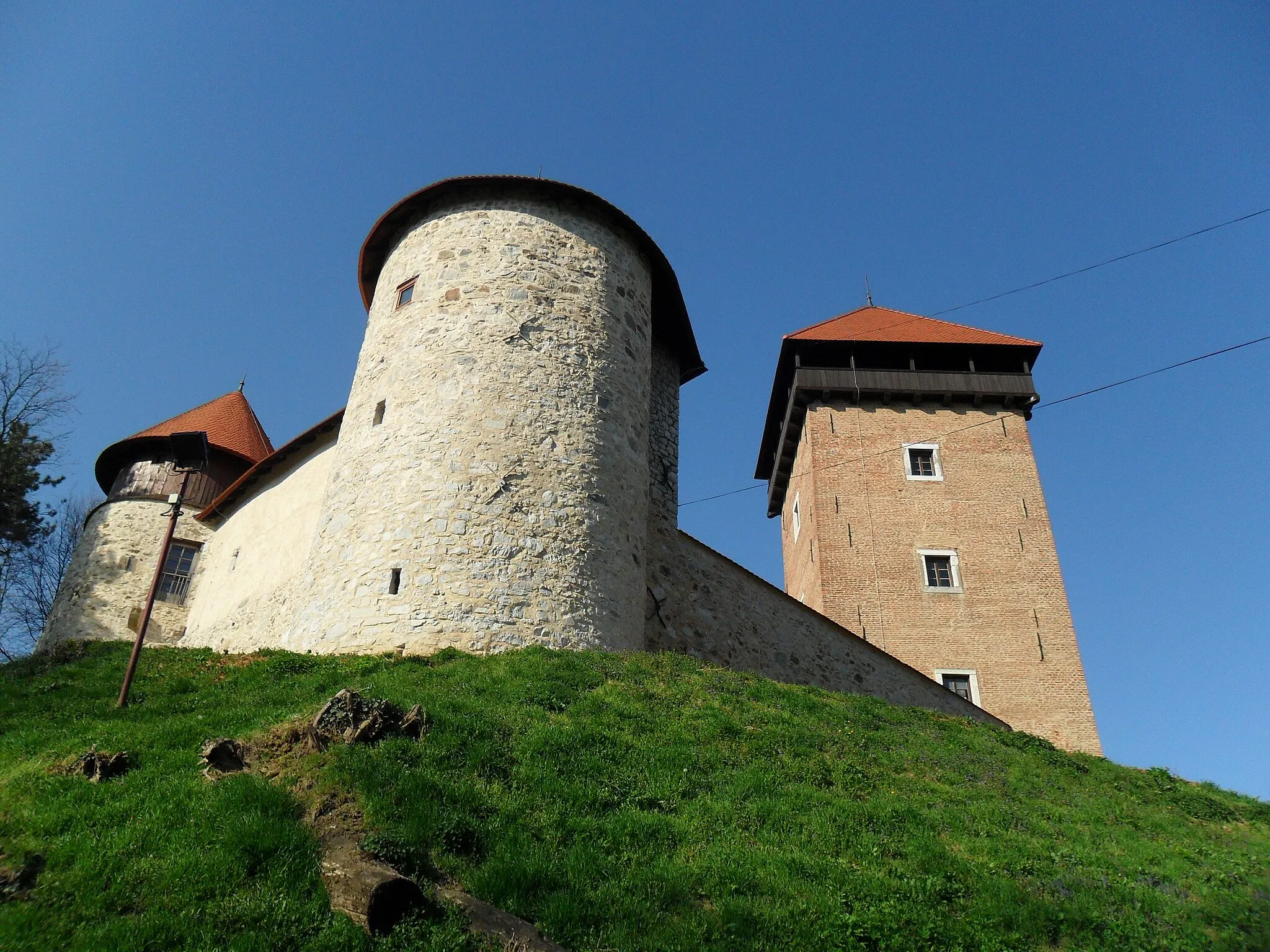
Stari trg ob KolpiVillageExplore the historic town of Stari trg ob Kolpi, situated 103 km along the route, and learn about its rich cultural heritage.
109 km
109 km
Ušec616 mPeakUšec, at the 109 km mark, offers breathtaking views of the countryside and a peaceful atmosphere for relaxation.
117 km
117 km
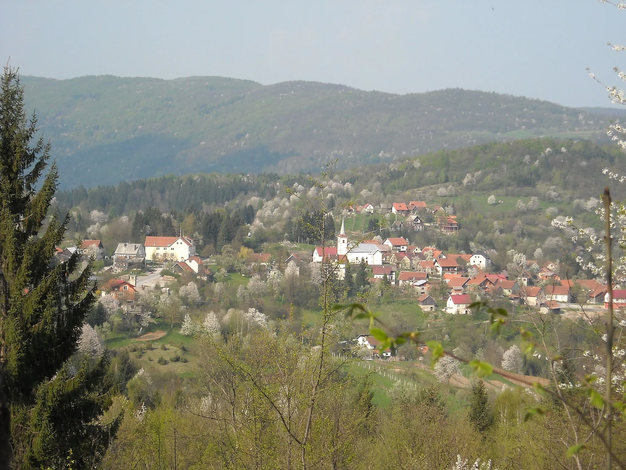
JelševnikVillageJelševnik, located 117 km into the ride, is a charming village known for its traditional architecture and tranquil setting.
120 km
120 km
Vančji vrh196 mPeakAt the 120 km mark, you'll reach Vančji vrh, famous for its stunning panoramas and a chance to connect with nature.
128 km
128 km
Finish: Trebnji Vrh Village centerSemič: Discover the cycling routes and traditions of Semič.
Cycling routes nearby: