Vzhodna Slovenija Gravel Route
A gravel cycling route starting from Straza
An exhilarating gravel route with breathtaking views
Map
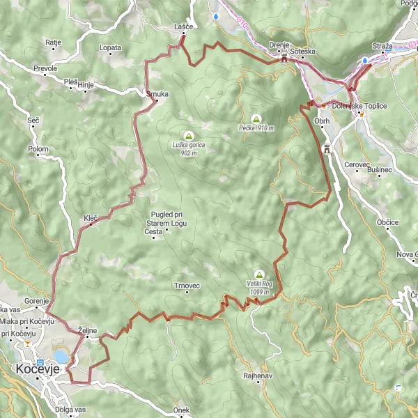
This gravel route in Vzhodna Slovenija (Eastern Slovenia) offers a thrilling adventure for cyclists. With a total ascent of 1260 meters and a distance of 75 kilometers, riders will experience stunning views of the Slovenian landscape. The route is challenging yet manageable for well-trained amateurs, with diverse terrain and some steep sections. Cyclists can expect to be rewarded with panoramic vistas and unique highlights along the way.
gravel
75 km
1260 m
Tough
Route profile
Highlights on the route
0 km
0 km
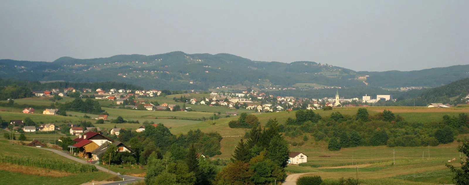
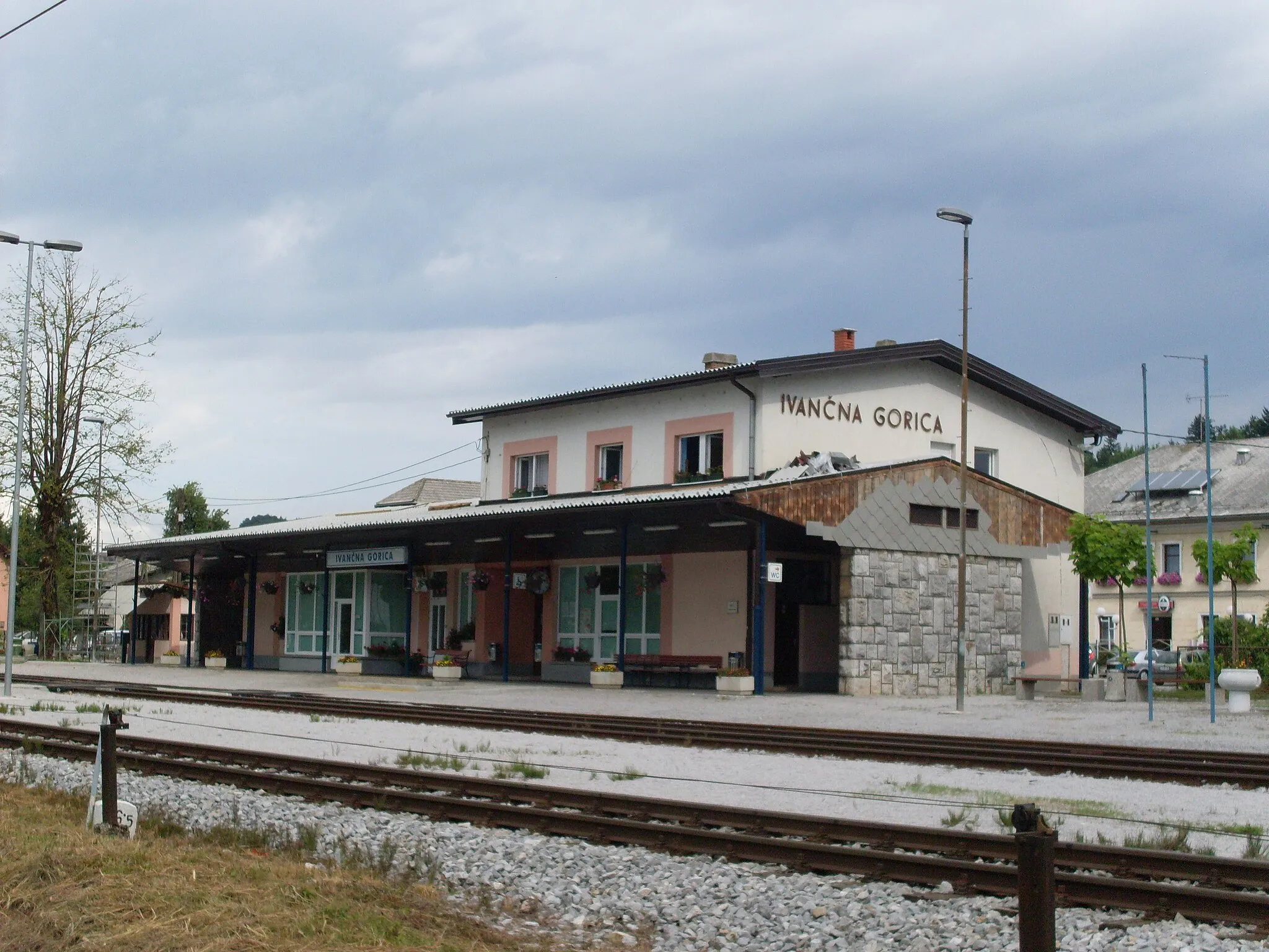
Start: Rumanja vas Village centerStraža: Cycling Delight in Vzhodna Slovenija
Straža, situated in Vzhodna Slovenija, Slovenia, is a cyclist's paradise with its scenic landscapes and cycling-friendly routes. The region offers a combination of gentle rolling hills and challenging climbs, providing options for all levels of cyclists. Straža is also home to the popular cycling route along the Drava River, with its picturesque scenery and charming towns along the way. With its diverse cycling opportunities and stunning natural beauty, Straža is a must-visit destination for road and gravel cyclists.3 km
3 km
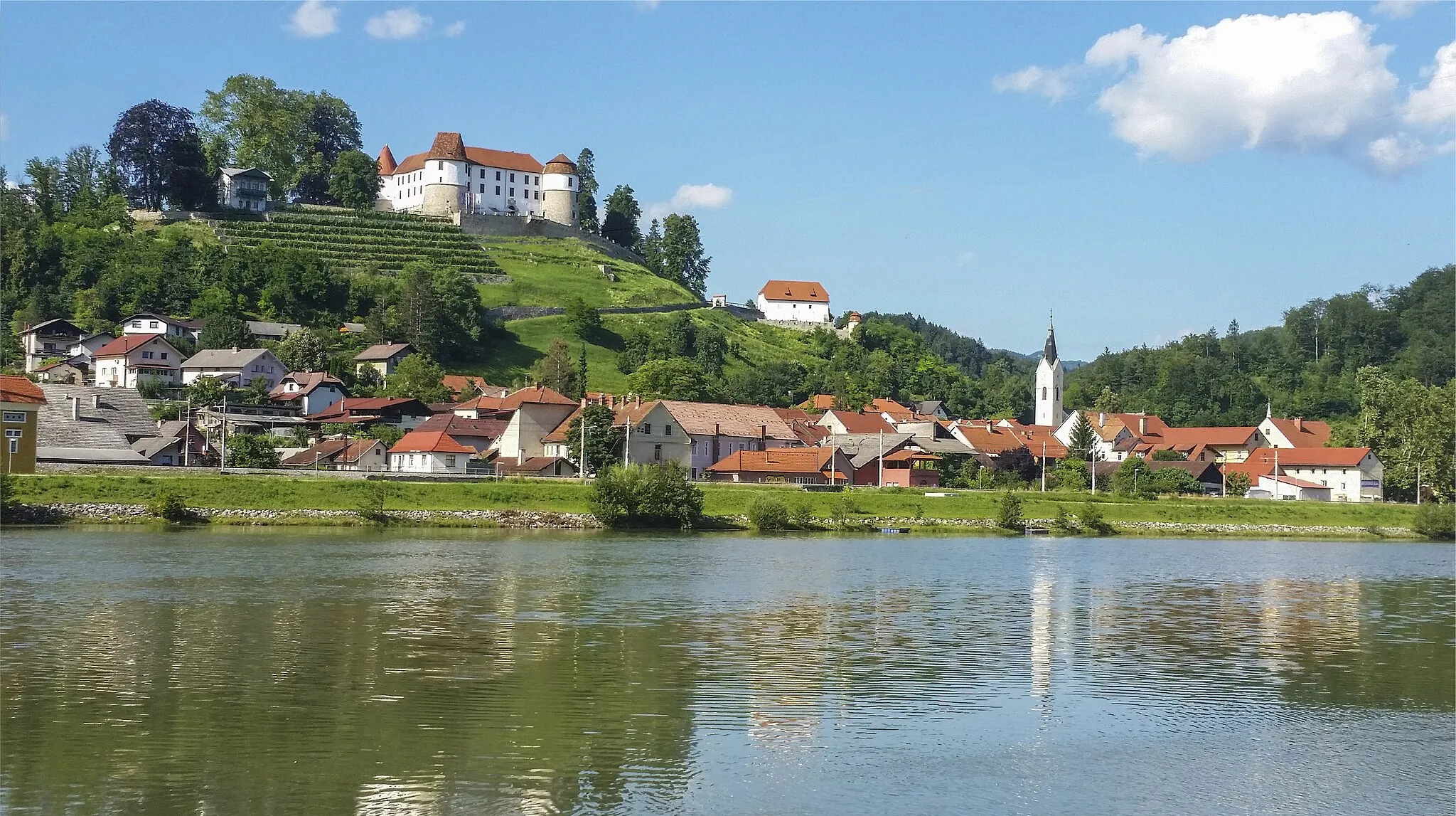
Cvinger265 mPeakCvinger is a historic site known for its hilltop castle ruins and stunning views of the surrounding vineyards.
4 km
4 km
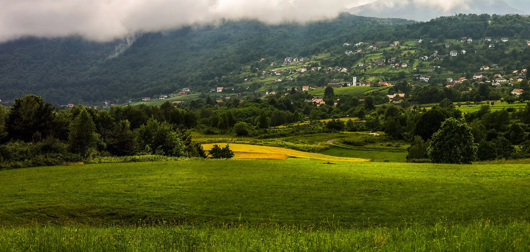
Meniška vasVillageMeniška vas is a charming village situated amidst beautiful countryside, offering a peaceful atmosphere and picturesque landscapes.
14 km
14 km
PodsteniceVillagePodstenice is a hidden gem known for its untouched natural beauty, including lush forests and meadows.
27 km
27 km
Ronj661 mPeakRonj is a picturesque hamlet nestled among rolling hills, providing cyclists with an idyllic rural scenery.
42 km
42 km
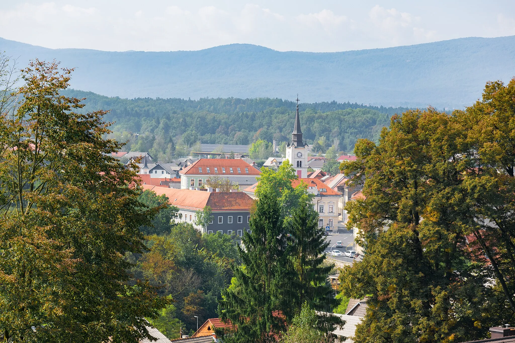
Štrih497 mPeakŠtrih is a small village renowned for its traditional architecture and traditional Slovenian hospitality.
48 km
48 km
KlečVillageKleč is a charming hilltop village with stunning panoramic views of the surrounding countryside.
60 km
60 km
Čisti vrh422 mPeakČisti vrh is a popular viewpoint offering breathtaking vistas of the Slovenian landscape.
75 km
75 km
Finish: Rumanja vas Village centerStraža: Cycling Delight in Vzhodna Slovenija
Cycling routes from Straza:
Easy Gravel Ride to Dolenjske Toplice The Toplice Gravel Adventure Cvinger and Meniška vas Gravel Route Čisti vrh and Dubli vrh Road Challenge The Cerkev Epic Road Ride Slovenian Road Cycling Adventure Vzhodna Slovenija Road Route The Gradec Cycling Route Vzhodna Slovenija Gravel Route The Ajdovec Gravel Adventure
Cycling routes nearby: