Mountain Challenge
A road cycling route starting from Aguadulce
Conquer challenging mountain passes on this epic road cycling route near Aguadulce
Map
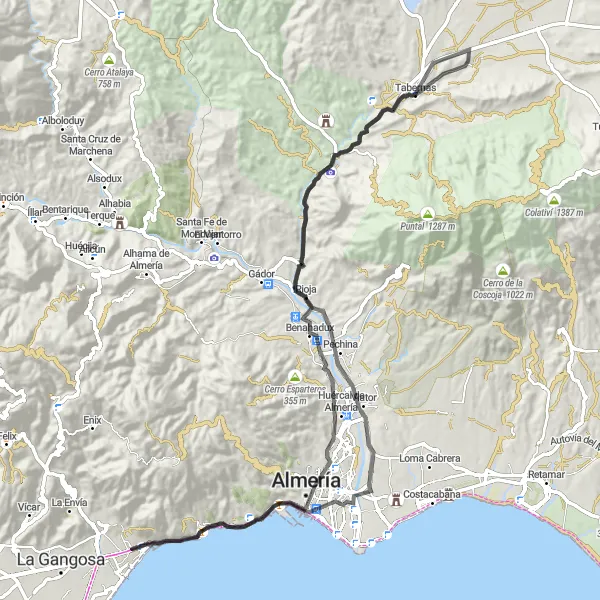
This road cycling route offers a challenging experience for riders seeking a mountainous adventure near Aguadulce. With a demanding ascent of 1500m and a distance of 96km, it is only suitable for well-trained cyclists. Highlights along the route include the stunning Mirador Cota 100 and the unique artificial oasis movie set in Tabernas.
road
96 km
1500 m
Savage
Route profile
Highlights on the route
0 km
0 km
Start: Locality centerAguadulce: Coastal and inland cycling with legendary climbs in Andalucía
Aguadulce is a locality situated in Andalucía, Spain. From a cyclist's point of view, Aguadulce offers a combination of flat coastal roads and hilly inland routes. The area is popular with cyclists for its pleasant weather and picturesque coastal views. On the inland roads, cyclists can tackle challenging climbs and explore the stunning countryside. One well-known climb nearby is the ascent to Calar Alto, a legendary spot for both amateur and professional cyclists. Aguadulce is an excellent destination for cyclists seeking varied terrain and scenic views.0 km
0 km
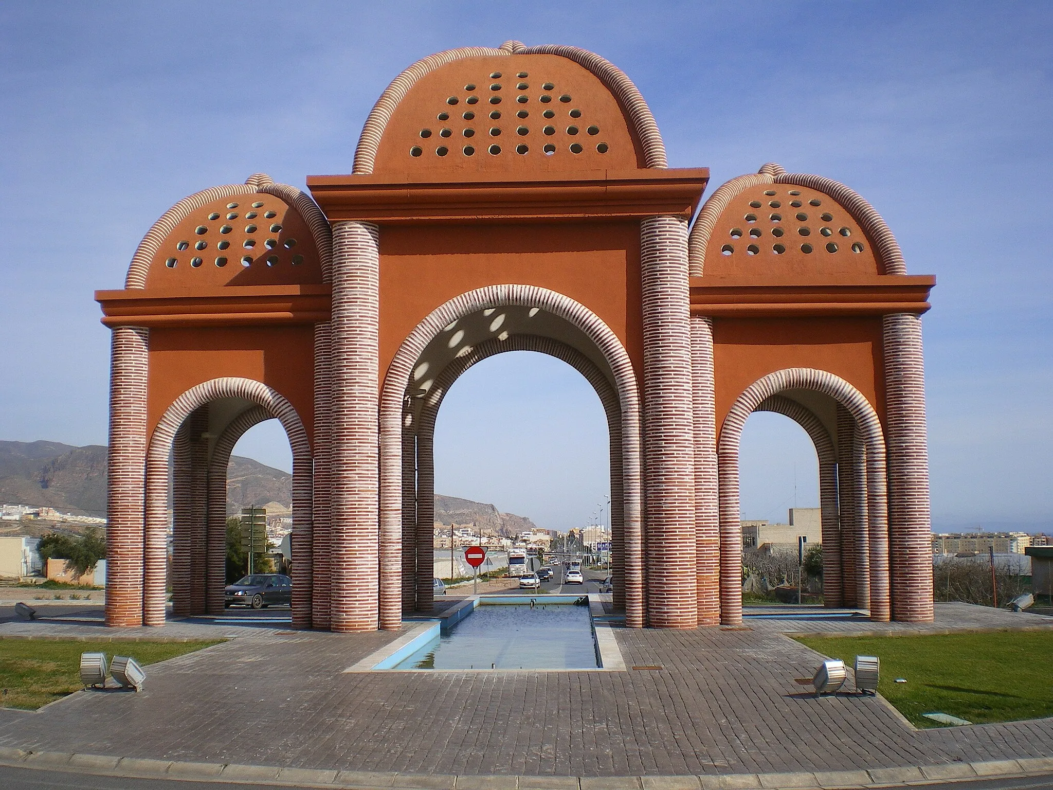
AguadulceSub-urbAguadulce, a charming coastal town
7 km
7 km
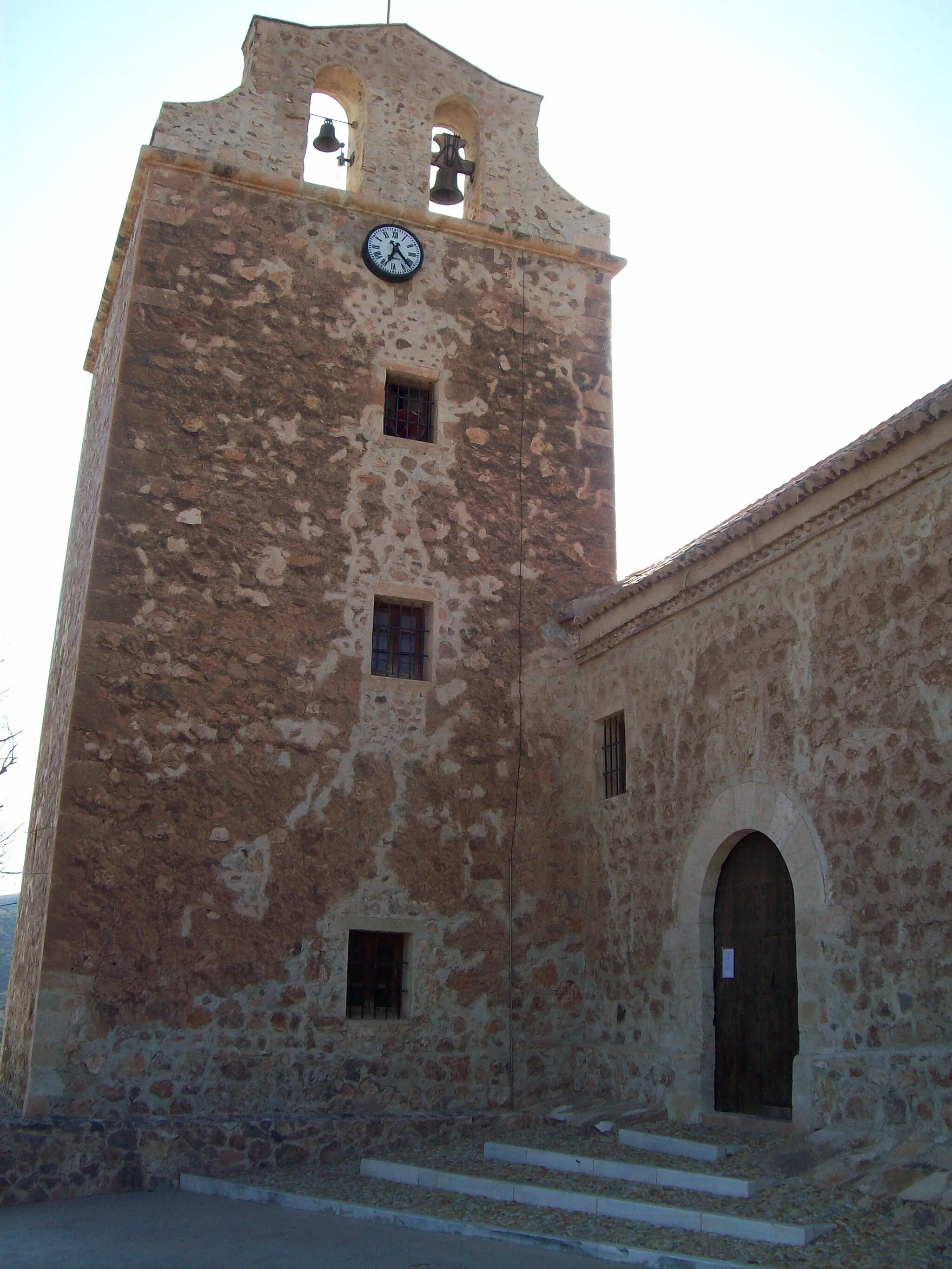
San Telmo74 mPeakSan Telmo, a historic neighborhood with picturesque streets
21 km
21 km
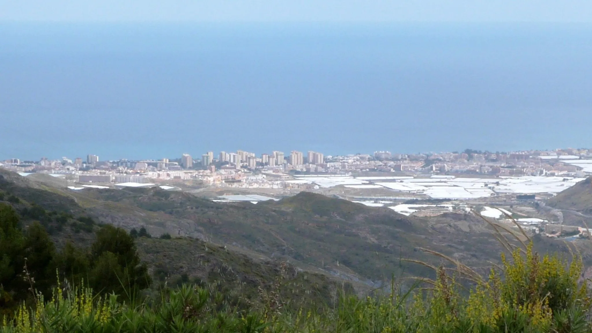
Mirador Cota 100ViewpointMirador Cota 100, a viewpoint offering panoramic views of the surrounding mountains
28 km
28 km
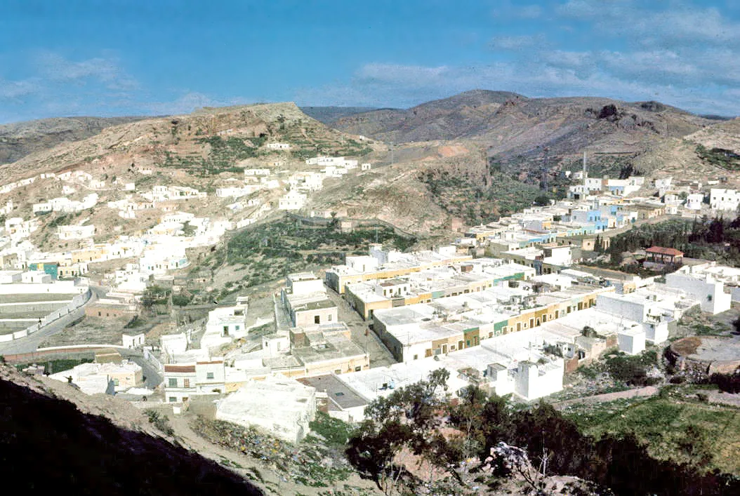
RiojaVillageRioja, a quaint village with traditional Andalusian architecture
37 km
37 km
artificial oasis movie setAttractionArtificial oasis movie set in Tabernas, known as the 'Hollywood of Spain'
53 km
53 km
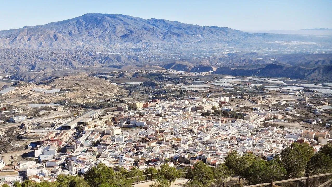
TabernasVillageTabernas, a town surrounded by breathtaking desert landscapes
78 km
78 km
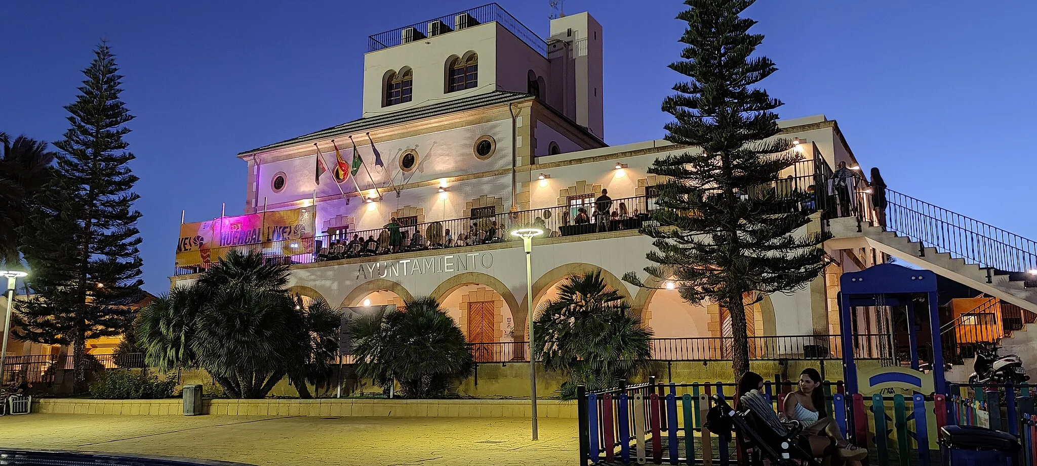
Huércal de AlmeríaVillageHuércal de Almería, a scenic area with rolling hills and picturesque olive groves
91 km
91 km
El PalmerHamletEl Palmer, a charming village known for its traditional whitewashed houses
96 km
96 km
Finish: Locality centerAguadulce: Coastal and inland cycling with legendary climbs in Andalucía
Cycling routes from Aguadulce:
Roquetas de Mar to El Parador de las Hortichuelas Gravel Route Aguadulce Gravel Adventure Roquetas de Mar to El Parador de las Hortichuelas Gravel Route Discover Almería's Countryside Aguadulce to San Telmo Road Route Aguadulce to Campillo del Moro Road Route Aguadulce to La Envía Gravel Route Mountain Challenge Coastal Road Adventure Coastal Road Ride
Cycling routes nearby: