Scenic Road Journey to the Heart of Andalucía
A road cycling route starting from Aguilar
Embark on a scenic road journey through iconic towns and rolling hills near Aguilar
Map
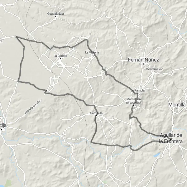
Delight in the scenic beauty of Andalucía as you embark on a 114-kilometer road journey to Aguilar. With an ascent of 1190 meters, this moderate difficulty route showcases the best of the region's charming towns and enchanting landscapes. Pedal through idyllic countryside and experience the timeless allure of southern Spain.
road
114 km
1190 m
Tough
Route profile
Highlights on the route
0 km
0 km
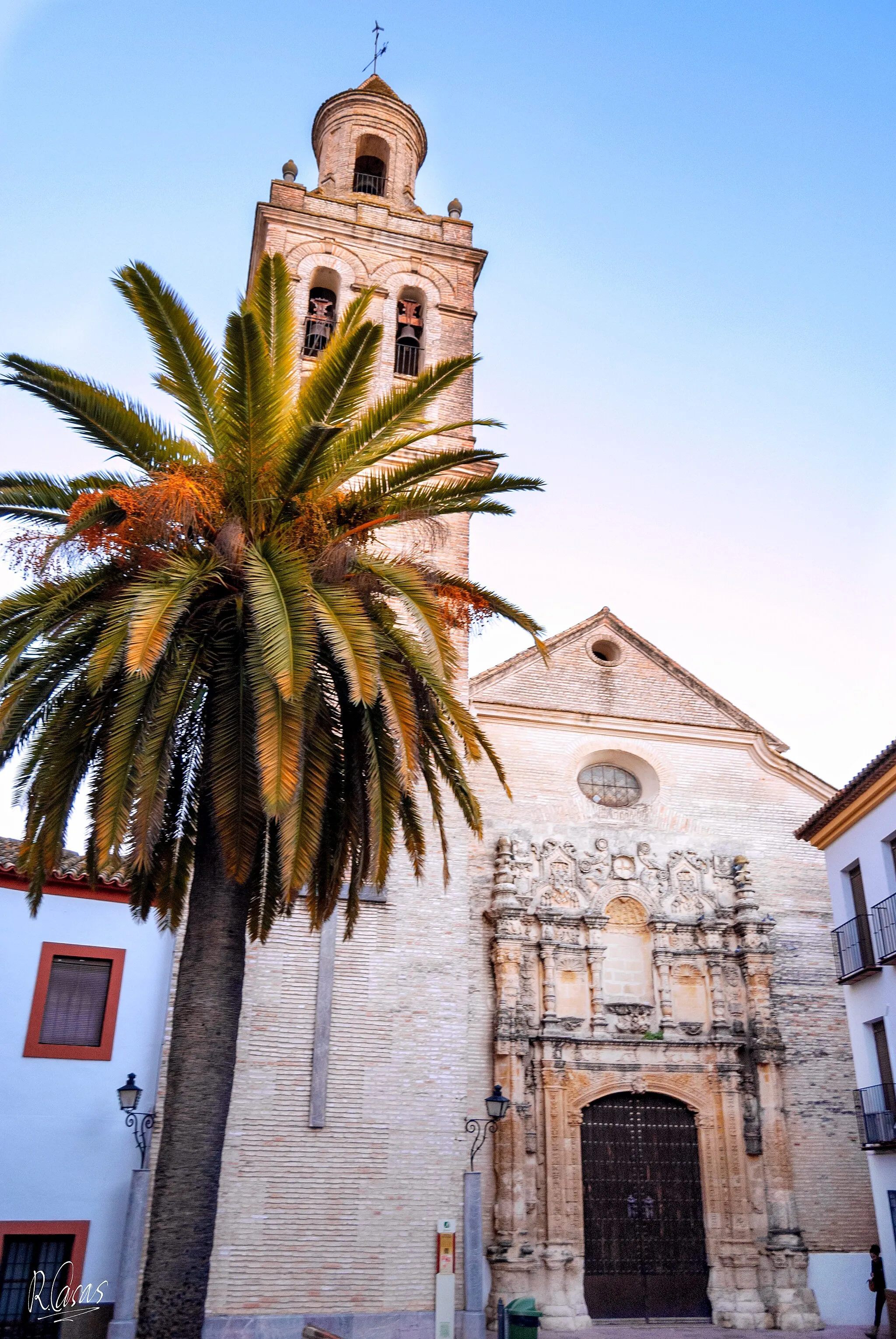
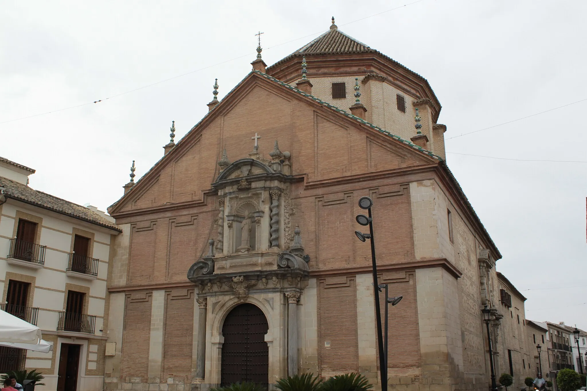
Start: Aguilar de la Frontera City centerAguilar: Discovering the diverse cycling routes in Aguilar's stunning Andalucían landscapes.
Aguilar is a town situated in the Andalucía region of Spain. For road and gravel cyclists, Aguilar offers diverse terrain options, from flat coastal routes to challenging mountainous climbs. The region boasts stunning natural landscapes, including coastal scenery, mountains, and quaint villages. Nearby, the Sierra Nevada mountain range attracts cyclists looking for high-altitude challenges. With its varied terrain and picturesque surroundings, Aguilar is a popular destination for cycling enthusiasts.26 km
26 km
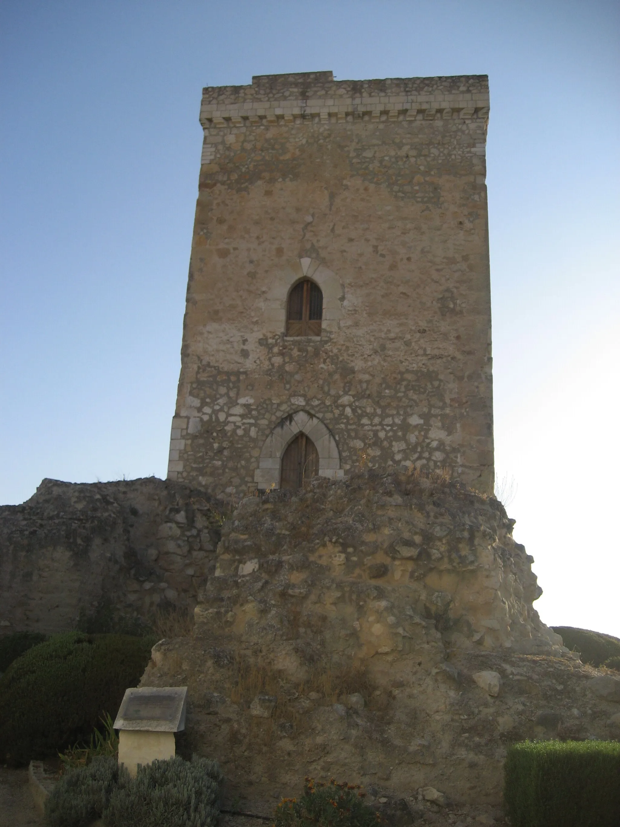
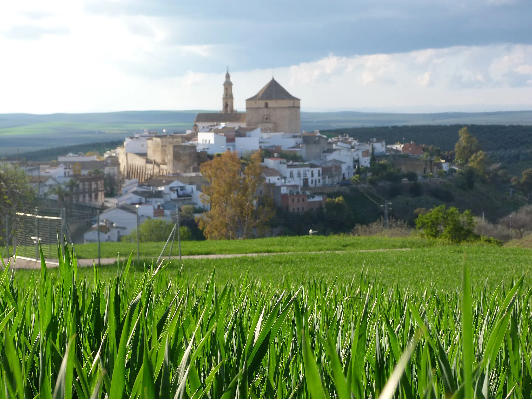
SantaellaVillageDiscover the picturesque town of Santaella, famous for its Moorish architecture and well-preserved castle ruins.
85 km
85 km
San Sebastián de los BallesterosVillagePass through San Sebastián de los Ballesteros, a historic town renowned for its olive oil production.
98 km
98 km
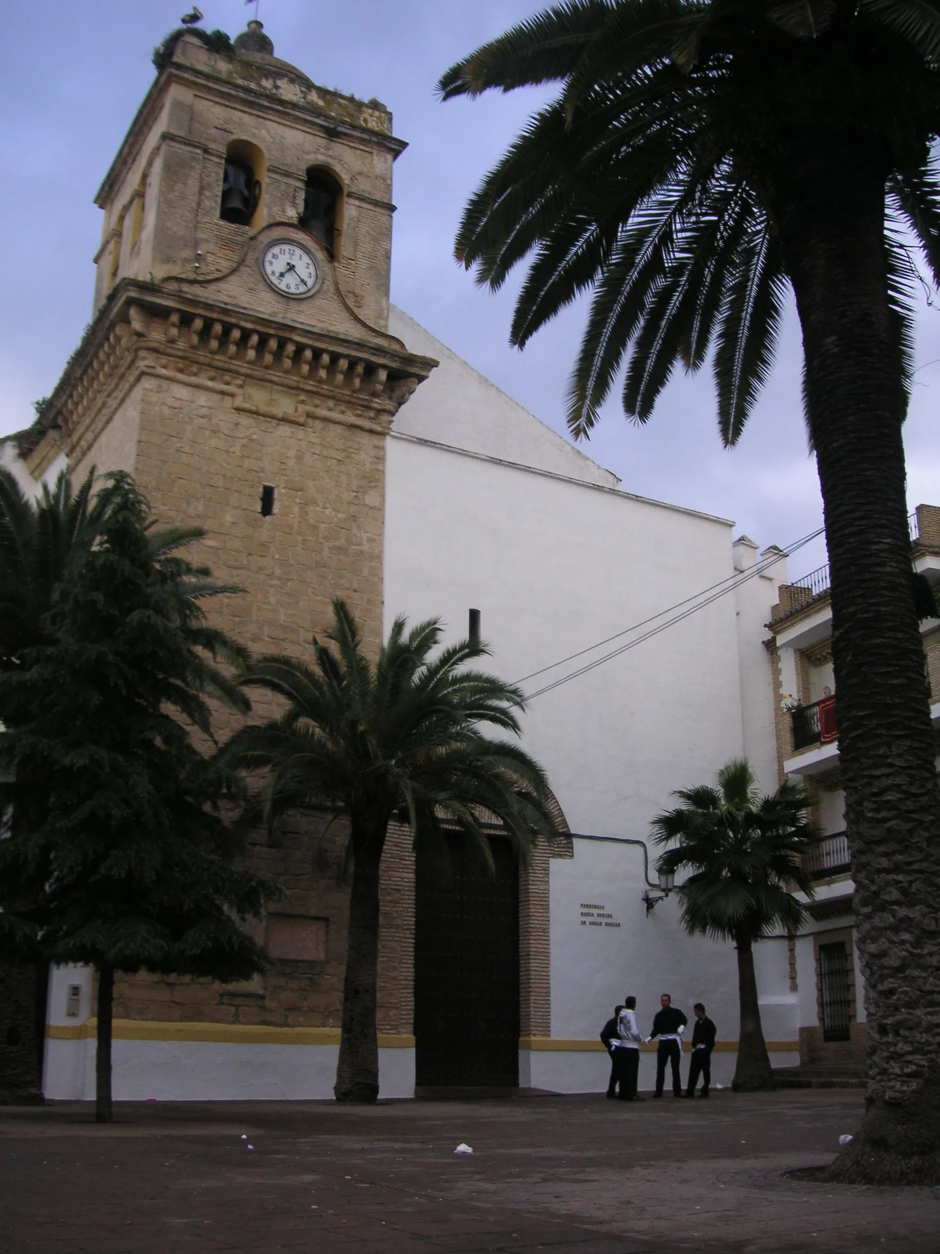
Montalbán de CórdobaVillageExperience the charm of Montalbán de Córdoba, a town rich in history and surrounded by rolling hills.
114 km
114 km
Aguilar de la FronteraTownFinish your journey in Aguilar de la Frontera, where you can appreciate the town's architectural beauty and immerse yourself in its cultural offerings.
114 km
114 km
Finish: Aguilar de la Frontera City centerAguilar: Discovering the diverse cycling routes in Aguilar's stunning Andalucían landscapes.
Cycling routes nearby: