Antas to El Argar Adventure
A road cycling route starting from Antas
Embark on an epic road cycling adventure from Antas to El Argar.
Map

Indulge in an unforgettable road cycling adventure from Antas to the captivating archaeological sites of El Argar and La Gerundia. With an elevation gain of 2471 meters and a distance of 139 kilometers, this route is only suitable for experienced cyclists. Explore the charming towns and immerse yourself in the rich history and cultural heritage of Andalucía.
road
139 km
2471 m
Savage
Route profile
Highlights on the route
0 km
0 km
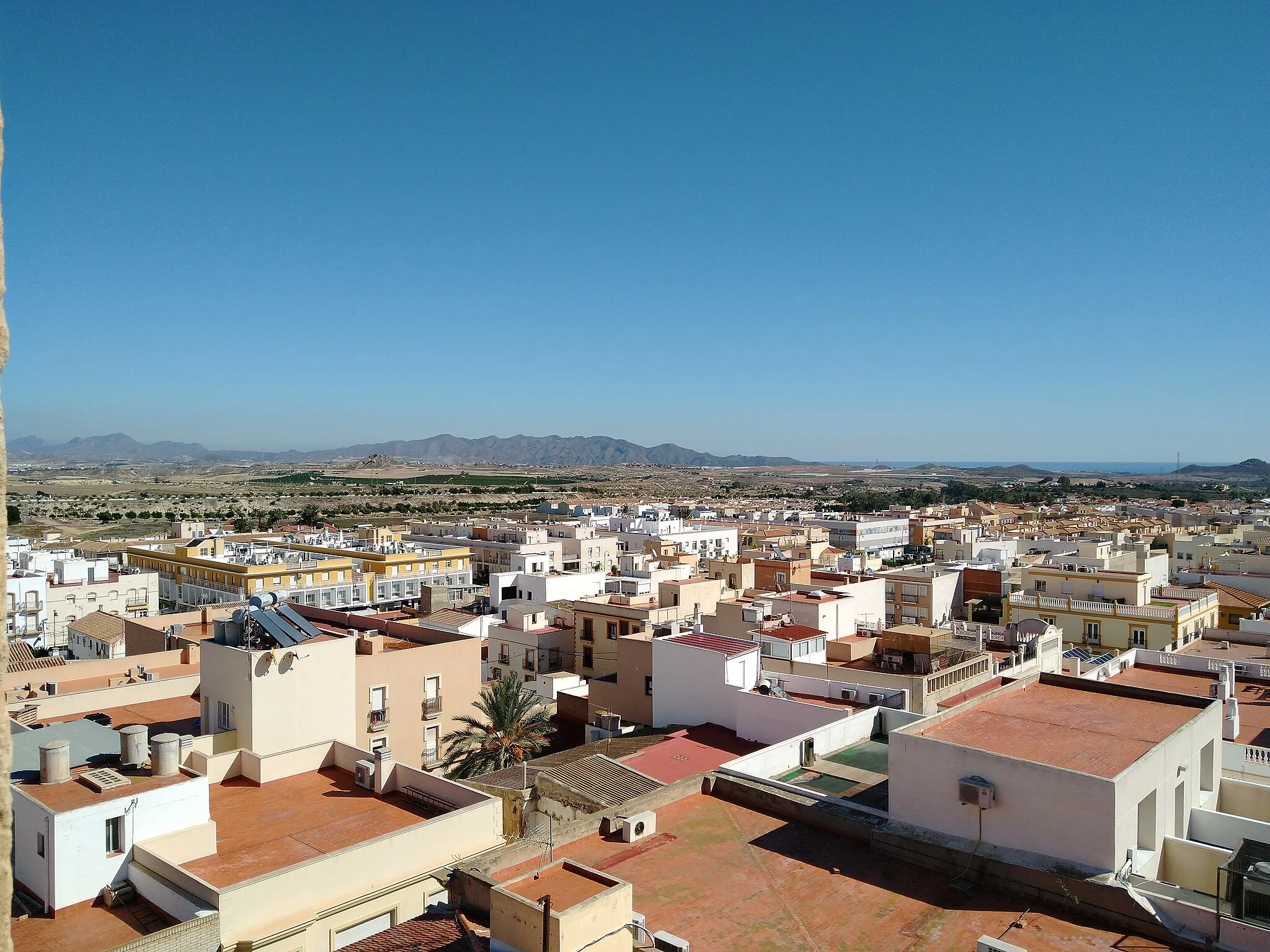
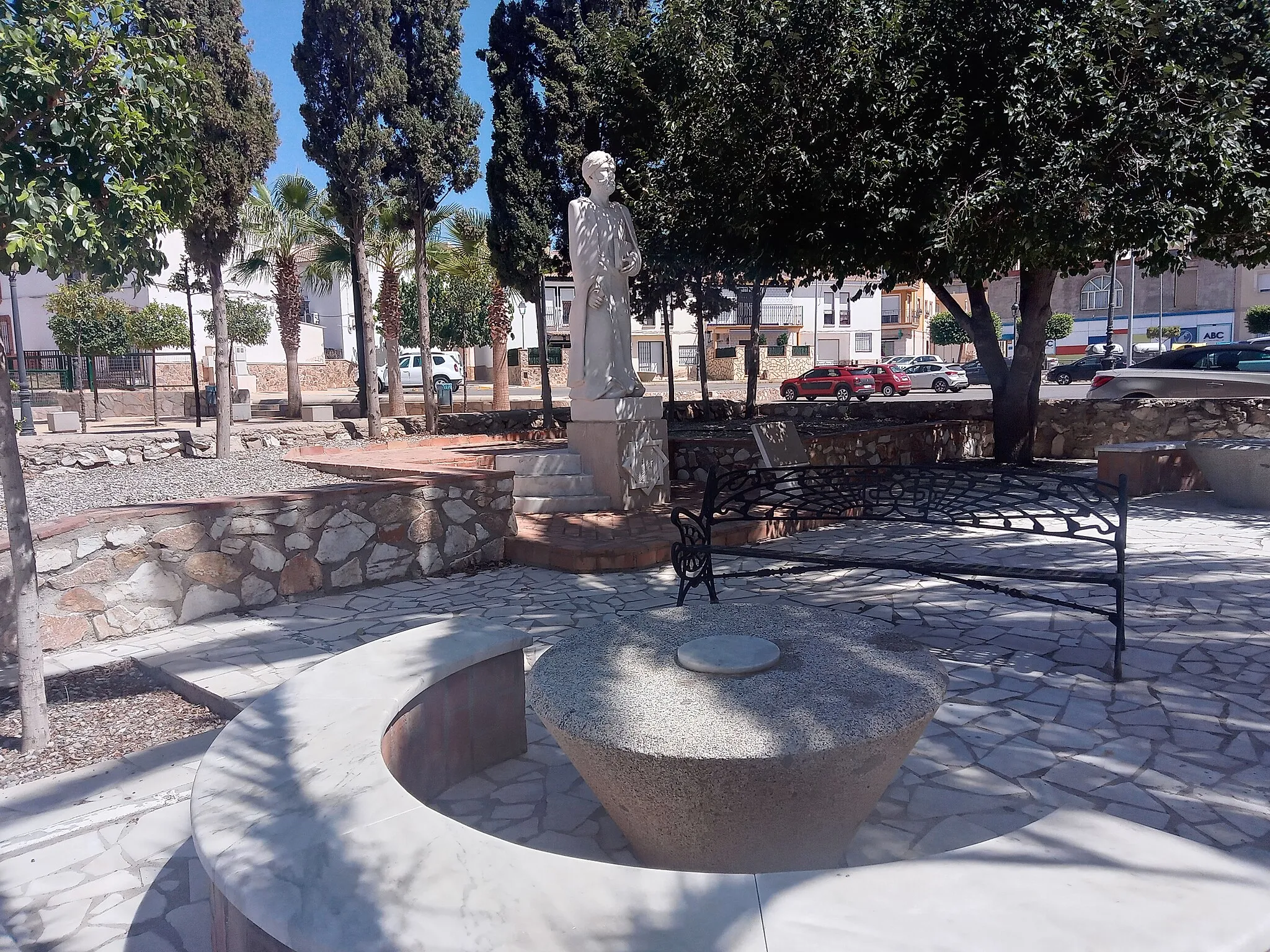
Start: Antas Village centerAntas: Serene cycling in Antas
Antas is a small town located in Andalucía, Spain. While it may not be as popular as other cycling destinations in the region, it offers some enjoyable routes for road and gravel cyclists. The quiet roads surrounding Antas pass through scenic countryside characterized by olive groves and citrus orchards. The town itself has a laid-back atmosphere, perfect for cyclists looking for a relaxing ride. Although Antas doesn't have any well-known climbs or famous cycling spots nearby, it provides a peaceful cycling experience away from busy tourist areas.59 km
59 km
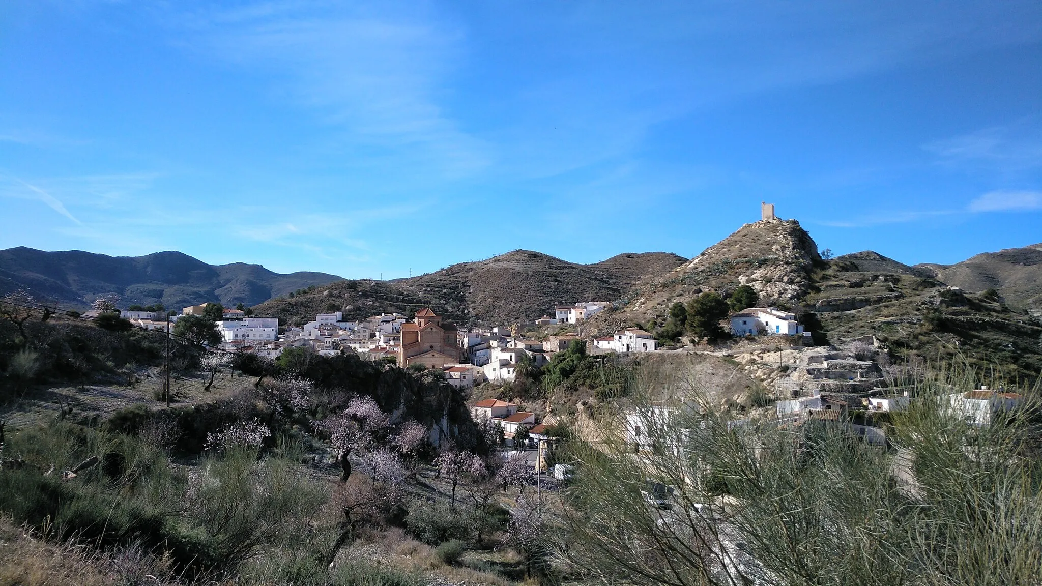
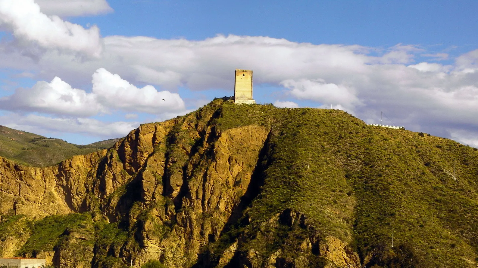
PartaloaVillagePartaloa, located 59 kilometers into the route, boasts beautiful cobbled streets and a castle perched on a hilltop.
103 km
103 km
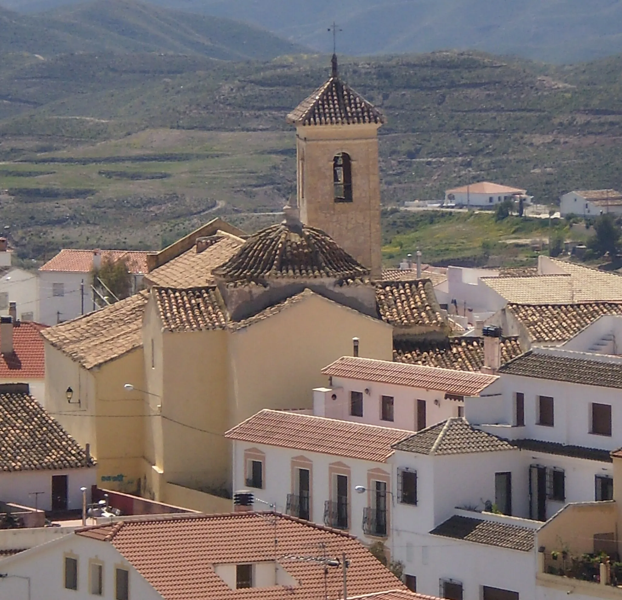
TabernoVillageTaberno, situated 103 kilometers from Antas, offers stunning views of the Sierra de Los Filabres mountain range.
122 km
122 km
El PalacésHamletEl Palacés, located 122 kilometers into the route, is renowned for its Moorish architecture and breathtaking vistas.
138 km
138 km
Zona arqueológica de El Argar y La GerundiaAttractionVisit the ancient archaeological sites of El Argar and La Gerundia, situated at a distance of 138 kilometers. Explore the rich history of these fascinating sites.
139 km
139 km
Finish: Antas Village centerAntas: Serene cycling in Antas
Cycling routes nearby: