Armilla to Montefrío Loop
A road cycling route starting from Armilla
Scenic route through beautiful landscapes and historic towns
Map
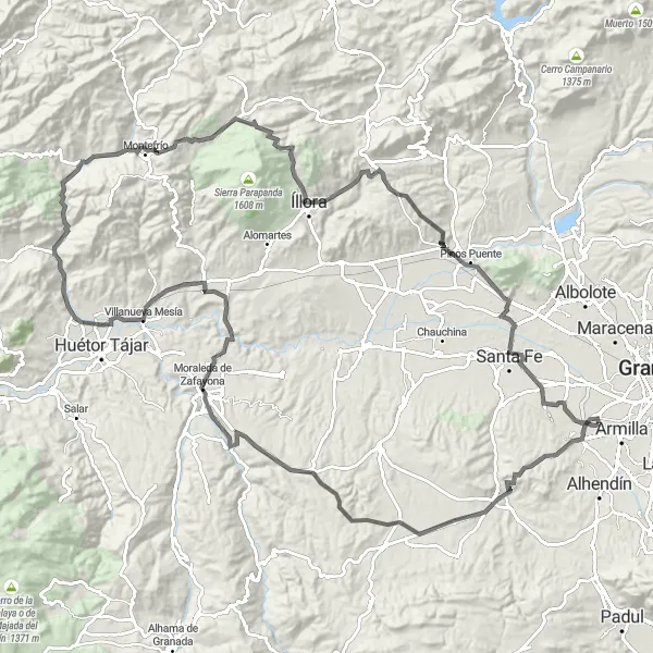
This circular route takes you from Armilla to Montefrío, passing through picturesque countryside and charming towns. It offers breathtaking views of the surrounding mountains and includes several highlights along the way. The route is suitable for road bikes and covers a distance of 137 kilometers with a total ascent of 1,845 meters. It is challenging but rewarding, offering a perfect balance of physical exertion and visual delights.
road
137 km
1845 m
Tough
Route profile
Highlights on the route
0 km
0 km
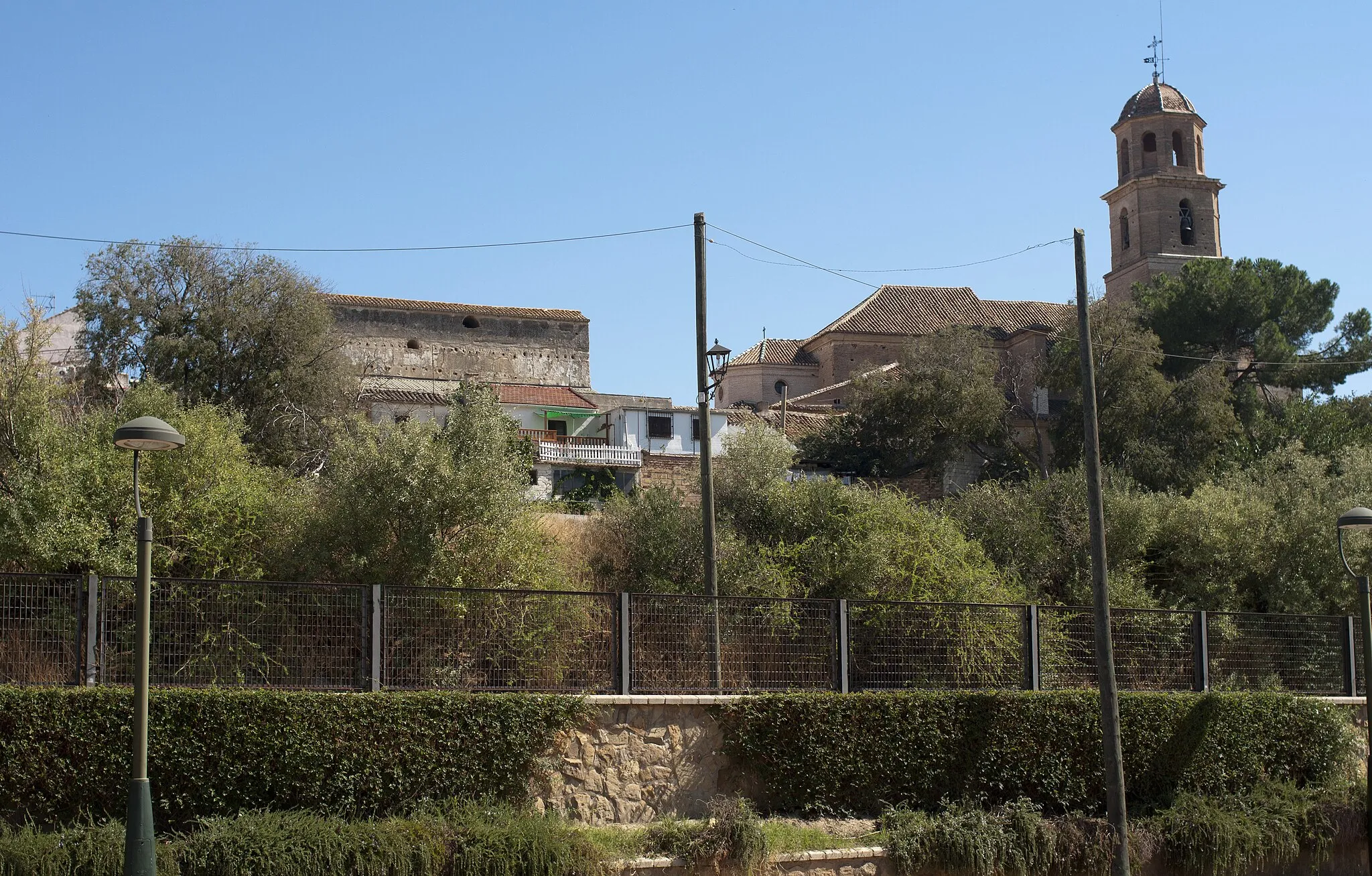
Start: Churriana de la Vega City centerArmilla: Discover a blend of natural landscapes and cultural attractions in Armilla.
Located in the Andalucía region of Spain, Armilla is a town that offers a mix of urban and natural landscapes for cyclists. As a road and gravel cyclist, you can explore the surrounding countryside and enjoy rides through olive groves and vineyards. The town is also known for its cultural attractions, such as the Armilla Archaeological Park, which features remnants of ancient civilizations. In terms of cycling, Armilla is near the Sierra Nevada National Park, offering opportunities for challenging climbs and mountain biking. Overall, Armilla is a good choice for cyclists looking to combine outdoor exploration with cultural experiences.10 km
10 km
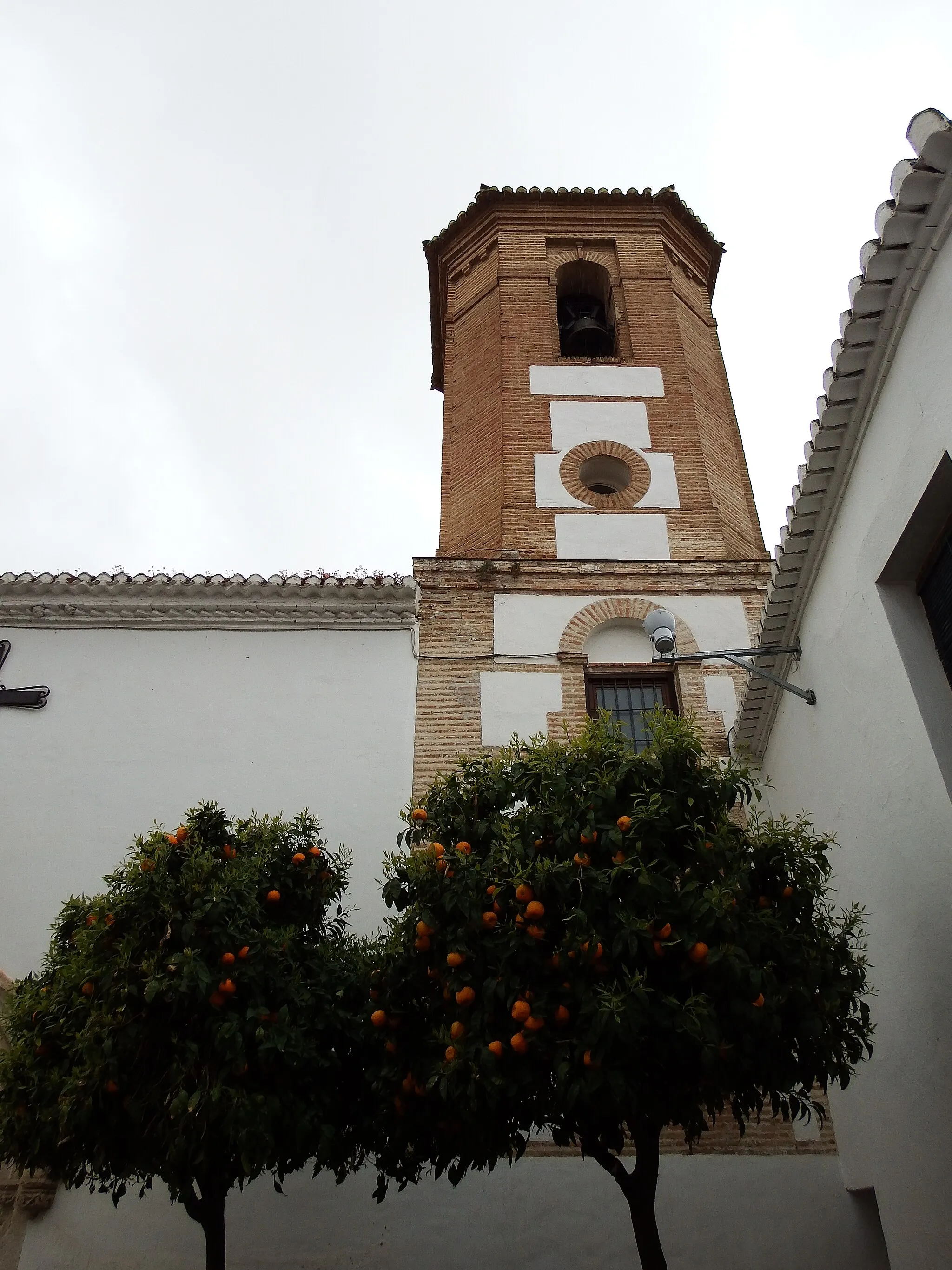
La MalaháVillagePass through La Malahá, a charming town with traditional Andalusian architecture and narrow winding streets.
35 km
35 km
El TurroVillageVisit El Turro, a small village known for its ancient olive groves and stunning views of the countryside.
51 km
51 km
TocónVillageExperience the peaceful beauty of Tocón, a quiet village surrounded by olive groves and rolling hills.
58 km
58 km
Cerro de la Autora557 mPeakClimb Cerro de la Autora, a challenging ascent that rewards you with panoramic views of the Sierra Nevada mountains.
81 km
81 km
MontefríoVillageMarvel at the beauty of Montefrío, a historic town famous for its distinctively shaped hill with a church on top.
81 km
81 km
National Geographic ViewpointViewpointStop at the National Geographic Viewpoint and take in the stunning vistas of the surrounding landscape.
100 km
100 km
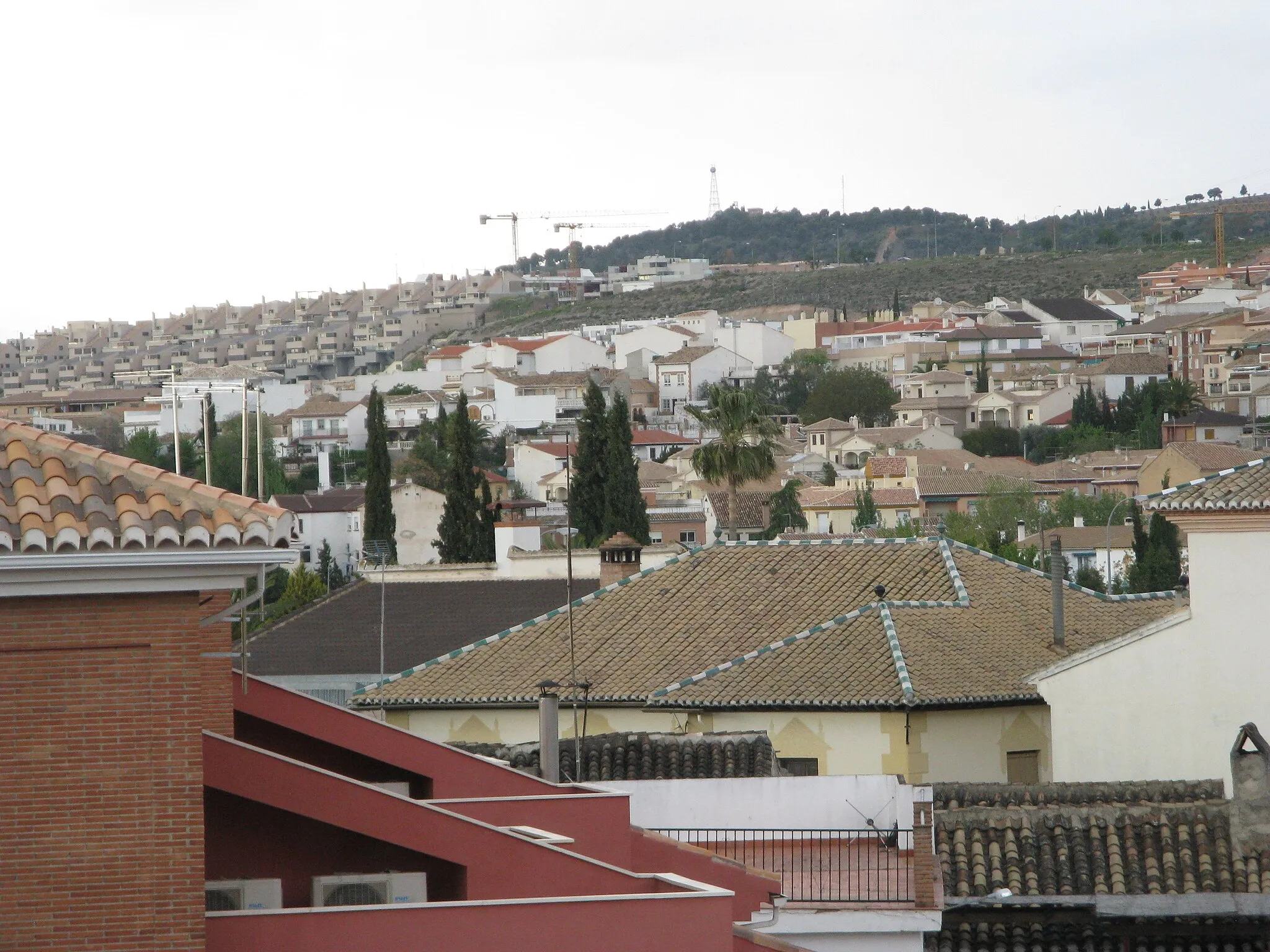
ÍlloraTownExplore Íllora, a town perched on a hill with a rich history and beautiful Moorish architecture.
121 km
121 km
Cerro del Sombrerete736 mPeakReach the summit of Cerro del Sombrerete, a challenging climb with rewarding views of the countryside.
134 km
134 km
Cúllar VegaVillagePass through Cúllar Vega, a town known for its fertile orchards and traditional Andalusian houses.
137 km
137 km
Finish: Churriana de la Vega City centerArmilla: Discover a blend of natural landscapes and cultural attractions in Armilla.
Cycling routes nearby: