Monte del Príncipe
A gravel cycling route starting from Benahavis
A gravel route full of history and breathtaking views
Map
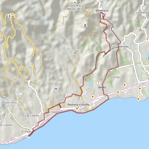
The Monte del Príncipe route takes you on a gravel adventure through stunning landscapes and historical sites. With a total distance of 35 kilometers and an ascent of 697 meters, this ride is perfect for intermediate level cyclists looking for a bit of challenge and exploration. Along the way, you will encounter the Torre de la Leonera, a historic tower that offers panoramic views of the surrounding area. Another highlight is the Mirador del Tajo del Novio, a lookout point with incredible cliffs and a picturesque backdrop. Overall, the Monte del Príncipe route offers a unique and unforgettable cycling experience.
gravel
35 km
697 m
Tough
Route profile
Highlights on the route
0 km
0 km
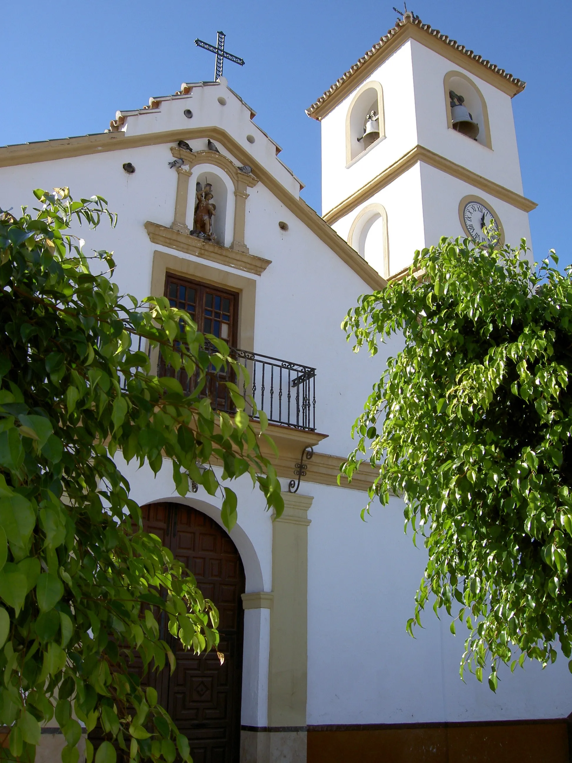
Start: Benahavís Village centerBenahavís: Enjoyable cycling and cultural exploration in Benahavís
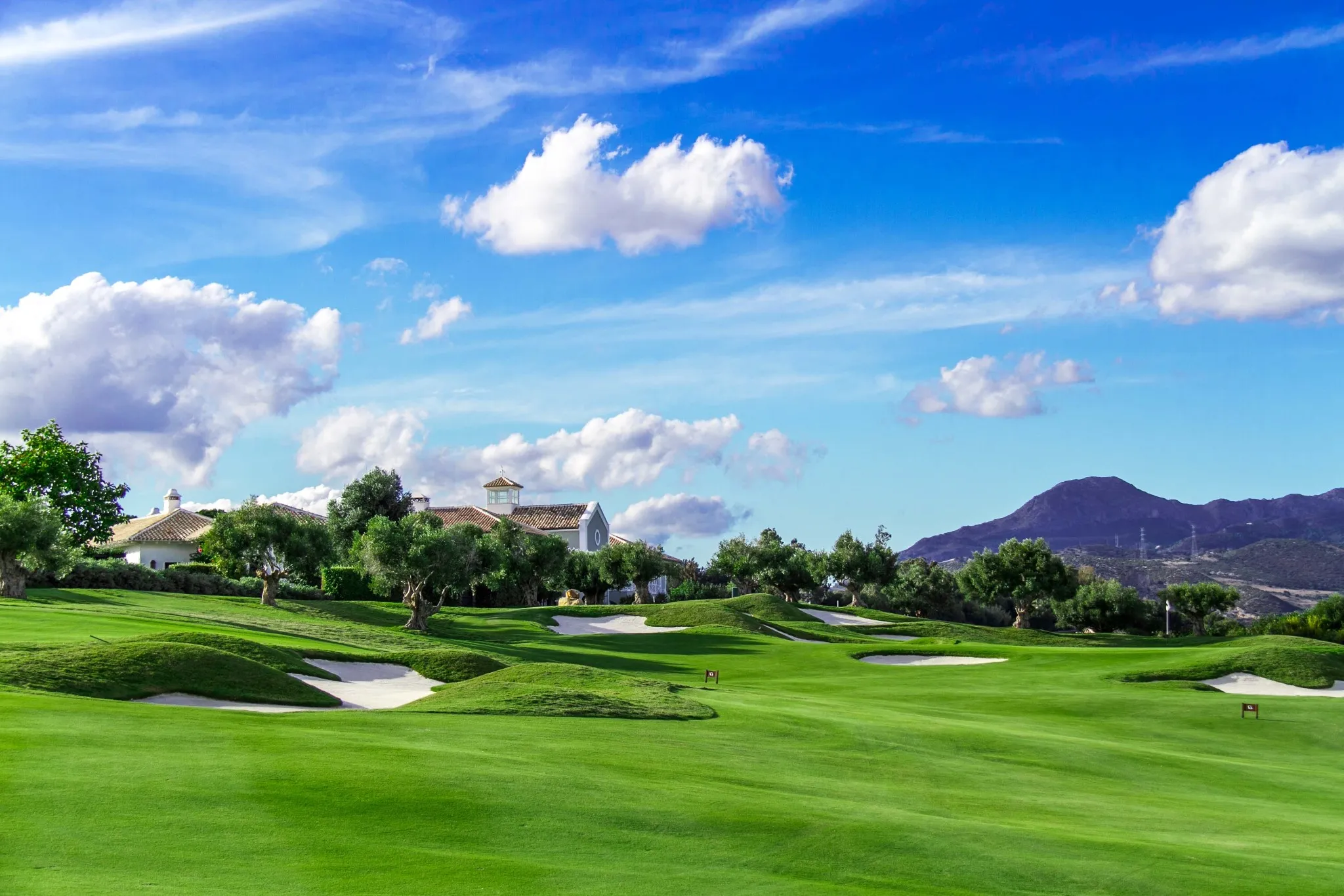
Benahavís, located in the region of Andalucía, Spain, is a pleasant locality for road and gravel cyclists. The town offers a mix of both flat and hilly terrain, making it suitable for different cycling preferences. Benahavís is close to the Sierra de las Nieves Natural Park, providing cyclists with stunning natural scenery. While not specifically renowned for cycling spots or climbs, Benahavís offers enjoyable rides and the opportunity to discover Andalucía's rich cultural heritage and gastronomy.0 km
0 km
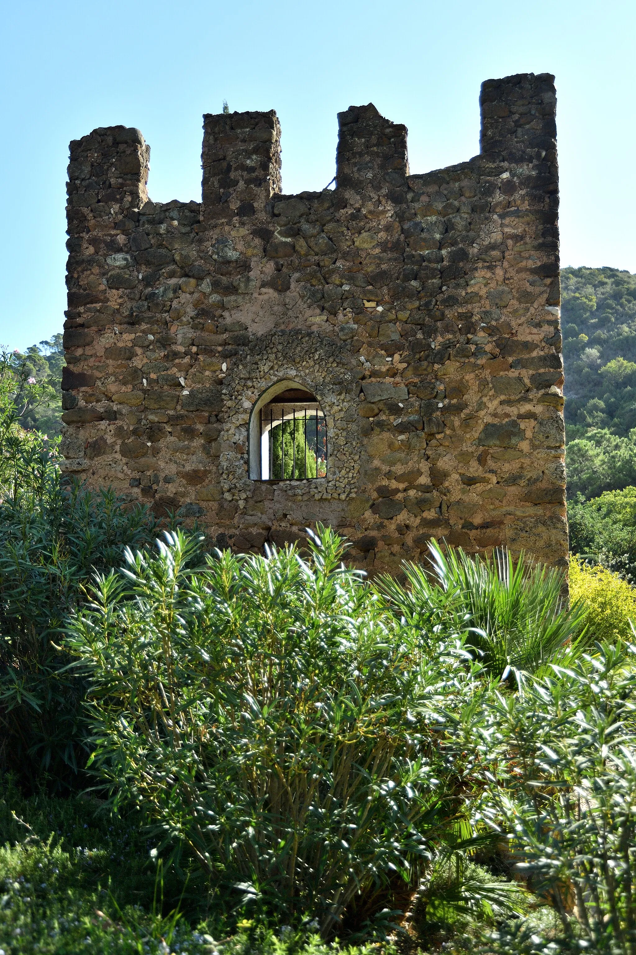
Torre de la LeoneraCastle RuinsThe Torre de la Leonera is a medieval tower that served as a defensive structure, providing glimpses into the region's rich history.
1 km
1 km
Mirador del Tajo del NovioViewpointThe Mirador del Tajo del Novio offers stunning views of vertical cliffs and the surrounding lush green landscape.
10 km
10 km
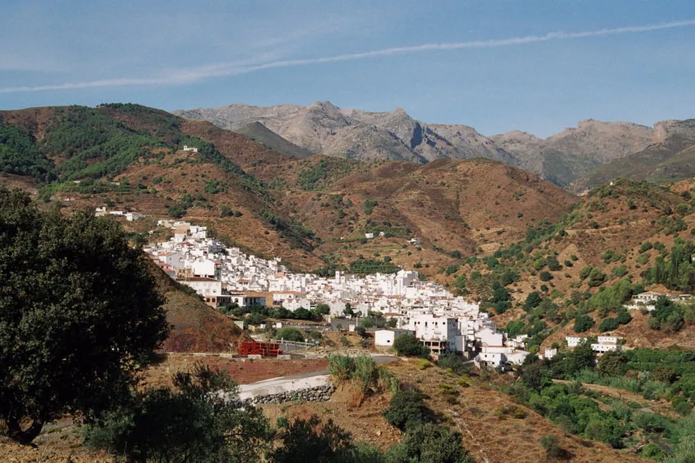
CanceladaSub-urbThe village of Cancelada is a charming stop with traditional Andalusian architecture and a peaceful atmosphere.
17 km
17 km
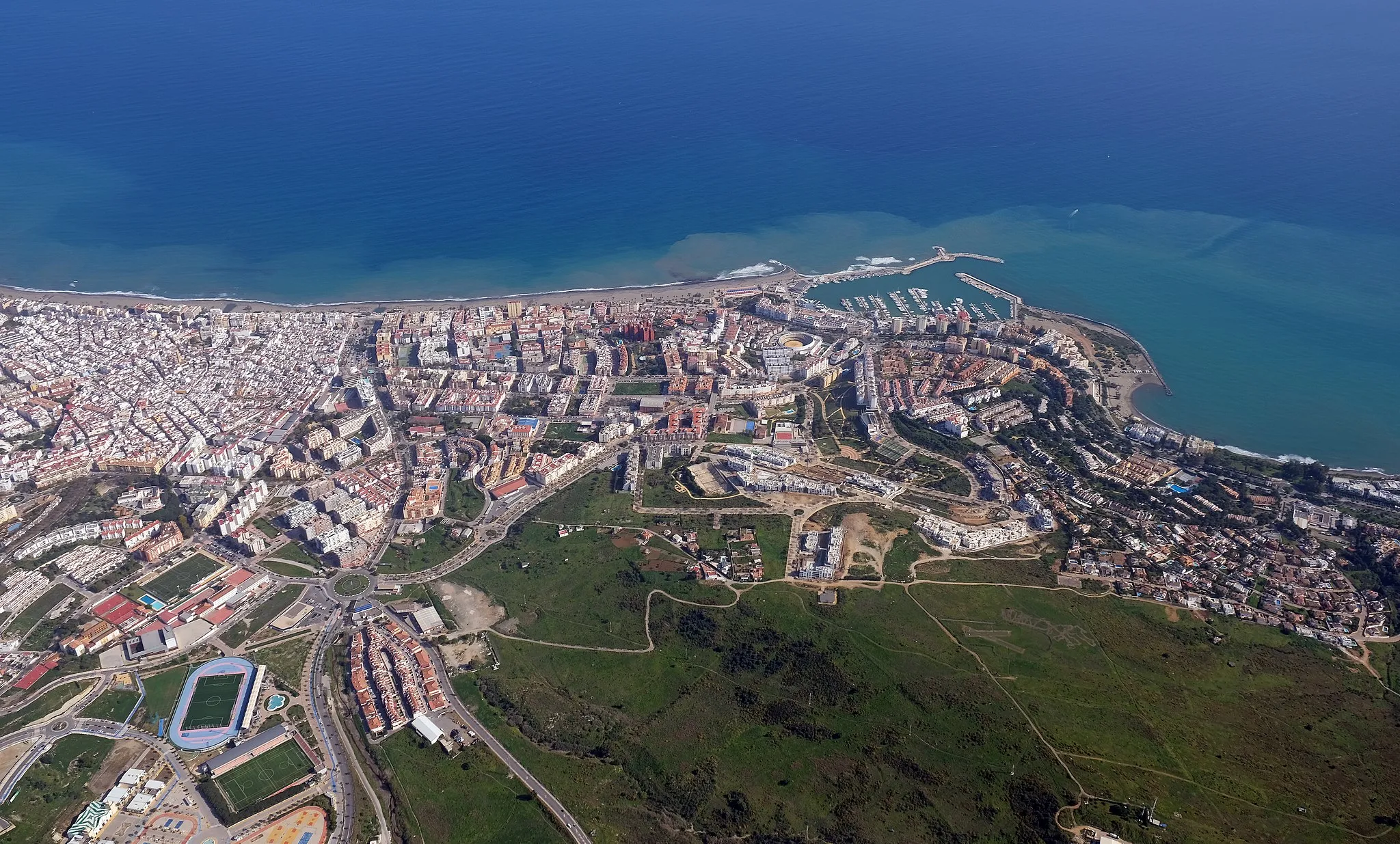
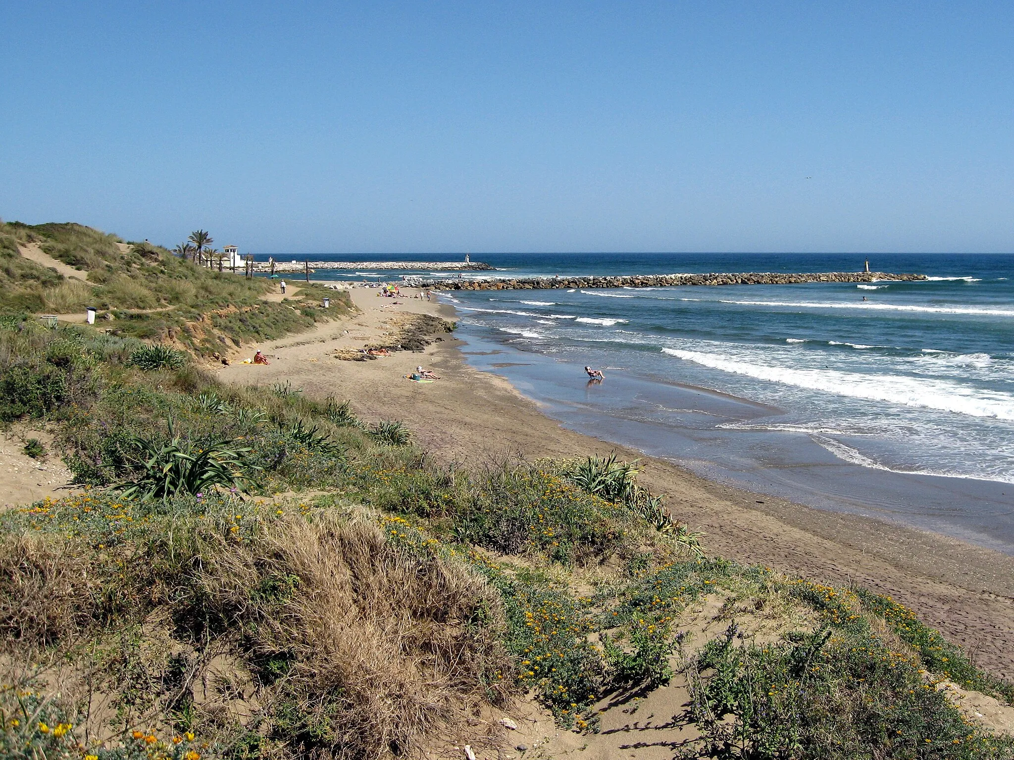
Mar AzulSub-urbMar Azul, a coastal neighborhood, presents a beautiful contrast between its sandy shores and the nearby mountain ranges.
35 km
35 km
Finish: Benahavís Village centerBenahavís: Enjoyable cycling and cultural exploration in Benahavís
Cycling routes nearby: